The best cycling routes around Beavercreek
4.6
(93)
442
riders
49
rides
Touring cycling around Beavercreek, Ohio, is characterized by an extensive network of paved, multi-use paths that connect various parks and natural features. The region is home to the Creekside Trail, a key component of the larger Miami Valley Trail network, offering over 350 miles of interconnected recreational trails. These routes often follow peaceful creeks, pass through shaded areas, and traverse wetland environments, providing diverse scenery. The landscape is generally flat, with minimal elevation changes, making it suitable for touring cyclists…
Last updated: May 16, 2026
4.5
(4)
28
riders
20.9km
01:13
60m
60m
Easy bike ride. Great for any fitness level. Mostly paved surfaces. Suitable for all skill levels.
4.7
(3)
15
riders
35.5km
02:02
130m
130m
Moderate bike ride. Good fitness required. Mostly paved surfaces. Suitable for all skill levels.

Sign up for free
5.0
(1)
9
riders
17.8km
01:01
40m
40m
Easy bike ride. Great for any fitness level. Mostly paved surfaces. Suitable for all skill levels.
5.0
(1)
8
riders
28.2km
01:37
90m
90m
Easy bike ride. Great for any fitness level. Mostly paved surfaces. Suitable for all skill levels.
9
riders
47.5km
02:44
120m
120m
Moderate bike ride. Good fitness required. Mostly paved surfaces. Suitable for all skill levels.
Get access to more routes and recommendations from other explorers.
Sign up for free
Already have an account?
Our route recommendations are based on thousands of hikes, rides, and runs completed by other people on komoot.
Start today with a free account
Your next adventure awaits.
Login or Signup
Popular around Beavercreek
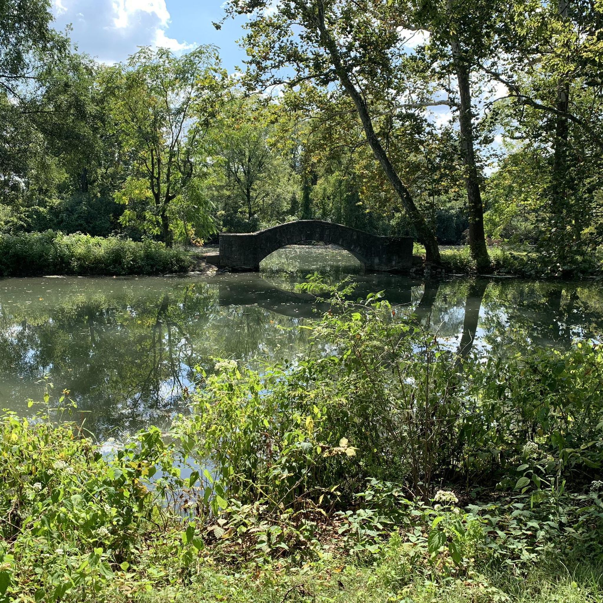
Tips from the Community

A very well-maintained park with beautiful hiking trails. There are parking spaces and shelters that can be rented for barbecues.
0
0

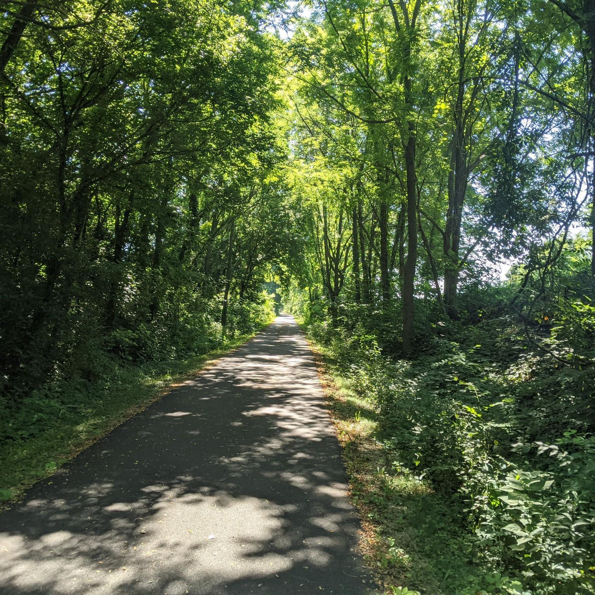
The Creekside Trail is a great 16-mile long trail that connects Dayton and Xenia. The trail is fully paved and is popular with walkers and cyclists. This section runs through several parks and green spaces, so it is a wonderful segment to ride.
0
0

Southern Ohio Brewery is right off the Beavercreek Trail Connector and is a great spot to grab some refreshments and food as a break along your ride.
0
0
The Xenia Station is a replica of an old brick train station that used to be in the area. It now holds a museum and meeting space, and serves as a trail head for several trails that intersect at this point.
1
0
The Creekside Trail is a great 16-mile long trail that connects Dayton and Xenia. The trail is fully paved and is popular with walkers and cyclists. This section runs through several parks and green spaces, so it is a wonderful segment to walk.
0
0
The Little Miami Scenic Trail is a 78-mile long mulituse trail through Hamilton, Clermont, Warren, Greene, and Clark counties. This section of the trail is paved and completely off-road and links Xenia with Spring Valley. It takes you through tranquil woodlands.
1
0
Spring Valley was founded in 1844 by Edward Walton and his son Moses, Quakers who were from Virginia. The town was an important crossroads for the area's trade, as the Cincinnati-Xenia Pike and the Little Miami Railroad passed through the town. There are still many historical buildings in the town, including The Old Hotel and Livery and the woolen mill.
2
0

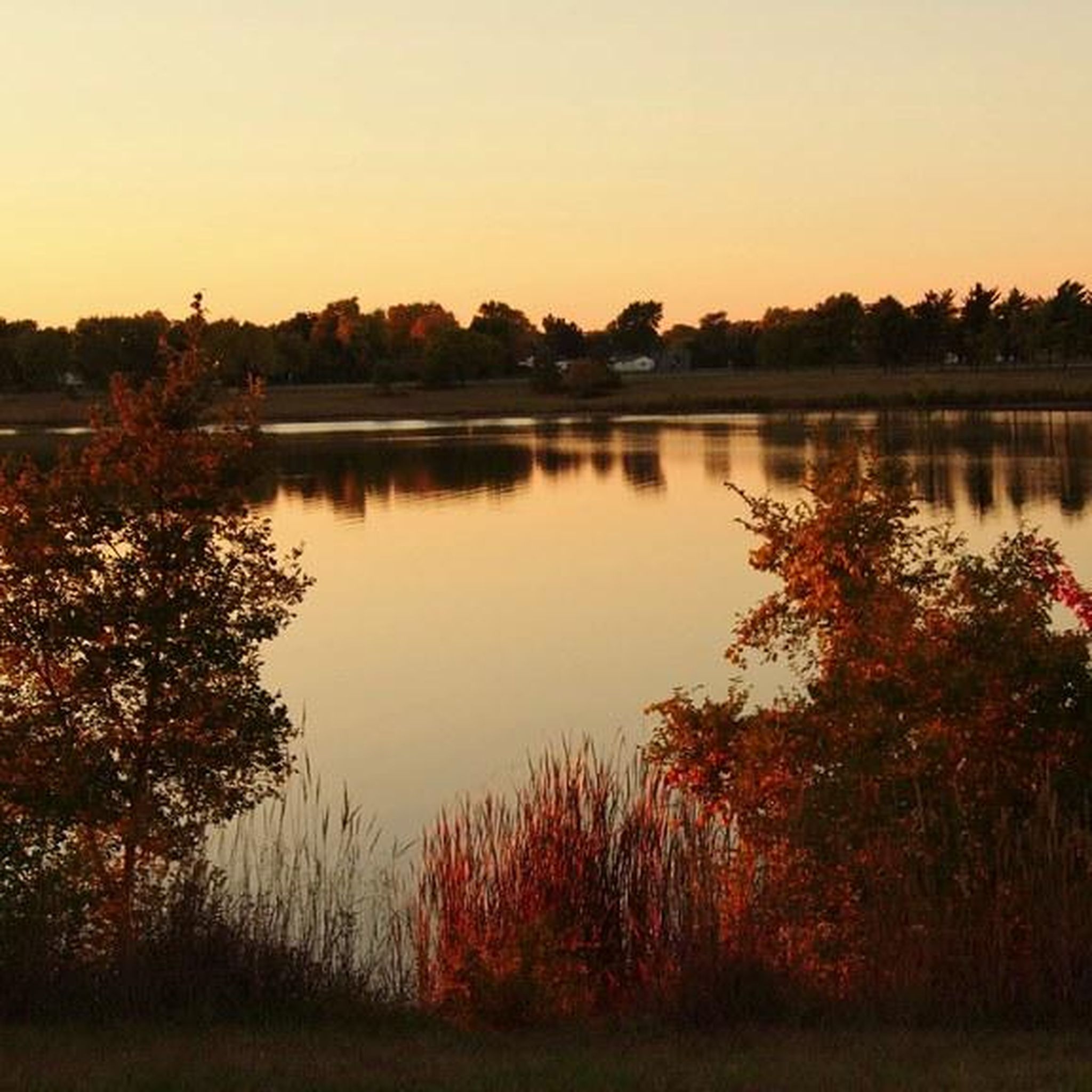
Eastwood MetroPark totals over 400 acres and includes a mile-long lake, picnic area, and a number of different walking and running paths. The main unpaved trail in the park is the Buckeye Trail, and the paved Mad River Recreation Trail passes through the property as well.
0
0
Frequently Asked Questions
How many touring cycling routes are available in Beavercreek?
Beavercreek offers a wide selection of touring cycling routes, with over 40 different options available on komoot. These routes cater to various preferences, from easy loops to more challenging journeys.
What is the typical terrain and difficulty level for touring cycling routes in Beavercreek?
The touring cycling routes in Beavercreek are generally characterized by extensive paved, multi-use paths. The landscape is mostly flat with minimal elevation changes, making it suitable for cyclists of varying abilities. Most routes are rated as easy (over 20 options) or moderate (nearly 20 options), with a few more difficult routes for those seeking a challenge.
Are there any family-friendly touring cycling routes in Beavercreek?
Yes, many routes in Beavercreek are ideal for families due to their paved surfaces and gentle gradients. The Creekside Trail – Xenia Station loop from Southern Ohio Brewing is an easy 13-mile option that follows the peaceful Creekside Trail, offering shaded sections and scenic views suitable for all ages. Additionally, many city parks accessible from the trails, like Russ Nature Reserve with its 'Nature PlayScape', provide extra family activities.
What natural features or landmarks can I expect to see along the cycling routes?
Cycling routes in Beavercreek often follow peaceful creeks and pass through shaded areas and wetland environments, offering diverse scenery. Along the Creekside Trail, you can find amenities like Beavercreek Station and Fifth Third Gateway Park. The trail also passes through wetland areas in Greene County, including the Creekside Reserve, where you might spot rare plants and animals. Nearby parks like Russ Nature Reserve feature hiking trails, a bee apiary, and a butterfly garden.
Are there any circular touring cycling routes in the Beavercreek area?
Yes, many of the touring cycling routes in Beavercreek are designed as loops. For example, the popular Eastwood Metro Park loop from Rosewood Arts Centre is an easy 17.5-mile path exploring the natural settings of Eastwood Metro Park. Another option is the Creekside Trail loop from Indian Riffle Disc Golf Course, which offers a 26.5 km ride.
Where can I find parking for the Beavercreek cycling trails?
Several parks and trail access points offer convenient parking. Fifth Third Gateway Park is a notable facility with parking directly on the Creekside Trail. Additionally, many city parks like Beavercreek Community Park and Virgallito Park provide parking and direct access to the trail network.
Is public transport available to access the cycling trails in Beavercreek?
While Beavercreek is well-connected by its extensive trail network, specific public transport options directly to trailheads may vary. It's advisable to check local public transit schedules and routes for the most current information on accessing specific trail points.
What amenities or rest stops are available along the Creekside Trail?
Along the Creekside Trail, cyclists can find amenities such as Beavercreek Station, which also hosts the city's September 11th Memorial, and Fifth Third Gateway Park, which offers a gazebo and parking. These spots provide convenient places to rest and refresh during your ride.
What is the best time of year to go touring cycling in Beavercreek?
Beavercreek's extensive paved trail network makes it enjoyable for touring cycling across multiple seasons. Spring and fall offer pleasant temperatures and scenic views of changing foliage or blooming nature. Summer is also popular, with many shaded sections along trails like the Creekside Trail providing relief from the sun.
What do other touring cyclists enjoy most about cycling in Beavercreek?
The touring cycling routes in Beavercreek are highly rated by the komoot community, with an average score of 4.5 stars from over 80 reviews. Cyclists often praise the extensive paved trail networks, the peaceful creek-side paths, and the variety of city parks accessible along the routes. The interconnectedness of the Miami Valley Trail network is also a highlight, allowing for diverse and longer journeys.
Are there options for longer touring cycling routes in Beavercreek?
Yes, Beavercreek is part of the larger Miami Valley Trail network, which boasts over 350 miles of paved recreational trails. This allows for extended touring cycling experiences. A notable longer route is the Creekside Trail – Xenia Station loop from Beavercreek, a 29.5-mile (47.5 km) trail that connects through this extensive network.
Can I connect to a larger trail network from Beavercreek?
Absolutely. Beavercreek is a crucial link in the extensive Miami Valley Trail network, which provides over 350 miles of paved recreational trails. This interconnectedness allows touring cyclists to easily embark on long-distance journeys, connecting Beavercreek to neighboring cities like Dayton and Xenia.
Are there any parks accessible directly from the cycling trails?
Yes, Beavercreek's cycling trails offer direct access to many of the city's 24 parks. For instance, Beavercreek Community Park and Virgallito Park are directly connected to the bike trail network. Huffman MetroPark, located nearby, also offers cycling via the Wright Brothers Huffman Prairie Bikeway and the Mad River Bikeway.
What kind of wildlife or natural areas can I observe while cycling?
The trails in Beavercreek, particularly sections of the Creekside Trail in Greene County, pass through two wetland areas, including the Creekside Reserve. These areas offer unique opportunities to observe diverse flora and fauna. Russ Nature Reserve, also accessible, features a bee apiary, a pond, and a butterfly garden, providing a chance to see various wildlife in a natural setting.
Most popular attractions around Beavercreek

Get inspired with the komoot mobile app


Explore more
Browse the best Cycling routes in other regions.
