The best traffic-free bike rides in Coconino National Forest
4.7
(24)
684
riders
6
rides
Road cycling in Coconino National Forest offers diverse landscapes, from high desert scrubland to dense ponderosa pine forests and ancient volcanic peaks. The region features significant elevation changes, with routes ascending from 2,600 feet to over 12,000 feet, providing varied cycling challenges. This vast forest encompasses distinct districts like Flagstaff, known for its volcanic summits, and Red Rock (Sedona), famous for its iconic red rock formations and canyons. Well-paved surfaces characterize many no traffic road cycling routes, making them accessible…
Last updated: August 31, 2026
24
riders
28.5km
01:28
420m
420m
Moderate road ride. Good fitness required. Mostly well-paved surfaces and easy to ride.
9
riders
91.6km
04:23
1,120m
1,120m
Hard road ride. Very good fitness required. Mostly well-paved surfaces and easy to ride.

Sign up for free
10
riders
Easy road ride. Great for any fitness level. Mostly well-paved surfaces and easy to ride.
11
riders
Easy road ride. Great for any fitness level. Mostly well-paved surfaces and easy to ride.
5.0
(1)
5
riders
20.6km
01:01
240m
240m
Easy road ride. Great for any fitness level. Mostly well-paved surfaces and easy to ride.
Our route recommendations are based on thousands of hikes, rides, and runs completed by other people on komoot.
Start today with a free account
Your next adventure awaits.
Login or Signup
Popular around Coconino National Forest

Arizona Trail — A beautiful 800-mile struggle

Adventure Cycling Association's Bicycle Route 66 — LA to Chicago

The Arizona Trail — From Mexico to Utah in 43 days

Historic Route 66 – curiosities, selfie spots and diners
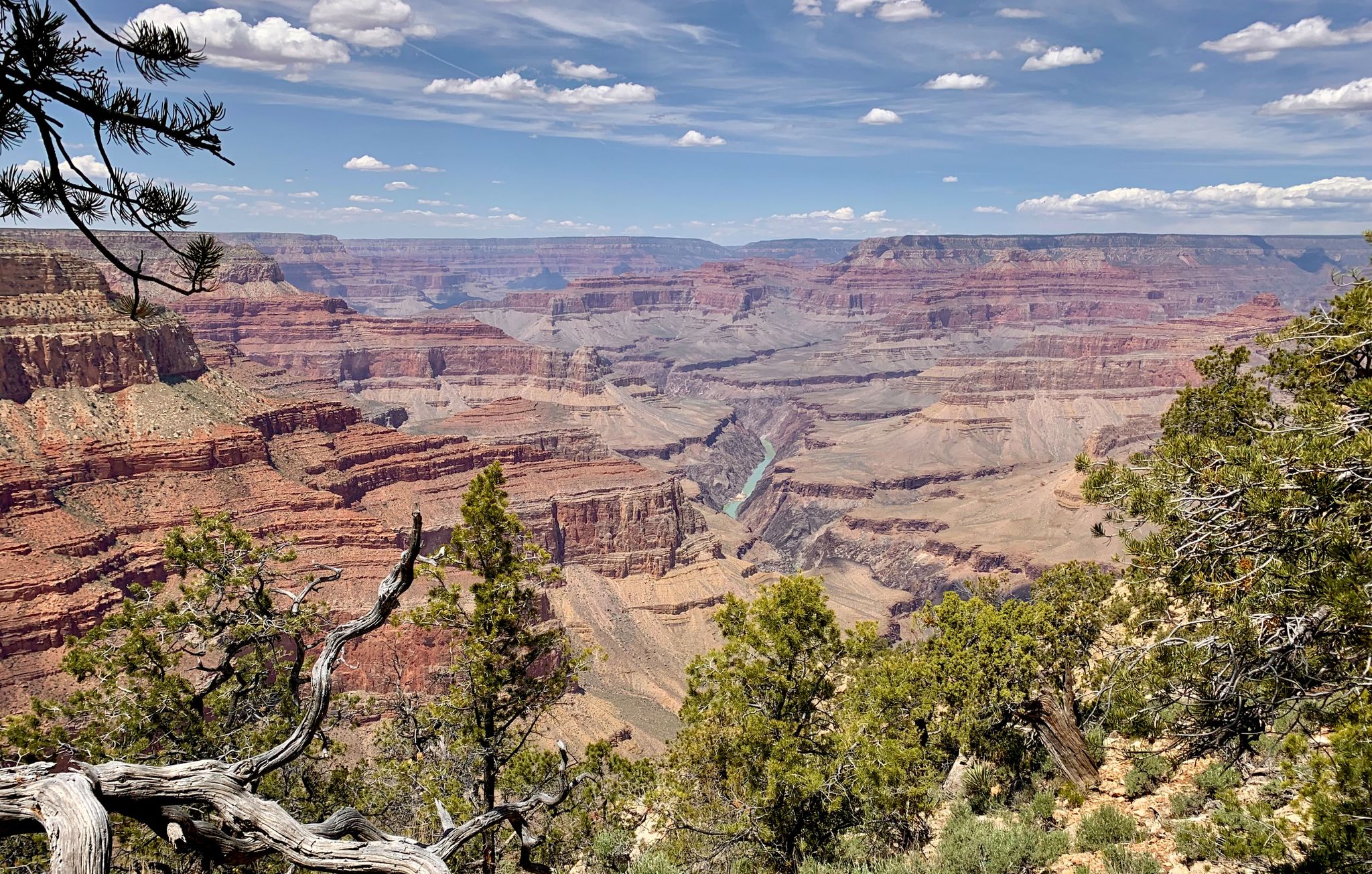
Arizona to Colorado – national parks and Native American culture
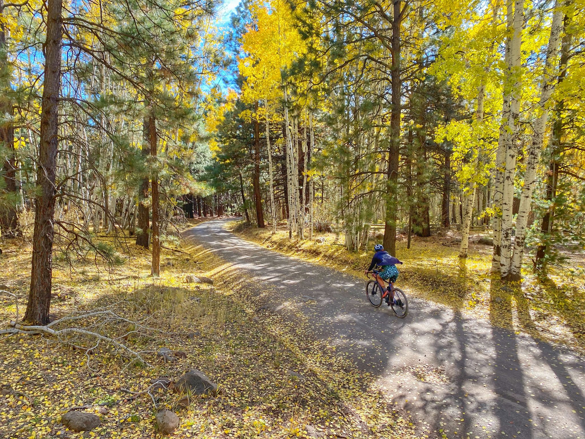
Grand Canyon to Mount Humphreys — a run, bike, run adventure
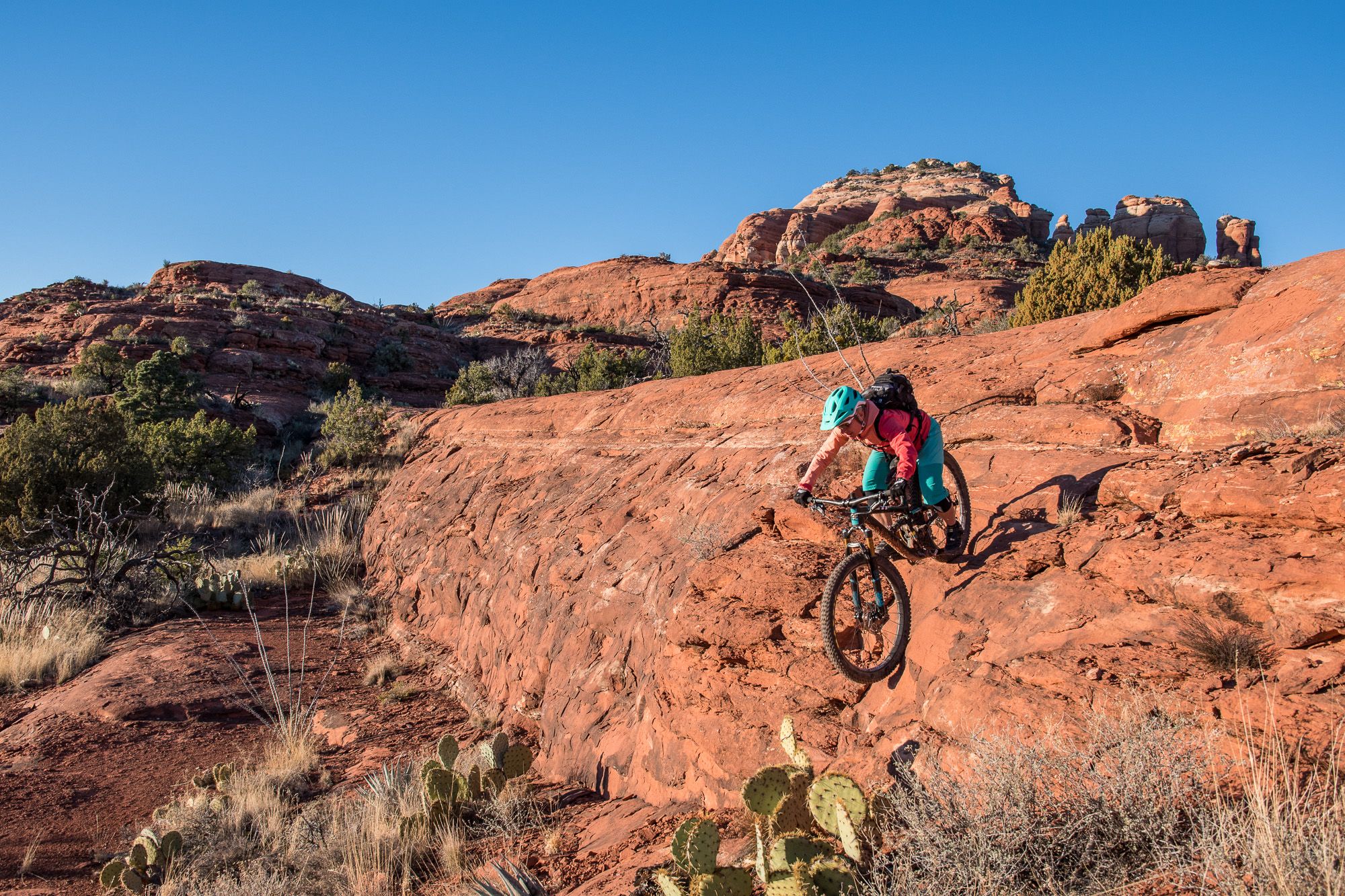
Shred the Red – Mountain biking in Sedona’s MTB hotspot

Traffic-free bike rides in Coconino National Forest

Traffic-free bike rides in Coconino National Forest
Other adventures in Coconino National Forest


Tips from the Community

People came towards me here who warned me about a rattlesnake on the trail. One should always be careful, as besides the poisonous Arizona black rattlesnake, there are other animals one would rather not encounter. I stayed overnight at the nearby Pine Flat Campground. There, upon check-in, you are shown photos of this rattlesnake, the non-poisonous Arizona mountain kingsnake, and the skunk as a warning. It is good that you warn others yourself or that others warn you, because you don't recognize many animals in front of you if they are not moving. At the entrance to the parking lot, you can buy a ticket for the parking lot from a machine, which you must place on the dashboard.
0
0

You can find this small tank while cycling Boynton Pass Road. Given the desert vibes, seeing water is always refreshing.
0
0
Just a small pond in the neighborhood that you can pass by while cycling Jacks Canyon Road.
0
0
If you want an easygoing out-and-back with big red rock views, this is a solid pick. It’s not too long, with gentle climbs as you head past the golf course into the canyon. Super quiet, especially early or late in the day. Great for a relaxed spin or adding a scenic detour to a longer ride around Sedona.
0
0
A smooth paved climb with awesome red rock views above Dry Creek. It’s got a steady grade that’s fun to spin up, with wide shoulders and great scenery. Best early in the day before it gets hot or busy. A solid spot to just enjoy the ride and take in Sedona’s colors.
0
0

This trailhead is a starting point for entering the scenic Boynton Canyon and Deadman's Pass Trail. A Red Rock or America the Beautiful Pass is required. There is a vault toilet and plenty of parking; however, it is a popular location for hikers, and arriving early in the day is best.
0
0

Hop off your bike and discover Nalakihu Pueblo. This site was once the heart of a lively agricultural community from the early 1100s to the mid-1200s CE. The region offered excellent conditions for farming and hunting game animals like mule deer, elk, and pronghorn.
0
0
This is a stunning stretch of road that begins after the Visitor Center. It takes you through an unusual, moon-like landscape and across a high desert. Make sure to bring plenty of water and food, as the area is desolate and lacks cell service in many spots.
0
0
Frequently Asked Questions
How many no-traffic road cycling routes are available in Coconino National Forest?
Komoot features 6 dedicated no-traffic road cycling routes in Coconino National Forest. These routes are carefully selected to offer a serene cycling experience away from vehicular traffic, allowing you to fully immerse yourself in the natural beauty of the region.
What kind of terrain and elevation can I expect on these no-traffic road cycling routes?
Coconino National Forest offers a diverse range of terrain, from high desert scrubland to dense ponderosa pine forests. You can expect varied elevation changes, with some routes featuring significant climbs and others being relatively flat. For example, the Dry Creek Road to Long Canyon Road & Aerie Road route includes over 420 meters of elevation gain, while other routes are flatter.
Are there easy no-traffic road cycling routes suitable for beginners or families?
Yes, there are 3 easy no-traffic road cycling routes available. A great option for beginners or families is the Boynton Canyon Trailhead – Fay Canyon Trailhead loop, which covers approximately 18 km with moderate elevation, making it accessible for various fitness levels.
Are there challenging no-traffic road cycling routes for experienced cyclists?
Absolutely. For experienced cyclists seeking a challenge, there is 1 difficult no-traffic road cycling route. The Sunset Crater to Nalakihu Pueblo route is a demanding ride spanning over 91 km with more than 1100 meters of elevation gain, offering a significant test of endurance and providing stunning views.
What natural features or landmarks can I see along these no-traffic road cycling routes?
Many routes offer access to the stunning natural features of Coconino National Forest. In the Red Rock District, you might encounter iconic formations like Courthouse Rock or the famous Devil's Bridge. The Flagstaff District features volcanic landscapes and views of the San Francisco Peaks. Some routes also pass by beautiful lakes such as Bismarck Lake.
Are there any specific viewpoints or scenic spots on these routes?
Yes, Coconino National Forest is renowned for its scenic beauty. The Red Rock District, in particular, offers breathtaking vistas of red rock buttes and canyons. While cycling, you'll find numerous spots to pause and enjoy panoramic views, especially around areas like Oak Creek Canyon or from higher elevations in the Flagstaff District, such as near Lockett Meadow.
What do other cyclists say about road cycling in Coconino National Forest?
The komoot community highly rates road cycling in Coconino National Forest, with an average score of 4.86 out of 5 stars. Reviewers often praise the quiet roads, the dramatic changes in scenery from pine forests to red rock landscapes, and the rewarding climbs that offer spectacular views.
Are there any loop routes for no-traffic road cycling?
Yes, several no-traffic road cycling routes in Coconino National Forest are designed as loops, offering a convenient way to start and end your ride at the same point. Examples include the Fay Canyon Trailhead – OK Tank loop and the Speeds Tank loop from Village of Oak Creek.
What is the best time of year for no-traffic road cycling in Coconino National Forest?
The best time for road cycling in Coconino National Forest generally depends on the elevation. Spring and fall offer pleasant temperatures across most areas. Summer can be warm, especially at lower elevations like Sedona, but higher areas around Flagstaff provide cooler conditions. Winter cycling is possible, but higher elevation routes may be impacted by snow and ice, particularly in the Flagstaff District.
Is parking available near the starting points of these routes?
Parking is generally available near the trailheads and starting points of many routes within Coconino National Forest. Specific parking details can often be found on individual route pages on komoot. It's always advisable to check the route description for the most accurate parking information before your ride.
Can I find amenities like cafes or accommodation near these no-traffic road cycling routes?
While the routes themselves are designed to be traffic-free and often pass through natural areas, towns like Flagstaff and Sedona, which border the forest, offer a wide range of amenities. You'll find cafes, restaurants, and various accommodation options in these towns, making them convenient bases for your cycling adventures. It's recommended to plan your route to pass through or near these towns if you require specific services.
Most popular routes in Coconino National Forest
Most popular attractions in Coconino National Forest

Get inspired with the komoot mobile app


Explore more
Browse the best Road cycling routes in other regions.
