The best dog-friendly hikes and walks in Coconino National Forest
4.7
(1375)
16,231
hikers
45
hikes
Dog friendly hiking trails in Coconino National Forest traverse a diverse landscape spanning over 1.8 million acres in northern Arizona. The region features a range of environments, from red rock canyons and high desert to extensive ponderosa pine forests and alpine tundra. Elevations vary significantly, contributing to varied terrain and ecosystems suitable for different hiking experiences. This national forest offers a vast network of trails across its distinct districts, including the iconic red rock formations of Sedona and the volcanic…
Last updated: July 8, 2026
5.0
(1)
29
hikers
6.22km
01:47
220m
30m
The Boynton Canyon Trail offers a captivating blend of Sedona's famous red rock vistas and serene forested paths. You'll begin in the open, sun-drenched landscape, then descend into a cooler,…
4
hikers
24.3km
06:42
340m
370m
The Mescal, Aerie, Cockscomb and Dawa Loop offers a difficult hiking experience through Sedona's Red Rock Country. This route covers 15.1 miles (24.3 km) with an elevation gain of 1102…

Sign up for free
5.0
(1)
5
hikers
2.73km
00:46
70m
20m
The Boynton Canyon Trail offers a truly unique hiking experience, blending striking red rock scenery with a palpable sense of spiritual energy. As you walk, you'll pass through natural ground…
3
hikers
4.07km
01:08
80m
60m
Hike the 2.5-mile Mescal Mountain and Yucca Loop Trail in Sedona for moderate desert terrain, red rock views, and a glimpse of Thunder Mount
7.77km
02:14
220m
80m
The Devil's Bridge via Mescal and Chuckwagon Trail offers a unique perspective on Sedona's famous red rock country, guiding you through a diverse landscape of desert plants and forested sections…
Get access to more routes and recommendations from other explorers.
Sign up for free
Already have an account?
Our route recommendations are based on thousands of hikes, rides, and runs completed by other people on komoot.
Start today with a free account
Your next adventure awaits.
Login or Signup
Popular around Coconino National Forest

The Arizona Trail — From Mexico to Utah in 43 days

Historic Route 66 – curiosities, selfie spots and diners
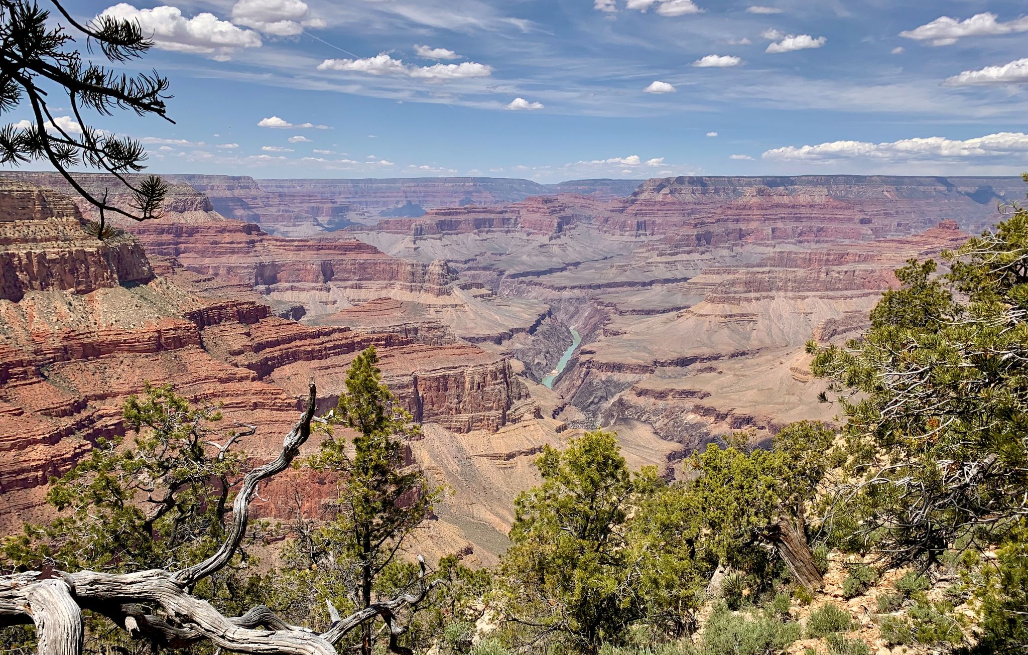
Arizona to Colorado – national parks and Native American culture

Arizona Trail — A beautiful 800-mile struggle

Adventure Cycling Association's Bicycle Route 66 — LA to Chicago
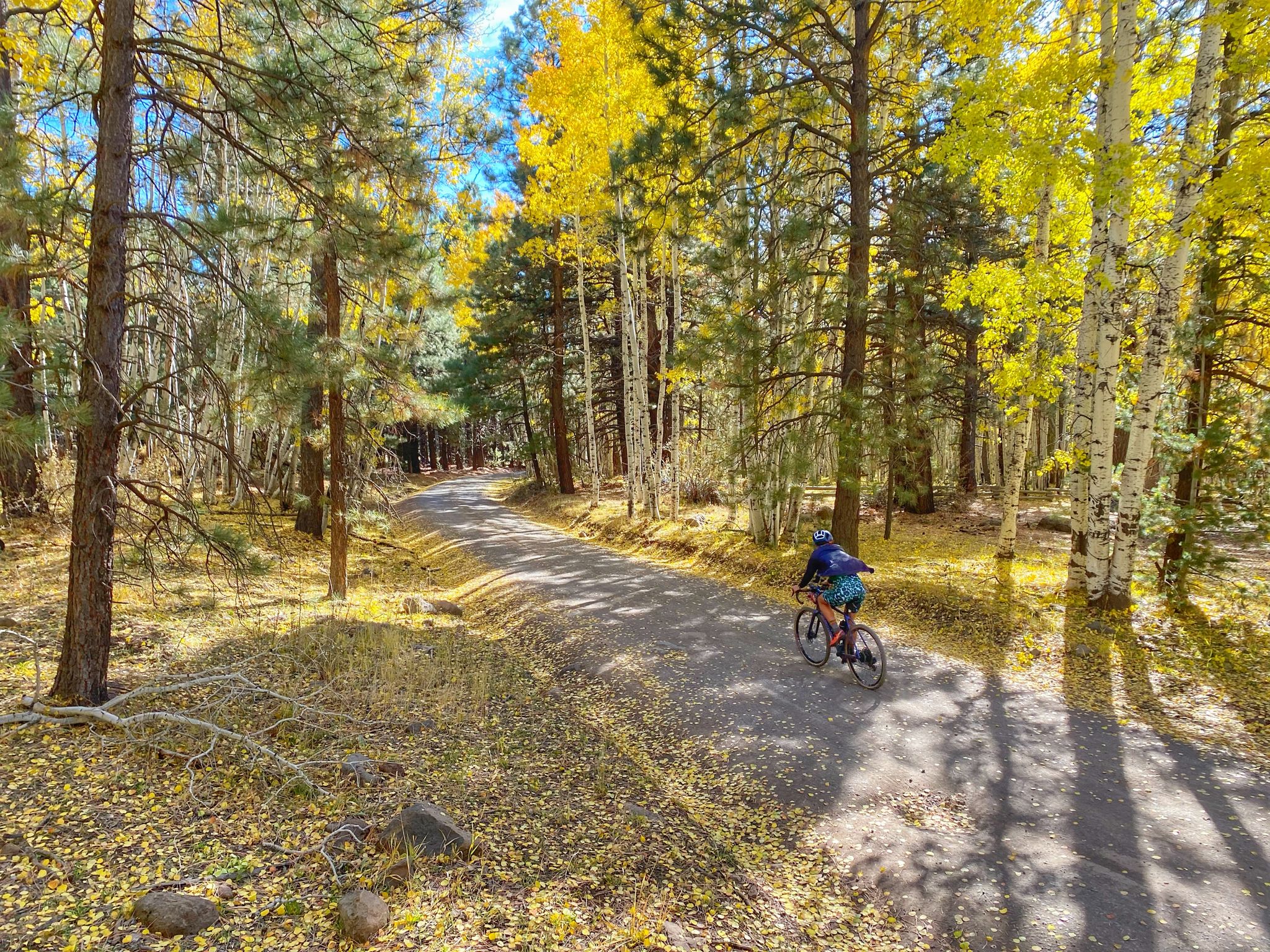
Grand Canyon to Mount Humphreys — a run, bike, run adventure
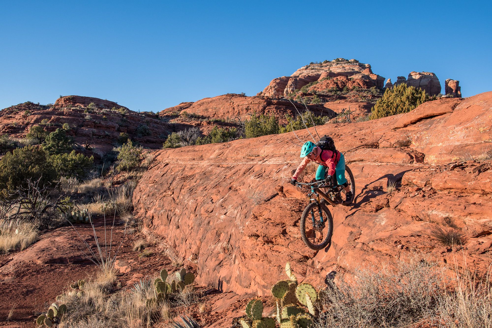
Shred the Red – Mountain biking in Sedona’s MTB hotspot
Other adventures in Coconino National Forest


Tips from the Community

People came towards me here who warned me about a rattlesnake on the trail. One should always be careful, as besides the poisonous Arizona black rattlesnake, there are other animals one would rather not encounter. I stayed overnight at the nearby Pine Flat Campground. There, upon check-in, you are shown photos of this rattlesnake, the non-poisonous Arizona mountain kingsnake, and the skunk as a warning. It is good that you warn others yourself or that others warn you, because you don't recognize many animals in front of you if they are not moving. At the entrance to the parking lot, you can buy a ticket for the parking lot from a machine, which you must place on the dashboard.
0
0

This trailhead is a starting point for entering the scenic Boynton Canyon and Deadman's Pass Trail. A Red Rock or America the Beautiful Pass is required. There is a vault toilet and plenty of parking; however, it is a popular location for hikers, and arriving early in the day is best.
0
0

This junction boasts breathtaking views of Mescal Mountain and the Secret Mountain Wilderness. If you're up for a short (1 mile) detour along the Mescal Trail, your reward will be an opportunity to enjoy even more spectacular scenery. The trail takes you up and around a ridge, leading into a stunning Red Rock "bowl" beneath Mescal Mountain. This hidden spot offers extraordinary panoramic vistas of the Secret Mountain Wilderness, Sedona, and Courthouse Butte in the distance.
0
0

The parking lot at the Mascal Trailhead is the ideal starting point for the tour up to Devil's Bridge
0
0


Devil's Bridge is one of the absolute highlights in the region. Accordingly, many people can be found there, standing in line to have their picture taken on the rock bridge. A visit as early as possible is therefore advisable. The bridge is easily reached via the off-road road that leads from the south to the trailhead.
0
0

At the very end of the trail, you will be gifted with views of the towering walls from the box canyon you just journeyed through. The slick rock in the area makes for clean seats and a great place to drop your pack and take a break.
0
0
Frequently Asked Questions
How many dog-friendly hiking trails are there in Coconino National Forest?
Coconino National Forest offers nearly 50 dog-friendly hiking trails. These routes cater to various skill levels, from easy strolls to challenging treks, ensuring there's an adventure for every dog and owner.
Are there easy dog-friendly trails suitable for beginners or older dogs?
Yes, there are 13 easy dog-friendly trails perfect for beginners, families, or older dogs. A great option is the Boynton Canyon Trail, which offers a gentle path through scenic landscapes.
What are some challenging dog-friendly hikes for experienced hikers?
For experienced hikers and their canine companions, Coconino National Forest features 13 difficult dog-friendly trails. Consider the Mescal, Aerie, Cockscomb and Dawa Loop for a strenuous adventure with significant elevation changes and rewarding views.
Can I find dog-friendly loop trails in Coconino National Forest?
Absolutely! Many dog-friendly trails in the forest are loops, providing varied scenery without retracing your steps. The Mescal Mountain and Yucca Loop Trail is a moderate option, while the Mescal Mountain and Cockscomb Loop offers a longer, more challenging experience.
Are there dog-friendly trails with water access for my pet?
While Coconino National Forest has diverse landscapes, direct water access on trails can be limited, especially in drier areas. However, some trails pass near natural features like Fossil Springs or Bismarck Lake. Always carry plenty of water for yourself and your dog, as natural sources may not be reliable or safe for drinking.
What interesting natural features or landmarks can I see on dog-friendly trails?
Many dog-friendly trails offer stunning views of the forest's diverse landscapes. You might encounter iconic red rock formations, volcanic peaks, or ponderosa pine forests. Notable natural monuments like Courthouse Rock and Devil's Bridge are popular highlights, though specific trail access with dogs may vary for the latter. Always check local regulations.
What do other hikers say about the dog-friendly trails in Coconino National Forest?
The dog-friendly trails in Coconino National Forest are highly rated by the komoot community, with an average score of 4.7 stars. Reviewers often praise the stunning red rock scenery, well-maintained paths, and the variety of trails suitable for different fitness levels, making it a favorite for outdoor enthusiasts and their dogs.
What is the best time of year to hike with my dog in Coconino National Forest?
The best time to hike with your dog in Coconino National Forest is typically spring and fall when temperatures are milder. Summer can be very hot, especially in the Red Rock District, so early morning or late afternoon hikes are recommended. Winter offers a unique experience, particularly in the higher elevations of the Flagstaff District, but be prepared for snow and colder conditions.
What should I pack for a dog-friendly hike in this region?
Always pack essential items for both yourself and your dog. This includes plenty of water, a collapsible bowl, waste bags, a leash, and any necessary first-aid supplies for your pet. Depending on the trail length and weather, consider dog booties for rocky or hot surfaces, and extra food or treats.
Are there less crowded dog-friendly hiking options in Coconino National Forest?
To avoid crowds, especially in popular areas like Sedona, consider hiking during weekdays, early mornings, or late afternoons. Exploring trails in the Mogollon Rim District or less-trafficked sections of the Flagstaff District can also offer a more serene experience with your dog.
Are there family-friendly dog hikes available?
Yes, many of the easy and moderate trails are suitable for families hiking with their dogs. The Boynton Canyon Trail is a great example, offering manageable distances and beautiful scenery that both children and dogs can enjoy.
Most popular routes in Coconino National Forest
Most popular attractions in Coconino National Forest

Get inspired with the komoot mobile app


Explore more
Browse the best Hikes in other regions.
