The best hikes from bus stations in Grand Canyon National Park
4.8
(2839)
37,756
hikers
58
hikes
Bus station hiking trails in Grand Canyon National Park traverse a landscape defined by a vast, deep canyon carved by the Colorado River, exposing millions of years of geological history through its layered rock formations. The park features diverse ecosystems, from arid desert to forested plateaus, offering varied terrain for hikers. Trails often follow the canyon rim or descend into its depths, providing access to unique geological features and panoramic vistas. The region is characterized by immense scale and dramatic elevation changes.
Best bus station hiking trails in Grand Canyon National Park
- The most popular bus station hiking route is Bright Angel Trail, a 6.3 miles (10.1 km) trail that takes 4 hours 33 minutes to complete. This trail offers a well-maintained descent into the canyon with multiple rest stops.
- Another top favourite among local hikers is Rim Trail, a moderate 9.6 miles (15.4 km) path. This route provides extensive views along the South Rim, connecting various viewpoints and visitor services.
- Local hikers also love the Bright Angel Trailhead – Bright Angel Viewpoint loop from Grand Canyon Village, a 3.3 miles (5.3 km) trail leading through varied canyon terrain, often completed in about 1 hour 50 minutes.
- Hiking in Grand Canyon National Park is defined by vast canyon vistas, geological formations, and the presence of the Colorado River. The network offers options for different ability levels, from easy rim walks to challenging inner-canyon descents.
- The routes in Grand Canyon National Park are highly rated by the komoot community with an average score of 4.8 stars from more than 2,800 reviews. More than 36,000 hikers have used komoot to explore Grand Canyon National Park's varied terrain.
Last updated: August 31, 2026
4.9
(165)
1,493
hikers
10.1km
04:33
630m
630m
Moderate hike. Good fitness required. Mostly accessible paths. Sure-footedness required.
4.0
(1)
45
hikers
3.57km
00:56
40m
20m
Easy hike. Great for any fitness level. Easily-accessible paths. Suitable for all skill levels.

Sign up for free
12
hikers
3.58km
01:35
0m
510m
Hard hike. Great for any fitness level. Sure-footedness, sturdy shoes and alpine experience required.
4.8
(16)
216
hikers
15.4km
04:09
190m
190m
Moderate hike. Good fitness required. Easily-accessible paths. Suitable for all skill levels.
4.9
(153)
1,496
hikers
Moderate hike. Good fitness required. Mostly accessible paths. Sure-footedness required.
Get access to more routes and recommendations from other explorers.
Sign up for free
Already have an account?
Our route recommendations are based on thousands of hikes, rides, and runs completed by other people on komoot.
Start today with a free account
Your next adventure awaits.
Login or Signup
Popular around Grand Canyon National Park

The Arizona Trail — From Mexico to Utah in 43 days
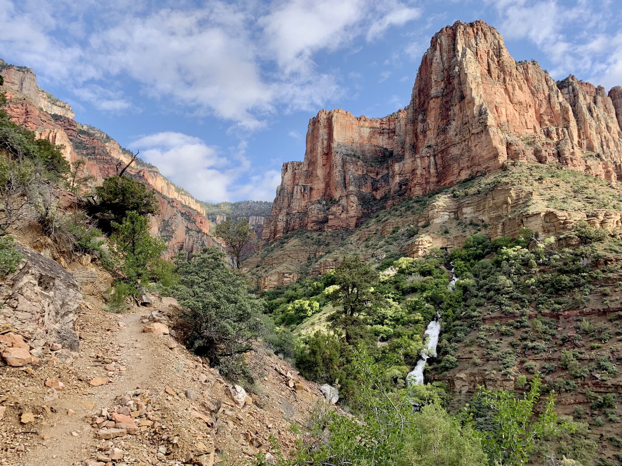
Rim-to-Rim-to-Rim – top to bottom through the Grand Canyon

Historic Route 66 – curiosities, selfie spots and diners
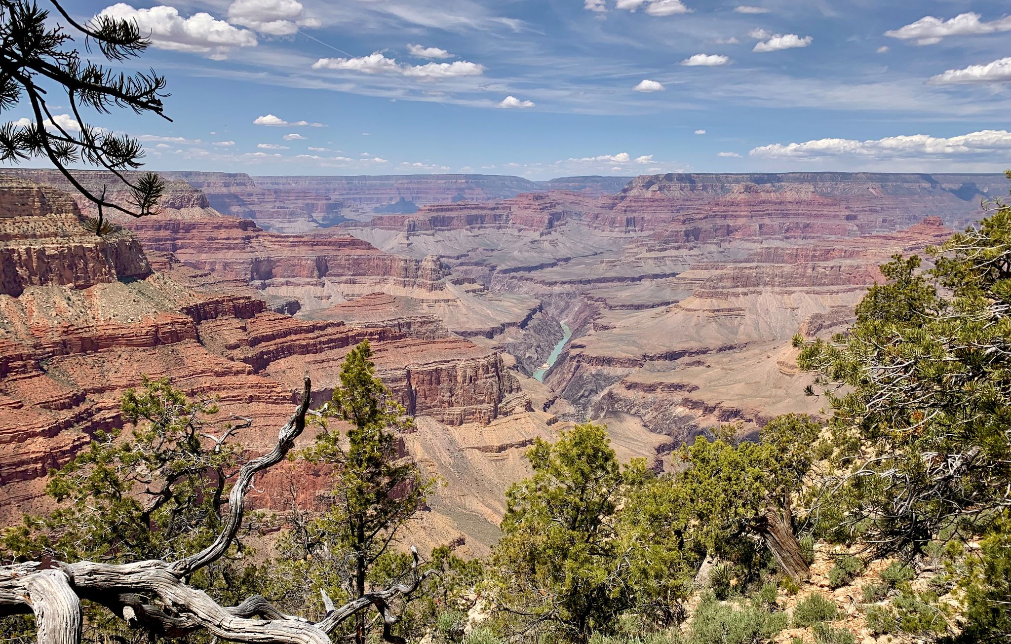
Arizona to Colorado – national parks and Native American culture
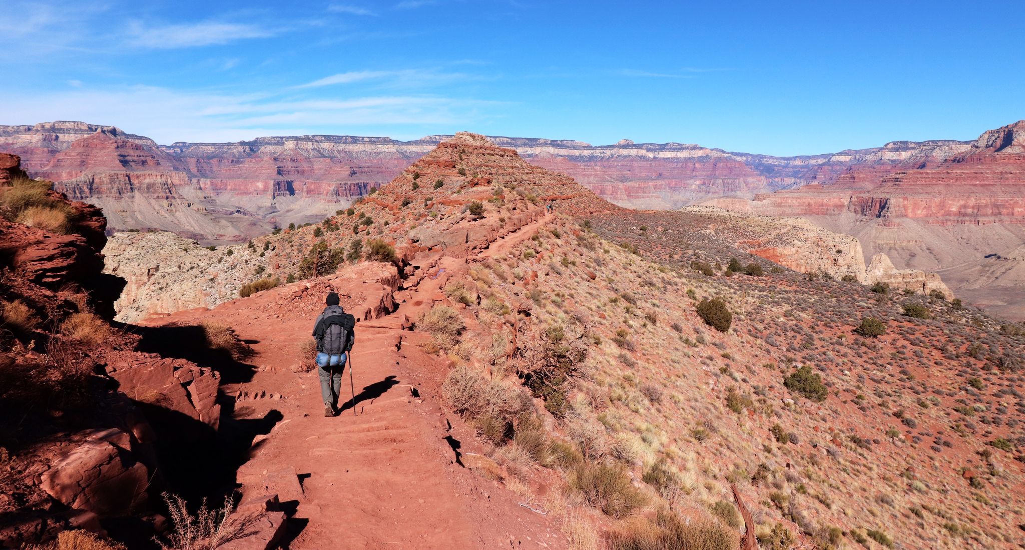
An unforgettable winter hike through the Grand Canyon

The pristine beauty of the US National Parks

Arizona Trail — A beautiful 800-mile struggle
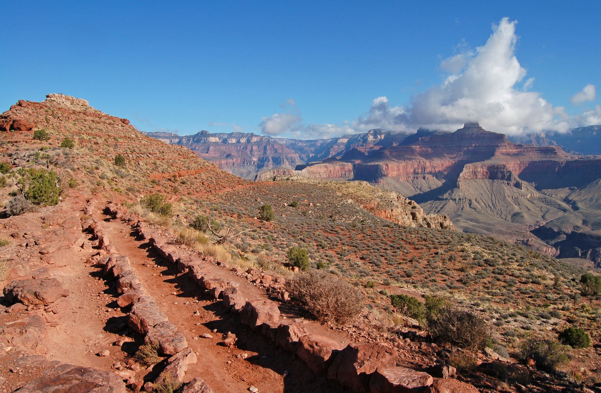
Rim-to-Rim-to-Rim — Fastpacking into the Grand Canyon’s heart
Grand Canyon to Mount Humphreys — a run, bike, run adventure
Other adventures in Grand Canyon National Park


Tips from the Community

Once you've descended past the tunnel, look up to your left to see some amazing petroglyphs, including very-detailed deer done in red, with beautiful antlers!
0
0
Unlike at the 3-mile resthouse, this resthouse does not have benches inside the shelter
0
0

You can only recommend walking a few meters on this path in front of this breathtaking scenery. It's worth it.
0
0

Mohave Point offers incredible views over the Grand Canyon, especially at sunset. You’ll also get a perfect view of the Tonto Trail winding deep into the canyon. The trail to the very tip of the point isn’t paved, so you can stop your bike and take a short hike to check it out.
0
0

At Pima Point, you can both see and hear the rumbling Colorado River with the Hermit Rapids in sight.
1
0

The further down you go, the more deserted it becomes, but you also have to remember to come back up again!! We were here in December and the way up was strenuous even with the low temperatures. Make sure you take enough water with you, the drinking water fountains are turned off in winter.
1
0
The Hopi House was originally designed to showcase Native American art and crafts. Designed by architect Mary Colter and built in 1905, it resembles a traditional Hopi dwelling, reflecting the craftsmanship and culture of the Hopi people with its handcrafted stone and adobe walls. Today, it serves as a gift shop.
2
0
This is where the Bright Angel Trail's switchbacks begin—a strategic spot offering stunning views of the canyon and its towering walls surrounding the trail. From here, you can choose between a short, easy hike or a more challenging adventure that descends deeper into the canyon.
0
0
Frequently Asked Questions
How many bus station hiking trails are available in Grand Canyon National Park?
Our guide features nearly 60 hiking trails accessible from bus stations in Grand Canyon National Park. These routes range from easy strolls along the rim to challenging descents into the canyon, offering diverse experiences for all skill levels.
What are some easy, family-friendly hikes accessible by bus in Grand Canyon National Park?
For an easy and family-friendly experience, consider the Grand Canyon Greenway Trail. It's mostly flat and offers scenic views. Another excellent option is sections of the Rim Trail, which is paved in many areas and easily accessible from various shuttle stops along the South Rim. These trails provide stunning panoramic views without significant elevation changes.
Are there any wheelchair-accessible trails from bus stops in Grand Canyon National Park?
Yes, several sections of the Rim Trail along the South Rim are paved and wheelchair-accessible, particularly between Mather Point, Yavapai Point, and the Grand Canyon Village area. The Bright Angel Point Trail on the North Rim is also a short, paved, self-guided nature trail with spectacular views.
What is the best season for bus station hiking in Grand Canyon National Park?
The best seasons for hiking in Grand Canyon National Park are spring (April-May) and fall (September-October) when temperatures are milder. Summer can be extremely hot, especially for trails descending into the canyon, while winter brings colder temperatures and potential snow, particularly on the North Rim which closes seasonally. Always check current weather conditions before heading out.
What kind of natural attractions can I see along bus-accessible trails?
Many bus-accessible trails offer incredible views of the Grand Canyon's geological formations and the Colorado River. Along the South Rim, you can easily reach viewpoints like Ooh Aah Point and Cedar Ridge via trails like the South Kaibab. The Rim Trail provides access to iconic overlooks such as Mather Point, Yavapai Point, and Hopi Point. While direct waterfall access from bus stops is limited, you can get views of distant waterfalls like Roaring Springs from certain North Rim viewpoints.
Are there any challenging hikes accessible from bus stops?
Absolutely. The Bright Angel Trail, accessible from Grand Canyon Village (a major bus hub), offers a challenging descent into the canyon with significant elevation changes. Another strenuous option is the Hermit Trail to Santa Maria Spring, which provides a rugged experience with rewarding views. Remember that descending into the canyon means a strenuous climb back out.
Can I find circular hiking routes that start and end at a bus station?
While many trails are out-and-back, some routes can be combined with the shuttle system to create a loop-like experience. For example, you can hike a section of the Rim Trail between two shuttle stops and then take the bus back to your starting point. The Bright Angel Trailhead – Bright Angel Viewpoint loop from Grand Canyon Village is a moderate circular option that utilizes a well-known trailhead.
What do other hikers enjoy most about bus station hiking in Grand Canyon National Park?
The area is highly rated by the komoot community, with an average score of 4.8 stars. Reviewers often praise the unparalleled, breathtaking vistas, the convenience of accessing diverse trails directly from shuttle stops, and the unique opportunity to experience one of the world's natural wonders without needing a personal vehicle for every trailhead.
Are there cafes or amenities near the bus stops on the South Rim?
Yes, the main bus stops, particularly those around Grand Canyon Village, offer access to various amenities. You'll find visitor centers, restrooms, gift shops, and several dining options, including cafes and restaurants, making it convenient to refuel before or after your hike.
What are some safety considerations for hiking from bus stations in Grand Canyon National Park?
Always carry plenty of water, especially when hiking into the canyon, as temperatures can be extreme. Be aware of elevation changes; descending into the canyon is easier than ascending. Stay on marked trails, wear appropriate footwear, and inform someone of your plans. For trails like Bright Angel or South Kaibab, be prepared for strenuous conditions and turn around before you are too tired to return.
Are there any hidden gem trails accessible by bus that offer unique views?
While many bus-accessible trails are well-known for their iconic views, exploring less-trafficked sections of the Rim Trail further from the main visitor centers can offer quieter, equally stunning perspectives. Additionally, the North Rim, though less frequently visited and only accessible seasonally by bus, provides a more secluded experience with trails like the Uncle Jim Trail offering unique views through alpine forests overlooking the canyon.
Most popular routes in Grand Canyon National Park
Most popular attractions in Grand Canyon National Park

Get inspired with the komoot mobile app


Explore more
Browse the best Hikes in other regions.
