The best traffic-free bike rides in Arapahoe County
4.5
(72)
4,210
riders
39
rides
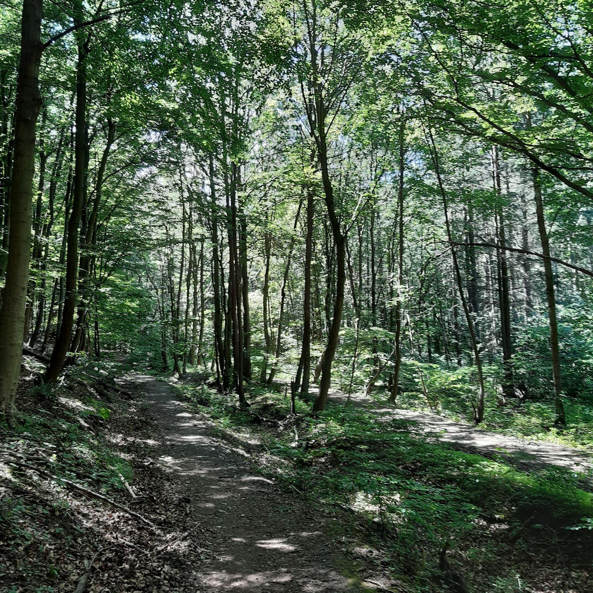
No traffic road cycling routes in Arapahoe County traverse a diverse landscape characterized by river corridors, open spaces, and views of the Rocky Mountains. The region features extensive trail networks, including paved paths and hard-packed gravel surfaces, suitable for various skill levels. Elevation gains are generally moderate, with some routes featuring hills under 200 meters. This blend of urban and natural settings provides varied terrain for road cyclists.
Best no traffic road cycling routes in Arapahoe County
- The most popular…
Last updated: July 7, 2026
4.3
(3)
114
riders
Moderate road ride. Good fitness required. Some segments of this route may be unpaved and difficult to ride.
62
riders
Easy road ride. Great for any fitness level. Mostly well-paved surfaces and easy to ride.

Sign up for free
5.0
(1)
90
riders
Easy road ride. Great for any fitness level. Mostly well-paved surfaces and easy to ride.
42
riders
38.0km
01:52
120m
120m
Moderate road ride. Great for any fitness level. Some segments of this route may be unpaved and difficult to ride.
3.0
(1)
32
riders
41.5km
02:08
200m
200m
Moderate road ride. Good fitness required. Mostly well-paved surfaces and easy to ride.
Get access to more routes and recommendations from other explorers.
Sign up for free
Already have an account?
Our route recommendations are based on thousands of hikes, rides, and runs completed by other people on komoot.
Start today with a free account
Your next adventure awaits.
Login or Signup
Popular around Arapahoe County
Traffic-free bike rides in Cherry Creek State Park
Traffic-free bike rides around Littleton
Traffic-free bike rides around Aurora
Traffic-free bike rides around Greenwood Village

Traffic-free bike rides around Englewood

Traffic-free bike rides around Centennial
Traffic-free bike rides in Arapahoe County

Traffic-free bike rides in Arapahoe County
Tips from the Community

Cottonwood Creek runs out of Cherry Creek Reservoir and continues south. You cross the creek on several occasions on bridges while following the bike path.
0
0

Nice ride, non biting nats on the south side of the late but only occasionally
0
0

The Toll Gate Creek Regional Trail in Aurora, Colorado, offers over 11 miles of paved, multi-use pathways that pass through natural areas along Toll Gate Creek, connecting parks, residential neighborhoods, and commercial centers. The trail passes through several parks, including Horseshoe Park, Tollgate Park, and Meadowood Park, and also intersects with other regional trails, including the High Line Canal Trail, Cherry Creek Spillway Trail, and West Toll Gate Creek Trail. With its with a mostly flat terrain, the Toll Gate Creek Regional Trail is popular for walking, jogging, cycling, and rollerblading. There are restrooms, water fountains, and parking facilities at various parks along the way for you to use.
0
0
The Cottonwood Creek Wetlands are located within Cherry Creek State Park near Denver, Colorado. This area features a mix of wetlands and riparian habitats, providing a habitat for diverse wildlife, especially bird species. During wet springs, the wetlands attract migratory birds like the White-faced Ibis, offering birdwatchers unique viewing opportunities. The wetlands are accessable via the Cherry Creek Trail and are also near the Suhaka Model Airfield and the Prairie Loop Nature Trail.
0
0
Great stop on the Platte River Trail, good coffer, place to sit and relx
1
0

The South Platte River is one of the two main tributaries of the Platte River. The river starts in South Park and ends when it joins the North Platte River south of Ogallala, Nebraska.
0
0

Four Mile Historic Park is a living museum on 12 acres of land. It is the site of Denver's oldest house. You can catch a glimpse of the house from Cherry Creek Trail, or take a short detour to get a full look.
0
0

The South Platte River, originating in the mountains of central Colorado at the Continental Divide, flows a total distance of about 439 miles. The river is a hot spot for outdoor activities like fishing, kayaking, and wildlife watching. It flows through urban areas and the backcountry.
0
0
Frequently Asked Questions
How many no-traffic road cycling routes are available in Arapahoe County?
Arapahoe County offers a diverse selection of over 40 dedicated no-traffic road cycling routes. These routes cater to various skill levels, with 16 easy, 20 moderate, and 5 difficult options, ensuring there's a suitable ride for almost everyone.
What kind of terrain can I expect on these no-traffic routes?
The no-traffic road cycling routes in Arapahoe County feature a mix of paved paths and hard-packed gravel, often following river corridors and open spaces. You'll find relatively flat sections along trails like the Mary Carter Greenway and Platte River Trail, with some moderate elevation changes on longer loops, offering varied and scenic rides.
Are there any family-friendly no-traffic cycling routes in Arapahoe County?
Yes, Arapahoe County has several family-friendly options. Trails like the Aurora Reservoir Loop are easy and mostly paved, making them ideal for families. Shorter, easy sections within Cherry Creek State Park also provide safe and enjoyable rides away from vehicle traffic.
What are some scenic highlights or natural features I can see along these routes?
Many routes offer stunning views of the Rocky Mountains and pass by significant natural features. You can enjoy lake views along the Cherry Creek Reservoir – Cherry Creek Park loop, or follow the tranquil South Platte River. The Marjorie Perry Nature Preserve along the High Line Canal Trail offers diverse habitats for wildlife viewing.
Are there any challenging no-traffic road cycling routes for experienced riders?
While many routes are moderate, some longer loops provide a good challenge. For instance, the Mary Carter Greenway Trail – View from Chatfield Dam loop covers over 76 km with notable elevation gain, offering a more demanding experience for seasoned cyclists.
What is the best time of year to enjoy no-traffic road cycling in Arapahoe County?
The best time for road cycling in Arapahoe County is generally from spring through fall, when the weather is mild and trails are clear. Summer offers warm, sunny days, while spring and fall provide cooler temperatures and beautiful scenery. Winter cycling is possible on cleared paths, but conditions can vary.
Are there any loop routes that keep me off busy roads?
Absolutely. Many of the no-traffic routes are designed as loops, allowing you to start and end at the same point without encountering vehicle traffic. Examples include the Aurora Reservoir loop and the Cherry Creek Reservoir loop, providing continuous, car-free cycling experiences.
Can I find places to eat or drink near the no-traffic cycling routes?
Yes, some routes pass near amenities. For example, the High Line Canal Trail – Greenwood Village Section is known for connecting to various neighborhoods, and you might find cafes like Nixon's Coffee House nearby, perfect for a post-ride refreshment.
What do other cyclists say about the no-traffic road cycling in Arapahoe County?
The no-traffic road cycling routes in Arapahoe County are highly rated by the komoot community, with an average score of 4.5 stars from over 60 reviews. Cyclists often praise the well-maintained paths, the stunning views of the Rocky Mountains, and the peaceful, car-free environment that makes for a relaxing and enjoyable ride.
Are there options for longer no-traffic road cycling tours in the area?
Yes, for those looking for longer rides, routes like the View from Chatfield Dam – South Platte Reservoir loop offer over 55 km of cycling. These longer tours often combine sections of popular trails, providing extended periods away from traffic and ample opportunity to explore the region's natural beauty.
Is public transport accessible to reach these no-traffic cycling routes?
Many of Arapahoe County's extensive trail networks, such as the Cherry Creek Trail and Platte River Trail, are integrated within urban areas and can be accessed via public transport. Check local RTD (Regional Transportation District) schedules for bus and light rail options that may connect to trailheads.
Where can I find parking for these no-traffic road cycling routes?
Parking is generally available at various access points and parks along the major trails. For instance, Cherry Creek State Park and Aurora Reservoir offer designated parking areas. Many trailheads along the Mary Carter Greenway Trail and High Line Canal Trail also provide convenient parking for cyclists.
Most popular routes in Arapahoe County
Most popular attractions in Arapahoe County

Get inspired with the komoot mobile app


Didn’t find what you were looking for?
Check out more Road cycling routes throughout Arapahoe County below and find the perfect route in your destination.
Explore more
Browse the best Road cycling routes in other regions.
