The best gravel rides in Arapahoe County
4.8
(22)
701
riders
32
rides
Gravel biking in Arapahoe County offers diverse landscapes, from urban open spaces to expansive plains, often with views of the Rocky Mountains. The region features extensive multi-use trail networks, including hard-packed gravel paths and natural surface trails. Key natural features include the South Platte River, Cherry Creek Reservoir, and various open spaces that preserve prairie environments. These areas provide varied terrain suitable for gravel cycling.
Best gravel bike trails in Arapahoe County
- The most popular gravel bike trail is Lake…
Last updated: October 1, 2026
5.0
(1)
85
riders
Moderate gravel ride. Good fitness required. Mostly paved surfaces. Suitable for all skill levels.
5.0
(1)
59
riders
38.4km
02:16
110m
110m
Moderate gravel ride. Good fitness required. Mostly paved surfaces. Suitable for all skill levels.

28
riders
Moderate gravel ride. Good fitness required. Mostly paved surfaces. Suitable for all skill levels.
4.5
(2)
49
riders
85.4km
05:41
630m
630m
Hard gravel ride. Very good fitness required. Mostly paved surfaces. Suitable for all skill levels.
4.0
(1)
30
riders
54.3km
03:30
230m
230m
Moderate gravel ride. Good fitness required. Mostly paved surfaces. Suitable for all skill levels.
17
riders
Easy gravel ride. Great for any fitness level. Mostly paved surfaces. Suitable for all skill levels.
26
riders
Moderate gravel ride. Good fitness required. Mostly paved surfaces. Suitable for all skill levels.
5.0
(1)
24
riders
23.5km
01:17
120m
120m
Easy gravel ride. Great for any fitness level. Mostly paved surfaces. Suitable for all skill levels.
17
riders
63.1km
04:04
310m
310m
Moderate gravel ride. Good fitness required. Mostly paved surfaces. Suitable for all skill levels.
5.0
(1)
19
riders
63.4km
04:16
270m
270m
Moderate gravel ride. Good fitness required. Mostly paved surfaces. Suitable for all skill levels.
Get access to more routes and recommendations from other explorers.
Already have an account?
Our route recommendations are based on thousands of hikes, rides, and runs completed by other people on komoot.
Start today with a free account
Your next adventure awaits.
Popular around Arapahoe County

Gravel biking around Cherry Hills Village
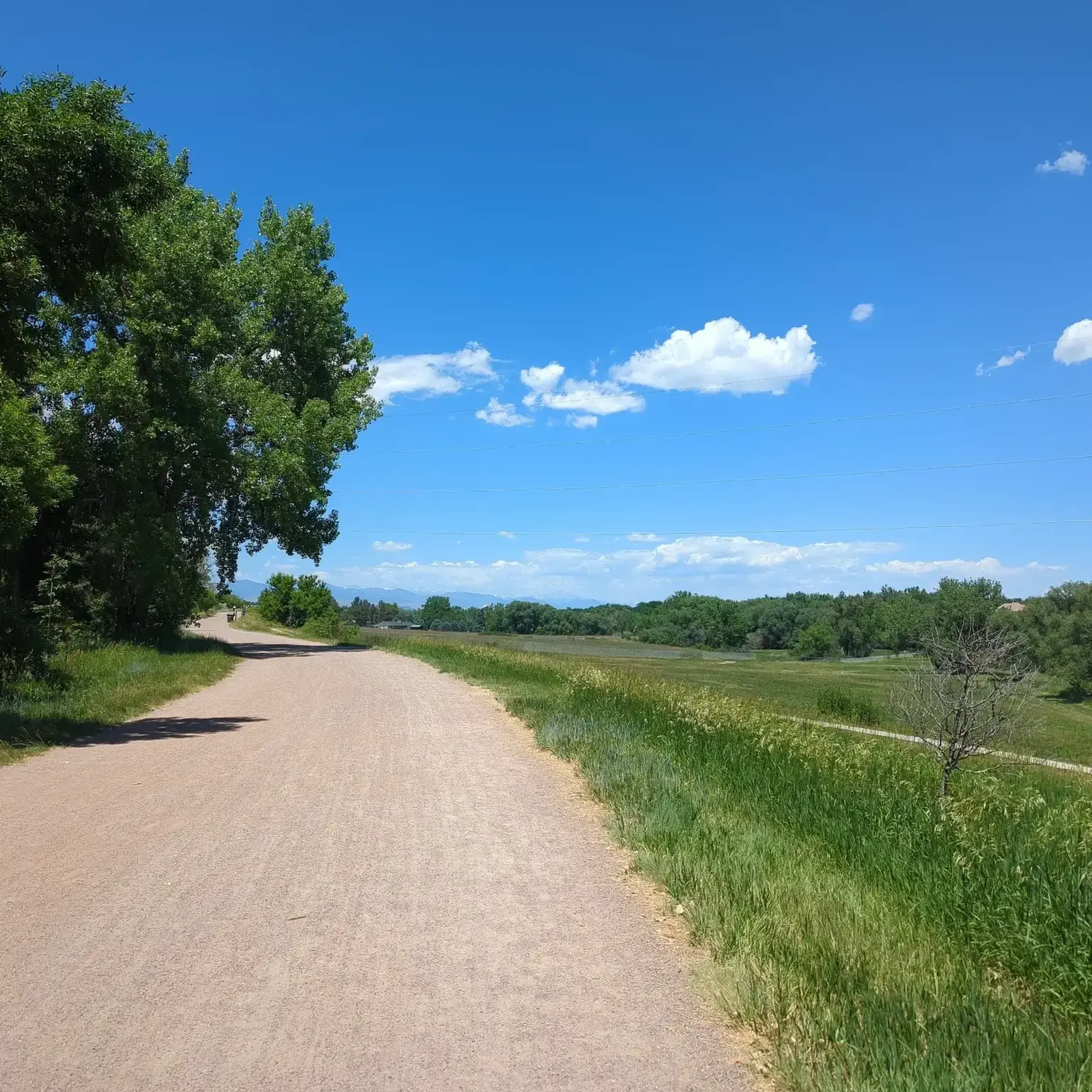
Gravel biking around Centennial

Gravel biking around Greenwood Village

Gravel biking around Four Square Mile

Gravel biking around Englewood

Gravel biking around Sheridan
Gravel biking in Cherry Creek State Park

Gravel biking around Cherry Creek

Gravel biking around Bow Mar
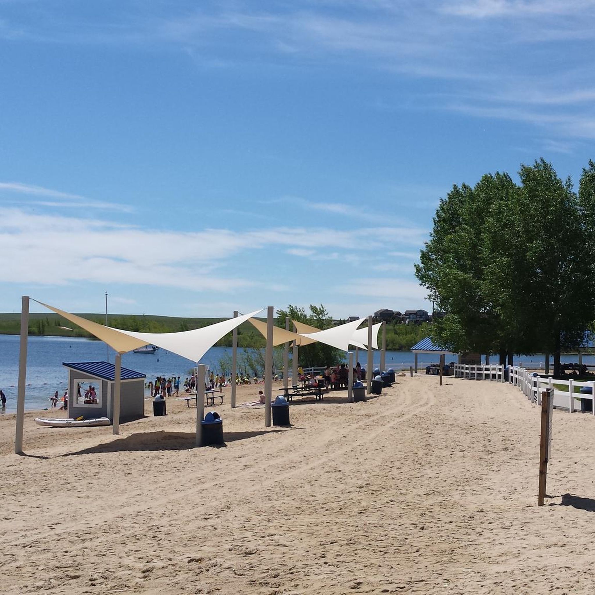
Gravel biking around Aurora
Tips from the Community

… this is just perfect for starting into the wild …
0
0

The "Waterton Canyon Recreation Area" trailhead sign here marks the Colorado Trail's Northern Terminus. It's a photo opportunity for thru-hikers continuing all the way south to Durango, a journey that stretches almost 500 miles.
0
0

This is a strategic point along the High Line Canal Trail with a view over Sumac Hill Farm. You can see the Big Dry Creek basin, the surrounding vegetation, and some of the birdlife that lives here.
0
0

A fun little bike park that features two lines. One with smaller jumps and one with bigger hits.
0
0
Explore the beauty of the Marjorie Perry Nature Preserve, with soft-surface trails winding through diverse habitats like grasslands, wetlands, and wooded areas. The preserve has views of the Rocky Mountains and opportunities for birdwatching and other wildlife viewing. To protect the ecosystem, visitors must stay on designated trails.
2
0

This is the trail head for segment 1 of the Colorado Trail. There is a vault toilet and parking at the trail head.
0
0

This 59-acre preserve located along the High Line Canal is a great place for bird and wildlife watching and a scenic setting to run in.
0
0

There are small wooden posts, like this one, along the High Line Canal Trail so you can track your milage. This spot mark the one mile point from the Goodson Center, the main access point and trailhead for the High Line Trail.
0
0
Frequently Asked Questions
How many gravel bike trails are available in Arapahoe County?
Arapahoe County offers a wide selection of gravel biking routes. There are over 30 gravel bike trails documented, catering to various skill levels from easy to difficult.
What kind of terrain can I expect on gravel bike trails in Arapahoe County?
Gravel biking in Arapahoe County features diverse landscapes, including urban open spaces, expansive plains, and river corridors. You'll encounter a mix of hard-packed gravel paths, natural surface trails, and sometimes singletrack or doubletrack sections, often with striking views of the Rocky Mountains.
What is the overall difficulty level of gravel biking in Arapahoe County?
The trails in Arapahoe County offer a range of difficulties. You'll find 12 easy routes, 15 moderate routes, and 7 more challenging options, ensuring there's something for every fitness level and riding skill.
What do other gravel bikers enjoy the most about gravel biking in Arapahoe County?
The gravel biking experience in Arapahoe County is highly rated by the komoot community, with an average score of 4.8 stars from over 30 reviews. Riders frequently praise the diverse prairie environments, scenic views of the Rocky Mountains, and the well-maintained river corridors.
Are there any family-friendly gravel bike trails in Arapahoe County?
Yes, Arapahoe County has several family-friendly options, particularly those with gentle gradients and hard-packed surfaces. The Sumac Hill Farm viewpoint loop from South Broadway & West Fair Avenue is an easy 19.4-mile path known for its gentle gradients and open views, suitable for families.
Can I bring my dog on gravel bike trails in Arapahoe County?
Many multi-use trails in Arapahoe County are dog-friendly, provided dogs are kept on a leash. Cherry Creek State Park, for example, has extensive trails where leashed dogs are welcome. Always check specific trail regulations before heading out.
What scenic viewpoints or natural features can I see along the gravel bike trails?
Arapahoe County's gravel trails offer numerous scenic highlights. You can enjoy views of the South Platte Reservoir, ride along the South Platte River, or explore the natural beauty of the Marjorie Perry Nature Preserve. Many routes also provide stunning vistas of the Rocky Mountains and prairie landscapes.
Are there any circular gravel bike routes in Arapahoe County?
Yes, many gravel routes in Arapahoe County are designed as loops. A popular option is the Lake views – South Platte Reservoir loop from Littleton - Mineral, which is 32 miles long and offers beautiful reservoir views. Another great choice is the Blackmer Lake loop from Greenwood Village.
Where can I find parking for gravel bike trails in Arapahoe County?
Parking is generally available at various trailheads and access points throughout Arapahoe County. For trails within Cherry Creek State Park, there are designated parking areas. For routes like the High Line Canal Trail, you can often find parking near parks or open spaces it traverses. Specific parking information is usually detailed on individual route pages.
Are there any cafes or places to eat near the gravel bike trails?
Yes, depending on the trail's location, you can find amenities nearby. For instance, the Nixon's Coffee House is a highlight near some routes. Trails that pass through or near towns like Littleton or Centennial will offer more options for cafes, pubs, and restaurants.
What is the best time of year to go gravel biking in Arapahoe County?
Arapahoe County is generally excellent for gravel biking from spring through fall, when the weather is mild and trails are dry. While some trails may be accessible in winter, conditions can vary with snow and ice, so it's always best to check local weather and trail reports.
Can I access gravel bike trails in Arapahoe County using public transport?
Public transport access varies by trail. Some trailheads, especially those closer to urban centers like Littleton or Denver, may be accessible via RTD (Regional Transportation District) bus routes or light rail. It's advisable to check specific route details and RTD schedules for the most accurate information.
Are there any long-distance gravel routes for experienced riders?
For experienced riders looking for longer distances, routes like the View from Chatfield Dam – Wetlands View loop from Littleton Downtown offer over 39 miles (63 km) of riding. Another challenging option is the Sumac Hill Farm viewpoint – Mineral Avenue Trail loop from Orchard, which covers over 40 miles (65 km) with significant elevation gain.
Most popular routes in Arapahoe County
Most popular attractions in Arapahoe County

Get inspired with the komoot mobile app


Didn’t find what you were looking for?
Check out more Gravel rides throughout Arapahoe County below and find the perfect route in your destination.
Explore more
Browse the best Gravel rides in other regions.
