The best family-friendly hikes and walks in Whitfield County
4.5
(5)
42
hikers
5
hikes
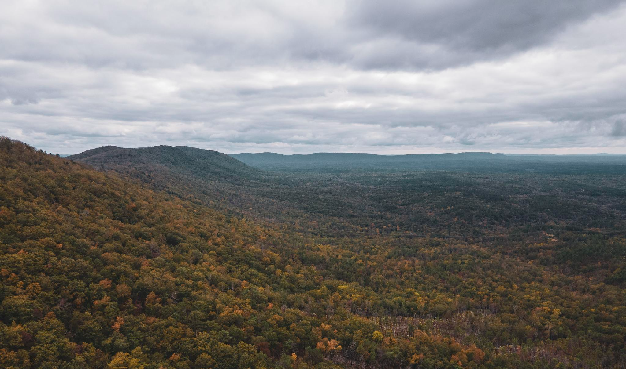
Family friendly hiking trails in Whitfield County, Georgia, traverse a landscape characterized by prominent ridges, rolling hills, and lush valleys. The region features diverse environments, including mature hardwood forests, serene waterways, and wetlands. Hikers can explore paths along Spring Creek and Mill Creek, or ascend gentle slopes offering panoramic views of the surrounding area.
Best family friendly hiking trails in Whitfield County
- The most popular family friendly hiking route is Haig Mill Lake Loop Trail, a 4.3 miles (6.9…
Last updated: September 27, 2026
5.0
(1)
13
hikers
6.91km
01:48
40m
60m
Embark on the Haig Mill Lake Loop Trail for an easy hike that offers serene views of the lake and its surrounding woodlands. This pleasant route spans 4.3 miles (6.9…
3.86km
01:09
190m
10m
The Pinhoti Trail: GA 136 to Mill Creek Mountain is a fantastic short hike that quickly immerses you in Georgia's lush native forests. As you ascend towards Mill Creek Mountain,…

3.95km
01:13
140m
130m
Hike the easy 2.5-mile Cascade Trail, gaining 476 feet in about 1 hour and 12 minutes, connecting to other routes in the Roadrunner Trail Sy
9.60km
02:45
240m
200m
The Pinhoti Trail: Pilchers Pond to Snake Creek Gap offers a scenic and engaging hike through Georgia's southern Appalachian landscape. You'll traverse a path of earth and stone, often blanketed…
5.0
(2)
3
hikers
5.08km
01:31
160m
160m
The Johns Mountain Loop Trail is a fantastic option for a scenic and manageable hike, offering a delightful mix of terrain and natural beauty. You'll traverse gradual climbs through stream…
Our route recommendations are based on thousands of hikes, rides, and runs completed by other people on komoot.
Start today with a free account
Your next adventure awaits.
Popular around Whitfield County
Other adventures in Whitfield County

Tips from the Community

Scan the QR code, install the app, open the locker, check the equipment, observe the life jacket requirement, and you're ready to go at the convenient boarding point on the pier.
1
0
Dalton's recreation center has everything you'd expect from a park: fenced-in (closes at 8 p.m.), park and playground, restrooms, picnic area, fishing piers, kayak rental machines, and plenty of signs with rules and prohibitions (like swimming). Nice circular path to the lake in the woods.
0
0
Dalton State College provides a diverse student population with opportunities to acquire the knowledge and skills necessary to attain affordable baccalaureate degrees, associate degrees and certificates and to reach their personal and professional goals. Through challenging academics and rich collegiate experiences, we promote lifelong learning, active leadership and positive contributions in Northwest Georgia and beyond. https://www.daltonstate.edu/
0
0
Nice trail through the forest. Information boards along the trail provide information about the trees in the forest.
2
0
A nice short trail through the woods, also a connection to the Gretchen & John Lucthart Ridge Trail. Unfortunately, you can hear the interstate intermittently. At the start, there's an information board about the Civil War events around Dalton.
3
0

Snake Creek Gap is where the Pinhoti Trail intersects the GA136 highway, just south of Baily Creek. Here, there are pit toilets and parking as well as posted trail info.
0
0

Riders will have to walk a few yards to the spot, but Johns Mountain Overlook provides a view more than worth a break in your cadence. Unobstructed views off the plateau range from the west to the northeast from this spot.
0
0
Keown Falls provides the uncommon opportunity to walk behind its falling water. The falls area and trail leading to it will definitely be slippery most times of year, so bring your grippiest boots and your hiking poles in order to best enjoy your time!
0
0
Frequently Asked Questions
How many family-friendly hiking trails are available in Whitfield County?
Whitfield County offers a selection of family-friendly hiking trails. This guide features 6 routes, with 5 of them rated as easy, making them suitable for various ages and skill levels.
Are there any easy, short hikes suitable for families with young children or toddlers?
Yes, several trails are ideal for families with young children. The Haig Mill Lake Loop Trail is an easy 6.9 km (4.3 miles) path around the lake, perfect for a leisurely stroll. The Pinhoti Trail: GA 136 to Mill Creek Mountain is another easy option at 3.8 km (2.4 miles). Additionally, the Norma Gordon Nature Loop and Eagle Walk at Mill Creek are known for being easy and scenic, winding through forests and along waterways.
What kind of natural landscapes can we expect to see on family hikes in Whitfield County?
Whitfield County's family-friendly trails showcase a diverse range of natural beauty. You'll find lush valleys, rolling hills, and mature hardwood forests, offering a true woodland escape. Many trails, like those in Spring Creek Wetlands Preserve and along Mill Creek, also feature serene waterways, providing opportunities to observe aquatic ecosystems and wildlife.
Are there any circular routes that are good for families?
Absolutely! Circular routes are great for families as they bring you back to your starting point. The Haig Mill Lake Loop Trail is a popular easy option that circles Haig Mill Lake. Another excellent choice is the Johns Mountain Loop Trail, which offers a 5 km (3.1 miles) easy hike through scenic terrain.
Can we spot any wildlife while hiking with family in Whitfield County?
Yes, Whitfield County is rich in wildlife. Trails winding through hardwood forests and along creeks, such as the Norma Gordon Nature Loop and those in Spring Creek Wetlands Preserve, offer excellent opportunities for wildlife watching. You might encounter various native plant and animal species, including wood ducks, reptiles, turtles, and small fish.
Are there any historical sites or interesting landmarks to explore along the family trails?
While the trails themselves focus on natural beauty, Whitfield County has a rich history. Dug Gap Battle Park offers trails that allow you to explore Civil War fortifications and enjoy outstanding views. For historical buildings, you can visit sites like the Historic Dalton Post Office or Trevitt Hall in Dalton, which are nearby attractions.
What do other hikers say about the family-friendly trails in Whitfield County?
The family-friendly trails in Whitfield County are highly regarded by the komoot community, with an average rating of 4.6 out of 5 stars. Hikers often praise the well-maintained paths, the peaceful woodland settings, and the scenic views, making them enjoyable for all ages.
Are there any trails with panoramic views suitable for families?
Yes, Rocky Face Ridge Park is a highlight for panoramic views. Its scenic hiking paths provide stunning vistas of the surrounding area, and on clear days, you can even see distant sights of Kennesaw Mountain, Fort Mountain, and Lookout Mountain. The Civitan Trail also offers short walks with great views of Rocky Face Ridge.
Are there any trails that feature water elements like creeks or wetlands?
Definitely. The Spring Creek Wetlands Preserve offers easy hiking trails that run along Spring Creek, providing views of the creek and its abundant plant and animal life. The Eagle Walk at Mill Creek also parallels a waterway, offering a scenic hike with small creek crossings and lush vegetation.
What is the best time of year to go hiking with family in Whitfield County?
Spring and fall are generally the most pleasant seasons for family hiking in Whitfield County, with mild temperatures and beautiful foliage. Spring brings blooming wildflowers, while fall offers vibrant autumn colors. Summer can be warm and humid, but shaded trails and early morning hikes are still enjoyable. Winter hikes are also possible, offering a different perspective of the landscapes.
Are there picnic areas or facilities available along the family-friendly trails?
Rocky Face Ridge Park is known for offering picnic areas, making it a great spot for a family outing. Haig Mill Lake Park also provides amenities like fishing piers and a boating dock, in addition to its walking trails, which can enhance a family's day out.
Most popular attractions in Whitfield County

Get inspired with the komoot mobile app


Explore more
Browse the best Hikes in other regions.
