The best road cycling routes in Whitfield County
111
riders
38
rides
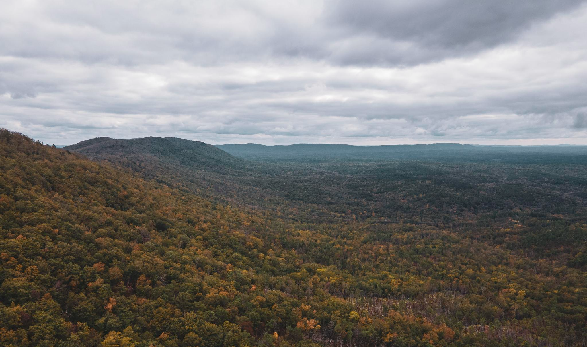
Road cycling routes in Whitfield County, Georgia, traverse a diverse landscape characterized by rural countryside and scenic byways. The region offers varied terrain, from flat sections suitable for leisurely rides to rolling hills with moderate elevation changes. Designated bicycle routes connect cities like Cohutta, Varnell, and Tunnel Hill, often utilizing well-paved surfaces.
Best road cycling routes in Whitfield County
- The most popular road cycling route is Leisure Lake loop from Varnell, a 15.9 miles (25.6 km) trail that takes…
Last updated: October 5, 2026
12
riders
81.0km
03:35
550m
550m
Moderate road ride. Good fitness required. Mostly well-paved surfaces and easy to ride.
7
riders
22.5km
01:04
110m
110m
Easy road ride. Great for any fitness level. Mostly well-paved surfaces and easy to ride.

8
riders
65.0km
03:07
310m
310m
Moderate road ride. Good fitness required. Mostly well-paved surfaces and easy to ride.
8
riders
88.1km
04:33
560m
560m
Moderate road ride. Good fitness required. Mostly well-paved surfaces and easy to ride.
7
riders
70.8km
03:25
420m
420m
Moderate road ride. Good fitness required. Mostly well-paved surfaces and easy to ride.
3
riders
56.6km
02:47
380m
380m
Moderate road ride. Good fitness required. Mostly well-paved surfaces and easy to ride.
5
riders
106km
05:17
710m
700m
Hard road ride. Very good fitness required. Mostly well-paved surfaces and easy to ride.
3
riders
27.1km
01:11
170m
170m
Easy road ride. Great for any fitness level. Mostly well-paved surfaces and easy to ride.
Get access to more routes and recommendations from other explorers.
Already have an account?
Our route recommendations are based on thousands of hikes, rides, and runs completed by other people on komoot.
Start today with a free account
Your next adventure awaits.






Other adventures in Whitfield County

Tips from the Community

Snake Creek Gap is where the Pinhoti Trail intersects the GA136 highway, just south of Baily Creek. Here, there are pit toilets and parking as well as posted trail info.
0
0
East Armuchee Road is a paved road that crosses the Pinhoti Trail. There's room for about two cars at the trailhead. The trailhead and East Armuchee Road are relatively quiet.
0
0
Frequently Asked Questions
How many road cycling routes are available in Whitfield County?
Whitfield County offers a comprehensive network of over 30 road cycling routes, catering to various skill levels. This includes a mix of easy, moderate, and challenging rides across the region's diverse landscape.
What kind of terrain can I expect on road cycling routes in Whitfield County?
Road cycling in Whitfield County features a diverse landscape, from flat sections ideal for leisurely rides to rolling hills with moderate elevation changes. Many routes utilize well-paved surfaces and traverse picturesque rural countryside and scenic byways, such as sections of the Cohutta-Chattahoochee Scenic By-way.
Are there road cycling routes suitable for beginners in Whitfield County?
Yes, Whitfield County has several easy road cycling routes perfect for beginners. For example, the Leisure Lake loop from Cohutta is a 14-mile trail through scenic countryside, and the Leisure Lake loop from Leisure Lake Dam offers a shorter, easy ride of about 9 miles.
What are some challenging road cycling routes for experienced riders in Whitfield County?
Experienced riders looking for a challenge can explore routes with significant elevation gain. The Snake Creek Gap – East Armuchee Road loop from Strain Family Cemetery is a moderate 50-mile path featuring varied terrain and substantial climbing. For a difficult, longer ride, consider the Leisure Lake – Hunt Lake loop from Cohutta, which spans over 60 miles with considerable elevation.
Are there any scenic byways or particularly picturesque routes for road cycling?
Absolutely. Many routes in Whitfield County traverse picturesque rural areas and sections of the Cohutta-Chattahoochee Scenic By-way. Crow Valley Road is also noted for its scenic beauty. These routes often connect charming cities like Cohutta, Varnell, and Tunnel Hill, offering beautiful views of the North Georgia landscape.
What natural features or landmarks can I see along road cycling routes in Whitfield County?
While cycling, you might pass by areas like Dalton State University or historical sites such as the Historic Dalton Post Office. The region also features natural attractions like Rocky Face Ridge, offering stunning views, and Haig Mill Lake Park, which has a multi-use trail and lake access.
Where can I find parking for road cycling routes in Whitfield County?
Parking is generally available at various access points for the designated bicycle routes. Parks like Haig Mill Lake Park offer facilities that can serve as starting points. For specific routes, checking the route details on komoot will often provide information on suitable parking locations.
What is the best time of year for road cycling in Whitfield County?
The spring and fall seasons generally offer the most pleasant conditions for road cycling in Whitfield County, with mild temperatures and beautiful scenery. Summer can be warm and humid, while winter can bring colder temperatures, though cycling is possible year-round depending on personal preference and weather conditions.
Are there any multi-use trails suitable for road bikes in Whitfield County?
Yes, beyond dedicated road cycling routes, parks like Haig Mill Lake Park offer paved and unpaved multi-use trails that can be suitable for road bikes, especially for more relaxed rides. These trails provide a different cycling experience, often with scenic views and recreational amenities.
Are there any loop routes available for road cyclists in Whitfield County?
Many of the road cycling routes in Whitfield County are designed as loops, providing convenient starting and ending points. Examples include the Leisure Lake loop from Varnell and the Blue Hole Pond loop from Luigis Pizza, allowing cyclists to explore without retracing their path.
What do other cyclists say about road cycling in Whitfield County?
The road cycling routes in Whitfield County are highly rated by the komoot community, with an average score of 4.0 stars. Over 111 road cyclists have used komoot to explore the varied terrain, often praising the well-paved surfaces and the scenic rural landscapes that define the area's cycling experience.
Are there any specific road conditions or traffic considerations for cyclists?
Whitfield County's road cycling routes often utilize rural roads, which typically have lower traffic volumes. Some areas, like a portion of Waring Road in Dalton, feature dedicated bike lanes. Cyclists should always be mindful of road conditions and traffic, especially when transitioning between rural roads and more populated areas.
Most popular attractions in Whitfield County

Get inspired with the komoot mobile app


Didn’t find what you were looking for?
Check out more Road cycling routes throughout Whitfield County below and find the perfect route in your destination.
Explore more
Browse the best Road cycling routes in other regions.
