The best traffic-free bike rides in Summit County
4.7
(17)
1,837
riders
13
rides
Road cycling in Summit County features a diverse landscape characterized by mountainous terrain with significant elevation changes. The region offers a network of paved paths that wind through valleys and ascend towards higher viewpoints. Cyclists can expect varied scenery, from forested sections to open mountain vistas, providing a range of experiences for different skill levels.
Best no traffic road cycling routes in Summit County
- The most popular no traffic road cycling route is Park City – City Park loop from…
Last updated: September 27, 2026
74
riders
45.1km
02:47
1,180m
1,180m
Hard road ride. Very good fitness required. Mostly well-paved surfaces and easy to ride.
64
riders
33.6km
01:50
600m
600m
Moderate road ride. Good fitness required. Mostly well-paved surfaces and easy to ride.

27
riders
26.7km
01:44
750m
750m
Moderate road ride. Good fitness required. Mostly well-paved surfaces and easy to ride.
13
riders
12.3km
00:34
110m
110m
Easy road ride. Great for any fitness level. Mostly well-paved surfaces and easy to ride.
8
riders
101km
06:30
3,010m
3,010m
Hard road ride. Very good fitness required. Mostly well-paved surfaces and easy to ride.
Get access to more routes and recommendations from other explorers.
Already have an account?
Our route recommendations are based on thousands of hikes, rides, and runs completed by other people on komoot.
Start today with a free account
Your next adventure awaits.





Tips from the Community

Unfortunately out of order. It leads up to Treasure Mountain.
0
0
Nice small town with many shops, it also looks almost like you know it from the movies.
0
0

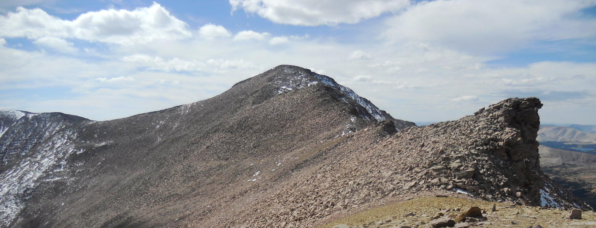
This is the highest point of the Alpine Scenic Highway—meaning if you’ve made it here, it’s time to enjoy the downhill ahead. Nearby, you’ll find access to several trails, including Willow Hollow Trail, Horse Flat Trail, Ridge Trail, and Lame Hollow Trail.
0
0
Guardsman Pass is a tough but unforgettable climb—steep grades, tight switchbacks, and big elevation gain. The views from the top, at nearly 9,700 feet, are worth every pedal stroke. Expect light traffic on weekdays and smooth pavement for a fast, fun descent.
0
0

City Park is beautiful, with ample green space, art displays, and breathtaking views. The park includes several large lawns that are ideal for a lovely picnic. There are also ball fields, basketball and volleyball courts, and restrooms, making it an excellent afternoon spot on a sunny day.
0
0

The Union Pacific Rail Trail is an almost 27-mile trail that runs from Park City to Echo. While it is a popular spot for hiking and biking, but there is a good chance you will have the trail to yourself. The trail is mostly gravel, but this section in Park City is paved.
1
0

Climbing Empire Pass westwards from Midway on the Guardsman Pass Scenic Backway offers a challenging but scenic ascent into Utah's Wasatch Mountains. Prepare for approximately 11-12 miles of sustained climbing, gaining over 3,000ft to reach the 8,740ft summit. The main climb averages around 5-6%, but features steeper sections, particularly on the initial winding climb out of Midway and in the final push towards the pass, where gradients can reach 8-10%. Along the way you'll enjoy the transition from aspen forests to stunning alpine meadows as you approach the top.
0
0
Frequently Asked Questions
How many no-traffic road cycling routes are available in Summit County?
There are 13 dedicated no-traffic road cycling routes in Summit County featured in this guide. These routes cater to various skill levels, with 4 easy, 6 moderate, and 3 difficult options to explore.
What kind of terrain can I expect on no-traffic road cycling routes in Summit County?
Summit County's no-traffic road cycling routes primarily follow the extensive paved recreational pathway system, offering smooth surfaces. You'll experience varied terrain, from gentle lakeside loops around Dillon Reservoir to challenging climbs over mountain passes, all set against the stunning backdrop of the Rocky Mountains.
Are there any easy, family-friendly no-traffic road cycling routes?
Yes, Summit County offers several easy, no-traffic routes perfect for families. The City Park – Town Lift loop from Deer Valley Resort is a moderate option that can be adapted for a family outing, providing scenic views without heavy traffic. The region's Rec Path system is generally well-suited for all ages.
Where can I find parking for no-traffic road cycling routes in Summit County?
Parking is generally available near trailheads and in the charming mountain towns of Summit County, such as Breckenridge, Frisco, Dillon, and Silverthorne. Many sections of the Summit County Recreational Pathway (Rec Path) have designated parking areas, making it convenient to access the car-free routes.
What are some scenic viewpoints or attractions along these no-traffic cycling routes?
Many routes offer breathtaking views of the Rocky Mountains and Dillon Reservoir. You can cycle past highlights like Park City Downtown, or enjoy the serene beauty of Shadow Lake and Lily Lake. The Union Pacific Rail Trail also offers scenic stretches.
What is the best time of year for no-traffic road cycling in Summit County?
The best time for no-traffic road cycling in Summit County is typically from late spring through early fall (May to October). During these months, the paved recreational pathways are clear of snow, and the weather is generally pleasant for cycling. Always check local conditions, especially at higher elevations, as snow can linger into early summer.
Are there any challenging no-traffic road cycling routes for experienced riders?
Absolutely. For experienced riders seeking a challenge, routes like the Park City – City Park loop from Park Ave & Meadows Drive offer significant elevation gain and distance on car-free paths. While many of the dedicated no-traffic paths are moderate, their length and elevation changes can provide a good workout.
Can I find circular no-traffic road cycling routes in Summit County?
Yes, Summit County features several excellent circular no-traffic road cycling routes. The Dillon Reservoir Recpath Loop is a prime example, offering a scenic circuit around Lake Dillon. Many of the routes listed in this guide, such as the Empire Pass Viewpoint – Park City Downtown loop from Deer Valley, are designed as loops, allowing you to start and end in the same location.
What do other road cyclists enjoy most about no-traffic road cycling in Summit County?
The area is highly rated by the komoot community, with an average score of 4.5 stars. Reviewers often praise the stunning Rocky Mountain scenery, the extensive and well-maintained paved pathway system that ensures a car-free experience, and the variety of routes suitable for all fitness levels.
Are there opportunities to connect to public transport near these no-traffic routes?
Summit County offers a free public transportation system, the Summit Stage, which connects the main towns and resorts. While not all buses are equipped with bike racks, many are, especially during the summer months. This can be a convenient way to access different sections of the Rec Path or return to your starting point after a one-way ride. Check the Summit Stage schedule and bike policies for specific routes.
Are there cafes or places to stop for refreshments along the no-traffic bike trails?
Yes, the no-traffic bike trails often pass through or near Summit County's charming towns like Breckenridge, Frisco, Dillon, and Silverthorne. These towns offer numerous cafes, restaurants, and shops where you can stop for refreshments, a meal, or to pick up supplies. The Rec Path system is designed to connect these communities, making stops convenient.
Most popular routes in Summit County
Most popular attractions in Summit County

Get inspired with the komoot mobile app


Didn’t find what you were looking for?
Check out more Road cycling routes throughout Summit County below and find the perfect route in your destination.
Explore more
Browse the best Road cycling routes in other regions.
