The best road cycling routes in Summit County
4.7
(17)
1,836
riders
64
rides
Road cycling in Summit County features an extensive network of paved paths winding through the Rocky Mountains. The region is characterized by high-altitude terrain, including numerous mountain passes and scenic routes around large reservoirs like Dillon Reservoir. Cyclists encounter varied landscapes, from dense forests and picturesque meadows to open areas with panoramic vistas of the Continental Divide. This diverse geography provides a range of road cycling experiences, from challenging climbs to more moderate, scenic rides.
Best road cycling routes in…
Last updated: September 27, 2026
2.0
(1)
98
riders
56.7km
02:35
630m
630m
Moderate road ride. Good fitness required. Mostly well-paved surfaces and easy to ride.
5.0
(3)
144
riders
Moderate road ride. Good fitness required. Mostly well-paved surfaces and easy to ride.

74
riders
45.1km
02:47
1,180m
1,180m
Hard road ride. Very good fitness required. Mostly well-paved surfaces and easy to ride.
61
riders
129km
07:08
2,700m
2,700m
Hard road ride. Very good fitness required. Mostly well-paved surfaces and easy to ride.
59
riders
40.2km
01:54
420m
420m
Moderate road ride. Good fitness required. Mostly well-paved surfaces and easy to ride.
5.0
(4)
137
riders
49.5km
02:28
720m
720m
Moderate road ride. Good fitness required. Mostly well-paved surfaces and easy to ride.
64
riders
33.6km
01:50
600m
600m
Moderate road ride. Good fitness required. Mostly well-paved surfaces and easy to ride.
50
riders
42.9km
02:31
890m
890m
Moderate road ride. Good fitness required. Mostly well-paved surfaces and easy to ride.
40
riders
43.5km
02:31
780m
780m
Moderate road ride. Good fitness required. Some segments of this route may be unpaved and difficult to ride.
27
riders
100km
05:20
1,760m
1,760m
Hard road ride. Very good fitness required. Mostly well-paved surfaces and easy to ride.
Get access to more routes and recommendations from other explorers.
Already have an account?
Our route recommendations are based on thousands of hikes, rides, and runs completed by other people on komoot.
Start today with a free account
Your next adventure awaits.
Popular around Summit County
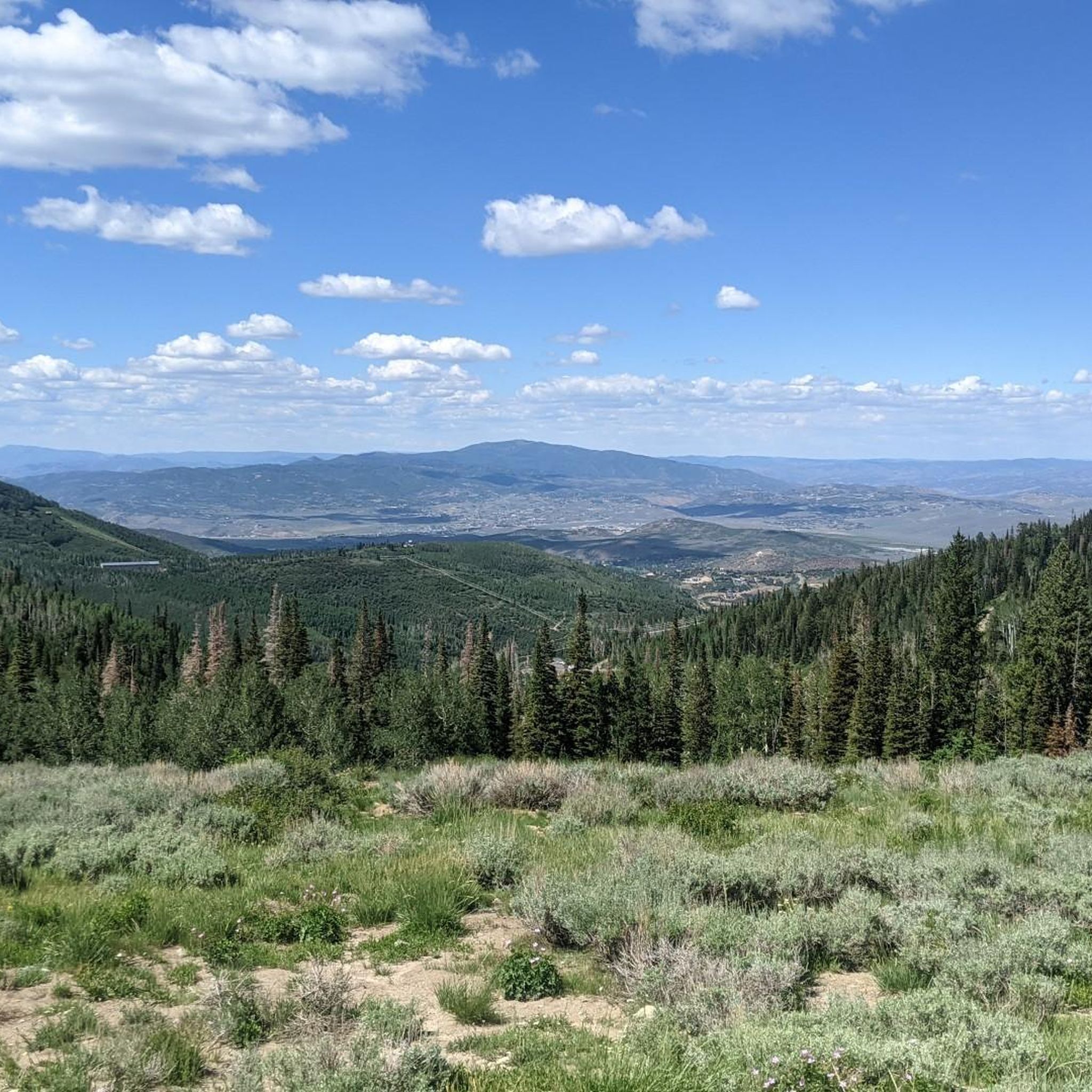
Road Cycling Routes around Park City
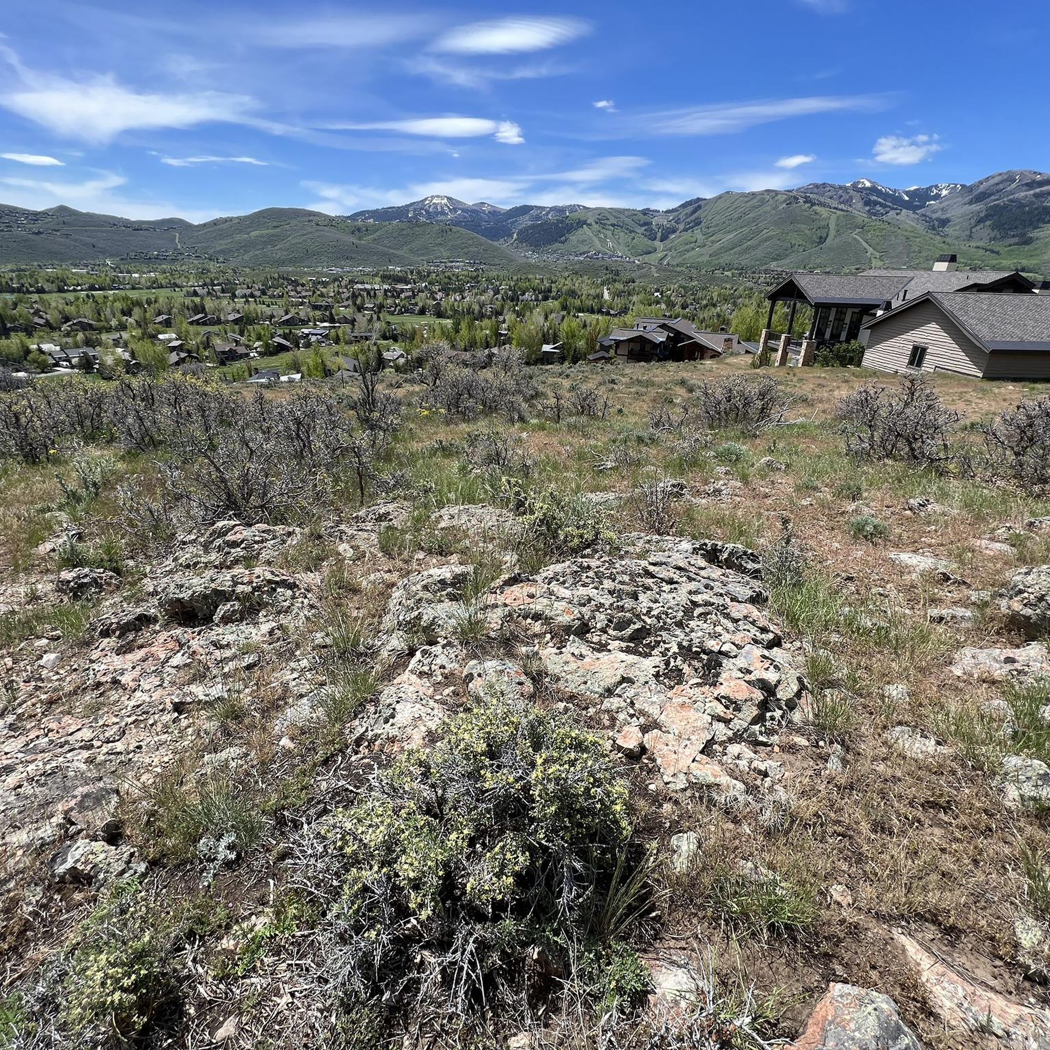
Road Cycling Routes around East Basin
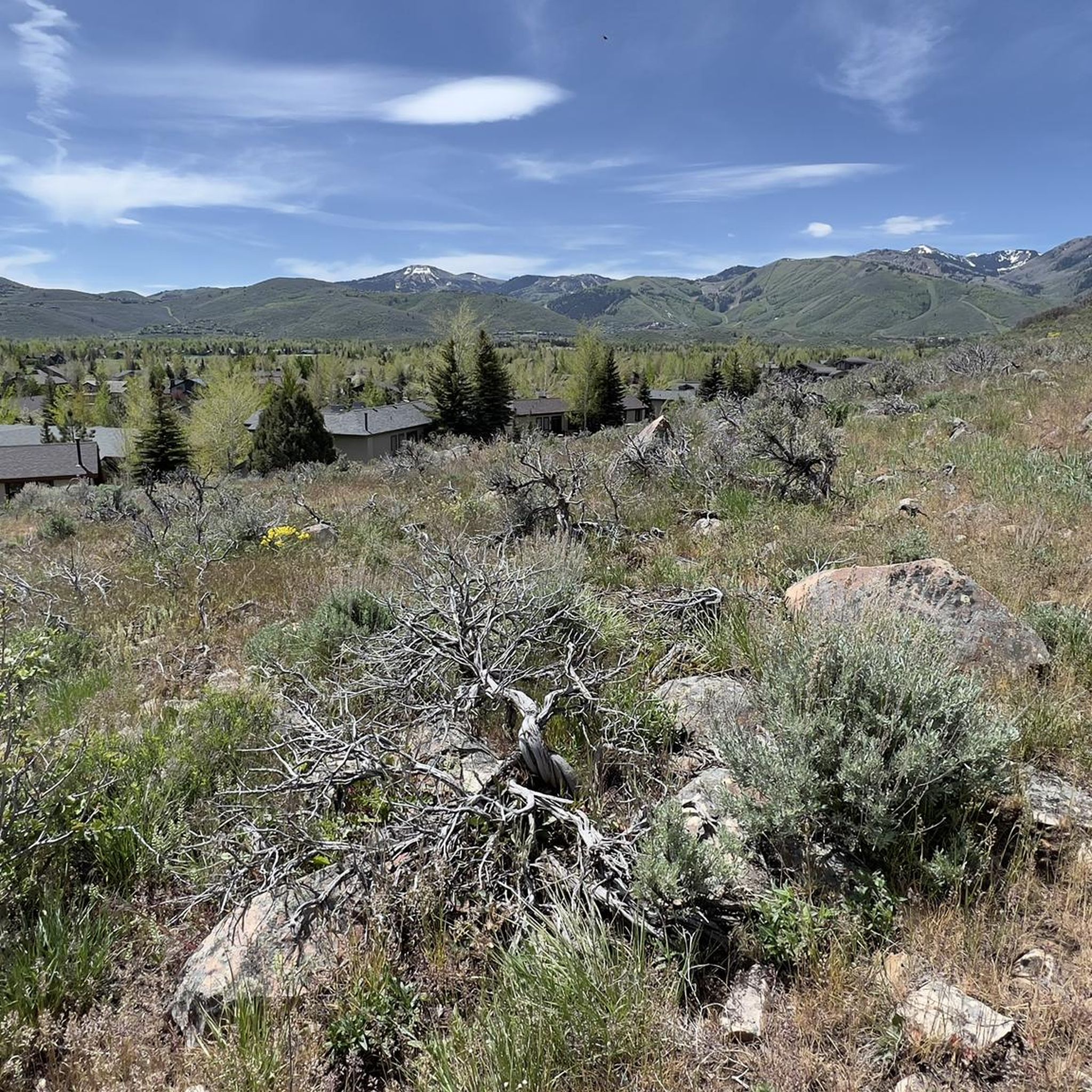
Road Cycling Routes around Silver Summit
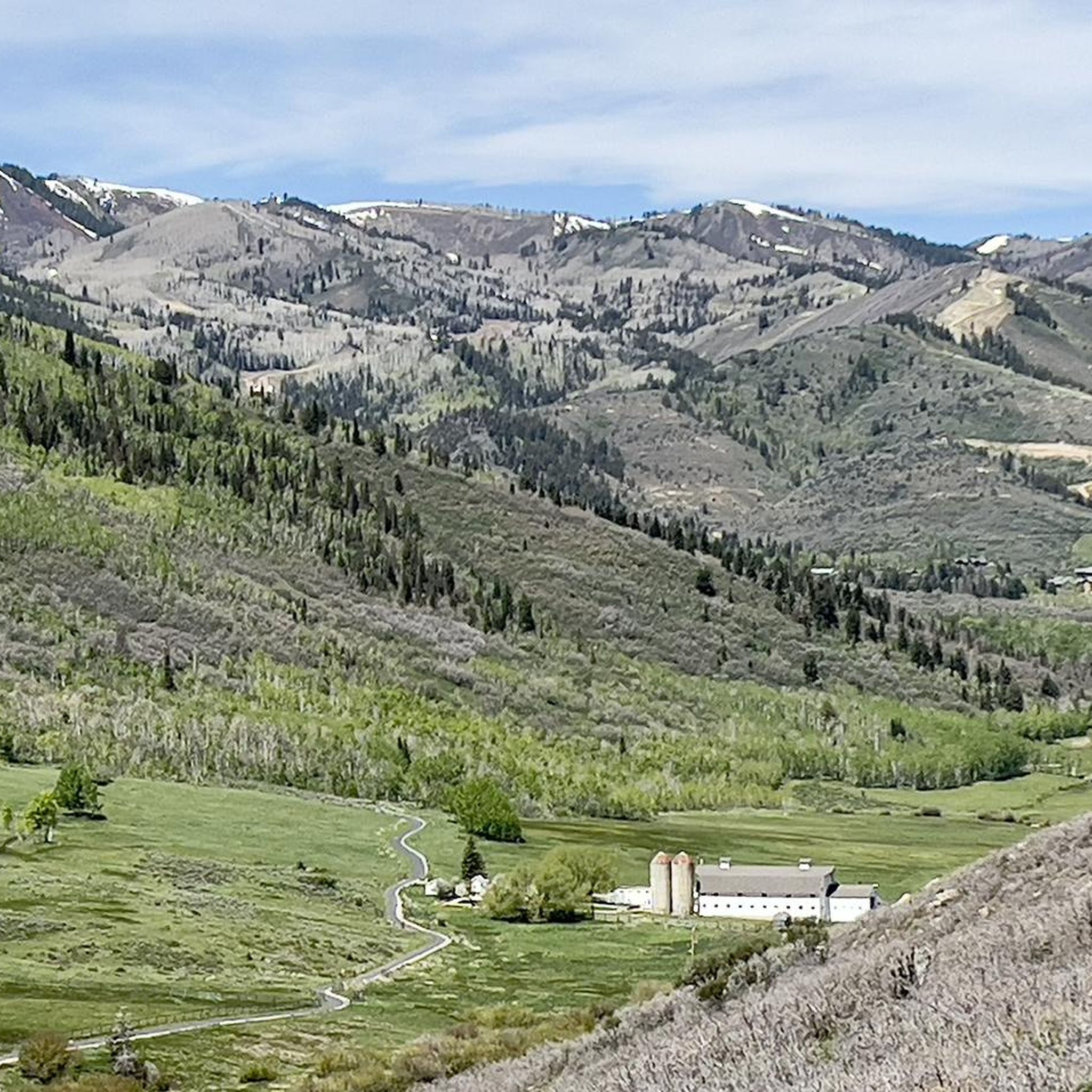
Road Cycling Routes around Snyderville
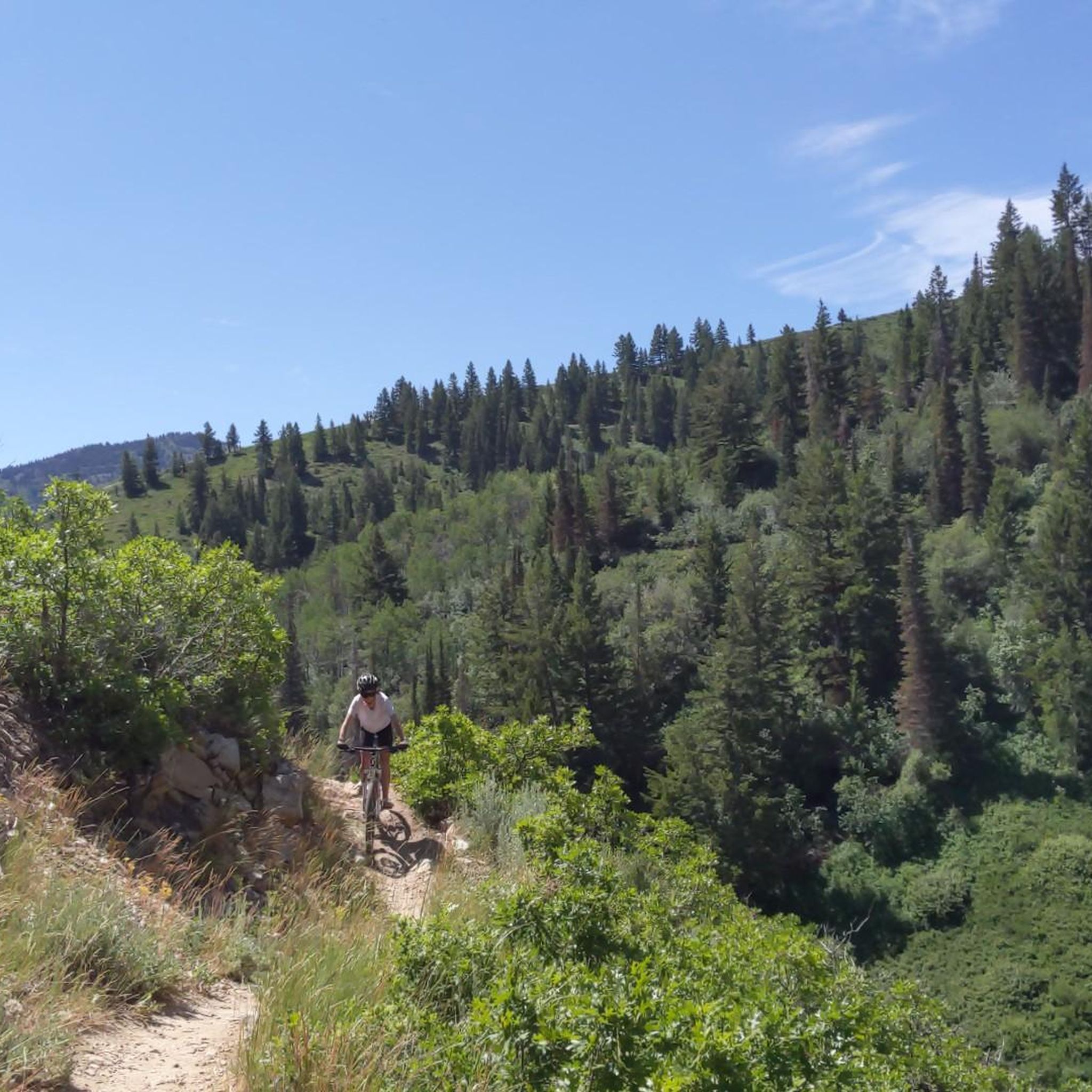
Road Cycling Routes around Summit Park

Road Cycling Routes around Samak
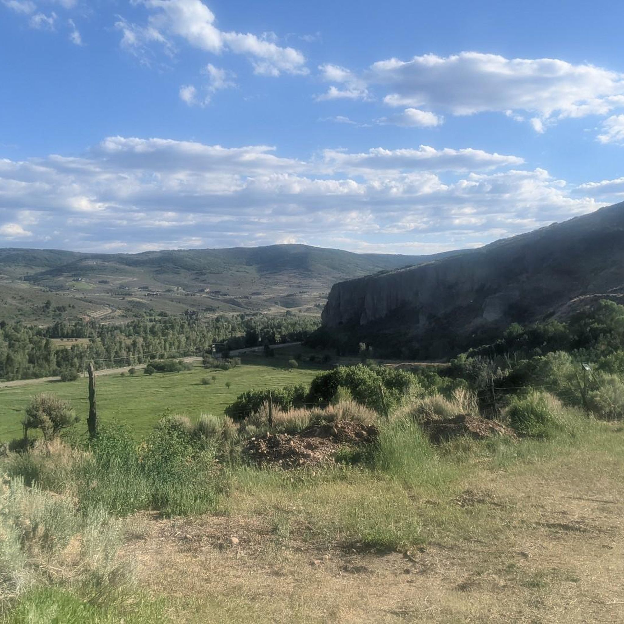
Road Cycling Routes around Kamas

Road Cycling Routes around Woodland
Road Cycling Routes around Francis

Road Cycling Routes around Peoa


Tips from the Community

Unfortunately out of order. It leads up to Treasure Mountain.
0
0
Nice small town with many shops, it also looks almost like you know it from the movies.
0
0


Guardsman Pass is a tough but unforgettable climb—steep grades, tight switchbacks, and big elevation gain. The views from the top, at nearly 9,700 feet, are worth every pedal stroke. Expect light traffic on weekdays and smooth pavement for a fast, fun descent.
0
0

City Park is beautiful, with ample green space, art displays, and breathtaking views. The park includes several large lawns that are ideal for a lovely picnic. There are also ball fields, basketball and volleyball courts, and restrooms, making it an excellent afternoon spot on a sunny day.
0
0

The Kamas area was first inhabited by Native Americans, including the Ute, Shoshone, and Snake tribes. In 1857, it was settled by Mormon pioneers, including Thomas Rhodes. Now, it is a great stop on the way to adventures in the Uinta Mountains. There are shops and restaurants to grab any supplies you need for your ride.
0
0
The Union Pacific Rail Trail is an almost 27-mile trail that runs from Park City to Echo. While it is a popular spot for hiking and biking, but there is a good chance you will have the trail to yourself. The trail is mostly gravel, but this section in Park City is paved.
1
0
Great view of Jordanelle Reservoir. The reservoir, created when the Provo River was dammed, is a popular spot for fishermen, boaters, and people enjoying the peaceful setting.
0
0
Frequently Asked Questions
How many road cycling routes are available in Summit County?
Summit County offers a wide variety of road cycling experiences, with over 50 routes documented on komoot. These range from leisurely rides to challenging mountain pass ascents, catering to all skill levels.
Are there road cycling routes suitable for families or beginners in Summit County?
Yes, Summit County is very family-friendly. The extensive Union Pacific Rail Trail is an excellent option, offering a consistent, paved surface. Routes like the Park City to Kamas via Union Pacific Rail Trail are moderate and provide a great introduction to the area's scenic beauty without extreme elevation.
What are some challenging road cycling routes for experienced riders in Summit County?
For experienced cyclists seeking a challenge, Summit County offers routes with significant elevation gains over its famous mountain passes. The Swaner Nature Preserve – Little Mountain Summit loop from Deer Valley is a difficult 68-mile route with over 7,200 feet of climbing. The region is also known for iconic climbs like Vail Pass and Loveland Pass, which provide strenuous ascents and panoramic views.
What kind of landmarks or scenic viewpoints can I expect to see along the road cycling routes?
Road cycling routes in Summit County offer breathtaking views of the Rocky Mountains, including high-altitude tundra and rocky peaks. You'll also encounter the scenic Dillon Reservoir and ride through dense forests and picturesque meadows. Many routes connect charming mountain towns like Breckenridge and Frisco, and you can explore highlights such as Park City Downtown or the Union Pacific Rail Trail.
What is the best time of year for road biking in Summit County?
The best time for road biking in Summit County is typically from late spring through early fall (May to October), when mountain passes are clear of snow and the weather is generally favorable. Cyclists should be prepared for high-altitude conditions, which can make rides more challenging.
Are there any circular road cycling routes in Summit County?
Yes, Summit County features several excellent circular routes. A popular option is the Silver Quinn Trail – Union Pacific Rail Trail loop from Awards bus stop, which provides a moderate ride with diverse scenery. The region is also famous for the 'Copper Triangle,' a classic 79-mile loop that includes three mountain passes, offering an epic circular challenge.
What do other road cyclists enjoy most about road cycling in Summit County?
The area is highly rated by the komoot community, with an average score of 4.4 stars. Reviewers often praise the extensive network of well-maintained paved trails, the stunning Rocky Mountain scenery, and the diverse range of routes that cater to all ability levels, from scenic lake loops to challenging mountain pass climbs.
How long are the typical road cycling routes in Summit County?
Route lengths vary significantly in Summit County. You can find shorter rides, such as sections of the Recpath, or embark on longer journeys. For example, the Park City to Kamas via Union Pacific Rail Trail is about 35 miles, while the Swaner Nature Preserve – Little Mountain Summit loop from Deer Valley extends to over 68 miles, often taking around 6 hours to complete.
Are there options for public transport or parking near road cycling trailheads?
Summit County's extensive Recreational Pathway System (Recpath) connects its various towns, making it possible to ride between communities. While specific public transport options for cyclists should be checked locally, many towns like Frisco and Breckenridge offer bike-friendly amenities, and parking is generally available near popular trailheads and town centers.
Can I find cafes or accommodation near the road cycling routes in Summit County?
Yes, the road cycling routes often connect or pass through charming mountain towns such as Breckenridge, Frisco, Silverthorne, Dillon, and Keystone. These towns offer a variety of cafes, restaurants, and accommodation options, making it easy to refuel or stay overnight near your chosen routes.
What are some of the most iconic mountain passes for road cycling in Summit County?
Summit County is renowned for its challenging and scenic mountain passes. Key passes include Vail Pass, known for its thrilling climb and descent; Loveland Pass, offering rewarding switchbacks and panoramic views at nearly 12,000 feet; and Fremont Pass, another high-altitude challenge with views of the Continental Divide. Boreas Pass and Hoosier Pass also provide significant elevation gains and stunning scenery.
Most popular routes in Summit County
Most popular attractions in Summit County

Get inspired with the komoot mobile app


Didn’t find what you were looking for?
Check out more Road cycling routes throughout Summit County below and find the perfect route in your destination.
Explore more
Browse the best Road cycling routes in other regions.
