The best traffic-free bike rides in Contra Costa County
4.6
(346)
10,090
riders
50
rides
No traffic road cycling routes in Contra Costa County traverse a diverse landscape, characterized by prominent peaks, rolling hills, and expansive valleys. The region features Mount Diablo, a significant natural monument offering challenging ascents and panoramic views. Inland valleys provide flatter terrain, while the Oakland-Berkeley Hills contribute varied gradients. Waterways like the Carquinez Strait offer scenic backdrops for rides.
Best no traffic road cycling routes in Contra Costa County
- The most popular no traffic road cycling route is Mount Diablo…
Last updated: July 7, 2026
5.0
(9)
271
riders
48.5km
02:57
1,140m
1,140m
Mount Diablo via Summit Road offers a challenging and rewarding road cycling experience, taking you through diverse habitats to a peak with truly spectacular views. The route is primarily paved,…
4.5
(2)
19
riders
25.9km
01:19
130m
130m
Embark on an easy road cycling journey along the Iron Horse and Contra Costa Canal Trail Loop, a 16.1 miles (25.9 km) route that takes about 1 hours and 19…

Sign up for free
4.8
(4)
575
riders
59.9km
03:22
1,200m
1,200m
Hard road ride. Very good fitness required. Mostly well-paved surfaces and easy to ride.
4.7
(3)
458
riders
49.5km
02:58
1,160m
1,160m
Hard road ride. Very good fitness required. Mostly well-paved surfaces and easy to ride.
285
riders
63.8km
03:31
1,220m
1,220m
Hard road ride. Very good fitness required. Mostly well-paved surfaces and easy to ride.
Get access to more routes and recommendations from other explorers.
Sign up for free
Already have an account?
Our route recommendations are based on thousands of hikes, rides, and runs completed by other people on komoot.
Start today with a free account
Your next adventure awaits.
Login or Signup
Popular around Contra Costa County
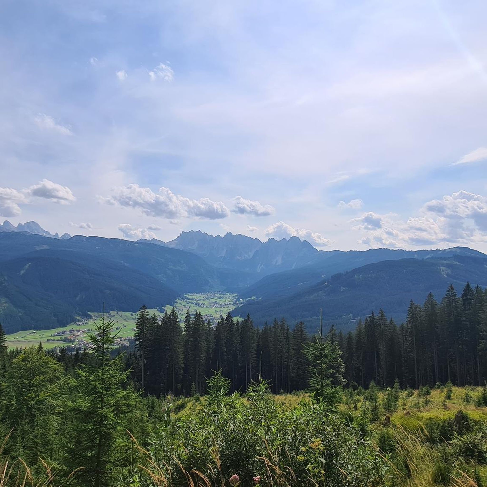
Traffic-free bike rides in Las Trampas Regional Wilderness

Traffic-free bike rides in Diablo Foothills Regional Park
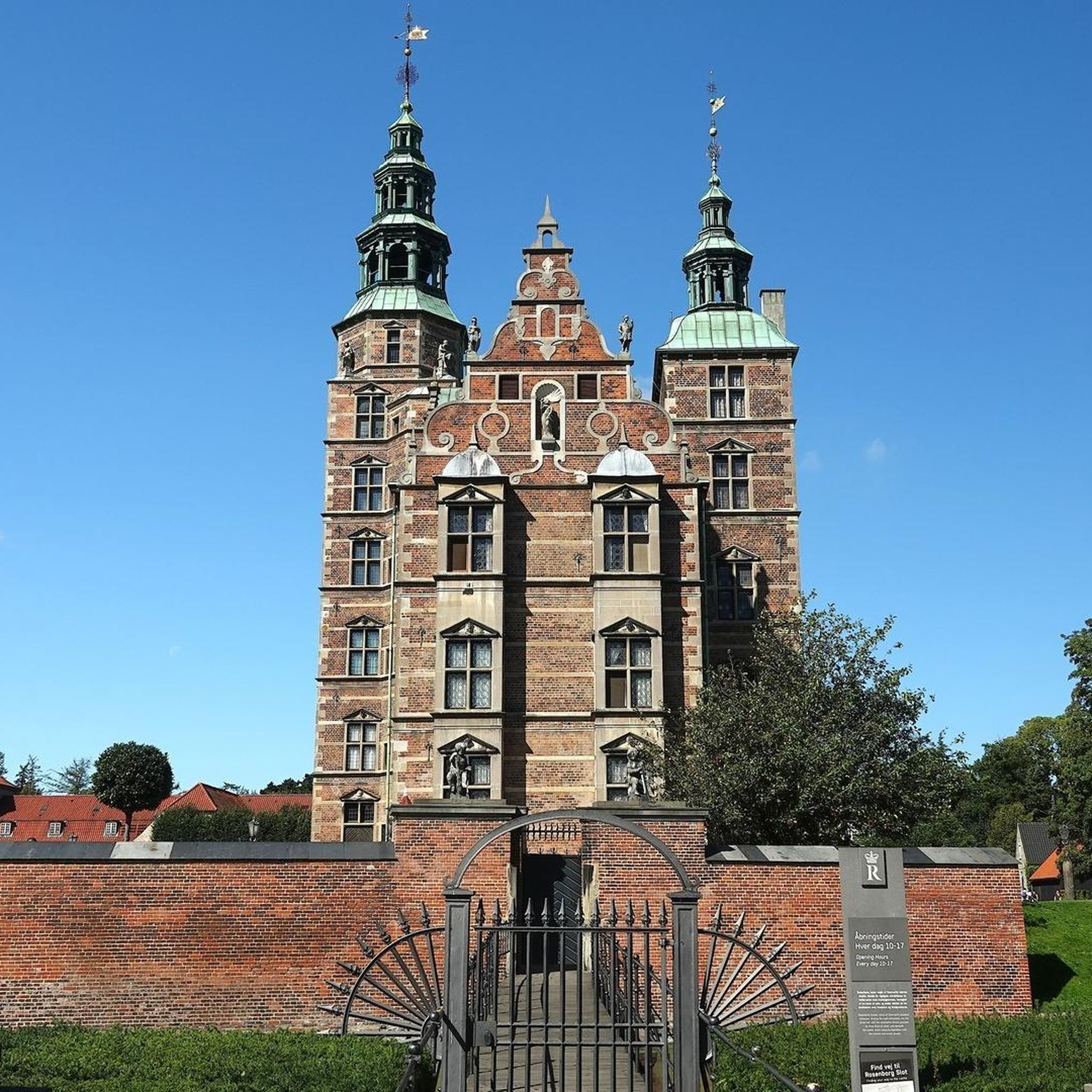
Traffic-free bike rides in Mount Diablo State Park

Traffic-free bike rides in Tilden Regional Park
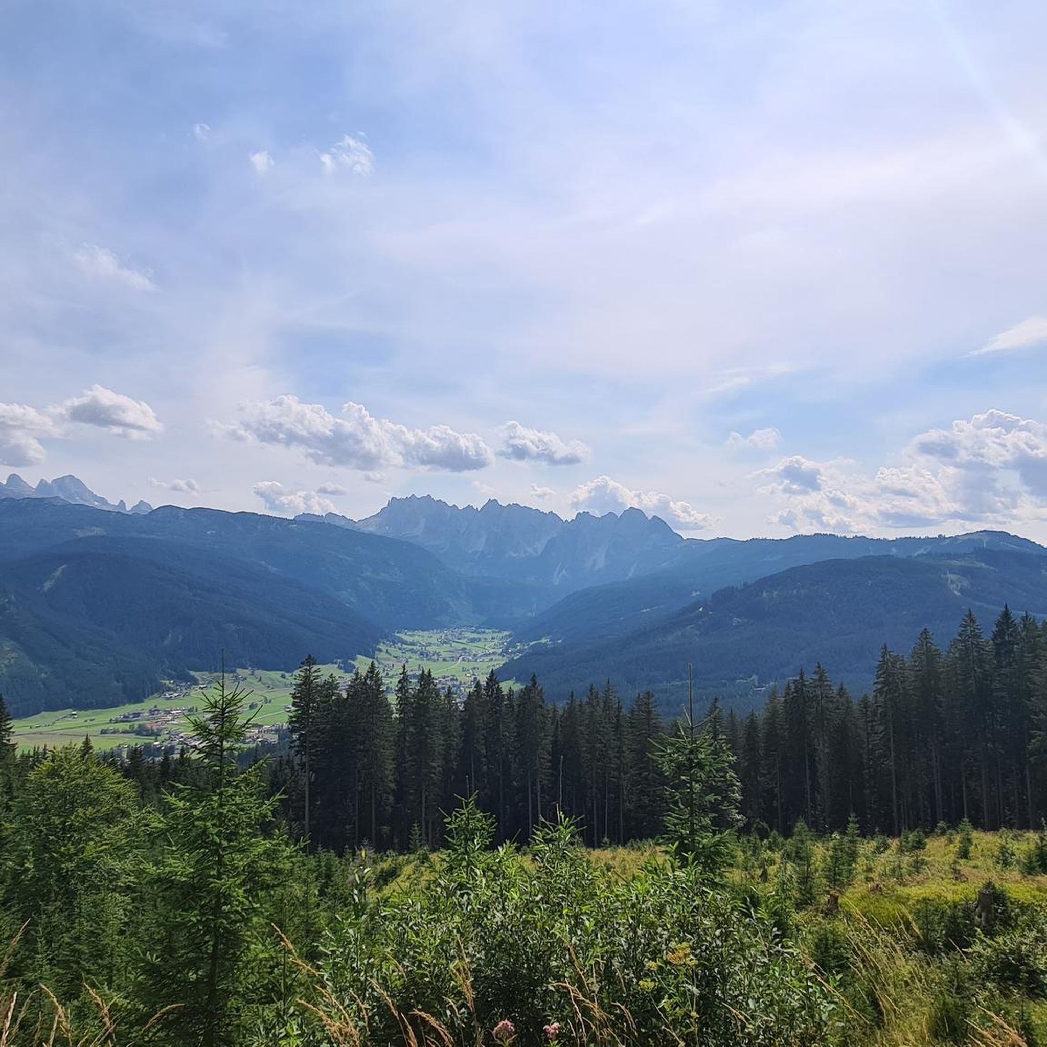
Traffic-free bike rides in Briones Regional Park

Traffic-free bike rides in Bishop Ranch Regional Open Space Preserve

Traffic-free bike rides in Kennedy Grove Regional Recreation Area

Traffic-free bike rides in Wildcat Canyon Regional Park
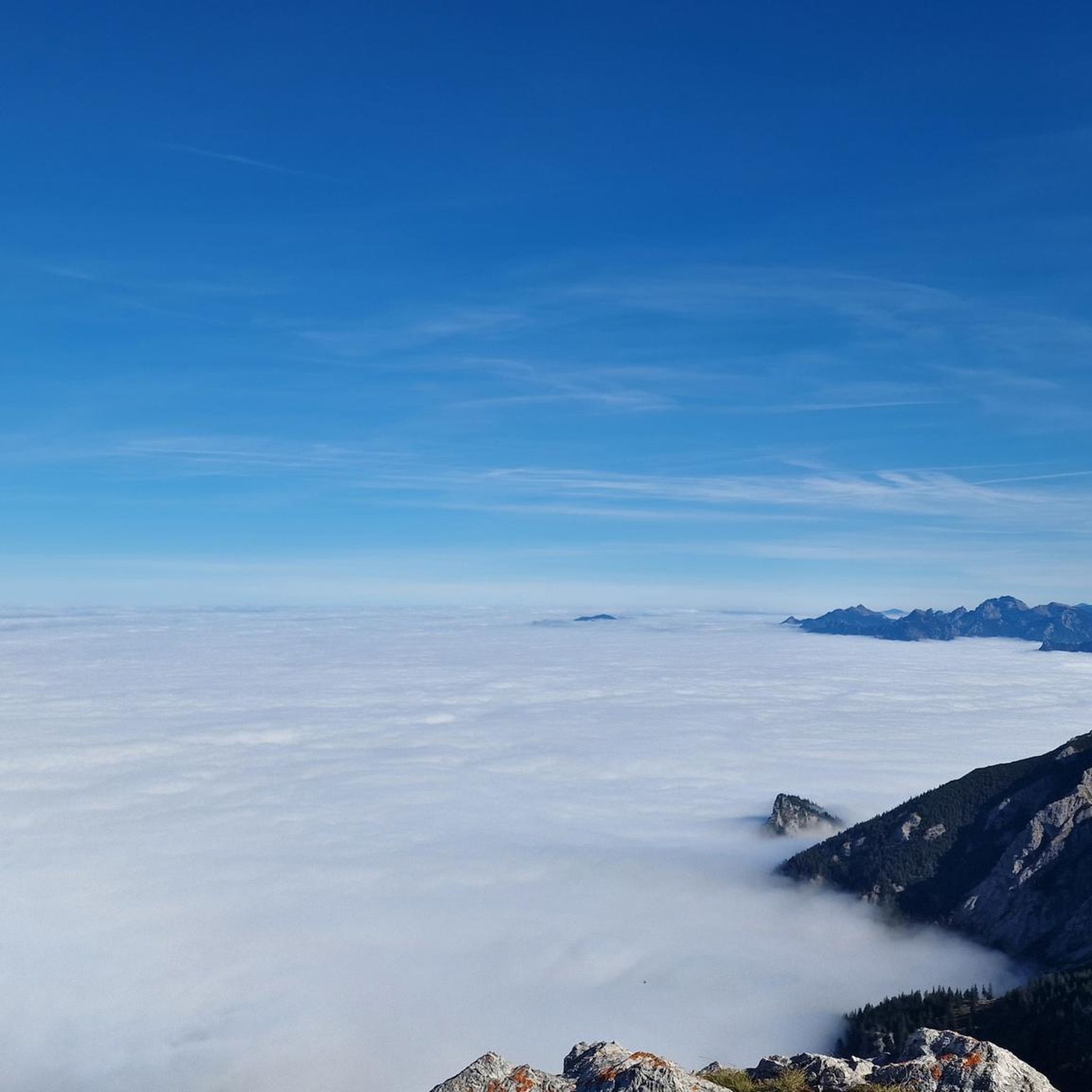
Traffic-free bike rides around Walnut Creek

Traffic-free bike rides around Danville


Tips from the Community

Mount Diablo, is the Bay Area second-highest peak at 1173m (3849ft). The challenging climb features constantly fluctuating gradients averaging 8%, with tough sections up to 18% and a brutal 23% finish in the last 200m. The equally demanding descent requires good bike handling due to tight corners, potholes, and strong winds. The road to the top is open daily from 8 AM till sunset.
0
0

The Museum of the San Ramon Valley was established in 1985 and sits in a restored 1891 Southern Pacific Railroad Depot with the Victorian-era “Combination Station No. 22” listed on the National Register of Historic Places. The Official Visitor Information Center offers maps, guides, and knowledgeable staff, along with free parking and restrooms located in the caboose.
1
0
This charming lake sits along the Ygnacio Canal Trail at Heather Farm Park. The park features two lakes, open grassy areas, playgrounds, picnic tables, and other facilities. The lake and surrounding areas are a great spot to take a break while cycling the Ygnacio Canal Trail.
0
0


Pretty tree-shaded park with lawns, picnic facilities and great access at the intersection of two long distance trail networks
1
0
A natural lake, mostly used for fishing, that has the paved Ygnacio Canal Trail on the west side and some unpaved trails along the east.
0
0

One of the fiercest peaks in the Bay. Always worth the effort. It’s often much cooler on the summit than the rest of the trails — there is a water spigot up there to fill up bottles. Also a store is open at some times. Don’t bank on it.
0
0

Danville is situated in the heart of the San Ramon Valley and has been voted "the safest town in California" for five consecutive years. It offers trendy restaurants, boutiques, and a thriving art scene.
0
0
Frequently Asked Questions
How many no traffic road cycling routes are available in Contra Costa County?
Contra Costa County offers a wide selection of traffic-free road cycling routes. You can find over 50 routes, catering to various skill levels, from easy rides to more challenging ascents.
What are the difficulty levels of no traffic road cycling routes in Contra Costa County?
The routes are diverse, with approximately 30 easy routes perfect for beginners or leisurely rides, 17 moderate routes for those seeking a bit more challenge, and 6 difficult routes for experienced cyclists looking for significant climbs and distances.
Are there easy, beginner-friendly no traffic road cycling routes?
Yes, Contra Costa County has many easy, beginner-friendly options. A great example is the Iron Horse and Contra Costa Canal Trail Loop, which offers a relatively flat and accessible ride through scenic areas.
Are there challenging no traffic road cycling routes for advanced cyclists?
Absolutely. For advanced cyclists, the county offers routes with significant elevation gain. The Mount Diablo via Summit Road route is a challenging 30.1-mile ride with over 1,100 meters of climbing, leading to panoramic views from the summit.
What scenic views can I expect on no traffic road cycling routes in Contra Costa County?
You can expect diverse scenery, from the panoramic vistas atop Mount Diablo Summit to the picturesque backdrops of the Carquinez Strait and the lush greenery of inland valleys. Many routes also pass through rolling hills and regional parks.
Can I find loop routes for no traffic road cycling?
Yes, many no traffic road cycling routes in Contra Costa County are loops. For instance, the Iron Horse and Contra Costa Canal Trail Loop provides a convenient circular ride. Other challenging loops around Mount Diablo, like the Curry Point – Mount Diablo Summit loop from Alamo, are also available.
What natural attractions can I see along no traffic road cycling routes?
Many routes offer access to natural attractions. You can cycle past beautiful lakes such as Lafayette Reservoir Recreation Area, or enjoy views of Briones Reservoir. The iconic Mount Diablo Summit is a prominent natural monument accessible by bike, offering expansive views.
Are there family-friendly no traffic road cycling options?
Yes, the extensive network of paved trails, such as the Iron Horse Regional Trail and the Contra Costa Canal Trail, are excellent for family-friendly rides. These trails are generally flat and well-maintained, providing a safe environment away from vehicle traffic.
What is the best time of year for no traffic road cycling in Contra Costa County?
Spring and fall generally offer the most pleasant weather for road cycling, with mild temperatures and less chance of extreme heat or heavy rain. Winter can also be suitable, though some higher elevation routes might be colder. Summers can be hot, especially in inland areas, so early morning or late afternoon rides are recommended.
Can I spot wildlife while road cycling in Contra Costa County?
Yes, Contra Costa County is rich in wildlife. Areas like Point Pinole Regional Shoreline are home to over 100 species of birds, butterflies, and owls. While cycling through regional parks and along trails, you might encounter various bird species, deer, and other local fauna, especially during quieter times of the day.
Are there cafes or places to stop along the no traffic road cycling routes?
Many of the longer trails, such as the Iron Horse Regional Trail, pass through or near towns like Walnut Creek, Dublin, and Pleasanton, where you'll find numerous cafes, restaurants, and shops for a break. Regional parks often have visitor centers or picnic areas as well.
What do other road cyclists enjoy most about no traffic routes in Contra Costa County?
The komoot community highly rates the no traffic road cycling routes in Contra Costa County, with an average score of 4.67 stars. Reviewers often praise the diverse terrain, from challenging mountain climbs to serene valley rides, and the extensive network of well-maintained paved trails that offer a safe and scenic cycling experience away from cars.
Most popular routes in Contra Costa County
Most popular attractions in Contra Costa County

Get inspired with the komoot mobile app


Didn’t find what you were looking for?
Check out more Road cycling routes throughout Contra Costa County below and find the perfect route in your destination.
Explore more
Browse the best Road cycling routes in other regions.
