The best road cycling routes in Contra Costa County
4.7
(332)
10,299
riders
309
rides
If you've ever tried to plan road cycling in Contra Costa County, you know how quickly the options can become overwhelming. With so many routes crisscrossing the region, it's tough to tell which ones are genuinely worth your time and effort, and which are just filler. That's where we come in. Our komoot community has mapped, ridden, and reviewed hundreds of routes here, so we've done the legwork to bring you a curated shortlist of the best road cycling routes…
Last updated: May 10, 2026
5.0
(10)
277
riders
48.5km
02:57
1,140m
1,140m
Mount Diablo via Summit Road offers a challenging and rewarding road cycling experience, taking you through diverse habitats to a peak with truly spectacular views. The route is primarily paved,…
4.4
(10)
161
riders
43.1km
02:05
350m
350m
The Lamorinda Trail Loop offers a fantastic road cycling experience, guiding you through the picturesque East Bay hills and charming communities of Lafayette, Moraga, and Orinda. Much of the route…

Sign up for free
5.0
(1)
127
riders
69.6km
03:44
1,060m
1,060m
The Lake Chabot Loop offers a diverse road cycling experience, transitioning from paved lakeshore paths with serene lake views to quiet, wooded interiors. You'll pedal through dense eucalyptus groves, open…
4.7
(6)
105
riders
48.9km
02:31
700m
700m
The Carquinez Scenic Drive loop offers a dynamic road cycling experience, covering 30.4 miles (48.9 km) with a moderate difficulty rating and 2297 feet (700 metres) of elevation gain, typically…
4.0
(3)
103
riders
48.5km
02:27
760m
760m
The Lamorinda Trail Loop offers a fantastic road cycling experience, winding through the scenic East Bay with a mix of dedicated paths and shared roads. You'll pedal past green hills,…
3.0
(1)
56
riders
80.1km
03:59
1,010m
1,010m
This challenging 49.7-mile (80.1 km) road cycling loop combines the varied landscapes of the Lamorinda Trail and the Carquinez Scenic Drive, offering a journey through East Bay hills, urban edges,…
5.0
(4)
62
riders
38.6km
01:42
280m
280m
The Dougherty Valley loop offers a wonderfully smooth and scenic road cycling experience, perfect for a relaxed outing. You'll cruise along mostly well-paved paths, enjoying pleasant views of the San…
5.0
(1)
39
riders
74.4km
03:57
1,360m
1,360m
The Lamorinda and Briones Loop offers a challenging road cycling experience, blending the smooth, repurposed railway lines of the Lamorinda Trail with the demanding, hilly terrain of Briones Regional Park.…
47
riders
51.8km
02:16
290m
290m
The Iron Horse and Tassajara Loop offers a diverse road cycling experience, blending the smooth, flat stretches of the Iron Horse Regional Trail with the rolling hills and open spaces…
5.0
(1)
49
riders
88.3km
04:22
1,170m
1,170m
The Carquinez Strait loop offers a challenging road cycling experience, winding through diverse landscapes where the San Francisco Bay meets the Sacramento-San Joaquin River Delta. You'll pedal past working waterfronts,…
Get access to more routes and recommendations from other explorers.
Sign up for free
Already have an account?
Our route recommendations are based on thousands of hikes, rides, and runs completed by other people on komoot.
Start today with a free account
Your next adventure awaits.
Login or Signup
Popular around Contra Costa County
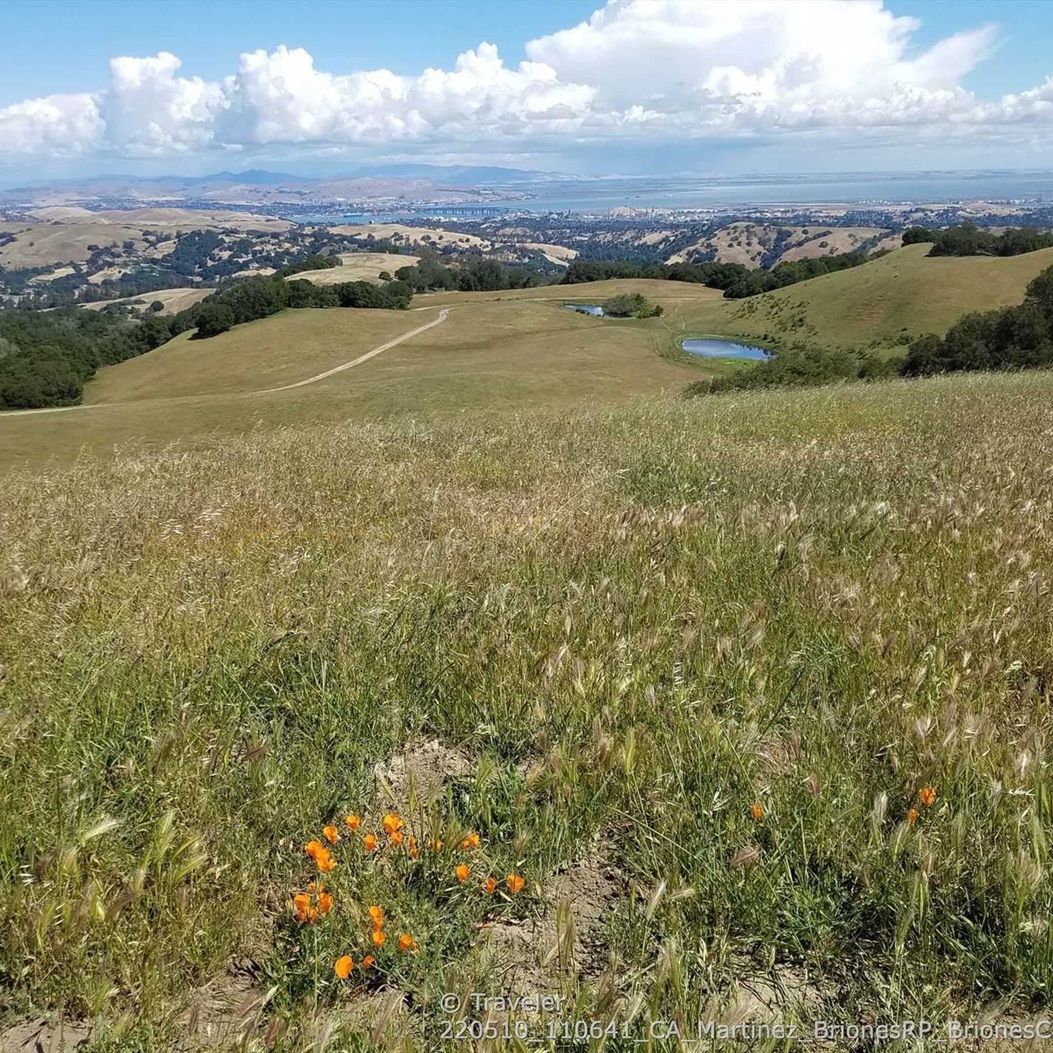
Road Cycling Routes around Reliez Valley
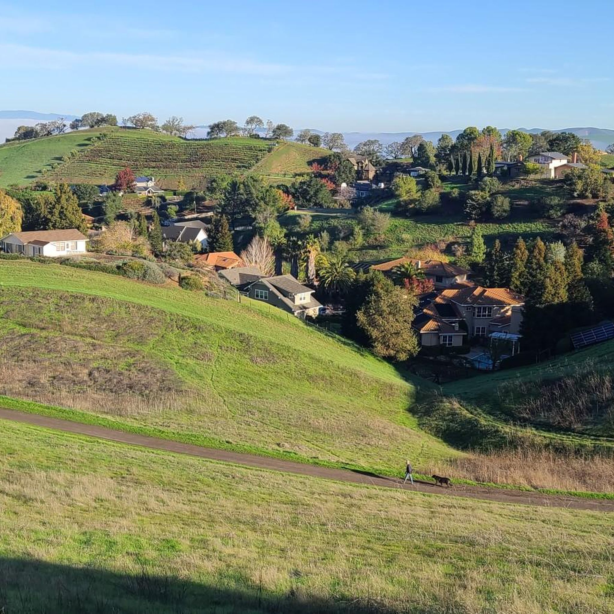
Road Cycling Routes around North Gate
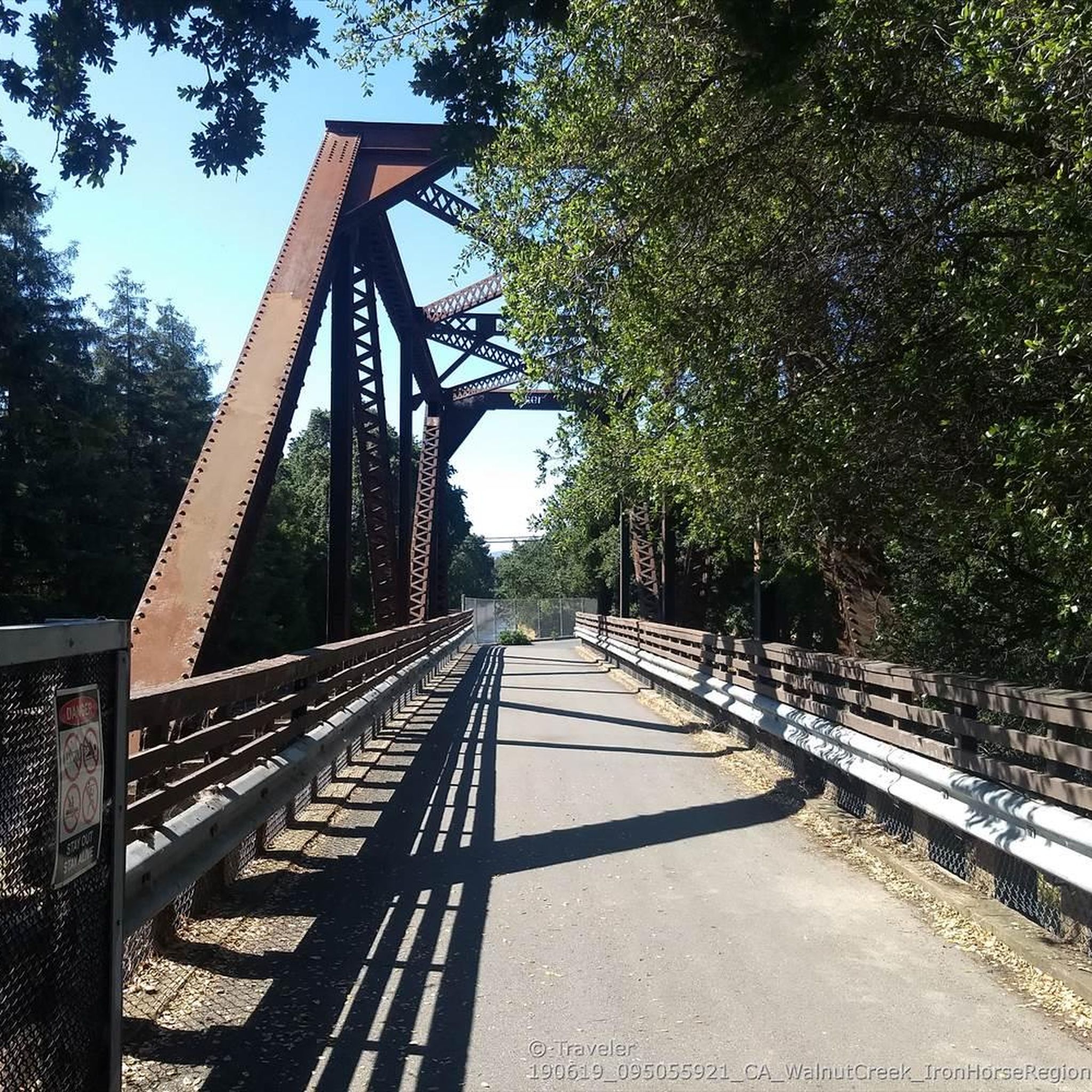
Road Cycling Routes around Pleasant Hill
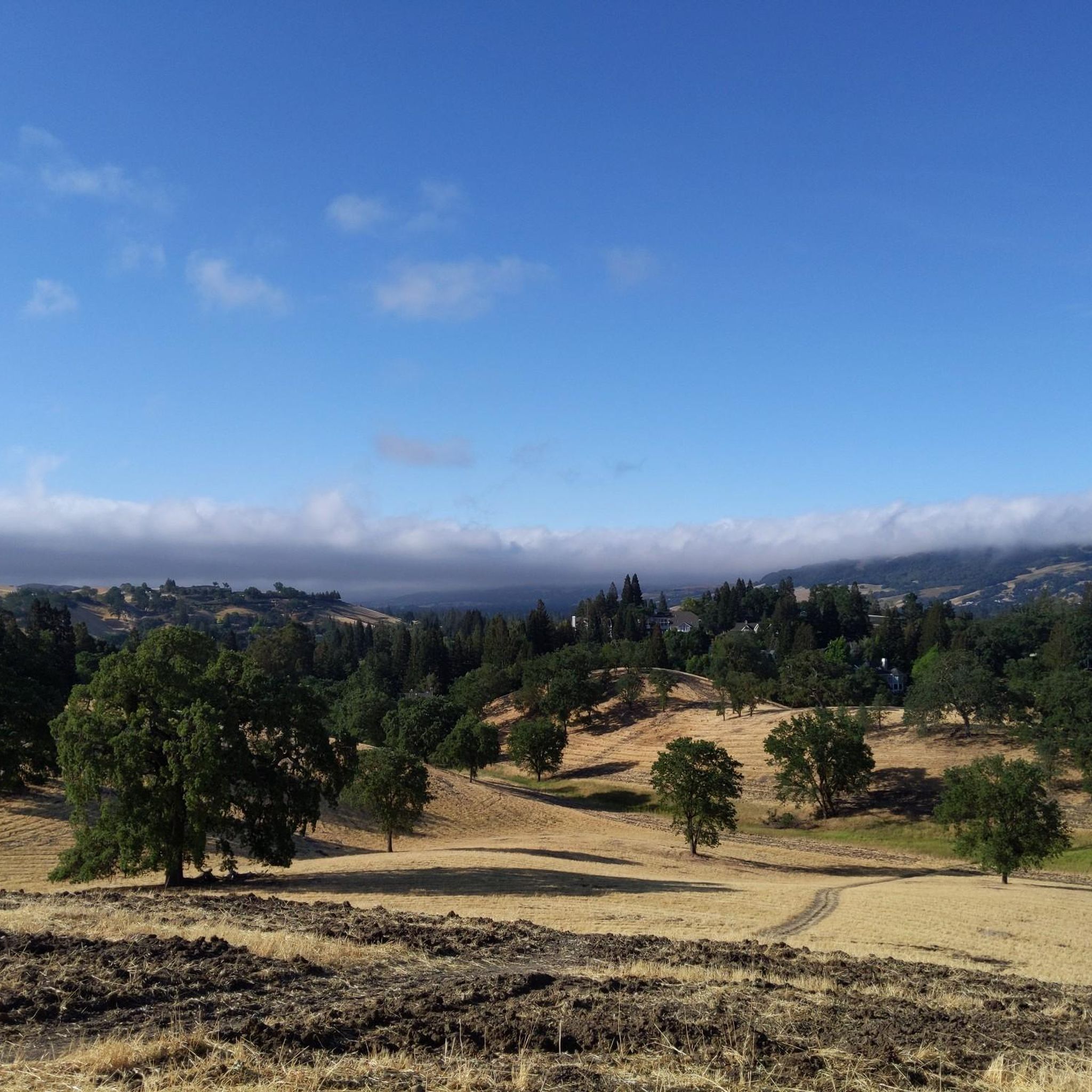
Road Cycling Routes around Danville
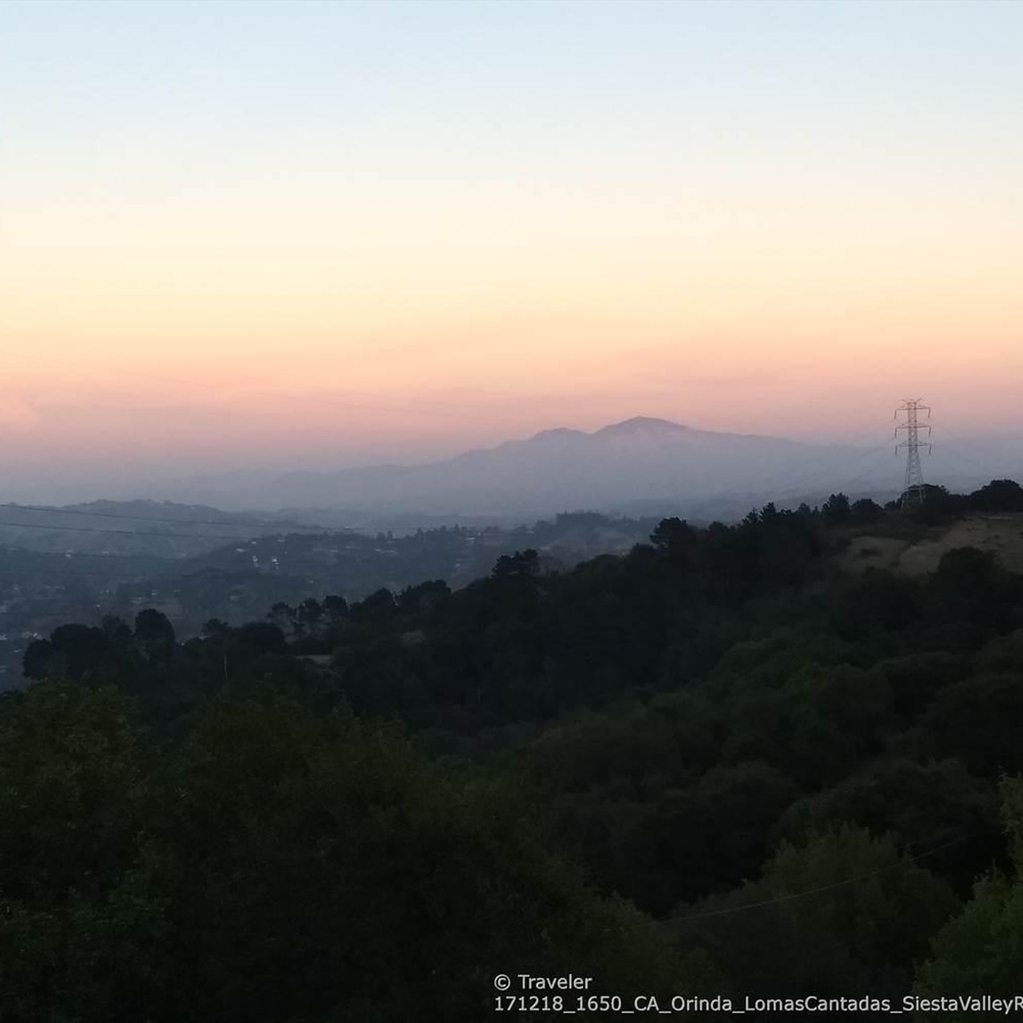
Road Cycling Routes around Orinda
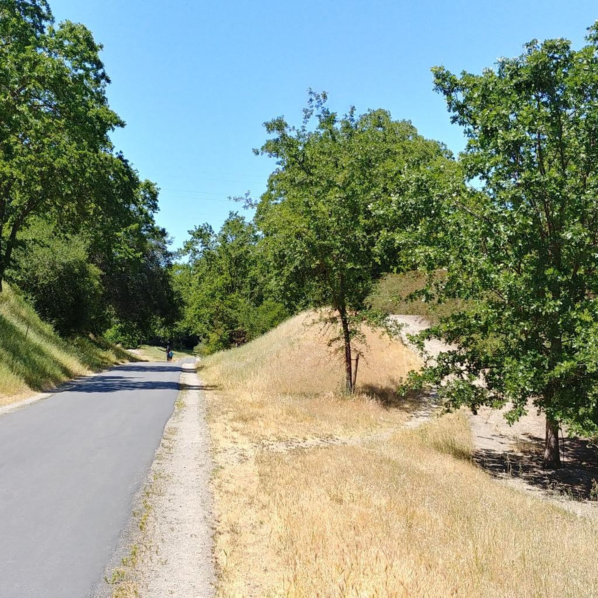
Road Cycling Routes around Walnut Creek
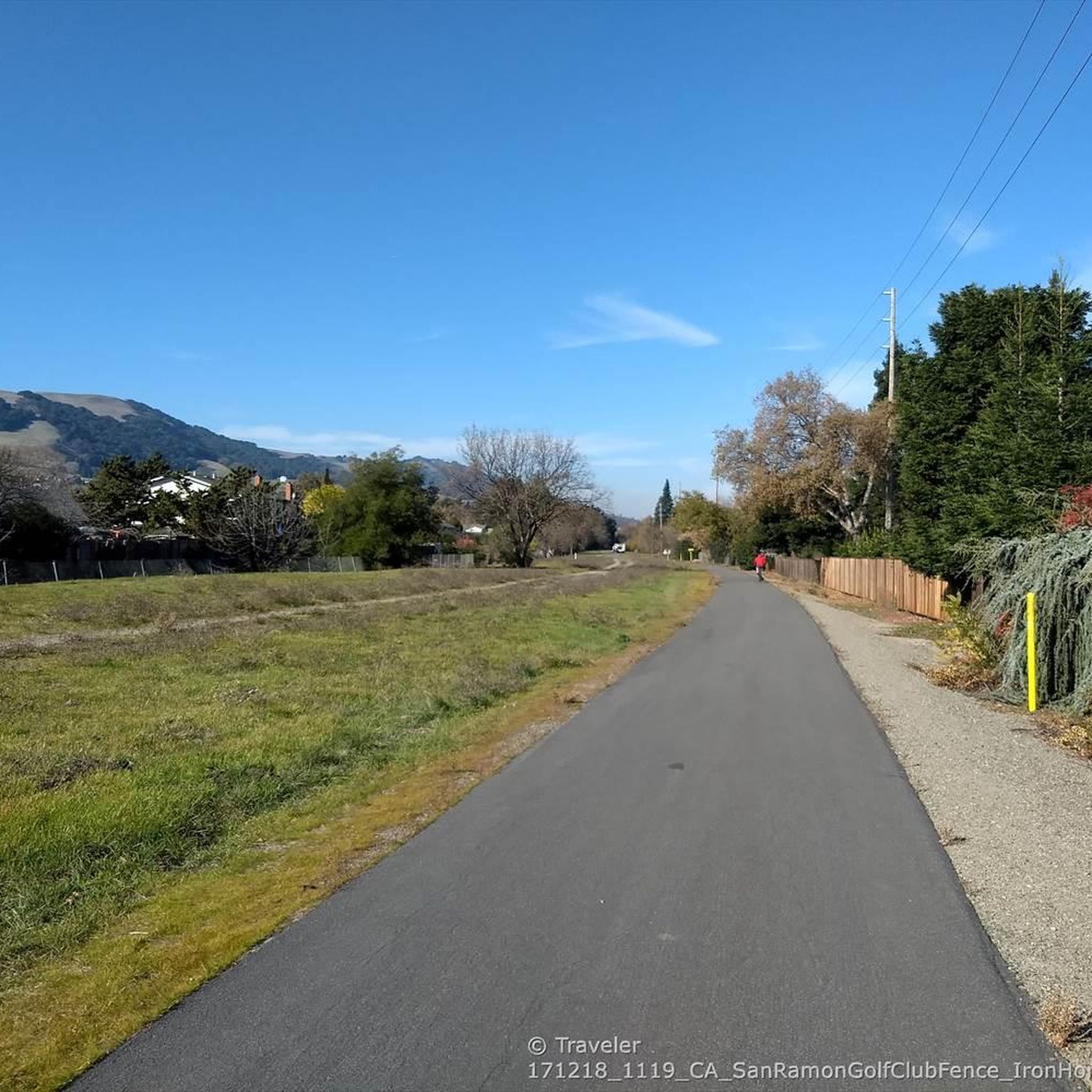
Road Cycling Routes around San Ramon
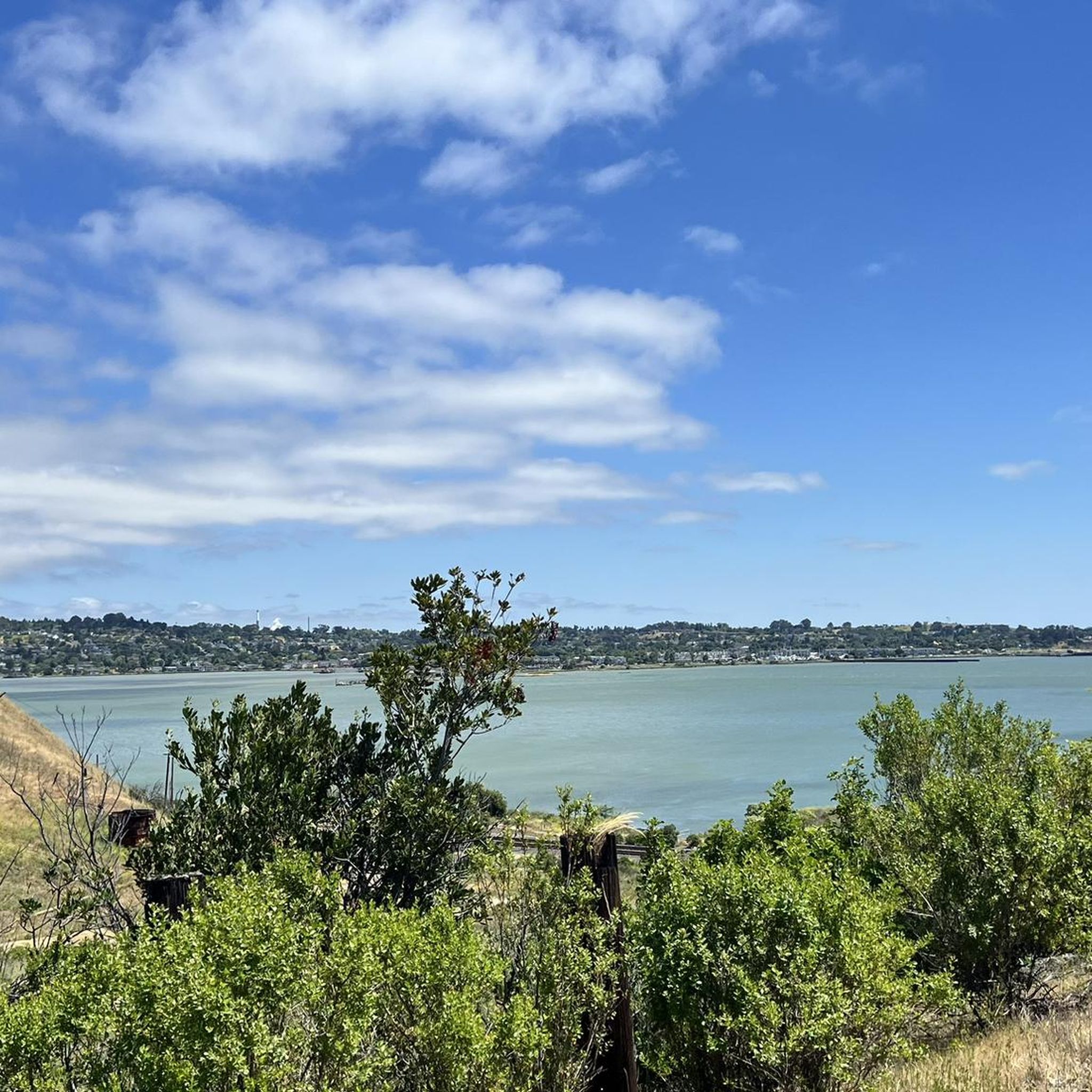
Road Cycling Routes around Shell Ridge
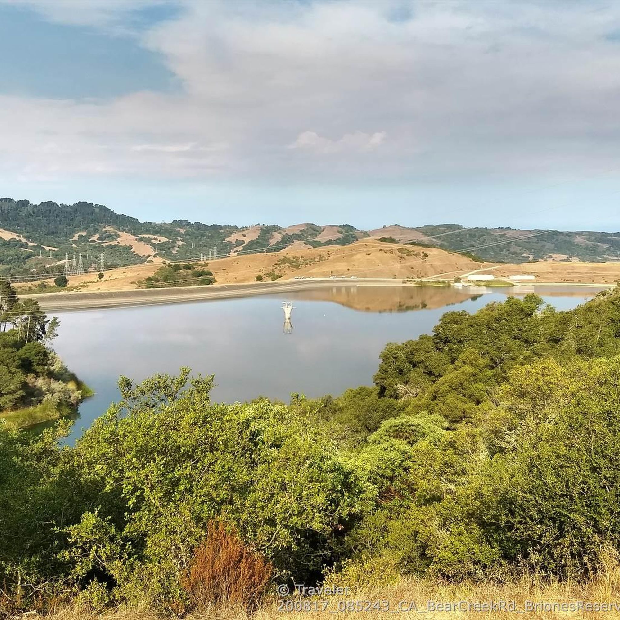
Road Cycling Routes around Vine Hill
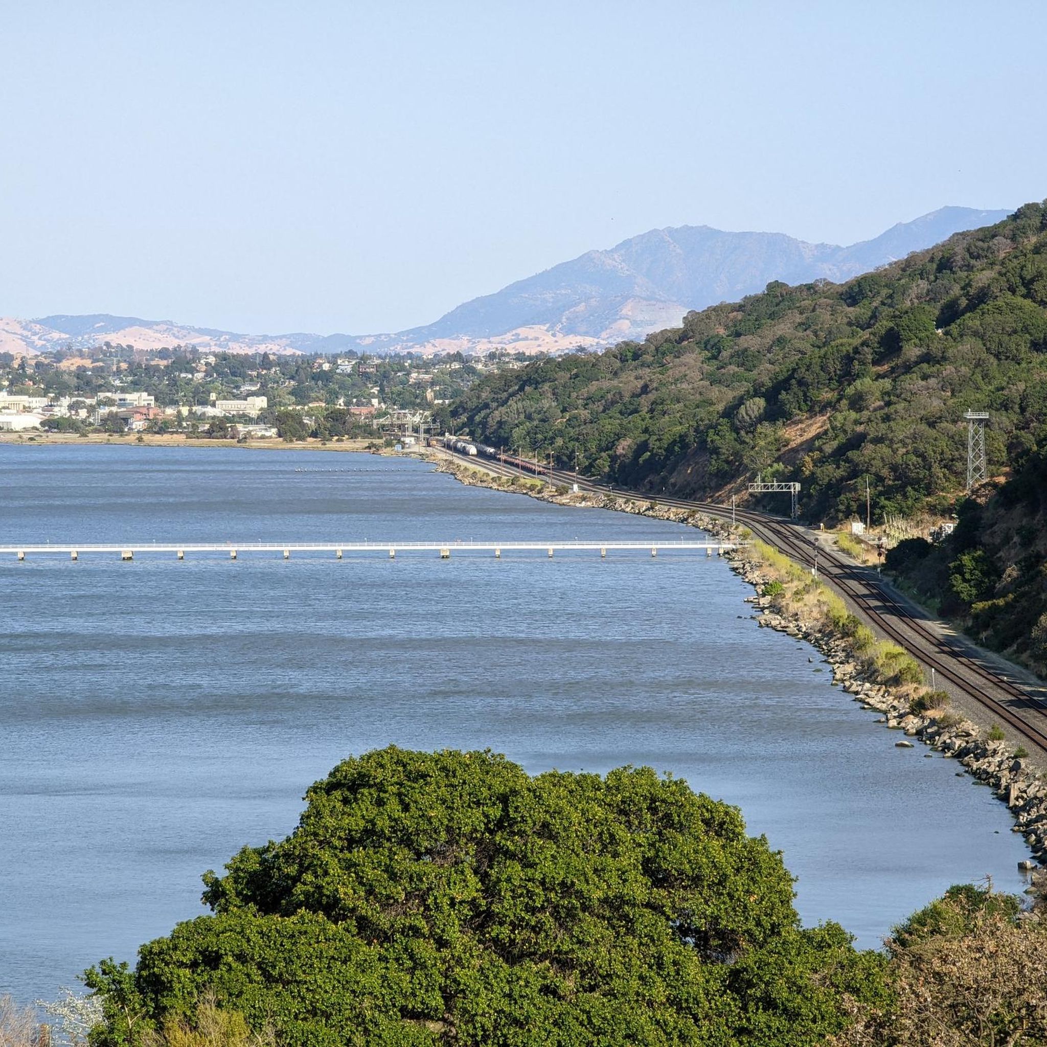
Road Cycling Routes around San Miguel


Tips from the Community

In this area of the Sobrante Ridge Regional Preserve, visitors can find the Sobrante Ridge Trailhead. The preserve is 277 acres in size and is a parkland that preserves the habitat of the extremely rare Alameda manzanita. It is an important home to indigenous plants and animals in this area.
0
0

Mount Diablo, is the Bay Area second-highest peak at 1173m (3849ft). The challenging climb features constantly fluctuating gradients averaging 8%, with tough sections up to 18% and a brutal 23% finish in the last 200m. The equally demanding descent requires good bike handling due to tight corners, potholes, and strong winds. The road to the top is open daily from 8 AM till sunset.
0
0

This road parallels the ridgeline above and have great views over the bay and surrounding hills.
0
0

The reservoir is a definite scenic highlight, and you can expect to see plenty of people kayaking, fishing, and hiking on and off the water. San Pablo Dam Road takes you to a couple different boat launches and picnic areas with views of the water. Old San Pablo Dam Road is more scenic and winds along the shore, but the surface is quite old and, while technically paved, is really better suited for a gravel bike.
0
0

The Lafayette-Moraga Regional Trail is a 7.65-mile path that runs through Moraga Valley, connecting Las Trampas Ridge with Oakland Hills.
0
0
This charming lake sits along the Ygnacio Canal Trail at Heather Farm Park. The park features two lakes, open grassy areas, playgrounds, picnic tables, and other facilities. The lake and surrounding areas are a great spot to take a break while cycling the Ygnacio Canal Trail.
0
0

Lafayette is a city in Contra Costa County, California, with a population of 25,391 as of 2020. Named after the Marquis de Lafayette, a French officer in the American Revolutionary War, landmarks include the Lafayette Library and Learning Center, Oakmont Memorial Park, and the Cross of Lafayette Memorial, a somewhat controversial tribute to U.S. soldiers who died in Iraq. Lafayette is also home to the historic Park Theater, which closed in 2005 but is currently being considered for reopening. This is a great town to pass through, or start and/or end a ride.
0
0

Nice stretch in a quiet valley, with lots of green and a few houses along the road
0
0
Frequently Asked Questions
How many road cycling routes are available in Contra Costa County?
Contra Costa County offers a wide variety of road cycling experiences, with over 300 routes available on komoot. These routes cater to all skill levels, from easy valley rides to challenging mountain ascents.
What types of terrain can I expect on road cycling routes in Contra Costa County?
The region boasts diverse terrain. You'll find challenging ascents around Mount Diablo and the Oakland-Berkeley Hills, scenic routes along the Carquinez Strait, and gentler rides through inland valleys and agricultural lands. Extensive trail networks like the Contra Costa Canal Trail and Iron Horse Regional Trail also provide varied surfaces.
Are there easy road cycling routes suitable for beginners or families in Contra Costa County?
Yes, Contra Costa County has numerous easy routes. For instance, the Dougherty Valley loop — San Ramon is an easy option. Many inland valley routes and sections of the Contra Costa Canal Trail or Iron Horse Regional Trail also offer flatter, more accessible rides perfect for those seeking a relaxed experience or cycling with family.
What are some challenging road cycling routes for experienced riders?
Experienced riders seeking a challenge will find plenty to test their limits. The iconic Mount Diablo via Summit Road — Walnut Creek is a difficult route with significant elevation gain. Other demanding options include the Lake Chabot Loop and the Alhambra Valley loop — Contra Costa County, both featuring substantial climbs.
What scenic views can I expect on road cycling routes in Contra Costa County?
Many routes offer breathtaking scenery. Ascents of Mount Diablo provide panoramic views that can stretch to the Farallon Islands and the Sierra Nevada on clear days. Routes along the Carquinez Strait offer picturesque water views, while inland valleys showcase agricultural landscapes and open spaces. In spring, wildflowers often blanket the hillsides, adding to the visual appeal.
Are there any loop routes available for road cycling?
Yes, Contra Costa County features many excellent loop routes. Popular options include the Lafayette loop — Walnut Creek, the Carquinez Scenic Drive loop — Concord, and the Carquinez Strait loop — Martinez, providing diverse experiences without retracing your path.
What can I see along the road cycling routes in Contra Costa County?
Beyond the natural beauty, you can explore various points of interest. Notable peaks like Mount Diablo Summit and Eagle Peak offer stunning vistas. For a unique experience, some routes pass near interesting geological features such as the Sandstone caves in Castle Rock formations or the Wind Caves.
What is the best time of year for road cycling in Contra Costa County?
The region generally offers good cycling conditions year-round. Spring is particularly beautiful with wildflowers, while fall provides pleasant temperatures and clear skies. Summers can be warm, especially in inland areas, so early morning rides are often preferred. Winters are mild, making it possible to cycle, though some higher elevations might experience cooler temperatures.
Are there any long-distance road cycling routes in the area?
Yes, for those looking for longer rides, Contra Costa County has several options. The Lamorinda Trail & Carquinez Scenic Drive loop — Lafayette covers over 80 km, and the Carquinez Strait loop — Martinez is nearly 90 km, offering extensive distances and varied scenery.
What do other road cyclists enjoy most about road cycling in Contra Costa County?
The area is highly rated by the komoot community, with an average score of 4.6 stars from over 250 reviews. Reviewers often praise the diverse landscapes, from challenging mountain climbs to scenic coastal and valley rides, and the extensive network of well-maintained trails that cater to all abilities.
How can I find parking for road cycling routes in Contra Costa County?
Many regional parks and trailheads throughout Contra Costa County offer designated parking areas for visitors. Specific parking information is often available on individual route pages on komoot or through local park district websites. It's advisable to check the starting point of your chosen route for the most accurate parking details.
Are there routes that connect different parts of the county?
Yes, extensive trail networks like the Contra Costa Canal Trail and the Iron Horse Regional Trail run through central Contra Costa County, providing continuous paved sections that connect various towns and natural areas. These trails are excellent for linking different cycling experiences or for longer, continuous rides across the region.
Most popular routes in Contra Costa County
Most popular attractions in Contra Costa County

Get inspired with the komoot mobile app


Didn’t find what you were looking for?
Check out more Road cycling routes throughout Contra Costa County below and find the perfect route in your destination.
Explore more
Browse the best Road cycling routes in other regions.
