The best traffic-free bike rides in Coos County
4.5
(12)
211
riders
17
rides
No traffic touring cycling routes in Coos County traverse a diverse landscape, characterized by rugged coastlines, vast sand dunes, and lush inland forests. The region features the scenic Coos Bay estuary and river valleys, offering varied terrain for cyclists. These physical features provide a range of cycling experiences, from coastal paths to routes through dense woodlands. The area's topography includes both flat sections and significant elevation changes, catering to different preferences.
Best no traffic touring cycling routes in Coos County
- The most popular no traffic touring cycling route is Mount Washington Auto Road Bicycle Hillclimb race route, a 7.7 miles (12.3 km) trail that takes 2 hours 14 minutes to complete. This route features a challenging climb with significant elevation gain.
- Another top favourite among local touring cyclists is Presidential Rail Trail, a difficult 35.5 miles (57.2 km) path. This trail offers a long-distance ride through varied terrain, including rail trail sections.
- Local touring cyclists also love the Old Cherry Mountain Road, Valley Road, & Jefferson Notch Road gravel loop, a 27.1 miles (43.6 km) trail leading through forested areas and gravel roads, often completed in about 3 hours 58 minutes.
- Touring cycling in Coos County is defined by rugged coastlines, expansive sand dunes, and lush forests. The network offers options for different ability levels, from moderate paths to more demanding routes with significant climbs.
- The routes in Coos County are highly rated by the komoot community with an average score of 4.4 stars from 8 reviews. More than 180 touring cyclists have used komoot to explore Coos County's varied terrain.
Last updated: July 8, 2026
5.0
(1)
73
riders
12.3km
02:14
1,400m
20m
The Mount Washington Auto Road Bicycle Hillclimb race route is an unrelenting ascent, widely considered one of the world's toughest cycling climbs. Over 7.7 miles (12.3 km), you'll gain an astonishing 4600 feet (1402 metres) of elevation, with an average gradient of 11.9% to 12% and sections reaching 20-22%. The scenery transforms dramatically from dense forest to a stark, alpine environment as you climb towards the Mount Washington Summit, offering expansive views on clear days, though the mountain's weather is famously unpredictable. This difficult route, typically taking 2 hours and 13 minutes, is for very fit cyclists seeking an extreme challenge.
Planning your ride on this iconic route requires careful attention to its unique access rules. The Auto Road is only open to bicycles during specific annual events: the hillclimb race in August and a practice ride in July. You cannot descend by bike; vehicle transport must be arranged for your return. Always check the weather forecast for Mount Washington, as conditions can be extreme, with high winds and cold temperatures possible even in summer.
This climb is a true bucket-list experience, not just for its extreme difficulty but also for its historical significance as America's oldest man-made tourist attraction. The hillclimb race itself has a long history, raising money for environmental conservation. The rapid ecological shift from forest to tundra-like terrain over such a short distance is a unique feature in the Northeast, making the effort even more memorable.
5.0
(2)
27
riders
57.2km
05:25
350m
350m
Embark on a challenging touring bicycle adventure along the Presidential Rail Trail, a difficult route spanning 35.5 miles (57.2 km) with an elevation gain of 1161 feet (354 metres). You can expect to complete this journey in about 5 hours and 24 minutes, cycling through varied landscapes. As you pedal, you'll pass through forests, bogs, and pastures, enjoying views of the Presidential Mountain Range and the Kilkenny Range, especially from the Pondicherry Wildlife Refuge.
When planning your visit, be aware that the trail's surface includes gravel, crushed stone, and some rougher sections. For this reason, bikes with wider tires, such as hybrid or gravel bikes, are highly recommended; road bikes with skinny tires are not suitable for the terrain. You will find several parking lots conveniently located along the trail's length, making it easy to access and start your ride from various points.
This route follows old railway lines, offering a unique perspective on the White Mountain National Forest. Keep an eye out for local wildlife, including moose and black bears, as you follow rivers like the Israel and Moose. The trail is particularly scenic in summer with abundant wildflowers, and transforms into a spectacular display of foliage during the fall months.

Sign up for free
5.0
(1)
11
riders
43.6km
03:58
810m
810m
Embark on a memorable gravel cycling journey through the White Mountain National Forest with the Old Cherry Mountain Road, Valley Road, & Jefferson Notch Road gravel loop. This difficult 27.1-mile (43.6 km) route, which typically takes around 3 hours and 58 minutes, offers a diverse landscape, from quiet forested roads to open stretches with grand vistas of the Presidential Range. You'll navigate varied surfaces, including pavement, gravel, and dirt, and be treated to stunning views of Mount Washington from Valley Road, making every pedal stroke worthwhile.
Planning your ride requires attention to seasonal closures; Old Cherry Mountain Road and Jefferson Notch Road are typically closed to motorized vehicles from late fall to mid-to-late spring. This window often provides the best conditions for a quieter ride, though you should still be cautious of active logging operations. Given the mixed terrain, including chunky and loose gravel, robust tires of 32mm or wider are highly recommended to ensure a smooth and safe experience.
This loop stands out for its historical significance, with Old Cherry Mountain Road once part of the Jefferson Turnpike, an early 19th-century toll road. It also includes Jefferson Notch Road, the highest public highway in New Hampshire, providing unique high-altitude views. Beyond the challenging climbs and scenic beauty, the route offers abundant birdwatching opportunities and a chance to experience the rich ecosystems of the White Mountain National Forest, making it a notable regional ride for serious gravel cyclists.
4.0
(1)
12
riders
27.7km
02:34
110m
110m
The Presidential Rail Trail Loop offers a delightful touring cycling experience through the scenic northern White Mountains. You'll pedal past wetlands and ponds, including Cherry Pond with its observation deck, all while enjoying panoramic views of the Presidential Range. The route follows old railway lines, providing a journey through diverse natural environments and a chance to spot local wildlife.
This moderate 17.2-mile (27.7 km) loop, with a gentle 373 feet (114 metres) of elevation gain, typically takes about 2 hours and 33 minutes. The surface varies from packed stone dust to coarser gravel and grassy sections, so a hybrid or mountain bike is ideal. Trailheads are available at both ends, and the Pondicherry trailhead offers a kiosk and porta-potty, making it a convenient starting point.
Part of the larger Cross New Hampshire Adventure Trail, this route is a fantastic way to explore the region's natural beauty and history. It's a multi-use path, so you might share it with hikers or equestrians, and some sections near Gorham are open to OHRVs. Keep an eye out for moose, beavers, and a variety of bird species as you ride.
2
riders
37.3km
03:11
380m
380m
The Kilkenny Loop Road gravel offers a diverse touring bicycle experience through the stunning White Mountain National Forest. You'll pedal along a mix of gravel roads, smooth rail trails, and quiet paved sections, all while soaking in panoramic views of the Presidential, Pilot, Pliney, and Dalton mountain ranges. Keep an eye out for wildlife as you pass through the ecologically rich Pondicherry division of the Silvio O. Conte National Fish and Wildlife Refuge, with its serene ponds and wetlands.
This moderate 23.2-mile (37.3 km) route involves 1255 feet (382 metres) of elevation gain and typically takes around 3 hours and 11 minutes to complete. While much of the terrain is manageable, be ready for some challenging climbs that add to the adventure. For the best experience, plan your ride during the warmer seasons when the gravel roads are clear, and consider using tires 32mm or wider to handle the varied surfaces.
What makes this route stand out is its immersion in the expansive White Mountain National Forest, offering a true escape into nature. The integration of old rail trails provides sections of smoother, more gradual cycling, contrasting nicely with the more rugged gravel. It's a fantastic option for cyclists who appreciate varied terrain and a rewarding workout amidst spectacular mountain scenery.
Get access to more routes and recommendations from other explorers.
Sign up for free
Already have an account?
Our route recommendations are based on thousands of hikes, rides, and runs completed by other people on komoot.
Start today with a free account
Your next adventure awaits.
Login or Signup
Popular around Coos County

Traffic-free bike rides in Pondicherry Division Of The Silvio O. Conte National Fish And Wildlife Refuge
Traffic-free bike rides in Presidential Range-Dry River Wilderness

Traffic-free bike rides in Great Gulf Wilderness

Traffic-free bike rides around Gorham

Traffic-free bike rides in Moose Brook State Park

The Appalachian Trail — America's most iconic long-distance hike
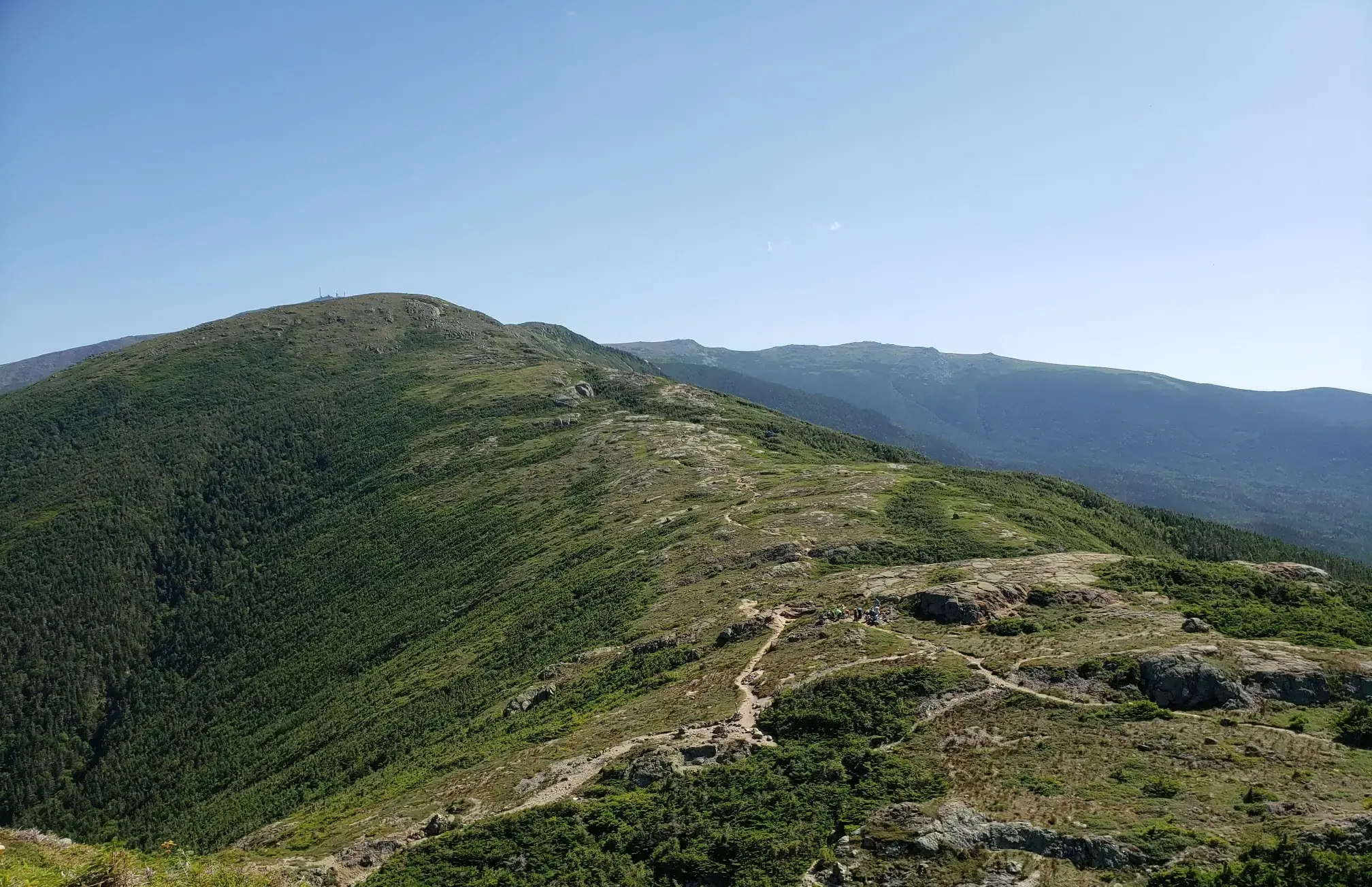
The Presidential Traverse — A classic New Hampshire sandbag
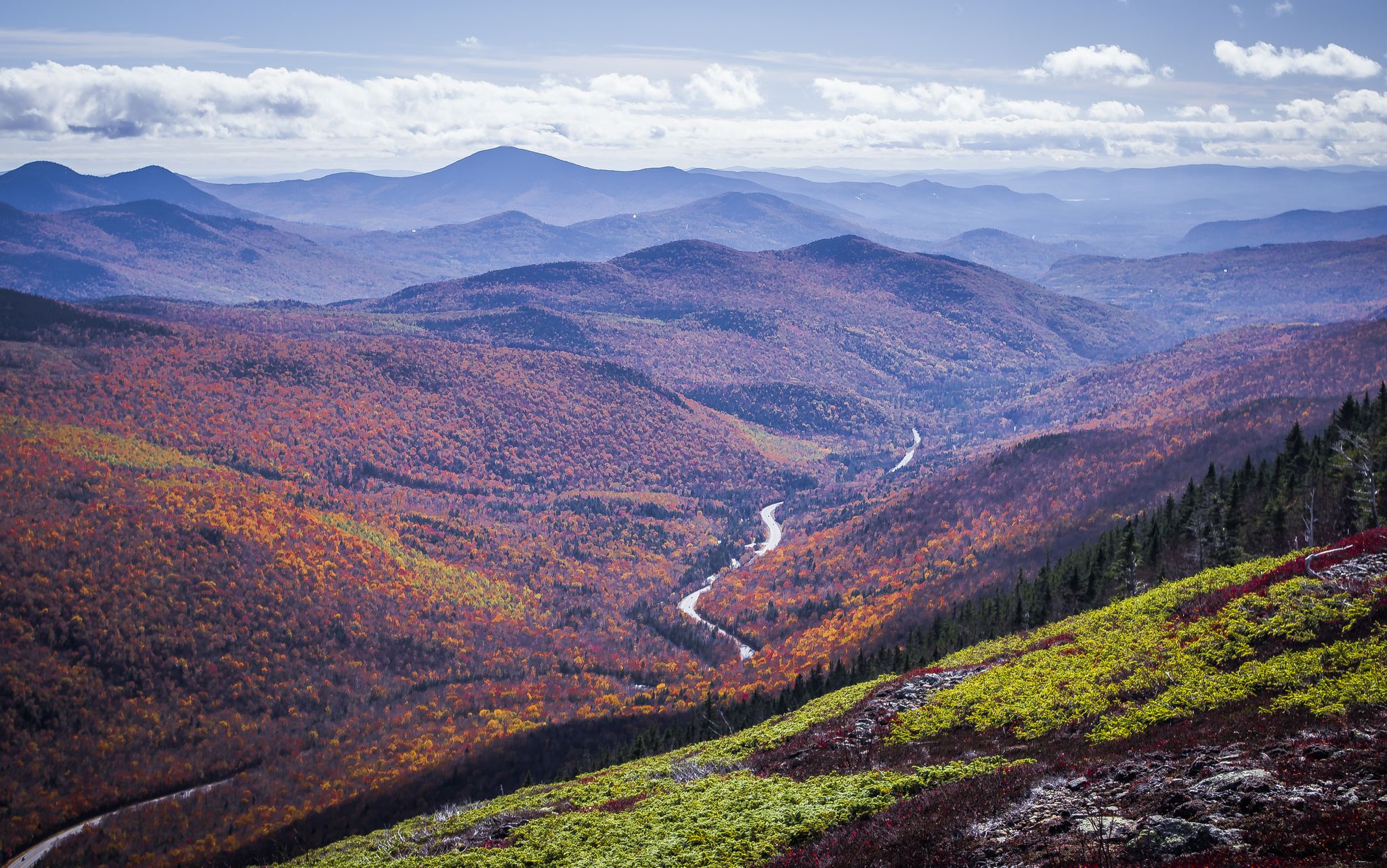
Cohos Trail — Exploring New Hampshire’s remote North Woods
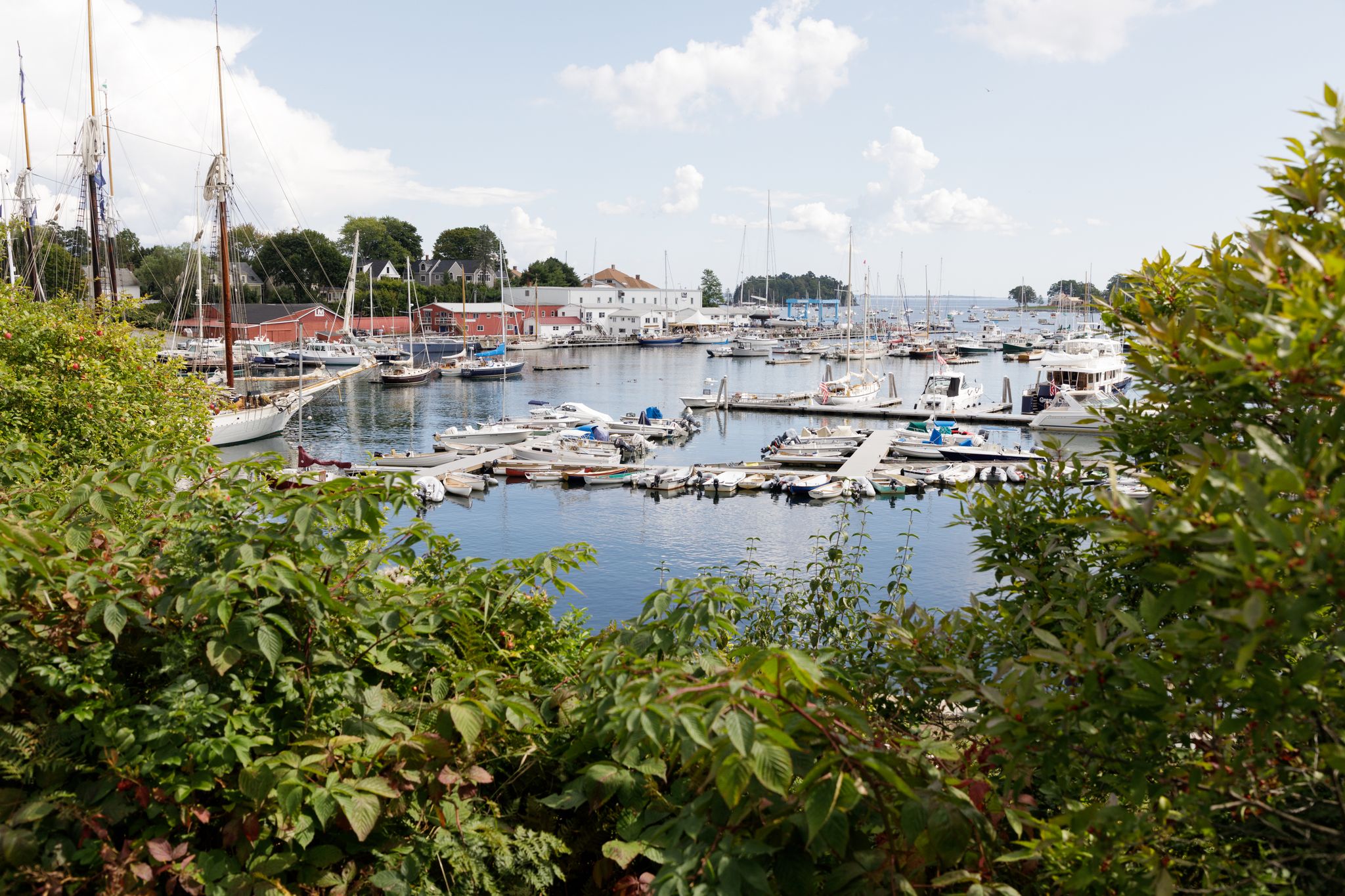
New England – vibrant cities, picturesque coastlines and wild mountain landscapes

Traffic-free bike rides in Coos County
Other adventures in Coos County


Tips from the Community

This remarkable 7.6-mile climb, accessible to cyclists only twice each year, commences in the town of Glen House. From there, the Mt. Washington Auto Road winds its way upward like a a two-lane ribbon. As you climb, you pass through forests and ultimately above the treeline. The views will pay you back when you reach the 6,288-foot summit of Mt. Washington!
0
0

Washington is the most prominent mountain in the eastern U.S. and an absolutely incredible peak to bag. This is easily one of the best summits in New England. It is also the most dangerous if you come unprepared, especially in the winter. Washington creates its own rapidly changing weather system and is known for being the deadliest small mountain in the world. The second-fastest wind speed on earth was recorded here at over 230mph. That said, a quarter million people visit Washington every year, and if you come prepared and respect the mountain you have nothing to fear and are guaranteed to have an epic summit.
0
0

Dress warmly. Snow season begins July 1 and ends June 30. We were at 68 mph at the summit. Keeping your hat on is a good idea. Two days ago, when we were last up there, it was 73 degrees Fahrenheit and the wind was blowing lightly around 23 mph. Mt. Washington is the highest peak within 1,000 miles, making it an exposed location with what the US Weather Service calls the worst and most surprising weather in the world.
0
0

At a height of 6,288 feet in elevation, Mount Washington is the highest point in the range, state, and region. Some people drive to the summit, but there are a couple of days each year that you can bike the paved road to the top, which is a popular challenge for avid cyclists. A gravel bike can be handy since some of the road grades get so steep that you need that bigger cassette. The two events hosted each year for cyclists is the Mount Washington Auto Road Bicycle Hillclimb race each August and the Early Bird (which is just a solo ride for 150 riders) in July. There are places to refill your water, go to the restroom, lock up your bike, and even get a bike to eat if you need it at the top on race day. Note that all riders have to get a ride down the mountain and aren't allowed to bike down the road!
0
0
Kilkenny Loop Road serves as one of the ultimate gravel riding loops in White Mountain National Forest. There are a number of other trails and double-track roads that branch off of this main path, but just sticking to the Kilkenny Loop Road creates a pretty sweet 15-mile loop on dirt and gravel forest roads.
0
0
The Presidential Rail Trail is a dirt and gravel double-track trail that passes through the heart of the Silvio O. Conte National Fish and Wildlife Refuge. The path is mostly flat and is open to a number of trail users. This section passes through open meadows and fields and has mountain views pretty much the entire time before arriving at the ponds that are in the center of the refuge.
0
0

Iconic spot inside the White Mountains National Forest. The climb up here is pretty cool, especially during the summer time where you'll enjoy and appreciate the forest's shade!
0
0
From pavement to gravel to dirt, Old Cherry Mountain Road has a little of everything. There is a White Mountain National Forest boundary sign on the side of the road as you climb further up the mountain.
0
0
Frequently Asked Questions
What types of terrain can I expect on no-traffic touring cycling routes in Coos County?
Coos County offers a diverse range of terrain for no-traffic touring cycling. You'll find routes along rugged coastlines with ocean views, through lush forests and river valleys, and even some gravel paths in inland areas. The region's varied landscapes provide a mix of experiences, from paved loops with estuary views to more challenging routes with significant elevation gain through woodlands.
Are there no-traffic touring cycling routes suitable for different skill levels in Coos County?
Yes, Coos County provides no-traffic touring cycling routes for various skill levels. You can find easier, mostly paved loops offering scenic views, as well as more demanding rides with considerable elevation changes. For example, the Presidential Rail Trail Loop is a moderate option, while routes like the Mount Washington Auto Road Bicycle Hillclimb race route present a difficult challenge with substantial climbing.
What natural attractions can I see along the no-traffic touring cycling routes?
Many routes offer access to stunning natural attractions. You can encounter dramatic coastal vistas, expansive sand dunes, and dense woodlands. Specific highlights include the impressive Glen Ellis Falls and Crystal Cascade, both beautiful waterfalls. You might also pass by significant peaks like Mount Washington Summit or Mount Jackson Summit, offering panoramic views.
When is the best time of year to go touring cycling in Coos County?
The mild coastal climate of Coos County makes it suitable for cycling year-round. However, late spring to early fall is generally considered ideal, as trails are typically drier and the weather is temperate, providing the most comfortable conditions for touring cycling.
Are there any circular no-traffic touring cycling routes in Coos County?
Yes, Coos County features several circular routes that allow you to start and end in the same location. An example is the Presidential Rail Trail Loop, which offers a moderate ride. Another option is the Old Cherry Mountain Road, Valley Road, & Jefferson Notch Road gravel loop for a more challenging circular experience.
What are the typical durations for no-traffic touring cycling routes in Coos County?
Route durations vary significantly based on distance and elevation. Shorter, easier routes might take a couple of hours, while longer, more challenging tours can extend to half a day or more. For instance, the Presidential Rail Trail is a longer route that could take several hours to complete.
What do other touring cyclists enjoy most about the no-traffic routes in Coos County?
The area is highly rated by the komoot community, with an average score of 4.4 stars. Reviewers often praise the diverse landscapes, from dramatic coastlines to serene forest paths, and the opportunity to experience nature away from vehicle traffic. The variety of routes catering to different skill levels is also frequently highlighted.
Are there any gravel touring cycling options in Coos County?
Yes, Coos County offers extensive unpaved surfaces for gravel riding, often featuring low traffic and scenic natural areas. A notable option is the Old Cherry Mountain Road, Valley Road, & Jefferson Notch Road gravel loop, which provides a challenging ride through varied terrain. Another is the Kilkenny Loop Road gravel route.
Can I expect to see wildlife while touring cycling in Coos County?
Given Coos County's diverse natural environments, including forests, coastal areas, and river valleys, you have a good chance of encountering various wildlife. Keep an eye out for local bird species, marine life near the coast, and forest animals, especially on quieter, less-trafficked routes.
Are there any specific permits or fees required for touring cycling on these routes?
Generally, no specific permits are required for touring cycling on the public roads and trails mentioned. However, it's always advisable to check for any specific regulations if you plan to enter state parks or designated recreation areas, as some might have day-use fees or specific rules for cyclists.
What are the typical weather conditions for touring cycling in Coos County?
Coos County experiences a mild coastal climate. Summers are generally cool and dry, while winters are mild and wet. Fog is common along the coast, especially in the mornings. It's always recommended to check the local forecast before heading out and be prepared for changing conditions, particularly if cycling near the ocean or at higher elevations.
Most popular routes in Coos County
Most popular attractions in Coos County

Get inspired with the komoot mobile app


Didn’t find what you were looking for?
Check out more Cycling routes throughout Coos County below and find the perfect route in your destination.
Explore more
Browse the best Cycling routes in other regions.
