Routes

Planner

Features

Updates

App

Login or Signup

Get the App

Login or Signup

Routes
Hikes
United States
New Hampshire

Coos County

The best walks and hikes in Coos County

4.6

(322)

6,815

hikers

247

hikes

Hiking in Coos County is characterized by the rugged terrain of the White Mountains, featuring dense forests, steep ravines, and numerous peaks. The region offers a diverse range of landscapes, from dramatic coastal scenery and expansive beaches to unique dune environments and lush inland forests with impressive waterfalls. Trails wind along rugged cliffs, through vast sand dunes, and to towering waterfalls, providing varied experiences for outdoor enthusiasts. The trail network provides options for a range of abilities, from moderate forest walks to challenging alpine ascents above the treeline.

Best hiking trails in Coos County

  • The most popular hiking route is Mount Washington via Tuckerman Ravine Trail, a 4.0 miles (6.5 km) trail that takes about 3 hours 21 minutes to complete. This difficult path involves significant elevation gain to the summit of Mount Washington.
  • Another top favourite among local hikers is Mount Tom, Field, Willey, and Avalon Loop, a difficult 7.8 miles (12.5 km) path. This loop offers extensive views across the White Mountains.
  • Local hikers also love the Presidential Traverse: Highland Center Lodge to Randolph, a 17.5 miles (28.2 km) trail leading through the White Mountains, often completed in about 11 hours 41 minutes.
  • Hiking in Coos County is defined by its high peaks, rocky ravines, and extensive national forest lands. The trail network provides options for a range of abilities, from moderate valley hikes to some of the most challenging hikes in the White Mountains.
  • The routes in Coos County are highly rated by the komoot community with an average score of 4.6 stars from more than 200 reviews. More than 5,000 hikers have used komoot to explore Coos County's varied terrain.

Last updated: August 17, 2026

5.0

(5)

114

hikers

#1.

Mount Washington via Tuckerman Ravine Trail

6.46km

03:22

1,280m

0m

Prepare for a difficult hike up Mount Washington via the Tuckerman Ravine Trail, a challenging ascent covering 4.0 miles (6.5 km). You will gain a significant 4202 feet (1281 metres) in elevation, with an estimated duration of 3 hours and 21 minutes to reach the summit. The route begins with pleasant woodland views, passing the picturesque Crystal Cascade waterfall, before the terrain changes dramatically. As you climb, you will enter the impressive Tuckerman Ravine, navigating over boulders on the headwall for increasingly spectacular views above the treeline.

Planning your visit requires careful attention to Mount Washington's famously unpredictable weather. The trail starts at the Appalachian Mountain Club (AMC) Pinkham Notch Visitor Center; it is wise to check current conditions there before you begin. In winter and spring, the Tuckerman Ravine headwall can be impassable and closed due to snow, ice, and avalanche hazards, often requiring technical gear. Even during summer and fall, you should be ready for high winds, low visibility, and rapid temperature changes.

This iconic route is one of the most popular ways to reach the summit from the east side, located within the White Mountain National Forest. While the summit can offer expansive views, be prepared for it to be frequently shrouded in fog and clouds. The dramatic changes in terrain and climate make this a notable experience for those seeking a true mountain challenge.

Navigate with device

Send to Phone

Save

Hard

4.5

(2)

85

hikers

Embark on the challenging Mount Tom, Field, Willey, and Avalon Loop, a difficult 7.8 miles (12.5 km) hike that typically takes 5 hours and 54 minutes. You will ascend a significant 3077 feet (938 metres) through varied terrain, typical of the White Mountains, featuring rocky and rooty sections. While Mount Tom and Mount Field offer mostly wooded summits, the highlight is Mount Avalon, which rewards your effort with exceptional panoramic views of Crawford Notch and Mount Washington. Along the lower Avalon Trail, you can also discover the beauty of Beecher Cascade and Pearl Cascade, adding visual interest to your journey.

The trailhead for this loop is easily accessible from either the Crawford Notch Visitor Center or Crawford Depot, offering convenient starting points. This difficult route is viable year-round, but be aware that conditions change significantly with the seasons. If you plan to hike during winter months, you should be prepared for potentially icy sections. Make sure to bring appropriate gear such as microspikes or snowshoes to ensure your safety and enjoyment on the trail.

This loop is situated within Crawford Notch State Park, a region known for its rugged beauty and diverse landscapes. The path between Field and Willey guides you through a dense, scenic forest, showcasing the natural environment of the White Mountains. The varied terrain and multiple summit experiences make this a notable and rewarding hike for experienced adventurers seeking a comprehensive tour of the area's peaks and waterfalls.

Hard
guide_signup
Let us show you the way with the komoot mobile app
With a free komoot account, you can easily find, customize, and navigate endless outdoor adventures.

Sign up for free

Embark on the challenging Presidential Traverse from Highland Center Lodge to Randolph, a demanding hike that spans 17.5 miles (28.2 km). You will ascend a significant 5487 feet (1672 metres) over an estimated 11 hours and 41 minutes, making this a truly difficult endeavor. The route takes you high above the treeline, offering expansive views of the Great Gulf and the Presidential Range-Dry River areas. Expect to navigate rugged terrain, including rocky paths and granite slabs, especially as you approach landmarks like Mount Madison Summit. The ever-present possibility of rapidly changing weather adds to the adventure, ensuring a memorable experience.

Preparing for this traverse requires careful attention to the weather. You should always check the higher summits forecast before you begin, as conditions can shift quickly and dramatically, even seeing snow and freezing temperatures in any month. Much of the route is exposed above the treeline, so pack layers and be ready for anything. While AMC huts like Mizpah Spring Hut offer places to rest and resupply water, it is wise to secure reservations well in advance. Plan your start time to allow ample daylight for the full 11 hours and 41 minutes of hiking.

This iconic traverse is a true test of endurance for experienced hikers, known for its sustained periods above the treeline. The route provides uninterrupted views across the vast White Mountain National Forest, including the Presidential Range-Dry River areas. You will encounter granite slabs and rocky paths that define the technical northern sections of the trail. The journey culminates near Lake of the Clouds Hut, offering a memorable final stretch before descending towards Randolph.

Hard

Embark on the difficult Mount Washington Loop via Tuckerman Ravine and Boott Spur Trail, a challenging hike covering 9.8 miles (15.7 km) with an elevation gain of 4275 feet (1303 metres). This route typically takes around 6 hours and 35 minutes to complete, leading you past the scenic Crystal Cascade and into the dramatic glacial cirque of Tuckerman Ravine. As you climb above the treeline, you will experience rugged alpine conditions and expansive 360-degree views of the Presidential Range, with Harvard Rock offering a direct vantage point into the ravine.

Before you set out, be aware that Mount Washington is known for its rapidly changing and extreme weather, so always check forecasts and prepare for high winds, low visibility, and potential snow, even during summer months. This demanding hike requires proper gear and a realistic assessment of your physical limits. You can begin your adventure from the Appalachian Mountain Club (AMC) Pinkham Notch Visitor Center, which serves as the primary access point for this area.

This loop offers a unique opportunity to experience the raw power of nature in the White Mountain National Forest, traversing a landscape shaped by ancient glaciers. The trail's ascent into Tuckerman Ravine provides a close look at a significant geological feature, while the summit views showcase the vastness of the Presidential Range. It is a notable route for those seeking a strenuous and rewarding alpine hiking experience in New England.

Hard

4.5

(2)

47

hikers

Embark on the Mount Washington via Lion Head and Boott Spur Loop for a truly challenging hiking experience, covering 10.2 miles (16.4 km) with a substantial elevation gain of 4677 feet (1425 metres). This difficult route, estimated to take around 7 hours, transitions from shaded forested paths to exposed alpine environments. You will pass the beautiful Crystal Cascade early on, then ascend to sweeping views of Huntington Ravine and the broader Presidential Range before reaching the iconic Mount Washington Summit.

Planning your visit requires careful consideration due to Mount Washington's notoriously severe and rapidly changing weather conditions, which can include high winds and cold temperatures even in summer. It is crucial to be well-prepared with appropriate gear and to check forecasts before you go. The trail typically starts and ends at the Appalachian Mountain Club (AMC) Pinkham Notch Visitor Center, which offers facilities and serves as a key access point.

This loop offers panoramic vistas into Tuckerman Ravine, especially from Boott Spur, providing a unique perspective on the rugged landscape of White Mountain National Forest. The diverse terrain and the rewarding views from the summit make this a standout adventure for experienced hikers seeking a memorable journey in the region.

Hard

5.0

(2)

63

hikers

6.72km

03:09

910m

340m

Embark on the difficult Webster-Jackson Trail, a challenging hike that spans 4.2 miles (6.7 km) and climbs a substantial 2977 feet (907 metres) in elevation. As you ascend, you will navigate rocky and rough sections, including some scrambling, passing through mossy evergreen forests before reaching open summits. The effort culminates at Mount Jackson Summit, a 4,000-footer, where you are treated to sweeping 360-degree views of the Presidential Range-Dry River Wilderness and Mount Washington. Plan for approximately 3 hours and 8 minutes to complete this rewarding journey.

To begin your adventure, find the trailhead conveniently located off Route 302, close to the AMC Highland Center in Crawford Notch. Be prepared for varying conditions, especially if you plan a winter hike. During colder months, the trail can experience harsh conditions with snow and low temperatures, making proper gear like microspikes essential for safety and traction. Always check local weather and trail reports before heading out.

This trail is a standout in the White Mountain National Forest, known for its rugged beauty and the significant reward of its panoramic vistas. The journey through diverse terrain, from dense forest to exposed peaks, offers a true New England mountain experience. It provides a unique perspective on the broader Presidential Range, making it a memorable option for experienced hikers seeking a strenuous but visually rich outing.

Hard

4.3

(3)

59

hikers

Embark on the challenging Mount Pierce, Jackson, and Webster Loop, a difficult hike spanning 12.6 miles (20.3 km) with a significant 3170 feet (966 metres) of elevation gain. This route will take you approximately 7 hours and 52 minutes to complete. You will journey through varied terrain, starting in forested areas where you might encounter small waterfalls along Gibbs Brook, before ascending to exposed ridges and open summits offering expansive views.

When planning your visit, be prepared for potentially cold and windy conditions, especially on the exposed mountain summits, even during warmer months; packing extra layers is always a good idea. Depending on the season, you might encounter muddy sections at lower elevations or need microspikes for better traction higher up. The trail often begins near the Appalachian Mountain Club Highland Center at Crawford Notch, which provides amenities, and you will pass Mizpah Spring Hut, a good spot for water and a brief rest.

This loop is notable for its panoramic vistas of the Presidential Range, including majestic Mount Washington, visible from the summits of Mount Pierce, Mount Jackson, and Mount Webster. The route also features boardwalks that help you navigate damp alpine sections, ensuring continuous views along the ridges. It offers a rewarding experience for experienced hikers seeking a comprehensive tour of these iconic peaks.

Hard

Embark on a challenging hike up Mount Washington via Huntington Ravine and Lion Head Trail, a difficult 6.7 miles (10.8 km) route. You will navigate through varied terrain, from lush forest paths to demanding boulder fields and significant rock scrambling, especially within Huntington Ravine. As you ascend, the Lion Head Trail opens up to expansive views, making the 4203 feet (1281 metres) of elevation gain a rewarding experience over an estimated 5 hours and 8 minutes.

Planning your visit requires careful attention to the notoriously unpredictable weather on Mount Washington, which can change rapidly and become extreme. Do not attempt this trail in bad weather or wet conditions, as it involves extensive Class 3 and 4 scrambling that demands dry, stable footing. Always check the latest forecasts and be prepared for severe winds and cold temperatures, even during the summer months, to ensure a safe journey.

This route is widely considered one of the most challenging hikes in New England, offering a unique test of endurance and skill. The combination of the technical Huntington Ravine and the scenic Lion Head Trail provides a comprehensive experience of the White Mountains' rugged beauty. It is a notable adventure for experienced hikers seeking a significant physical and mental challenge in a dramatic alpine environment.

Hard

4.9

(24)

490

hikers

5.13km

01:51

300m

300m

Embark on the Mount Willard Trail, a moderate hike that takes you through serene woods and alongside a gentle stream. You will encounter Centennial Pool, a small waterfall, before the path gradually becomes rockier and steeper. This 3.2 miles (5.1 km) route involves a climb of 973 feet (297 metres), typically completed in about 1 hours and 50 minutes. The reward for your effort is a panoramic view from the summit, offering a clear perspective of Crawford Notch and the Saco River Valley below.

Accessing the Mount Willard Trail is straightforward, as it begins directly behind the Crawford Depot. This convenient starting point offers amenities like restrooms and a gift store, making it easy to prepare for your hike. If you plan to hike during the colder months, be aware that microspikes are highly recommended for navigating potential snow and ice on the path. Consider starting early to enjoy the views and avoid crowds, especially on weekends.

The Mount Willard Trail is known for providing a significant scenic payoff without an overly strenuous climb, making it a popular choice in the White Mountain National Forest. Its unique vantage point directly through the southern part of Crawford Notch sets it apart from many other trails in the region. This makes it an excellent option if you are seeking impressive views with a manageable time commitment.

Moderate

46

hikers

Embark on the Nineteen Mile Brook Trail for a moderate hike through the White Mountain National Forest. This 3.7-mile (5.9 km) route, with an elevation gain of 1837 feet (560 metres), typically takes about 2 hours and 34 minutes to complete. As you hike, you'll follow the picturesque Nineteen Mile Brook, enjoying views of cascades and pools along the way. The path leads you through fine forest walking, culminating in scenic areas like Carter Notch Pond and impressive views of Carter Dome, nestled amidst striking cliff and boulder scenery.

Planning your visit is straightforward, as parking is usually available at the trailhead. This spot serves as a popular access point for many hikers. While the trail is generally well-maintained, be prepared for some rocky sections and stone staircases as you gain elevation. These features add to the challenge and character of the ascent.

The Nineteen Mile Brook Trail is a key gateway within the White Mountain National Forest, providing access to the AMC Carter Notch Hut and other trails in the wider Carter-Moriah Range. The route itself is notable for its diverse terrain and the unique geological features of the valley, offering a rewarding experience for those looking to explore this rugged region.

Moderate
Sign up for free to see 238 more hikes in Coos County.

Get access to more routes and recommendations from other explorers.

Sign up for free

Already have an account?

Our route recommendations are based on thousands of hikes, rides, and runs completed by other people on komoot.

Start today with a free account

Your next adventure awaits.

Login or Signup

Popular around Coos County

Hiking in Wild River Wilderness
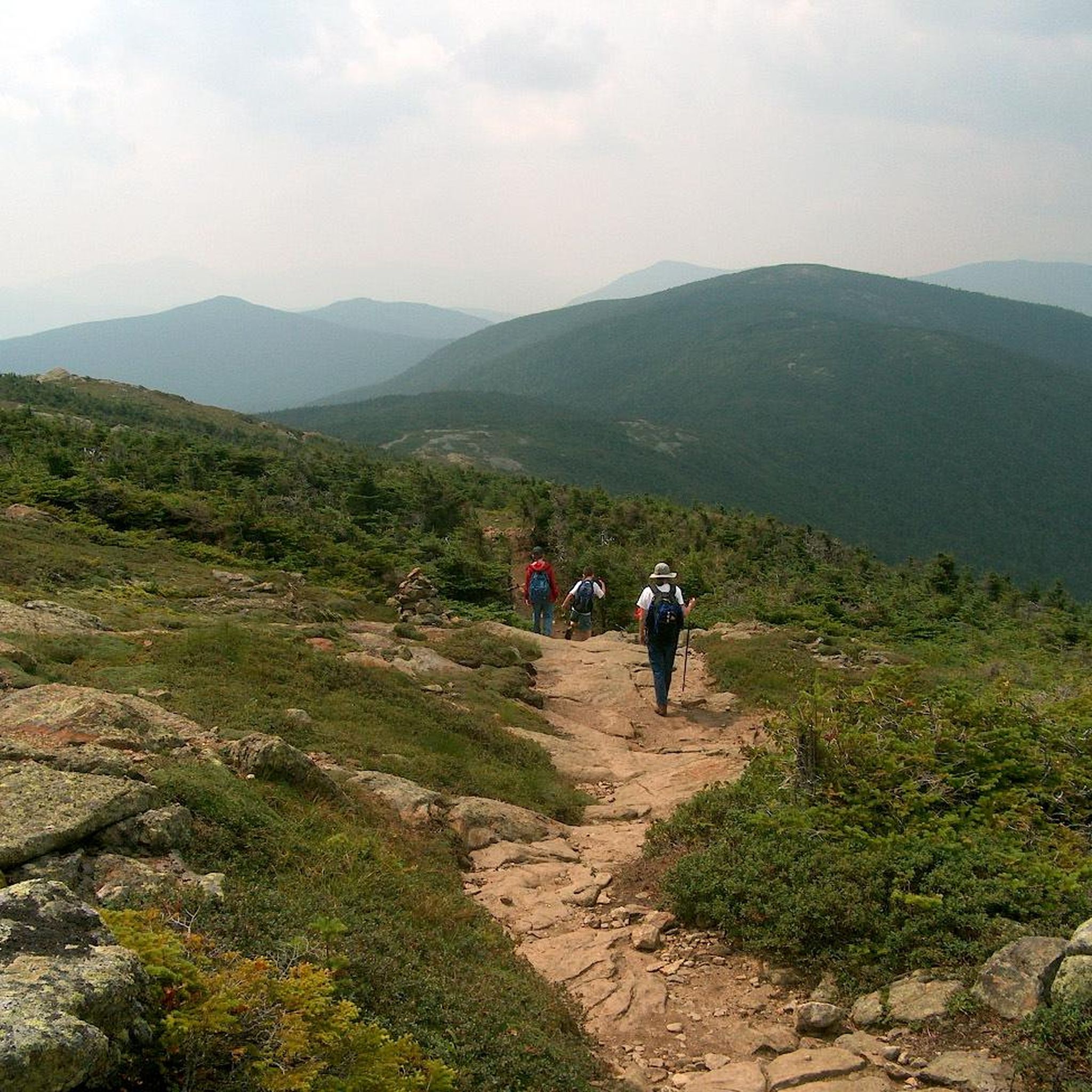
Hiking in Presidential Range-Dry River Wilderness
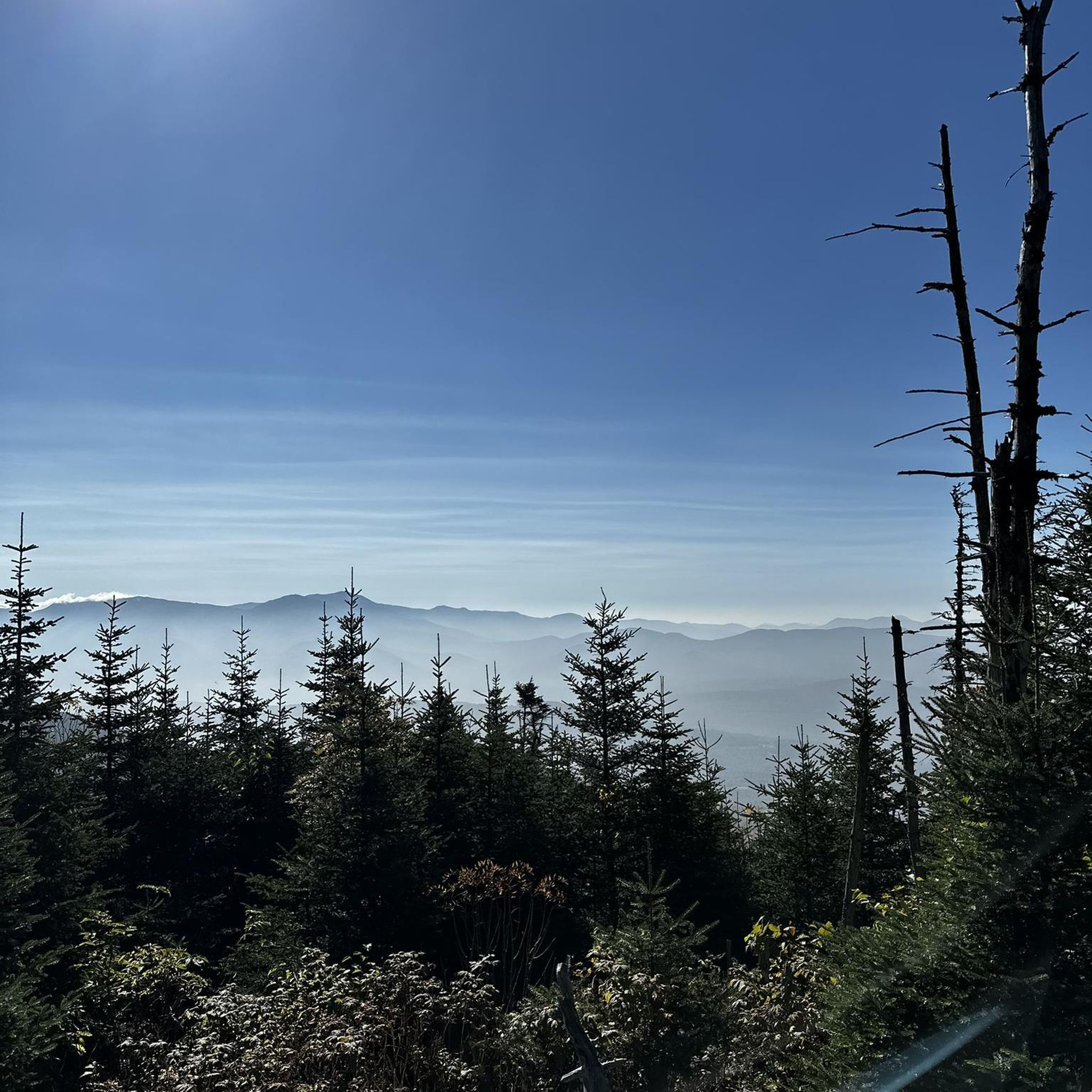
Hiking around Berlin
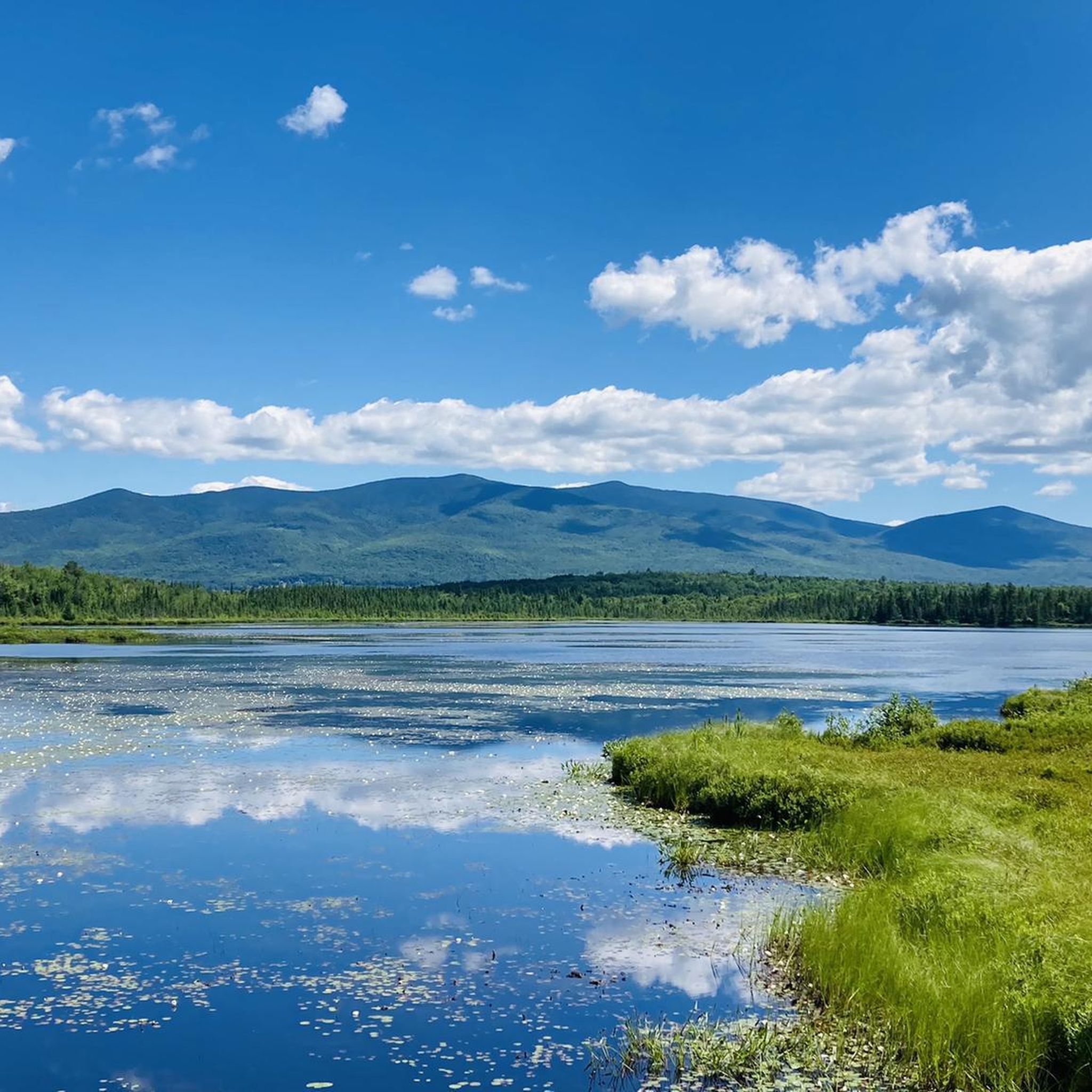
Hiking in Pondicherry Division Of The Silvio O. Conte National Fish And Wildlife Refuge

Hiking in Devil'S Slide State Forest

Hiking around Whitefield
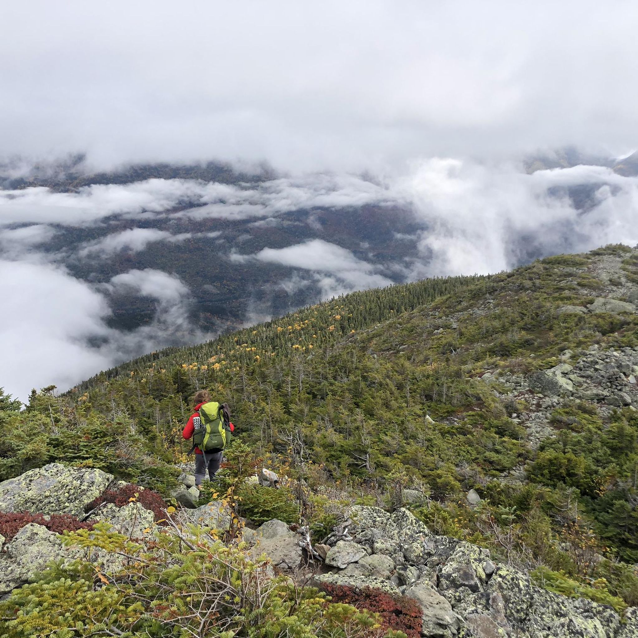
Hiking in Moose Brook State Park
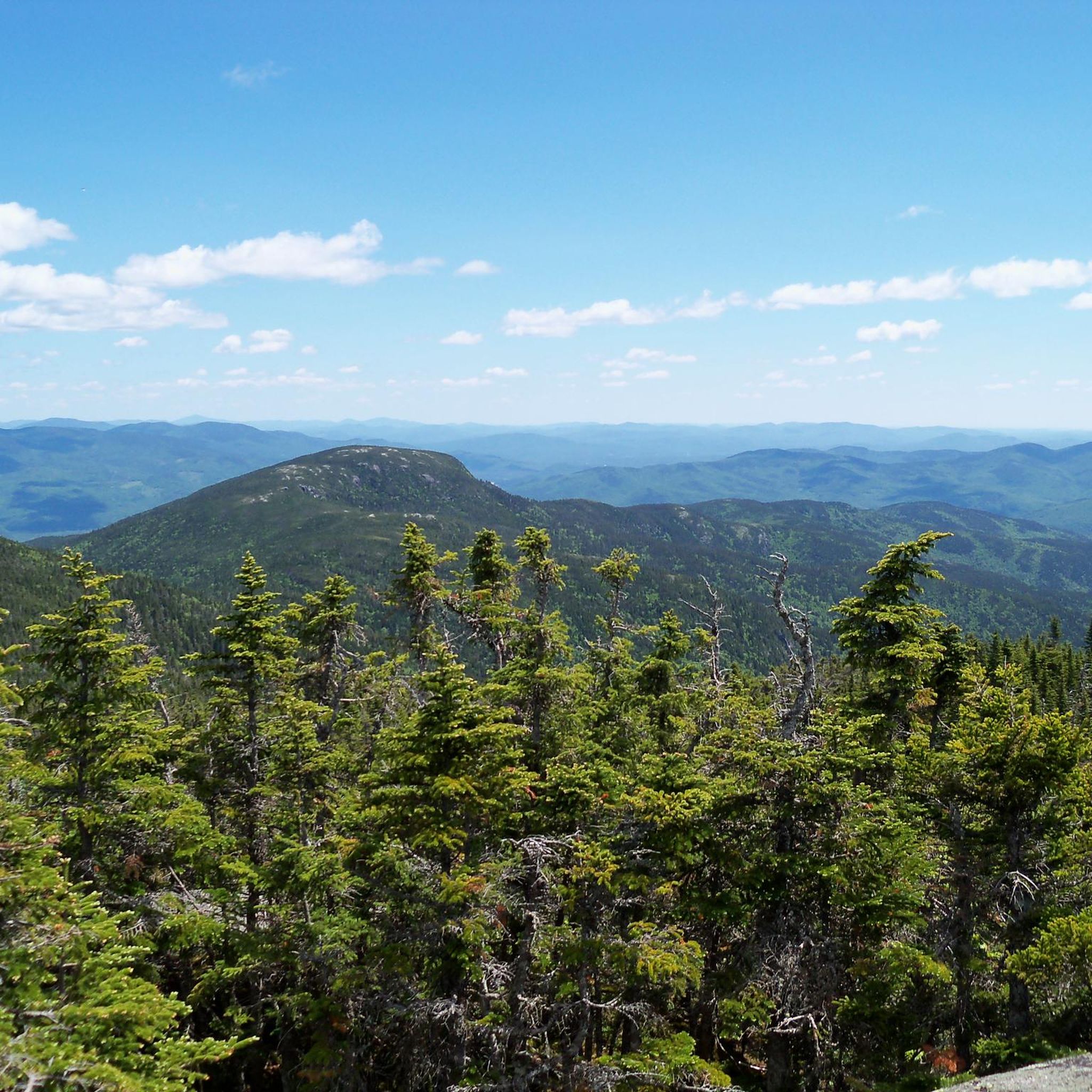
Hiking around Gorham
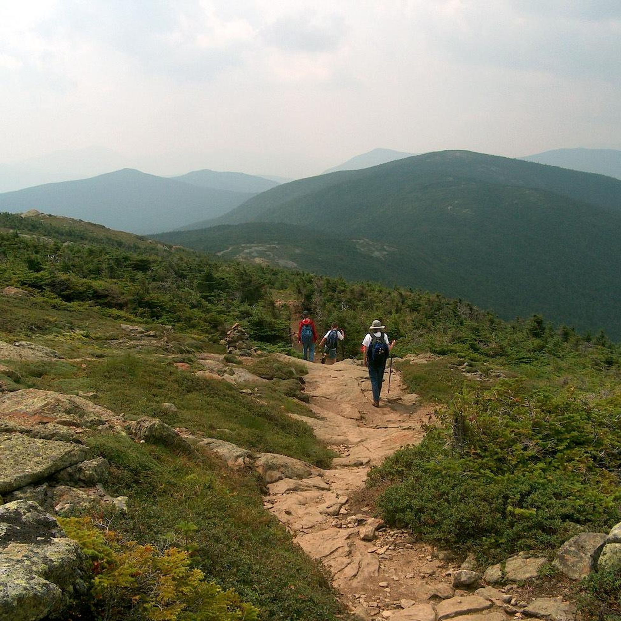
Hiking in Great Gulf Wilderness
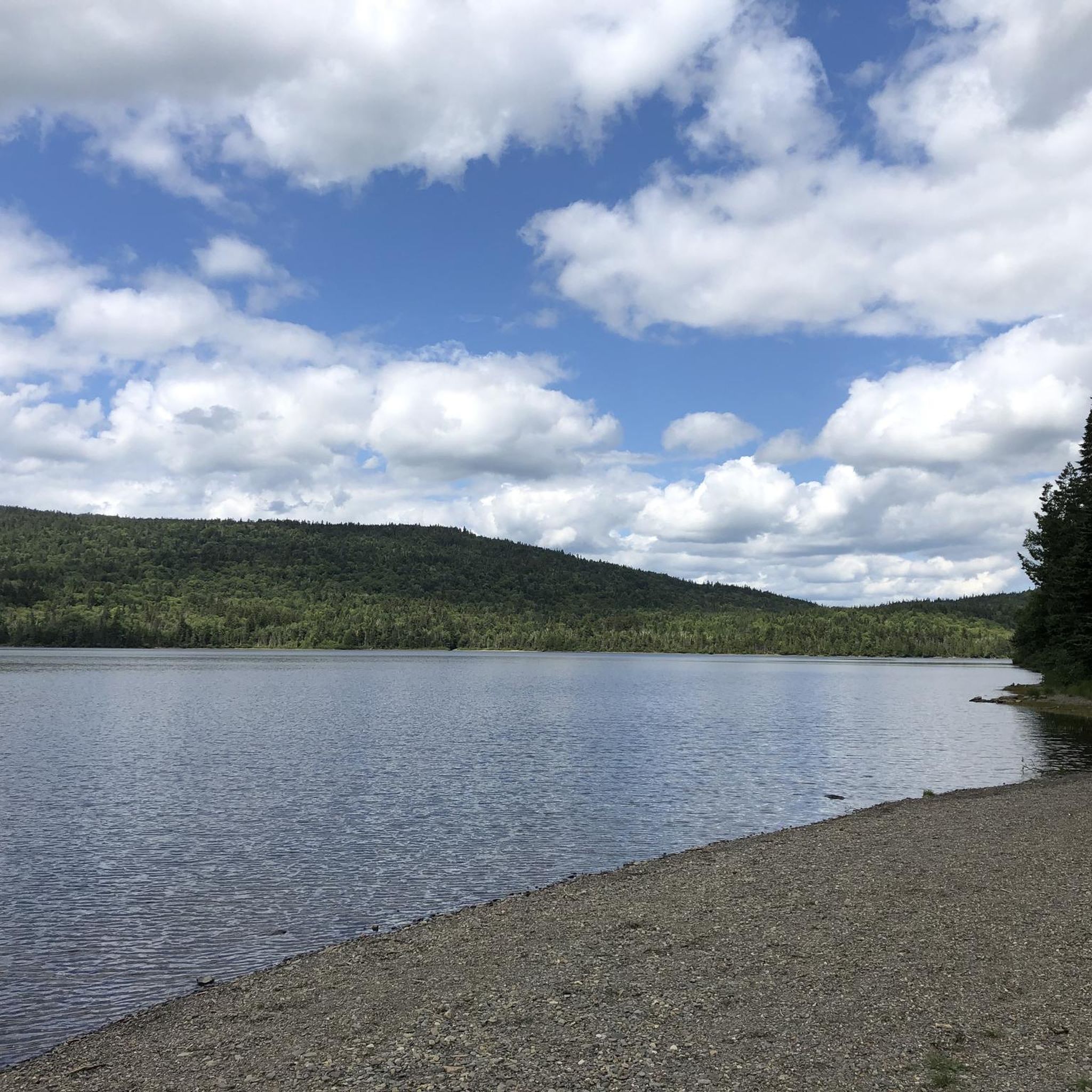
Hiking in Connecticut Lakes State Forest

Other adventures in Coos County

The Appalachian Trail — America's most iconic long-distance hike

Hiking Collection by

Jamie S.

Tips from the Community

Jamie S.
July 10, 2025, Mount Franklin

Mount Franklin, at 5,003 feet, sits between Mount Monroe and Mount Eisenhower on the southern Presidential Ridge. Though it doesn't officially count toward the AMC’s 4,000-Footer list due to its lack of prominence, it still offers an alpine experience with sweeping views in all directions. The summit is broad and open, with low vegetation and a windswept feel that makes it a striking spot to pause for a sip of water and a breather between peaks. Most hikers pass over Franklin while on the Crawford Path often without realizing it’s a named summit! Regardless, its still a great summit to tick off, especially if trying to bag all the named peaks within the Presidential Range.

0

0

Jamie S.
July 10, 2025, Mount Pierce

Mount Pierce stands at 4,310 feet and is toward the southern end of the Presidential Range. From its summit, you get sweeping views north toward Mount Eisenhower and Mount Washington from a mix of alpine scrub and rocky ledges. Named after Franklin Pierce, the only U.S. president from New Hampshire, it’s a must stop if tagging all the peaks along on the Presidential Traverse, or those looking for a challenging day hike.

1

0

Lake of the Clouds Hut is the highest and one of the most iconic of the AMC’s backcountry huts. Perched at 5,012 feet between Mount Monroe and Mount Washington, it offers stunning alpine views, dramatic sunsets, and a front-row seat to the Presidential Range’s famously unpredictable weather. It's a great place to stop and refill water bottles or shelter from the weather on a day hike or an iconic (and popular!) place to spend the night. The hut is full-service during the summer and early fall, with bunk accommodations, family-style dinner and breakfast, potable water, and composting toilets. It sleeps over 90 hikers and is a popular overnight stop for those tackling the Presidential Traverse. Reservations are essential and fill quickly.

1

0

Nestled in the White Mountain National Forest, the Mizpah Spring Hut is a cozy stop for hikers exploring the Presidential Range. Offering bunk accommodations, hearty meals, and potable water, it’s a great place to rest and recharge while enjoying breathtaking views of the surrounding mountains. Whether you're tackling a challenging trail or looking for a serene overnight retreat, this Appalachian Mountain Club hut is a memorable part of any White Mountains adventure.

0

0

Great view, be sure to pack a snack. The spot invites you to linger.

Translated by Google

0

0

Zachary
September 25, 2024, Mount Washington Summit

Washington is the most prominent mountain in the eastern U.S. and an absolutely incredible peak to bag. This is easily one of the best summits in New England. It is also the most dangerous if you come unprepared, especially in the winter. Washington creates its own rapidly changing weather system and is known for being the deadliest small mountain in the world. The second-fastest wind speed on earth was recorded here at over 230mph. That said, a quarter million people visit Washington every year, and if you come prepared and respect the mountain you have nothing to fear and are guaranteed to have an epic summit.

0

0

Dress warmly. Snow season begins July 1 and ends June 30. We were at 68 mph at the summit. Keeping your hat on is a good idea. Two days ago, when we were last up there, it was 73 degrees Fahrenheit and the wind was blowing lightly around 23 mph. Mt. Washington is the highest peak within 1,000 miles, making it an exposed location with what the US Weather Service calls the worst and most surprising weather in the world.

Translated by Google

0

0

Nice stop at mountain lakes

Translated by Google

0

0

Frequently Asked Questions

Are there many hiking trails in Coos County?

Yes, there's a wide variety of trails to explore. You can find over 190 routes on komoot, ranging from 29 easy walks suitable for all fitness levels to 85 difficult hikes for experienced adventurers.

What are some good family-friendly hikes in the area?

Coos County offers several great options for families. The trails within Sunset Bay State Park are a popular choice, offering protected sandy beaches and tide pools to explore. The area around the formal gardens at Shore Acres State Park also provides gentle paths with beautiful scenery.

Can I bring my dog on the trails?

Dog-friendliness varies by park. While many trails in national forests are welcoming to dogs on a leash, some specific areas like the formal gardens at Shore Acres State Park do not permit them. Always check the regulations for the specific park or trail you plan to visit before you go.

Are there any impressive waterfall hikes in Coos County?

Absolutely. For a memorable waterfall experience, head to Golden and Silver Falls State Natural Area. This highly-regarded spot features trails leading to stunning 100-foot waterfalls in a lush, remote canyon. It's a bit of a drive from the coast but well worth the trip for the spectacular views.

What's a good option for a challenging day hike?

For a strenuous but rewarding challenge, consider the Starr King Trail — White Mountain National Forest. This difficult 6.6-mile (10.6 km) hike involves significant elevation gain and is a solid test of endurance, rewarding hikers with fantastic views.

Where can I find the best coastal views while hiking?

The trail system connecting Sunset Bay, Shore Acres, and Cape Arago State Parks is famous for its dramatic coastal scenery. The Mount Jackson & Mount Webster loop offers spectacular ocean vistas and opportunities to see crashing waves and watch for wildlife along the headlands.

What do other hikers think of the trails in Coos County?

The region is highly rated by the komoot community, with an average score of 4.7 out of 5 stars. Hikers frequently praise the incredible diversity, from the rugged coastline and sandy dunes to the serene inland forests and waterfalls.

Are there any good circular or loop hikes?

Yes, there are several excellent loop trails. A great moderate option is the Mount Tom, Field, and Willey loop from the Mount Willard Trailhead. This 9-mile (14.5 km) route takes you through varied forest terrain in the White Mountains, making for a comprehensive day out.

What is the best time of year to hike in Coos County?

Late spring through early fall generally offers the most pleasant weather for hiking, with warmer temperatures and less rain. However, the Oregon Coast can have unpredictable weather year-round, so it's always wise to pack layers. The winter months can be a dramatic time to visit for storm watching, especially from viewpoints in places like Shore Acres State Park.

What are some popular places for hiking in Coos County?

Several state parks are local favorites and serve as major hiking hubs:

  • Shore Acres State Park: Famous for its stunning formal gardens perched on a cliffside with dramatic ocean views.
  • Cape Arago State Park: A scenic headland perfect for spotting sea lions, whale watching in season, and exploring tide pools via cove trails.
  • Sunset Bay State Park: Offers a beautiful sandy beach protected by sea cliffs, making it ideal for easier walks and beachcombing.
  • Golden And Silver Falls State Natural Area: A beloved destination for its powerful waterfalls and lush canyon trails.

Are there any accessible trails for wheelchairs or strollers?

Some parks offer paved or relatively flat paths suitable for wheelchairs and strollers. The formal gardens at Shore Acres State Park have accessible pathways that allow visitors to enjoy the beautiful plantings and ocean views. It's always best to check with the specific park for the most current information on trail accessibility.

What kind of terrain should I expect on the trails?

The terrain is incredibly diverse. Along the coast, you'll find sandy beaches, rocky headlands, and forested cliffside trails. Inland, you can hike through estuaries and wetlands at the South Slough Reserve, or explore deep canyons with old-growth trees at Golden and Silver Falls. For a unique experience, the Oregon Dunes National Recreation Area offers challenging hikes over vast sand dunes.

Most popular routes in Coos County

Waterfall hikes in Coos County

Most popular attractions in Coos County

Places to see

Store rating

Get inspired with the komoot mobile app

With a free komoot account, you can easily find, customize, and navigate endless outdoor adventures.

or

Join komoot Now

Store rating

Didn’t find what you were looking for?

Check out more Hikes throughout Coos County below and find the perfect route in your destination.

Presidential Range-Dry River WildernessWild River WildernessConnecticut Lakes State ForestPondicherry Division Of The Silvio O. Conte National Fish And Wildlife RefugeBerlinGorhamDevil'S Slide State ForestGreat Gulf WildernessWhitefieldFrench Wildlife RefugeMoose Brook State Park

Nearby adventure guides

Things to Do in Devil'S Slide State Forest

background

Get ready to conquer new peaks

Sign up for Free

Explore
RoutesRoute plannerFeaturesRedeem a voucherHikesMTB TrailsRoad cycling routesBikepackingSitemap
Download the app
Follow Us on Socials

© komoot GmbH

Privacy Policy