The best hikes from bus stations in Grafton County
4.7
(795)
12,809
hikers
14
hikes
Bus station hiking trails in Grafton County, New Hampshire, offer access to a diverse landscape characterized by mountainous terrain, dense forests, and prominent granite formations. The region includes parts of the White Mountain National Forest and Franconia Notch State Park, providing a variety of natural features for hikers. These trails often follow river valleys, lead through woodlands, and offer views of the surrounding hills and natural attractions.
Best bus station hiking trails in Grafton County
- The most popular bus station hiking route is Velvet Rocks and Appalachian Trail Loop, a 2.7 miles (4.3 km) trail that takes 1 hour 17 minutes to complete. This easy route features a section of the iconic Appalachian Trail.
- Another top favourite among local hikers is Packard Hill Covered Bridge – Mill Parcel loop from Lebanon, a moderate 7.3 miles (11.8 km) path. This route winds through varied terrain, including a covered bridge and riverside sections.
- Local hikers also love the Franconia Notch – Profile Lake loop from Franconia Notch State Park, a 4.2 miles (6.7 km) trail leading through Franconia Notch State Park, often completed in about 1 hour 49 minutes.
- Hiking in Grafton County is defined by mountainous terrain, dense forests, and river valleys. The network offers options for different ability levels, from easy strolls to moderate paths.
- The routes in Grafton County are highly rated by the komoot community with an average score of 4.7 stars from over 800 reviews. More than 14,000 hikers have used komoot to explore Grafton County's varied terrain.
Last updated: July 8, 2026
8
hikers
4.29km
01:17
140m
140m
Hike the easy 2.7-mile Velvet Rocks and Appalachian Trail Loop in Hanover, featuring mossy granite rocks and mixed forests.
12
hikers
6.45km
01:41
40m
40m
Easy hike. Great for any fitness level. Easily-accessible paths. Suitable for all skill levels.

Sign up for free
4.0
(1)
8
hikers
3.41km
00:56
50m
50m
The River Trail loop from Hanover offers a delightful escape into nature, tracing the banks of the Connecticut River and Mink Brook. You'll wander through tall pine trees, encounter sections with timber steps, and enjoy picturesque views of Vermont across the river, with the Ledyard Bridge visible upstream. Along Mink Brook, the scenery shifts to a serene pine forest dotted with moss-covered logs and rocks, creating a tranquil atmosphere for your walk.
This easy 2.1-mile (3.4 km) hiking route, with a gentle 172 feet (53 metres) of elevation gain, takes approximately 55 minutes to complete. While mostly flat, there is one steep hill with steps near the Maple Street connection, adding a moderate challenge to an otherwise easy path. The trail is dog-friendly, allowing your leashed companion to join you, and parking is generally available near the trailhead.
One of the key features of this trail is its continuous riverside location, providing constant scenic beauty. It's a relatively short and accessible loop, making it ideal for a quick outing. However, depending on wind direction, you might notice some odors from a nearby wastewater treatment plant, particularly near the mouth of Mink Brook.
6
hikers
6.69km
01:49
100m
100m
Easy hike. Great for any fitness level. Easily-accessible paths. Suitable for all skill levels.
6
hikers
11.8km
03:05
80m
80m
Moderate hike. Good fitness required. Easily-accessible paths. Suitable for all skill levels.
Get access to more routes and recommendations from other explorers.
Sign up for free
Already have an account?
Our route recommendations are based on thousands of hikes, rides, and runs completed by other people on komoot.
Start today with a free account
Your next adventure awaits.
Login or Signup
Popular around Grafton County

Hikes from bus stations in White Mountain National Forest

Hikes from bus stations around Hanover

Hikes from bus stations around Lebanon

The Appalachian Trail — America's most iconic long-distance hike
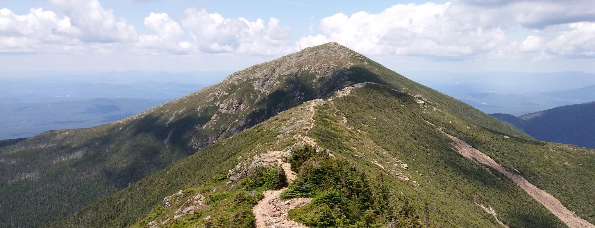
Pemigewasset Loop — A White Mountains classic I keep coming back to
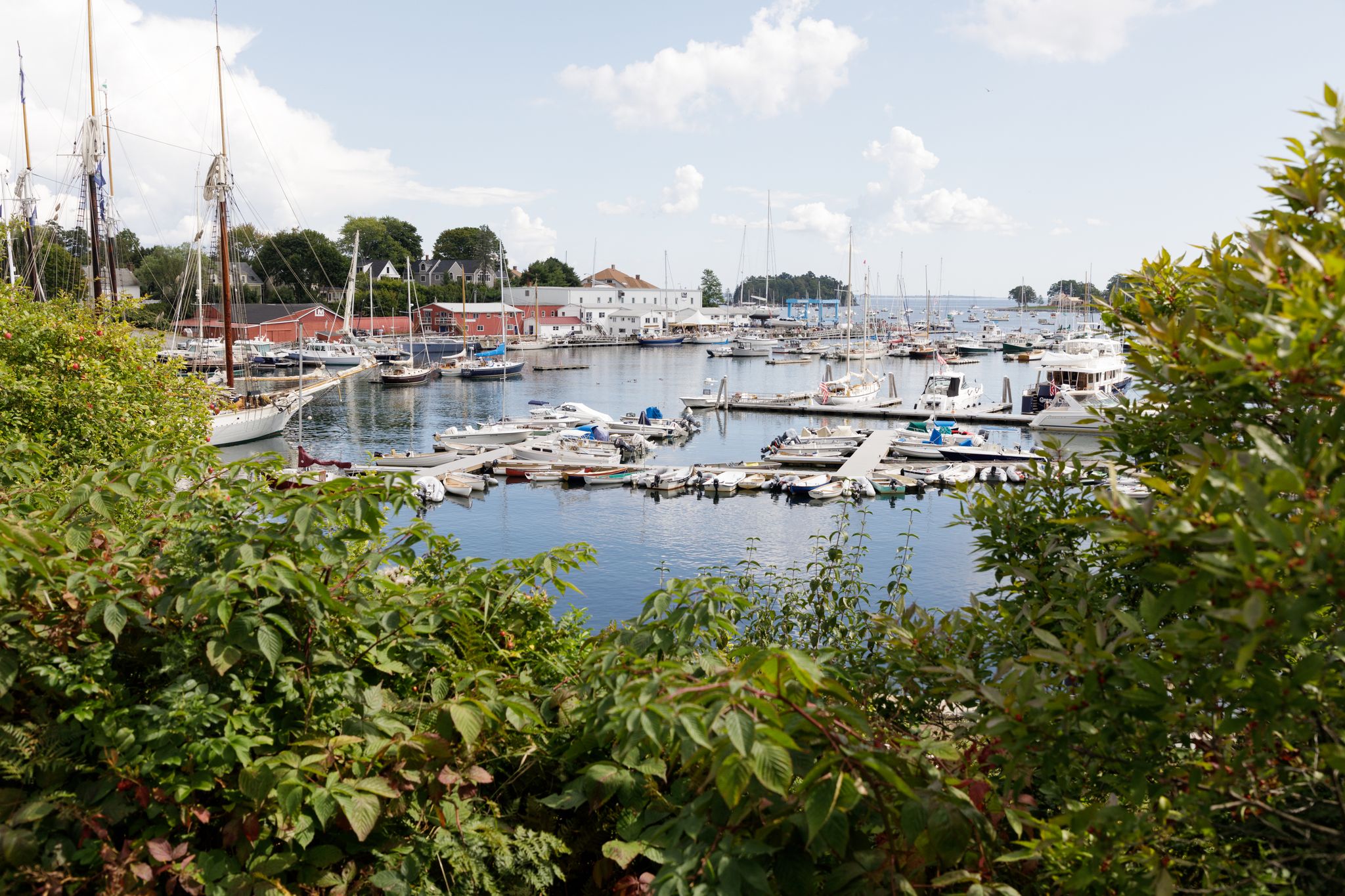
New England – vibrant cities, picturesque coastlines and wild mountain landscapes
Other adventures in Grafton County


Tips from the Community

Located over the old junction between the Mascoma River and Mink Brook, this park at Lebanon downtown is the ideal place to relax short after your arrival in the city. Benches, a fountain in the middle, and a stage makes the perfect scenario for a warm late summer afternoon.
0
0
Mill Parcel is a lovely picnic area located at the Northern Rail Trail by Mascoma River, very near to Mascoma Lake. It is immersed in an extremely green forest, and it's accessible either through the trail or by car, since there is a parking lot at the entrance.
0
0

The Packard Hill Covered Bridge is a historic covered bridge in Lebanon, New Hampshire. This bridge is one of 54 remaining covered bridges in the state and a local historical landmark.
0
0

Full of history, this area features remnants of an 18th-century slate mill and the Rail Trail, where you can observe remains of the railroad. The Mascoma River runs alongside, providing stunning views of the water.
0
0

Profile Lake is a 13-acre lake in the White Mountains at the foot of Cannon Mountain. This lake is named after a rock formation that collapsed in 2003.
0
0
Franconia Notch is a mountain pass that tops out at 1,950 feet in elevation. You can take Franconia Notch Parkway (Interstate 93 and U.S. Route 3) over the pass with Cannon Mountain to the west and Mount Lafayette to the east.
0
0

This very short section of the 2,200 miles long Appalachian Trail, leads through the southwesternmost section of the White Mountain National Forest. No matter if you're only planning to do a little hike around Hanover or plan on hiking for multiple days, enjoy the tranquil walk through the woods.
0
0
River Trail takes you on a nice stroll along Mink Brook until you reach the Connecticut River. During your walk you can enjoy plenty of great views of the two rivers and once you reach the end of the marked trail, there is a little swimming area to refresh yourself in the river.
0
0
Frequently Asked Questions
How many hiking trails are accessible directly from bus stations in Grafton County?
There are over 10 dedicated hiking routes in Grafton County that are easily accessible from local bus stations. These trails offer a convenient way to explore the region's natural beauty without needing a car.
Are there any easy, family-friendly hikes from bus stations?
Yes, several easy routes are perfect for families. The River Trail loop from Hanover is a gentle 3.4 km walk along the river, and the Franconia Notch – Profile Lake loop offers scenic views within Franconia Notch State Park, both easily reachable by bus.
Can I bring my dog on these bus station accessible trails?
Many trails in Grafton County are dog-friendly, but it's always best to check specific park or trail regulations before you go. Generally, dogs are welcome on leash. For example, the Velvet Rocks and Appalachian Trail Loop is a popular choice for hikers with dogs.
What kind of natural attractions can I expect to see along these routes?
Grafton County is rich in natural beauty. Depending on the route, you might encounter stunning waterfalls like Arethusa Falls or the unique geological formations of the Flume Gorge. Many trails also lead to picturesque lakes such as Lonesome Lake or offer panoramic views from spots like Artist's Bluff.
Are there any circular hiking routes available from bus stations?
Absolutely. Many of the bus-accessible trails are designed as loops for convenience. The Hanover – Hanover, New Hampshire loop is a great example of a circular route that brings you back to your starting point, ideal for public transport users.
What is the best time of year to hike in Grafton County from bus stations?
The best time to hike is typically from late spring through fall (May to October). Summer offers lush greenery, while autumn provides spectacular fall foliage. Some trails may be accessible in winter for snowshoeing or cross-country skiing, but conditions can be challenging and require appropriate gear.
Are there any longer, more challenging routes accessible by bus?
While many bus-accessible routes are easy to moderate, some offer a longer experience. The Packard Hill Covered Bridge – Mill Parcel loop from Lebanon is a moderate 11.8 km route, providing a more extended adventure through varied terrain.
What do other hikers say about the bus station trails in Grafton County?
The komoot community highly rates the hiking experience in Grafton County, with an average score of 4.7 out of 5 stars. Hikers frequently praise the well-maintained paths, the stunning natural scenery, and the convenience of accessing these trails via public transport.
Are there any permits or fees required for hiking these trails?
Most trails in Grafton County, especially those accessible from bus stations, do not require specific hiking permits for day use. However, some state parks or specific attractions like the Flume Gorge may have entrance fees. It's always good to check the official website for Franconia Notch State Park or the White Mountain National Forest for the latest information.
What should I pack for a bus station hike in Grafton County?
Even for shorter hikes, it's wise to pack essentials like water, snacks, a map or GPS device (like komoot's app), appropriate footwear, and layers of clothing suitable for changing weather conditions. Sun protection and insect repellent are also recommended, especially during warmer months.
Are there any less crowded hiking options near bus stations?
While popular spots can get busy, many trails offer a sense of solitude. Exploring routes during off-peak hours (early mornings or weekdays) or choosing slightly longer, moderate trails can often lead to a more peaceful experience. The Velvet Rocks and Appalachian Trail Loop, while well-known, can offer quieter sections.
Most popular routes in Grafton County
Most popular attractions in Grafton County

Get inspired with the komoot mobile app


Didn’t find what you were looking for?
Check out more Hikes throughout Grafton County below and find the perfect route in your destination.
Explore more
Browse the best Hikes in other regions.
