The best hikes from bus stations around El Valle de Cofrentes-Ayora
4.6
(321)
1,894
hikers
31
hikes
Bus station hiking trails around El Valle de Cofrentes-Ayora traverse a landscape characterized by high mountains, including Pico Palomera at 1,260 meters, and deep river canyons carved by the Júcar and Cabriel rivers. The region features extensive pine forests, unique geological formations like the Agrás Volcano, and dramatic cliffs such as Peña del Buitre. Hikers can explore diverse terrains ranging from forest tracks to paths alongside rivers and through canyons.
Best bus station hiking trails around El Valle de Cofrentes-Ayora
…Last updated: August 17, 2026
5.0
(1)
20
hikers
4.53km
01:22
150m
150m
Easy hike. Great for any fitness level. Easily-accessible paths. Suitable for all skill levels.
5.0
(1)
7
hikers
7.44km
02:04
130m
130m
Moderate hike. Good fitness required. Easily-accessible paths. Suitable for all skill levels.

Sign up for free
5.0
(6)
11
hikers
11.4km
03:04
140m
140m
Moderate hike. Good fitness required. Easily-accessible paths. Suitable for all skill levels.
4.0
(5)
4
hikers
9.77km
02:47
210m
220m
Moderate hike. Good fitness required. Easily-accessible paths. Suitable for all skill levels.
4.0
(1)
7
hikers
6.53km
01:49
120m
120m
Easy hike. Great for any fitness level. Easily-accessible paths. Suitable for all skill levels.
Get access to more routes and recommendations from other explorers.
Sign up for free
Already have an account?
Our route recommendations are based on thousands of hikes, rides, and runs completed by other people on komoot.
Start today with a free account
Your next adventure awaits.
Login or Signup
Popular around El Valle de Cofrentes-Ayora

Hikes from bus stations in Embalse De Embarcaderos
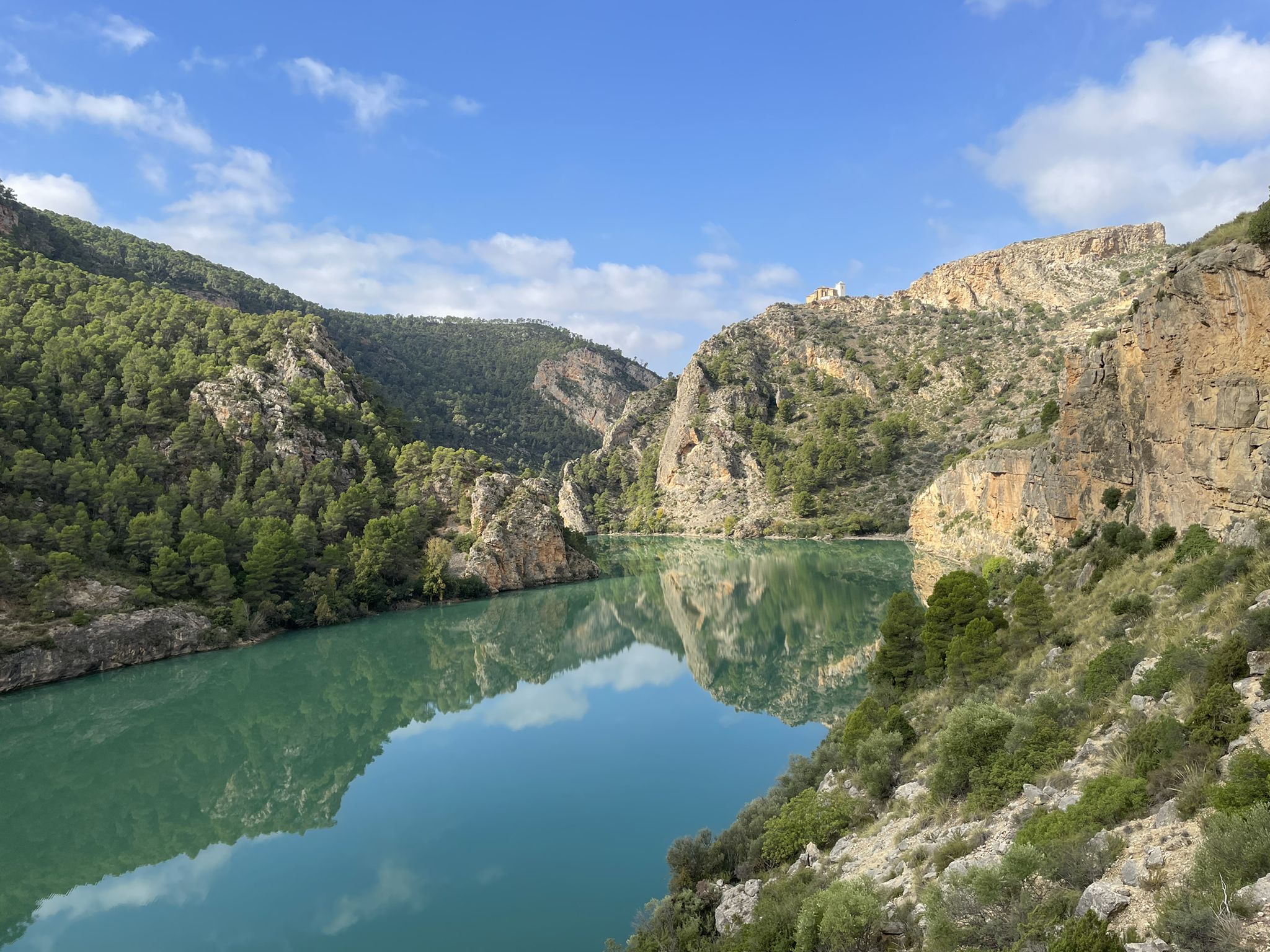
Hikes from bus stations in Laguna De San Benito
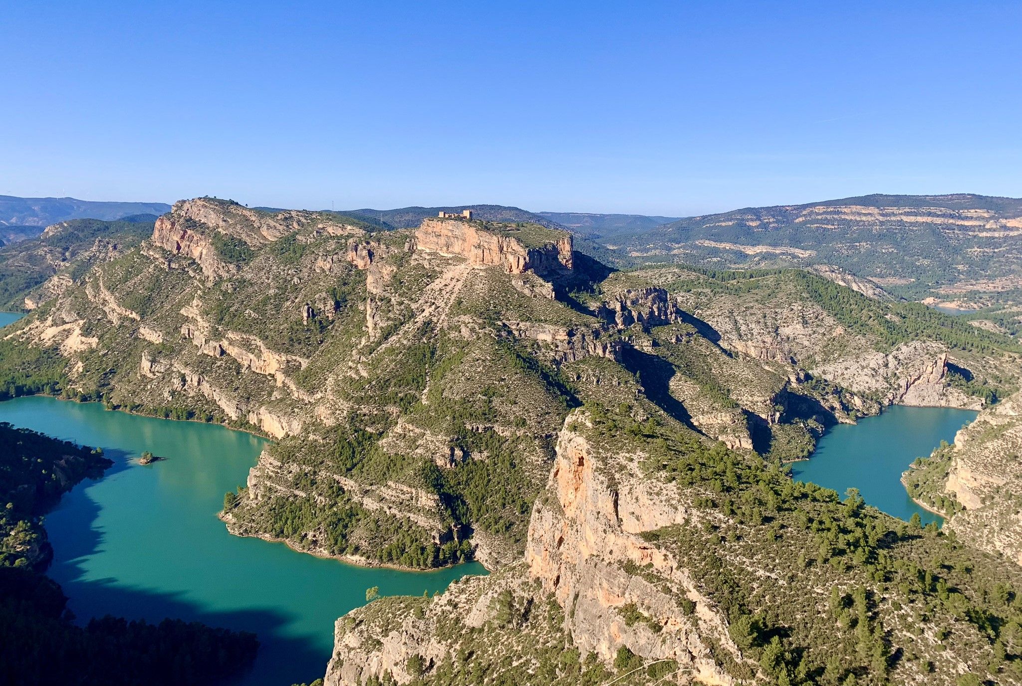
Júcar River gorge – Molinar reservoir and the Boquerón mountain range
A journey full of discoveries – the Valencia region on foot (GR7)
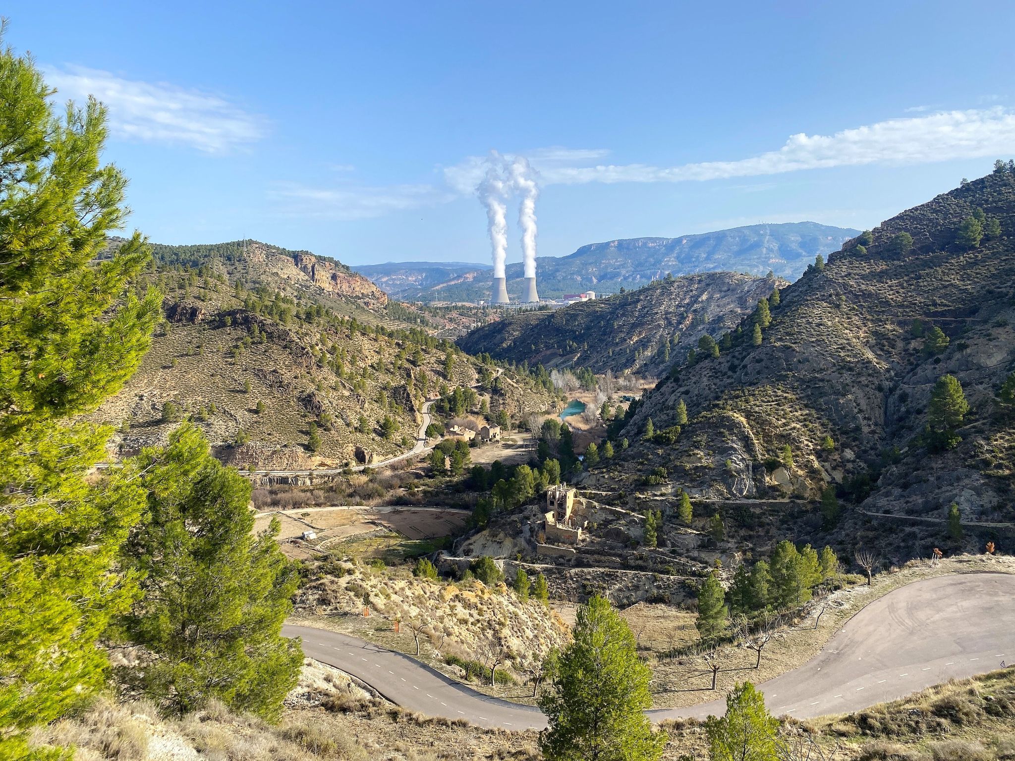
Where water shapes the landscape – Cofrentes and Cortes de Pallás
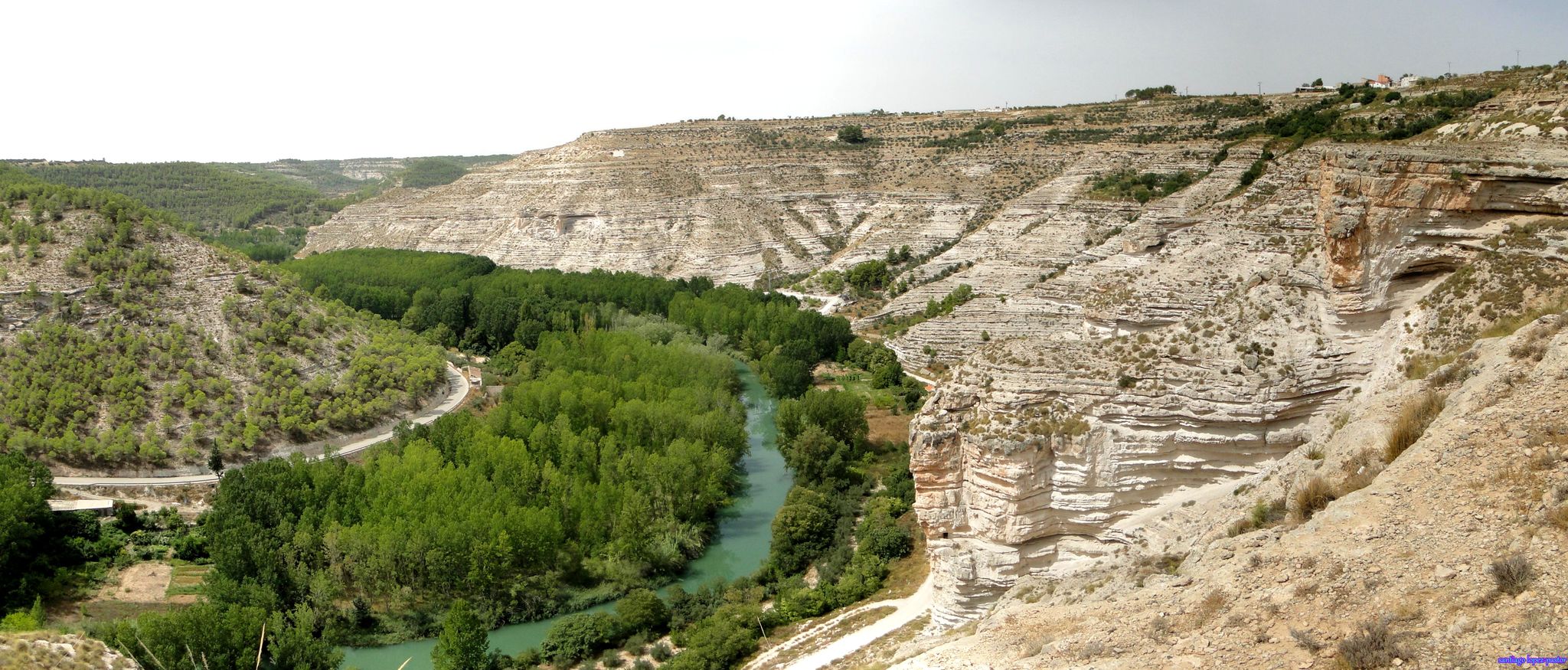
Explore Spain’s Júcar River by bike

Explore the Betic Mountains on two wheels – Altravesur
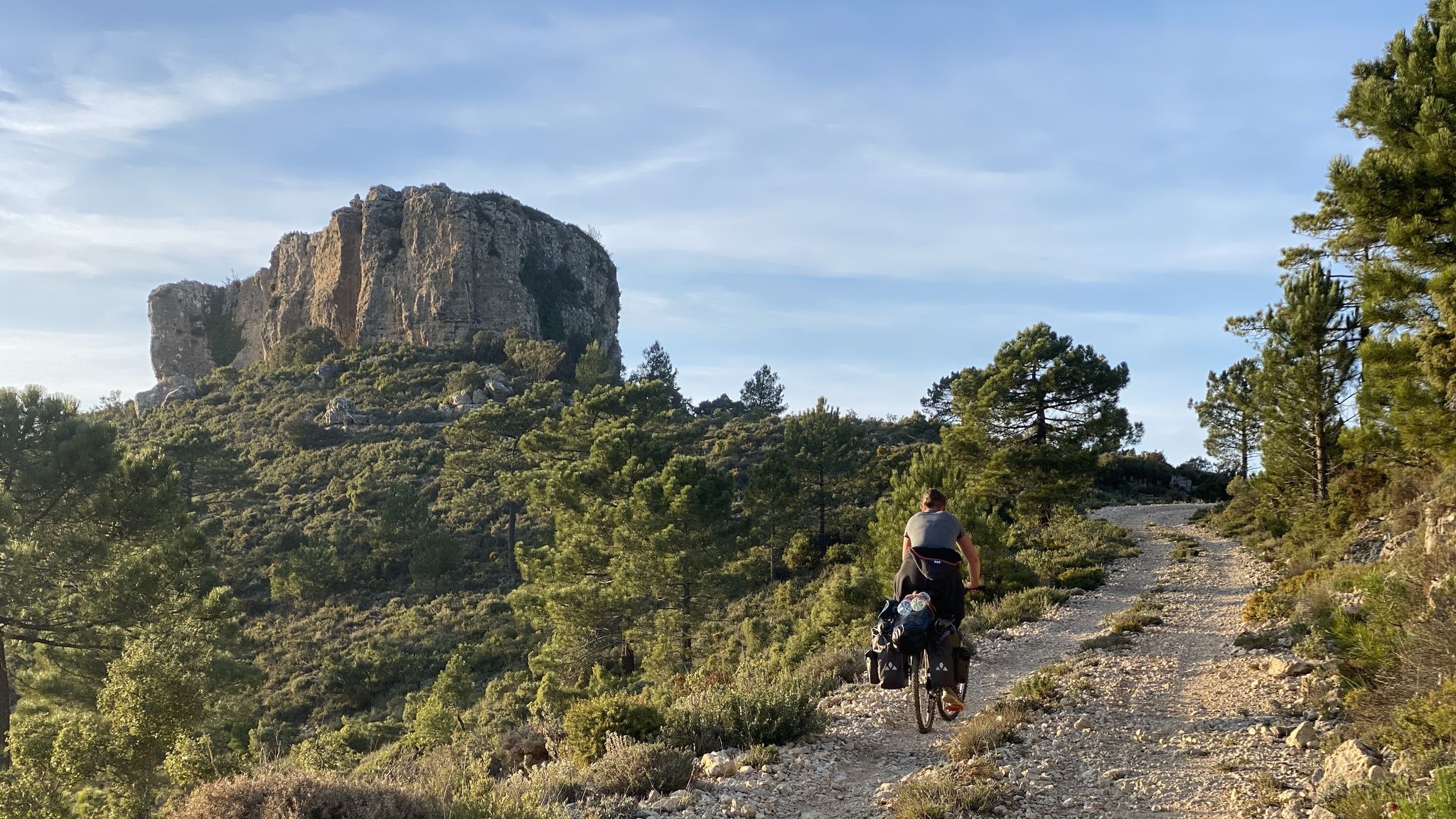
The unknown face of Valencia – Caroig Massif
Other adventures around El Valle de Cofrentes-Ayora


Tips from the Community

Cozy village cafe with delicious coffee.
9
0
Centrally located behind the church on a small square
10
0

Here begins the climb to Alto de Alcola. The climb is all paved and has gradients of up to 15%. The last curves are very hard but once at the top the views of the path travelled are amazing.
3
0
Jarafuel is located on the Castle Route in a beautiful wild nature. The ruins and castles have history with Templars, Romans, Moors etc. and are usually located on beautiful viewpoints.
27
0
Ayora is located on the castle route. Some castles are ruins, others have been beautifully restored. The region is wild, mountainous, with valleys and rivers.
1
0

Most of Jarafuel sits on a hill above the ruins of an Arab castle, transformed into a hermitage. The upper streets are irregular but the lower part of the town is flat and here is the Fuente del Jarral, an important part of the history of this town.
6
0
Ayora is an important town in the province of Valencia and is the capital of the Valle de Ayora region. It has a beautiful historic center that dates back to the 13th century.
0
0

This path connects the river with the road along the hillside. There is a bit of loose stone and streaks in some sections, but it does not have any technical difficulties.
0
0
Frequently Asked Questions
How many bus-accessible hiking trails are available in El Valle de Cofrentes-Ayora?
There are over 20 hiking trails in El Valle de Cofrentes-Ayora that are easily accessible from bus stations. These routes offer a mix of easy and moderate options, ensuring there's something for every hiker.
Are there easy bus-accessible trails suitable for beginners or families?
Yes, several easy routes are perfect for beginners or families. For instance, the Plaza Mayor – Ayora Castle loop from Ayora is an excellent choice, offering a gentle 6.8 km walk with minimal elevation gain, allowing you to explore the charming town of Ayora and its historic castle.
Can I find circular routes starting directly from bus stations?
Absolutely. Many of the trails are designed as circular routes, bringing you back to your starting point near the bus station. The Fuente de la Pinada loop from Jalance is a great example, offering a 7.4 km moderate hike that returns to Jalance.
What kind of landscapes can I expect on these bus-accessible trails?
The trails accessible by bus in El Valle de Cofrentes-Ayora traverse a diverse and rugged landscape. You can expect to see dramatic mountains like the El Caroche massif, picturesque river valleys carved by the Júcar and Cabriel, extensive pine forests, and unique geological formations. Many routes offer panoramic views of these natural features.
Are there any historical or natural landmarks near the bus station trails?
Yes, the region is rich in landmarks. You can explore the impressive Cofrentes Castle, witness the dramatic Peña del Buitre within the Júcar canyon, or discover the unique Canyons and Tunnels of the Júcar. Many routes will bring you close to these points of interest.
Are the bus-accessible trails suitable for dogs?
Most trails in El Valle de Cofrentes-Ayora are generally dog-friendly, but it's always recommended to keep your dog on a leash, especially in areas with wildlife or near livestock. Ensure you carry enough water for both yourself and your pet, as water sources can be scarce on some routes.
What is the best time of year to hike these trails from bus stations?
The best time to hike in El Valle de Cofrentes-Ayora is typically during spring (March to May) and autumn (September to November). During these seasons, the weather is milder, and the natural scenery is at its most vibrant. Summer can be very hot, making early morning or late afternoon hikes preferable, while winter can bring cooler temperatures, especially at higher elevations.
Are there options for more challenging hikes accessible by bus?
While many routes are moderate, the region's rugged terrain offers opportunities for more challenging sections. Routes like the Fuente del Jarral – Cafe bar Las Vegas loop from Jarafuel, at nearly 10 km with over 200m of elevation, provide a good workout. For advanced hikers, sections of the GR-7 European long-distance trail also pass through the region, offering more strenuous options.
Can I find places to eat or drink near the bus station trailheads?
Yes, many of the towns and villages that serve as bus stops and trailheads, such as Ayora, Jalance, and Jarafuel, have local cafes and bars where you can grab a refreshment or a meal before or after your hike. It's always a good idea to check opening times, especially in smaller villages.
What do other hikers enjoy the most about hiking in El Valle de Cofrentes-Ayora?
The area is highly rated by the komoot community, with an average score of 4.6 stars. Reviewers often praise the region's diverse and unspoiled natural beauty, the tranquility of the trails, and the impressive river landscapes, particularly around the Júcar and Cabriel rivers. The accessibility from public transport is also frequently highlighted as a major benefit.
Are there any trails that offer river views or access to water for wild swimming?
Many trails follow the course of the Júcar and Cabriel rivers, offering stunning river views. While specific designated wild swimming spots directly from bus-accessible trails are not always explicit, the region's rivers and reservoirs, such as the Embarcaderos Reservoir, provide opportunities to enjoy the water. Always exercise caution and check local regulations before swimming.
What should I wear or bring for hiking these bus-accessible trails?
Given the varied terrain, it's advisable to wear sturdy hiking boots with good ankle support. Layered clothing is recommended to adapt to changing weather conditions, and a waterproof jacket is always a good idea. Don't forget essentials like water, snacks, sun protection (hat, sunscreen), and a fully charged phone. A map or GPS device is also helpful, even on well-marked trails.
Most popular routes around El Valle de Cofrentes-Ayora
Most popular attractions around El Valle de Cofrentes-Ayora

Get inspired with the komoot mobile app


Didn’t find what you were looking for?
Check out more Hikes throughout El Valle de Cofrentes-Ayora below and find the perfect route in your destination.
Explore more
Browse the best Hikes in other regions.
