Easy hikes and walks around El Valle de Cofrentes-Ayora
4.5
(282)
1,793
hikers
66
hikes
Easy hiking trails around El Valle de Cofrentes-Ayora traverse a diverse landscape shaped by the Júcar, Cabriel, and Reconque rivers, featuring dramatic canyons and valleys. The region is characterized by extensive pine forests, including the natural beauty spot of La Hunde, and is framed by the Palomera and Caroche Mountains. Hikers can explore varied terrain, from riverside paths to routes offering views of the higher peaks.
Best easy hiking trails around El Valle de Cofrentes-Ayora
- The most popular easy hiking…
Last updated: July 7, 2026
4.3
(4)
22
hikers
6.86km
01:48
60m
60m
Easy hike. Great for any fitness level. Easily-accessible paths. Suitable for all skill levels.
3
hikers
3.17km
00:50
30m
30m
Easy hike. Great for any fitness level. Easily-accessible paths. Suitable for all skill levels.

Sign up for free
4.0
(1)
1
hikers
6.95km
01:51
70m
70m
This easy 4.3-mile circular hike around Castillo de Ayora offers panoramic views of the valley and town from the medieval castle.
3.0
(1)
7
hikers
5.10km
01:45
250m
250m
Easy hike. Great for any fitness level. Easily-accessible paths. Suitable for all skill levels.
5.0
(2)
9
hikers
5.10km
01:25
100m
100m
Easy hike. Great for any fitness level. Easily-accessible paths. Suitable for all skill levels.
5.0
(1)
10
hikers
6.85km
01:52
100m
100m
Easy hike. Great for any fitness level. Easily-accessible paths. Suitable for all skill levels.
5.0
(2)
8
hikers
4.43km
01:17
110m
110m
Easy hike. Great for any fitness level. Easily-accessible paths. Suitable for all skill levels.
11
hikers
6.98km
01:54
110m
110m
Easy hike. Great for any fitness level. Easily-accessible paths. Suitable for all skill levels.
5.0
(2)
7
hikers
4.71km
01:18
90m
90m
Easy hike. Great for any fitness level. Easily-accessible paths. Suitable for all skill levels.
4
hikers
Easy hike. Great for any fitness level. Easily-accessible paths. Suitable for all skill levels.
Get access to more routes and recommendations from other explorers.
Sign up for free
Already have an account?
Our route recommendations are based on thousands of hikes, rides, and runs completed by other people on komoot.
Start today with a free account
Your next adventure awaits.
Login or Signup
Popular around El Valle de Cofrentes-Ayora

Easy hikes in Laguna De San Benito

Easy hikes in Embalse De Embarcaderos
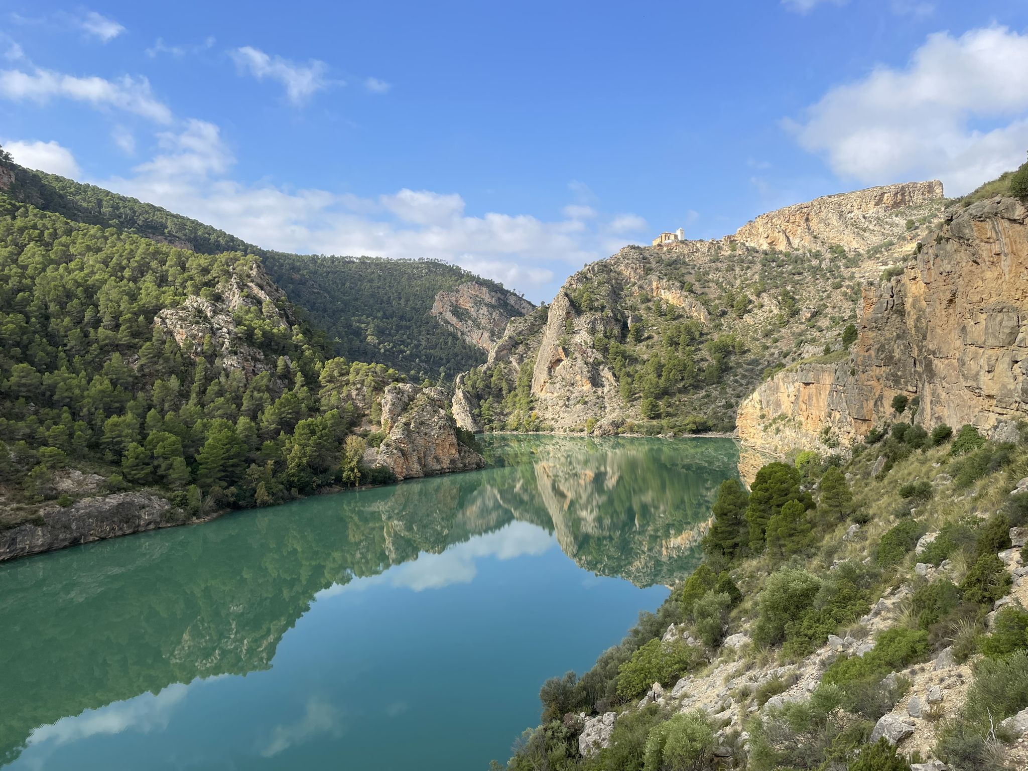
Júcar River gorge – Molinar reservoir and the Boquerón mountain range
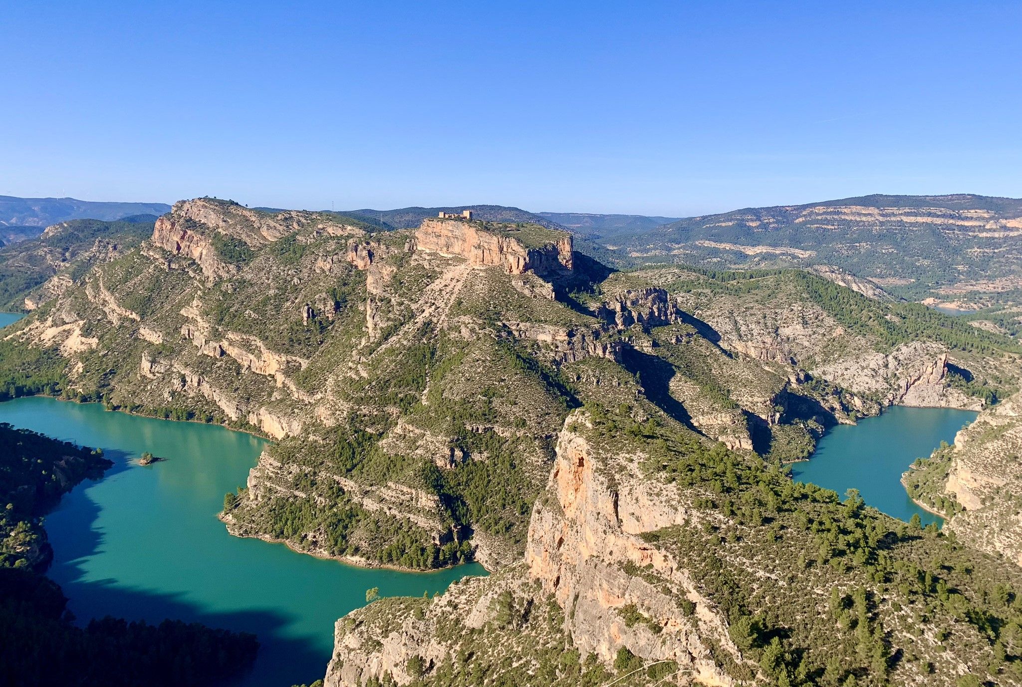
A journey full of discoveries – the Valencia region on foot (GR7)
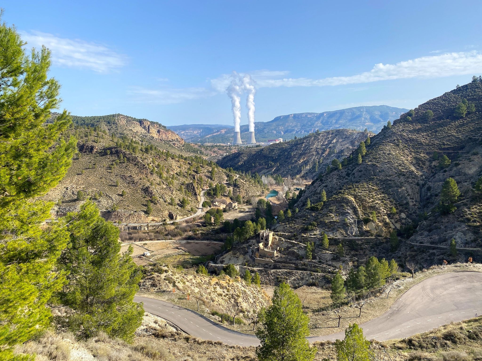
Where water shapes the landscape – Cofrentes and Cortes de Pallás
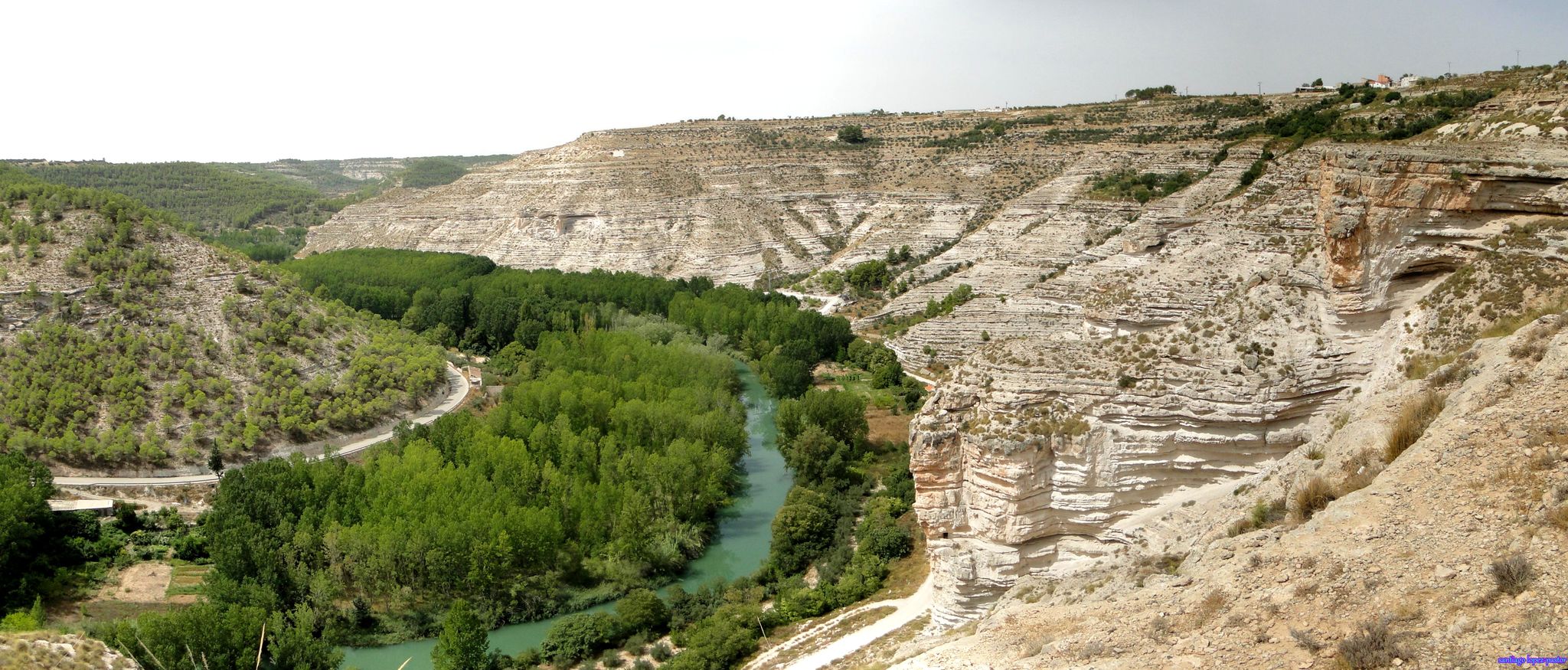
Explore Spain’s Júcar River by bike

Explore the Betic Mountains on two wheels – Altravesur
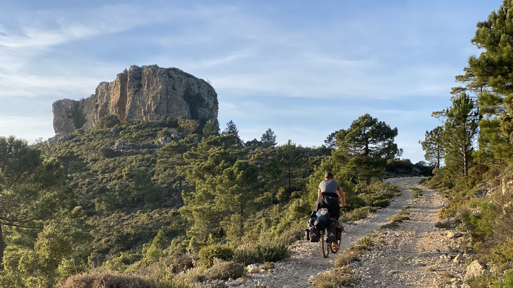
The unknown face of Valencia – Caroig Massif
Other adventures around El Valle de Cofrentes-Ayora


Tips from the Community

Impressive and eye-catching Ruin of Ayora. Despite 350,000 euros EU subsidy, the partially restored building seems permanently closed.
9
1
Impressive building, restorations all around still in full swing. History repeats itself: Christian churches are usually built on a previous or expelled faith, so that it was literally razed to the ground.
7
1
Ayora is located on the castle route. Some castles are ruins, others have been beautifully restored. The region is wild, mountainous, with valleys and rivers.
1
0

Very nice accommodation. We stayed there on our long-distance hike from Tarifa to Switzerland and can highly recommend the accommodation.
4
0

a good view of the Cofrentes castle and a very pleasant walk through the mountains along a forest track
0
0

The trail through the Júcar Canyon is where you will find remains of the works carried out in the 50s to build a hydroelectric system. There are tunnels and canals along the trail.
0
0
The trail continues from here, but if you are mountain biking this might be a good place to return. The view of this gigantic wall is one of the main sites of the Júcar Canyon. It is almost 200 meters high and deserves a photo or two.
0
0
Ayora is an important town in the province of Valencia and is the capital of the Valle de Ayora region. It has a beautiful historic center that dates back to the 13th century.
0
0
Frequently Asked Questions
How many easy hiking trails can I find in El Valle de Cofrentes-Ayora?
There are 27 easy hiking trails available in El Valle de Cofrentes-Ayora, offering a variety of landscapes suitable for all skill levels. These routes are highly rated by the komoot community, with an average score of 4.6 stars.
Are there any family-friendly easy hikes in the region?
Yes, many of the easy trails are suitable for families. For a shorter, gentle option, consider The Route of the Red Thread — circular in Ayora, which is just 3.2 km long. The region's diverse terrain, from riverside paths to forest tracks, provides engaging experiences for all ages.
What kind of natural attractions can I see along the easy hiking trails?
The easy hiking trails in El Valle de Cofrentes-Ayora often lead through dramatic river canyons, extensive pine forests, and offer views of the surrounding mountains. You might encounter features like the Confluence of the Cabriel and Júcar rivers or even pass near the unique Agrás Volcano. Many routes also feature the region's characteristic flora like rosemary and thyme.
Are there easy circular hiking routes available?
Yes, El Valle de Cofrentes-Ayora has several easy circular routes. A popular choice is the Ruta del Agua — circular in Ayora, a 6.9 km path that offers gentle gradients through the local landscape. Another option is the Plaza Mayor – Ayora Castle loop from Ayora, which is 6.8 km and explores historical sites.
Can I hike with my dog on the easy trails in El Valle de Cofrentes-Ayora?
Many trails in natural areas like El Valle de Cofrentes-Ayora are generally dog-friendly, but it's always recommended to keep your dog on a leash, especially in areas with wildlife or near livestock. Ensure you carry enough water for both yourself and your pet, particularly during warmer months.
What is the typical duration for an easy hike in this region?
The duration for easy hikes varies, but many can be completed within 1.5 to 2.5 hours. For example, the Ruta del Agua — circular in Ayora typically takes about 1 hour 48 minutes, while the shorter The Route of the Red Thread — circular in Ayora can be done in just over 1 hour.
Are there any easy trails that pass by historical landmarks?
Yes, you can combine easy hiking with exploring historical sites. The Plaza Mayor – Ayora Castle loop from Ayora is a great option, allowing you to see the historic Ayora Castle. The region is also known for its 'castle route' with fortresses like Cofrentes Castle, which can be viewed from trails such as the Viewpoint of Cofrentes Castle loop from Embalse de Embarcaderos.
What do other hikers enjoy most about the easy trails in El Valle de Cofrentes-Ayora?
The area is highly rated by the komoot community, with an average score of 4.6 stars from over 200 reviews. Hikers often praise the region's diverse landscapes, from tranquil riverside paths to scenic forest routes, and the accessibility of its well-maintained easy trails.
Are there any easy routes near the Cabriel River?
Absolutely. The Cabriel River is a prominent feature of the region, and you can find easy routes that follow its course. Consider the Cabriel River loop from Los Pilaricos, a 5.1 km trail, or the Cabriel River loop from Cofrentes, which is 7.0 km long and offers beautiful riverside views.
What is the best time of year for easy hiking in El Valle de Cofrentes-Ayora?
Spring and autumn are generally the best times for easy hiking in El Valle de Cofrentes-Ayora. The temperatures are milder, and the natural scenery is vibrant, with blooming wildflowers in spring and rich colors in autumn. Summers can be hot, so early morning or late afternoon hikes are recommended, while winters are generally mild but can be cooler at higher elevations.
Are there any easy trails that offer views of the Júcar River canyons?
Yes, the Júcar River carves dramatic canyons through the landscape, and some easy trails provide access to these impressive views. While specific easy trails might not go directly into the deepest parts, routes in the vicinity, such as those around Cofrentes, will offer glimpses of the river's grandeur and the surrounding rugged terrain, including the The Canyons and Tunnels of the Júcar.
Are there any easy trails that lead to viewpoints or scenic overlooks?
Many easy trails in the region offer rewarding views. For instance, the Viewpoint of Cofrentes Castle loop from Embalse de Embarcaderos provides scenic vistas. The region's mountains, like Pico de Caroche, also offer panoramic views, and while the peaks themselves might be more challenging, their foothills are accessible via easy paths.
Most popular routes around El Valle de Cofrentes-Ayora
Most popular attractions around El Valle de Cofrentes-Ayora

Get inspired with the komoot mobile app


Didn’t find what you were looking for?
Check out more Hikes throughout El Valle de Cofrentes-Ayora below and find the perfect route in your destination.
Explore more
Browse the best Hikes in other regions.
