The best hikes from bus stations around Sur Occidental
4.5
(2761)
13,412
hikers
239
hikes
Bus station hiking trails around Sur Occidental offer access to a diverse landscape characterized by river canyons, historical sites, and natural parks. The region features varied terrain, including paths along rivers, through olive groves, and around reservoirs. Hikers can explore areas shaped by historical events and natural waterways, providing a mix of cultural and scenic experiences.
Best bus station hiking trails around Sur Occidental
- The most popular bus station hiking route is Route of the Mills of the Perales River…
Last updated: August 20, 2026
4.7
(19)
75
hikers
7.37km
02:04
150m
140m
Moderate hike. Good fitness required. Easily-accessible paths. Suitable for all skill levels.
5.0
(12)
68
hikers
Moderate hike. Good fitness required. Easily-accessible paths. Suitable for all skill levels.

Sign up for free
3.0
(1)
8
hikers
18.6km
05:16
390m
390m
Hard hike. Very good fitness required. Mostly accessible paths. Sure-footedness required.
4.8
(6)
6
hikers
8.26km
02:09
50m
50m
Moderate hike. Good fitness required. Mostly accessible paths. Sure-footedness required.
2
hikers
6.08km
01:41
110m
110m
Easy hike. Great for any fitness level. Easily-accessible paths. Suitable for all skill levels.
Get access to more routes and recommendations from other explorers.
Sign up for free
Already have an account?
Our route recommendations are based on thousands of hikes, rides, and runs completed by other people on komoot.
Start today with a free account
Your next adventure awaits.
Login or Signup
Popular around Sur Occidental

Hikes from bus stations around Pantano de Valmayor

Hikes from bus stations around Embalse de Cerro Alarcón

Hikes from bus stations around Embalse de San Juan
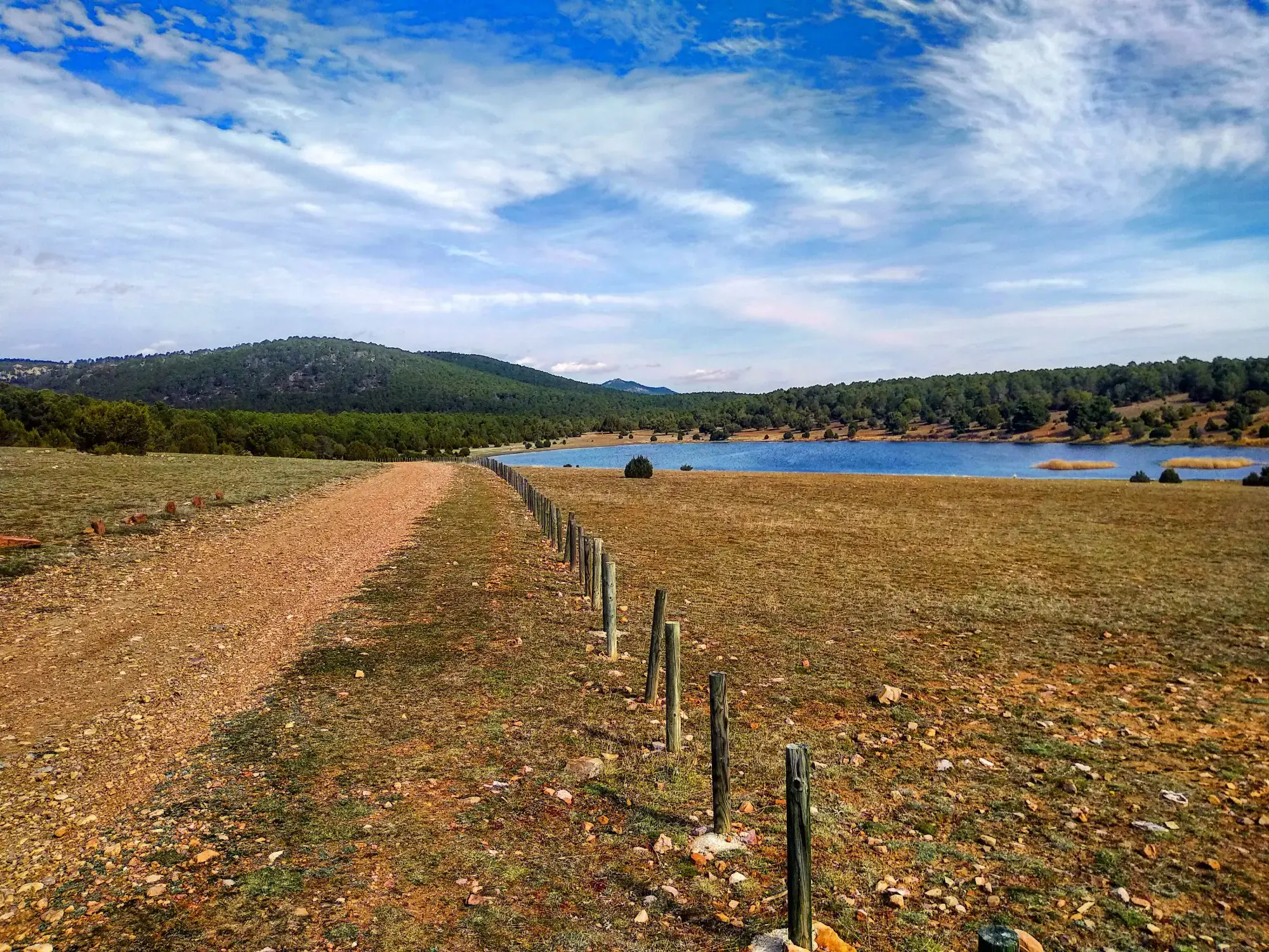
Sendero Español GR 10 — De este a oeste
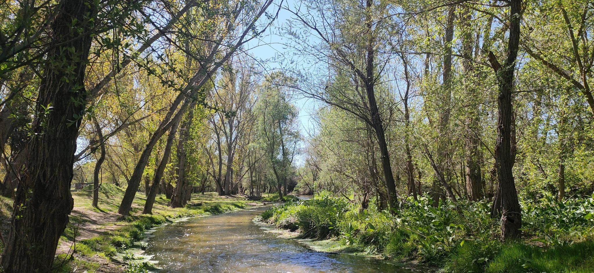
Hidden treasures in the river – hike along Spain’s Guadarrama River

The treasures of Guadarrama – on foot along the GR 10 in Madrid
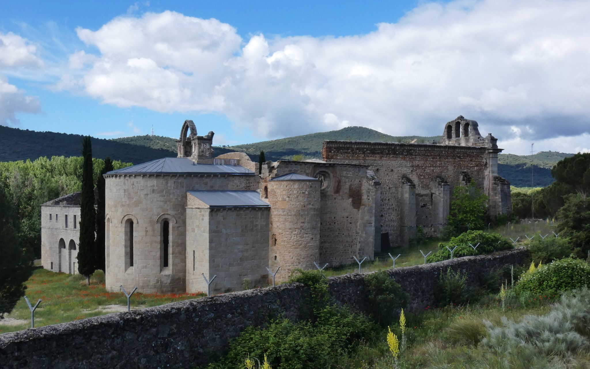
Madrid’s mediaeval castles and hidden gems by gravel bike

Ports, countryside and rivers – Tour of Madrid by road bike
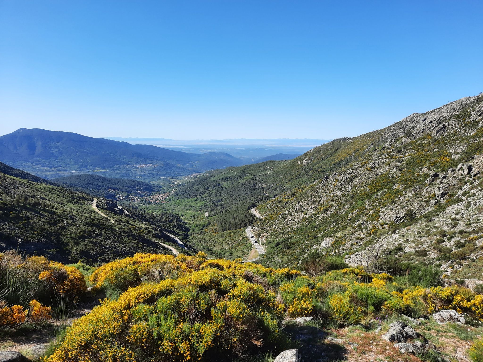
Ávila in Spain – Tour of Gredos by MTB
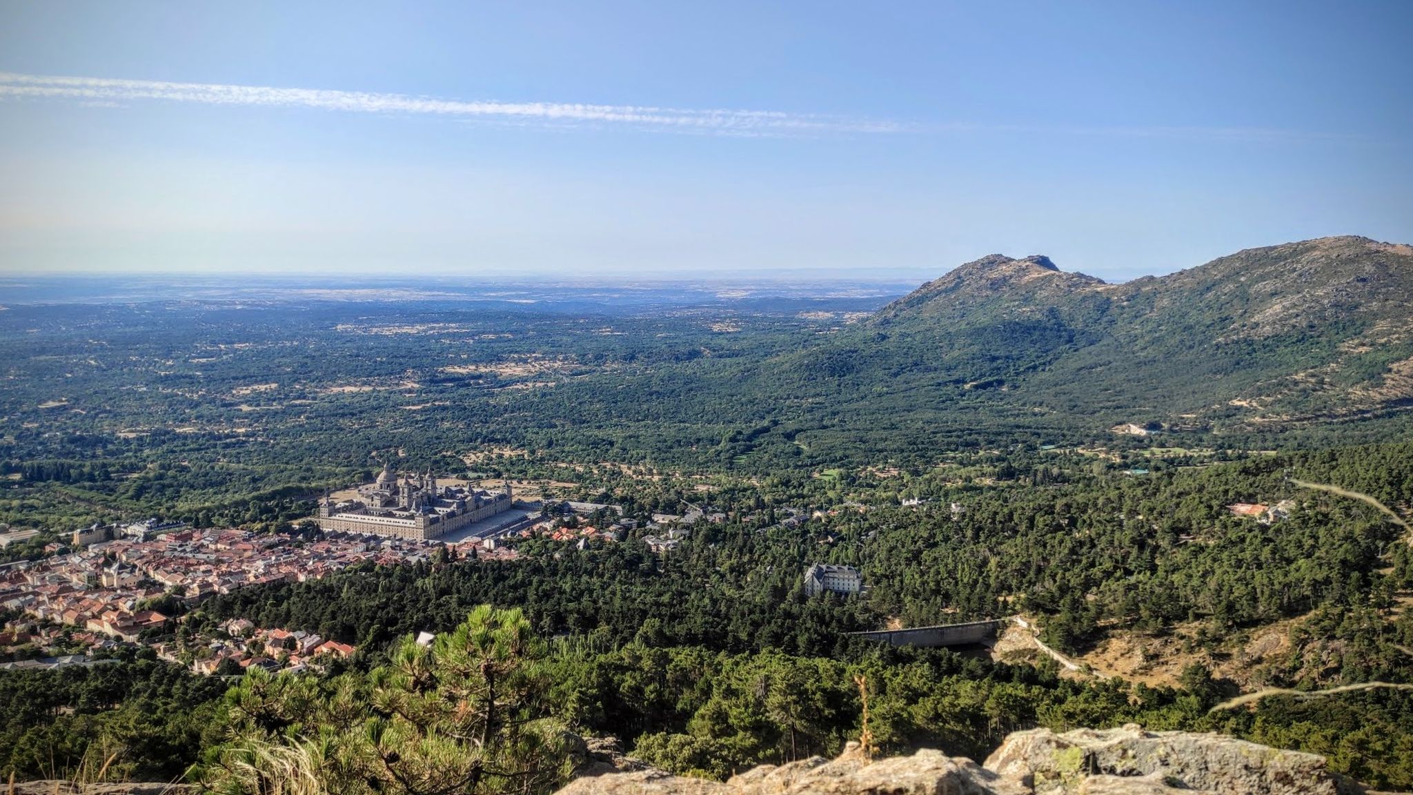
Sierras, countryside, reservoirs and history – Tour of Madrid gravel
Other adventures around Sur Occidental


Tips from the Community

Crossroads to reach Villanueva del Pardillo or Colmenarejo, with beautiful views.
1
0

I provide a photo of this place, where you can see several bullet holes in one of the walls of one of the buildings. The holes are quite grouped and at the height of a normal-sized person's head. The impact wall is on the east side. This position was defended by a tabor of marksmen from Ifni and by a century of phalanx from Valladolid. Some historians say that the first shots of the Battle of Brunete probably took place in this place on July 5, 1937. This position fell on the 7th. The attackers of the Red Army came after climbing the valley located to the west, the Valdeyerno valley, and from the north along the livestock route that crosses this plateau, leading to Valdemorillo. The impacts that can be seen on the facades of the east side of both buildings, I believe, are not the product of combat, but rather of shootings on those walls, of captured national soldiers.
0
1
Antigua Pilar copper mine is the largest exploitation in the Colmenarejo and Galapagar area. It is an abandoned underground copper mine that has bluish speleothems worthy of admiration, as well as numerous vestiges of its mining activity.
0
0

This is one of the many bunkers that were on the Brunete front, in very good condition. If you go around it, you will be able to see its access, which is located at the back.
1
0
This lime kiln will perhaps be the best preserved in the area. The cylindrical shape of the base draws a lot of attention, on which a conical shape rises with its gas outlet. Because of this shape they are known as bottle ovens. This refractory ceramic kiln uses kaolin to produce refractory bricks.
0
0
Next to Alto de los Llanos are these ruins which, it is said, were the headquarters of the Republican command. Very close we can also find the geodesic vertex of the place, which is located at 746 meters of altitude.
0
1
The function of this type of chimneys is to act as pressure relief valves in hydraulic systems. In this case, it is located in the canal that carries water from the Picadas reservoir to the station that treats drinking water in Majadahonda.
1
0
This cave-shelter served as anti-aircraft protection during the Spanish Civil War. It belonged to the Republican side, and its strategic location against the hill made bombing difficult. It was built with pick and shovel after the Battle of Brunete.
0
0
Frequently Asked Questions
How many hiking trails are accessible from bus stations in Sur Occidental?
There are over 200 hiking routes in Sur Occidental that are easily accessible from bus stations. This makes it convenient to explore the region's diverse landscapes without needing a car.
Are there easy hiking trails from bus stations suitable for beginners or families?
Yes, Sur Occidental offers many easy routes perfect for beginners or families. For example, the Cerro Alarcón Reservoir Loop is an easy hike that provides beautiful scenery and is readily accessible by bus.
What kind of landscapes can I expect on bus-accessible hikes in Sur Occidental?
The bus-accessible hikes in Sur Occidental offer a variety of landscapes, from river valleys and reservoirs to historical sites. You can find routes that traverse areas with lush vegetation, open fields, and even remnants of historical structures, providing a rich and varied outdoor experience.
Are there any circular hiking routes that start and end at a bus station?
Yes, many routes in Sur Occidental are designed as circular loops, making them ideal for bus travelers as you can start and finish at the same point. The For the remains of the Civil War and the lime kilns — circular from Quijorna is a great example of a moderate circular route.
What are some interesting landmarks or attractions I can see along these bus-accessible trails?
Many trails pass by interesting landmarks. You can discover natural features like the Valmayor Reservoir or the Picadas Reservoir. Historical sites such as the La Teja Spring and the Hermitage of San Isidro or the Iron Bridge of Móstoles are also accessible.
What is the average duration of bus station hiking trails in Sur Occidental?
The duration of bus station hiking trails in Sur Occidental varies widely. You can find shorter routes, like the Route of the Mills of the Perales River which takes around 2 hours, to longer, more challenging hikes that can last several hours, such as The Aulencia River Canyon — circular from Colmenarejo.
Are there any bus-accessible hikes that are particularly scenic or offer unique views?
Many trails offer beautiful scenery. Routes around the reservoirs, such as the Cerro Alarcón Reservoir Loop, provide expansive water views. The region's varied terrain, including river canyons and historical sites, ensures diverse and picturesque vistas on many bus-accessible paths.
What do other hikers enjoy most about hiking in Sur Occidental?
The area is highly rated by the komoot community, with an average score of 4.49 stars. Reviewers often praise the accessibility of trails by public transport, the variety of landscapes, and the well-maintained paths that make for enjoyable outdoor experiences.
Can I find hikes that are suitable for dog walking from bus stations?
Yes, many trails in Sur Occidental are dog-friendly, allowing you to enjoy the outdoors with your canine companion. Always check local regulations for specific routes regarding leash requirements and waste disposal to ensure a pleasant experience for everyone.
Are there any bus-accessible trails that explore historical sites or cultural heritage?
Absolutely. Several routes delve into the region's history. For instance, the For the remains of the Civil War and the lime kilns — circular from Quijorna takes you through areas with historical significance, offering a blend of nature and heritage.
What is the best time of year to go hiking from bus stations in Sur Occidental?
Spring and autumn are generally considered the best times for hiking in Sur Occidental, offering pleasant temperatures and beautiful natural scenery. Summers can be hot, while winters are milder but can have occasional rain. Always check the weather forecast before heading out.
Most popular routes around Sur Occidental
Most popular attractions around Sur Occidental

Get inspired with the komoot mobile app


Didn’t find what you were looking for?
Check out more Hikes throughout Sur Occidental below and find the perfect route in your destination.
Explore more
Browse the best Hikes in other regions.
