Easy hikes and walks around Sur Occidental
4.5
(2761)
13,412
hikers
415
hikes
Easy hiking trails around Sur Occidental traverse a landscape characterized by mountainous terrain, lush vegetation, and diverse ecosystems. The region features impressive mountain views, cloud forests, and numerous waterfalls and rivers. Hikers can explore varied topography, from tropical jungles to high-altitude conditions, encountering unique plant species.
Best easy hiking trails around Sur Occidental
- The most popular easy hiking route is Route of the Mills of the Perales River, a 3.2 miles (5.2 km) trail that takes 1 hour 26…
Last updated: August 20, 2026
4.8
(17)
133
hikers
5.20km
01:26
90m
90m
Hike an easy 3.2-mile (5.2 km) circular route along the Río Perales, exploring historic mills and the Puente del Hoyo bridge.
5.0
(1)
2
hikers
7.11km
01:50
40m
40m
Easy hike. Great for any fitness level. Easily-accessible paths. Suitable for all skill levels.

Sign up for free
5.0
(2)
7
hikers
6.86km
01:52
100m
100m
Easy hike. Great for any fitness level. Easily-accessible paths. Suitable for all skill levels.
2
hikers
6.08km
01:41
110m
110m
Hike an easy 3.8-mile circular route around the Cerro Alarcón Reservoir from Navalagamella, exploring history and nature.
4.0
(1)
1
hikers
6.90km
01:50
70m
70m
Hike the easy 4.3-mile Bosque Sur Loop Trail, featuring scenic viewpoints and a bridge over Arroyo Culebro.
5.0
(1)
2
hikers
Easy hike. Great for any fitness level. Easily-accessible paths. Suitable for all skill levels.
5.92km
01:32
30m
30m
Easy hike. Great for any fitness level. Easily-accessible paths. Suitable for all skill levels.
4.8
(17)
45
hikers
Easy hike. Great for any fitness level. Easily-accessible paths. Suitable for all skill levels.
4.7
(3)
39
hikers
Easy hike. Great for any fitness level. Easily-accessible paths. Suitable for all skill levels.
5.0
(2)
13
hikers
7.00km
01:48
40m
30m
Easy hike. Great for any fitness level. Easily-accessible paths. Suitable for all skill levels.
Get access to more routes and recommendations from other explorers.
Sign up for free
Already have an account?
Our route recommendations are based on thousands of hikes, rides, and runs completed by other people on komoot.
Start today with a free account
Your next adventure awaits.
Login or Signup
Popular around Sur Occidental

Easy hikes around Embalse de Cerro Alarcón

Easy hikes around Pantano de Valmayor

Easy hikes around Embalse de San Juan
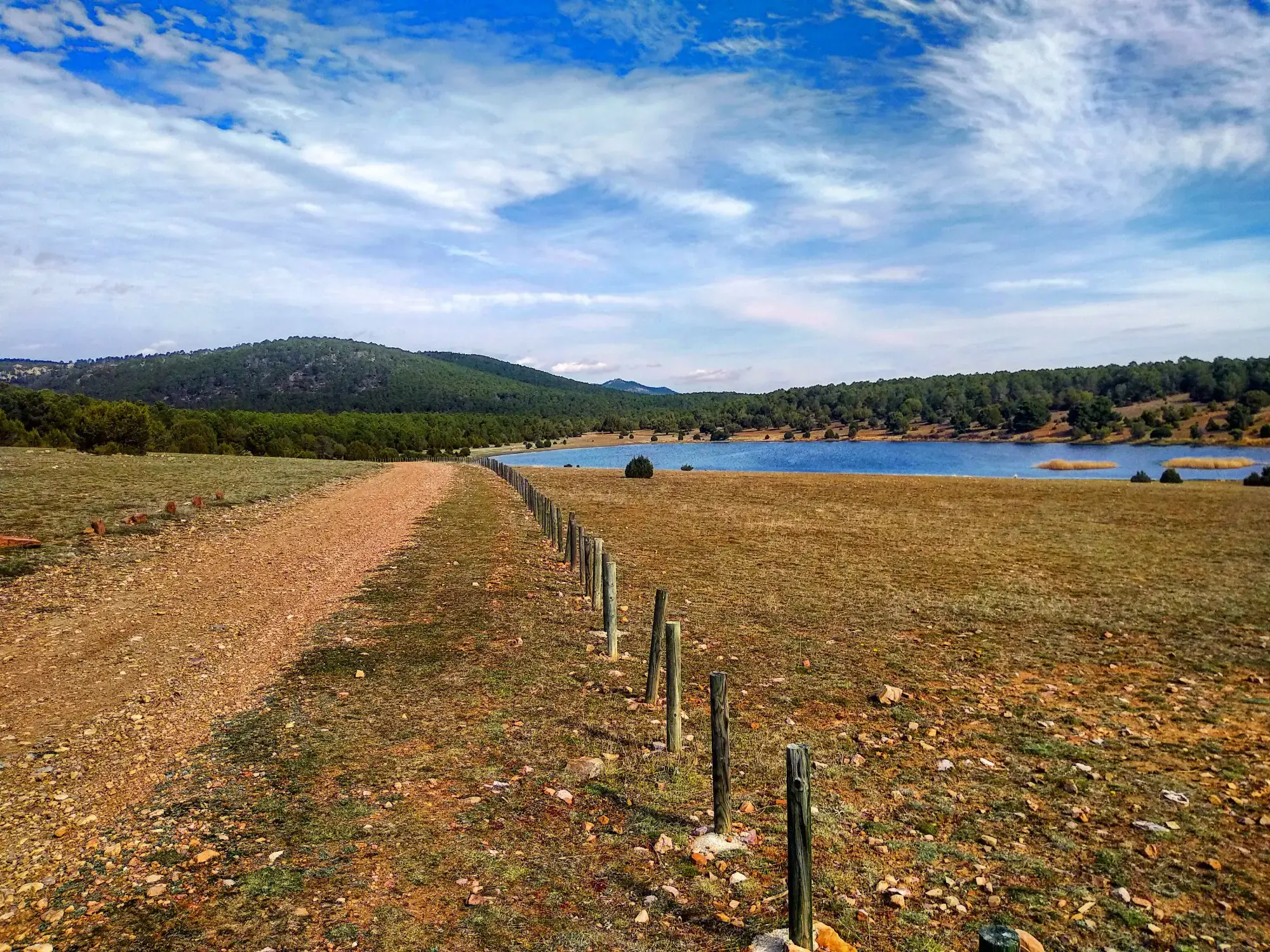
Sendero Español GR 10 — De este a oeste
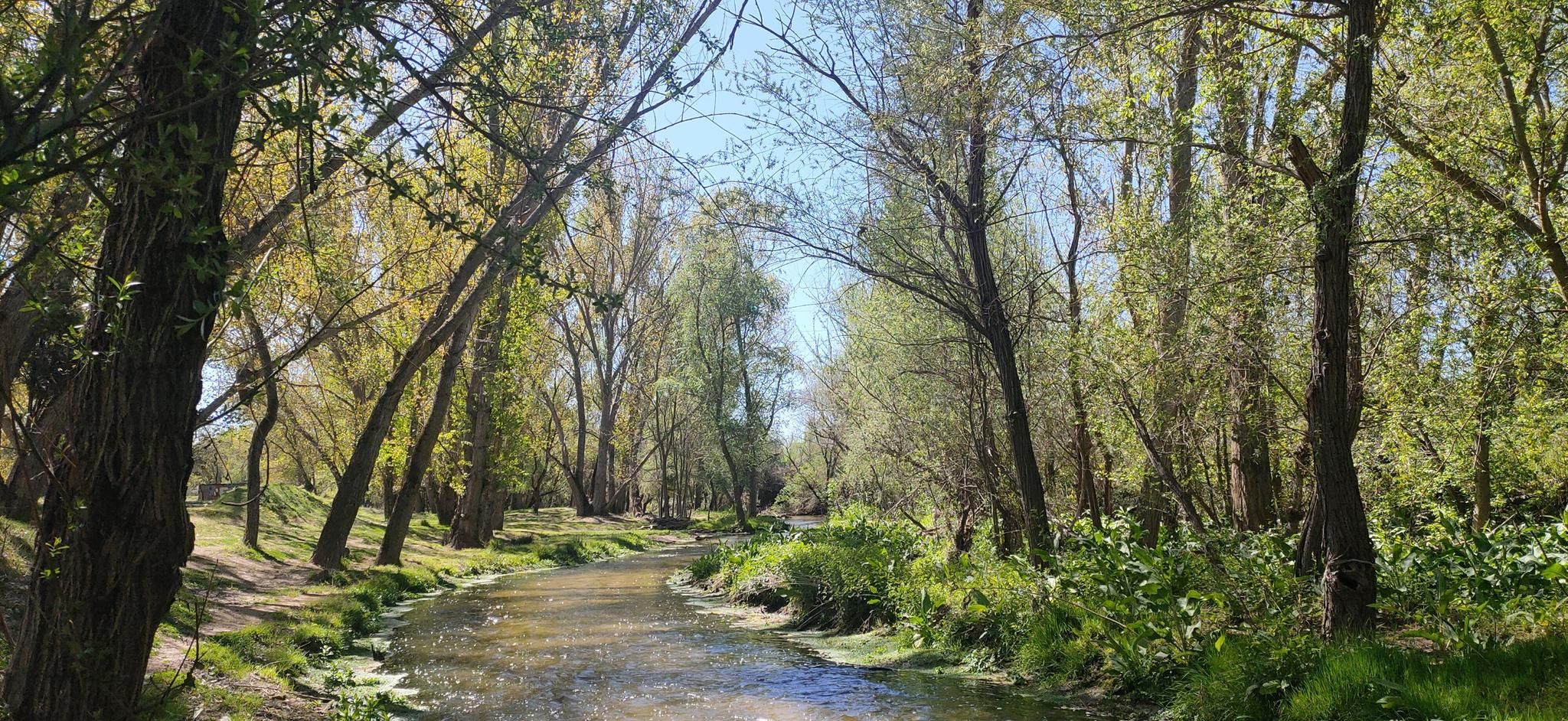
Hidden treasures in the river – hike along Spain’s Guadarrama River

The treasures of Guadarrama – on foot along the GR 10 in Madrid
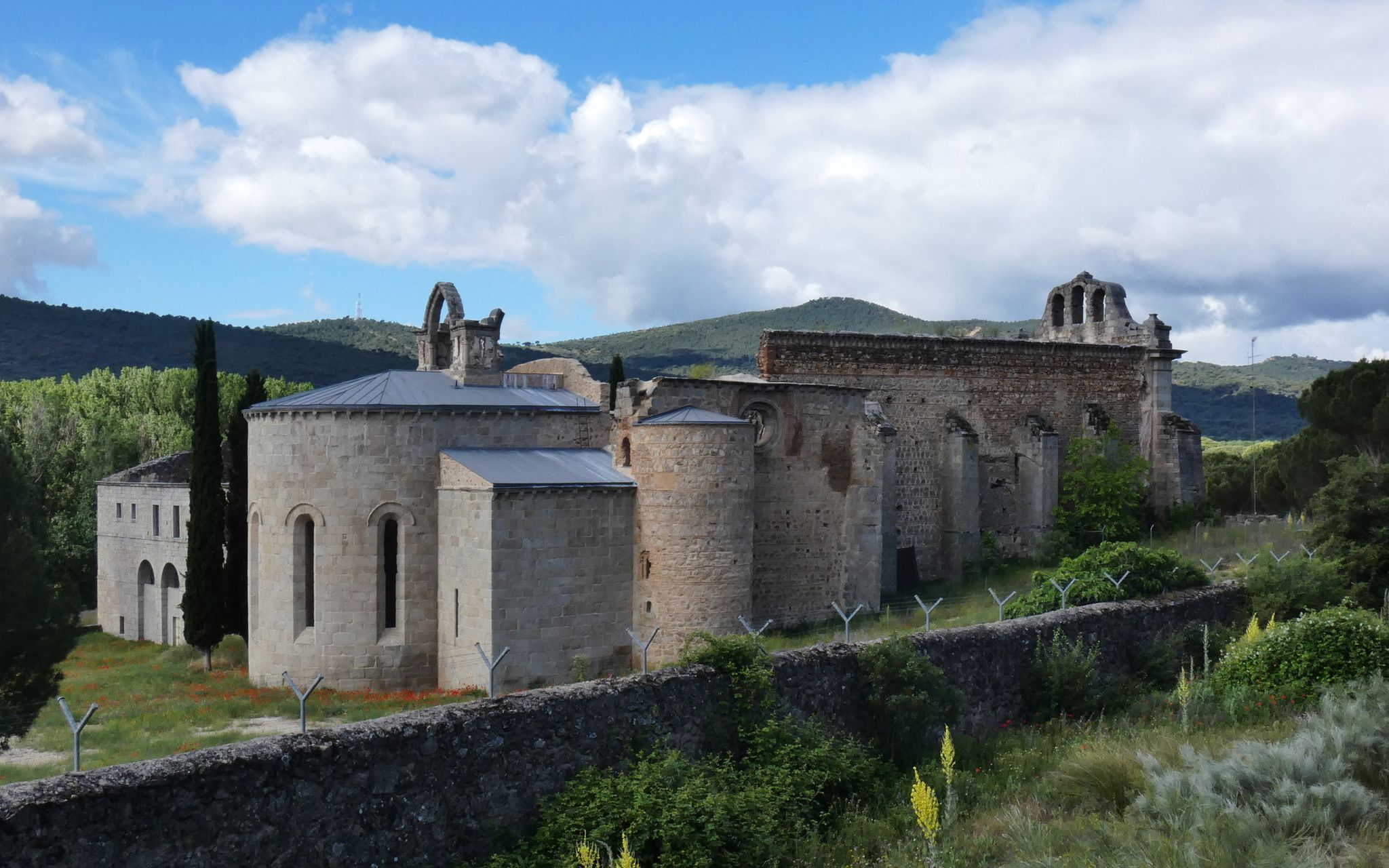
Madrid’s mediaeval castles and hidden gems by gravel bike

Ports, countryside and rivers – Tour of Madrid by road bike
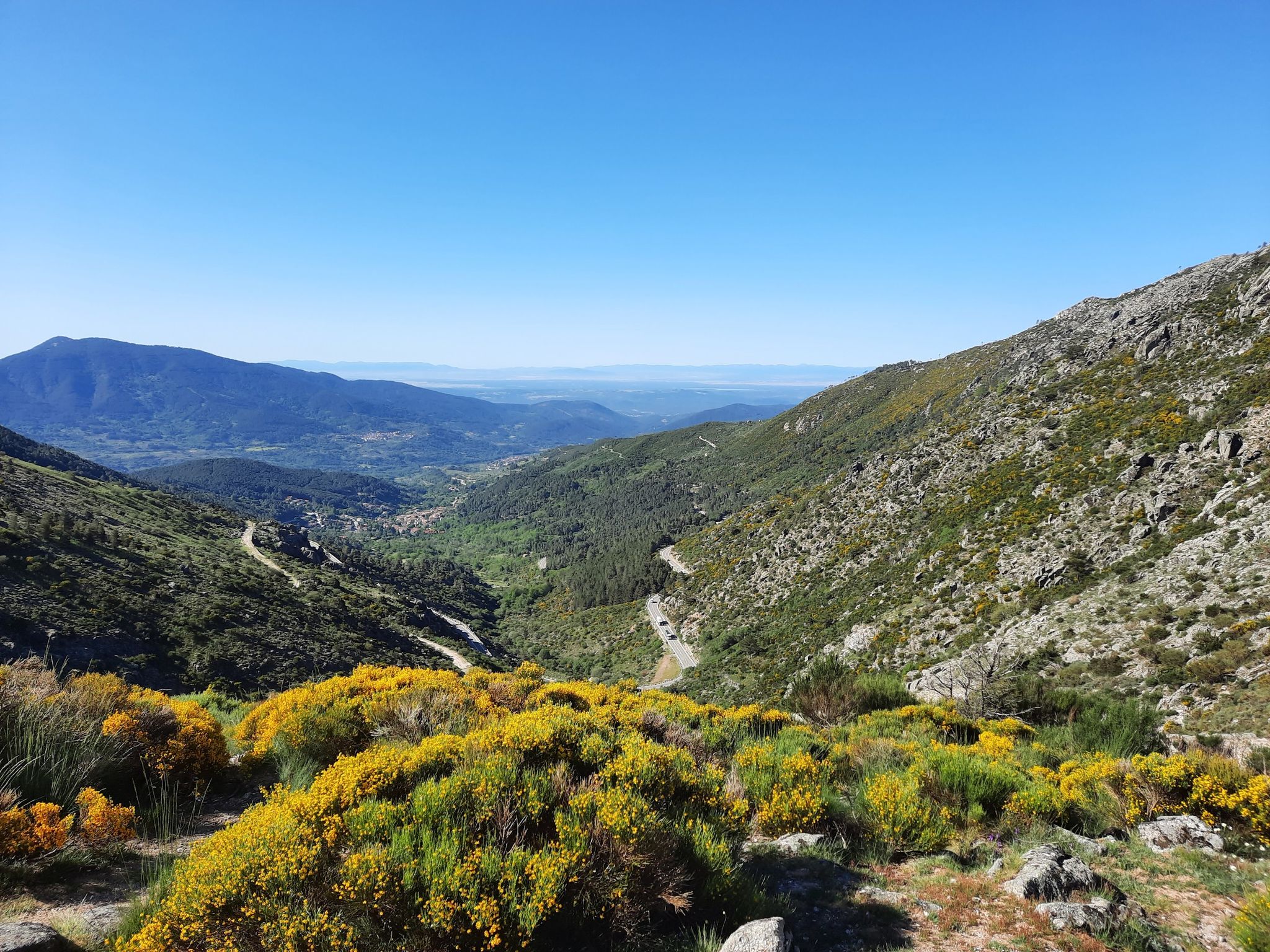
Ávila in Spain – Tour of Gredos by MTB
Sierras, countryside, reservoirs and history – Tour of Madrid gravel
Other adventures around Sur Occidental


Tips from the Community

El Mirador Las Roturas del Culebro is a panoramic viewpoint located in the BosqueSur Forest Park, an important green area that connects the municipalities of Leganés, Fuenlabrada, Getafe, and Pinto in the south of the Community of Madrid. It is a very popular spot for mountain biking (MTB) and hiking.
0
0
AI-generated view The giant pot monument in Fuenlabrada commemorates the historic feat that occurred on June 4, 1988, when the city achieved the Guinness Record for the largest "cocido madrileño" in the world. The enormous vessel is preserved today as a cultural landmark in the municipality. Details of the historic event The feat: 30,000 servings of "cocido madrileño" were cooked in an event organized by the La Avanzada Neighbors Association. The process: Cooking lasted about 10 hours and for this, 24,000 liters of water, 2,500 kilos of chickpeas, 2,000 kilos of chicken, 1,800 of chorizo, as well as large quantities of bacon, black pudding, and vegetables were used. Location of the pot: The famous giant pot structure is permanently installed in the Parque de la Olla in La Avanzada, located in the neighborhood of the same name.
0
0
Alhóndiga Park, located in Getafe, is one of the most important green spaces and lungs in the south of Madrid. It stands out for its extensive circuits for outdoor sports, a large central lake, children's areas, and designated pet zones.
0
0
The La Pollina Municipal Center is an urban green space of almost 3 hectares in Fuenlabrada, designed especially for children and family leisure. It has picnic areas, a climbing wall, a zip line, and rest areas.Address: Camino de la Vega, s/n, 28946 Fuenlabrada, Madrid.Opening hours: Monday to Friday from 4:00 PM to 8:00 PM; Saturdays and Sundays from 10:00 AM to 8:00 PM.Contact: Telephone 916973422 or email info.joven@juventudfuenla.com.Activities: It frequently hosts youth and cultural events, and markets.
0
0

The Alberche River is one of the main watercourses in the Sierra Oeste of Madrid, shaping landscapes of great natural value. As it passes through the area, it creates wooded riverbanks, natural beaches, and spaces of great beauty, being a key element in the environment of the routes and an ideal place to enjoy nature.
0
0
The Embalse de Picadas is a natural enclave located on the course of the Alberche river, surrounded by pine forests and steep slopes that create a landscape of great beauty. Its calm waters and uncrowded environment make it an ideal place to enjoy nature in the Sierra Oeste of Madrid.
0
0

Frequently Asked Questions
How many easy hiking trails are available in Sur Occidental?
Sur Occidental offers a wide selection of easy hiking trails, with over 140 routes specifically categorized as easy. In total, the region boasts more than 360 hiking options for various skill levels.
What kind of landscapes can I expect on easy hikes in Sur Occidental?
Easy hikes in Sur Occidental traverse a diverse landscape characterized by stunning mountainous terrain, lush vegetation, and cloud forests. You can expect impressive mountain views, numerous waterfalls, and rivers, with trails leading through varied ecosystems from tropical jungles to higher altitudes.
What do other hikers enjoy the most about easy hikes in Sur Occidental?
The easy hiking trails in Sur Occidental are highly rated by the komoot community, with an average score of 4.4 stars from nearly 600 reviews. Hikers often praise the region's natural beauty, the accessibility of the trails, and the opportunity to experience diverse landscapes like cloud forests and riverbanks.
Are there any easy circular hiking routes in Sur Occidental?
Yes, many easy trails in Sur Occidental are circular, offering convenient loop options. For example, the Bosque Sur Loop Trail is an easy 6.9 km (4.3 miles) route that takes you through varied parkland. Another great option is the Cerro Alarcón Reservoir Loop, which offers scenic views around the reservoir.
Can I find easy trails with waterfalls in Sur Occidental?
The Sur Occidental region is rich in water resources, featuring spectacular waterfalls. While specific easy routes to major waterfalls like El Salto del Angel (near Jardín) might involve more challenging sections, many trails will follow rivers where smaller cascades can be enjoyed. The region's cloud forests are particularly known for their abundant water features.
Are there family-friendly easy hikes in Sur Occidental?
Many easy trails in Sur Occidental are suitable for families, offering gentle gradients and manageable distances. Routes like the Parque de la Olla, Colada de Esparteros, Mirador de la Colina — circular provide pleasant walks through parks and natural areas, perfect for an outing with children.
What attractions can I see along easy hiking trails in Sur Occidental?
Along easy hiking trails in Sur Occidental, you can discover various points of interest. Some routes might pass by historical sites like the Navalcarnero Main Square or religious buildings such as the La Teja Spring and the Hermitage of San Isidro. Many trails also offer views of natural landmarks like the Valmayor Reservoir.
Are there any easy trails that pass by lakes or reservoirs?
Yes, the region features several beautiful lakes and reservoirs that are accessible via easy hiking trails. The Cerro Alarcón Reservoir Loop is a prime example, offering scenic views of the water. You can also find highlights like the Picadas Reservoir and the Lakes of Nelson Mandela Park, which are often part of easy routes.
What is the best time of year for easy hiking in Sur Occidental?
The mountainous terrain of Sur Occidental means weather can vary. Generally, the region offers pleasant hiking conditions for much of the year. However, for the most comfortable experience, consider visiting during the drier seasons to avoid heavy rainfall, which can make some trails muddy. Always check local weather forecasts before heading out.
Are there any easy trails with good viewpoints in Sur Occidental?
Absolutely. The mountainous topography of Sur Occidental naturally lends itself to stunning viewpoints. While specific easy trails might not reach the highest peaks, many offer panoramic vistas of the surrounding green mountains and valleys. The The viewpoints of Bosquesur — circular from Fuenlabrada is an excellent example of an easy route designed to showcase scenic outlooks.
Are there easy trails accessible by public transport in Sur Occidental?
Accessibility by public transport varies across the region. Many towns in Sur Occidental, such as Jardín and Jericó, are well-connected by bus services, and some easy trails start directly from or near these towns. For routes closer to urban centers, like those around Fuenlabrada, public transport options are generally more frequent. It's advisable to check specific route starting points and local transport schedules.
Where can I find parking for easy hikes in Sur Occidental?
Parking availability for easy hikes in Sur Occidental depends on the specific trailhead. Many routes that start near towns or parks will have designated parking areas. For example, trails around urban parks or recreational areas often provide convenient parking facilities. For more remote trailheads, roadside parking might be an option, but it's always best to research the specific starting point of your chosen route beforehand.
Most popular routes around Sur Occidental
Most popular attractions around Sur Occidental

Get inspired with the komoot mobile app


Didn’t find what you were looking for?
Check out more Hikes throughout Sur Occidental below and find the perfect route in your destination.
Explore more
Browse the best Hikes in other regions.
