The best hikes from bus stations around Don Benito
4.6
(60)
401
hikers
3
hikes
Bus station hiking trails around Don Benito provide access to the surrounding Extremadura landscape, characterized by agricultural areas and the nearby Orellana Reservoir region. The terrain primarily features gentle hills and paths around the reservoir, offering a mix of open spaces and some forested sections. Elevation changes are generally moderate, with the highest points reaching around 386 meters. The area is known for its rural character rather than dramatic mountainous features.
Best bus station hiking trails around Don Benito
- The…
Last updated: May 10, 2026
Hard hike. Very good fitness required. Easily-accessible paths. Suitable for all skill levels.
3.5
(2)
5
hikers
20.9km
05:48
390m
390m
Hard hike. Very good fitness required. Easily-accessible paths. Suitable for all skill levels.

Sign up for free
5
hikers
4.95km
01:20
60m
60m
Easy hike. Great for any fitness level. Easily-accessible paths. Suitable for all skill levels.
Our route recommendations are based on thousands of hikes, rides, and runs completed by other people on komoot.
Start today with a free account
Your next adventure awaits.
Login or Signup
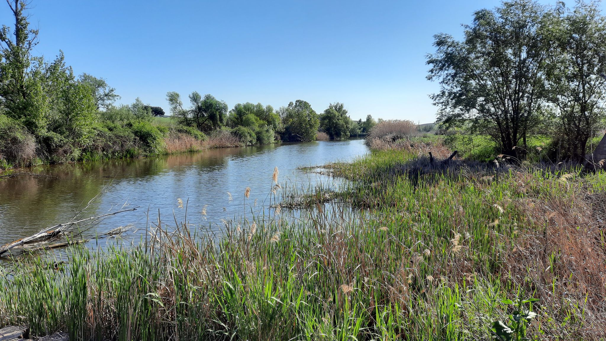
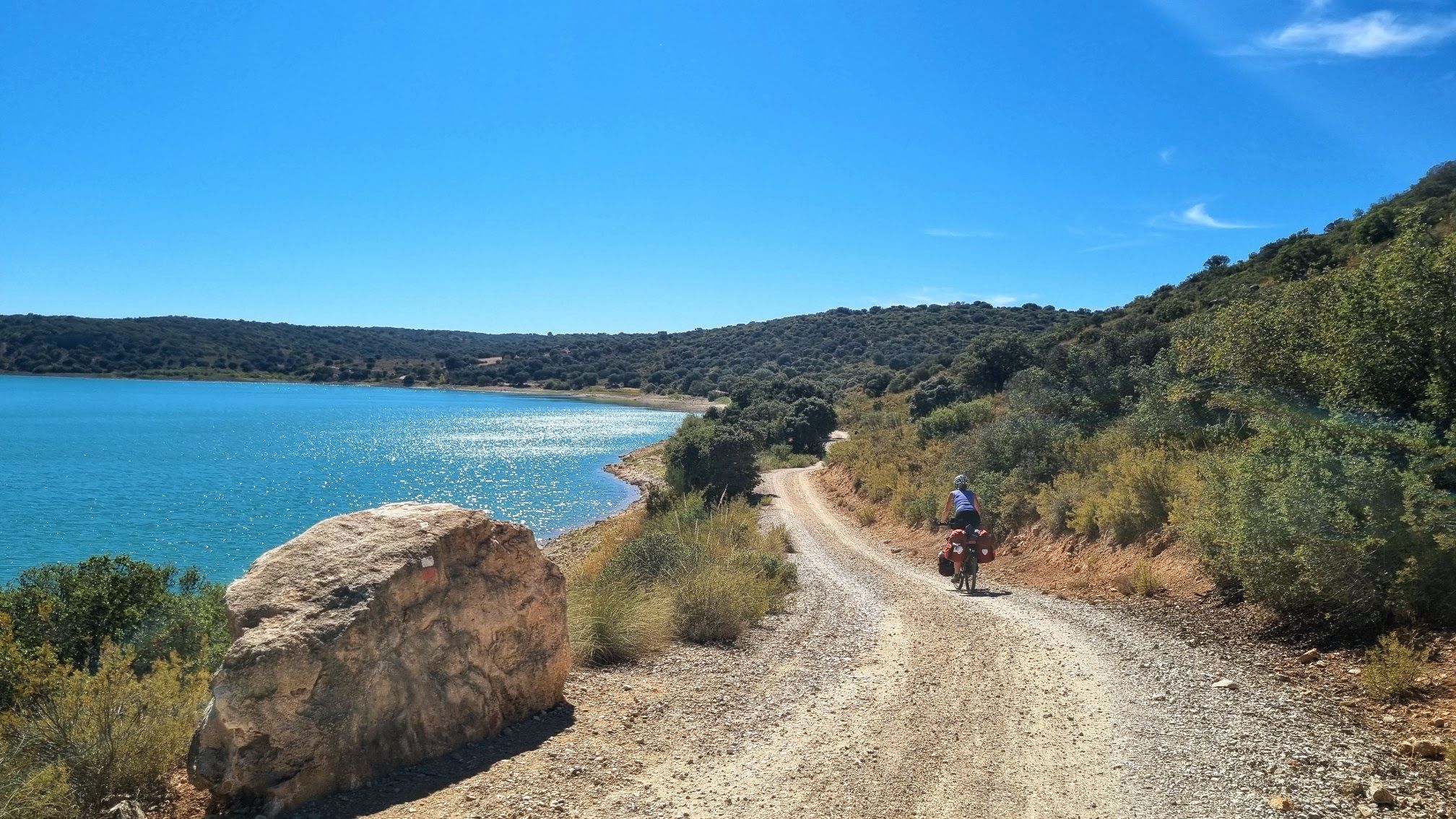
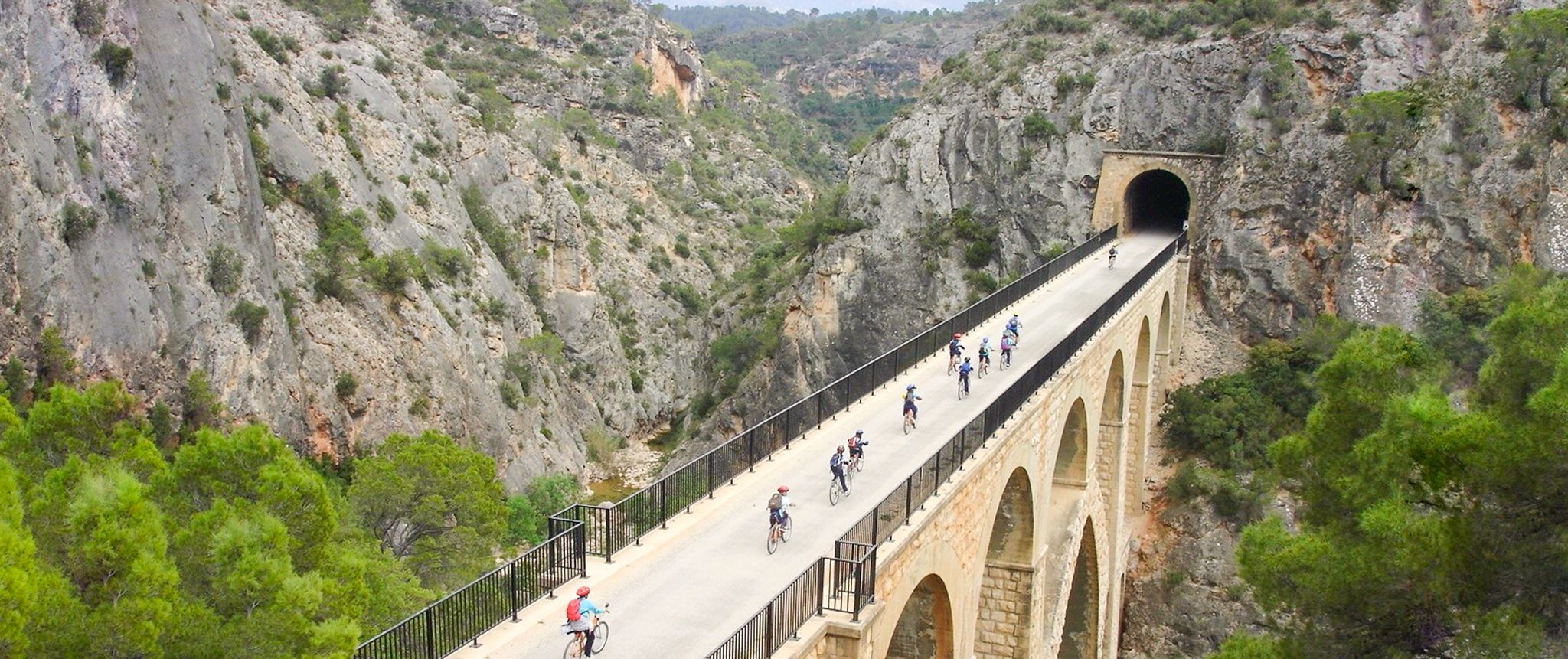
Other adventures around Don Benito


Tips from the Community

It's a historic bridge located over the Guadiana River, near the pre-Roman ruins of Lacimurga. It's part of the Senda de los Embalses (Reservoirs Path), a popular hiking and nature trail.
5
0

A picturesque bridge over the Orellana reservoir, which ends with a tunnel excavated in the rock. Beautiful views.
1
1

Orellana de la Sierra is a town that is located in the middle of the Sierra de Pela, covered by its northern slope but elevated above the rest of the land. It is a good population to see the whole of the Orellana Reservoir.
0
1
Roman Villa of Lacimurga. These ruins are located in the place known as Cogolludo. It is a very pleasant place, next to the Guadiana river.
13
0
This town, popularly known as Orellanita, is connected, according to some legends, with Roman times, specifically with a Roman legion called Aurelia, supposedly based in this place, from which the place name Aureliana would have arisen and, from it, Orellana. In its medieval times it is located in the population privilege granted by Enrique II to Alvar García Bejarano, owner of the castle of the Bejaranos and who would change his title to that of Orellana.
13
0
In the municipality of Orellana la Vieja is the first inland beach in all of Spain with a Blue Flag for its accessibility, the quality of its waters and the environmental information offered to users. In addition, it is also a blue trail and marina.
11
0
It is a 15th century military fortress rebuilt as a palace in the 16th century and built in the municipality of Orellana la Vieja. The building's patio stood out, formed by two galleries supported by columns, semicircular arches and rectilinear lintels on the main floor. Today two towers remain, one circular and the other square and taller, the keep. Also, you can see the shield of the Altamirano, arches, supports with Ionic capitals and remains of towers. Although part of the castle was destroyed to convert it into a private home after the civil war. It has been declared a historical and cultural heritage of Extremadura and in the town it is known simply as "the palace".
11
0

Walking along the peninsula of Playa de Orellana and the Club Náutico de Orellana, you can stop to eat or drink a little before returning to town. The water is also nice. jump to swim
3
0
Frequently Asked Questions
How many hiking trails are accessible from bus stations around Don Benito?
There are currently 3 hiking routes available that are accessible from bus stations around Don Benito. These routes offer a mix of easy and more challenging options for exploring the area.
Are there any easy hiking trails accessible by bus near Don Benito?
Yes, for an easier option, consider the Playa de Orellana loop from Orellana la Vieja. This route is approximately 5 km long and features minimal elevation gain, making it suitable for a relaxed walk.
What kind of terrain can I expect on hikes around Don Benito?
The hiking trails around Don Benito, particularly those near Orellana, often feature varied terrain including paths around the Guadiana River Viaduct and through areas like the Parque del Embalse de Orellana and Sierra de Pela. You can expect some routes with moderate elevation changes, especially on longer loops.
Are there any longer or more challenging routes from bus stations in the Don Benito area?
For those seeking a more challenging experience, the Puente Cogolludo from Orellana de la Sierra – round trip through the Parque del Embalse de Orellana and Sierra de Pela is a difficult route spanning over 19 km. Another demanding option is the Orellana de la Sierra – Playa de Orellana loop from Orellana la Vieja, which is over 20 km long.
What interesting landmarks or historical sites can I see near the hiking trails?
While hiking, you can explore several historical and architectural highlights. Notable attractions include the ancient Dolmen de Magacela, the impressive Magacela Castle, and the historic Roman Theater and Castle of Medellín. These sites offer a glimpse into the region's rich past.
Are there any viewpoints or scenic spots along these bus-accessible hikes?
Yes, some routes offer scenic views, particularly those that traverse higher ground or follow the Guadiana River. You might encounter spots with Views of Medellín Castle or overlook the Orellana reservoir, providing picturesque landscapes.
What do other hikers say about the trails around Don Benito?
The komoot community rates the hiking experiences around Don Benito highly, with an average score of 4.5 stars. Hikers often appreciate the varied landscapes and the opportunity to discover historical sites and natural beauty.
Are the hiking trails around Don Benito suitable for families?
While the region offers diverse trails, families might find the easier, shorter routes more suitable. The Playa de Orellana loop from Orellana la Vieja is a good option for a family-friendly walk due to its manageable length and minimal difficulty.
Can I find circular hiking routes that start and end near a bus station?
Yes, all three routes listed are circular, meaning they start and end at the same point, which is convenient for bus station access. This includes the easy Playa de Orellana loop from Orellana la Vieja and the more challenging Puente Cogolludo from Orellana de la Sierra.
What is the best time of year to go hiking near Don Benito?
Extremadura, where Don Benito is located, can experience very hot summers. Spring and autumn generally offer the most pleasant weather for hiking, with milder temperatures and often beautiful natural scenery. Winter can also be suitable, though some days might be cooler.
Are there any specific regulations for dog-friendly hiking in the Don Benito area?
While specific regulations for individual trails are not detailed, it's generally advisable to keep dogs on a leash, especially in agricultural areas or near livestock, and to always clean up after your pet. Always check local signage for any specific rules regarding dogs in natural parks or protected areas.
Most popular routes around Don Benito
Most popular attractions around Don Benito

Get inspired with the komoot mobile app


Explore more
Browse the best Hikes in other regions.
