The best walks and hikes around Merklingen
4.5
(13019)
49,115
hikers
33
hikes
Hiking trails around Merklingen traverse the diverse landscapes of the Swabian Alb, characterized by karst topography, dry valleys, and juniper heaths. The region offers varied terrain, from moderate inclines on the Alb plateau to routes through dried-up valley tributaries. The nearby Danube valley also contributes to the scenic beauty, providing additional recreational opportunities. This area is suitable for hikers seeking paths through forests, open fields, and unique geological formations.
Best hiking trails around Merklingen
- The most popular hiking route is…
Last updated: July 11, 2026
4.6
(18)
67
hikers
12.7km
03:25
160m
160m
Moderate hike. Good fitness required. Easily-accessible paths. Suitable for all skill levels.
5.0
(4)
32
hikers
7.67km
02:06
120m
110m
Moderate hike. Good fitness required. Easily-accessible paths. Suitable for all skill levels.

Sign up for free
4.7
(3)
12
hikers
16.2km
04:21
190m
190m
Moderate hike. Good fitness required. Easily-accessible paths. Suitable for all skill levels.
4.2
(5)
18
hikers
11.5km
03:04
130m
130m
Moderate hike. Good fitness required. Easily-accessible paths. Suitable for all skill levels.
2.0
(1)
6
hikers
8.99km
02:28
150m
140m
Moderate hike. Good fitness required. Easily-accessible paths. Suitable for all skill levels.
Get access to more routes and recommendations from other explorers.
Sign up for free
Already have an account?
Our route recommendations are based on thousands of hikes, rides, and runs completed by other people on komoot.
Start today with a free account
Your next adventure awaits.
Login or Signup
Popular around Merklingen
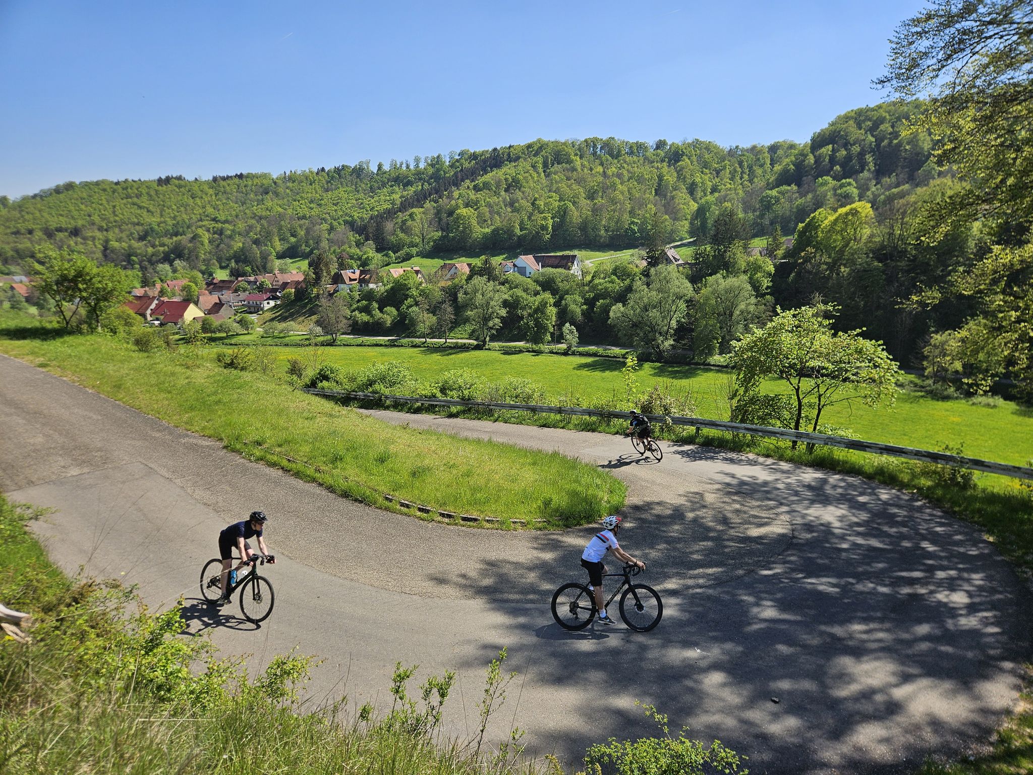
From mountain sprints to winding roads – the Tour de Alb road cycling adventure
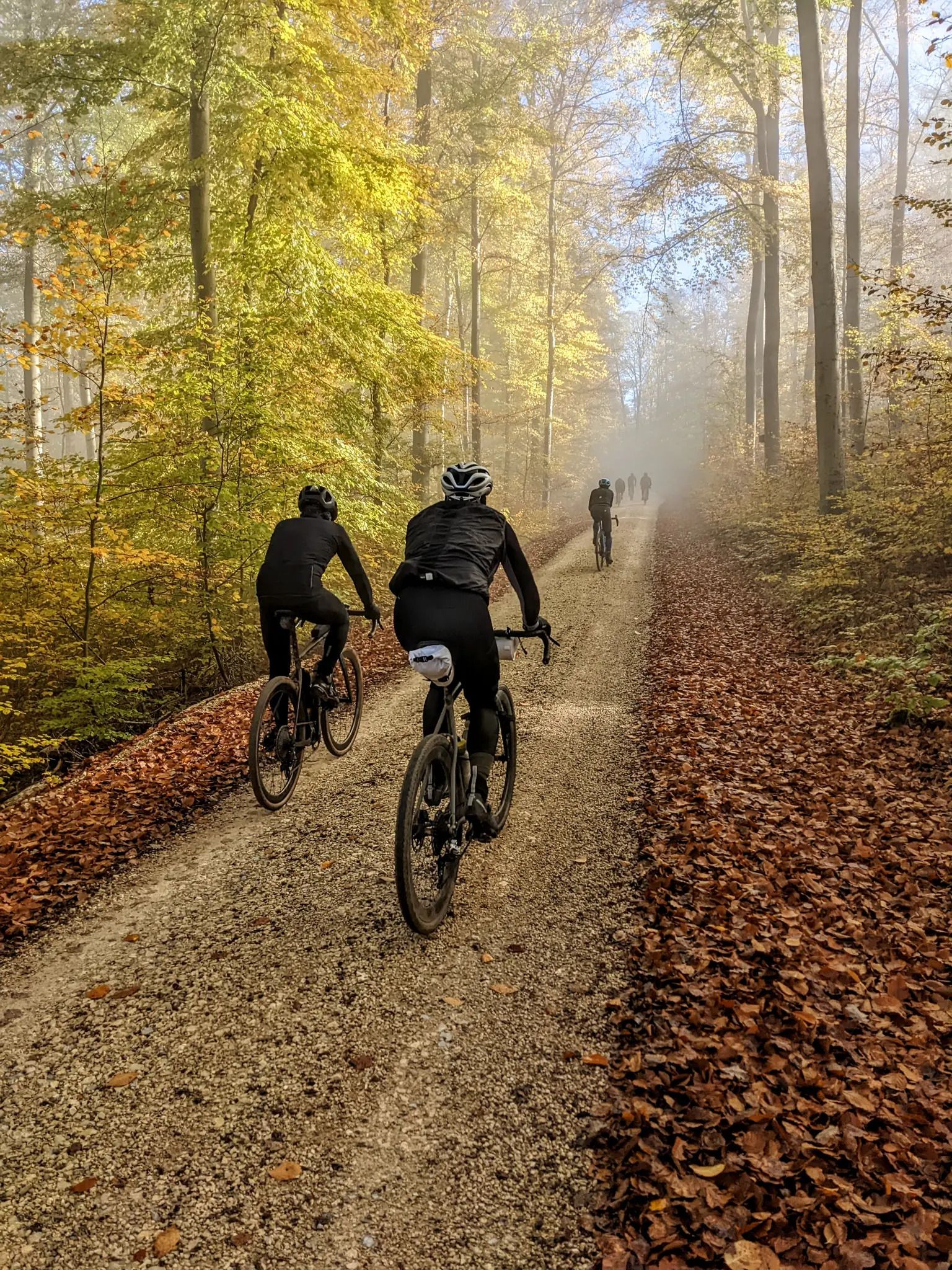
Off to the Gravel Paradise - At 200 km/h onto the Swabian Alb
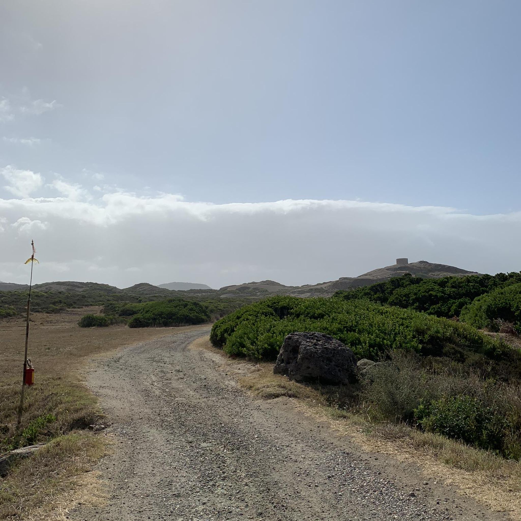
Gravel biking around Merklingen
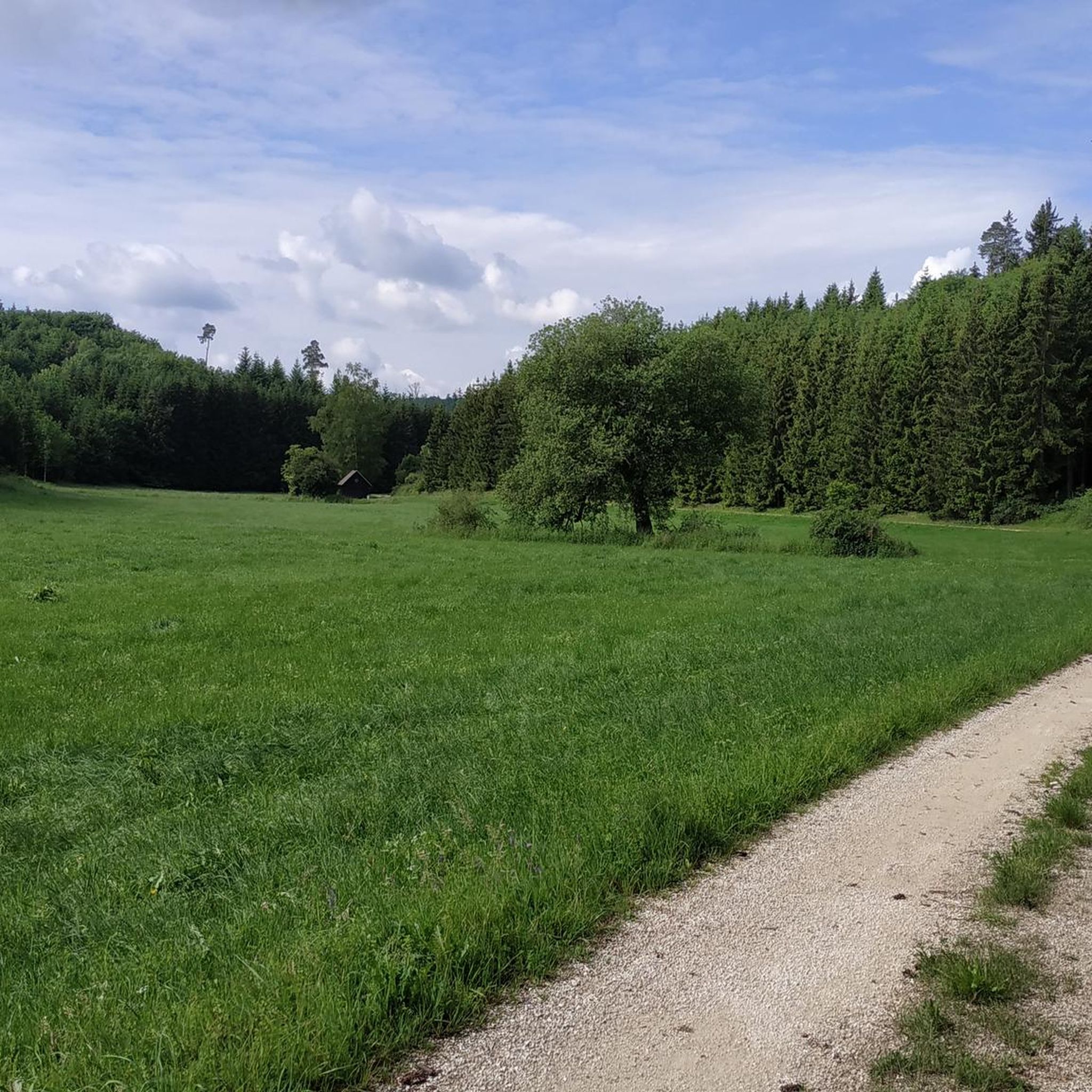
Road Cycling Routes around Merklingen
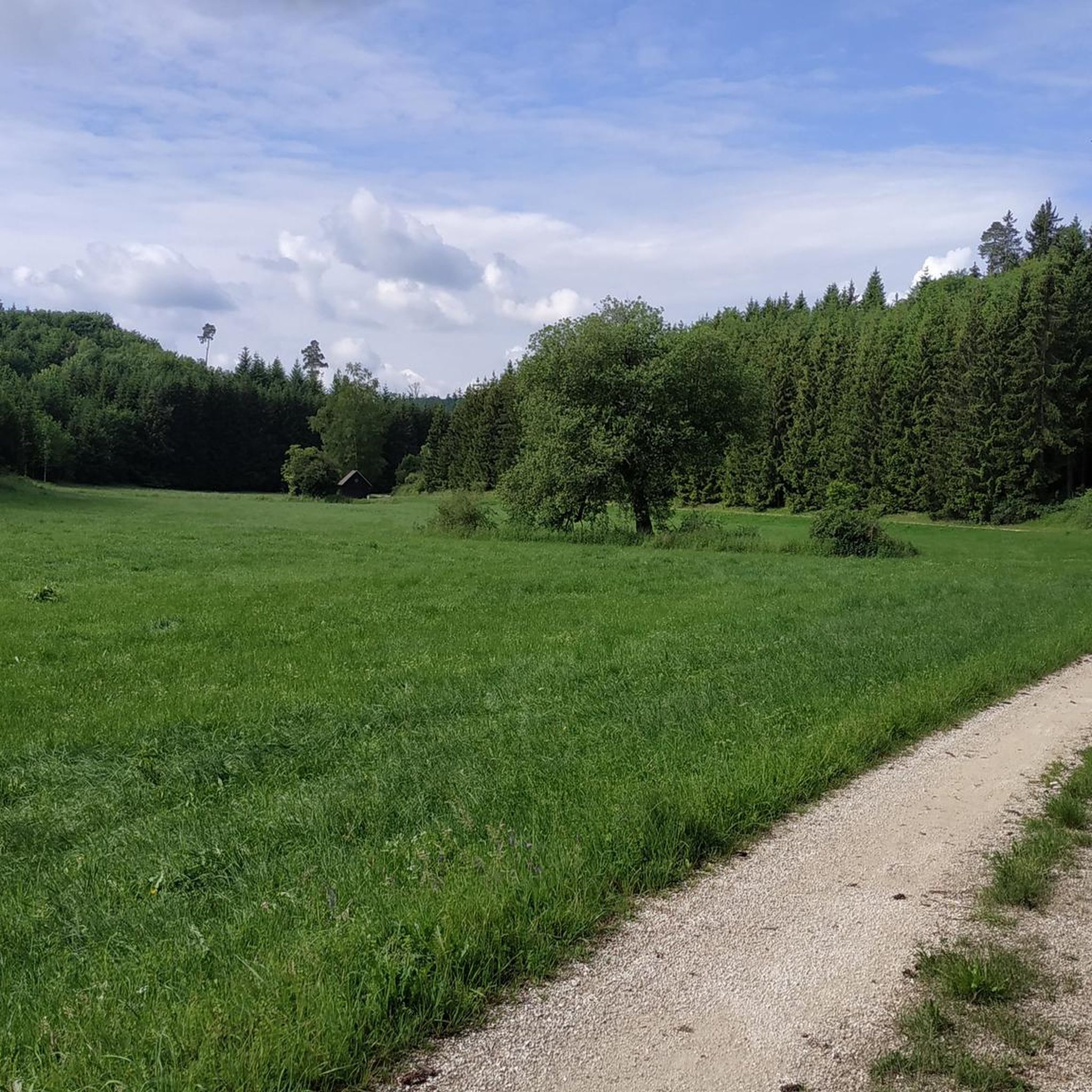
Cycling around Merklingen
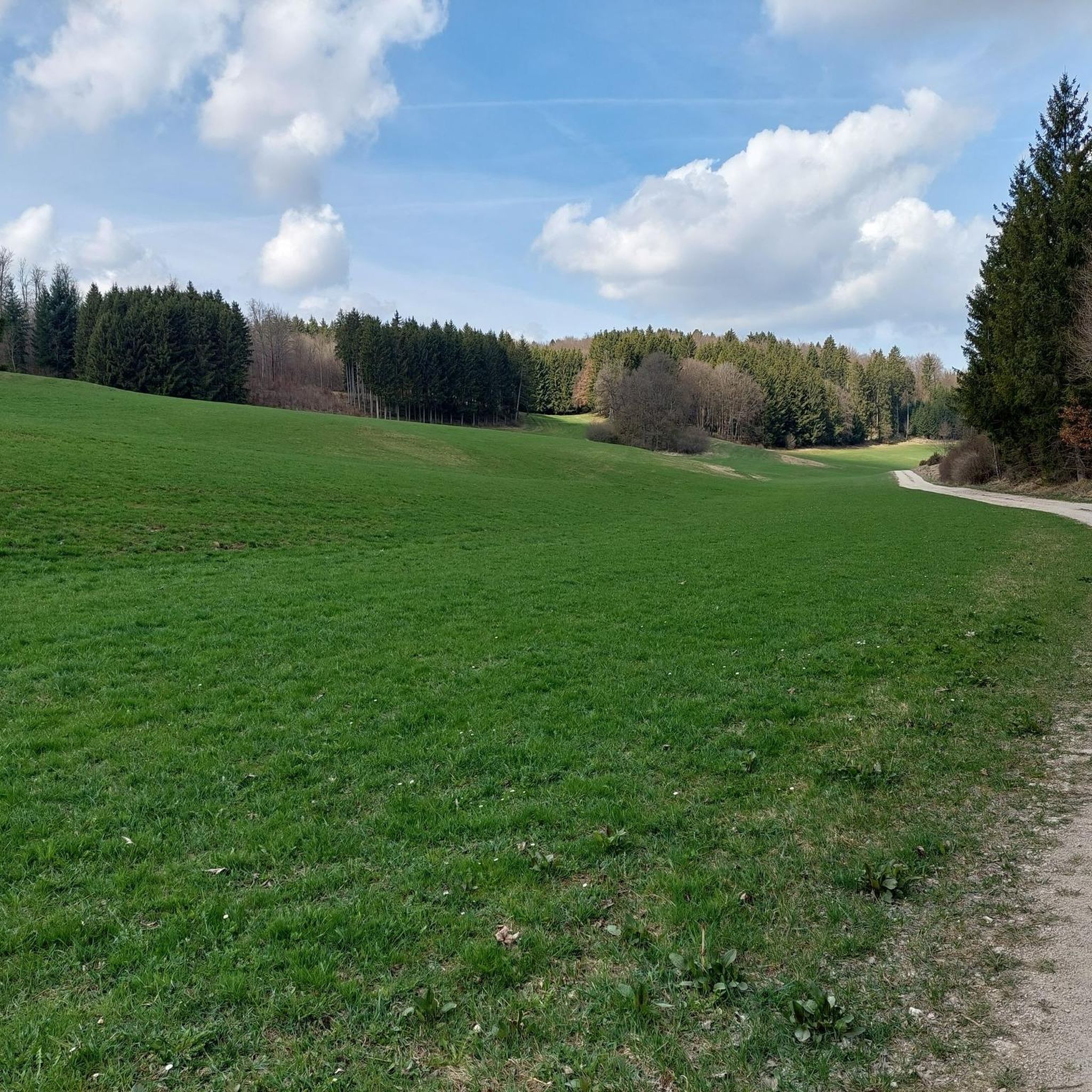
MTB Trails around Merklingen
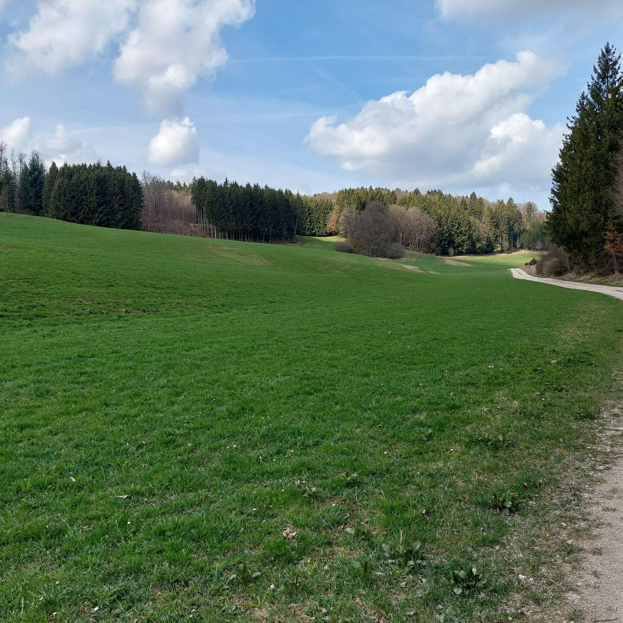
Running Trails around Merklingen

Mountain Hikes around Merklingen


Tips from the Community


Historical border stone with 3 coats of arms
0
0
This is a medieval boundary stone. The "pretty stone" bears the three coats of arms of the neighboring territories. The "pig" is an elephant, the heraldic animal of the County of Helfenstein, which extended this far. The other boundary coats of arms are those of Württemberg and the Imperial City of Ulm.
1
0

With a lot of imagination, that's a lion.
0
0
No outsider knows what the point of that is 🤷♂️
0
0
Only genuine with the red horse 🐎
0
0

Somehow now and a little funny. But actually I was disappointed. Visually I had expected a lot more. And in the area there are beautiful rock and stone formations that I found much more worth seeing.
1
0
Frequently Asked Questions
How many hiking trails are available around Merklingen?
There are over 30 hiking trails around Merklingen, offering a variety of experiences. You'll find options ranging from easy strolls to more moderate routes, suitable for different fitness levels.
What kind of terrain can I expect on hikes in Merklingen?
Hikes in Merklingen primarily traverse the diverse landscapes of the Swabian Alb. You can expect unique karst topography, including dry valleys, juniper heaths, and forested areas. The terrain varies from moderate inclines on the Alb plateau to paths through dried-up valley tributaries, providing varied and interesting walking surfaces.
Are there any easy or family-friendly hiking options in Merklingen?
Yes, Merklingen offers a good selection of easy and family-friendly hikes. Out of the over 30 available routes, 19 are classified as easy, making them suitable for families or those looking for a relaxed walk. The region's varied terrain includes paths that are manageable for all ages.
What are some notable natural features or landmarks to see while hiking in Merklingen?
The region is rich in natural beauty and historical sites. You can explore the unique karst landscapes of the Swabian Alb and its juniper heaths. A significant natural attraction is the Blautopf, a deep blue spring. For historical interest, consider visiting the imposing ruins of Reußenstein Castle or the mysterious "Cyclopean Walls" near Weil der Stadt.
When is the best time of year to go hiking in Merklingen?
The months from May to October are particularly suitable for hiking in Merklingen. Spring brings blooming flowers, while autumn transforms the forests with warm colors, offering picturesque scenery. The weather during these months is generally pleasant for outdoor activities.
Are there any circular hiking routes in Merklingen?
Yes, many of the trails around Merklingen are circular. For example, the Ulm38 Trail Hut – Steinlinde from 1866 loop from Merklingen is a popular 7.9-mile (12.7 km) circular route offering views of the Alb plateau. Another option is the Trimmdichtreppe Forest Steps loop from Merklingen, which is 10.1 miles (16.2 km) and leads through varied forest terrain.
What do other hikers say about the trails in Merklingen?
The hiking routes in Merklingen are highly rated by the komoot community, with an average score of 4.5 stars from over 2300 reviews. Hikers often praise the diverse landscapes, including the unique karst topography and extensive juniper heaths, as well as the well-maintained paths suitable for various ability levels.
Can I find hikes that include historical sites or castles?
Absolutely. The region around Merklingen offers hikes that can incorporate historical sites. You can plan a route to the impressive ruins of Reußenstein Castle, which is easily accessible and provides a historical focal point. Other nearby historical sites include the Günzelburg Ruins and the Hiltenburg Castle Ruins.
Are there any gorges or valleys to explore near Merklingen?
Yes, the region features several beautiful gorges and valleys. You can explore the Rohrach Valley or the Autal Valley. There are also trails like the Deep valley trail that allow you to experience these unique geological formations up close.
What is the average length and duration of hikes around Merklingen?
Hikes around Merklingen vary in length and duration. Many moderate routes, like the Ulm38 Trail Hut – Geopark Swabian Jura loop from Geißrucken, are about 4.8 miles (7.7 km) and take around 2 hours. Longer trails, such as the Steinlinde from 1866 – Trimmdichtreppe Forest Steps loop from Merklingen, can be around 7.3 miles (11.8 km) and take approximately 3 hours 10 minutes.
Are there any trails that offer views of the Danube Valley?
While Merklingen is primarily known for the Swabian Alb, the nearby Danube Valley also contributes to the scenic beauty and recreational opportunities. Some trails in the broader region may offer glimpses or lead towards the Danube Valley, providing diverse landscapes for hikers.
Most popular routes around Merklingen
Most popular attractions around Merklingen

Get inspired with the komoot mobile app


Explore more
Browse the best Hikes in other regions.
