The best hikes from bus stations around Merklingen
4.5
(12887)
49,213
hikers
19
hikes
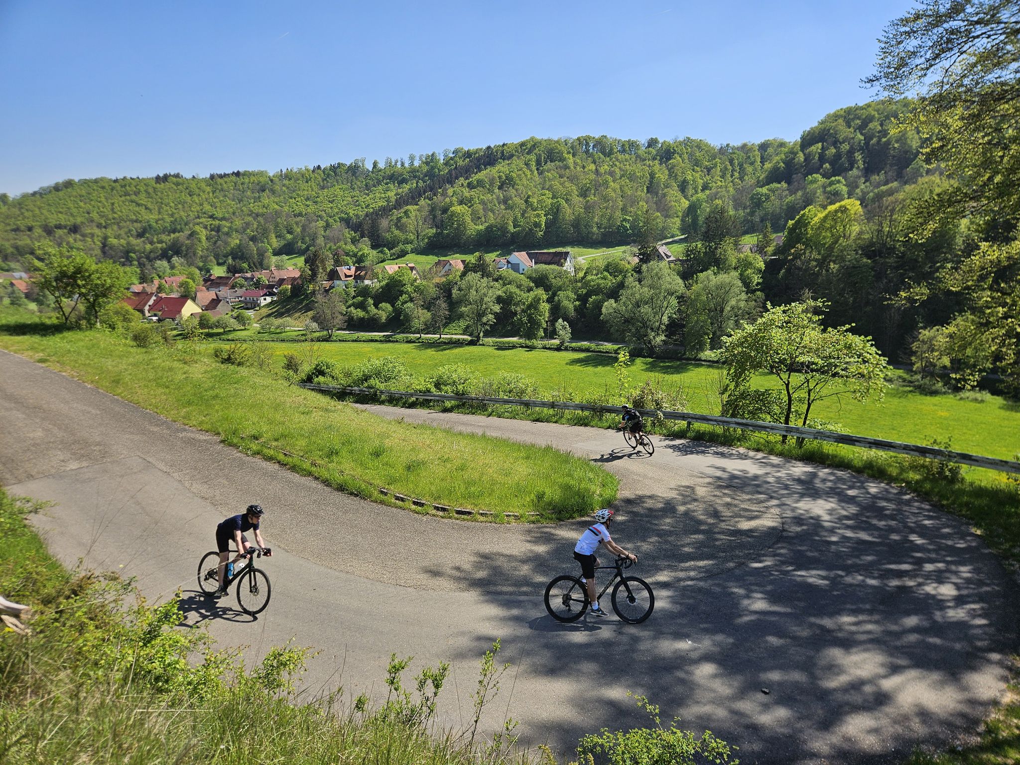
Bus station hiking trails around Merklingen are situated within the Swabian Alb, a region characterized by diverse natural beauty. The landscape features a mix of forests, valleys, and plateaus, offering varied terrain for outdoor activities. Hikers can explore karstified valley tributaries and characteristic juniper heaths, with paths winding through serene forests and idyllic meadow valleys. The area is part of the Geopark Swabian Jura, known for its unique geological formations.
Best bus station hiking trails around Merklingen
- The most popular bus station hiking route is Ulm38 Trail Hut – Steinlinde from 1866 loop from Merklingen, a 7.9 miles (12.7 km) trail that takes 3 hours 25 minutes to complete, passing by the historic Steinlinde from 1866.
- Another top favourite among local hikers is Trimmdichtreppe Forest Steps loop from Merklingen, a moderate 10.1 miles (16.2 km) path that includes the notable Trimmdichtreppe Forest Steps.
- Local hikers also love the Steinlinde from 1866 – Trimmdichtreppe Forest Steps loop from Merklingen, a 7.3 miles (11.8 km) trail leading through sparse mixed forest and past orchard meadows, often completed in about 3 hours 9 minutes.
- Hiking around Merklingen is defined by its location within the Swabian Alb, featuring forests, karstified valleys, and juniper heaths. The network offers options for various ability levels, from easy strolls to moderate routes.
- The routes in Merklingen are highly rated by the komoot community with an average score of 4.5 stars from over 12000 reviews. More than 51000 hikers have used komoot to explore Merklingen's varied terrain.
Last updated: June 28, 2026
4.6
(18)
67
hikers
12.7km
03:25
160m
160m
Moderate hike. Good fitness required. Easily-accessible paths. Suitable for all skill levels.
4.7
(3)
12
hikers
16.2km
04:21
190m
190m
Moderate hike. Good fitness required. Easily-accessible paths. Suitable for all skill levels.

Sign up for free
4.2
(5)
18
hikers
11.5km
03:04
130m
130m
Moderate hike. Good fitness required. Easily-accessible paths. Suitable for all skill levels.
3.7
(3)
9
hikers
7.52km
02:01
90m
90m
Moderate hike. Good fitness required. Easily-accessible paths. Suitable for all skill levels.
5.0
(9)
18
hikers
3.97km
01:03
40m
40m
Easy hike. Great for any fitness level. Easily-accessible paths. Suitable for all skill levels.
Get access to more routes and recommendations from other explorers.
Sign up for free
Already have an account?
Our route recommendations are based on thousands of hikes, rides, and runs completed by other people on komoot.
Start today with a free account
Your next adventure awaits.
Login or Signup


Tips from the Community


This is a medieval boundary stone. The "pretty stone" bears the three coats of arms of the neighboring territories. The "pig" is an elephant, the heraldic animal of the County of Helfenstein, which extended this far. The other boundary coats of arms are those of Württemberg and the Imperial City of Ulm.
1
0

With a lot of imagination, that's a lion.
0
0
No outsider knows what the point of that is 🤷♂️
0
0

Somehow now and a little funny. But actually I was disappointed. Visually I had expected a lot more. And in the area there are beautiful rock and stone formations that I found much more worth seeing.
1
0
A very beautiful piece of nature. Relaxing and slowing down.
1
0

https://regional.bahn.de/regionen/baden-wuerttemberg/ueb/partner/neubaustrecke-wendlingen-ulm Welcome to the new Wendlingen – Ulm line The new IRE 200 Wendlingen - Merklingen - Ulm: regional transport with a top speed of 200 km/h
1
0
Frequently Asked Questions
How many hiking trails are accessible from bus stations around Merklingen?
There are 19 hiking routes in the Merklingen area that are easily accessible from local bus stations. These include 11 easy and 8 moderate trails, offering a good variety for different fitness levels.
Are there any easy, family-friendly hikes available from Merklingen's bus stops?
Yes, Merklingen offers several easy routes perfect for families. One popular option is the Bleich loop from Merklingen, an easy 3.9 km hike that takes just over an hour. Many trails feature accessible paths suitable for all skill levels, making them ideal for a relaxed family outing.
What kind of landscapes can I expect to see on bus station hikes near Merklingen?
Hiking from Merklingen's bus stations will immerse you in the diverse landscapes of the Swabian Alb. You'll encounter serene forests, idyllic meadow valleys, and characteristic juniper heaths. The region is also part of the Geopark Swabian Jura, so expect unique geological formations and karstified valleys. The changing seasons bring vibrant colors, from spring blooms to autumn hues.
Are there any circular hiking routes starting from Merklingen bus stations?
Yes, many routes are designed as circular walks, allowing you to start and end at the same bus station. For example, the Ulm38 Trail Hut – Steinlinde from 1866 loop from Merklingen is a moderate 12.7 km circular hike, and the The Stone Lion – Steinlinde from 1866 loop from Merklingen offers a shorter 7.5 km option.
What are some interesting points of interest or landmarks along these trails?
Along the bus station hiking trails, you can discover several notable points of interest. These include the historical Wasserberghaus, the Kornberg Hut, and the Hiltenburg Hut. You might also encounter the historical 'Steinlinde from 1866' and the 'Trimmdichtreppe Forest Steps' on certain routes.
Can I bring my dog on the hiking trails around Merklingen?
Merklingen's hiking trails are generally dog-friendly, allowing you to enjoy the beautiful Swabian Alb scenery with your canine companion. Always remember to keep your dog on a leash, especially in nature reserves or near livestock, and to clean up after them to preserve the natural environment for everyone.
Are there any longer, more challenging hikes accessible by bus from Merklingen?
For those seeking a longer challenge, the Trimmdichtreppe Forest Steps loop from Merklingen is a moderate 16.2 km hike, taking around 4 hours and 20 minutes. Another good option is the Steinlinde from 1866 – Trimmdichtreppe Forest Steps loop from Merklingen, which covers 11.8 km.
What do other hikers say about the bus station trails in Merklingen?
The hiking trails around Merklingen are highly rated by the komoot community, with an average score of 4.53 out of 5 stars from over 12,000 ratings. Reviewers often praise the well-maintained paths, the diverse natural beauty of the Swabian Alb, and the convenience of accessing these routes via public transport.
Are there any lakes or water features accessible from Merklingen's bus-accessible trails?
While not directly on every bus-accessible trail, the broader Merklingen area is close to several beautiful water features. You can find highlights like the famous Blautopf, the Lonetopf (Source of the Lone River), and Rohrachweiher. Some of these might require a short additional journey or a dedicated hike to reach.
What is the best season for hiking from Merklingen's bus stations?
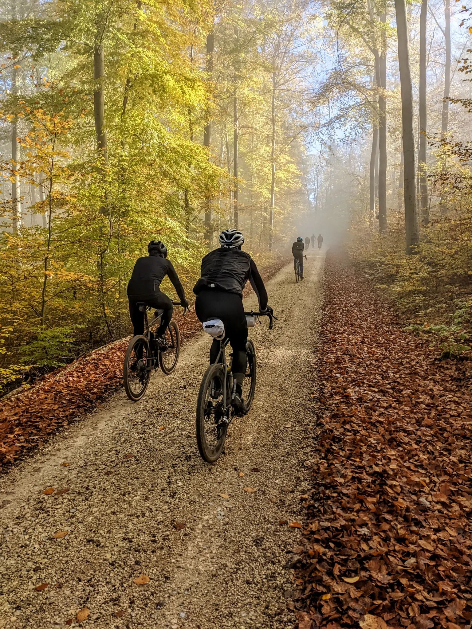
Merklingen offers beautiful hiking experiences throughout the year. Spring is vibrant with blooming flowers, while autumn transforms the forests into a spectacle of warm colors. Summer provides pleasant temperatures for longer excursions, and even winter hikes can be magical, though some paths might require appropriate gear. Always check local weather conditions before heading out.
Are there any places to eat or rest along the bus-accessible routes?
While specific bus-accessible routes may vary, the Merklingen region and the Swabian Alb generally offer opportunities for refreshment. You might find huts like the Wasserberghaus or local inns in nearby villages. It's always a good idea to check the route details on komoot for specific refreshment stops or pack your own snacks and drinks.
Most popular routes around Merklingen
Most popular attractions around Merklingen

Get inspired with the komoot mobile app


Explore more
Browse the best Hikes in other regions.
