The best road cycling routes around Mels
4.4
(331)
8,643
riders
11
rides
Road cycling around Mels offers diverse terrain, from the flat plains of the Rhine Valley to the foothills of the Alps. The region features a mix of open agricultural landscapes, riverside paths, and ascents into mountainous areas. Road cyclists can expect routes that traverse valleys, pass through small villages, and include climbs with varying gradients.
Best road cycling routes around Mels
- The most popular road cycling route is Versam Curves – Valendas Wooden Fountain loop from Mels, a 78.2…
Last updated: September 29, 2026
4.8
(5)
266
riders
125km
05:47
1,470m
1,470m
Hard road ride. Very good fitness required. Some segments of this route may be unpaved and difficult to ride.
5.0
(2)
146
riders
30.3km
01:22
310m
310m
Moderate road ride. Good fitness required. Mostly well-paved surfaces and easy to ride.

4.8
(4)
211
riders
Easy road ride. Great for any fitness level. Mostly well-paved surfaces and easy to ride.
3.0
(1)
45
riders
125km
06:22
1,650m
1,650m
Hard road ride. Very good fitness required. Some segments of this route may be unpaved and difficult to ride.
63
riders
40.6km
02:12
720m
720m
Moderate road ride. Good fitness required. Mostly well-paved surfaces and easy to ride.
Get access to more routes and recommendations from other explorers.
Already have an account?
Our route recommendations are based on thousands of hikes, rides, and runs completed by other people on komoot.
Start today with a free account
Your next adventure awaits.
Popular around Mels

Lake and Alps Adventure – explore 100 dreamy places in our cycling region!

Sardona World Heritage Trail – Where the Alps once formed
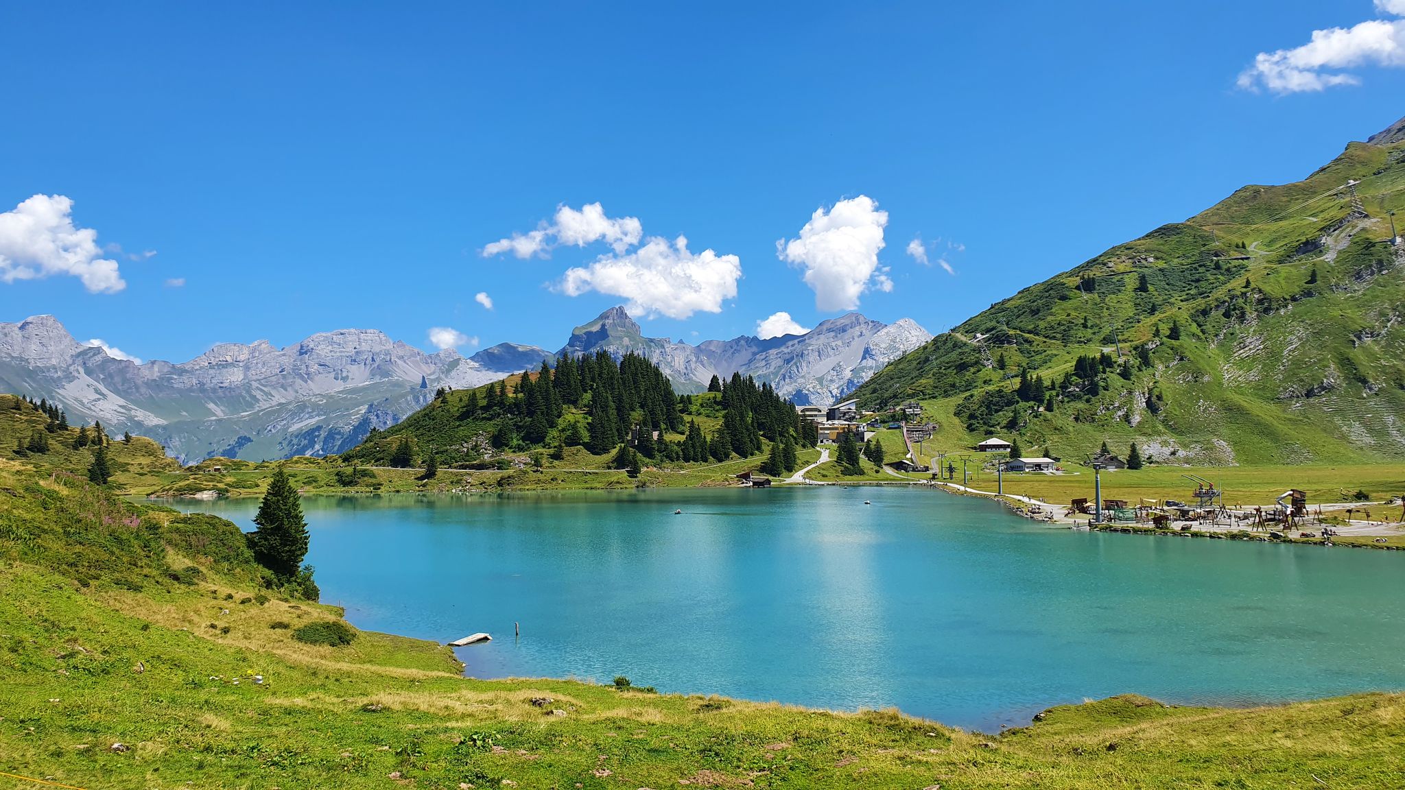
Via Alpina – The 15 stages of the Green Route
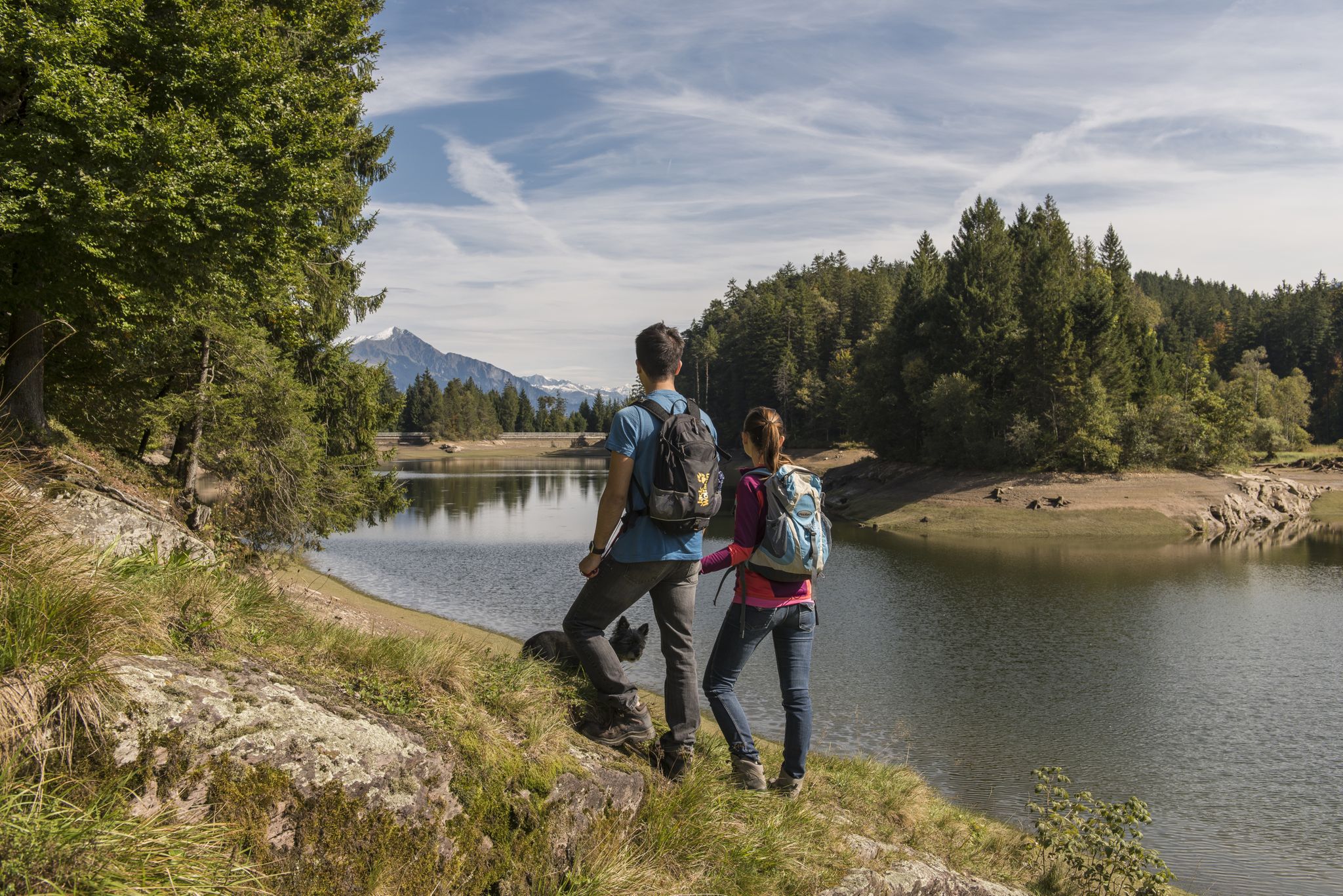
Summer in Eastern Switzerland – 10 hikes in Heidiland

Blue lakes, wide panoramas & autumnal splendour – hiking in Heidiland
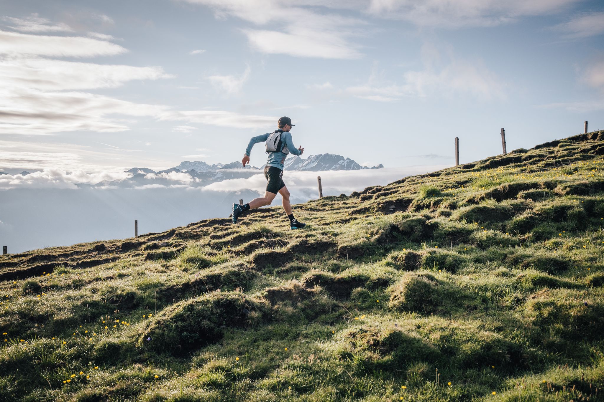
Trailrunner-Geheimtipp: Herausfordernde Trails & bequeme Rückfahrt mit der Seilbahn Palfries
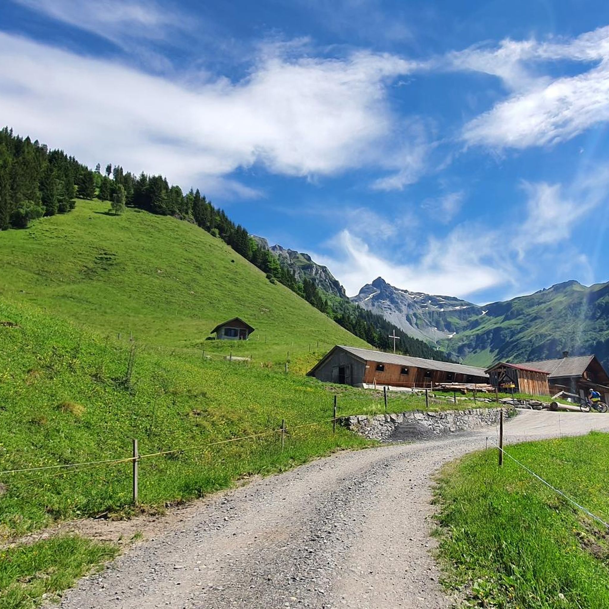
Hiking around Mels
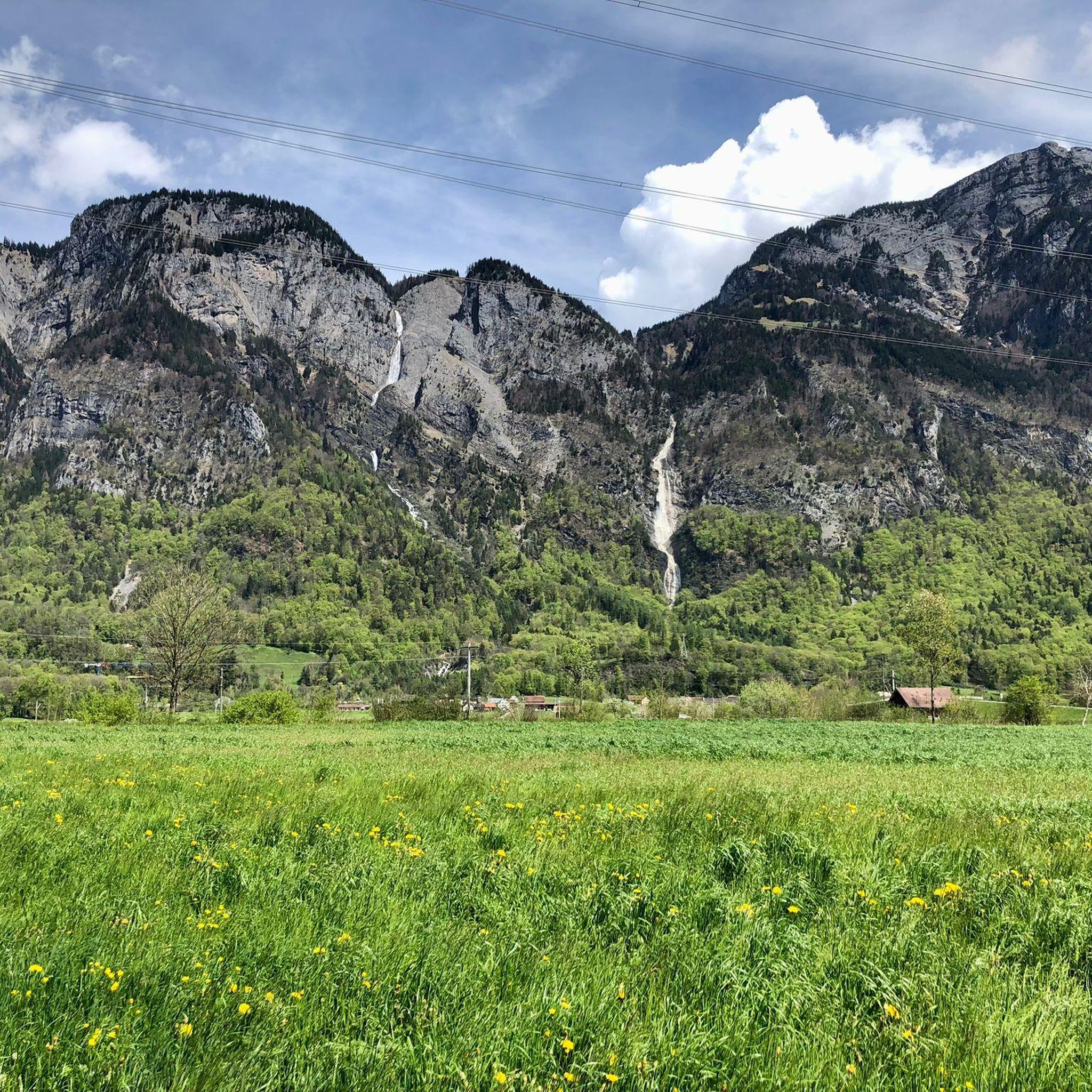
Cycling around Mels
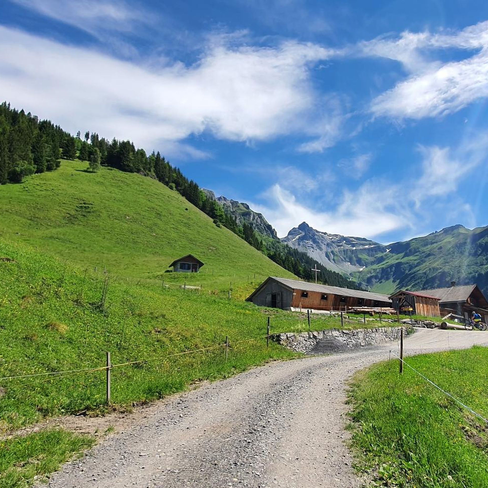
MTB Trails around Mels
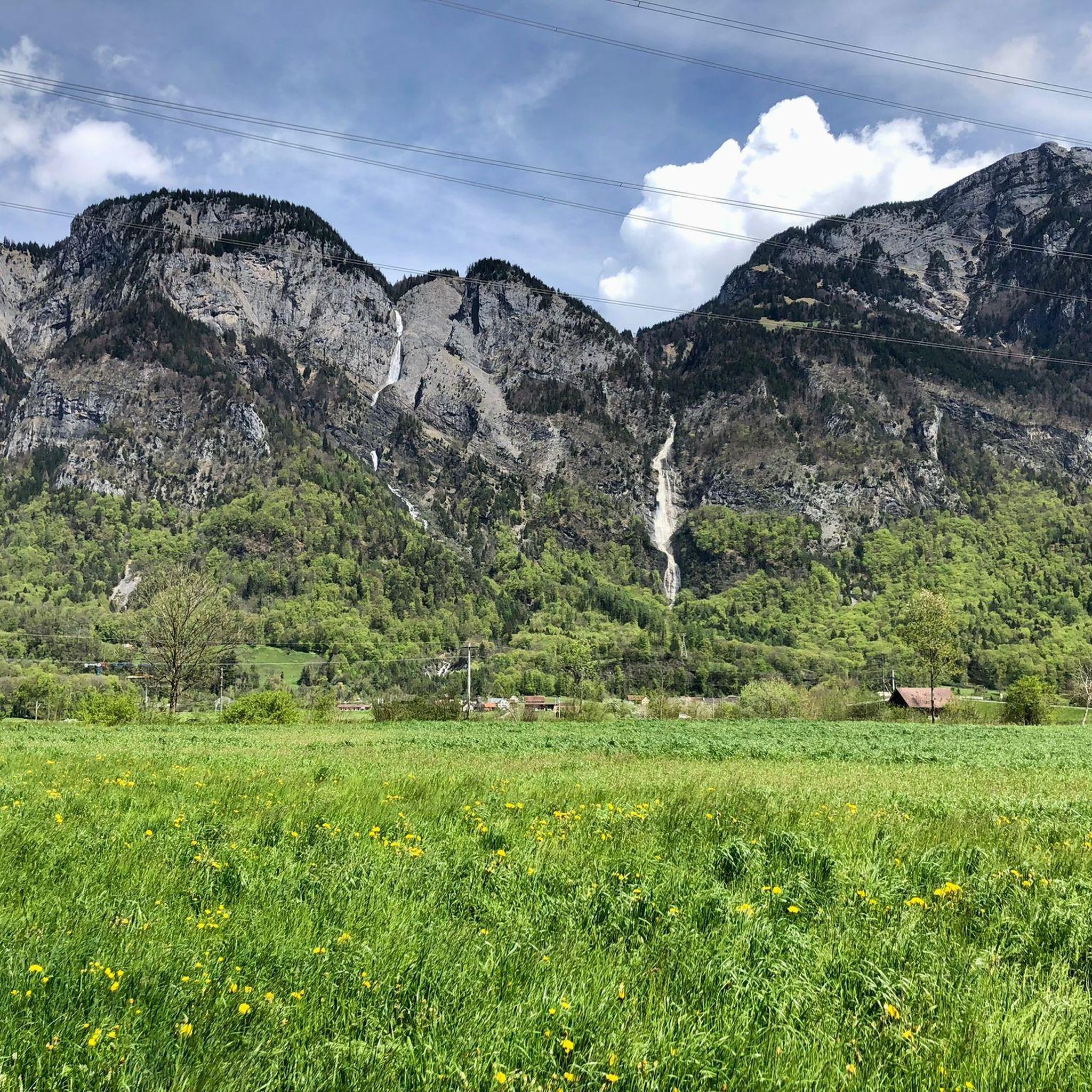
Running Trails around Mels
Other adventures around Mels


Tips from the Community

Bad Ragaz is a beautiful, small town from which you can hike into the Tamina Gorge. https://de.wikipedia.org/wiki/Bad_Ragaz
0
0

The Sargans Castle (Schloss Sargans) is an imposing medieval fortress located on a rocky outcrop overlooking the old town of Sargans, in the Canton of St. Gallen in Switzerland. Considered a cultural asset of national importance, it is one of the most important symbols of the Sarganserland region.
0
0

View to the Regitzer Spitz and the Ellhorn.
2
0

Somehow the town is pretty dead, passed through several times but haven't seen anyone other than other tourists.
0
0

A really big, breaded schnitzel for everyone.
0
0
Everyone wishing to enter Switzerland at this point must pass through this low and narrow gate. It somehow makes you aware that you are entering federal military territory and that we, as Switzerland, have an army for national defense.
0
0

easy to drive and scenically spectacular
0
0

A place of power in a special class
0
0
Frequently Asked Questions
What kind of terrain can I expect when road cycling around Mels?
Road cycling around Mels offers diverse terrain, ranging from the flat plains of the Rhine Valley to the foothills of the Alps. You'll find routes traversing open agricultural landscapes, riverside paths, and ascents into mountainous areas with varying gradients.
Are there easy or beginner-friendly road cycling routes in Mels?
Yes, Mels provides options for all skill levels. For an easy and relaxed ride, consider the Old Rhine Bridge at Vaduz – Old Rhine Bridge Vaduz–Sevelen loop from Mels. This 25.8-mile (41.6 km) path offers a relatively flat ride along the Rhine.
What are some challenging road cycling routes with significant climbs around Mels?
For experienced cyclists seeking a challenge, the Versam Curves – Valendas Wooden Fountain loop from Mels is a difficult 78.2-mile (125.8 km) route featuring significant elevation gain through varied landscapes. Another demanding option is the Heidsee (Lake Heid) – Old Town and St. Martin's Church, Chur loop from Mels, which covers 78.2 miles (125.8 km) with substantial climbing.
What do other road cyclists enjoy most about the routes in Mels?
The road cycling routes in Mels are highly rated by the komoot community, with an average score of 4.3 stars from nearly 100 reviews. Cyclists often praise the varied terrain, from valley roads to moderate climbs, and the scenic views of the surrounding mountains.
Are there any loop road cycling routes available from Mels?
Yes, many routes around Mels are designed as loops. Examples include the St. Luzisteig Barracks – St. Luzisteig Pass loop from Mels, a 18.9-mile (30.5 km) trail, and the Mapraggsee – View of Sargans Castle loop from Mels, which is 25.2 miles (40.6 km) long.
What are the best times of year for road cycling in Mels?
The best time for road cycling in Mels is generally from spring to autumn (April to October). During these months, the weather is typically mild, and mountain passes are usually clear of snow, offering optimal conditions for exploring both valley routes and higher elevations.
What scenic viewpoints or attractions can I find along road cycling routes near Mels?
Road cycling routes around Mels offer views of the surrounding mountains and pass through charming villages. You might also encounter natural attractions like waterfalls, such as the Segnesboden Waterfall or the Batöni Waterfall Arena. Some routes also offer views of historical sites like Sargans Castle.
Are there places to stop for refreshments or cafes along the road cycling routes?
While specific cafes are not listed for each route, the routes often pass through small villages where you can find local eateries and cafes. For longer rides, consider routes that go near larger towns like Chur, which offer more options. Additionally, some routes might pass by mountain huts like Sardona Hut or Pizol Hut, which can offer refreshments.
How many road cycling routes are available around Mels?
There are over 10 distinct road cycling routes around Mels documented on komoot, catering to various difficulty levels and distances. This includes 2 easy, 6 moderate, and 2 difficult routes.
Where can I find parking for road biking trails in Mels?
Mels, being a well-established community, typically offers public parking facilities in and around the town center, which can serve as convenient starting points for many routes. Specific parking details for individual routes are often available on their respective komoot tour pages.
Are there any less crowded road cycling options around Mels?
While popular routes can see more traffic, exploring routes during off-peak hours or choosing trails that venture further into the valleys or foothills can offer a more tranquil experience. The region's extensive network allows for finding quieter paths away from the main thoroughfares.
Most popular attractions around Mels

Get inspired with the komoot mobile app


Explore more
Browse the best Road cycling routes in other regions.
