The best road cycling routes around Medel (Lucmagn)
4.7
(74)
4,345
riders
24
rides
Road cycling around Medel (Lucmagn) features routes through the Swiss Alps, characterized by high mountain passes, deep valleys, and winding roads. The region's terrain includes significant elevation changes, offering challenging climbs and descents. Cyclists navigate through alpine landscapes, often alongside rivers and past traditional villages.
Best road cycling routes around Medel (Lucmagn)
- The most popular road cycling route is Runda Curnera – Grisons' Road cycling Menu, a 31.7 miles (51.0 km) trail that takes 3 hours 1 minute to…
Last updated: July 7, 2026
4.8
(6)
250
riders
51.0km
03:01
1,290m
1,290m
Hard road ride. Very good fitness required. Some segments of this route may be unpaved and difficult to ride.
4.9
(14)
535
riders
112km
05:39
1,830m
1,830m
Hard road ride. Very good fitness required. Some segments of this route may be unpaved and difficult to ride.

Sign up for free
4.6
(16)
510
riders
40.9km
02:38
1,080m
1,080m
Hard road ride. Very good fitness required. Some segments of this route may be unpaved and difficult to ride.
5.0
(6)
348
riders
94.4km
05:57
2,530m
2,530m
Hard road ride. Very good fitness required. Some segments of this route may be unpaved and difficult to ride.
4.1
(8)
271
riders
73.1km
04:52
2,020m
2,020m
Hard road ride. Very good fitness required. Some segments of this route may be unpaved and difficult to ride.
Get access to more routes and recommendations from other explorers.
Sign up for free
Already have an account?
Our route recommendations are based on thousands of hikes, rides, and runs completed by other people on komoot.
Start today with a free account
Your next adventure awaits.
Login or Signup
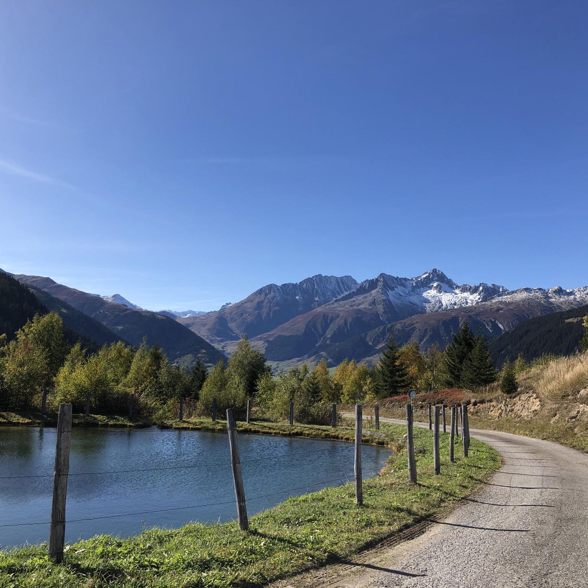
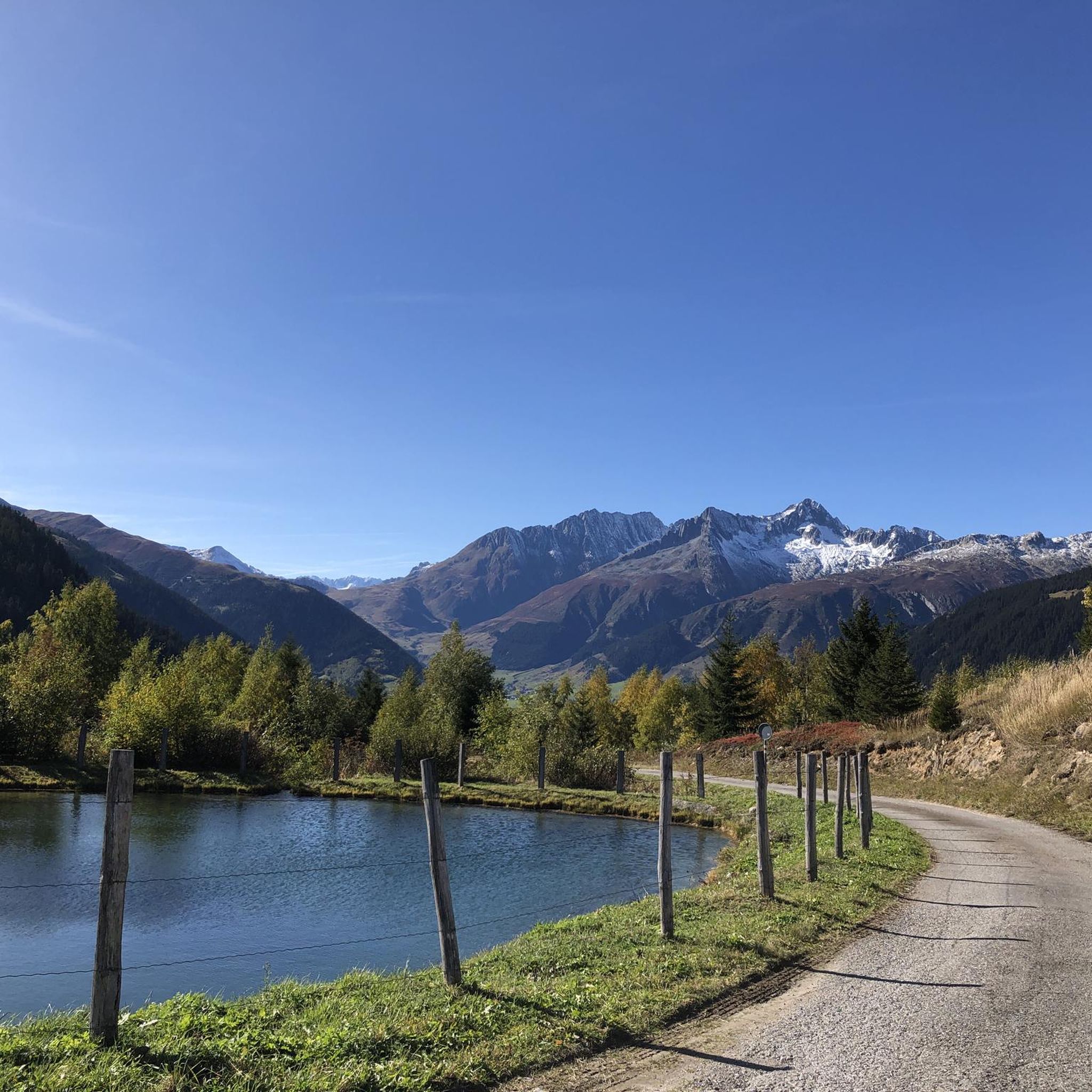
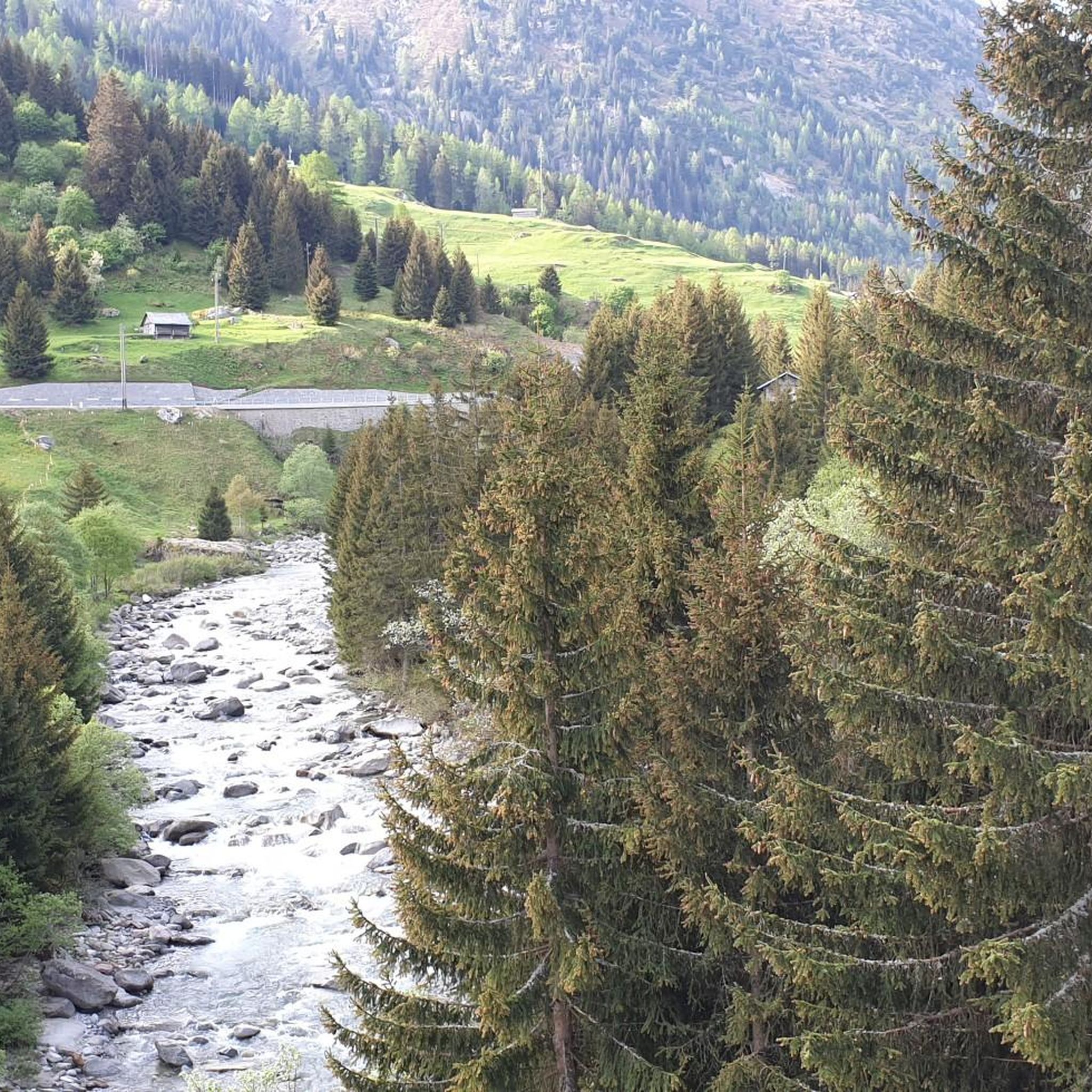
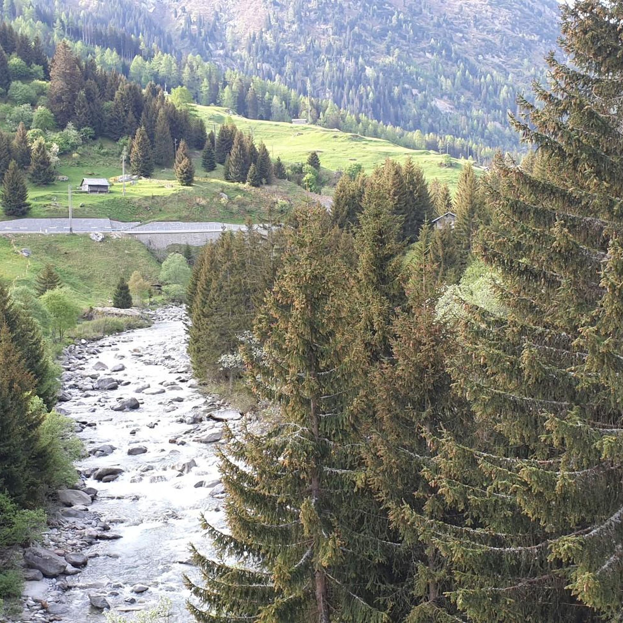

Tips from the Community


pretty here, very very pretty. It is worth a visit.
3
0

easy to drive and scenically spectacular
0
0

St. Gotthard Pass The Gotthard Pass divides waterways and connects various cultural and linguistic areas. Its significance as an "Alpine transversal" began at the beginning of the 13th century with the construction of the legendary Devil's Bridge in the Schöllenen Gorge. For many centuries, trade caravans (trading cattle and cheese for grain, wine, rice, and salt), mercenaries, messengers, and even entire armies crossed the pass. Between 1818 and 1836, the canton of Uri, with the help of other cantons, expanded the pass road, thus achieving its predominance among Swiss Alpine passes. The Gotthard Pass has significantly shaped the economy and culture of Central Switzerland for centuries. Until the opening of the Gotthard Railway in 1882, the Gotthard Pass was also used in winter. Dozens of roadmen and shovel workers were employed for this purpose. In 1922, the post bus replaced the stagecoach, and with the introduction of gasoline duties in 1923, the expansion of the pass roads began, continuing to this day. The old pass road on the south side, the Tremola between the top of the pass and Airolo, is still preserved and passable. This stretch of road recalls more tranquil journeys over the Gotthard that occurred not so long ago. In the 19th and 20th centuries, the Gotthard Pass was "condensed" into a myth, a symbol of Switzerland's independence, unity, and identity. Text / Source: Interest Group for Alpine Passes IAP, PO Box 11, 6491 Realp https://alpen-paesse.ch/de/alpenpaesse/gotthardpass
15
1

A place of power in a special class
0
0

Disentis is the largest town in Surselva and NOT Ilanz.
1
0
Ruinaulta Rhine Gorge The Ruinaulta, or Rhine Gorge, is a gorge of the Vorderrhein River, up to 400 meters deep and approximately 13 kilometers long, between Ilanz and the mouth of the Hinterrhein River near Reichenau in the canton of Graubünden in Switzerland. The Romansh name 'Ruinaulta' is composed of the two words ruina (scree slope, quarry) and aulta (high). The Ruinaulta was formed after the Flims Landslide almost 10,000 years ago. At that time, over 10 billion cubic meters of rock broke off between the Flimserstein and Piz Grisch, burying the Vorderrhein Valley between the present-day villages of Castrisch and Reichenau under a mass of debris several hundred meters thick. Because the Vorderrhein River could no longer drain away, a lake was dammed over a length of approximately 25 kilometers. Over time, the river cut deep into the landslide, and the resulting lake drained away completely. What remained was the Ruinaulta, with its steep limestone scree cliffs in impressive erosion formations. Text / Source: Wikipedia https://de.wikipedia.org/wiki/Ruinaulta
16
0
Frequently Asked Questions
How many road cycling routes are available around Medel (Lucmagn)?
There are over 20 road cycling routes around Medel (Lucmagn) documented on komoot, offering a variety of experiences through the Swiss Alps.
What is the general difficulty level for road cycling in Medel (Lucmagn)?
The majority of road cycling routes in Medel (Lucmagn) are classified as moderate to difficult. There are 14 difficult and 10 moderate options, characterized by significant elevation changes and challenging climbs through alpine landscapes.
Are there any family-friendly road cycling routes in Medel (Lucmagn)?
The road cycling routes around Medel (Lucmagn) are generally geared towards experienced cyclists due to the challenging alpine terrain and significant elevation gains. There are no routes specifically classified as easy, so families with younger children or less experienced riders might find the climbs demanding.
What is the best time of year for road biking around Lucmagn Pass?
The best time for road biking around Lucmagn Pass is typically from late spring to early autumn (June to September), when the passes are clear of snow and weather conditions are generally more stable. Always check local weather and pass status before heading out.
Are there any loop road cycling routes in Medel (Lucmagn)?
Yes, there are several excellent loop routes. For instance, the Oberalp Pass – Oberalp Lake loop from Bugnei is a popular 25.4-mile (40.9 km) trail that takes you through high mountain passes and past alpine lakes. Another option is the Valendas Wooden Fountain – Versam Curves loop from Segnas, offering extensive riding through varied landscapes.
What kind of views can I expect on road bike trails in Medel (Lucmagn)?
Road bike trails in Medel (Lucmagn) offer spectacular alpine views, including deep valleys, high mountain passes, and often views of alpine lakes. You'll frequently ride alongside rivers and past traditional Swiss villages, providing diverse scenic backdrops.
What are some notable landmarks or attractions along the road cycling routes?
The routes often traverse significant mountain passes. You can encounter landmarks like the Oberalp Pass and the Lukmanier Pass, including the Lukmanier Pass summit. These passes offer breathtaking vistas and are key features of the region's cycling experience.
Are there cafes or places to stop for refreshments along the road bike routes near Lucmagn Pass?
Yes, many of the routes, especially those crossing major passes or passing through villages, will have opportunities for refreshments. It's advisable to carry some snacks and water, but you can typically find cafes or restaurants in the larger settlements or at the pass summits.
How does road biking over Lucmagn Pass compare to Oberalp Pass?
Both Lucmagn Pass and Oberalp Pass offer challenging and scenic road cycling experiences in the Swiss Alps. The Oberalp Pass is known for its dramatic switchbacks and views of the Oberalp Lake, while the Lukmanier Pass provides a slightly different alpine character, often feeling more remote. Many routes, like the Oberalp Pass – View of Grimsel Pass loop from Bugnei, incorporate both for a comprehensive alpine challenge.
What do other road cyclists enjoy most about road cycling in Medel (Lucmagn)?
The area is highly rated by the komoot community, with an average score of 4.6 stars from over 70 reviews. Cyclists frequently praise the challenging climbs, the stunning alpine scenery, and the well-maintained roads that make for an exceptional road biking experience.
Are there any advanced road cycling climbs around Lucmagn Pass?
Absolutely. The region is renowned for its challenging ascents. Routes like the Runda Curnera – Grisons' Road cycling Menu, with over 1200 meters of elevation gain, and the Disentis Abbey – Lukmanier Pass loop from Acla da Fontauna, featuring nearly 2000 meters of climbing, offer demanding experiences for advanced road cyclists.
Where can I find parking for road bikes near Lucmagn Pass?
Parking is generally available in the villages surrounding the Lucmagn Pass, such as Disentis/Mustér or other starting points for routes. Specific parking information can often be found in the detailed route descriptions on komoot or by checking local tourist information for designated parking areas.
Most popular routes around Medel (Lucmagn)
Most popular attractions around Medel (Lucmagn)

Get inspired with the komoot mobile app


Explore more
Browse the best Road cycling routes in other regions.
