The best traffic-free bike rides around Haut-Du-Them-Château-Lambert
4.5
(532)
16,979
riders
102
rides
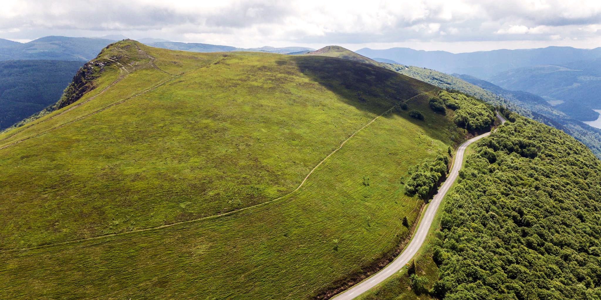
No traffic touring cycling routes around Haut-Du-Them-Château-Lambert navigate the southern slopes of the Vosges mountains, offering diverse terrain for cyclists. The region is characterized by lush forests, open meadows, and natural water features like streams and lakes. Cyclists will encounter varied elevations, from the gentle inclines of river valleys to challenging mountain passes such as La Planche des Belles Filles. This landscape provides a mix of scenic rides and demanding climbs.
Best no traffic touring cycling routes around Haut-Du-Them-Château-Lambert
- The…
Last updated: October 8, 2026
4.8
(32)
178
riders
45.1km
03:08
800m
800m
Hard bike ride. Very good fitness required. Mostly paved surfaces. Suitable for all skill levels.
5.0
(4)
133
riders
71.0km
05:39
1,780m
1,780m
Hard bike ride. Very good fitness required. Mostly paved surfaces. Suitable for all skill levels.

5.0
(3)
90
riders
47.2km
03:31
1,100m
1,100m
Hard bike ride. Very good fitness required. Mostly paved surfaces. Suitable for all skill levels.
5.0
(4)
57
riders
Hard bike ride. Very good fitness required. Mostly paved surfaces. Suitable for all skill levels.
5.0
(3)
58
riders
Hard bike ride. Very good fitness required. Mostly paved surfaces. Suitable for all skill levels.
Get access to more routes and recommendations from other explorers.
Already have an account?
Our route recommendations are based on thousands of hikes, rides, and runs completed by other people on komoot.
Start today with a free account
Your next adventure awaits.
Popular around Haut-Du-Them-Château-Lambert

Other adventures around Haut-Du-Them-Château-Lambert

Tips from the Community

The former train station of Le Thillot (la gare du Thillot) is a historic monument that played a central role in the region's transformation. Opened in 1879 on the railway line between Épinal and Bussang, the SNCF definitively closed the station in 1989. The building has been completely renovated and now houses the Maison des Hautes‑Mynes, the visitor center for the historic copper mines. The former railway bed has been transformed into the Voie Verte des Hautes‑Vosges, a car-free cycle path connecting Remiremont with Bussang. Directly next to the station also starts the Voie du Tacot, an educational route along the old narrow-gauge railway line.
7
0
The end of the climb is somewhat disappointing. There is nothing marked. No photo opportunity. You have a small parking lot, a closed military road, and a picnic spot well hidden under the trees. At the two yellow signs (mainly for hikers) there is the only indication that you are at the Ballon de Servance and at 1158 m. The climb is "cozy". No cars, completely shaded, a few kilometer markers.
7
0

What could that mean in German?
0
0
Old train station in Bussang The line is now about 50km a beautiful cycle path
1
0
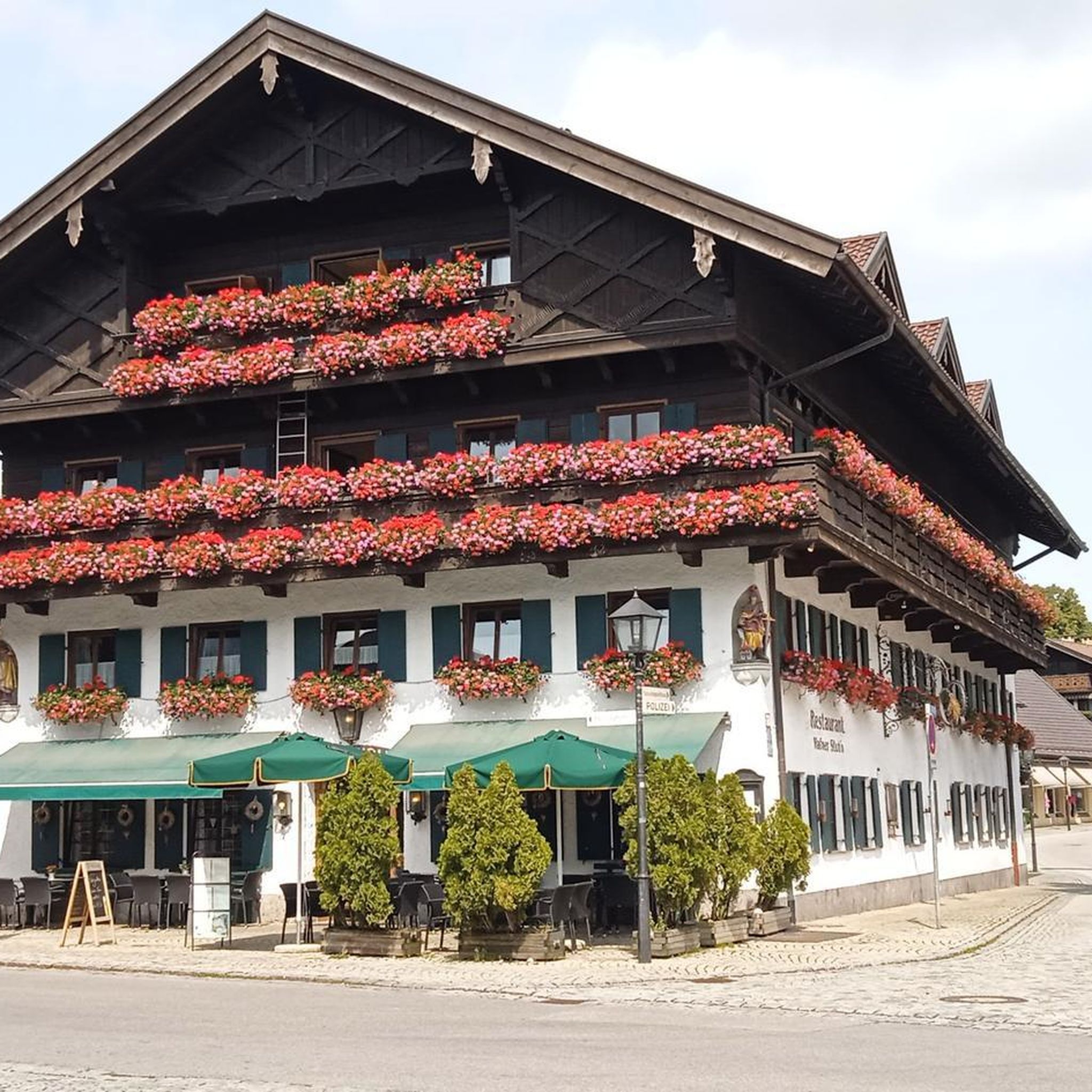
Beautiful building in Bussang
0
0
We now follow the Moselradweg to Koblenz
0
0
beautiful cycle path away from the Moselle source
0
0
Frequently Asked Questions
How many no traffic touring cycling routes are available in Haut-Du-Them-Château-Lambert?
There are over 100 dedicated no traffic touring cycling routes around Haut-Du-Them-Château-Lambert. These routes cater to various skill levels, with a good mix of moderate and difficult options, ensuring a suitable ride for most cyclists.
What kind of natural features can I expect to see on these routes?
The no traffic touring cycling routes in Haut-Du-Them-Château-Lambert traverse a stunning natural environment. You'll encounter lush forests, flower-filled meadows, and scenic water features. Notable natural highlights include the majestic Ballon d'Alsace and the serene Lac des Perches (Star Lake). The region is part of the Parc Naturel Régional des Ballons des Vosges, offering preserved natural beauty.
Are there any waterfalls along the no traffic touring cycling routes?
Yes, the landscape around Haut-Du-Them-Château-Lambert is dotted with beautiful waterfalls. You might encounter the Rummel Waterfalls, the Small and Large Seebach Waterfalls, or the Champe Waterfalls, providing picturesque spots for a break.
What is the best time of year to go touring cycling in Haut-Du-Them-Château-Lambert?
The best time for touring cycling in Haut-Du-Them-Château-Lambert is generally from spring through autumn. During these seasons, the weather is most favorable, and the natural landscapes are at their most vibrant, with lush forests and blooming meadows. Summer offers warm conditions, while spring and autumn provide cooler temperatures and beautiful foliage.
Are there any family-friendly no traffic touring cycling routes?
While many routes in the region feature challenging climbs, there are options suitable for families looking for quieter rides. Look for routes with lower elevation gains and shorter distances. The region's 'voie verte' or 'piste cyclable' sections often provide dedicated, traffic-free paths ideal for family outings.
Can I bring my dog on these touring cycling routes?
Many of the natural trails and quiet roads are suitable for cycling with dogs, provided they are well-behaved and kept on a leash where necessary, especially in protected areas or near wildlife. Always ensure your dog is fit enough for the distance and elevation, and carry enough water for both of you.
Where can I find a moderate no traffic touring cycling route?
For a moderate no traffic touring cycling experience, consider the BRIDGE BOW – The Moselle loop from Saint-Maurice-sur-Moselle. This route covers approximately 43.8 km with manageable elevation changes, offering a pleasant ride through the scenic Moselle valley.
Are there any challenging no traffic touring cycling routes for experienced riders?
Absolutely. For experienced riders seeking a challenge, the region is famous for its demanding ascents. A difficult option is the Chevrères Pass – La Planche des Belles Filles loop from Saint-Maurice-sur-Moselle, which includes significant climbs and covers over 82 km with substantial elevation gain.
What do other touring cyclists enjoy most about cycling in Haut-Du-Them-Château-Lambert?
The area is highly rated by the komoot community, with an average score of 4.6 stars. Reviewers often praise the stunning natural landscapes, the variety of routes from challenging climbs to serene valley rides, and the overall tranquility of the traffic-free paths. The panoramic views from summits like the Ballon de Servance are frequently highlighted.
Are there any circular no traffic touring cycling routes?
Yes, many of the no traffic touring cycling routes in Haut-Du-Them-Château-Lambert are designed as loops, allowing you to start and end at the same point. For example, the La Mer – "La Petite Finlande" loop from Roche d'Aval offers a circular journey through picturesque landscapes.
Are there places to eat or stay near the cycling routes?
Haut-Du-Them-Château-Lambert and its surrounding villages offer various amenities for cyclists. You'll find cafes, restaurants, and accommodation options ranging from guesthouses to hotels. It's advisable to check in advance, especially in smaller villages, for opening hours and availability.
What are the typical elevation changes on these no traffic routes?
The elevation changes vary significantly depending on the route's difficulty. Easy routes might have minimal elevation, while moderate routes can feature several hundred meters of ascent. Difficult routes, such as those tackling mountain passes, can involve over 2000 meters of climbing, like the Viewpoint – Former Le Thillot station loop from Le Thillot.
Most popular routes around Haut-Du-Them-Château-Lambert
Most popular attractions around Haut-Du-Them-Château-Lambert

Get inspired with the komoot mobile app


Explore more
Browse the best Cycling routes in other regions.
