The best traffic-free bike rides around Fraissinet-De-Fourques
4.8
(142)
3,292
riders
6
rides
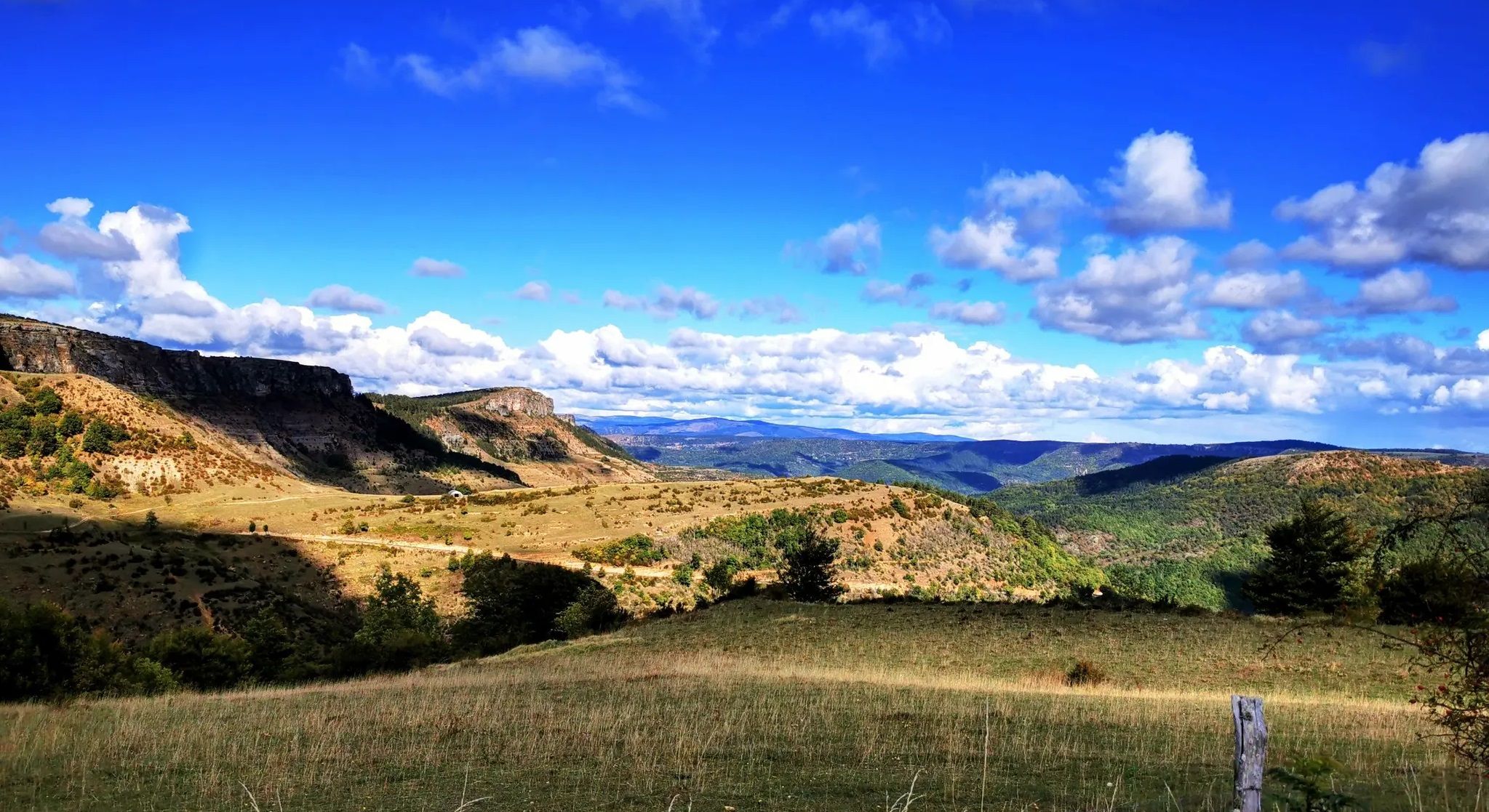
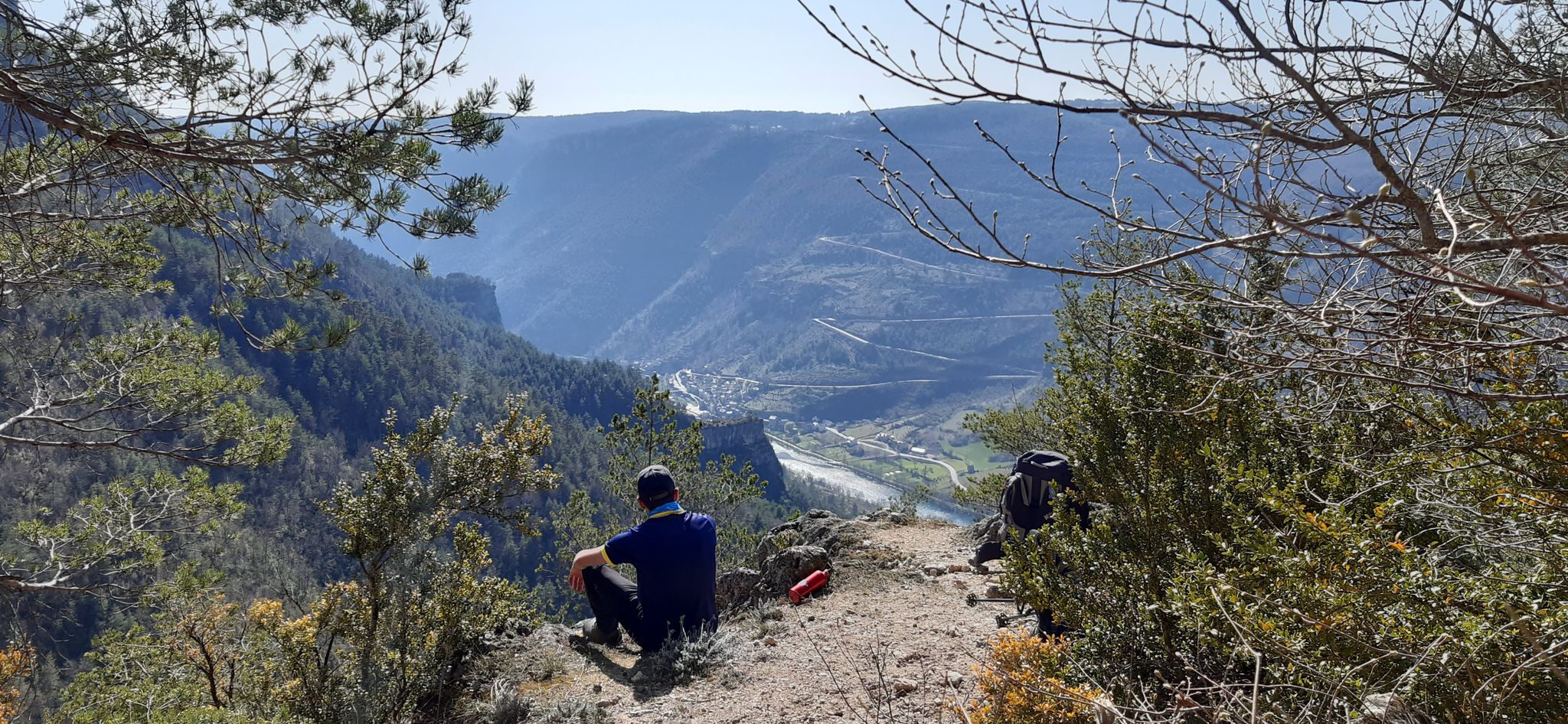
No traffic road cycling routes around Fraissinet-De-Fourques are situated within the Lozère department of the Occitanie region, bordering the Cévennes National Park. The area features a varied topography with altitudes ranging from 660 to 1,343 meters, offering diverse gradients for road cyclists. This landscape is characterized by mountainous terrain, expansive limestone plateaus known as Causses, and deep river gorges. Cyclists can expect significant elevation changes and winding roads through protected natural areas.
Best no traffic road cycling routes around Fraissinet-De-Fourques
…Last updated: May 23, 2026
5.0
(3)
14
riders
52.3km
02:46
760m
760m
Moderate road ride. Good fitness required. Mostly well-paved surfaces and easy to ride.
28
riders
71.5km
04:10
1,660m
1,660m
Hard road ride. Very good fitness required. Mostly well-paved surfaces and easy to ride.

Sign up for free
5.0
(1)
8
riders
25.0km
01:25
360m
360m
Moderate road ride. Good fitness required. Mostly well-paved surfaces and easy to ride.
7
riders
23.9km
01:26
590m
590m
Moderate road ride. Good fitness required. Mostly well-paved surfaces and easy to ride.
4
riders
27.5km
01:43
690m
690m
Moderate road ride. Good fitness required. Mostly well-paved surfaces and easy to ride.
Our route recommendations are based on thousands of hikes, rides, and runs completed by other people on komoot.
Start today with a free account
Your next adventure awaits.
Login or Signup
Popular around Fraissinet-De-Fourques



Other adventures around Fraissinet-De-Fourques


Tips from the Community

Can be fresh even in summer
0
0

Great rides, few cars, magnificent
0
0

This small sacred monument, too, is a symbol of remembrance of the crucifixion and resurrection of Jesus Christ. However, its design is very unique and unlike the usual crosses that often crown mountain peaks. At the end of the triangular base plate, a small wall appears to have been built, its sides terminating in the shape of a stepped gable. In the center is a V-shaped cutout, the ends of which extend significantly beyond the height of the small wall. From this V emerges the longitudinal beam of the cross, which, however, has two crossbeams. This double crossbeam, as well as the lack of a corpus, is typical of the so-called "Lorraine Cross."
3
0

wild remote area
1
0
It can get very hot in summer, take enough drinks with you as there is little or nothing to buy for miles around
0
0
In summer it can get very hot, so be sure to bring water. There are no food options for miles up there.
0
0

Przewalski horse Since 1990, semi-free breeding has been initiated on 300 hectares of the vast Causse Méjean, near the hamlet of Villaret. The Przewalski horse is the last wild horse; no one has ever managed to ride it regularly. The last wild animals disappeared from Mongolia in the 1970s.
0
0

lovely swimming in the river
0
0
Frequently Asked Questions
How many no-traffic road cycling routes are available around Fraissinet-de-Fourques?
There are 5 dedicated no-traffic road cycling routes around Fraissinet-de-Fourques listed in this guide. These routes offer a range of difficulties, from easy to difficult, allowing cyclists to choose an adventure that suits their skill level.
What kind of terrain can I expect on these no-traffic road cycling routes?
The routes traverse the diverse landscapes of the Lozère department and the Cévennes National Park. You can expect significant elevation changes, including challenging climbs and rewarding descents, characteristic of mountainous terrain and passes like the Col de Perjuret. The region features expansive limestone plateaus (Causses) and deep river gorges, offering varied scenery from rocky mounds to coniferous woods.
Are there any easy no-traffic road cycling routes suitable for beginners?
Yes, there is one easy route available. The Przewalski's horses – Nivoliers loop from Causse Méjean is an excellent option for those looking for a less strenuous ride, covering 17.36 km with an elevation gain of 182 meters.
What are some of the most scenic no-traffic road cycling routes in the area?
For breathtaking views, consider the Beautiful view of the Cévennes loop from Molezon. This challenging 71.46 km route offers extensive vistas of the Cévennes landscape. Another option is the Causse Méjean Plateau – Lonely street loop from Le Villaret, which provides a 52.32 km journey across the expansive plateau.
What is the best time of year to go road cycling in Fraissinet-de-Fourques?
The region's mountainous terrain means that spring and autumn generally offer the most pleasant cycling conditions with milder temperatures. Summer can be warm, especially on exposed sections of climbs, so early morning rides are advisable. Winter can bring colder temperatures and potential snow at higher elevations, making some routes less accessible.
Are there any specific regulations for cycling within the Cévennes National Park?
As Fraissinet-de-Fourques is on the edge of the Cévennes National Park, cyclists should be aware of general park regulations. These typically include staying on marked paths and roads, respecting wildlife, and not disturbing the natural environment. While specific permits for road cycling are generally not required, always check local signage for any temporary restrictions or protected areas.
Where can I find parking for these no-traffic road cycling routes?
Parking is generally available in the villages and towns that serve as starting points for these routes. For example, routes starting from Le Villaret, Molezon, Florac-Sainte-Énimie Airfield, or Barre-des-Cévennes will have designated parking areas. It's advisable to check specific village amenities for the most convenient parking options.
What can I see or visit along these no-traffic road cycling routes?
Beyond the stunning natural scenery, you can explore several points of interest. The area is known for its unique geological formations like the Chaos de Nîmes-le-Vieux, a 'city of stones' sculpted by erosion. You might also encounter the Przewalski's horses on routes like the Nivoliers – Przewalski's horses loop from Florac-Sainte-Énimie Airfield. For panoramic views, consider routes that offer glimpses of Mount Aigoual or La Can de l’Hospitalet.
What do other road cyclists enjoy most about cycling in Fraissinet-de-Fourques?
The area is highly rated by the komoot community, with an average score of 4.86 stars. Reviewers often praise the challenging yet rewarding climbs, the stunning panoramic views of the Cévennes and Causses, and the sense of tranquility offered by the low-traffic roads. The immersion in the protected Cévennes National Park is also a frequently highlighted aspect.
Are there any challenging no-traffic road cycling routes for experienced riders?
Absolutely. The Beautiful view of the Cévennes loop from Molezon is classified as difficult, featuring a significant elevation gain of 1663 meters over 71.46 km. This route will test experienced cyclists with its demanding inclines and long distances.
Can I find amenities like cafes or shops along these routes?
While the routes themselves focus on low-traffic roads, you will find amenities in nearby villages and towns. Meyrueis (9 km away) and Florac (13 km away) are popular places with cafes, shops, and restaurants. It's always a good idea to plan your stops and carry sufficient water and snacks, especially on longer or more remote sections.
Are there any circular no-traffic road cycling routes available?
Yes, all the routes listed in this guide are circular, designed to bring you back to your starting point. Examples include the Causse Méjean Plateau – Lonely street loop from Le Villaret and the Barre-des-Cévennes – The Three Maidens loop from Barre-des-Cévennes, offering convenient round trips.
Most popular routes around Fraissinet-De-Fourques
Most popular attractions around Fraissinet-De-Fourques

Get inspired with the komoot mobile app


Explore more
Browse the best Road cycling routes in other regions.
