The best running trails around Fraissinet-De-Fourques
4.3
(10)
795
runners
44
runs
Jogging around Fraissinet-De-Fourques offers a variety of running routes through diverse landscapes. The region features trails with notable elevation changes, including routes through forests and along river valleys. With options ranging from moderate to difficult, runners can find paths that suit their fitness levels.
Best jogging routes around Fraissinet-De-Fourques
- The most popular jogging route is Pauparelle Trail, a 6.9 miles (11.1 km) trail that takes 1 hour 38 minutes to complete. This difficult route features significant elevation gain through…
Last updated: June 24, 2026
4.5
(2)
45
runners
11.1km
01:38
420m
420m
The difficult Pauparelle Trail offers experienced joggers 6.9 miles (11.1 km) of panoramic views over the Gorges de la Jonte and Causse Méje
2
runners
12.7km
01:46
430m
450m
This difficult 7.9-mile jogging loop in Cévennes National Park offers varied forest terrain and 1422 feet of elevation gain.

Sign up for free
5.0
(2)
30
runners
6.51km
00:47
150m
150m
Moderate run. Good fitness required. Mostly paved surfaces. Suitable for all skill levels.
12
runners
10.4km
01:23
340m
340m
Hard run. Very good fitness required. Mostly paved surfaces. Suitable for all skill levels.
12
runners
14.9km
01:55
490m
490m
Hard run. Very good fitness required. Sure-footedness, sturdy shoes and alpine experience required.
Get access to more routes and recommendations from other explorers.
Sign up for free
Already have an account?
Our route recommendations are based on thousands of hikes, rides, and runs completed by other people on komoot.
Start today with a free account
Your next adventure awaits.
Login or Signup
Popular around Fraissinet-De-Fourques

The Grande traversée du Massif Central by gravel bike
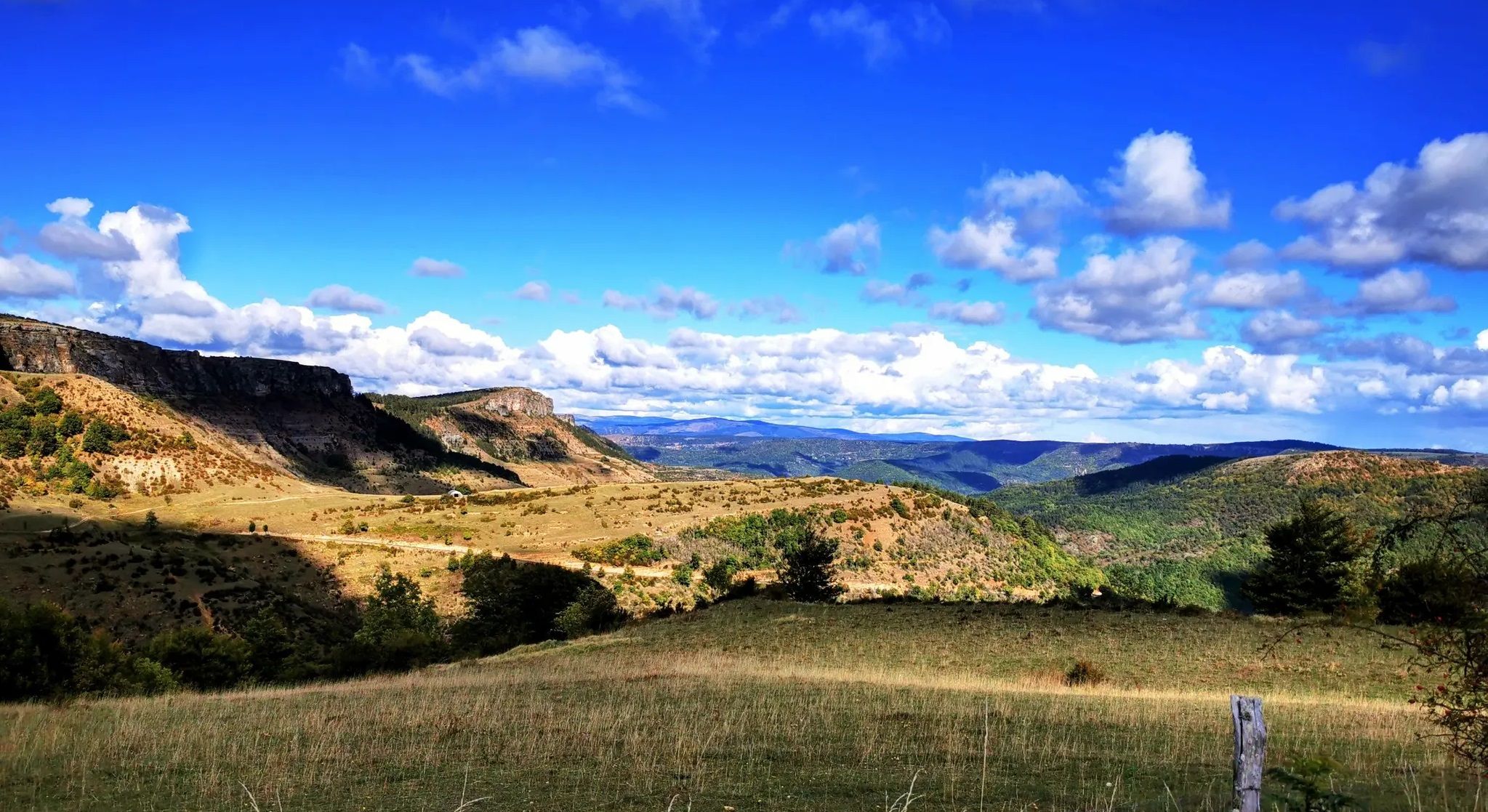
Crossing the Cévennes – a mountain bike trip in the heart of nature
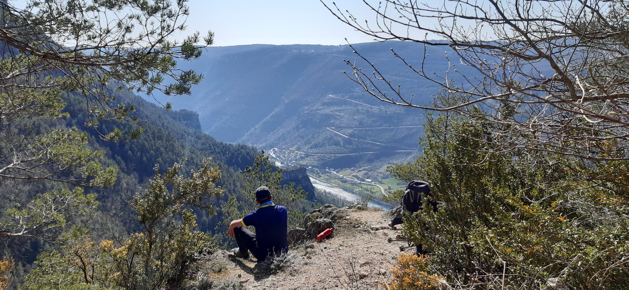
Walking to the rhythm of the Causses — The GRP Tour du Causse Méjean
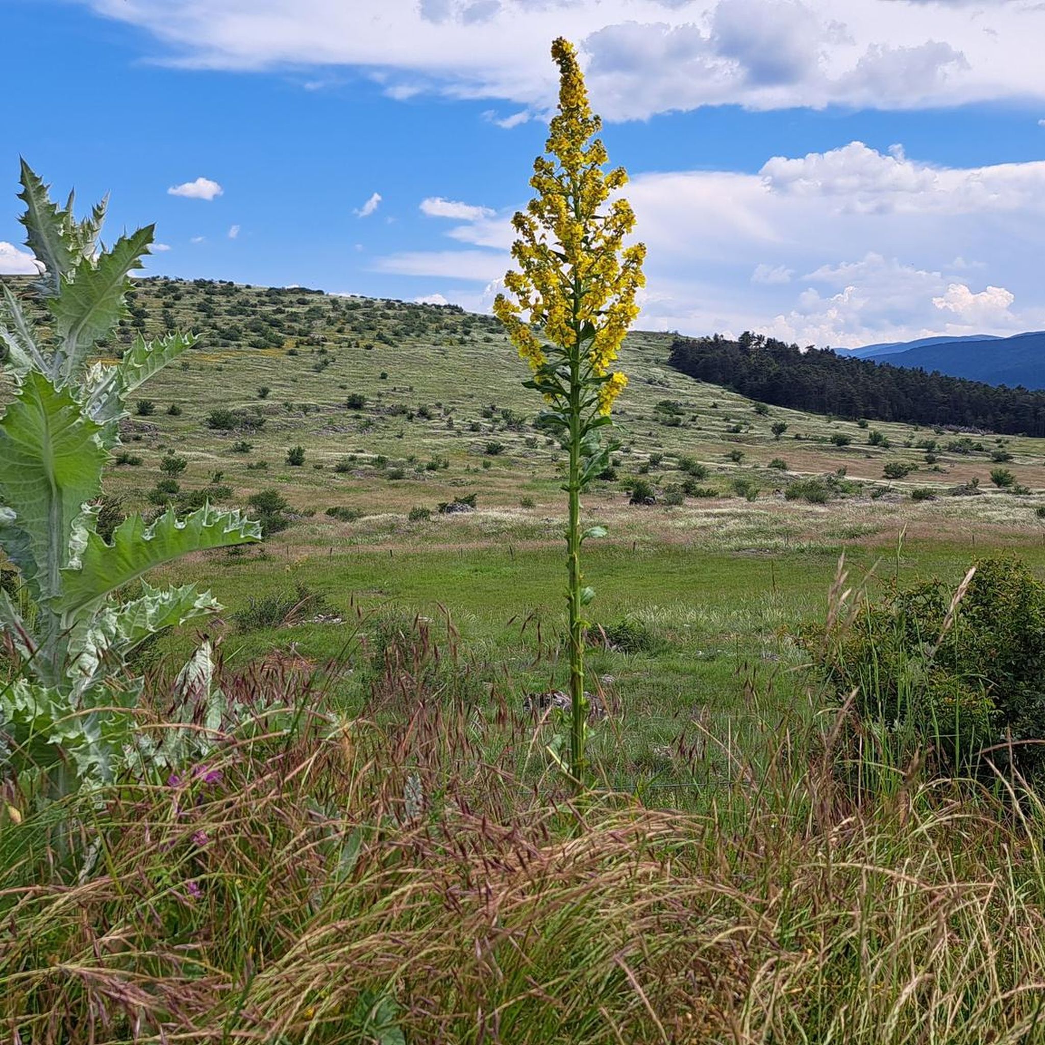
Road Cycling Routes around Fraissinet-De-Fourques
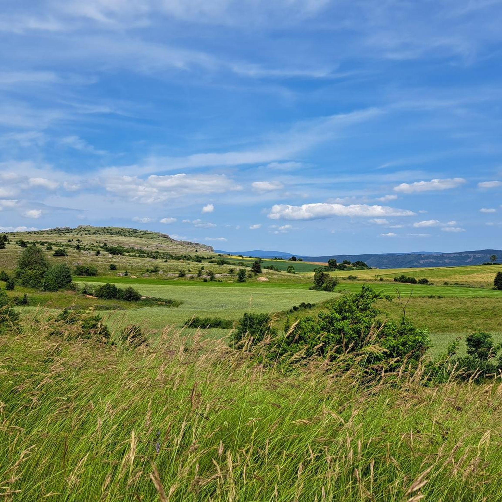
Hiking around Fraissinet-De-Fourques
Cycling around Fraissinet-De-Fourques
MTB Trails around Fraissinet-De-Fourques

Gravel biking around Fraissinet-De-Fourques
Other adventures around Fraissinet-De-Fourques


Tips from the Community

small village nestled at the entrance to the Jonte gorges, incredible possibilities for road, gravel and mountain bike circuits.
0
1

Very nice forest path to get to this place from Vebron.
0
0

Meyruies is a picturesque historic village at the foot of Mont Aigoual and the gateway between the regions of the Cévennes and the Causses. Arrive on the last Sunday of September for a huge market celebrating local produce, grab a coffee in a local café or climb the steps of the Rocher du Chateau for a panoramic view of the village.
1
0

Magnificent view of the Mont Aigual forest on the ridge between the Jonte and Brèze valleys.
0
0
Meyrueis is a pretty village at the confluence of the Jonte, the Béthuzon and the Brèze, which would certainly be the origin of its name "mixture of watercourses" in Occitan (mesclar=mix & rius=course of water).
0
0
Pauparelle, on the heights of Meyrueis, offers magnificent views of the Jonte gorges and Meyrueis.
0
0

Frequently Asked Questions
How many running routes are available in Fraissinet-De-Fourques?
There are over 40 dedicated running routes around Fraissinet-De-Fourques, offering a wide range of options for different fitness levels and preferences.
Are there any easy running trails for beginners in Fraissinet-De-Fourques?
While most routes in Fraissinet-De-Fourques are moderate to difficult due to the region's varied terrain and elevation changes, there is at least one easy running trail available. For a less strenuous experience, consider routes with minimal elevation gain.
What kind of terrain can I expect on the jogging routes in this region?
The running routes in Fraissinet-De-Fourques are characterized by diverse terrain, including forest paths and trails winding through river valleys. You should be prepared for varying elevation changes, as many routes feature significant climbs and descents.
Are there any circular running routes around Fraissinet-De-Fourques?
Yes, many of the running routes in the area are circular, allowing you to start and finish at the same point. An example is the Clock Tower – Meyrueis Stone Bridge loop from Meyrueis, which is a moderate 4.0-mile (6.5 km) trail.
What are some scenic viewpoints or natural attractions I can see while running?
The region offers stunning natural beauty. You might encounter highlights such as the La Can de l’Hospitalet viewpoint or enjoy a View of the Gorges du Tarn. The Forest of l'Aigoual Trail also offers a challenging experience through dense woodland.
What do other runners say about the trails in Fraissinet-De-Fourques?
The running routes in Fraissinet-De-Fourques are highly rated by the komoot community, with an average score of 4.25 stars from 9 reviews. Over 700 runners have explored the varied terrain, often praising the challenging climbs and beautiful natural surroundings.
Are there any running routes that pass by interesting landmarks or historical sites?
Yes, some routes offer glimpses of local landmarks. For instance, the Clock Tower – Meyrueis Stone Bridge loop from Meyrueis takes you through Meyrueis and past a historic stone bridge, offering a blend of natural beauty and local charm.
What is the typical difficulty level of running trails in Fraissinet-De-Fourques?
The majority of running trails in Fraissinet-De-Fourques are classified as moderate to difficult. Out of 43 routes, 22 are moderate and 20 are difficult, indicating that many paths involve significant elevation changes and challenging terrain.
Can I find longer running routes for endurance training?
Absolutely. For those looking for longer distances and more challenging runs, routes like the Forest of l'Aigoual Trail, at 7.9 miles (12.7 km), or the Marquaires Tunnel – Col Salidès loop from Bassurels, at 8.1 miles (13.0 km), provide excellent options for endurance training with substantial elevation.
Are there any running routes suitable for families with children?
While many routes are moderate to difficult, families looking for a more relaxed experience might consider the single easy route available or shorter moderate options. Always check the route details for distance and elevation to ensure it's suitable for all family members.
What is the best time of year for running in Fraissinet-De-Fourques?
The Cévennes region, where Fraissinet-De-Fourques is located, generally offers pleasant running conditions in spring and autumn with milder temperatures. Summer can be warm, especially at lower elevations, while winter might bring colder weather and potential snow at higher altitudes like Mount Aigoual. Always check local weather conditions before heading out.
Are there any running routes that follow river valleys?
Yes, the region features running routes that wind through picturesque river valleys. The Meyrueis and the Jonte River – La Jonte loop from Meyrueis is a great example, offering a moderate 6.1-mile (9.8 km) run along the Jonte River.
Most popular routes around Fraissinet-De-Fourques
Most popular attractions around Fraissinet-De-Fourques

Get inspired with the komoot mobile app


Explore more
Browse the best Running Trails & Routes in other regions.
