The best traffic-free bike rides around Champfromier
4.6
(117)
3,885
riders
26
rides
Road cycling around Champfromier offers diverse terrain within the Haut-Jura Regional Natural Park, characterized by the dramatic Jura Mountains and the scenic Valserine Valley. The region features significant elevation changes, with landscapes encompassing forests, meadows, and cliffs. Cyclists can navigate routes ranging from 480 meters to over 1,500 meters in elevation, providing both challenging climbs and rewarding descents. This area, part of the Ain department, is known for its quiet roads and varied cycling opportunities.
Best no traffic road cycling…
Last updated: May 22, 2026
161
riders
71.2km
03:34
940m
940m
Hard road ride. Very good fitness required. Mostly well-paved surfaces and easy to ride.
13
riders
77.2km
04:25
1,600m
1,600m
Hard road ride. Very good fitness required. Mostly well-paved surfaces and easy to ride.

Sign up for free
13
riders
27.2km
01:45
830m
840m
Moderate road ride. Good fitness required. Mostly well-paved surfaces and easy to ride.
5.0
(1)
18
riders
27.3km
01:32
590m
590m
Moderate road ride. Good fitness required. Some segments of this route may be unpaved and difficult to ride.
5.0
(2)
14
riders
29.7km
01:44
650m
650m
Moderate road ride. Good fitness required. Some segments of this route may be unpaved and difficult to ride.
Get access to more routes and recommendations from other explorers.
Sign up for free
Already have an account?
Our route recommendations are based on thousands of hikes, rides, and runs completed by other people on komoot.
Start today with a free account
Your next adventure awaits.
Login or Signup
Popular around Champfromier
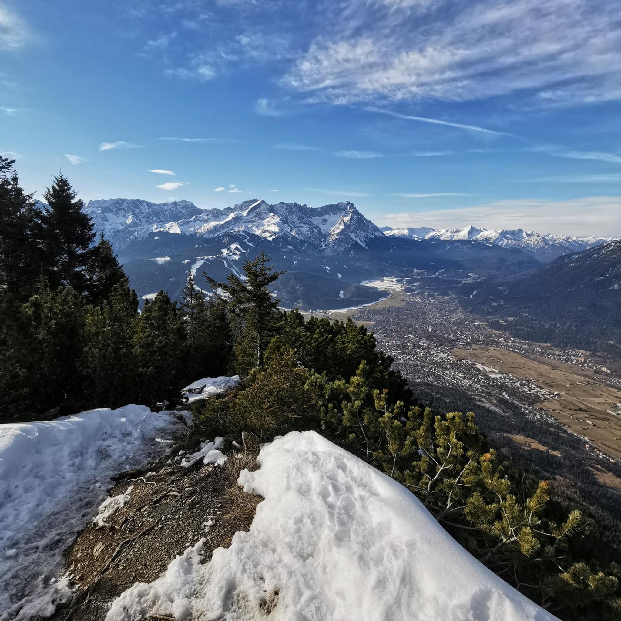
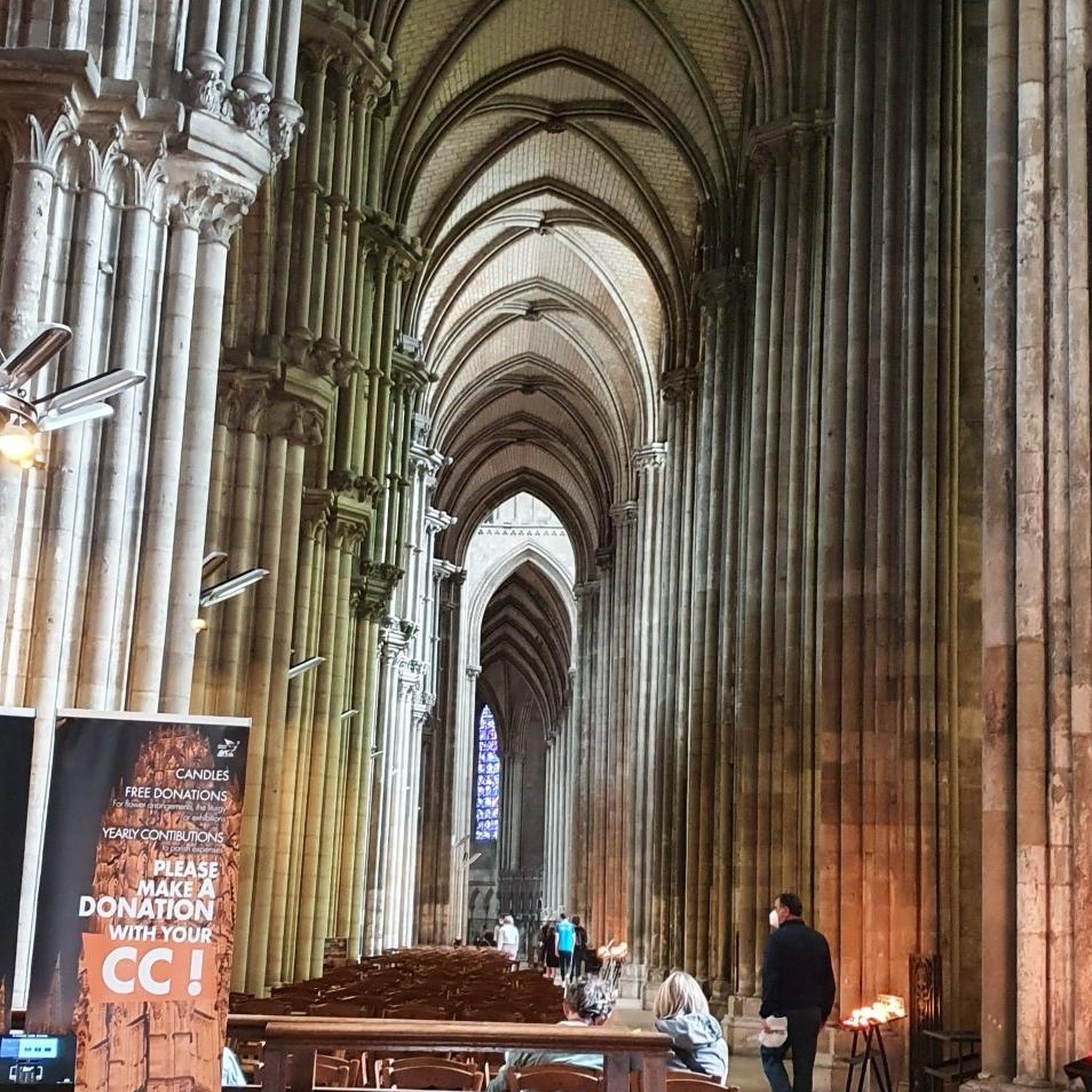
Tips from the Community


beautiful pass, quite rolling especially through St Germain de Joux, a little tougher on the Saint Claude side. lots of writing on the ground since the Tour de France passed through.
0
0


A stronghold of resistance and an ancient milestone on the Sardinian road that led to the Netherlands in the 17th century. A very beautiful view of the Jura Mountains, too.
0
0

Nice bike café with outdoor terrace.
2
0

The Col de la Faucille is not far, via Mijoux.
0
0
Beautiful section of road in the woods.
0
0
Quality welcome: technical assistance, coffee, pastries.
0
0
Frequently Asked Questions
How many no-traffic road cycling routes are available around Champfromier?
There are over 25 dedicated no-traffic road cycling routes around Champfromier, offering a variety of distances and elevations. These routes are part of the extensive network in the Ain department, known for its quiet roads and scenic landscapes.
Are there any easy or family-friendly no-traffic road cycling routes?
Yes, while many routes offer challenging climbs, there are also easier options suitable for beginners or families. The region is known for its 'Voie du Tram,' a disused tram line converted into a traffic-free path, offering gentle slopes and scenic access between Bellegarde and Chézery. For a moderate option, consider the Lac de Lamoura – Lake Lamoura loop from La Pesse, which is 47 km long with over 600 meters of elevation gain.
What kind of terrain can I expect on these traffic-free routes?
The terrain around Champfromier is diverse, ranging from the picturesque Valserine valley to the higher elevations of the Jura Mountains. You'll find a mix of forests, meadows, and dramatic cliffs. Routes often feature smooth surfaces and sweeping curves, characteristic of the Ain department's reputation as a road bike paradise. Elevations can vary significantly, offering both challenging ascents and enjoyable descents.
What natural attractions or viewpoints can I discover along the routes?
Many routes offer stunning natural beauty. You can find viewpoints like Plateau des Brûlats, or even reach summits such as Crêt de la Neige, the highest point in the surrounding region, offering views of Lake Geneva and Mont Blanc on clear days. The area also features the dramatic Roche Fauconnière, a classified sensitive natural area overlooking the Semine valley.
Are there any challenging no-traffic road cycling routes for experienced riders?
Absolutely. The region is famous for its challenging 'calf-pulling passes.' While the legendary Col du Grand Colombier is nearby, routes like the Col du Haut Crêt – Col de la Croix de Serra loop from La Pesse offer a significant challenge, covering over 83 km with more than 1,700 meters of elevation gain.
When is the best time of year to enjoy traffic-free road cycling in Champfromier?
The best time for road cycling in Champfromier is typically from spring through autumn (roughly April to October). During these months, the weather is generally mild, and the roads are clear of snow, allowing for optimal riding conditions and access to all routes. Summer offers longer daylight hours, while spring and autumn provide pleasant temperatures and vibrant scenery.
What do other cyclists say about the no-traffic routes around Champfromier?
The komoot community highly rates the cycling experience around Champfromier, with an average score of 4.6 out of 5 stars. Reviewers often praise the tranquility of the routes, the stunning Jura mountain landscapes, and the well-maintained, quiet roads that make for an enjoyable traffic-free experience.
Are there circular no-traffic road cycling routes available?
Yes, many of the routes around Champfromier are designed as loops, allowing you to start and finish in the same location. For example, the Col du Haut Crêt – Lac de Lamoura loop from La Pesse is a challenging 71 km circular route, and the Plateau de Belle combe – La Pesse loop from Giron offers a moderate 47 km option.
Where can I find parking for these routes?
Parking is generally available in the villages and towns that serve as starting points for these routes, such as La Pesse, Giron, or Montanges. It's advisable to check local signage for specific parking regulations and availability, especially during peak season.
Can I access these routes using public transport?
While Champfromier itself is a smaller commune, the broader Ain department has some public transport options. However, direct access to specific route starting points by public transport can be limited. It's often more convenient to drive to a starting point or consider cycling from a larger town with better public transport links, such as Bellegarde-sur-Valserine.
Are there places to stop for refreshments or accommodation along the routes?
The region has various small villages and hamlets where you can find cafes, bakeries, or small restaurants, especially in popular cycling areas. Accommodation options, including gîtes and hotels, are also available in and around Champfromier and neighboring towns. Planning your route with komoot allows you to identify points of interest, including places to eat and stay.
Most popular routes around Champfromier
Most popular attractions around Champfromier

Get inspired with the komoot mobile app


Explore more
Browse the best Road cycling routes in other regions.
