The best MTB trails around Champfromier
4.3
(186)
1,497
riders
140
rides
Mountain biking around Champfromier offers diverse terrain within the Jura Mountains, located in the Ain department of eastern France. The region features significant elevations, including the Jura Massif, which provides a dramatic backdrop for routes. Cyclists can explore varied landscapes, from the open expanses of the Plateau de Retord to wild alpine forests and valleys. This area provides a range of mountain bike trails suitable for different skill levels.
Best mountain bike trails around Champfromier
- The most popular mountain bike…
Last updated: October 28, 2026
21
riders
98.5km
09:05
2,570m
2,570m
Hard mountain bike ride. Very good fitness required. Advanced riding skills necessary.
4.0
(1)
11
riders
Moderate mountain bike ride. Good fitness required.

4
riders
16.9km
01:15
240m
240m
Easy mountain bike ride.
10
riders
28.5km
02:43
610m
610m
Moderate mountain bike ride. Good fitness required.
3.0
(1)
7
riders
50.4km
05:41
1,700m
1,700m
Hard mountain bike ride. Very good fitness required. Advanced riding skills necessary. Some portions of the route may require you to push your bike.
Get access to more routes and recommendations from other explorers.
Already have an account?
Our route recommendations are based on thousands of hikes, rides, and runs completed by other people on komoot.
Start today with a free account
Your next adventure awaits.
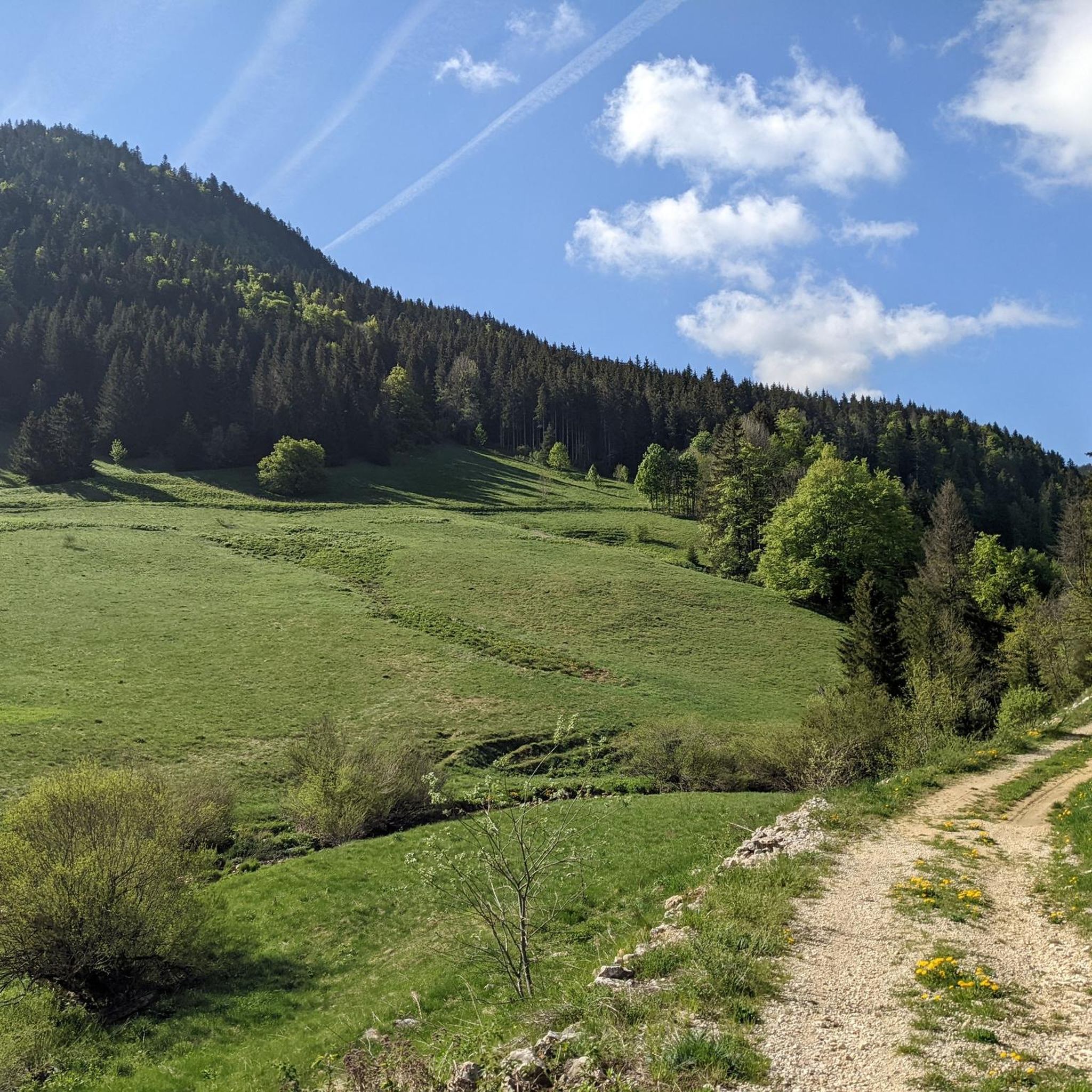
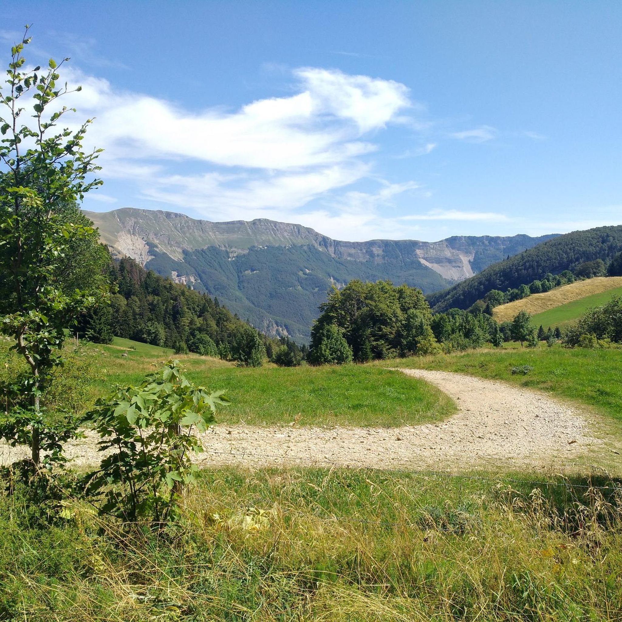
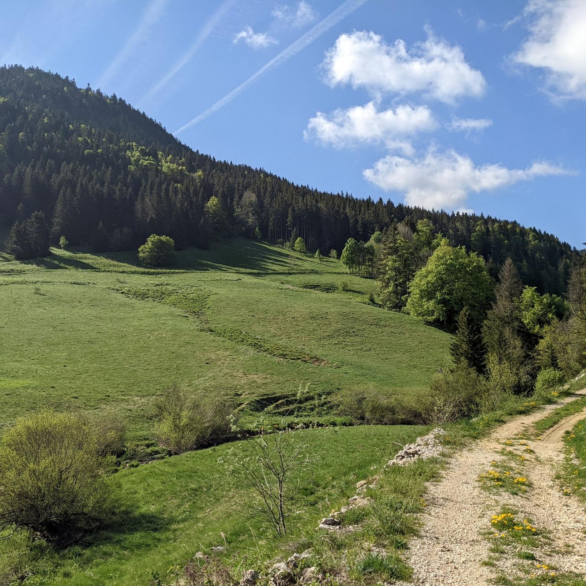
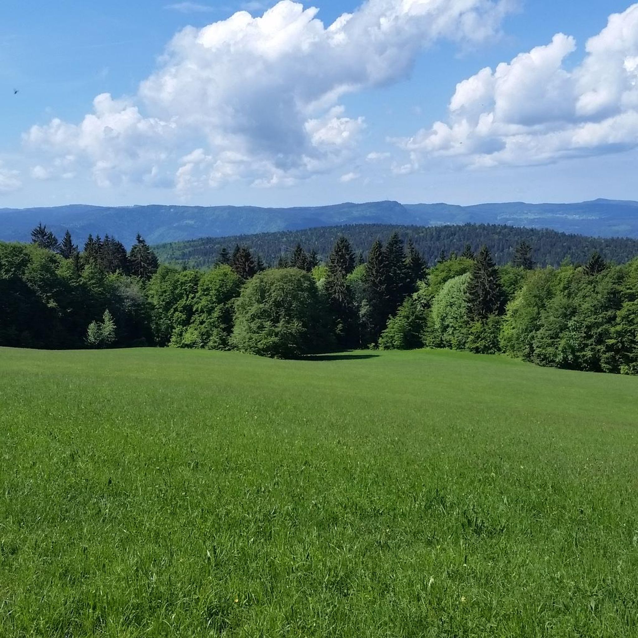
Tips from the Community


Nestled in pastures at an altitude of 1,000 meters, Giron is the highest (and sunniest!) village in the Ain. Welcoming, with breathtaking views, it is ideal for an overnight stop.
0
0
Located in Saint-Germain-de-Joux, the Marmites de Géant (Giant's Cauldrons) were carved by the Semine river and its tributary the Combet. Gigantic cylindrical hollows, two to three meters deep, are connected by a few successive waterfalls.
0
0

A pretty little village and at the top of the mountains a breathtaking landscape 🌟✨
0
0

A 10 km climb from the small roundabout in Châtillon, it's more like 14 km from the Nantua road or the center of Bellegarde. The gradient is fairly steady, ranging from 5.5% to 7.2%, with about ten small steep sections at +8.5%. Very quiet, with very few cars. The road is generally in good condition, but nothing more. There are some beautiful views along the way.
1
1

This boundary stone marked the border between Franche-Comté (north) and French Bugey (south). To the east, the Pays de Gex was separated by the Sardinian Corridor, in which the Spanish Way was located.
0
0


Frequently Asked Questions
How many mountain bike trails are there in Champfromier?
There are over 130 mountain bike trails available around Champfromier, offering a wide range of options for different skill levels and preferences.
What are the difficulty levels of mountain bike trails around Champfromier?
The trails around Champfromier cater to various skill levels. You can find 11 easy routes, 74 moderate routes, and 51 difficult routes, ensuring options for beginners to advanced riders.
Are there any easy mountain bike trails suitable for beginners in Champfromier?
Yes, Champfromier offers 11 easy mountain bike routes perfect for beginners or those looking for a more relaxed ride. These trails typically feature less challenging terrain and elevation changes.
Can I find challenging mountain bike routes for advanced riders?
Absolutely. For advanced riders seeking a challenge, there are 51 difficult mountain bike routes around Champfromier. These trails often feature significant elevation gains and technical sections, such as the La borne au lion – Plateau de Retord loop from Champfromier, which covers nearly 100 km with almost 2,700 meters of elevation gain.
Are there mountain bike trails with scenic viewpoints in Champfromier?
Many trails in Champfromier offer stunning views, especially those traversing the Jura Mountains and the Plateau de Retord. For example, the La Roche Fauconnière – Viewpoint of Roche Fauconnière loop from Champfromier provides excellent vistas of the surrounding valleys and forests. From higher points like the Crêt de la Neige, you can even see Lake Geneva and Mont Blanc on clear days.
What natural features or landmarks can I see while mountain biking in Champfromier?
While mountain biking in Champfromier, you can explore diverse landscapes including wild alpine forests, mossy undergrowth, and the dramatic Jura Massif. Notable natural features include the Plateau de Retord, the Semine and Orvaz valleys, and the nearby Rhône River. You might also encounter impressive peaks like Crêt de la Neige and Le Reculet Summit, or discover charming huts such as Refuge de la Loge.
Are there any circular mountain bike routes available?
Yes, many mountain bike routes around Champfromier are designed as loops, allowing you to start and end at the same point. Examples include the La Roche Fauconnière – Viewpoint of Roche Fauconnière loop from Champfromier and the La voie du Tram" trail loop from Champfromier.
What do other mountain bikers say about the trails in Champfromier?
The mountain bike trails in Champfromier are highly rated by the komoot community, with an average score of 4.3 stars from over 100 reviews. Many riders praise the varied terrain, the stunning natural beauty of the Jura Mountains, and the well-maintained paths that cater to different skill levels.
What is the best time of year for mountain biking in Champfromier?
The best time for mountain biking in Champfromier is generally during the warmer months, from late spring to early autumn. This period offers pleasant weather conditions, making it ideal for exploring the diverse landscapes of the Jura Mountains and the Plateau de Retord.
Are there any family-friendly mountain bike trails in Champfromier?
While specific family-friendly routes are not highlighted in the data, the presence of 11 easy trails suggests there are options suitable for families or those with younger riders. These routes typically have gentler gradients and less technical terrain.
Are dogs allowed on the mountain bike trails in Champfromier?
Information regarding specific dog allowances on all trails is not universally available. It's generally advisable to check local regulations or signage at trailheads, as rules can vary depending on the specific area or nature reserve within the Jura region.
Where can I find parking for mountain biking in Champfromier?
While specific parking locations are not detailed, Champfromier and its surrounding villages typically offer public parking areas. It is recommended to check maps or local information for designated parking spots near trailheads, especially for popular routes like those starting from Champfromier itself.
Most popular routes around Champfromier
Most popular attractions around Champfromier

Get inspired with the komoot mobile app


Explore more
Browse the best MTB trails in other regions.
