The best traffic-free bike rides around Beaufort
4.8
(97)
5,265
riders
14
rides
No traffic touring cycling routes around Beaufort are characterized by the region's flat Lowcountry terrain, which includes extensive coastal marshes, waterways, and maritime forests. The landscape features ancient oak trees draped with Spanish moss, providing shaded paths. While the area is generally flat, some routes may include gentle ascents and descents.
Best no traffic touring cycling routes around Beaufort
- The most popular no traffic touring cycling route is Arêches – Col du Pré (1703m) loop from Arêches, a 14.4…
Last updated: May 22, 2026
5.0
(4)
293
riders
22.8km
02:04
920m
920m
Hard bike ride. Very good fitness required. Mostly paved surfaces. Suitable for all skill levels.
5.0
(1)
95
riders
29.9km
02:53
1,120m
1,120m
Hard bike ride. Very good fitness required. Mostly paved surfaces. Suitable for all skill levels.

Sign up for free
4.4
(5)
81
riders
34.7km
02:20
570m
570m
Hard bike ride. Very good fitness required. Mostly paved surfaces. Suitable for all skill levels.
5.0
(5)
111
riders
16.7km
01:34
720m
720m
Hard bike ride. Very good fitness required. Mostly paved surfaces. Suitable for all skill levels.
5.0
(2)
61
riders
32.7km
03:06
1,240m
1,240m
Hard bike ride. Very good fitness required. Mostly paved surfaces. Suitable for all skill levels.
Get access to more routes and recommendations from other explorers.
Sign up for free
Already have an account?
Our route recommendations are based on thousands of hikes, rides, and runs completed by other people on komoot.
Start today with a free account
Your next adventure awaits.
Login or Signup
Popular around Beaufort

Route des Grandes Alpes

Transalps MTB – Chamonix to the Mediterranean Sea
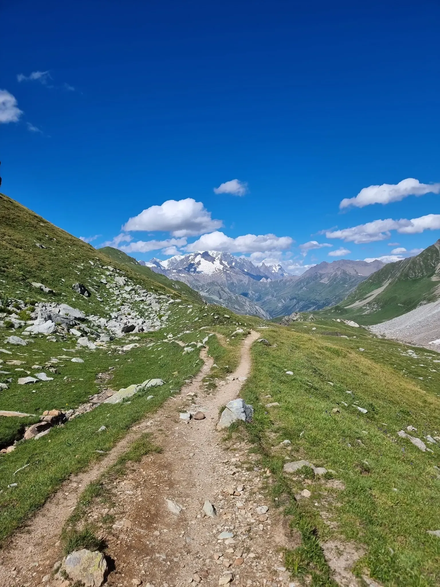
Five days of alpine fastpacking - Ultra Tour du Beaufortain
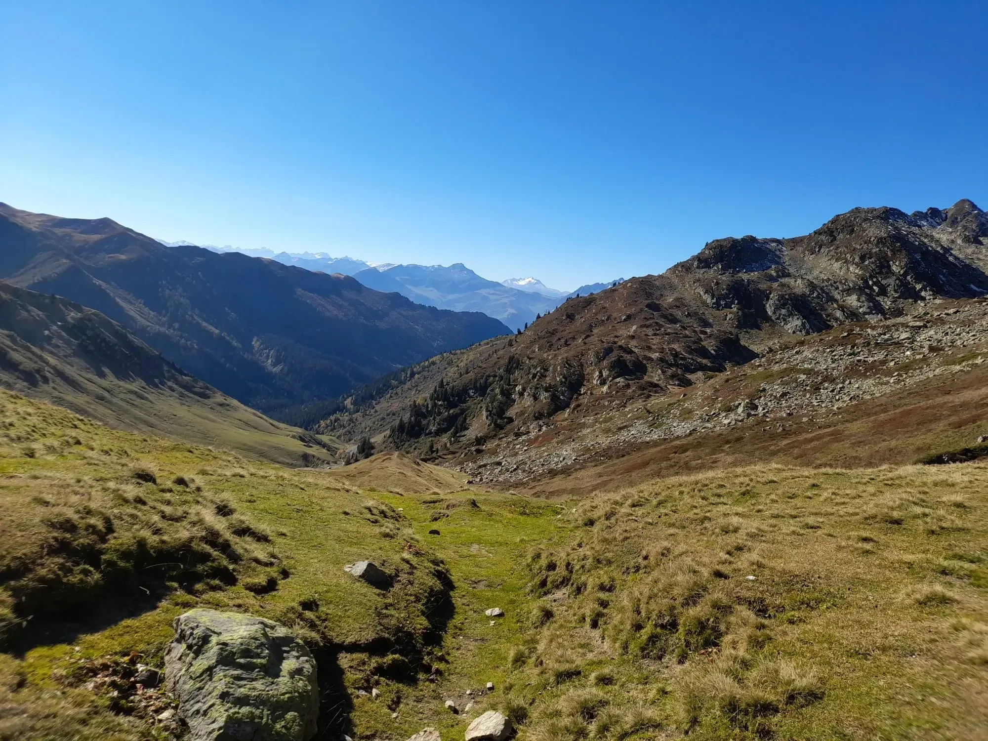
Skyrunning in the Alps — Circuits inspired by Pierra Menta
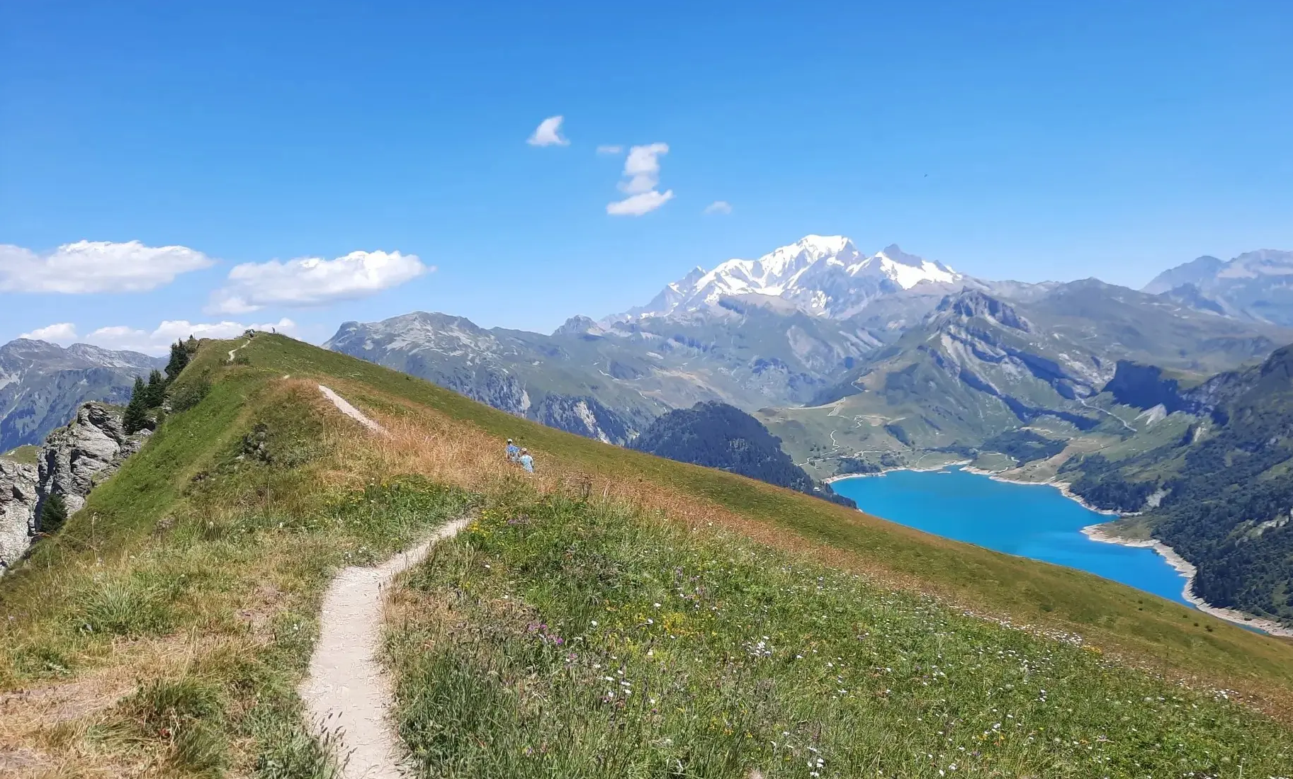
A route to discover Beaufortain — Trail Frison-Roche
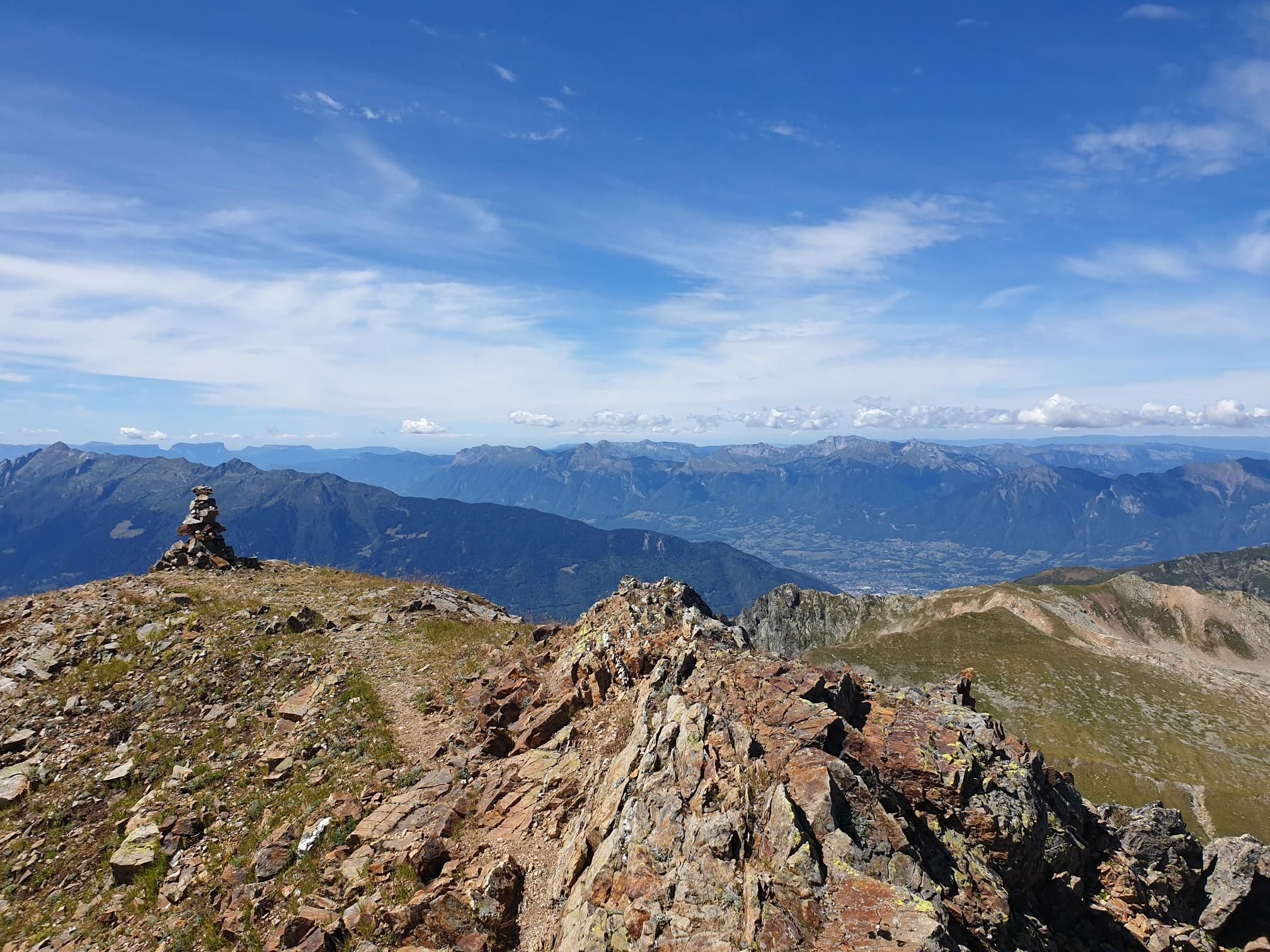
Collecting altitude meters - Beaufortain from François d'Haene's perspective
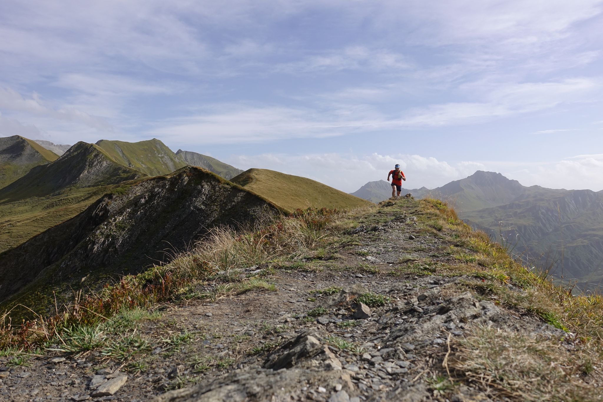
In the footsteps of champions – trail running in Arêches-Beaufort
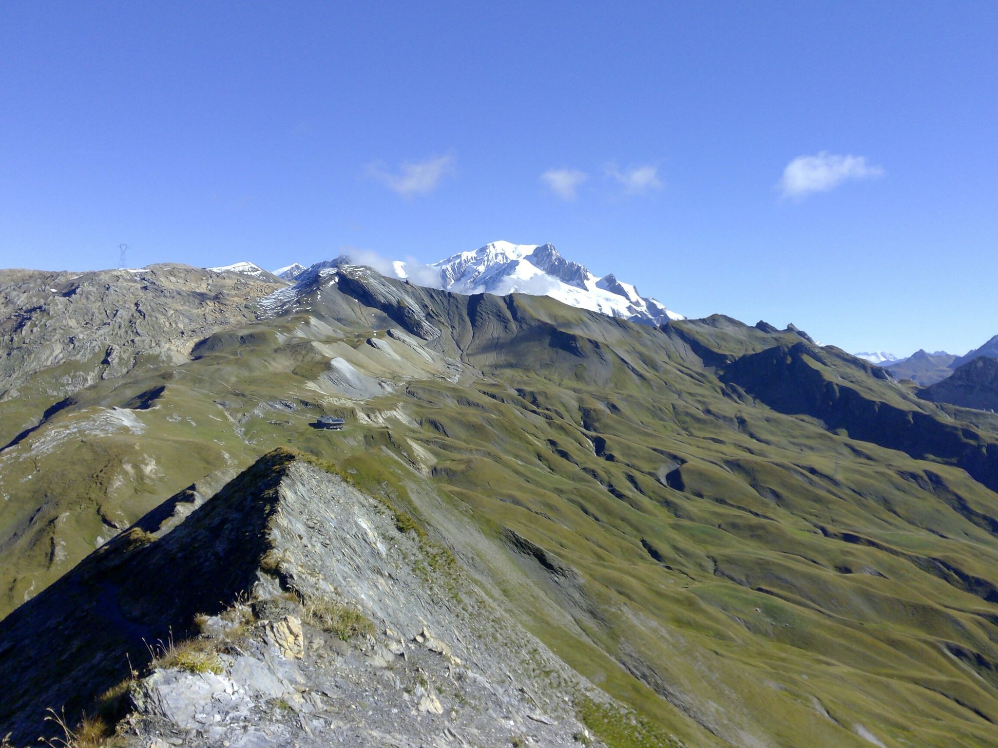
The TDS – 6 days of wild and demanding trails between Italy and France
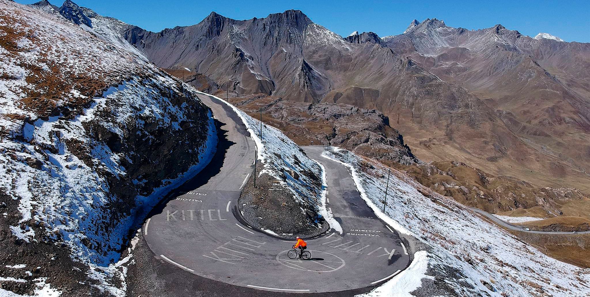
Tracing the Tour de France – spectacular passes in the Auvergne-Rhône-Alps

Traffic-free bike rides around Beaufort
Other adventures around Beaufort


Tips from the Community

My video about the tour of Lake Roselend https://youtu.be/G0Ss9v6wxQQ
1
0
The Roselend Dam is located in the commune of Beaufort-sur-Doron, in the Beaufortain region of Savoie, between the Col du Pré and the Cormet de Roselend, near the Arêches-Beaufort ski resort. The surrounding mountains reach an altitude of around 2,800 meters. It is part of the Roselend La Bâthie hydroelectric complex, which includes the Roselend Dam and two satellite dams: La Gittaz and Saint-Guérin. This complex is managed by EDF's Alpes Production Unit. The Roselend La Bâthie hydroelectric complex produces the equivalent of the domestic energy consumption of 450,000 residents, thus avoiding the emission of 890,000 tons of CO2 per year. The Roselend Dam is a double-curved arch dam with buttresses. Height = 150 meters Crest length = 804 meters Water reservoir [of the hydroelectric complex] = 187 million m3 The Roselend - La Bâthie development is supplied by the Roselend dam itself, as well as by two satellite dams, La Gittaz and Saint-Guérin. The total storage capacity of these three reservoirs, connected by a system of galleries, is 213 million m3. The water collected at Roselend crosses the massif through a 12.5 km long gallery to flow at an altitude of 1,400 m into the Isère Valley, in the Tarentaise region. It is then transported to the underground plant at La Bâthie via a 2,500 m long penstock, with a drop of 1,200 m. The power plant is equipped with six Pelton-type generating units with a total capacity of 550 MW. Since 2013, EDF has been replacing the main components of each generating unit (turbine, generator, transformer, and energy evacuation cables) to achieve a total capacity of 600 MW by the end of 2018. https://youtu.be/G0Ss9v6wxQQ
1
0

One of the most visited sites in the Alps, on foot or by bike.
0
0

beautiful and peaceful lake, great to have a lunch break with a view
0
0

You start at the Col de Pre, a small pass with a narrow road, but very worth seeing.
0
0


There is a water point behind the refuge, it saves an outing or a hike
0
0
Frequently Asked Questions
How many no-traffic touring cycling routes are available around Beaufort?
There are 14 dedicated no-traffic touring cycling routes around Beaufort, offering a variety of experiences for cyclists. While many are rated as difficult due to elevation changes, there are also easy and moderate options available.
What kind of terrain can I expect on no-traffic touring cycling routes in Beaufort?
Beaufort's Lowcountry landscape is generally flat, making it ideal for touring cyclists. Routes often feature extensive coastal marshes, waterways, and maritime forests. You'll find picturesque paths shaded by ancient oak trees draped with Spanish moss, offering a quintessential Southern atmosphere.
Are there any family-friendly no-traffic cycling options in Beaufort?
Yes, the region offers routes suitable for families. The flat terrain and scenic views make for enjoyable rides. The Spanish Moss Trail, a paved greenway, is particularly popular for its accessibility and car-free environment, perfect for all ages.
Can I bring my dog on the no-traffic cycling routes?
Many outdoor areas and trails in Beaufort, including sections of the Spanish Moss Trail, are dog-friendly. However, it's always best to check specific trail regulations beforehand and ensure your dog is on a leash and you clean up after them.
What are some scenic highlights or natural features I can see along these routes?
Cyclists can enjoy stunning views of salt marshes and waterways, and experience the unique beauty of Spanish moss-draped oak trees. Notable natural features include the Hunting Island Marsh Boardwalk and the Cypress Wetlands in Port Royal, which are excellent for birdwatching and wildlife spotting.
Are there any circular no-traffic touring cycling routes available?
Yes, there are several loop routes designed for touring cyclists. For example, you could explore the Arêches – Col du Pré (1703m) loop from Arêches or the Arêches loop from Barrage de Saint-Guérin, which offer varied distances and elevations.
What are the best times of year to go touring cycling in Beaufort to avoid traffic?
The best times to enjoy no-traffic touring cycling in Beaufort are typically during the spring and fall. The weather is milder, and the natural beauty of the Lowcountry is at its peak. Summer can be hot and humid, while winter offers cooler temperatures but fewer daylight hours.
What do other touring cyclists enjoy most about the no-traffic routes in Beaufort?
The komoot community highly rates the touring cycling experience in Beaufort, with an average score of 4.8 out of 5 stars from 65 reviews. Cyclists often praise the peaceful, car-free environments, the picturesque Lowcountry scenery, and the opportunity to explore historic areas at a relaxed pace.
Are there any specific landmarks or points of interest along the no-traffic routes?
While cycling, you might encounter historical sites like Notre-Dame de la Gorge or cross a Roman bridge. The routes also offer views of natural wonders such as the Combe Noire Waterfall and the stunning Vallon de l'Ormente.
Where can I find parking for these no-traffic cycling routes?
Parking is generally available at trailheads and designated access points for popular routes like the Spanish Moss Trail. For routes that start in or near towns, public parking lots are often accessible. It's advisable to check specific route details for the most convenient parking options.
Are there any routes that offer significant elevation changes for a more challenging ride?
Yes, despite the generally flat Lowcountry, some routes offer more challenging ascents. For instance, the Arêches Village Center – Fairy Lake loop from Arêches includes over 1200 meters of elevation gain, providing a strenuous workout for experienced touring cyclists.
Most popular routes around Beaufort
Most popular attractions around Beaufort

Get inspired with the komoot mobile app


Explore more
Browse the best Cycling routes in other regions.
