The best mountain hikes around Beaufort
4.7
(18)
224
hikers
12
hikes
Mountaineering routes around Beaufort are situated in an alpine environment, characterized by high peaks, challenging ascents, and stunning mountain vistas. This region offers a diverse range of trails that navigate through rugged terrain, past alpine lakes, and along exposed ridges. The routes often feature significant elevation gains, providing a true mountaineering experience amidst the dramatic landscapes of the French Alps.
Best mountaineering routes around Beaufort
- The most popular mountaineering route is Jusqu a la via ferrata – View of Mont Blanc loop from Cormet de Roselend, a 3.9 miles (6.3 km) trail that takes 3 hours 35 minutes to complete. This difficult route offers expansive views, including a panorama of Mont Blanc.
- Another top favourite among local mountaineers is Pointe de la Grande Combe loop from Le Bois, a difficult 6.3 miles (10.2 km) path. This route features substantial elevation gain, leading to panoramic views from Pointe de la Grande Combe.
- Local mountaineers also love the Le Grand Mont loop from Arêches Beaufort, a 7.4 miles (11.9 km) trail leading through high alpine pastures and rocky slopes, often completed in about 5 hours 35 minutes.
- Mountaineering around Beaufort is defined by high mountain passes, challenging ascents, and alpine lakes, with a network offering options for different ability levels, predominantly difficult routes.
- The routes in Beaufort are highly rated by the komoot community with an average score of 4.3 stars from more than 20 reviews. More than 250 mountaineers have used komoot to explore Beaufort's varied terrain.
Last updated: July 4, 2026
4.0
(4)
62
hikers
6.34km
03:36
500m
500m
Hard mountaineering route. Good fitness required. Sure-footedness, sturdy shoes and alpine experience required.
5.0
(2)
21
hikers
10.9km
04:45
970m
970m
Hard mountaineering route. Very good fitness required. Mostly accessible paths. Sure-footedness required.

Sign up for free
26
hikers
11.9km
05:35
930m
930m
Hard mountaineering route. Very good fitness required. Sure-footedness, sturdy shoes and alpine experience required.
10
hikers
11.7km
05:24
920m
920m
Hard mountaineering route. Very good fitness required. Sure-footedness, sturdy shoes and alpine experience required.
4.0
(2)
8
hikers
16.3km
07:48
1,150m
1,150m
Hard mountaineering route. Very good fitness required. Sure-footedness, sturdy shoes and alpine experience required.
Get access to more routes and recommendations from other explorers.
Sign up for free
Already have an account?
Our route recommendations are based on thousands of hikes, rides, and runs completed by other people on komoot.
Start today with a free account
Your next adventure awaits.
Login or Signup
Popular around Beaufort

Transalps MTB – Chamonix to the Mediterranean Sea

Route des Grandes Alpes
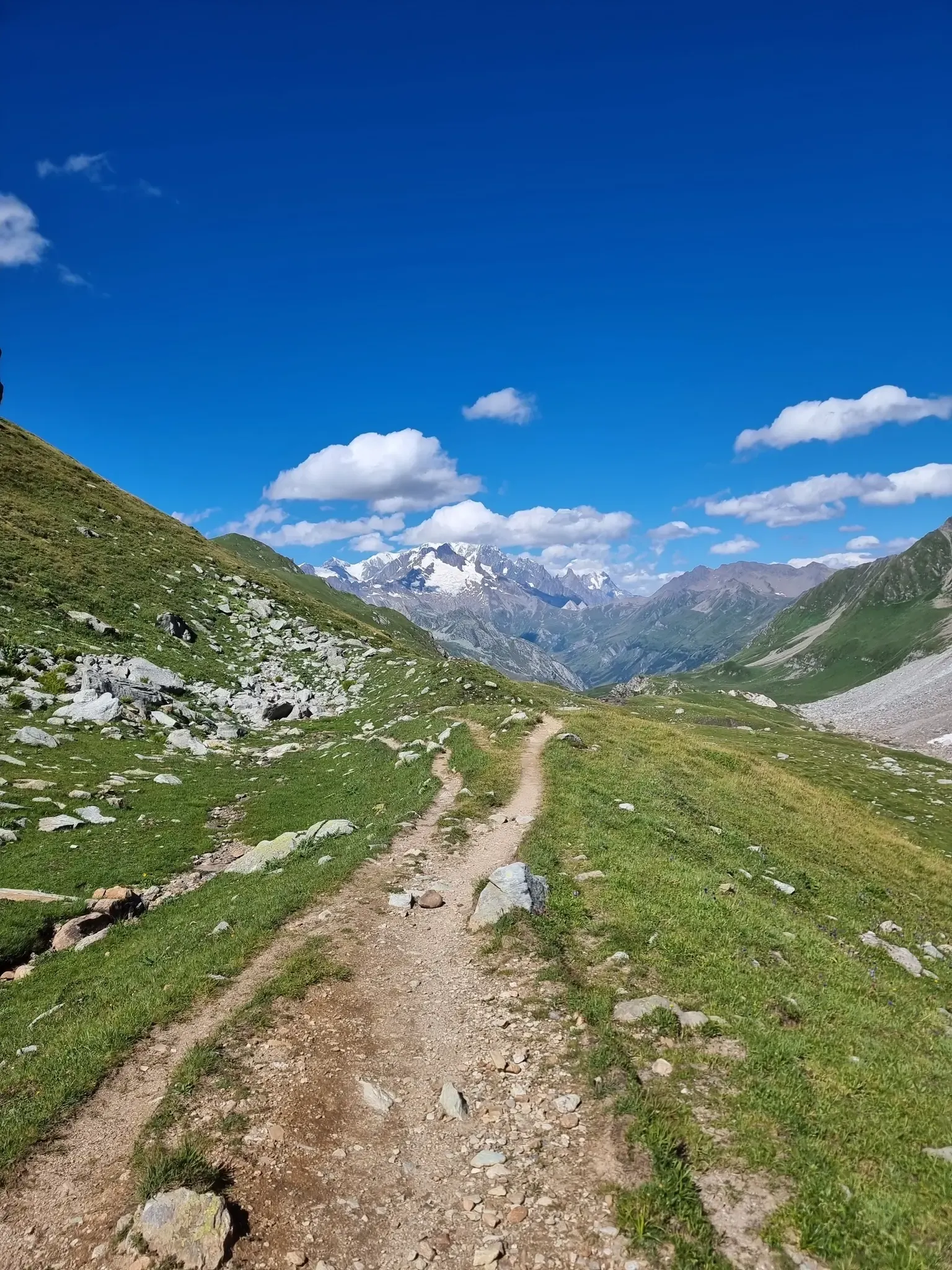
Five days of alpine fastpacking - Ultra Tour du Beaufortain
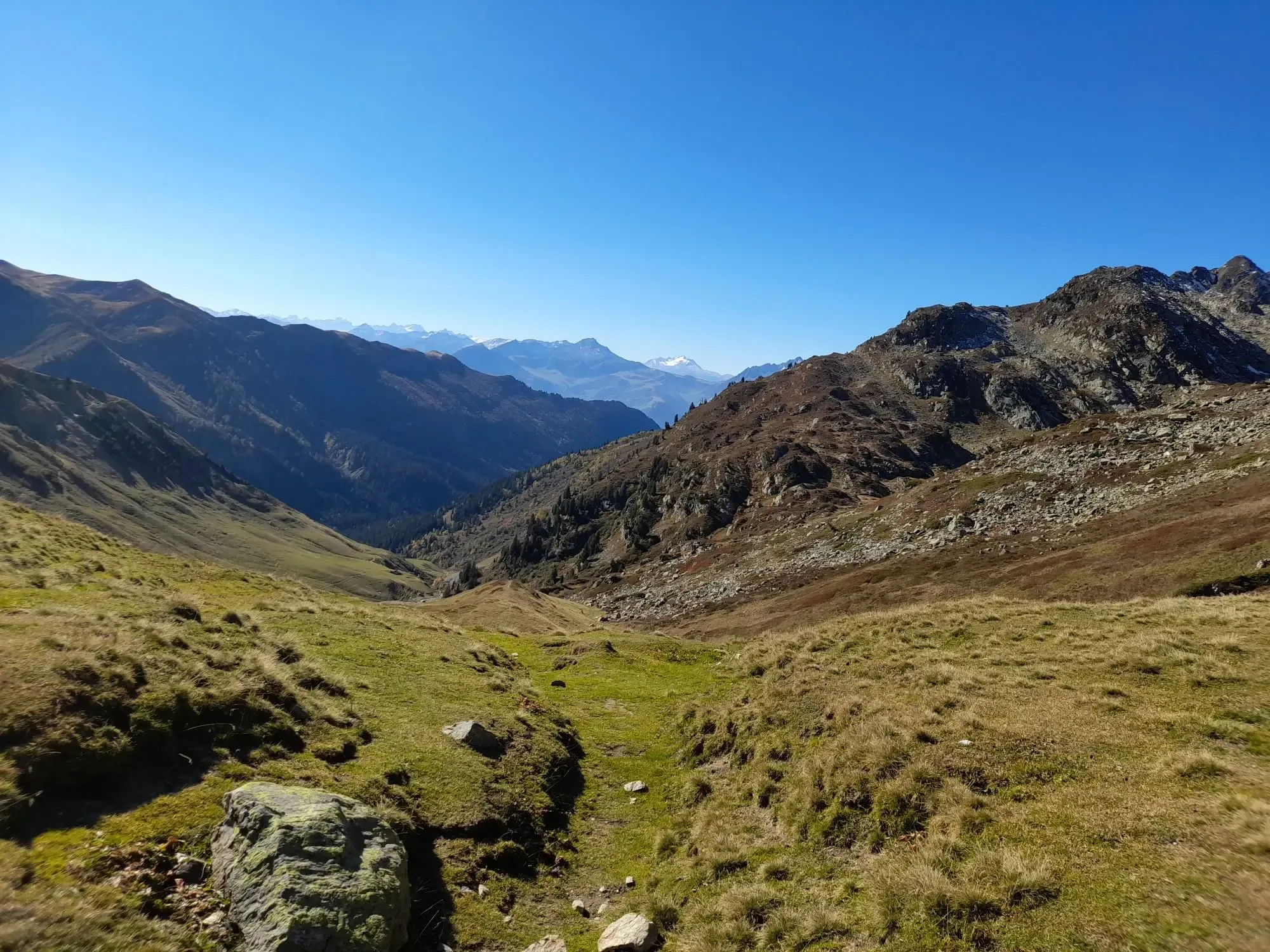
Skyrunning in the Alps — Circuits inspired by Pierra Menta
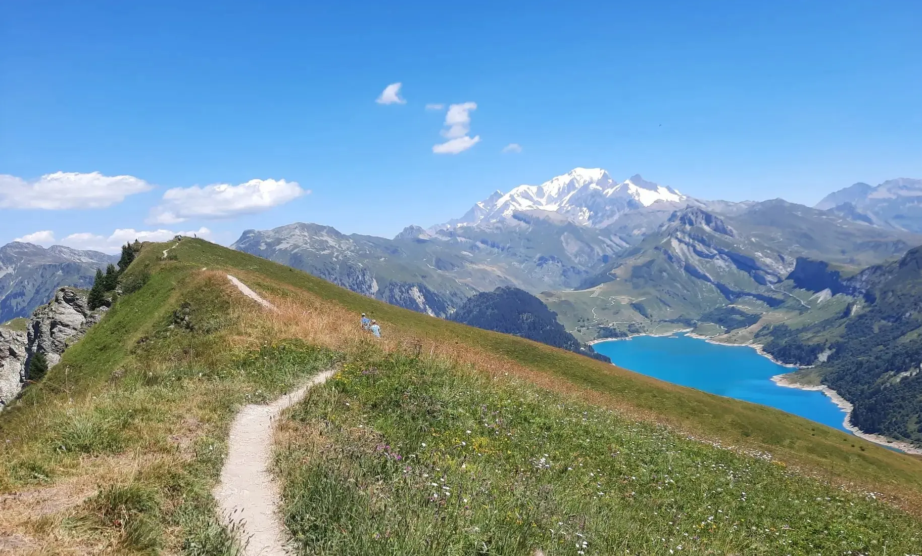
A route to discover Beaufortain — Trail Frison-Roche
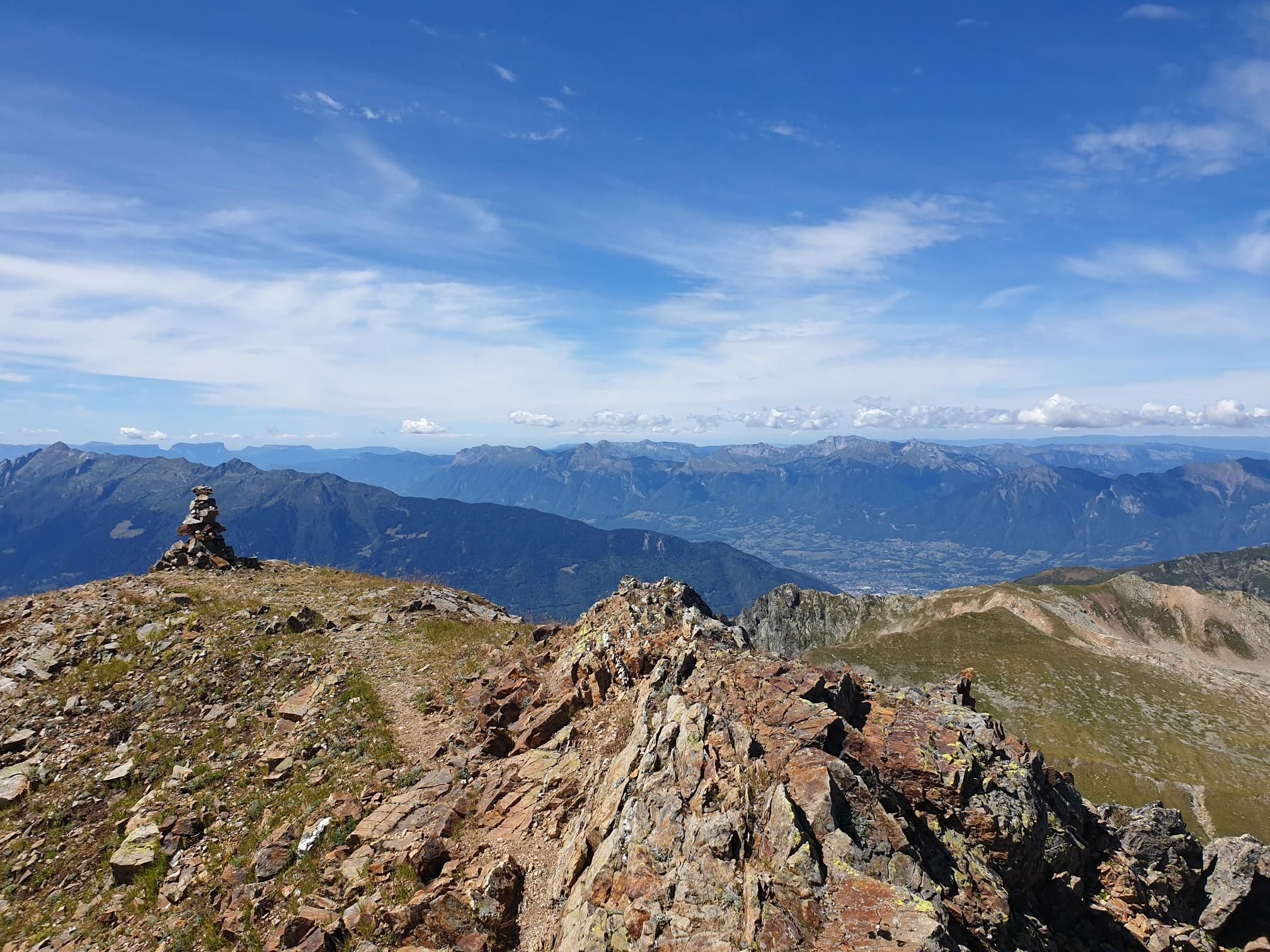
Collecting altitude meters - Beaufortain from François d'Haene's perspective
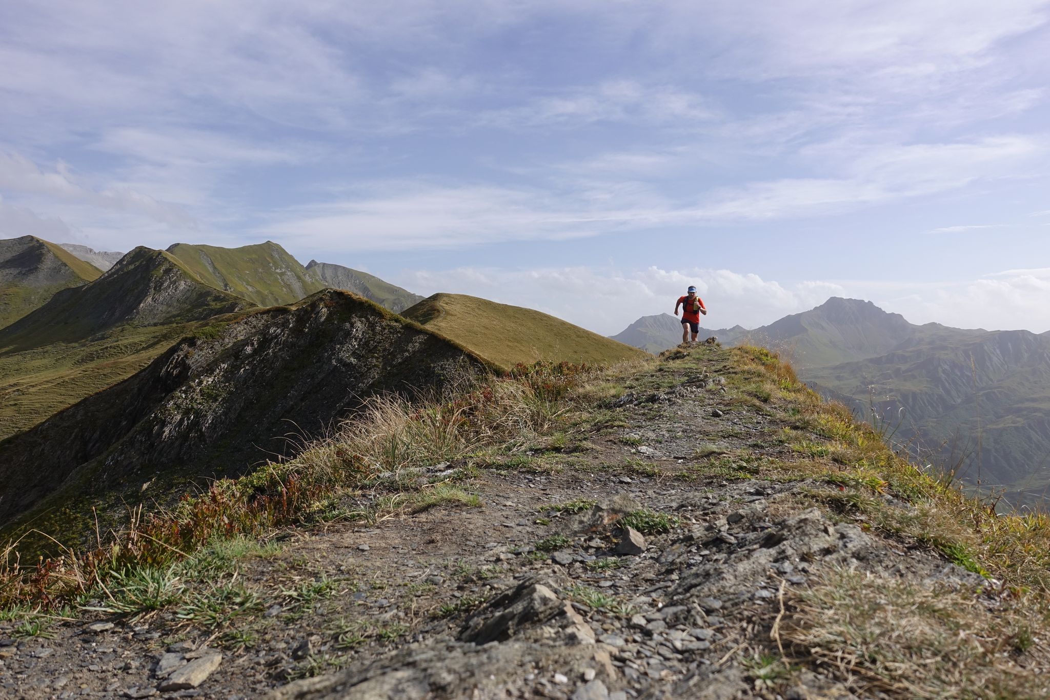
In the footsteps of champions – trail running in Arêches-Beaufort
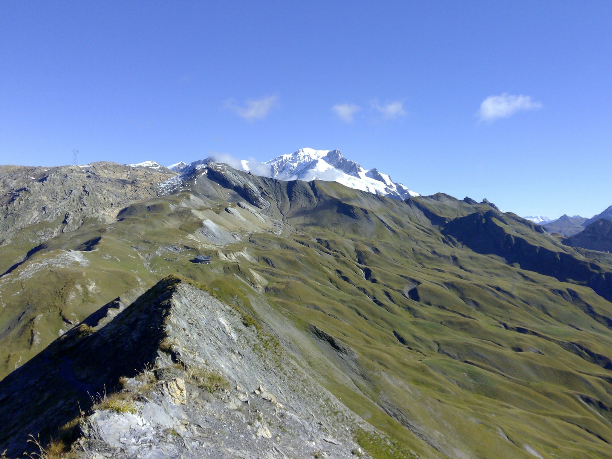
The TDS – 6 days of wild and demanding trails between Italy and France
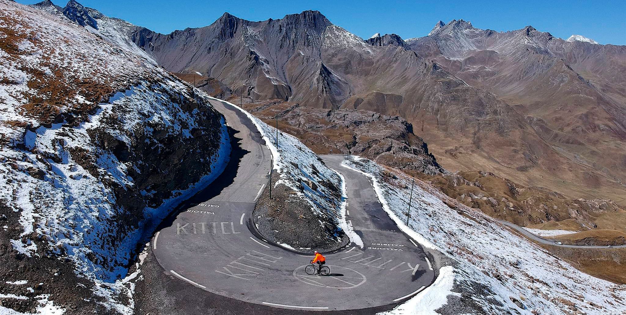
Tracing the Tour de France – spectacular passes in the Auvergne-Rhône-Alps
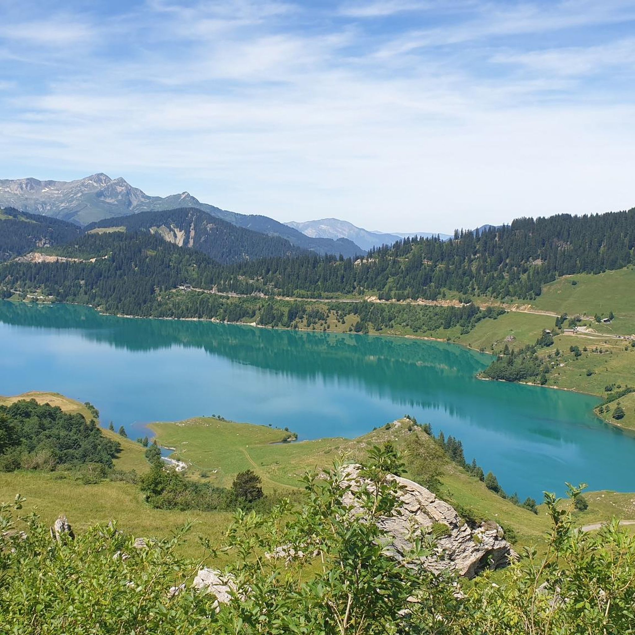
Running Trails around Beaufort
Other adventures around Beaufort


Tips from the Community

Grandiose landscape, decent climb.
2
0

A freelancer and a home-based business require a Shop and Establishment Certificate. As it ensures legal identity, it erects client trust and complies with local labor laws. Shop License enables smooth business activities, is eligible for government benefits and registration, and bank account opening. https://www.legalraasta.com/shop-establishment-license
0
0
The music and editing https://www.sanjoserestaurantorder.online/ style create a vibe that’s hard not to enjoy.
1
0

This lake is located at an altitude of 2,248 meters, at the foot of Pierra Menta, a remarkable peak in the Beaufortain massif. https://youtu.be/G0Ss9v6wxQQ
1
0

The panorama is magnificent seen from Mont Pourri
0
0

You won't see Mont Blanc very well from the Mintaz pass.
0
0
A perfect place for a break before or after crossing the Pierra Menta.
0
0
Frequently Asked Questions
How many mountaineering routes are available around Beaufort?
There are over 15 mountaineering routes around Beaufort, offering a diverse range of trails through rugged alpine terrain. The majority of these routes are classified as difficult.
What do other mountaineers enjoy most about the routes in Beaufort?
The komoot community rates the mountaineering routes around Beaufort highly, with an average score of 4.3 stars from more than 20 reviews. Mountaineers often praise the challenging ascents, stunning mountain vistas, and the true alpine experience offered by the region, including panoramas of Mont Blanc.
Are there any beginner-friendly mountaineering routes in Beaufort?
The mountaineering routes around Beaufort are predominantly challenging, with 12 out of 16 routes classified as difficult. There are 4 routes of moderate difficulty, but no easy routes are listed for mountaineering in this area.
Are there any circular mountaineering routes in Beaufort?
Yes, many mountaineering routes in Beaufort are circular. For example, the Pointe de la Grande Combe loop from Le Bois is a difficult 6.3-mile (10.2 km) path featuring substantial elevation gain. Another popular option is the Le Grand Mont loop from Arêches Beaufort, a 7.4-mile (11.9 km) trail through high alpine pastures.
What kind of landscapes can I expect on the mountaineering routes around Beaufort?
The routes around Beaufort are set in an alpine environment, characterized by high peaks, challenging ascents, and stunning mountain vistas. You will navigate through rugged terrain, past alpine lakes, and along exposed ridges, experiencing the dramatic landscapes of the French Alps.
What are some notable landmarks or points of interest along the mountaineering routes?
The region features several interesting points. You might encounter historic structures like the Roman bridge. The area is also known for its mountain passes, such as Col des Saisies, Col de la Seigne, and Col du Bonhomme, which offer breathtaking views. Some routes also pass by mountain huts like the Col de la Croix du Bonhomme Refuge.
When is the best time of year for mountaineering in Beaufort?
The best time for mountaineering in the alpine environment of Beaufort is typically during the warmer months, from late spring to early autumn (June to September), when trails are generally free of snow and weather conditions are more stable. Always check local weather forecasts and trail conditions before heading out.
Are there any routes that offer views of Mont Blanc?
Yes, the Jusqu a la via ferrata – View of Mont Blanc loop from Cormet de Roselend is a popular difficult route that provides expansive views, including a panorama of Mont Blanc.
What is the typical duration for a mountaineering route in Beaufort?
The duration of routes varies significantly based on difficulty and distance. For example, the Jusqu a la via ferrata – View of Mont Blanc loop from Cormet de Roselend takes approximately 3 hours 35 minutes, while the longer Lac de Saint-Guérin – Le Grand Mont loop from Barrage de Saint-Guérin can take over 8 hours to complete.
What kind of wildlife might I encounter on the trails?
In the alpine environment of the French Alps, you might encounter various wildlife species. Keep an eye out for chamois, ibex, marmots, and a variety of alpine birds. Always observe wildlife from a distance and avoid disturbing their natural habitats.
Are there any routes that feature alpine lakes?
Yes, many routes in the Beaufort region pass by beautiful alpine lakes. The Lac d'Amour – Passage de la Mantaz loop from Treicol is one such route that incorporates an alpine lake into its challenging terrain.
Most popular routes around Beaufort
Most popular attractions around Beaufort

Get inspired with the komoot mobile app


Explore more
Browse the best Mountain Hikes & Routes in other regions.
