The best traffic-free bike rides around Saint-Stail
4.4
(90)
875
riders
33
rides
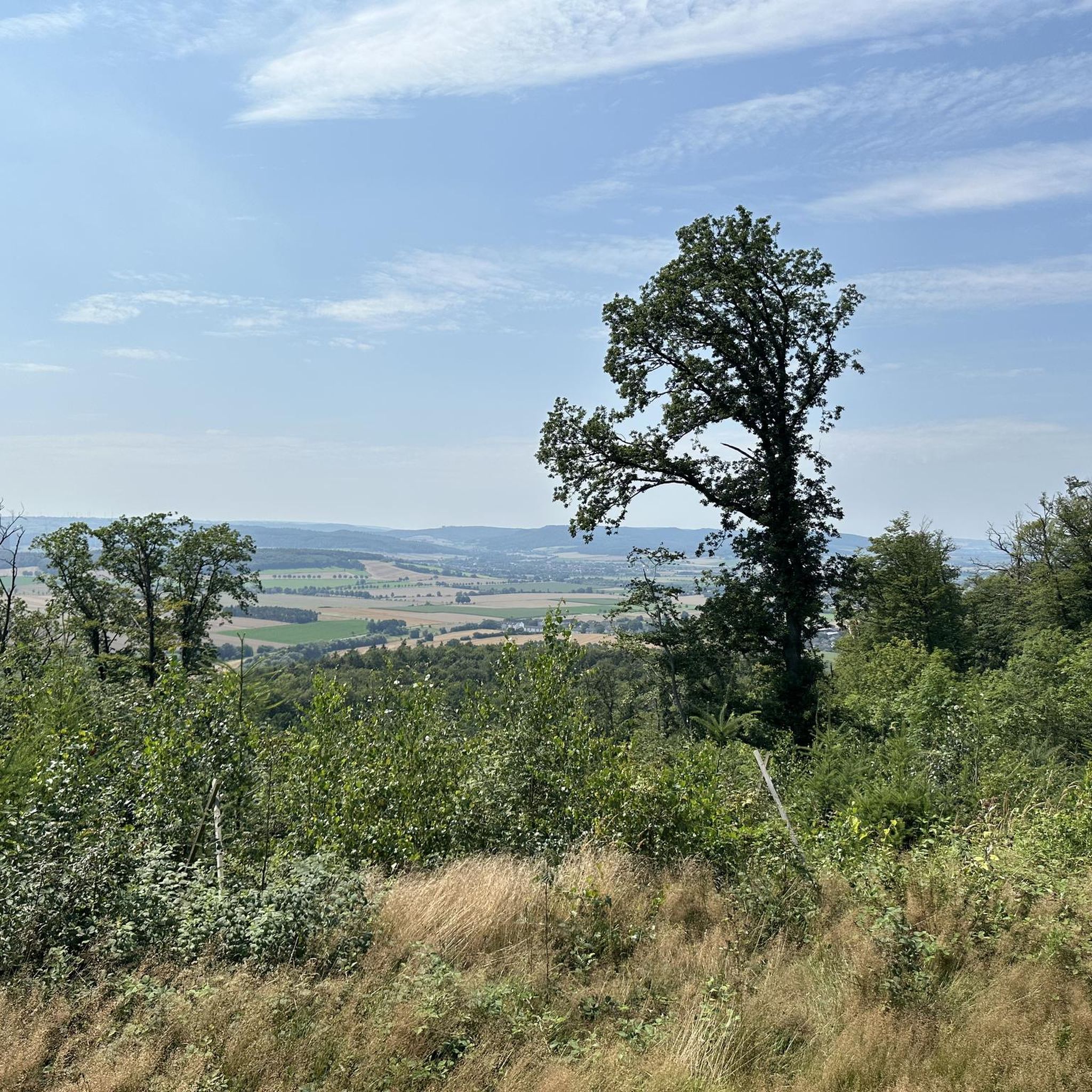
No traffic touring cycling routes around Saint-Stail are situated within the Vosges mountains, offering a landscape characterized by dense forests, river valleys, and varied elevations. The region provides numerous greenways and dedicated cycle paths, making it suitable for touring cyclists seeking routes away from vehicle traffic. These trails often feature shaded sections and opportunities to explore the natural environment of the Hautes Vosges. The terrain ranges from gentle gradients along valley floors to more challenging climbs into the hills.
Best no traffic touring cycling routes around Saint-Stail
- The most popular no traffic touring cycling route is Shaded bicycle path – Picnic area by the water loop from Bourg-Bruche, a 26.4 miles (42.6 km) difficult trail that takes 2 hours 43 minutes to complete. This route features a shaded bicycle path and a picnic area by the water.
- Another top favourite among local touring cyclists is Rothau Protestant Temple – Picnic area by the water loop from Saulxures, a difficult 17.5 miles (28.1 km) path. This trail offers views of the Rothau Protestant Temple and includes a picnic area by the water.
- Local touring cyclists also love the Ormont Rock – Quatre Bornes loop from Saâles, a 27.6 miles (44.4 km) trail leading through the Vosges landscape, often completed in about 4 hours 9 minutes.
- Touring cycling around Saint-Stail is defined by forested hills, river valleys, and dedicated greenways, with options for different ability levels.
- The routes in Saint-Stail are highly rated by the komoot community with an average score of 4.4 stars from over 80 reviews. More than 700 touring cyclists have used komoot to explore Saint-Stail's varied terrain.
Last updated: July 3, 2026
4.8
(5)
28
riders
36.8km
02:23
450m
450m
Moderate bike ride. Good fitness required. Mostly paved surfaces. Suitable for all skill levels.
4.6
(7)
65
riders
49.8km
03:22
670m
670m
Hard bike ride. Very good fitness required. Mostly paved surfaces. Suitable for all skill levels.

Sign up for free
5.0
(1)
13
riders
44.4km
04:09
1,170m
1,170m
Hard bike ride. Very good fitness required. You may need to push your bike for some segments of this route.
13
riders
36.4km
02:27
580m
580m
Hard bike ride. Very good fitness required. Mostly paved surfaces. Suitable for all skill levels.
4.5
(2)
6
riders
26.4km
01:56
540m
540m
Hard bike ride. Very good fitness required. Mostly paved surfaces. Suitable for all skill levels.
Get access to more routes and recommendations from other explorers.
Sign up for free
Already have an account?
Our route recommendations are based on thousands of hikes, rides, and runs completed by other people on komoot.
Start today with a free account
Your next adventure awaits.
Login or Signup
Popular around Saint-Stail

Tips from the Community

Beautiful hiking destination, there is also a cycling route
0
0

A long and beautiful forest road. However, it's bumpy in places on a road bike!
0
0

Beautiful climb and lovely view at the pass - Altitude 728m Restaurants (inns) at the pass
0
0

This mountain pass in the Vosges connects the Fave and Hure valleys and is located between the villages of Le Beulay and La Petite-Fosse. During the First World War, the pass was strategically important: the Bayerische 39. Reserve-Division controlled the passage here with bunkers and trenches, remains of which are still visible today. The area is rich in relics such as machine gun bunkers, barbed wire posts and shelters from 1916. The pass is also popular with cyclists: the climb from Saint-Dié-des-Vosges is 10.6 km long with an average gradient of 2.9%. Along the way, you can enjoy peaceful forests, historical traces and views of the Spitzemberg and the Tête de Raves.
8
0

Coffee is also available. You can sit inside or outside.
1
0

A truly great forest road through a beautiful forest, a bit bumpy in places (April 2025), but good for rolling (towards Mossey) or leisurely climbing (towards Mt Donon). It was fun!
1
0

The former town hall of Schirmeck on the market square was built in 1864. Today, the building houses clubs and the media library.
0
0

Rothau played an important role in the valley's religious history, as evidenced by this 19th-century Protestant church. Admission is free.
0
0
Frequently Asked Questions
How many no-traffic touring cycling routes are available around Saint-Stail?
There are over 35 dedicated no-traffic touring cycling routes around Saint-Stail. These routes cater to various skill levels, ensuring a pleasant experience for everyone looking to explore the Vosges region by bike.
What is the best time of year for touring cycling in Saint-Stail?
The best time for touring cycling in the Vosges mountains around Saint-Stail is typically from late spring through early autumn (May to October). During these months, the weather is generally mild, and the natural scenery is at its most vibrant. Always check local weather forecasts before heading out.
Are there easy no-traffic touring bike trails near Saint-Stail suitable for beginners?
Yes, Saint-Stail offers several easy no-traffic touring bike trails. There are 5 routes specifically categorized as easy, perfect for beginners or those seeking a relaxed ride. These routes often feature gentler gradients and well-maintained surfaces.
What do other touring cyclists enjoy most about cycling in Saint-Stail?
The komoot community highly rates the touring cycling experience in Saint-Stail, with an average score of 4.43 out of 5 stars. Reviewers often praise the tranquility of the no-traffic routes, the beautiful natural surroundings of the Vosges, and the variety of trails available for different abilities.
Are there any circular no-traffic touring bike routes in Saint-Stail?
Yes, many of the no-traffic touring cycling routes around Saint-Stail are designed as loops, allowing you to start and finish at the same point. For example, consider the Shaded bicycle path – Picnic area by the water loop from Bourg-Bruche or the Rothau Protestant Temple – Picnic area by the water loop from Saulxures.
What kind of attractions can I see along the no-traffic touring cycling routes?
While cycling the no-traffic routes, you can discover various natural and historical points of interest. Notable natural monuments include the Col de la Perheux, Dry Fir Rock, and the Roche des Abris. You might also encounter significant peaks like the The Hanging Cat and the Tête du Coquin Summit, offering scenic viewpoints.
Are there family-friendly no-traffic touring bike routes in Saint-Stail?
Yes, Saint-Stail offers several no-traffic routes that are suitable for families. The easier routes, with their gentle gradients and absence of vehicle traffic, provide a safe and enjoyable environment for cyclists of all ages. Look for routes categorized as 'easy' for the most family-friendly options.
Where can I find parking for the no-traffic touring bike trails in Saint-Stail?
Parking availability varies by trailhead. Many villages and towns that serve as starting points for these routes, such as Bourg-Bruche, Saulxures, or Saâles, typically offer public parking facilities. It's advisable to check specific route descriptions or local village information for the most convenient parking spots.
Are there cafes or pubs along the no-traffic touring bike trails in Saint-Stail?
While the routes themselves are traffic-free, they often connect to or pass through charming villages where you can find cafes, bakeries, and local eateries. For instance, the Turlupain Organic Bakery – Shaded bicycle path loop from Saâles route highlights a local bakery, perfect for a mid-ride snack.
What is the typical length and elevation gain for these no-traffic touring routes?
The no-traffic touring routes around Saint-Stail vary significantly in length and elevation. Distances range from shorter rides, like the 19.6 km Turlupain Organic Bakery – Shaded bicycle path loop from Saâles with 222m of elevation gain, to longer and more challenging options such as the 44.4 km Ormont Rock – Quatre Bornes loop from Saâles, which features over 1100m of ascent.
Most popular routes around Saint-Stail
Most popular attractions around Saint-Stail

Get inspired with the komoot mobile app


Explore more
Browse the best Cycling routes in other regions.
