The best road cycling routes around Saint-Stail
4.4
(96)
1,594
riders
65
rides
Road cycling routes around Saint-Stail offer diverse landscapes within the Vosges department, characterized by altitudes ranging from 550m to 802m. The region features varied terrain, including challenging ascents and scenic descents through the Vosges Mountains and lush green surroundings. Panoramic roads and dedicated green lanes provide extensive cycling opportunities for different skill levels. This area is well-suited for road cyclists seeking engaging routes with significant elevation changes.
Best road cycling routes around Saint-Stail
- The most popular road cycling route is…
Last updated: July 5, 2026
19
riders
49.8km
02:36
910m
910m
Hard road ride. Very good fitness required. Mostly well-paved surfaces and easy to ride.
4.8
(12)
132
riders
49.3km
02:27
650m
650m
Moderate road ride. Good fitness required. Some segments of this route may be unpaved and difficult to ride.

Sign up for free
4.7
(3)
50
riders
43.1km
02:23
880m
880m
Moderate road ride. Good fitness required. Some segments of this route may be unpaved and difficult to ride.
5.0
(3)
47
riders
55.6km
03:05
770m
770m
Moderate road ride. Good fitness required. Some segments of this route may be unpaved and difficult to ride.
35
riders
104km
05:58
2,280m
2,280m
Hard road ride. Very good fitness required. Mostly well-paved surfaces and easy to ride.
Get access to more routes and recommendations from other explorers.
Sign up for free
Already have an account?
Our route recommendations are based on thousands of hikes, rides, and runs completed by other people on komoot.
Start today with a free account
Your next adventure awaits.
Login or Signup

Tips from the Community

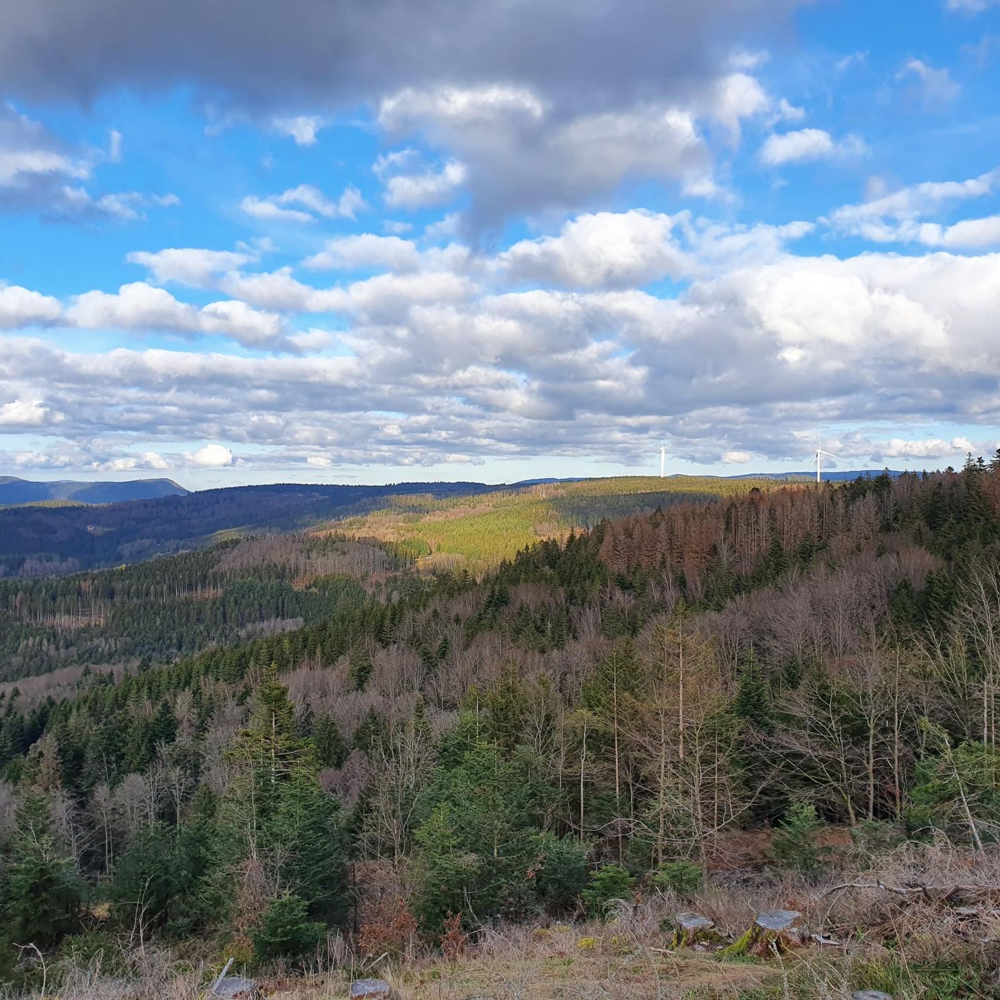
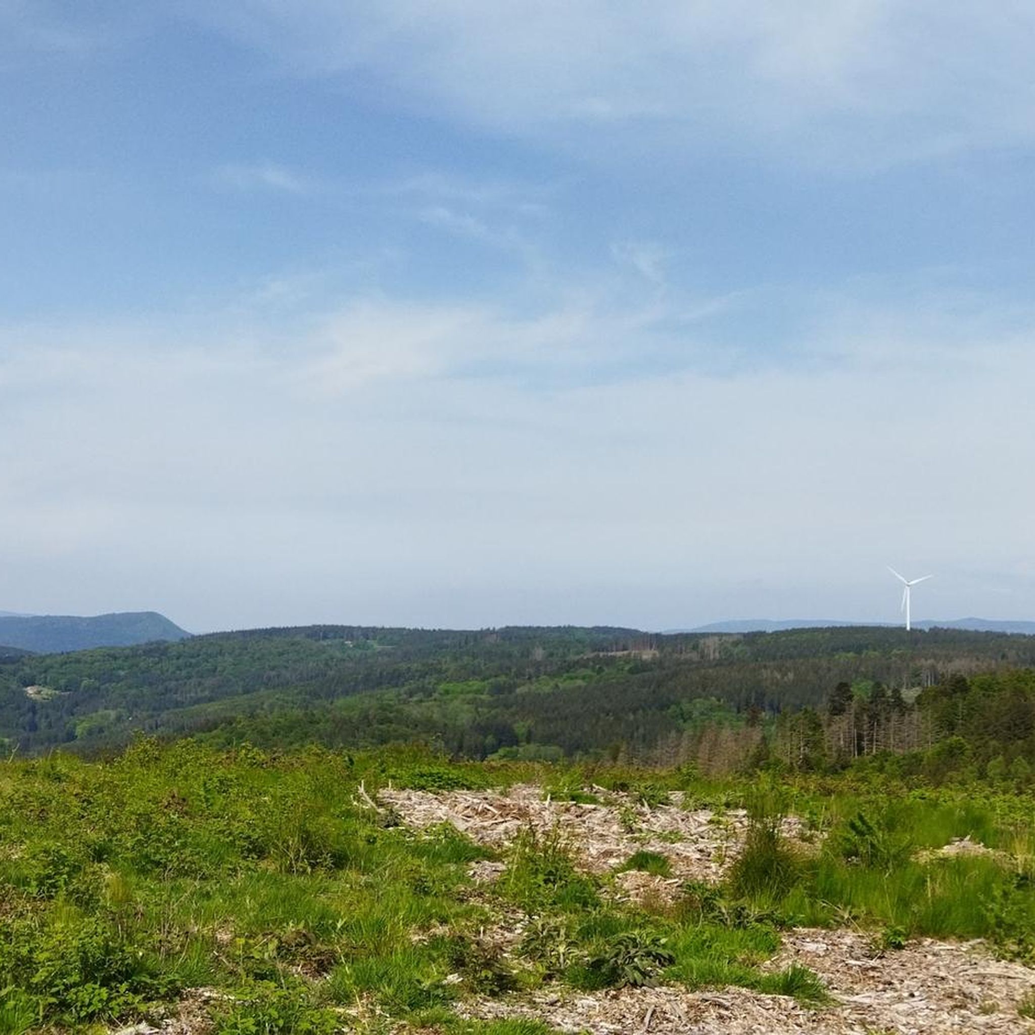
The Champ du Feu, at 1099 meters, is the highest mountain in the Bas-Rhin department in the Vosges in Alsace. It is located between the towns of Belmont and Le Hohwald and consists of a vast plateau with forests, meadows, and moorlands. The area is a popular nature and recreational area. In summer, it is mainly used for hiking, mountain biking, and nature observation. In winter, there is a small ski area with cross-country trails and simple slopes for winter sports. From the Champ du Feu, the La Serva stream originates, which later forms the Cascade de la Serva. In clear weather, the summit offers wide views over the Vosges, the Rhine plain, and even the Black Forest. The area is particularly known for its quiet nature, high moors, sunrises and starry skies, as well as well-marked hiking trails.
0
0


Magnificent pass to climb from different slopes (Breitenbach, Steige, Vallée de la Bruche, Andlau). It is also a crossing point towards the Champ du feu, the Hohwald, the Mont Ste Odile.
0
0
A classic Vosges pass, quite accessible and magnificent!
0
0

The Col de Fouchy is a beautiful drive. The narrow road can get quite narrow, especially on the descent to Rombach-le-Franc and Liepvre. You should definitely plan some safety precautions on the descent, as a large truck can suddenly block a tight left-hand bend. While traffic is sometimes light, it can get quite hectic, especially on long weekends and holidays, as many day-trippers and motorcycle groups cross the pass. Unfortunately, dangerous situations often arise due to excessive speed and overhang.
0
0

The former town hall of Schirmeck on the market square was built in 1864. Today, the building houses clubs and the media library.
0
0

The approximately 5 km descent from the Col de Fouchy to Rombach-le-Franc offers beautiful, picturesque scenery. The road is not very wide, carries little motorized traffic, and there are only a few tight hairpin bends. Arriving at the bottom of Rombach-le-Franc, you'll see a small, sleepy, and idyllic village.
0
0
Frequently Asked Questions
What kind of terrain can I expect on road cycling routes in Saint-Stail?
Road cycling around Saint-Stail offers diverse terrain, primarily characterized by the Vosges Mountains. You'll encounter varied climbs and descents, with altitudes ranging from 550m to 802m. The region features both challenging ascents and scenic descents, along with panoramic roads and dedicated green lanes for an engaging experience.
Are there road cycling routes suitable for beginners or those seeking an easier ride?
Yes, while many routes feature significant elevation changes, there are options for various skill levels. Out of over 60 road cycling routes in the area, 6 are classified as easy, and 35 are moderate, offering a balanced mix of ascents and descents. These routes provide a good starting point for less experienced riders or those looking for a more relaxed pace.
What are some notable natural features or viewpoints I can see while road cycling near Saint-Stail?
The region is rich in natural beauty and viewpoints. You can experience the expansive views of the Bruche Valley and the Donon from Col de la Perheux. Other natural highlights include the Dry Fir Rock and the Roche des Abris. The area also features the Protected Natural Area of La Châtaigne Pendue and impressive trees like The Big Oak.
Are there any historical or cultural attractions accessible by road bike around Saint-Stail?
Yes, the region is dotted with charming villages and historical sites. You can cycle through picturesque towns like Mittelbergheim, Hunawihr, Riquewihr, and Eguisheim. Historical castles such as Château de Moyen, Le Haut Koenigsbourg, and Chateau d'Andlau are also within reach, offering interesting stops during your ride. Mont-Sainte-Odile is another significant cultural and historical site nearby.
What do other road cyclists enjoy most about the routes in Saint-Stail?
The road cycling routes around Saint-Stail are highly rated by the komoot community, with an average score of 4.8 stars from over 40 reviews. Cyclists frequently praise the varied climbs and descents, the scenic panoramic roads, and the overall engaging experience offered by the Vosges Mountains. Many appreciate the diverse network of routes catering to different ability levels.
Are there any long-distance or challenging road cycling routes for experienced riders?
Absolutely. For experienced riders seeking a challenge, there are 22 difficult routes around Saint-Stail. An example is the Salcée Pass – Haut de Ribeauvillé Pass loop from Bourg-Bruche, which covers over 100 km and features significant elevation gain, providing a demanding and rewarding ride through the Vosges landscape.
Can I find circular road cycling routes in the Saint-Stail area?
Many of the road cycling routes around Saint-Stail are designed as loops, offering convenient starting and ending points. For instance, the Forest Road Through the Vosges – Cuckoo Pond loop from Bourg-Bruche is a popular moderate option, allowing you to return to your starting point without retracing your path.
What is the best time of year for road cycling in Saint-Stail?
The region's diverse landscapes are best enjoyed during the warmer months, typically from spring through autumn. This period offers more stable weather conditions and allows for comfortable cycling through the Vosges Mountains and panoramic roads. Winter cycling might be challenging due to snow and ice, especially at higher altitudes.
Are there facilities like cafes or accommodation near the road cycling routes?
The region surrounding Saint-Stail, including its charming villages, offers various amenities. You can find cafes and pubs in many of the towns and villages along or near the cycling routes, perfect for a break. Accommodation options, ranging from guesthouses to hotels, are also available in the area to support multi-day cycling trips.
Is public transport available to access road cycling routes around Saint-Stail?
While specific public transport connections directly to every trailhead might vary, the Vosges department generally has regional bus and train services connecting its towns. It's advisable to check local transport schedules for specific routes and their bike carriage policies if you plan to use public transport to reach your starting point.
Are there any specific mountain passes that are popular among road cyclists in this region?
Yes, the Vosges region is known for its scenic mountain passes that are popular with road cyclists. Notable passes include Col de Steige, Salcée Pass, Col de la Perheux, Urbeis Pass, and Hantz Pass. These passes often feature in challenging and rewarding road cycling routes.
Most popular routes around Saint-Stail
Most popular attractions around Saint-Stail

Get inspired with the komoot mobile app


Explore more
Browse the best Road cycling routes in other regions.
