The best traffic-free bike rides around Proveysieux
4.5
(1525)
31,898
riders
115
rides
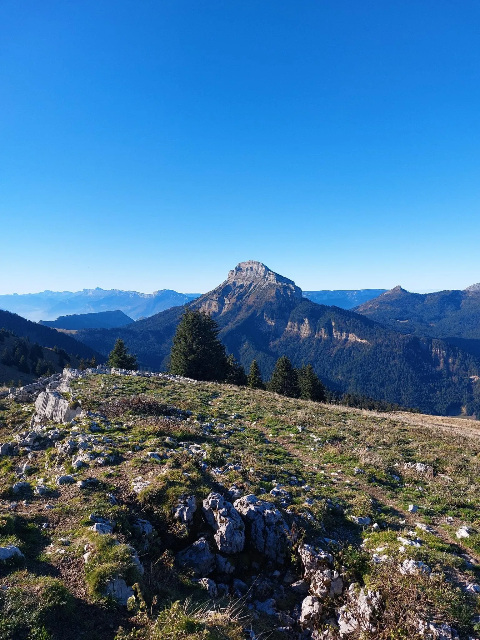
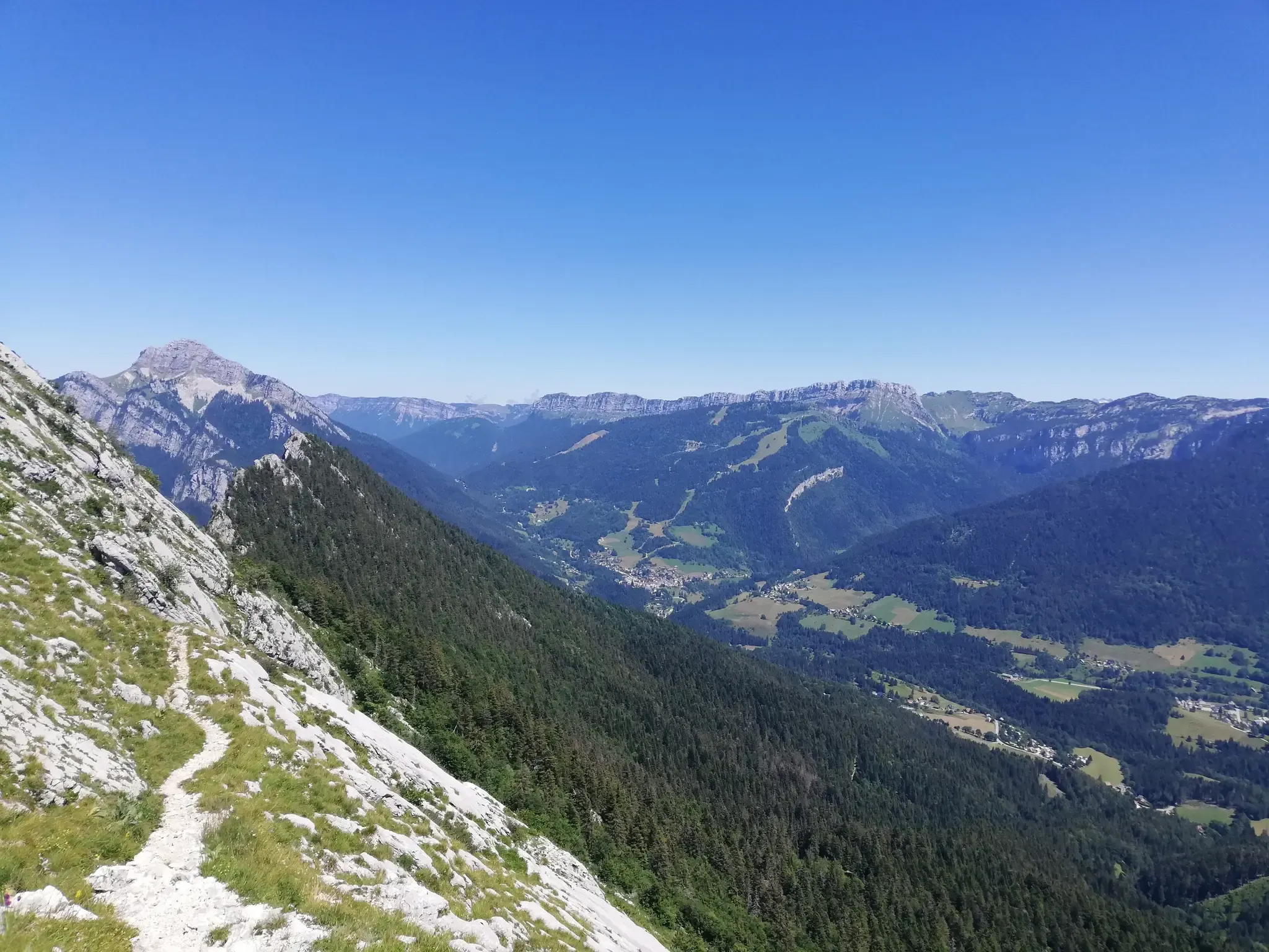
No traffic touring cycling routes around Proveysieux are situated on the western edge of the Chartreuse mountain range, offering diverse landscapes for cyclists. The area features a mix of expansive forests, alpine meadows, and dramatic limestone cliffs. Cycling routes often include significant elevation changes, providing panoramic views of the Chartreuse and Vercors massifs. This region is characterized by its rugged beauty and varied terrain, ideal for exploring by bike.
Best no traffic touring cycling routes around Proveysieux
- The most popular…
Last updated: May 22, 2026
81
riders
Hard bike ride. Very good fitness required. Mostly paved surfaces. Suitable for all skill levels.
3.0
(1)
63
riders
27.3km
02:30
1,070m
1,070m
Hard bike ride. Very good fitness required. Mostly paved surfaces. Suitable for all skill levels.

Sign up for free
4.5
(2)
55
riders
Hard bike ride. Very good fitness required. Mostly paved surfaces. Suitable for all skill levels.
4.0
(2)
41
riders
35.1km
02:57
1,140m
1,140m
Hard bike ride. Very good fitness required. Mostly paved surfaces. Suitable for all skill levels.
34
riders
29.7km
02:12
590m
590m
Hard bike ride. Very good fitness required. Mostly paved surfaces. Suitable for all skill levels.
Get access to more routes and recommendations from other explorers.
Sign up for free
Already have an account?
Our route recommendations are based on thousands of hikes, rides, and runs completed by other people on komoot.
Start today with a free account
Your next adventure awaits.
Login or Signup




Tips from the Community

Here is the route for the ascent of Mont-Saint-Martin
1
0

The approach from the south is very nice, the descent to the north via the forest road is not allowed, but with great caution and pushing in tunnels possible
0
0

the viewpoint is only visible on the way down, on the way up you have it behind you
0
0
On the way up from Grenoble, there is a lovely view of the Ecoutoux on the right. On the way down... look at the road 😜
0
0
This cycle path connects Grenoble to Valence along the Isère River. It's flat, a little boring, but car-free.
0
0

This bridge with a cycle path offers a beautiful view of the river and the surrounding mountains.
0
0

Not far from Vorreppe, the Isère River flows around the Bec de l'Échaillon, which overlooks it at an altitude of 622 meters. This meander offers a magnificent view of this Vercors peak.
0
0
Frequently Asked Questions
How many no-traffic touring cycling routes are available around Proveysieux?
Proveysieux and the surrounding Chartreuse Regional Natural Park offer a wide variety of touring cycling routes designed for minimal traffic. You'll find over 120 routes in total, with a good mix of difficulties: approximately 44 easy, 31 moderate, and 47 difficult options to explore.
What is the best time of year for touring cycling in Proveysieux?
The best time for touring cycling in Proveysieux is generally from spring through autumn. During these seasons, the weather is more favorable, and the mountain passes are typically clear of snow, offering access to the full network of routes. The Chartreuse Regional Natural Park is particularly beautiful with lush greenery in spring and vibrant colors in autumn.
Are there any family-friendly no-traffic cycling routes in Proveysieux?
Yes, Proveysieux offers several easy and moderate routes suitable for families looking for a relaxed ride away from traffic. While specific routes are not listed here, the region's diverse network includes options that cater to different fitness levels, ensuring a pleasant experience for all ages. Look for routes with lower elevation gains and shorter distances for the most family-friendly options.
What kind of terrain and elevation can I expect on these routes?
The terrain around Proveysieux, being part of the Chartreuse mountain range, is quite varied. You can expect a mix of rolling hills, significant ascents to mountain passes like Col de Porte or Col de la Charmette, and rewarding descents. Routes range from leisurely rides through valleys to more demanding itineraries with considerable elevation gains, offering panoramic views of the Chartreuse and Vercors massifs. Even on 'no traffic' routes, some climbs can be challenging.
What natural features can I see along the no-traffic touring cycling routes?
The Chartreuse Regional Natural Park is rich in natural beauty. Along the routes, you can encounter impressive limestone cliffs, verdant valleys, expansive forests, and alpine meadows. Notable natural landmarks include Dent de Crolles, Charmant Som summit, and the scenic La Molière Alpine Pasture and Panoramic View. The region is also known for its rich biodiversity.
Are there any historical landmarks or points of interest along the routes?
Yes, the region around Proveysieux offers several historical and cultural points of interest. You might encounter charming villages, and even some castles. For example, you could visit the Fort of Saint-Eynard or the historic Sassenage Castle. The 'Path of the Painters' in Proveysieux itself offers a picturesque and culturally rich cycling experience through rural surroundings that have inspired artists.
Where can I park my car when starting a no-traffic touring cycling route in Proveysieux?
Parking is generally available in and around Proveysieux, particularly near trailheads or village centers. Many routes start from accessible points within the Chartreuse Regional Natural Park. Specific parking information for individual routes can often be found on the detailed route pages on komoot, but public parking areas are usually well-indicated in the villages.
Can I reach Proveysieux by public transport with my bike?
Proveysieux is accessible by public transport, primarily bus services connecting from larger towns like Grenoble. While it's often possible to bring bikes on regional buses, it's highly recommended to check the specific operator's policy and schedule in advance, especially during peak seasons, as space for bicycles can be limited. For detailed information on transport options in the Chartreuse region, you might consult local tourism resources like Chartreuse Tourisme.
What do other touring cyclists enjoy most about cycling in Proveysieux?
The area is highly rated by the komoot community, with an average score of 4.46 stars from over 1700 ratings. Reviewers often praise the stunning natural beauty of the Chartreuse Regional Natural Park, the variety of routes catering to different fitness levels, and the tranquility of the no-traffic options. The panoramic views from mountain passes and the sense of immersion in nature are frequently highlighted as favorite aspects.
Are there any circular no-traffic touring cycling routes available?
Yes, many of the touring cycling routes around Proveysieux are designed as circular loops, allowing you to start and finish at the same point without retracing your steps. An example of a challenging circular route is the Mollaret Descent – Charmette Pass loop from Saint-Égrève - Saint-Robert, offering a significant elevation gain and diverse scenery.
Can I find cafes or pubs along the no-traffic cycling routes?
While many routes venture into natural, less populated areas, you will find cafes, restaurants, and sometimes small shops in the villages scattered throughout the Chartreuse Regional Natural Park. It's advisable to plan your stops, especially on longer routes, and carry sufficient water and snacks. Larger villages like Sappey-en-Chartreuse, accessible from Proveysieux, offer more amenities. You can find more information on local services via Grenoble Tourisme.
What should I wear for touring cycling in the Chartreuse region?
Given the varied terrain and mountain environment, it's best to dress in layers. Even on no-traffic routes, weather can change quickly. Essential items include a waterproof and windproof jacket, comfortable cycling shorts, gloves, and appropriate footwear. Don't forget sun protection, as higher elevations can expose you to strong sun. Always check the local weather forecast before heading out.
Most popular routes around Proveysieux
Most popular attractions around Proveysieux

Get inspired with the komoot mobile app


Explore more
Browse the best Cycling routes in other regions.
