The best cycling routes around Proveysieux
4.5
(1802)
36,489
riders
461
rides
Touring cycling routes around Proveysieux are situated within the Chartreuse Regional Natural Park, offering varied terrain for cyclists. The region features mountainous landscapes from the Chartreuse mountain range, providing both challenging climbs and descents. Routes often traverse dense forests and follow river valleys, such as the Isère, with views extending to the Vercors Plateau and Belledonne massif. This area is characterized by its natural setting and diverse elevations.
Best touring cycling routes around Proveysieux
- The most popular touring cycling route…
Last updated: May 23, 2026
4.4
(35)
800
riders
35.7km
02:34
630m
630m
Hard bike ride. Very good fitness required. Mostly paved surfaces. Suitable for all skill levels.
5.0
(4)
89
riders
Hard bike ride. Very good fitness required. Mostly paved surfaces. Suitable for all skill levels.

Sign up for free
5.0
(5)
147
riders
54.2km
03:49
960m
960m
Hard bike ride. Very good fitness required. Mostly paved surfaces. Suitable for all skill levels.
4.6
(10)
148
riders
Moderate bike ride. Good fitness required. Mostly paved surfaces. Suitable for all skill levels.
5.0
(2)
115
riders
Easy bike ride. Great for any fitness level. Mostly paved surfaces. Suitable for all skill levels.
Get access to more routes and recommendations from other explorers.
Sign up for free
Already have an account?
Our route recommendations are based on thousands of hikes, rides, and runs completed by other people on komoot.
Start today with a free account
Your next adventure awaits.
Login or Signup
Popular around Proveysieux
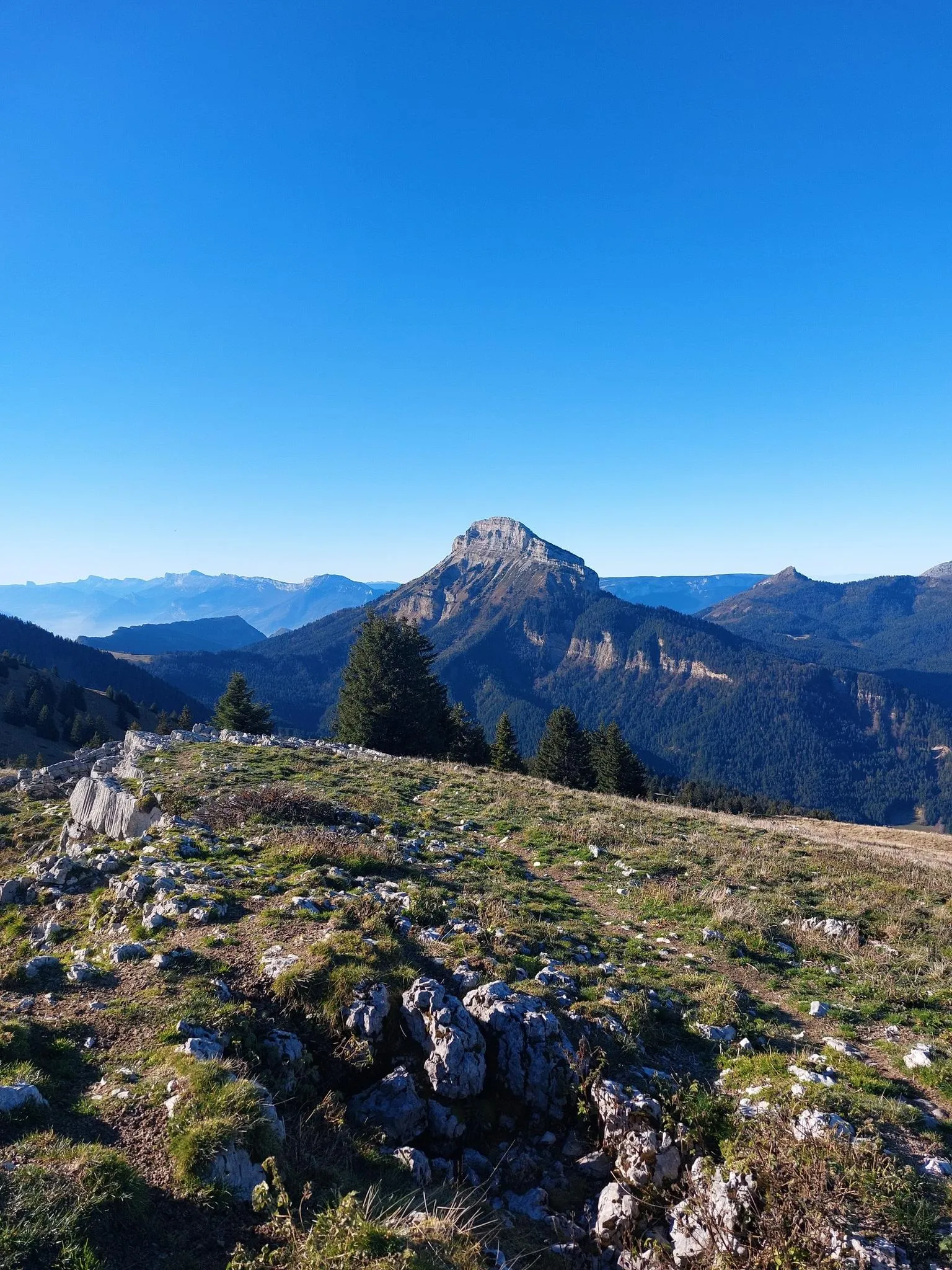
Summits, plateaus and panoramas — 20 trail outings in Chartreuse
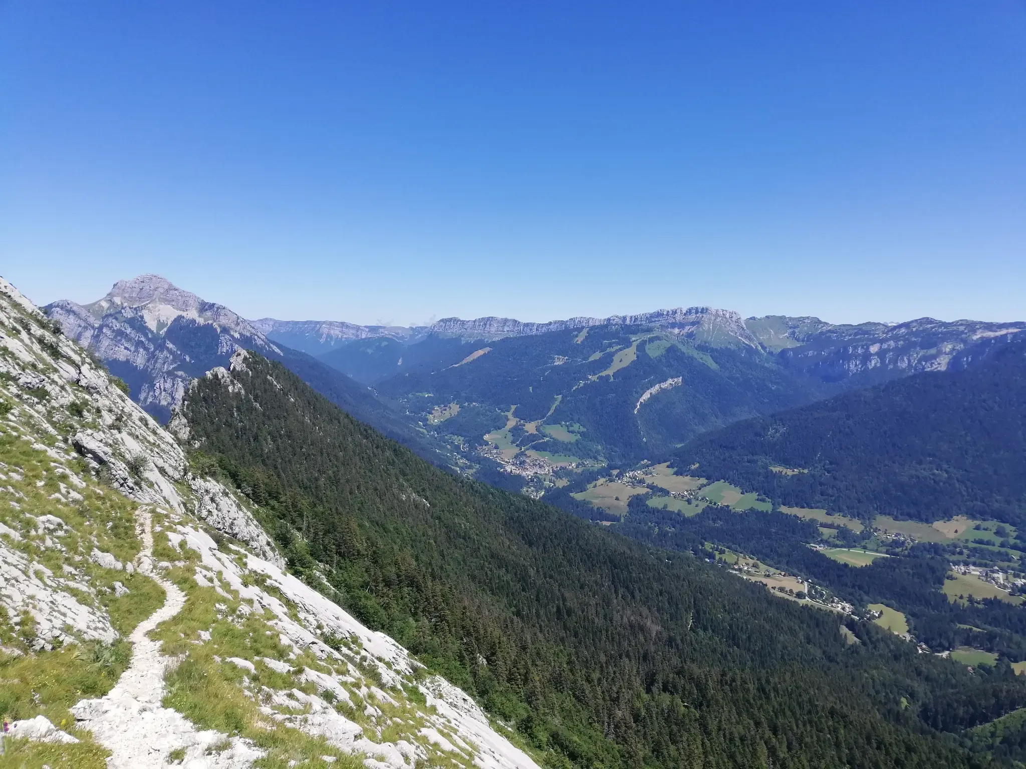
At the gates of Chartreuse in France – Grenoble to Voiron
Road Cycling Routes around Proveysieux
Running Trails around Proveysieux
Hiking around Proveysieux
MTB Trails around Proveysieux

Gravel biking around Proveysieux

Mountain Hikes around Proveysieux


Tips from the Community

Lovely pedestrian bridge with a beautiful view of the Isère river
0
0

small pass between Corenc and Sapey. The road is very good
0
0
the viewpoint is only visible on the way down, on the way up you have it behind you
0
0
This is one of the most beautiful sections of the Drac and Isère greenways around Grenoble. In spring, it smells of hay, I love it.
0
0
The place is fresh and green. You can take a little snack break there.
0
0
Frequently Asked Questions
How many touring cycling routes are available around Proveysieux?
There are over 450 touring cycling routes around Proveysieux, offering a wide range of options for different skill levels and preferences. The region is known for its diverse terrain within the Chartreuse Regional Natural Park.
What kind of terrain can I expect on touring cycling routes in Proveysieux?
Proveysieux, situated on the western balcony of the Chartreuse mountain range, offers varied terrain. You can expect mountainous landscapes with challenging climbs and exhilarating descents, as well as routes traversing dense forests and following river valleys like the Isère. The area provides stunning views of the Vercors Plateau and Belledonne massif.
Are there routes suitable for beginners or less experienced touring cyclists?
Yes, Proveysieux offers routes suitable for beginners. For example, the Grenoble – Along the Isère River loop from Saint-Égrève - Saint-Robert is an easy 19.9-mile (32.0 km) trail that follows the Isère River valley, offering a gentler experience. Another easy option is the Saint-Égrève Dam-Bridge – Grenoble loop from Saint-Égrève - Saint-Robert, which is 19.3 miles (19.4 km) long with minimal elevation gain.
What scenic viewpoints or landmarks can I see along the touring cycling routes?
Many routes offer impressive views. You can expect vistas of the Vercors Plateau and Belledonne massif. Specific routes like the View of the Vercors – Vence Pass loop from Saint-Égrève - Saint-Robert provide expansive views of the Vercors. The region also features natural sites like the Col du Coq, offering incredible views of snow-capped peaks.
Are there any historical sites or castles to explore near the cycling routes?
Yes, the area around Proveysieux features several historical sites. You can explore castles such as the Fort of Saint-Eynard or Sassenage Castle. Other notable structures include the Tour d'Arces, which also offers views of the Grésivaudan Valley.
Can I find routes that pass through natural features like gorges or rivers?
Absolutely. The region is rich in natural features. You can find routes that follow river valleys, such as the Isère. Additionally, there are several impressive gorges nearby, including Gorges du Guiers Mort, Coup de Sabre Gorge, and Gorges du Crossey.
When is the best time of year for touring cycling in Proveysieux?
The best time for touring cycling in Proveysieux is generally from spring through autumn. During these seasons, the weather is more favorable, and mountain passes are typically clear of snow, allowing access to higher elevations and panoramic views. The diverse landscapes, including forests and valleys, are particularly vibrant during these months.
Are there challenging routes for experienced touring cyclists?
Yes, experienced touring cyclists will find plenty of challenging options. The mountainous terrain of the Chartreuse offers significant elevation gains. A difficult route like the View of the Écoutoux Massif – Col de Porte (1326 m) loop from Saint-Égrève - Saint-Robert covers 29.4 miles (47.3 km) with substantial climbing, providing a demanding ride and rewarding views of the Écoutoux Massif and Col de Porte.
What do other cyclists say about touring cycling in Proveysieux?
The touring cycling routes around Proveysieux are highly rated by the komoot community, with an average score of 4.4 stars from over 1,700 reviews. Cyclists often praise the varied terrain, from challenging mountain ascents to peaceful riverside paths, and the stunning natural setting within the Chartreuse Regional Natural Park.
Are there circular touring cycling routes available?
Yes, many touring cycling routes in Proveysieux are designed as loops, allowing you to start and end at the same point. Examples include the Wild and cool loop from Saint-Égrève - Saint-Robert, which is a challenging 17.9-mile (28.8 km) route, and the easier Grenoble – Along the Isère River loop from Saint-Égrève - Saint-Robert.
Is public transport available to access touring cycling routes in Proveysieux?
Proveysieux is located about ten kilometers from Grenoble, which is a major hub for public transport. While direct public transport to specific trailheads in Proveysieux might be limited, accessing the general area via Grenoble and then cycling to your starting point is a viable option. For more information on transport options in the wider region, you might find details on the Grenoble tourism website.
Are there family-friendly touring cycling routes in Proveysieux?
Yes, there are options suitable for families, particularly the easier routes that follow river valleys or have minimal elevation gain. The region also offers other family-friendly outdoor activities within the Chartreuse, such as orienteering courses and treasure hunts, which can complement a cycling trip.
Most popular routes around Proveysieux
Most popular attractions around Proveysieux

Get inspired with the komoot mobile app


Explore more
Browse the best Cycling routes in other regions.
