The best traffic-free bike rides around Guillestre
4.5
(398)
18,729
riders
10
rides
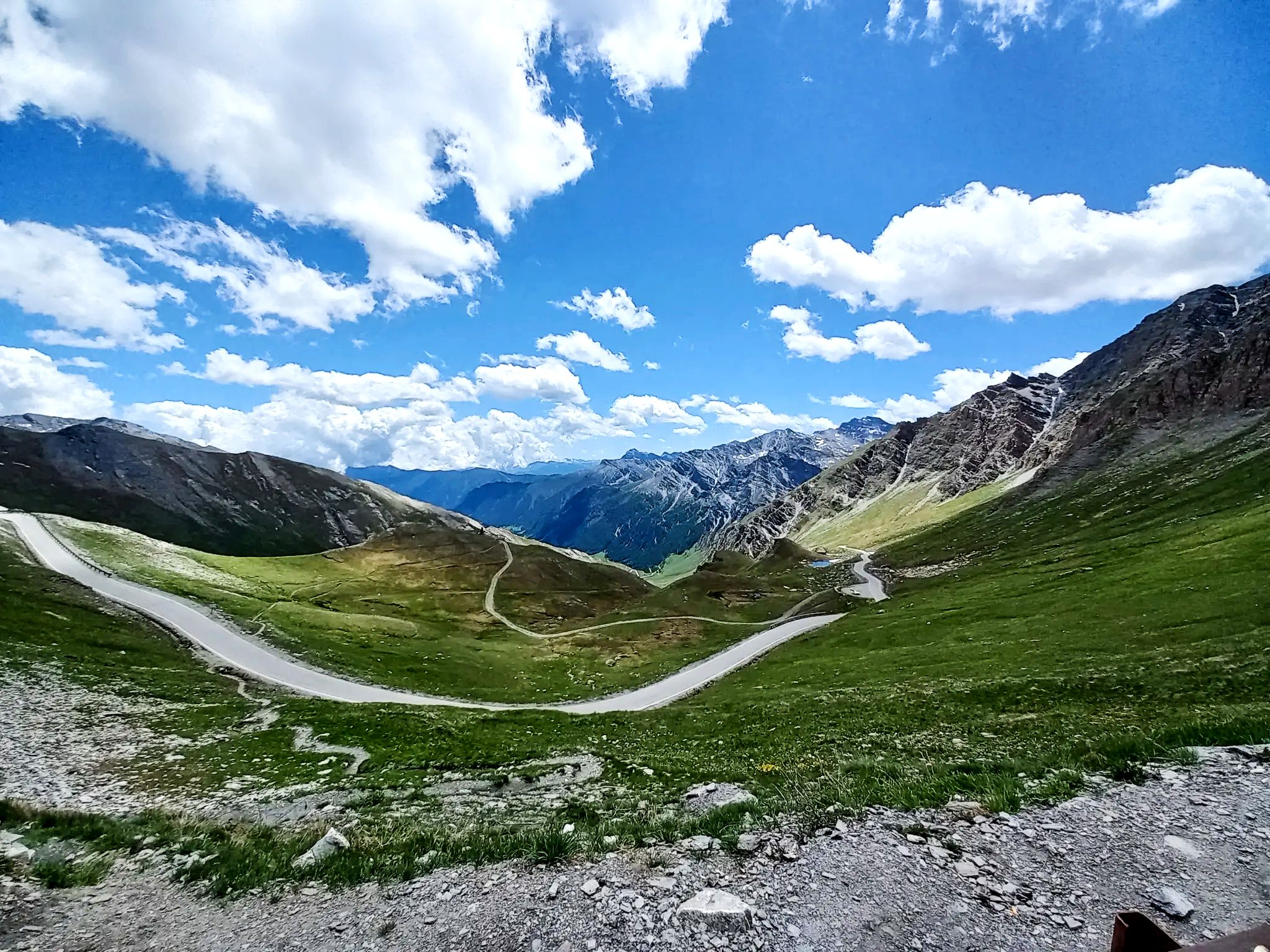
No traffic road cycling routes around Guillestre are characterized by their location at the gateway to the Queyras mountains in the Southern French Alps. The region features a diverse landscape of high mountain passes, deep gorges like the Gorges du Guil, and alpine valleys. Cyclists encounter varied terrain, from preserved natural areas to the unique geological formations of the Casse Déserte.
Best no traffic road cycling routes around Guillestre
- The most popular no traffic road cycling route is Guillestre - Risoul Loop Trail, a 23.8 miles (38 km) trail that takes 2 hours 32 minutes to complete. This difficult route offers significant elevation gains through mountain landscapes.
- Another top favourite among local road cyclists is Mont-Dauphin – Risoul loop from Montdauphin-Guillestre, a difficult 19.9 miles (32 km) path. This route passes by the historic Fort Mont-Dauphin, offering panoramic views of the Durance valley.
- Local road cyclists also love the Risoul – Risoul loop from Risoul, a 10.8 miles (17 km) trail leading through alpine scenery, often completed in about 1 hour 13 minutes.
- Road cycling around Guillestre is defined by iconic mountain passes, spectacular gorges, and high alpine valleys. The network offers options for different ability levels, from moderate rides to challenging climbs.
- The routes in Guillestre are highly rated by the komoot community with an average score of 4.6 stars from over 285 reviews. More than 12,000 road cyclists have used komoot to explore Guillestre's varied terrain.
Last updated: July 3, 2026
4.3
(9)
437
riders
38.4km
02:32
1,170m
1,170m
Hard road ride. Very good fitness required. Mostly well-paved surfaces and easy to ride.
4.3
(8)
407
riders
32.1km
02:05
970m
970m
Hard road ride. Very good fitness required. Mostly well-paved surfaces and easy to ride.

Sign up for free
4.8
(5)
231
riders
22.3km
01:32
760m
770m
Moderate road ride. Good fitness required. Mostly well-paved surfaces and easy to ride.
4.0
(1)
18
riders
13.2km
00:48
340m
330m
Moderate road ride. Good fitness required. Mostly well-paved surfaces and easy to ride.
4.0
(1)
14
riders
22.7km
01:37
590m
580m
Moderate road ride. Good fitness required. Some segments of this route may be unpaved and difficult to ride.
Get access to more routes and recommendations from other explorers.
Sign up for free
Already have an account?
Our route recommendations are based on thousands of hikes, rides, and runs completed by other people on komoot.
Start today with a free account
Your next adventure awaits.
Login or Signup



Other adventures around Guillestre


Tips from the Community

You can stop here for a break.
16
0
Once you reach the top of this long climb you can enjoy the beauty of Risoul and its landscapes.
4
0
Nature created this incredible mountain.
17
0
Pretty little village with a centre worth visiting.
13
0
Yes, they make really excellent sandwiches here.
15
0


Beautiful views of the Via Domizia
0
0

Frequently Asked Questions
How many no-traffic road cycling routes are available around Guillestre?
There are 9 dedicated no-traffic road cycling routes around Guillestre featured in this guide. These routes offer a range of difficulties, from moderate to difficult, ensuring options for various fitness levels.
What kind of terrain and elevation can I expect on these no-traffic road cycling routes?
The routes around Guillestre feature varied terrain, often involving significant elevation gains typical of the Southern French Alps. For example, the Guillestre - Risoul Loop Trail includes over 1,100 meters of ascent, while the Mont-Dauphin – Bridge Over the Guil River loop from Guillestre offers a more moderate climb of around 335 meters.
Are there any easy no-traffic road cycling routes suitable for beginners or families?
While many routes in the region are moderate to difficult, there are options that cater to good fitness levels. For those seeking a less strenuous ride, routes with lower elevation gains, such as the Mont-Dauphin – Bridge Over the Guil River loop from Guillestre, might be more suitable. Always check the route details for specific difficulty and elevation.
What are some notable landmarks or viewpoints I can see along these routes?
Many routes offer stunning views and pass by significant landmarks. You can expect to see the impressive Risoul viewpoint, and some routes may offer glimpses of the Queyras Regional Nature Park. The region is also home to the historic Fort Mont-Dauphin, a UNESCO World Heritage site, and the spectacular Gorges du Guil.
What natural features can I expect to encounter on the no-traffic road bike trails?
The Guillestre area is rich in natural beauty. You'll cycle through the gateway to the Queyras mountains, with opportunities to see the dramatic Gorges du Guil, and potentially views towards the Ecrins National Park. The region is known for its preserved landscapes, from forests to flowering meadows, and features like the Simoust waterfall or picturesque mountain lakes such as Mirror Lake (Lac Miroir) are also nearby.
What is the best time of year for no-traffic road biking in Guillestre?
The Southern French Alps are generally best for road cycling from late spring through early autumn (May to October). During these months, the weather is typically more stable, and mountain passes are clear of snow. Always check local weather conditions before heading out, especially for higher elevation routes.
Are there any circular no-traffic road bike routes around Guillestre?
Yes, several routes are designed as loops, allowing you to start and end in the same location. Examples include the challenging Guillestre - Risoul Loop Trail and the Mont-Dauphin – Risoul loop from Montdauphin-Guillestre. These circular routes are convenient for exploring the region without needing a return trip arrangement.
Where can I find parking for these no-traffic road cycling routes near Guillestre?
Guillestre and nearby towns like Mont-Dauphin often have public parking available. For routes starting from specific villages or attractions, designated parking areas are usually provided. It's advisable to check the starting point of your chosen route for specific parking information.
Are there any routes that pass by cafes or places to stop for refreshments?
Many routes in the Guillestre region pass through or near charming villages where you can find cafes and local shops. For instance, the Risoul – Risoul loop from Risoul starts and ends in Risoul, which offers amenities. Planning your route with komoot allows you to identify potential stops along the way.
What do other road cyclists enjoy most about road cycling in Guillestre?
The area is highly rated by the komoot community, with an average score of 4.59 stars. Reviewers often praise the stunning mountain scenery, the challenge of iconic passes like Col de Vars and Col d'Izoard, and the sense of achievement from tackling routes in a region known for its cycling heritage.
Can I combine these no-traffic routes with sections of the Route des Grandes Alpes?
Guillestre is a key point on the famous Route des Grandes Alpes, with stages connecting to Briançon via the Col de l'Izoard and to Barcelonnette via the Col de Vars. While this guide focuses on no-traffic routes, you can certainly use Guillestre as a base to explore sections of this iconic route, keeping in mind that some parts of the Route des Grandes Alpes may have traffic. For more information on the Route des Grandes Alpes, you can visit France Vélo Tourisme.
Most popular routes around Guillestre
Most popular attractions around Guillestre

Get inspired with the komoot mobile app


Explore more
Browse the best Road cycling routes in other regions.
