The best walks and hikes around Guillestre
4.6
(253)
2,180
hikers
44
hikes
Hiking around Guillestre offers diverse and dramatic landscapes in the Hautes-Alpes region of France. Situated at 1,000 meters, it provides access to the Queyras Regional Natural Park and the Écrins National Park. The terrain features high mountain environments, coniferous forests, deep valleys, and the impressive Gorges du Guil carved by the Guil river. This area is characterized by a blend of alpine peaks, picturesque mountain lakes, and unique rock formations.
Best hiking trails around Guillestre
- The most popular hiking route…
Last updated: July 1, 2026
4.6
(28)
133
hikers
12.0km
03:45
420m
420m
Moderate hike. Good fitness required. Mostly accessible paths. Sure-footedness required.
4.7
(15)
78
hikers
7.83km
02:25
250m
250m
Moderate hike. Good fitness required. Mostly accessible paths. Sure-footedness required.

Sign up for free
4.6
(9)
79
hikers
13.7km
04:11
410m
410m
Moderate hike. Good fitness required. Mostly accessible paths. Sure-footedness required.
4.8
(4)
70
hikers
4.17km
01:20
140m
140m
Moderate hike. Great for any fitness level. Mostly accessible paths. Sure-footedness required.
4.5
(2)
42
hikers
16.3km
06:50
1,140m
1,140m
Hard hike. Very good fitness required. Mostly accessible paths. Sure-footedness required.
Get access to more routes and recommendations from other explorers.
Sign up for free
Already have an account?
Our route recommendations are based on thousands of hikes, rides, and runs completed by other people on komoot.
Start today with a free account
Your next adventure awaits.
Login or Signup
Popular around Guillestre

Route des Grandes Alpes

Cycling from the Italian Riviera to the French Alps – Alpine Arc (part 1)
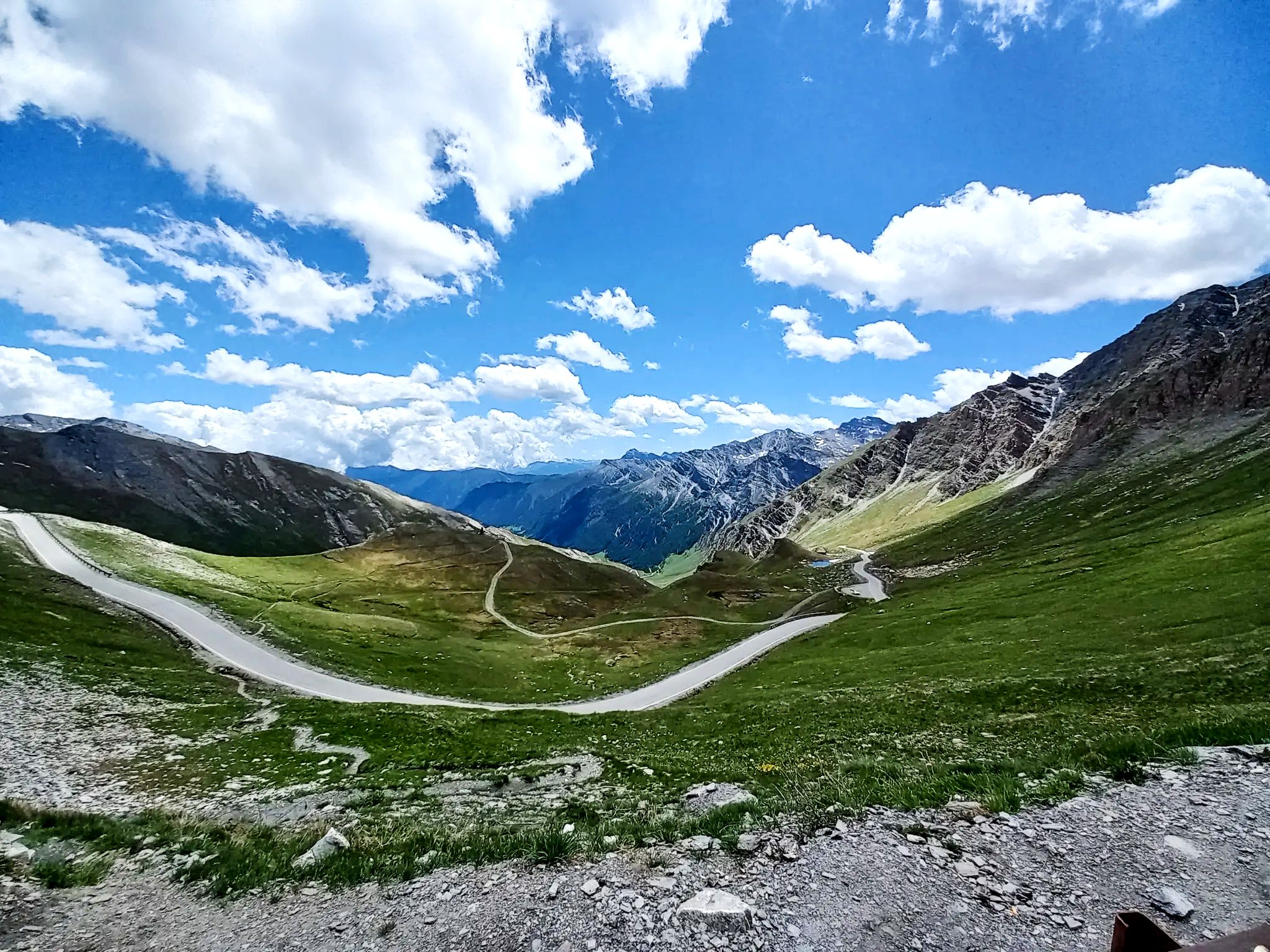
Lakes, white water and summits – Spain’s Queyras Mountains
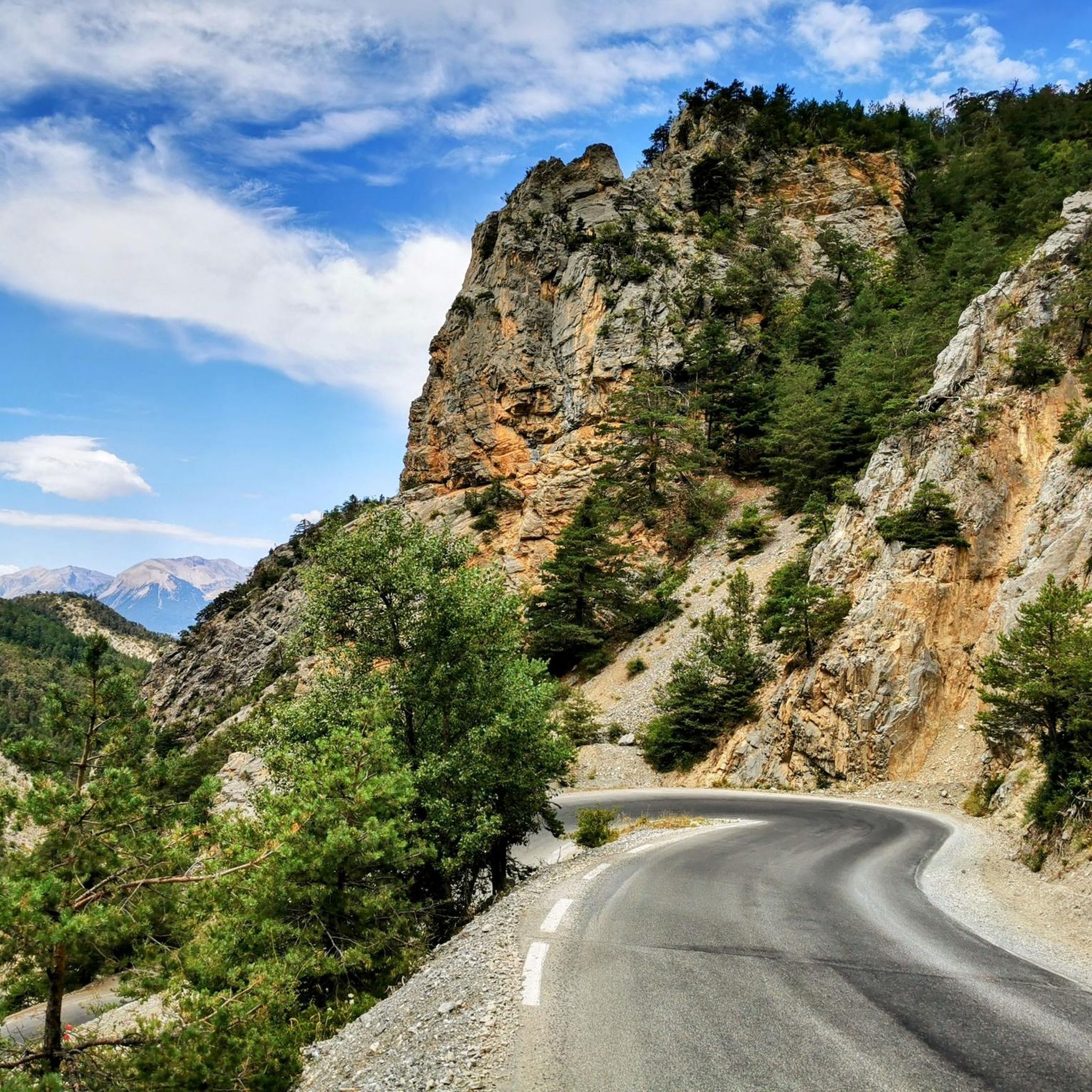
Road Cycling Routes around Guillestre
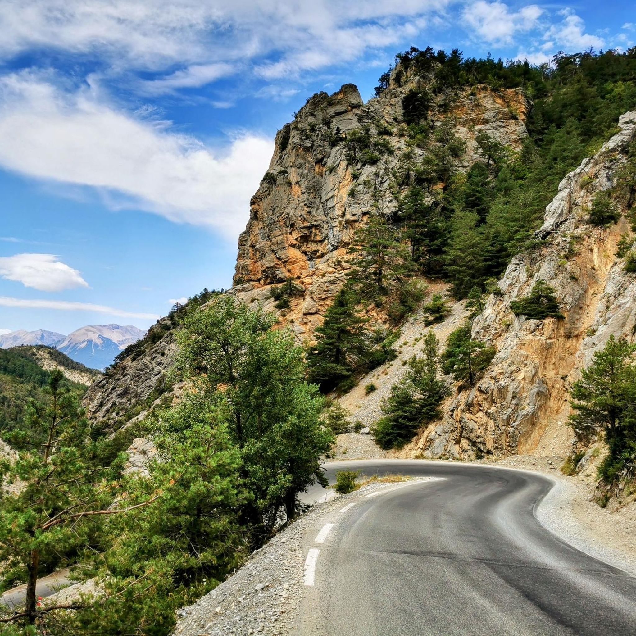
MTB Trails around Guillestre
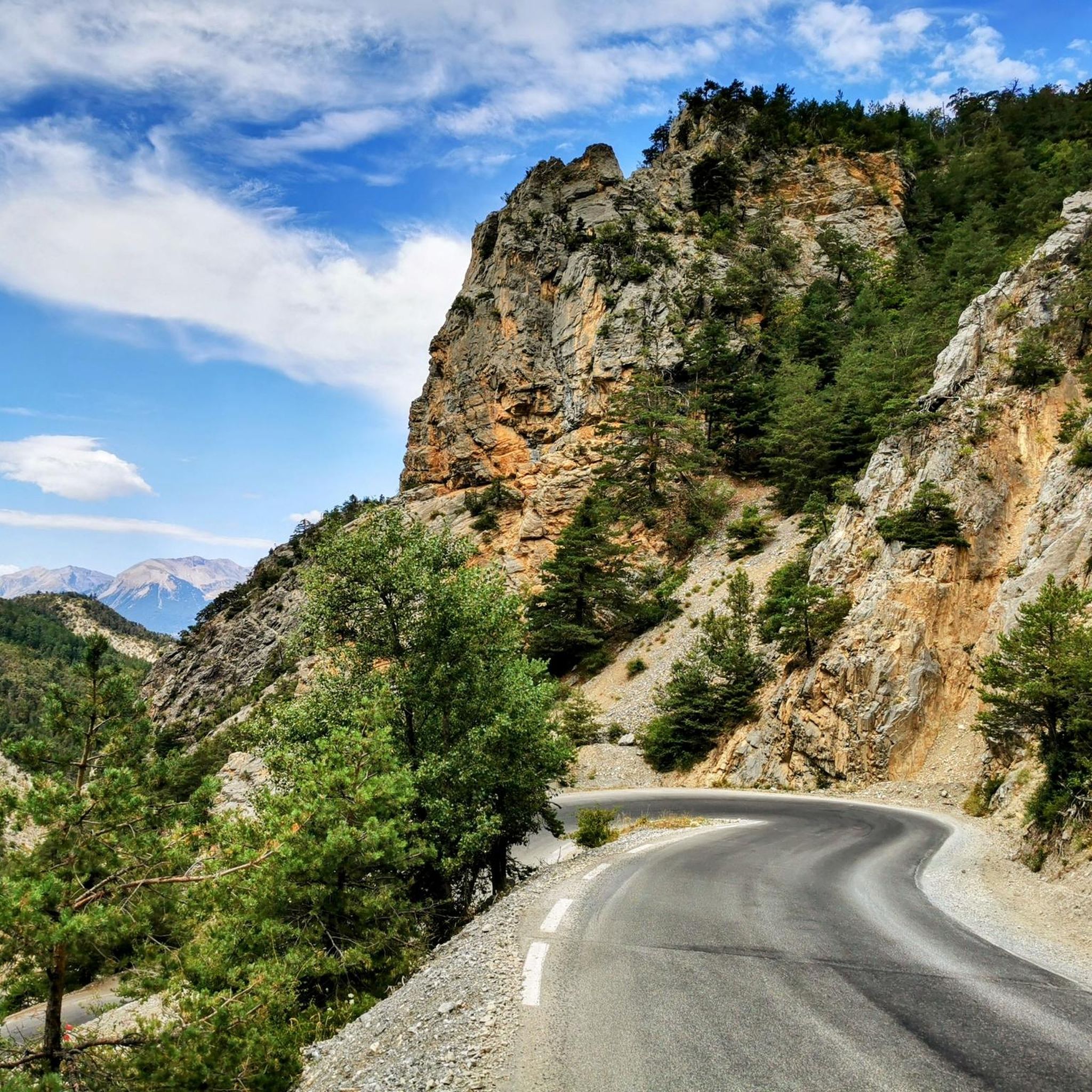
Cycling around Guillestre
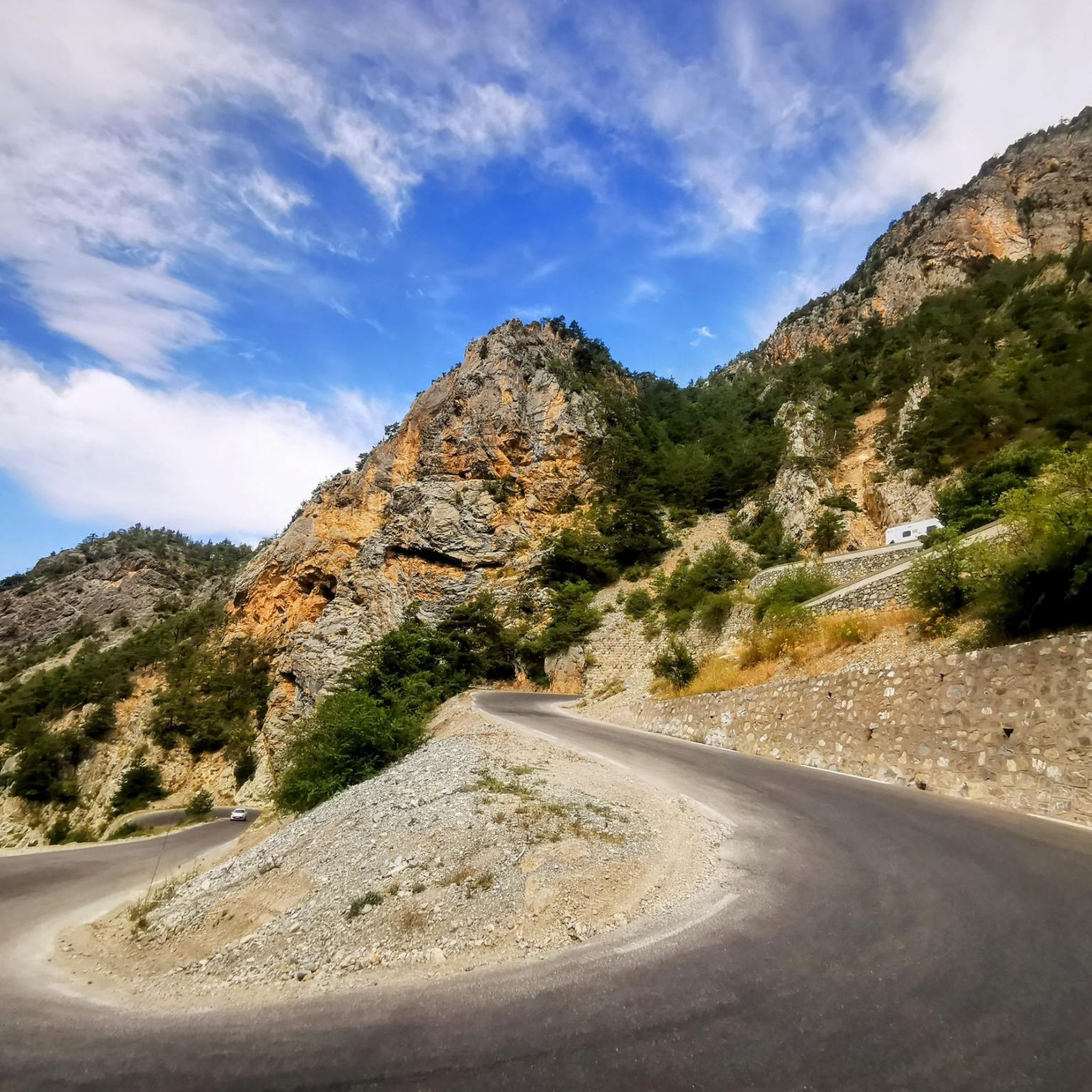
Running Trails around Guillestre

Gravel biking around Guillestre
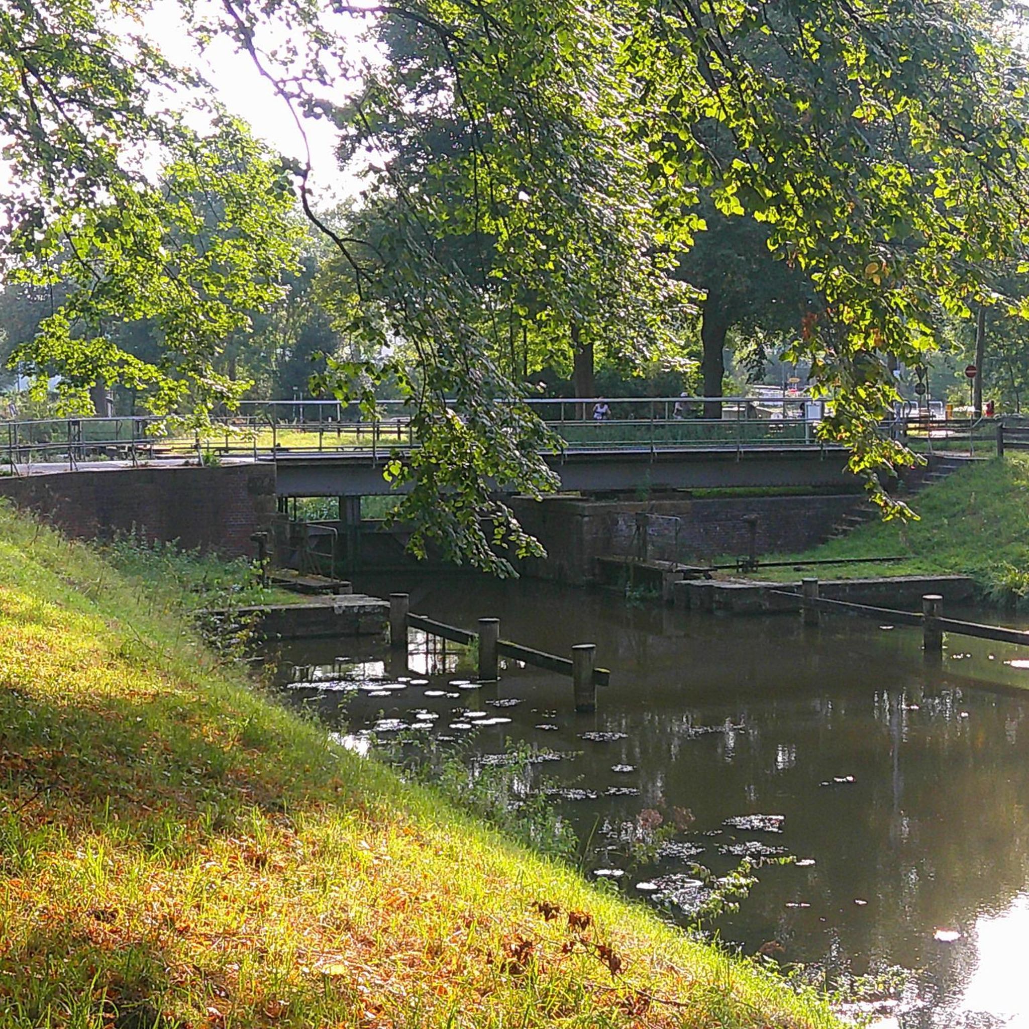
Mountain Hikes around Guillestre
Other adventures around Guillestre


Tips from the Community

Beautiful views of the Via Domizia
0
0
Beautiful church on the Via Domizia
0
0
Beautiful town on the Via Domizia
0
0


beautiful walk in a shaded valley. To do in summer when it's hot
0
0

nice path with many climbers (via feratta)
0
0


El Col Fromage, at a crossroads of trails, is a strategic location in the Queyras Regional Natural Park. To the right of Col Fromage is an old military refuge that offers an interesting stop when it is very hot or very cold. This route is very popular with mountain bikers, it allows you to easily change valleys (go from Château-Queyras to Ceillac), with scenery, without too much difficulty. The most experienced will climb to Col des Estronques via the Travesía.
0
0
Frequently Asked Questions
How many hiking trails are available around Guillestre?
There are over 40 hiking trails around Guillestre, catering to various skill levels. You'll find a good mix of easy, moderate, and difficult routes to explore the diverse landscapes of the Hautes-Alpes region.
Are there any easy or family-friendly hiking routes in Guillestre?
Yes, Guillestre offers several easy routes suitable for families. For a pleasant stroll, consider the Rue de Masque loop from Guillestre, which is just over 4 km long with minimal elevation gain. The region's trails are generally well-documented, making it easier to find paths suitable for all ages.
What kind of natural features can I expect to see on hikes around Guillestre?
Hiking around Guillestre offers a stunning array of natural beauty. You can explore the dramatic Gorges of the Guil, carved by the Guil river, with their unique pink, purple, and black rock formations. The area is also dotted with picturesque mountain lakes like Mirror Lake, and vast coniferous forests, some containing ancient juniper trees.
Are there any circular hiking routes near Guillestre?
Yes, many routes around Guillestre are circular, offering varied scenery without retracing your steps. A popular option is the Bridge Over the Guil River – Mont-Dauphin loop from Guillestre, which provides views of the historic fortified town of Mont-Dauphin and the Guil river.
What is the best time of year to go hiking in Guillestre?
The best time for hiking in Guillestre is generally from late spring to early autumn (May to October). During these months, the weather is milder, and the trails are typically clear of snow, offering ideal conditions to enjoy the high mountain environments, forests, and valleys. Some higher passes might still have snow earlier in the season.
Are there any challenging hikes for experienced trekkers?
Absolutely. For experienced trekkers seeking a challenge, the region offers difficult routes with significant elevation gain. An example is the Fromage Pass – Ceillac loop from Passerelle sur Riou Vert, which covers over 16 km and involves more than 1,100 meters of ascent, taking you through high mountain terrain.
Can I access hiking trails in Guillestre using public transport?
While some trailheads might be accessible via local bus services, public transport options can be limited for reaching all hiking starting points directly. It's advisable to check local bus schedules in Guillestre for routes that connect to nearby villages or key trail access points, especially during peak season.
What do other hikers say about the trails in Guillestre?
The hiking trails in Guillestre are highly regarded by the komoot community, with an average rating of 4.6 stars from over 240 reviews. Hikers often praise the diverse landscapes, from deep gorges to high mountain pastures, and the well-maintained paths that offer stunning panoramic views.
Are there any specific viewpoints or scenic spots along the trails?
Many trails offer breathtaking views. The region is known for its majestic mountain passes like Fromage Pass, which provide expansive vistas. Routes through the Gorges du Guil also offer dramatic perspectives of the river-carved landscape. Keep an eye out for unique geological formations like 'La demoiselle coiffée de Gambarel'.
Are dogs allowed on the hiking trails around Guillestre?
Many trails in the Guillestre area are dog-friendly, especially those outside of the most sensitive protected areas within the national parks. However, it's always recommended to keep dogs on a leash, particularly in areas with livestock or wildlife, and to check specific park regulations if venturing into the Queyras Regional Natural Park or Écrins National Park.
Where can I find parking for hiking trailheads in Guillestre?
Guillestre and its surrounding villages typically offer designated parking areas near popular trailheads. While specific parking availability can vary, you'll often find free or paid parking lots in town centers or at the start of well-known routes. It's a good idea to arrive early during busy periods to secure a spot.
Are there any routes that pass through the Gorges du Guil?
Yes, you can experience the impressive Gorges du Guil on several routes. For example, the Bridge Over the Guil River – Church of Our Lady of the Aquilon loop from Guillestre leads through these dramatic gorges and coniferous forests, offering a unique hiking experience.
Most popular routes around Guillestre
Most popular attractions around Guillestre

Get inspired with the komoot mobile app


Explore more
Browse the best Hikes in other regions.
