The best hikes from bus stations around Pontoise
4.5
(2422)
12,601
hikers
564
hikes
Bus station hiking trails around Pontoise provide access to the diverse landscapes of the Vexin Français Regional Natural Park. The region features a mix of limestone plateaus, green valleys, and hillsides, with the Oise and Viosne rivers carving picturesque routes. Forests and woodlands, such as those near Montmorency, contribute to varied terrain suitable for hiking. This area offers a network of paths through natural and cultural sites.
Best bus station hiking trails around Pontoise
- The most popular bus station hiking…
Last updated: July 2, 2026
4.7
(53)
218
hikers
17.2km
04:51
330m
330m
Moderate hike. Good fitness required. Mostly accessible paths. Sure-footedness required.
4.7
(46)
188
hikers
14.6km
04:08
290m
290m
Moderate hike. Good fitness required. Mostly accessible paths. Sure-footedness required.

Sign up for free
4.6
(21)
77
hikers
10.4km
02:56
210m
210m
Moderate hike. Good fitness required. Mostly accessible paths. Sure-footedness required.
4.6
(24)
74
hikers
10.3km
02:56
210m
210m
Moderate hike. Good fitness required. Mostly accessible paths. Sure-footedness required.
4.6
(20)
81
hikers
15.8km
04:19
240m
240m
Moderate hike. Good fitness required. Easily-accessible paths. Suitable for all skill levels.
Get access to more routes and recommendations from other explorers.
Sign up for free
Already have an account?
Our route recommendations are based on thousands of hikes, rides, and runs completed by other people on komoot.
Start today with a free account
Your next adventure awaits.
Login or Signup
Popular around Pontoise

Hikes from bus stations in Vexin Français

Hikes from bus stations in Forêt De L'Isle-Adam

Hikes from bus stations around Forêt Domaniale de Montmorency
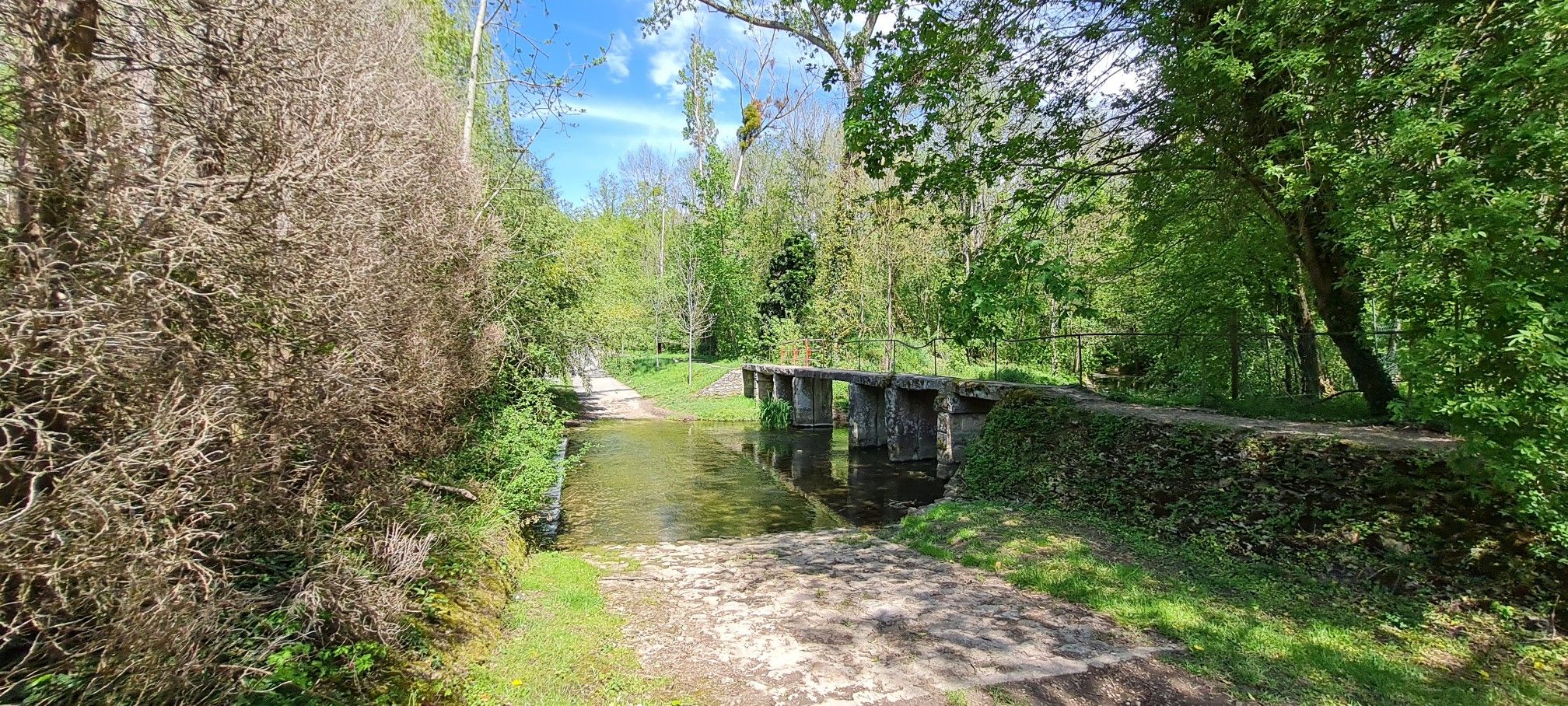
Walking around Ile-de-France in Paris – GR 1
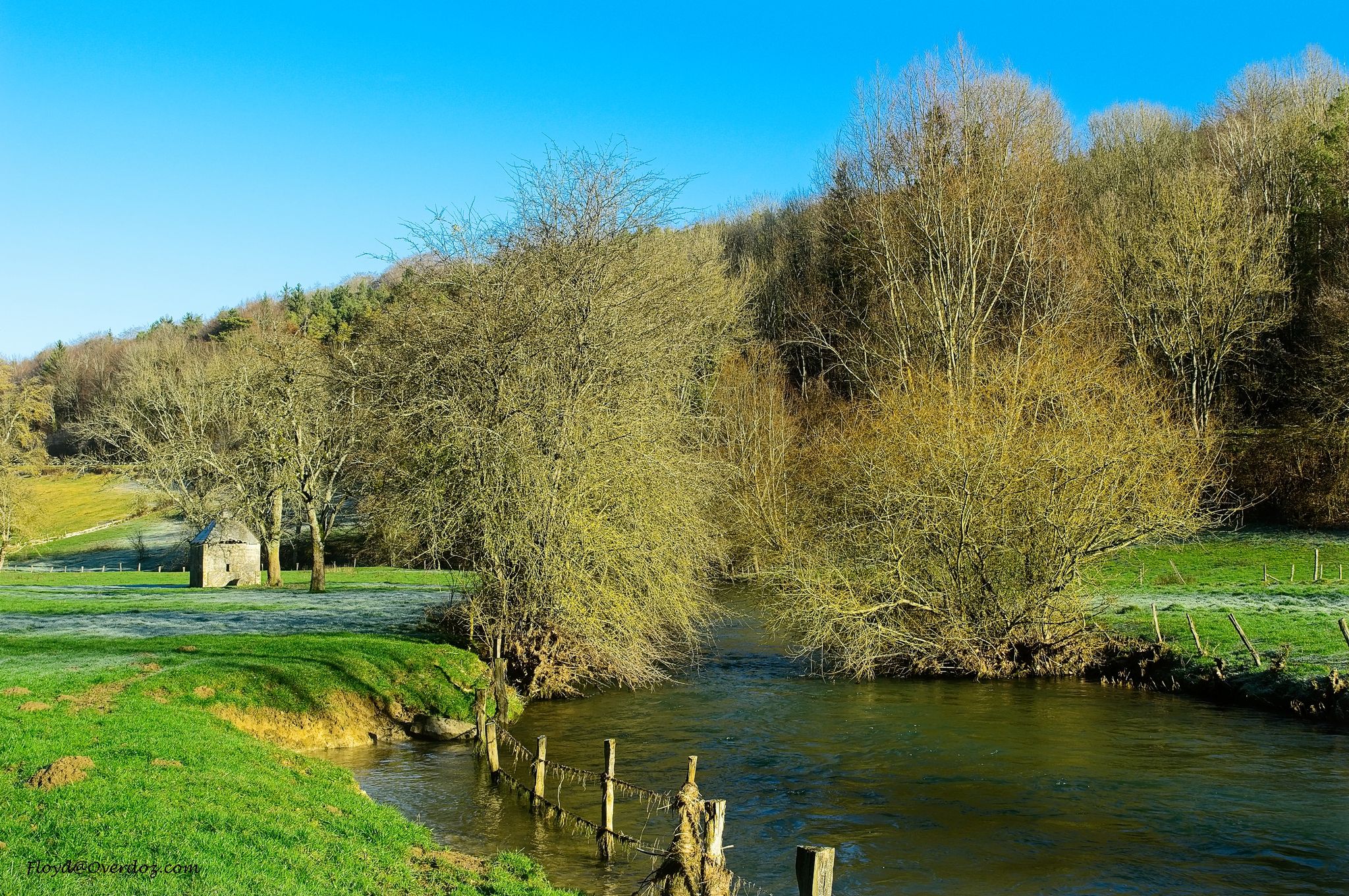
Exploring the Seine on the Île-de-France – hike the GR 2
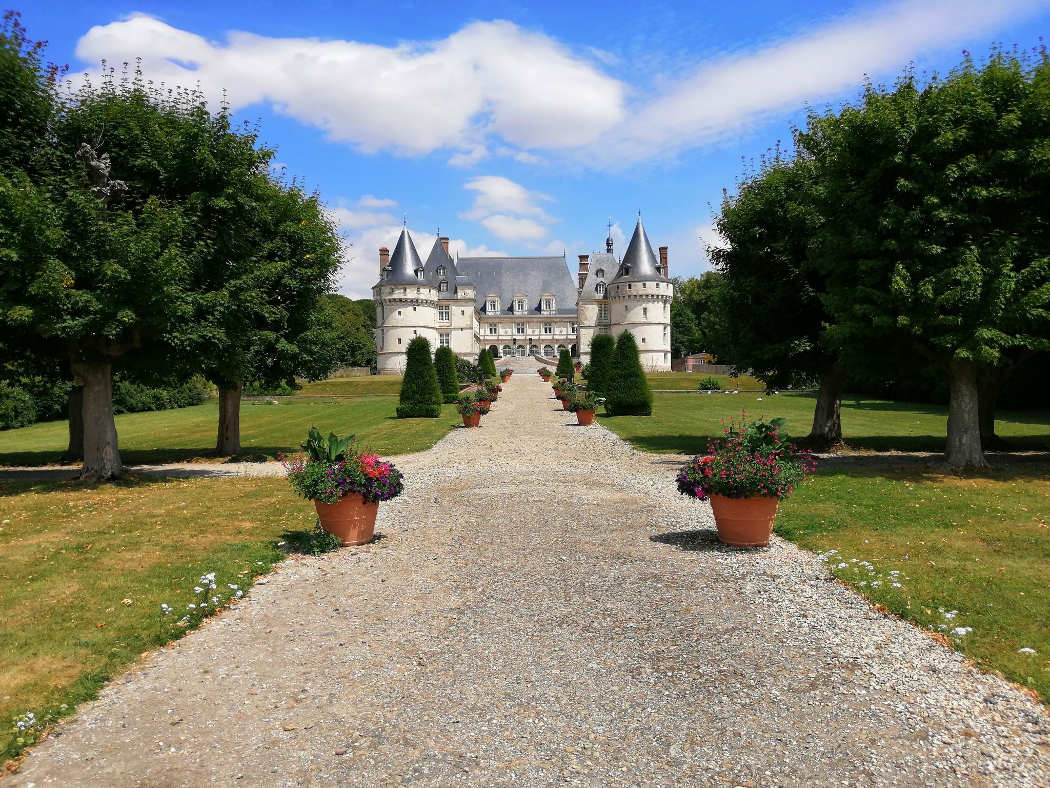
Avenue Verte – Cycling a beautiful adventure from London to Paris
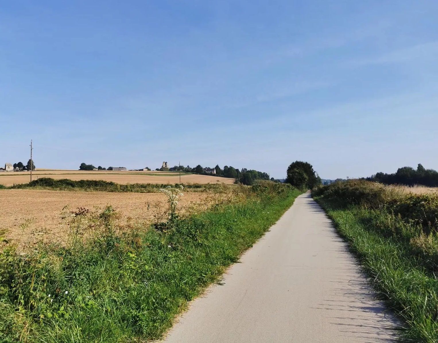
On the roads of the Avenue Verte in France – Oise and Vexin loop
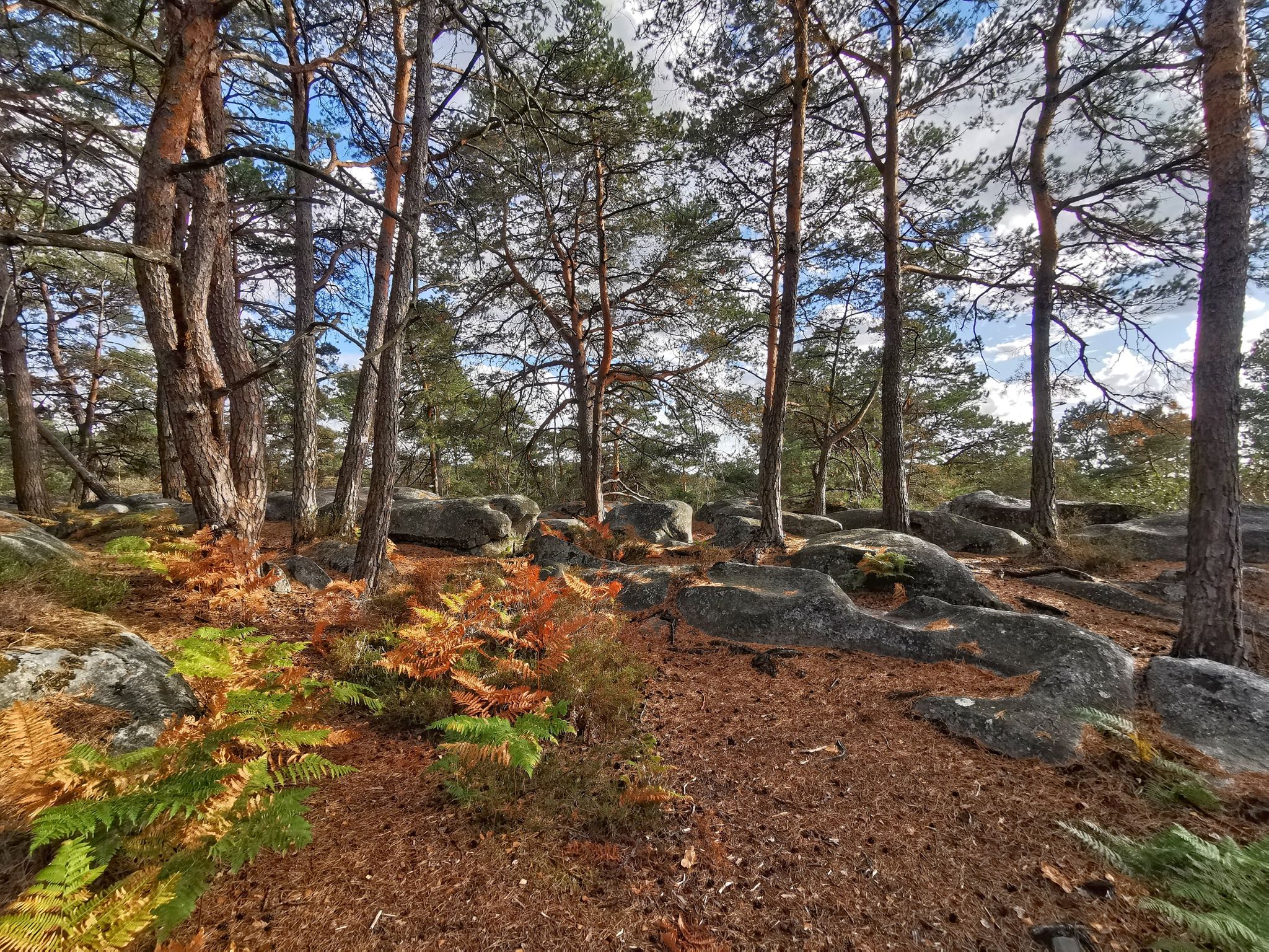
Natural beauty on Île-de-France – mountain biking around Paris
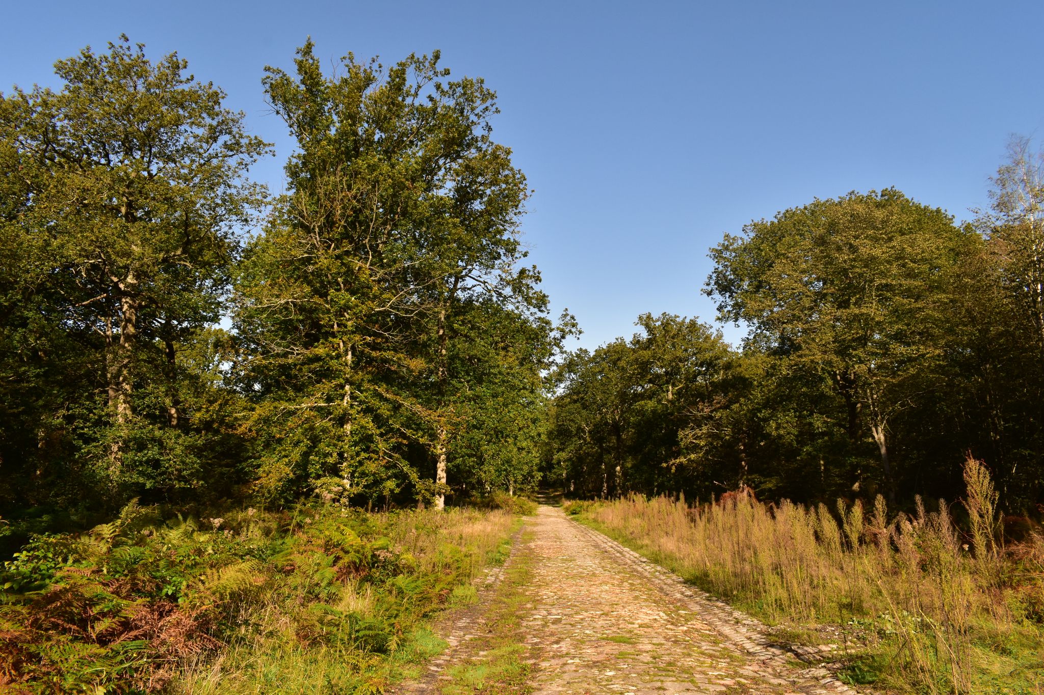
In the heart of Ile-de-France’s landscapes — 7 trails north of Paris
Other adventures around Pontoise


Tips from the Community

Superb view between Vétheuil and La Roche-Guyon
0
0

Beautiful hike but some paths are not easy to find. I have the impression that some paths are not used enough to remain visible.
0
0
A pleasant loop that is both accessible and technical.
0
0

Very small but very cute castle in the middle of the forest
0
0

Plan to have good brakes for the descent!
0
0

very beautiful peaceful place
0
0

It's a shame that the forestry machines don't restore the site to its original state.
0
0
Frequently Asked Questions
How many hiking trails are accessible from bus stations around Pontoise?
There are over 560 hiking routes around Pontoise that are accessible via bus stations. These trails offer a wide variety of experiences, from easy strolls to more challenging excursions through the diverse landscapes of the Vexin Français Regional Natural Park.
What kind of terrain and difficulty can I expect on bus-accessible hikes near Pontoise?
The region around Pontoise, particularly within the Vexin Français Regional Natural Park, offers varied terrain. You'll find a mix of limestone plateaus, green valleys, forests, and riverbanks along the Oise and Viosne. Out of the 563 available routes, 226 are considered easy, 306 are moderate, and 31 are difficult, ensuring options for all fitness levels.
Are there family-friendly hiking options reachable by bus from Pontoise?
Yes, many of the trails accessible by bus are suitable for families. The Vexin Français Regional Natural Park features numerous easy paths perfect for a leisurely walk with children. Look for routes that explore charming villages or follow the banks of the Oise river for a pleasant family outing.
Can I bring my dog on these bus-accessible hiking trails?
Generally, dogs are welcome on many hiking trails in the Pontoise region, especially within the Vexin Français Regional Natural Park. However, it's always advisable to keep your dog on a leash, especially in nature reserves, agricultural areas, or near livestock. Check local signage for specific restrictions on individual trails.
Are there circular hiking routes that I can start and end at a bus station?
Yes, the region offers many circular routes designed for convenience. For example, the La Roche-Guyon Castle – Coteaux de la Seine loop from Chérence is a challenging 17.9 km circular hike, while the La Roche-Guyon Castle – Coteaux de la Seine loop from Gasny offers a moderate 14.6 km option. These routes allow you to return to your starting point without needing additional transport.
What natural features or landmarks can I see along these bus-accessible routes?
The bus-accessible routes around Pontoise offer a wealth of natural beauty and historical landmarks. You can explore the diverse landscapes of the Vexin Français Regional Natural Park, including river valleys and forests. Notable attractions include the impressive La Roche-Guyon Castle, the dramatic Cliffs of La Roche-Guyon, and the serene The Blue Lake of Carnelle. Many trails also pass through charming villages and past historical sites like old mills and wash houses.
What is the best time of year to hike near Pontoise using public transport?
The Pontoise region is beautiful throughout the year, but spring and autumn are particularly pleasant for hiking. In spring, the landscapes burst with greenery and wildflowers, while autumn offers stunning foliage. Summer can be warm, so early morning or late afternoon hikes are recommended. Winter hiking is also possible, especially on lower-elevation trails, but be prepared for cooler temperatures and potentially muddy conditions.
Are there any routes that highlight the Impressionist heritage of Pontoise?
Yes, Pontoise was a significant inspiration for Impressionist painters like Pissarro and Cézanne. While specific komoot routes are not listed here, the region offers 'Impressionist walks' that trace the footsteps of these artists, often with reproductions of their canvases placed at the original painting locations. These walks typically explore Pontoise's ramparts, the Hermitage Quarter, and the banks of the Oise, all of which are generally accessible via public transport.
What do other hikers enjoy most about hiking from bus stations around Pontoise?
The komoot community highly rates the hiking experiences around Pontoise, with an average score of 4.5 stars. Hikers frequently praise the region's diverse landscapes, the tranquility of the Vexin Français Regional Natural Park, and the accessibility of trails via public transport. The blend of natural beauty with historical and cultural sites, such as castles and charming villages, is also a common highlight.
Are there any longer, more challenging hikes accessible by bus?
For those seeking a more demanding adventure, there are several longer and more difficult routes. The La Roche-Guyon Castle – Coteaux de la Seine loop from Chérence, for instance, is a difficult 17.9 km hike with over 350 meters of elevation gain. Another option is the moderate Hunting Castle – Tour du Plumet loop from Montlignon, covering 15.8 km with significant elevation changes.
What should I bring for a hike near Pontoise, especially when relying on bus transport?
When hiking from bus stations, always carry essentials like sufficient water, snacks, a fully charged phone, and a first-aid kit. Wear appropriate footwear for varied terrain and dress in layers suitable for changing weather conditions. A map or a downloaded komoot route is highly recommended, as mobile signal can be intermittent in some rural areas. Don't forget to check bus schedules in advance, especially for return journeys.
Most popular routes around Pontoise
Most popular attractions around Pontoise

Get inspired with the komoot mobile app


Didn’t find what you were looking for?
Check out more Hikes throughout Pontoise below and find the perfect route in your destination.
Explore more
Browse the best Hikes in other regions.
