The best hikes from bus stations around Forcalquier
4.4
(6133)
39,636
hikers
205
hikes
Bus station hiking trails around Forcalquier offer access to a diverse landscape situated between the Lure Mountain and the Luberon Regional Natural Park. The region features unique geological formations like the mushroom-shaped rocks of Les Mourres, dramatic gorges such as Oppedette, and panoramic views from hills and mountain slopes. Trails often traverse rolling hills, rocky outcrops, and valleys, providing varied terrain for exploration. This area is characterized by its Provençal environment, including dry stone structures and views of distant mountains.
Best bus station hiking trails around Forcalquier
- The most popular bus station hiking route is Forcalquier – Mourres Rocks loop from Forcalquier, a 7.9 miles (12.8 km) trail that takes 3 hours 45 minutes to complete. This route leads to the distinctive limestone formations of Les Mourres.
- Another top favourite among local hikers is Oppedette – Oppedette Gorge loop from Oppedette, a moderate 3.1 miles (5.0 km) path. This trail offers views into the dramatic Oppedette Gorge.
- Local hikers also love the Saint-Marc Chapel – Forcalquier loop from Forcalquier, a 4.0 miles (6.4 km) trail leading through the local hills and past the Saint-Marc Chapel, often completed in about 1 hour 55 minutes.
- Hiking around Forcalquier is defined by unique limestone formations, deep gorges, and panoramic mountain views, with options ranging from easy family-friendly walks to more challenging ascents. The extensive network of paths caters to various ability levels.
- The routes in Forcalquier are highly rated by the komoot community with an average score of 4.5 stars from over 4600 reviews. More than 30000 hikers have used komoot to explore Forcalquier's varied terrain.
Last updated: October 6, 2026
4.8
(28)
255
hikers
Hard hike. Very good fitness required. Sure-footedness, sturdy shoes and alpine experience required.
4.6
(52)
253
hikers
6.54km
01:55
190m
190m
Easy hike. Great for any fitness level. Easily-accessible paths. Suitable for all skill levels.

4.7
(25)
83
hikers
12.6km
03:44
360m
370m
Moderate hike. Good fitness required. Easily-accessible paths. Suitable for all skill levels.
5.0
(7)
68
hikers
24.0km
08:29
1,130m
1,130m
Hard hike. Very good fitness required. Mostly accessible paths. Sure-footedness required.
4.6
(24)
61
hikers
10.9km
03:17
330m
330m
Moderate hike. Good fitness required. Mostly accessible paths. Sure-footedness required.
Get access to more routes and recommendations from other explorers.
Already have an account?
Our route recommendations are based on thousands of hikes, rides, and runs completed by other people on komoot.
Start today with a free account
Your next adventure awaits.
Popular around Forcalquier
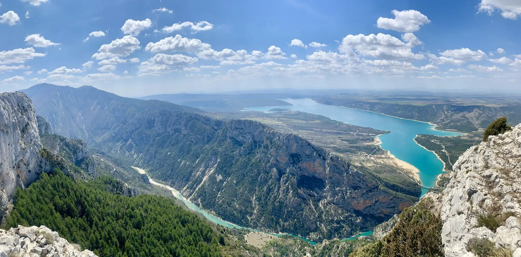
GR 4 – Crossing the south of France from Atlantic Coast to Provence
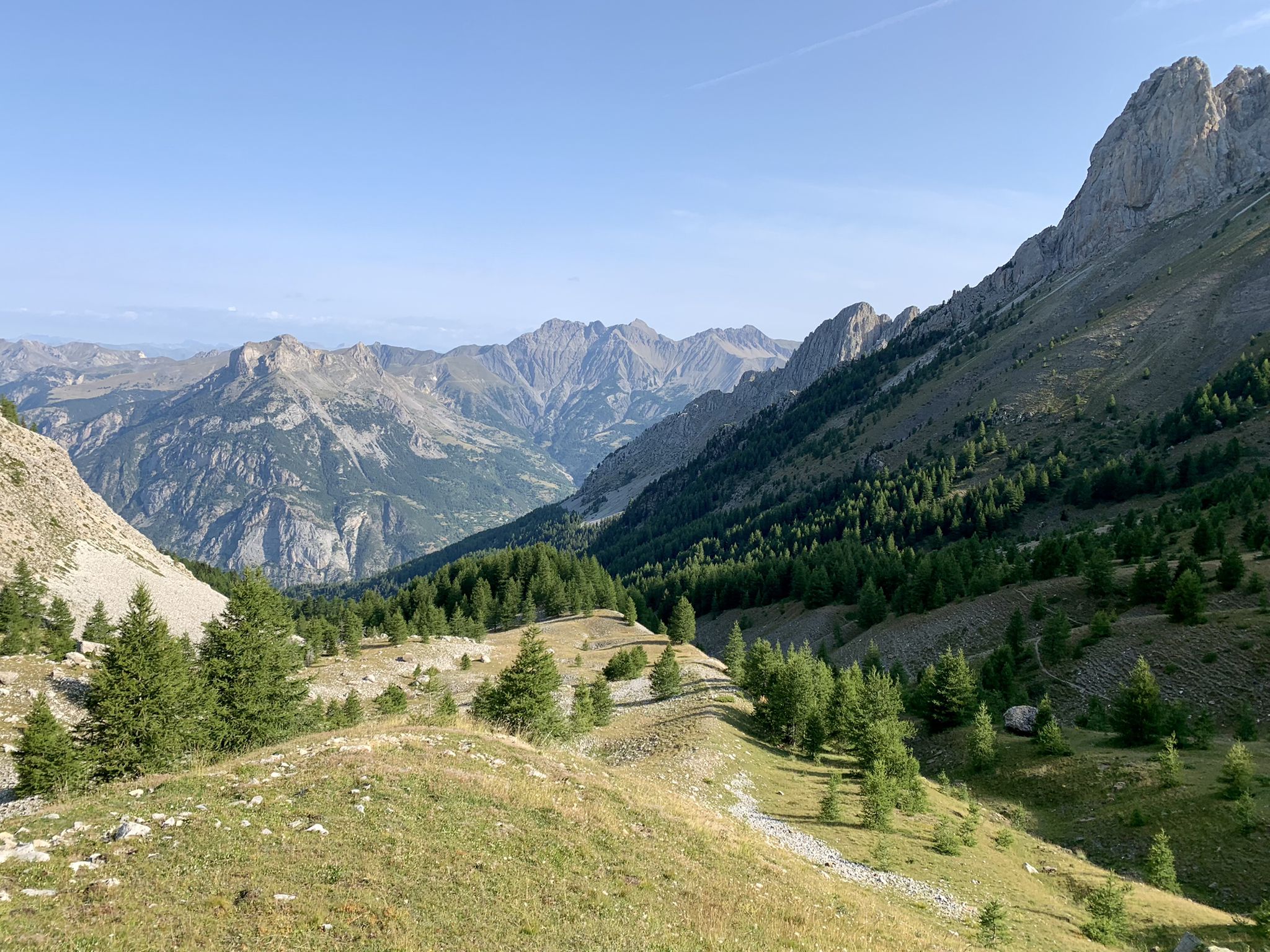
From the Alps to the Atlantic — GR 6
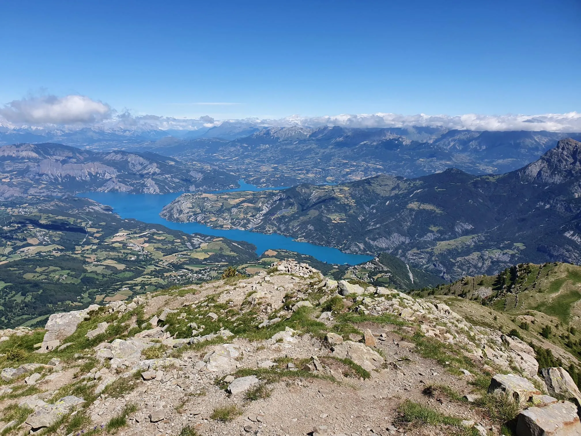
10 geological hikes in the Alpes-de-Haute-Provence – Cradle of the Geoparks
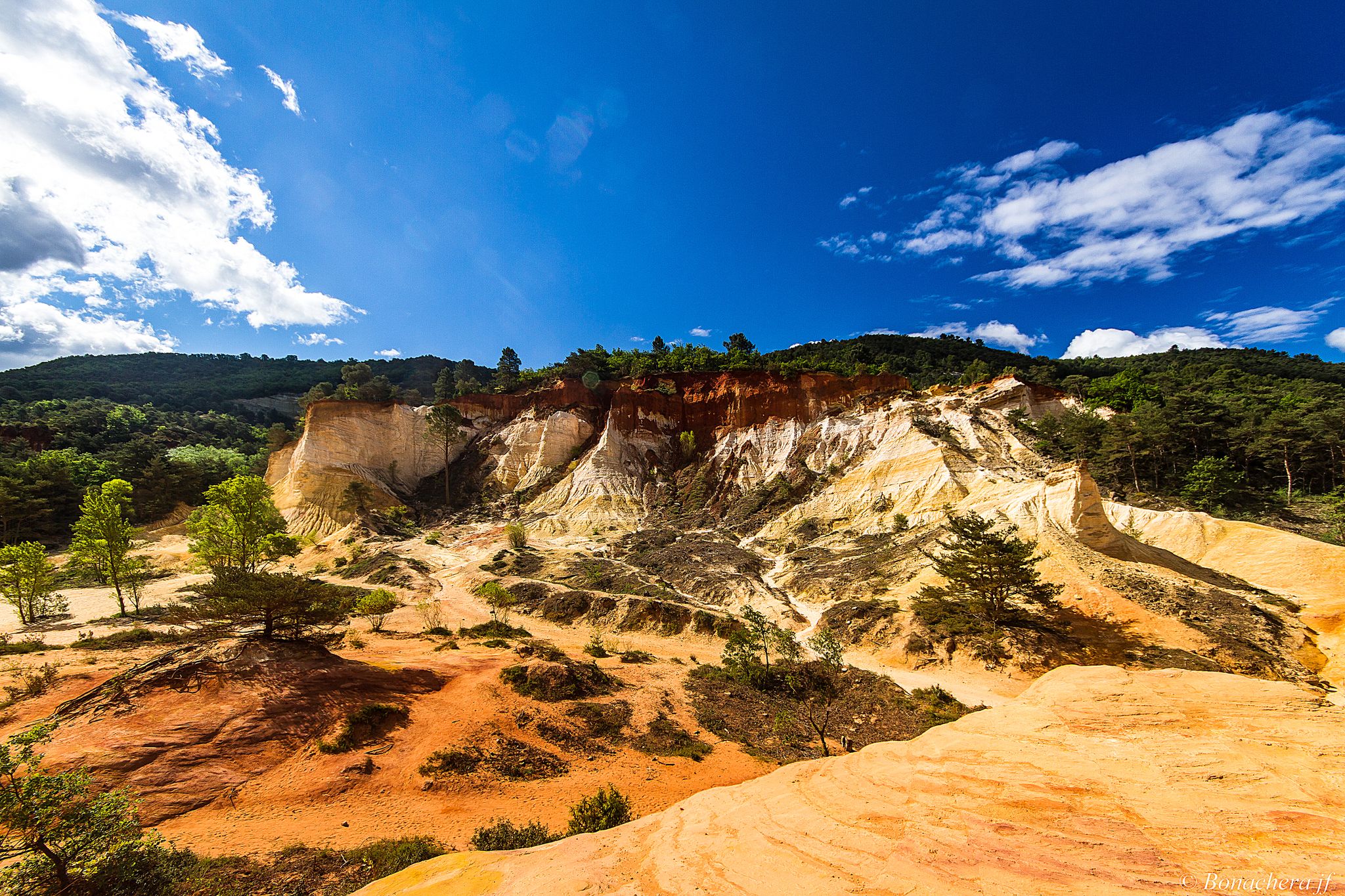
Through the Provencal mountains - Tour du Luberon (GR 97)

Naples to North Cape — Two friends, one purpose and many scoops of ice-cream
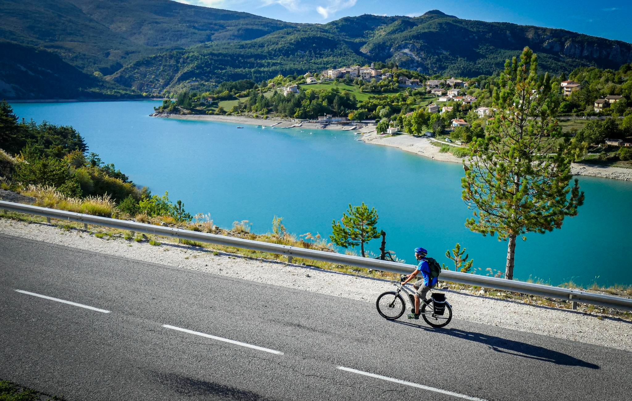
P'tites Routes du Soleil (Little Routes of the Sun)
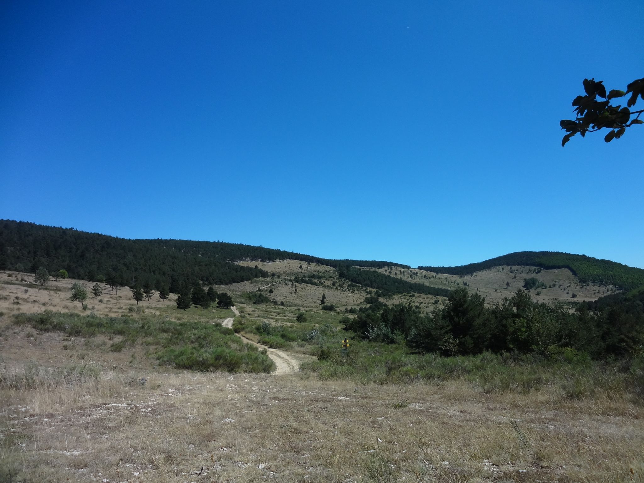
A French literary adventure in Provence – Giono country by bike

Exploring France’s Luberon Regional Natural Park by bike
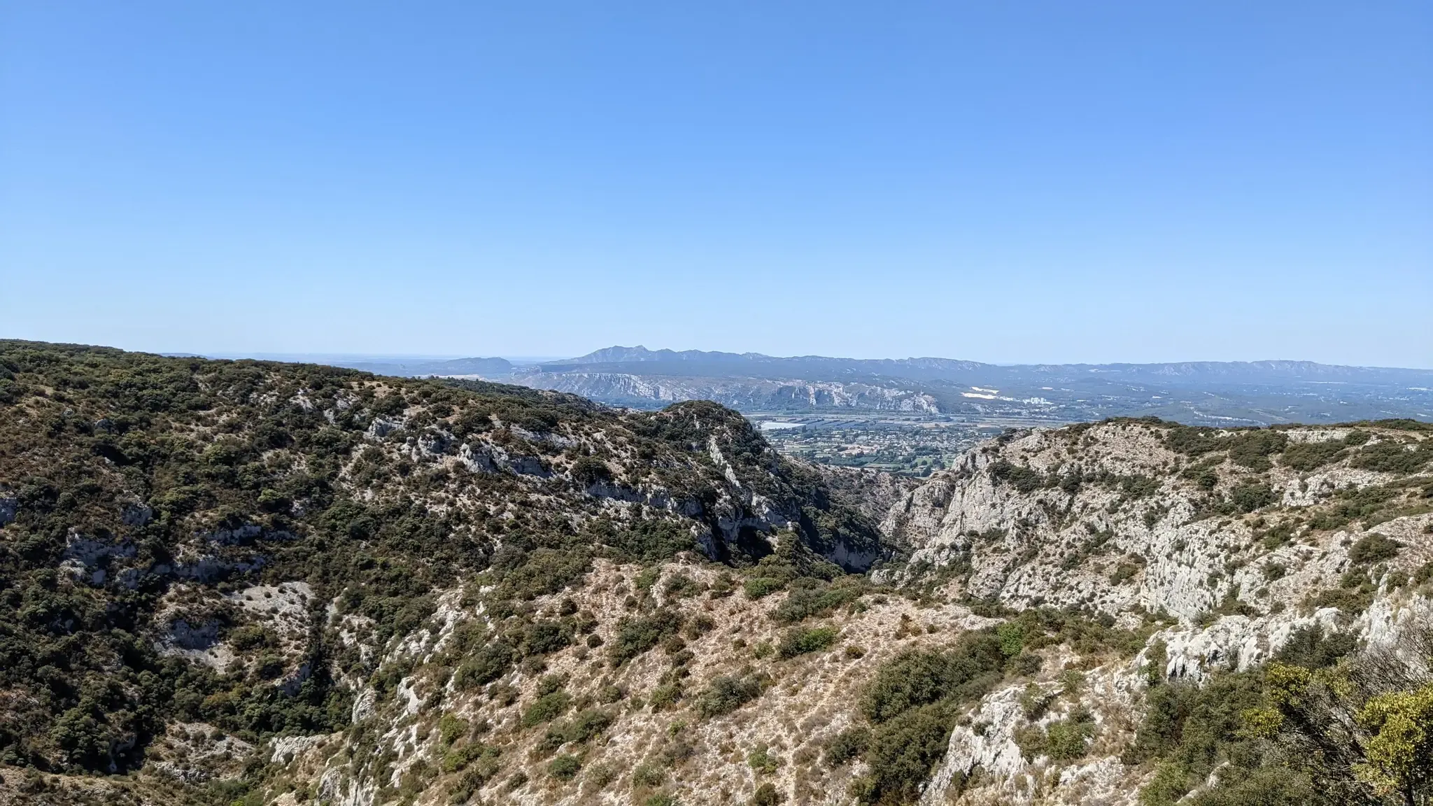
Fastpacking Provençal – crossing Lubéron
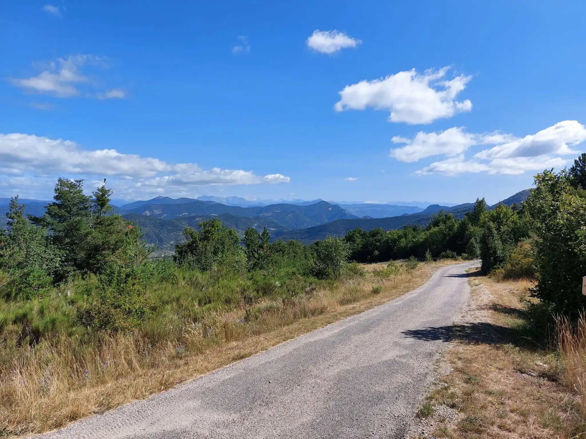
P'tites Routes du Soleil – crossing the pre-Alps from Lake Geneva to Nice
Other adventures around Forcalquier


Tips from the Community


impressive from below. The tunnel, however, hides part of the view
0
0

Magnificent citadel facing the Rocher de la Baume. The coffee break in Sisteron is very pleasant.
0
0

Great view over the fortress, town and rock.
1
0

Stunning views of Sisteron
0
2

Small parts where climbing is needed. A harness is not needed with some experience.
1
0
Spectacular view of the ancient citadel
1
1

Not easy to reach and there is also a difficult vertical section after that - but it's worth it 👍
3
0
Frequently Asked Questions
How many hiking trails are accessible from bus stations around Forcalquier?
There are over 200 hiking trails in the Forcalquier region that can be accessed via public transport, offering a wide variety of options for all skill levels. These routes allow you to explore the diverse landscapes of Provence without needing a car.
What is the best time of year to go hiking in Forcalquier using public transport?
The ideal seasons for hiking in Forcalquier are spring (April to June) and fall (September to October). During these months, temperatures are mild, and the landscapes are particularly beautiful, making for pleasant walks from bus-accessible trailheads.
Are there any easy, family-friendly hikes accessible directly from the Forcalquier bus station?
Yes, there are several easy, family-friendly options. For example, the Saint-Marc Chapel – Forcalquier loop from Forcalquier is an easy 6.4 km route that starts and ends conveniently in Forcalquier, perfect for a leisurely family outing. Many trails are within walking distance of the town center, which is well-served by buses.
Can I bring my dog on the bus-accessible hiking trails in Forcalquier?
Many trails in the Forcalquier region are dog-friendly, but it's always recommended to keep your dog on a leash, especially in nature reserves or near livestock. Public transport rules regarding pets can vary, so check with the specific bus operator (e.g., Zou! LER lines) before planning your trip with your furry companion.
What unique natural features can I explore on hikes accessible by bus near Forcalquier?
One of the most distinctive natural features is Les Mourres, a unique geological site with fascinating limestone formations resembling 'mushroom-shaped rocks.' You can experience this on the Forcalquier – Mourres Rocks loop from Forcalquier, a moderate 12.8 km hike that starts from Forcalquier, making it accessible via bus. The dramatic Oppedette Gorge also offers stunning views and can be reached via routes like the Oppedette – Oppedette Gorge loop from Oppedette.
Are there any circular hiking routes that start and end at bus stops in the Forcalquier area?
Yes, many of the trails in the region are designed as circular routes, allowing for convenient return to your starting point, often a bus stop. Examples include the Saint-Marc Chapel – Forcalquier loop and the Forcalquier – Mourres Rocks loop, both starting directly from Forcalquier, a central bus hub.
What do other hikers enjoy most about the bus-accessible trails around Forcalquier?
The komoot community highly rates the hiking experience in Forcalquier, with an average score of 4.5 stars. Hikers frequently praise the diverse landscapes, from rolling hills to unique geological formations, and the well-marked paths that make navigation easy. The convenience of accessing these trails via public transport is also a significant highlight for many.
Are there any specific bus routes that serve popular hiking trailheads outside of Forcalquier town center?
Yes, the regional bus network, particularly the Zou! LER lines (such as LER 22, LER 25, and 04), connects Forcalquier to various villages and points of interest that serve as trailheads. While specific stops for individual trails vary, these lines can take you to areas like Oppedette or Sisteron, where you can find routes like the Le Trou d'Argent – Summit with panoramic view loop from Sisteron.
What kind of terrain and difficulty levels can I expect on these bus-accessible hikes?
The trails around Forcalquier offer a range of terrain, from gentle paths through lavender fields to more rugged ascents in the Lure Mountain foothills and dramatic gorges. You'll find a good mix of difficulty levels: approximately 71 easy routes, 99 moderate routes, and 39 difficult routes, ensuring options for every hiker, all reachable by public transport.
Are there any historical landmarks or viewpoints along the bus-accessible hiking trails?
Absolutely. Many trails incorporate historical elements. The ascent to the Citadel Hill in Forcalquier, where the Notre-Dame-de-Provence chapel stands, offers magnificent panoramic views over the town and the Provençal landscape. You can also find historical dry stone huts (bories) scattered throughout the natural environment. For stunning vistas, consider routes that lead to viewpoints like View of Sisteron and the Rocher de la Baume or Montagne de Lure Pass.
Are permits required for hiking on trails accessible by bus in the Forcalquier region?
Generally, no specific permits are required for hiking on the public trails in the Forcalquier region. However, always respect local regulations, especially within natural parks or protected areas, and stay on marked paths to preserve the environment.
Are there cafes or restaurants near the starting points of bus-accessible hikes in Forcalquier?
Yes, Forcalquier town center, being a primary bus hub, offers numerous cafes and restaurants where you can grab a bite before or after your hike. Many of the trails start within or very close to the town, making it convenient to access amenities. For routes starting in smaller villages, it's advisable to check local opening hours in advance.
Most popular routes around Forcalquier
Most popular attractions around Forcalquier

Get inspired with the komoot mobile app


Explore more
Browse the best Hikes in other regions.
