The best waterfall hikes and walks around Forcalquier
4.5
(5127)
32,870
hikers
2
hikes
Waterfall hiking trails around Forcalquier traverse a landscape characterized by rolling hills, limestone formations, and diverse natural features in the heart of Haute-Provence. The region is situated between the Lure Mountains and the Luberon National Park, offering varied terrain from rocky outcrops to lush valleys. Hikers can explore areas shaped by ancient geological processes, such as the Mourres de Forcalquier, which feature unique eroded rock formations. The Durance River also contributes to the area's hydrology, supporting various flora and fauna.
…Last updated: June 23, 2026
4.3
(23)
107
hikers
8.00km
02:33
320m
320m
Moderate hike. Good fitness required. Easily-accessible paths. Suitable for all skill levels.
4.0
(24)
112
hikers
Moderate hike. Great for any fitness level. Mostly accessible paths. Sure-footedness required.

Sign up for free
3.9
(22)
97
hikers
Moderate hike. Good fitness required. Easily-accessible paths. Suitable for all skill levels.
4.6
(5)
45
hikers
18.2km
06:50
920m
920m
Hard hike. Very good fitness required. Sure-footedness, sturdy shoes and alpine experience required.
4.6
(14)
76
hikers
Moderate hike. Good fitness required. Mostly accessible paths. Sure-footedness required.
Our route recommendations are based on thousands of hikes, rides, and runs completed by other people on komoot.
Start today with a free account
Your next adventure awaits.
Login or Signup
Popular around Forcalquier
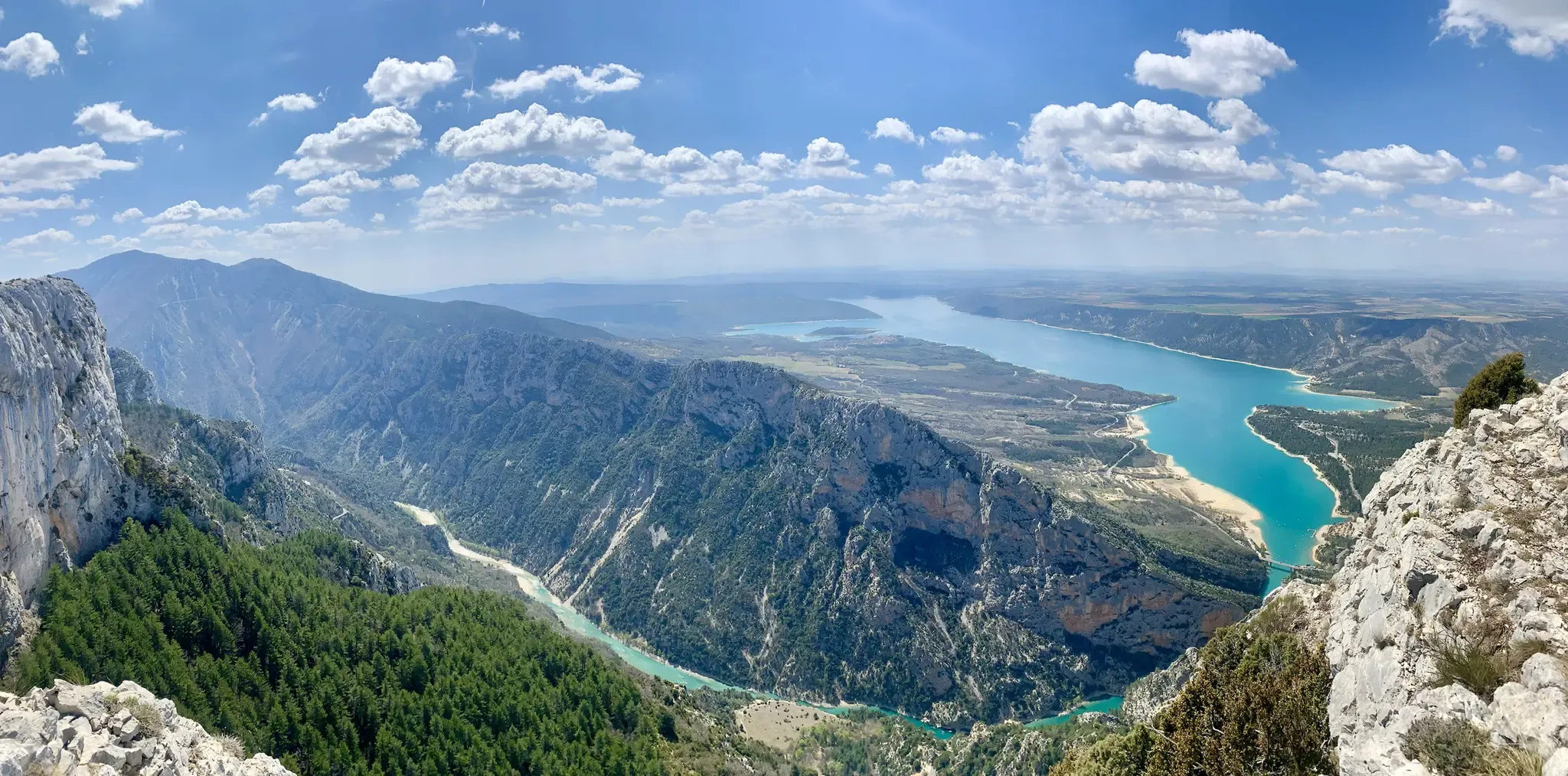
GR 4 – Crossing the south of France from Atlantic Coast to Provence
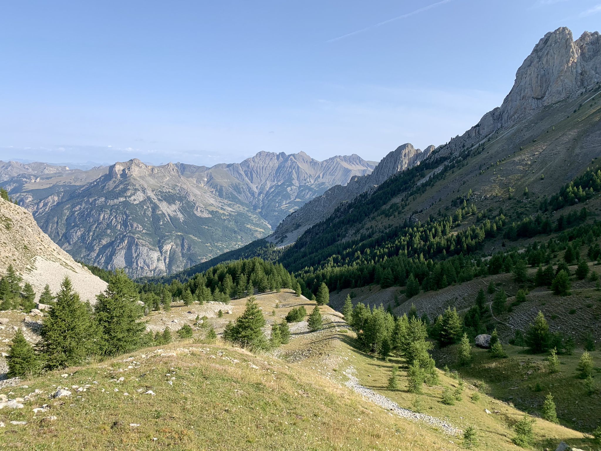
From the Alps to the Atlantic — GR 6
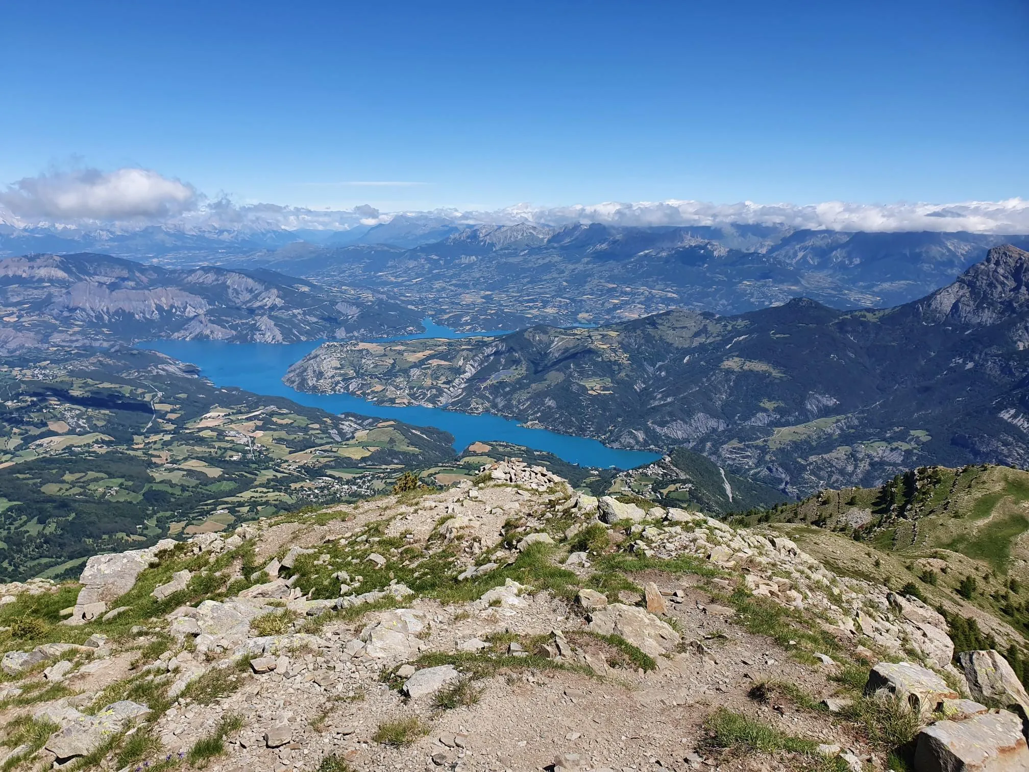
10 geological hikes in the Alpes-de-Haute-Provence – Cradle of the Geoparks
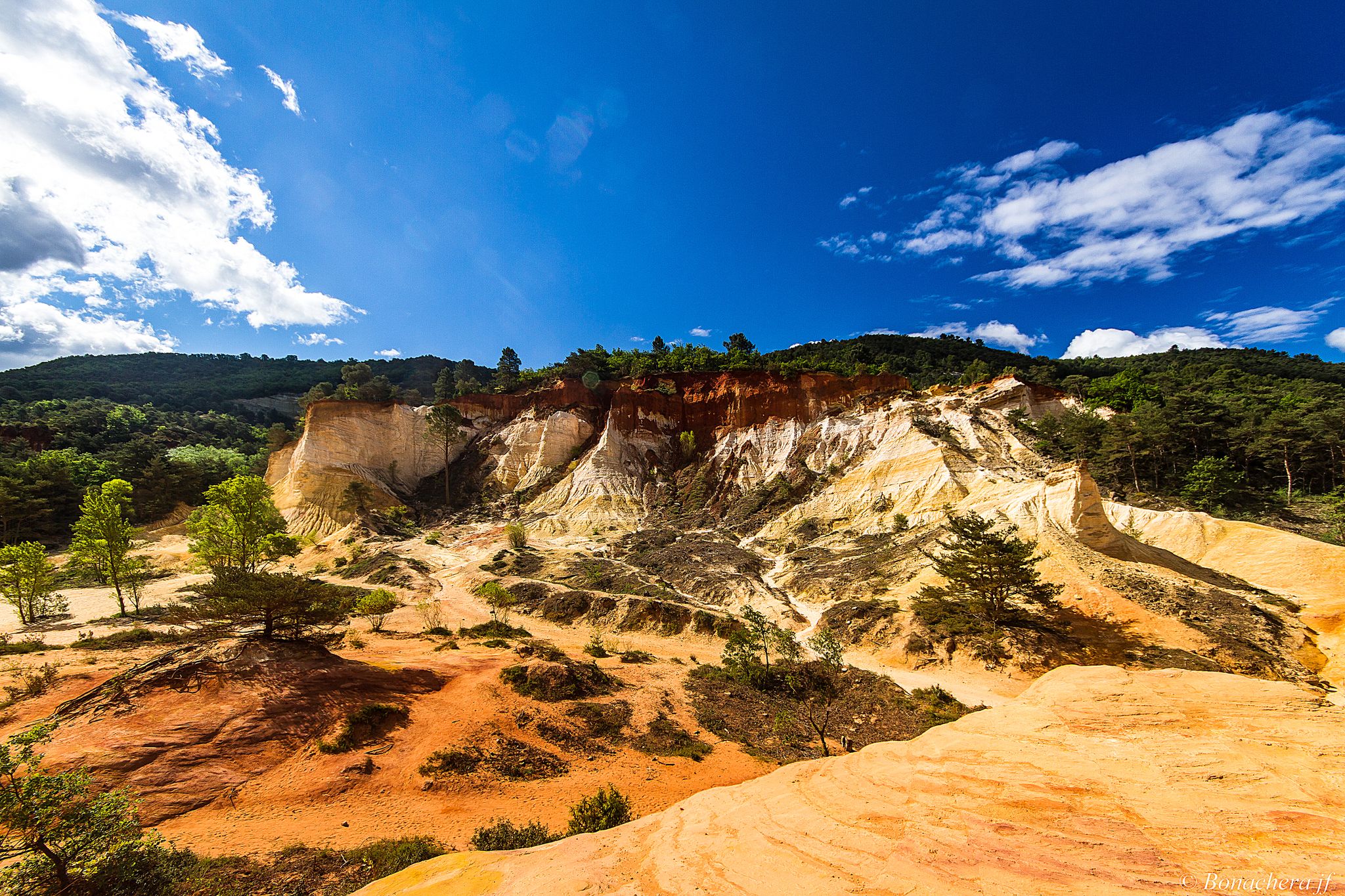
Through the Provencal mountains - Tour du Luberon (GR 97)

Naples to North Cape — Two friends, one purpose and many scoops of ice-cream
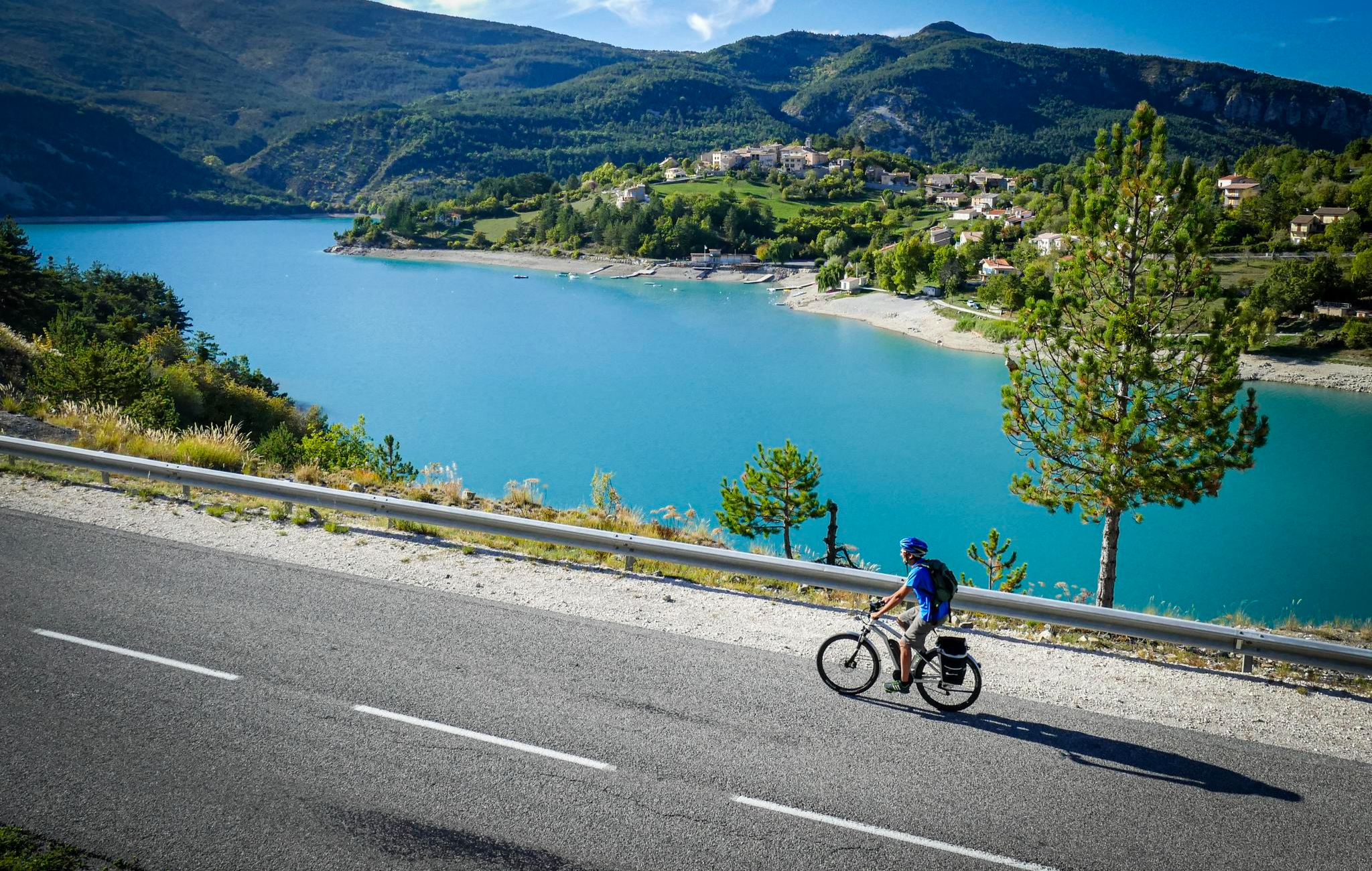
P'tites Routes du Soleil (Little Routes of the Sun)
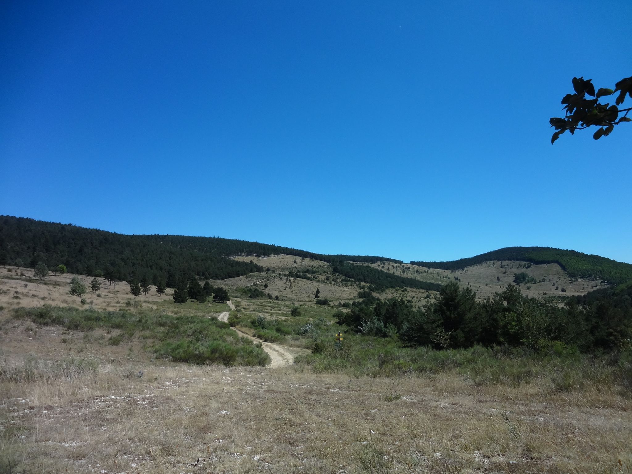
A French literary adventure in Provence – Giono country by bike

Exploring France’s Luberon Regional Natural Park by bike
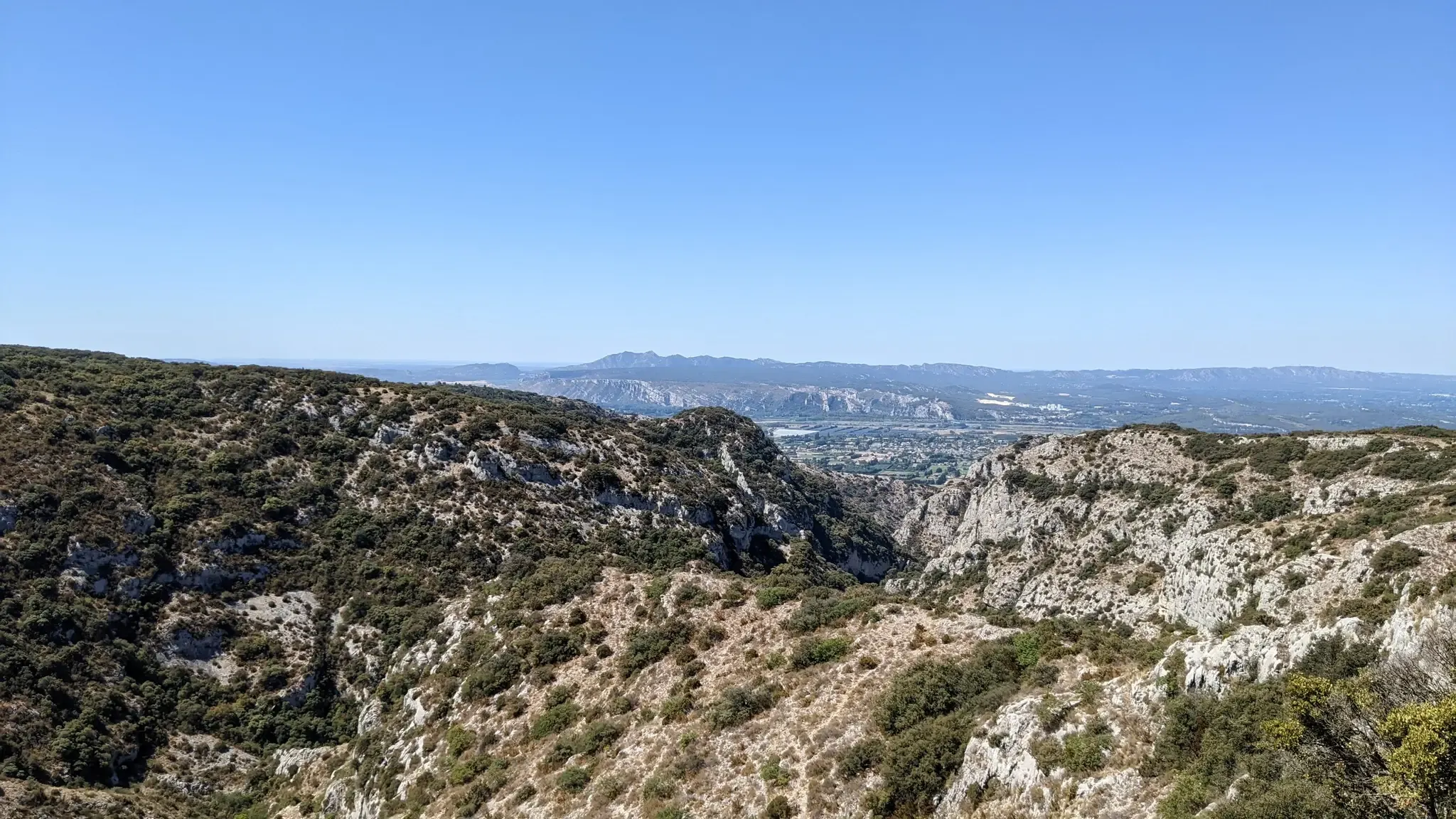
Fastpacking Provençal – crossing Lubéron
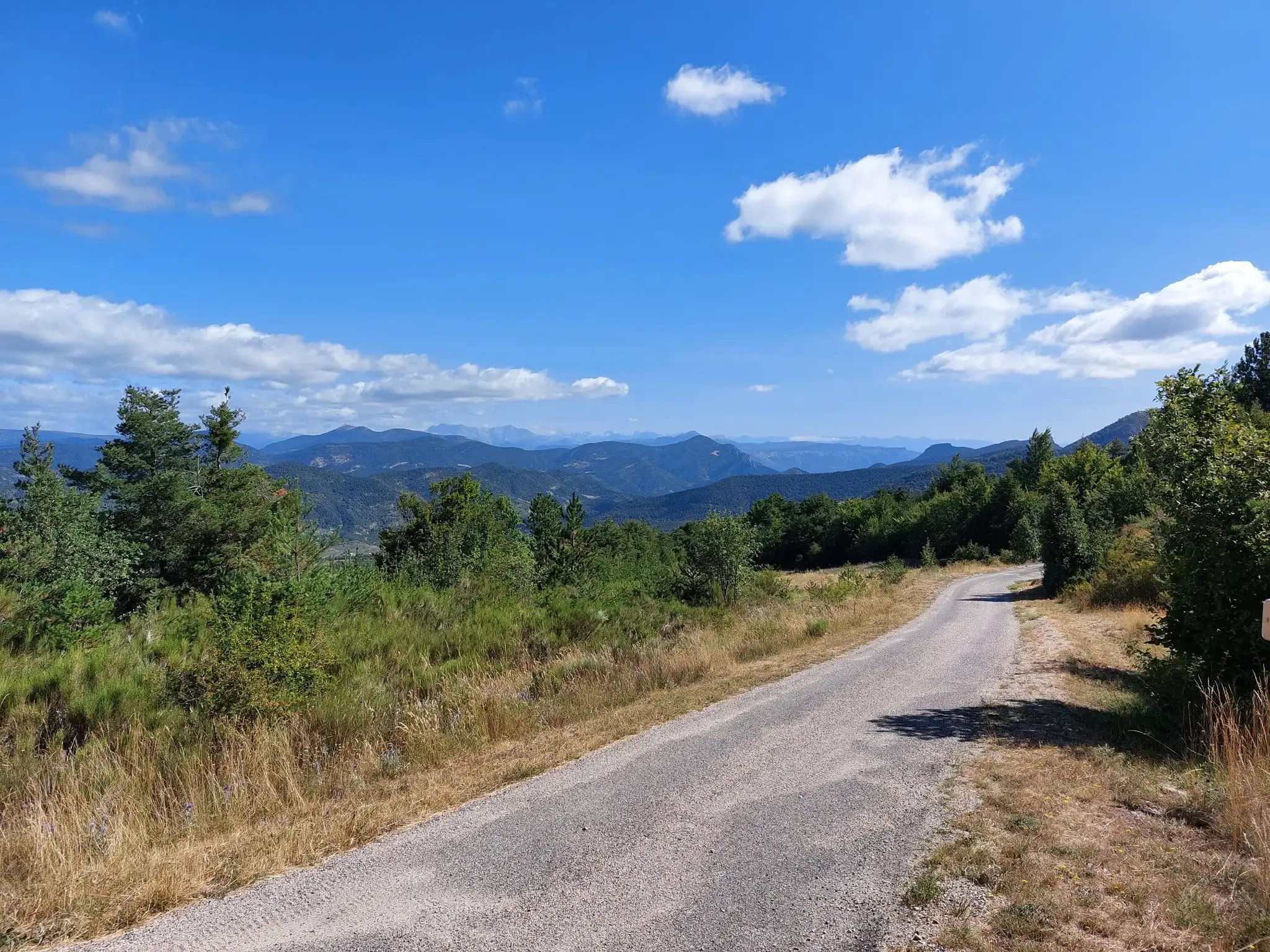
P'tites Routes du Soleil – crossing the pre-Alps from Lake Geneva to Nice
Other adventures around Forcalquier


Tips from the Community


With its 2,016 meters this pass offers a magnificent balcony over the surrounding peaks, such as the peaks of Dévoluy.
0
0

From here we have magnificent views of the Serre-Ponçon lake and the dam! It's worth the climb!
1
0
Beautiful waterfall and magnificent panorama! Easy access.
0
0
The Montagne de Céüse culminates at an altitude of 2,016m. It is included in the Natura 2000 protected area. Some of the most extreme climbing routes in the world are found on the cliffs of the mountain. From the top there is an exceptional view.
0
1

Magnificent / Free access / Parking nearby
0
1
Frequently Asked Questions
What kind of waterfall hiking trails can I find around Forcalquier?
The Forcalquier region, nestled between the Lure Mountains and the Luberon National Park, offers a variety of waterfall hiking experiences. You'll find trails leading to notable natural features like the Saut de la Pie Waterfall and the Saut de Rolland, often traversing diverse terrain from limestone formations to lush valleys. These routes range from moderate to more challenging, providing options for different skill levels.
Are there any family-friendly waterfall hikes in the Forcalquier area?
While specific 'easy' waterfall routes for very young children aren't explicitly detailed, many of the moderate trails can be enjoyed by families with older children accustomed to hiking. For example, the Saut de la Pie Waterfall loop from Barles is a moderate 8.8 km trail that takes under 3 hours, offering a rewarding destination without extreme difficulty. Always check the specific route details for elevation and terrain to ensure it suits your family's abilities.
What is the best time of year to visit the waterfalls near Forcalquier?
The best time to experience the waterfalls around Forcalquier is typically during spring (April to June) when snowmelt from the Lure Mountains and spring rains ensure a strong water flow, making the cascades particularly impressive. Autumn can also be beautiful with vibrant foliage, though water levels might be lower. Summers can be hot and drier, potentially reducing the flow, but still offer pleasant hiking conditions.
Are there any circular waterfall hiking routes available?
Yes, several waterfall hikes in the region are designed as loops, allowing you to start and end at the same point. A popular option is the Saut de la Pie Waterfall loop from Barles, a moderate 8.8 km trail. Another is the Rolland's Leap – View of Lac de Serre-Ponçon loop from Rousset-Serre-Ponçon, which is 8.0 km and also moderate.
What other natural attractions can I explore near the waterfall trails?
Beyond the waterfalls, the Forcalquier region is rich in natural wonders. You can explore the unique geological formations of The Mourres Rocks, often described as a 'lunar landscape.' The area also features stunning viewpoints like View of Sisteron and the Rocher de la Baume, and beautiful forests such as the Pélicier State Forest. The Oppedette Gorge also offers dramatic scenery.
What do other hikers enjoy most about the waterfall trails around Forcalquier?
The hiking trails around Forcalquier are highly rated by the komoot community, with an average score of 4.5 stars from over 1500 reviews. Hikers often praise the diverse landscapes, the unique geological features like the Mourres, and the rewarding views at destinations such as the Saut de la Pie Waterfall and Saut de Rolland. The blend of natural beauty and varied terrain makes for a memorable outdoor experience.
Are there any challenging waterfall hikes for experienced hikers?
Yes, for those seeking a more strenuous adventure, there are longer and more challenging routes that incorporate significant elevation gain. For example, the Demoiselles Coiffées de Pontis – Rolland's Leap loop from Rousset-Serre-Ponçon is a difficult 22.5 km trail with over 1000 meters of ascent, offering a demanding yet rewarding experience with views of Rolland's Leap.
Can I bring my dog on the waterfall hiking trails?
Many trails in the Forcalquier region are dog-friendly, but it's always advisable to check local regulations for specific areas, especially within protected natural parks or reserves. Generally, dogs are welcome on leash, allowing them to enjoy the natural environment alongside you. Ensure your dog is capable of handling the trail's distance and terrain.
What should I wear or bring for a waterfall hike in Forcalquier?
For waterfall hikes in Forcalquier, it's recommended to wear sturdy hiking boots suitable for varied terrain, as paths can be rocky or uneven. Layered clothing is advisable to adapt to changing weather conditions, especially in the mountains. Don't forget essentials like water, snacks, sun protection (hat, sunscreen), and a map or GPS device. Depending on the season, a light rain jacket might also be useful.
Are there any specific permits required for hiking to waterfalls in this region?
Generally, no specific permits are required for day hiking on the established trails to waterfalls around Forcalquier. However, always respect private property and any posted signs. If you plan to visit specific protected areas or nature reserves, it's good practice to check with the local tourist office or park authority for any specific rules or restrictions that might apply.
How long do the waterfall hikes typically take?
The duration of waterfall hikes varies depending on the route's length and difficulty. Moderate trails like the Saut de la Pie Waterfall loop (8.8 km) typically take around 2 hours 47 minutes. Longer, more challenging routes, such as the Demoiselles Coiffées de Pontis – Rolland's Leap loop (22.5 km), can take upwards of 7 hours 30 minutes. Always factor in your own pace and planned stops.
Are there opportunities for wild swimming near the waterfalls?
While the allure of cooling off near waterfalls is strong, specific designated wild swimming spots directly at the waterfalls are not commonly promoted due to safety and environmental concerns. The Durance River, which flows through the region, offers various points for water activities, but always exercise caution and respect local regulations regarding swimming in natural bodies of water.
Most popular routes around Forcalquier
Most popular attractions around Forcalquier

Get inspired with the komoot mobile app


Explore more
Browse the best Hikes in other regions.
