The best traffic-free bike rides around Bolbaite
4.6
(6)
456
riders
5
rides
No traffic road cycling routes around Bolbaite traverse a diverse landscape within the Canal de Navarrés, characterized by river systems, valleys, and mountain ranges. The region features the Sellent River, which carves through ravines and creates natural pools, alongside elevated viewpoints offering panoramic vistas. Road cyclists can expect varied terrain, from routes following river courses to paths ascending hills and mountain areas, providing a blend of natural beauty and engaging rides.
Best no traffic road cycling routes around Bolbaite
- The…
Last updated: July 2, 2026
116
riders
51.8km
02:36
550m
550m
Moderate road ride. Good fitness required. Mostly well-paved surfaces and easy to ride.
19
riders
56.4km
02:55
740m
740m
Moderate road ride. Good fitness required. Mostly well-paved surfaces and easy to ride.

Sign up for free
5.0
(1)
5
riders
78.2km
06:02
1,250m
1,250m
Hard road ride. Very good fitness required. Some segments of this route may be unpaved and difficult to ride.
7
riders
51.2km
02:54
650m
650m
Moderate road ride. Good fitness required. Some segments of this route may be unpaved and difficult to ride.
3
riders
71.4km
04:35
830m
830m
Moderate road ride. Good fitness required. Some segments of this route may be unpaved and difficult to ride.
Our route recommendations are based on thousands of hikes, rides, and runs completed by other people on komoot.
Start today with a free account
Your next adventure awaits.
Login or Signup


Other adventures around Bolbaite

Tips from the Community

Long route parallel to the Júcar-Túria transfer that serves as an artery for numerous routes through the regions of Horta and Ribera.
1
0

The climb has a good asphalt surface, without too much elevation change, and it is worth noting the existence of a detour via an unpaved road from kilometer 9.3 to Sumarcárcel, which we have discarded due to not knowing its condition, given the rains of the previous days.
1
0

Enjoy refreshing water in the adjacent pool. Open during the summer months. There's an entrance fee. See also: Anna Lagoon Lake | Anna City Council https://www.ayuntamientoanna.es/albufera-anna.
0
1

From Enguera, it's 14.8 km at 3.3% with a maximum gradient of 9%, reaching the summit at 654 (754 according to the sign) meters above sea level after a 488-meter climb. It's a secondary road with little traffic in good condition. However, there's no shade. The last 12.4 km are marked with typical mountain pass signs in the CV.
0
0
From Enguera, it's 14.8 km at 3.3% with a maximum gradient of 9%, reaching the summit at 654 meters above sea level after a 488-meter climb. It's a secondary road with little traffic in good condition. There's no shade, however. The last 12.4 km are marked with typical mountain pass signs in the CV.
0
0

The Salto del Chella, a route you can't miss
0
0

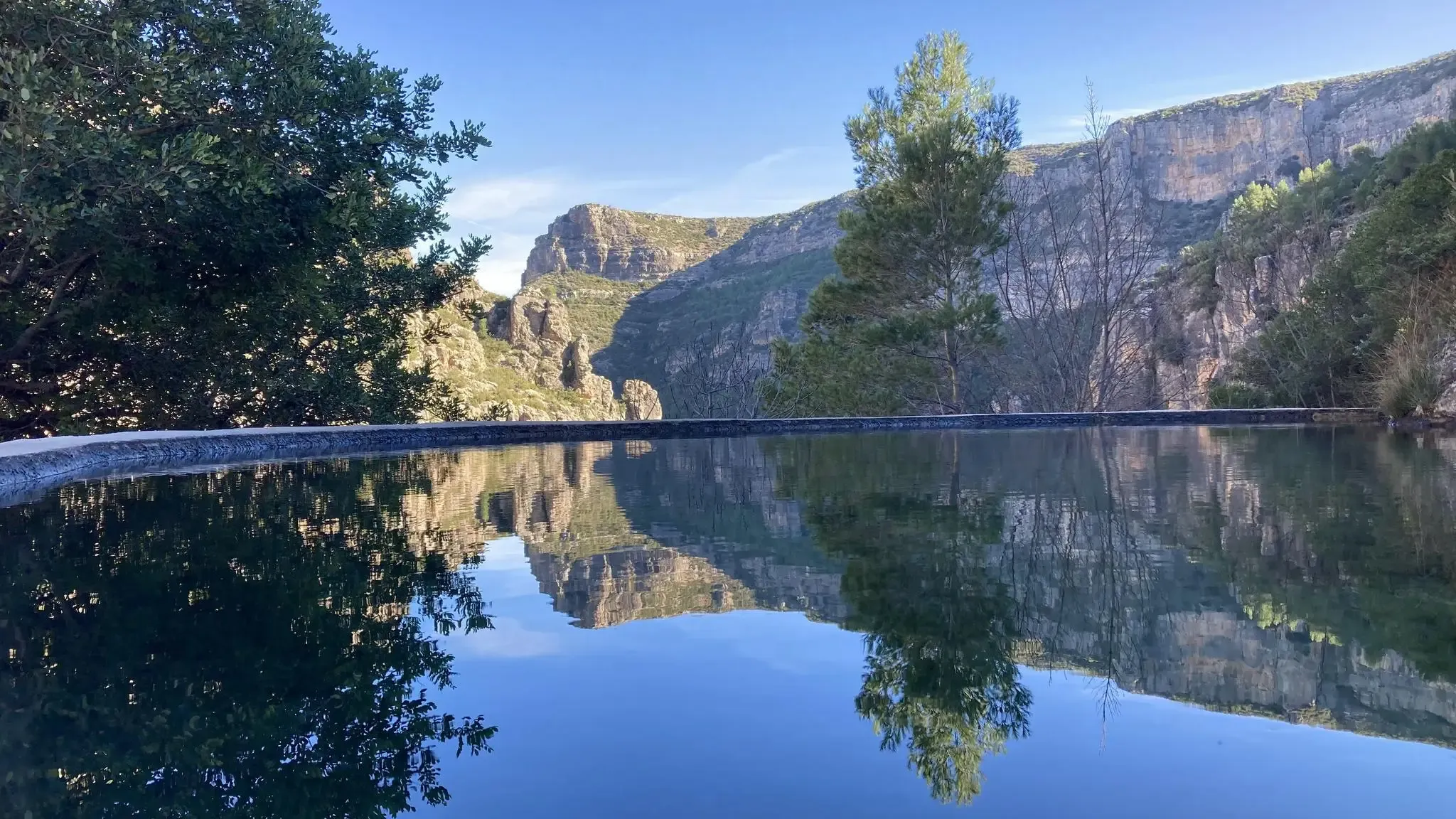
The Mirador del Salto de Chella is a stunning place in the Valencian Community, near the municipality of Chella. From this viewpoint, you can enjoy spectacular views of a 25-metre-high waterfall known as the Salto de Chella.
6
0
Frequently Asked Questions
How many no-traffic road cycling routes are available around Bolbaite?
There are 6 dedicated no-traffic road cycling routes around Bolbaite featured on komoot, offering a variety of distances and difficulty levels for a peaceful ride.
Are there any easy, traffic-free road cycling routes suitable for beginners or families?
Yes, for an easier ride, consider the Presa de Tous – Barranco de la Mañana loop from Sumacàrcer. This route is rated easy, covering approximately 33 km with minimal elevation gain, making it ideal for a relaxed cycling experience.
What kind of natural attractions can I expect to see along these routes?
The routes often pass through diverse landscapes shaped by the Sellent River. You can encounter stunning natural features such as the Vikings' Waterfall, the dramatic Gorgo de la Escalera gorge with its waterfall, and the serene Albufera de Anna lake. Many routes also offer panoramic views from elevated points like the El Salto de Chella Viewpoint.
Are there any circular no-traffic road cycling routes in the Bolbaite area?
Yes, most of the no-traffic road cycling routes around Bolbaite are circular. For example, the moderate Albufera de Anna – El Salto de Chella Viewpoint loop from Bolbaite offers a 52 km circular ride, allowing you to start and finish in the same location.
What is the best time of year for traffic-free road cycling in Bolbaite?
Bolbaite, with its Mediterranean climate, is generally pleasant for cycling during spring (March to May) and autumn (September to November). These seasons offer milder temperatures, making for more comfortable rides compared to the hotter summer months.
Are there any challenging no-traffic road cycling routes for experienced riders?
For experienced riders seeking a challenge, the Puerto Sumacárcer – Albufera de Anna loop from Antella is rated difficult. This route spans approximately 79 km and features significant elevation gain, providing a demanding yet rewarding experience.
Where can I park my car when starting a traffic-free road cycling route in Bolbaite?
While specific parking areas for each route are not detailed, Bolbaite and nearby towns like Sumacàrcer, Navarrés, and Antella (which serve as starting points for many routes) typically offer public parking options. It's advisable to check local parking availability upon arrival in your chosen starting village.
What do other cyclists say about the no-traffic road cycling experience in Bolbaite?
The komoot community rates the no-traffic road cycling routes around Bolbaite highly, with an average score of 4.5 out of 5 stars. Cyclists often praise the quiet roads, scenic natural beauty, and the opportunity to explore the region's unique landscapes without heavy vehicle traffic.
Can I find places to rest or have a picnic along the no-traffic routes?
The region around Bolbaite is known for its natural recreational areas, such as the Paraje del Río Sellent, which features picnic spots and fountains. While not every route will pass directly through these, the general area offers opportunities for rest and enjoying the natural surroundings.
Are there any routes that offer views of historical landmarks?
While the primary focus is natural beauty, some routes may offer glimpses of historical elements. The region is home to landmarks like the Los Cabanyelles Castle Palace and the Ermita de Santa Bárbara, which add a historical dimension to the landscape. The routes are designed to showcase the area's diverse scenery, often including views of these points of interest from a distance.
How long do the no-traffic road cycling routes typically take to complete?
The duration varies significantly by route and your cycling pace. For instance, an easy route like the Presa de Tous – Barranco de la Mañana loop might take around 1 hour 35 minutes, while a longer, moderate route such as the Puerto Sumacárcer – Views from the Tous Pass loop from Navarrés could take over 3 hours 40 minutes.
Most popular attractions around Bolbaite

Get inspired with the komoot mobile app


Explore more
Browse the best Road cycling routes in other regions.
