The best gravel rides around Bolbaite
4.0
(2)
11
riders
6
rides
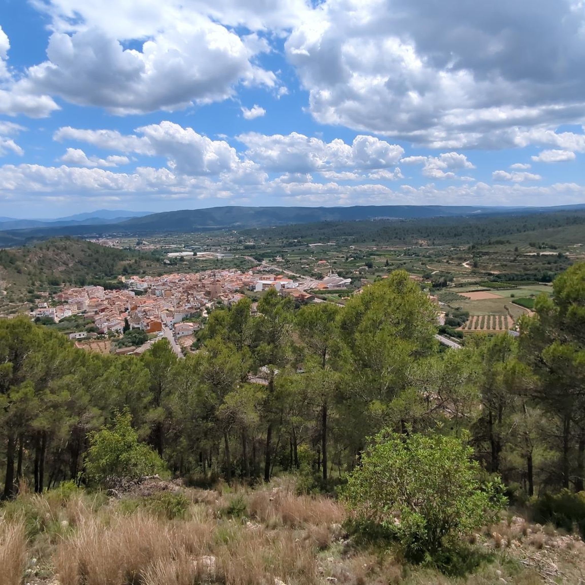
Gravel biking around Bolbaite offers routes through varied terrain, characterized by mountainous landscapes, dense pine forests, and agricultural valleys. The region features significant elevation changes, including routes ascending towards peaks like Caroche. Riders can expect a mix of unpaved roads, forest tracks, and some paved sections connecting natural areas. This area provides a challenging environment for gravel biking, with many routes featuring substantial climbs.
Best gravel bike trails around Bolbaite
- The most popular gravel bike trail is Circular gravel from…
Last updated: August 18, 2026
86.9km
07:08
1,840m
1,840m
Hard gravel ride. Very good fitness required. Mostly paved surfaces. Suitable for all skill levels.
5.0
(1)
4
riders
105km
08:09
2,230m
2,230m
Hard gravel ride. Very good fitness required. You may need to push your bike for some segments of this route.

Sign up for free
3
riders
64.1km
04:50
860m
860m
Hard gravel ride. Very good fitness required. Mostly paved surfaces. Suitable for all skill levels.
2
riders
41.8km
02:58
540m
540m
Hard gravel ride. Very good fitness required. Mostly paved surfaces. Suitable for all skill levels.
1
riders
37.1km
02:39
600m
600m
Hard gravel ride. Very good fitness required. Mostly paved surfaces. Suitable for all skill levels.
Our route recommendations are based on thousands of hikes, rides, and runs completed by other people on komoot.
Start today with a free account
Your next adventure awaits.
Login or Signup
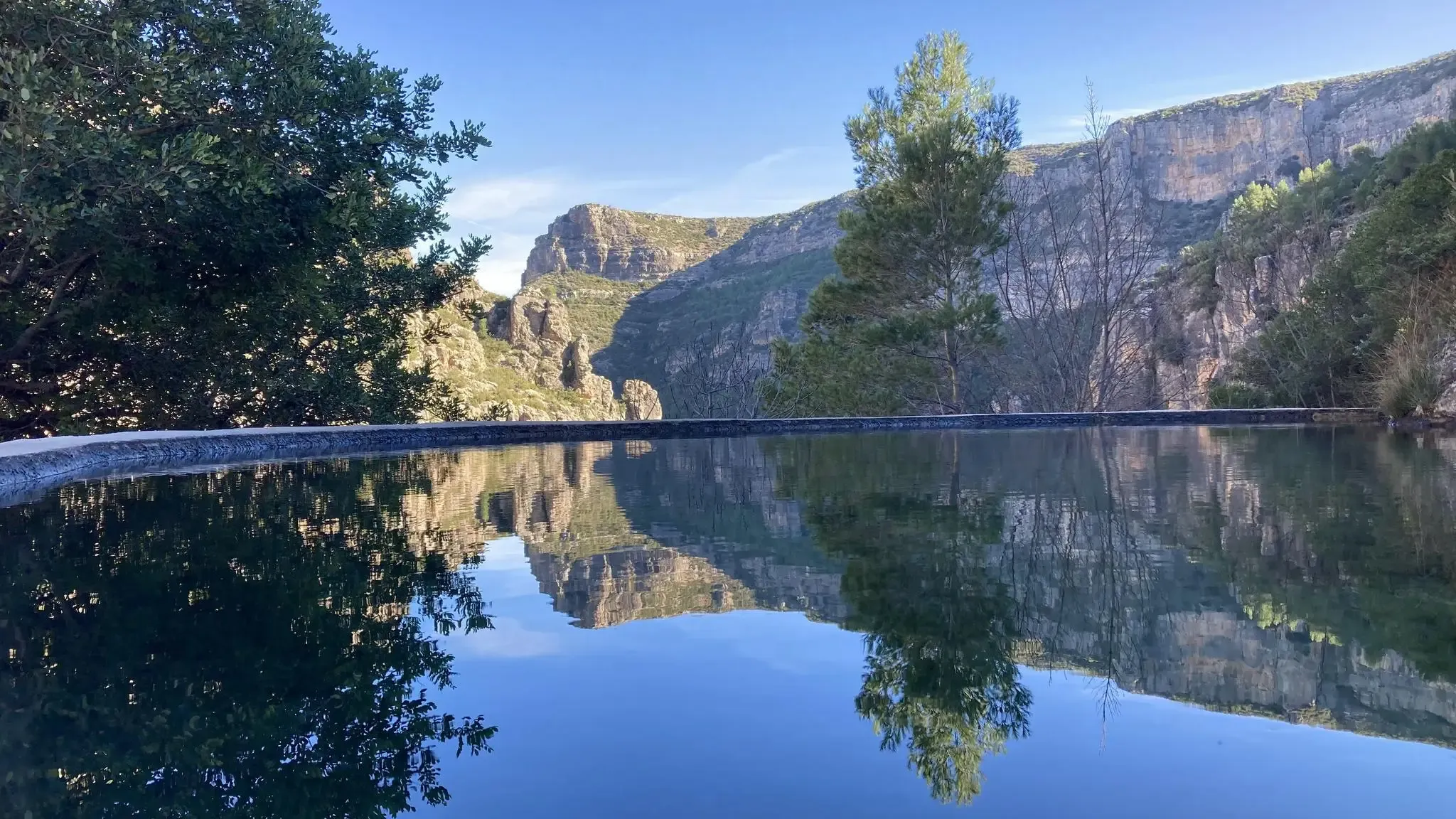
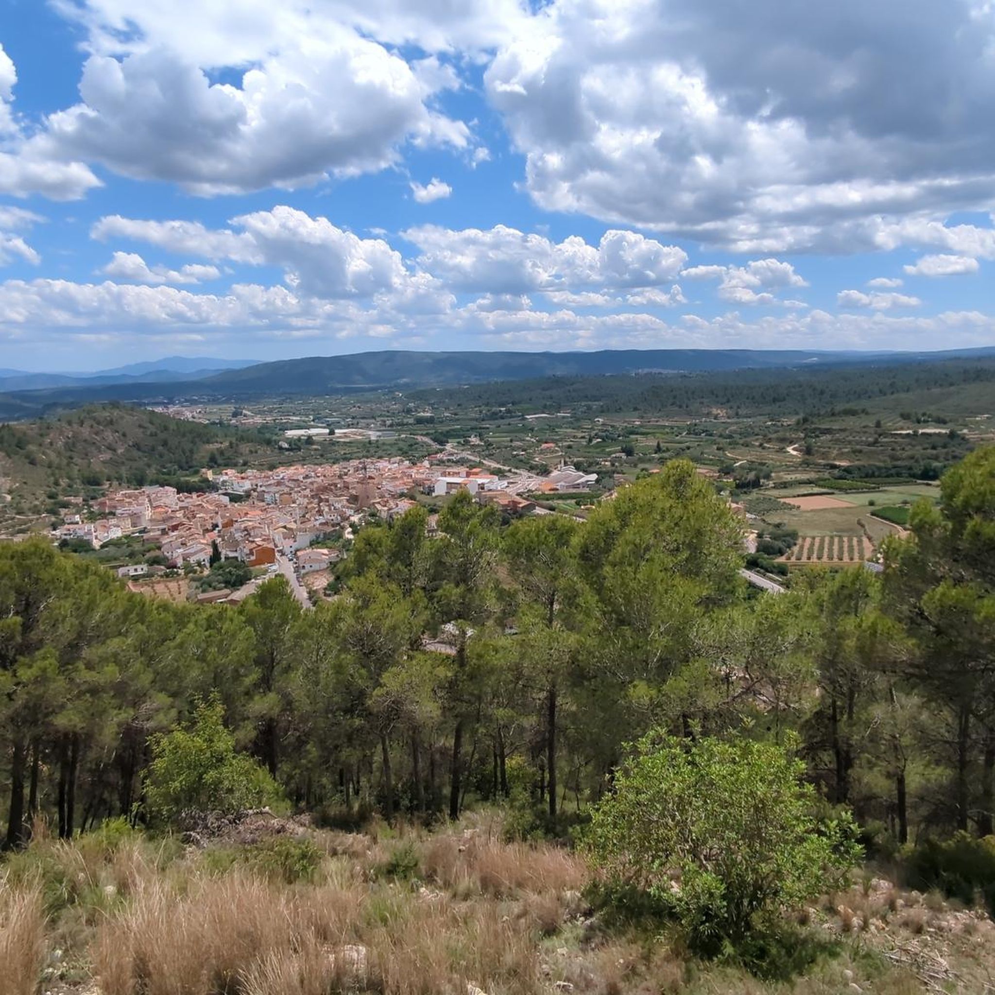
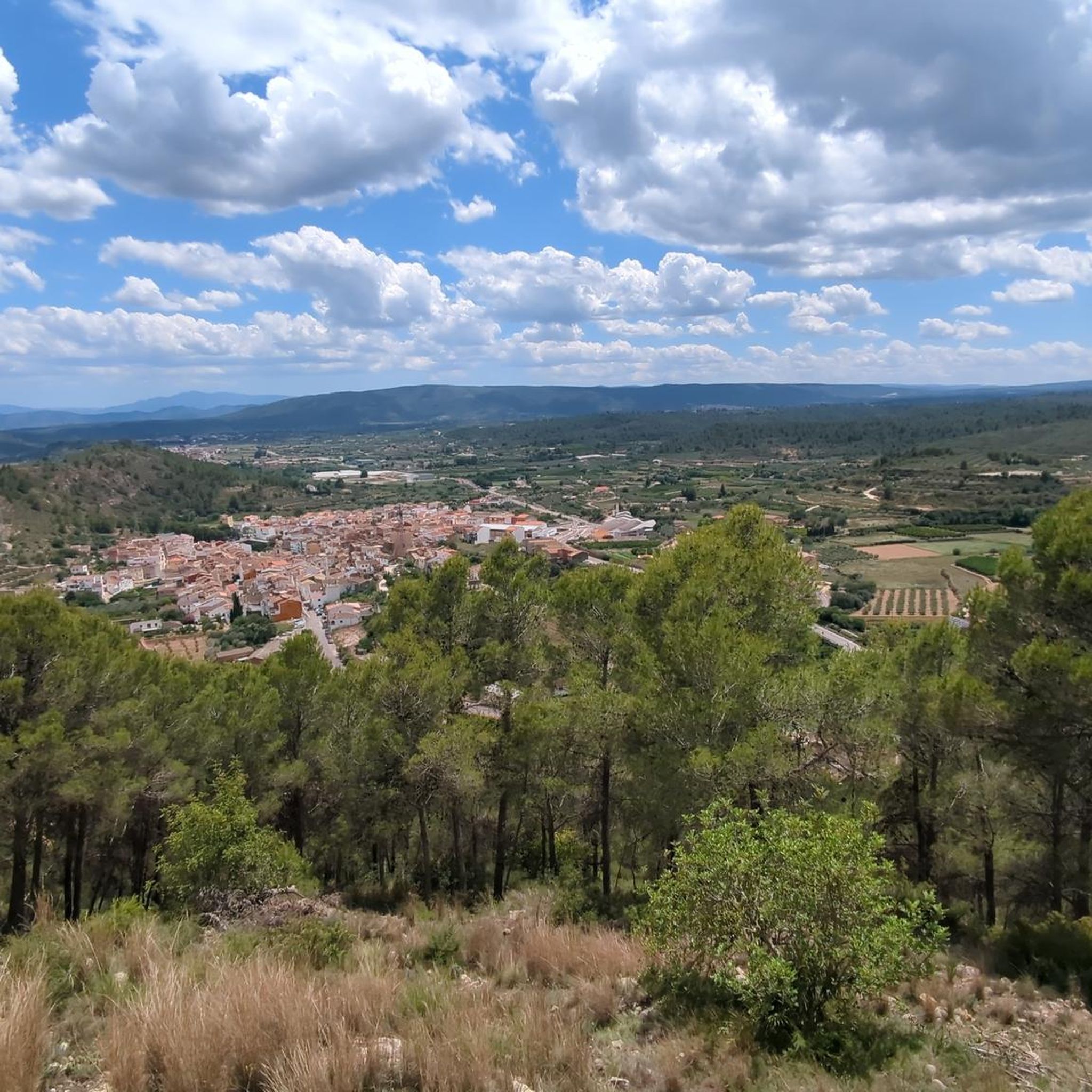
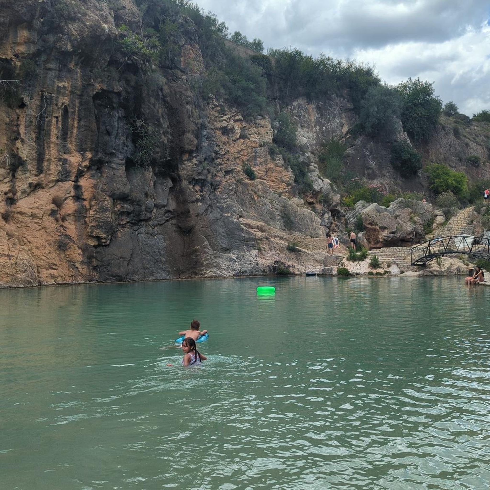
Other adventures around Bolbaite

Tips from the Community

After Benalí, the Río Grande trail begins. It's surrounded by nature at an altitude of 800 meters. A great spot to enjoy the views from this height.
0
0

From Enguera, it's 14.8 km at 3.3% with a maximum gradient of 9%, reaching the summit at 654 (754 according to the sign) meters above sea level after a 488-meter climb. It's a secondary road with little traffic in good condition. However, there's no shade. The last 12.4 km are marked with typical mountain pass signs in the CV.
0
0
From Enguera, it's 14.8 km at 3.3% with a maximum gradient of 9%, reaching the summit at 654 meters above sea level after a 488-meter climb. It's a secondary road with little traffic in good condition. There's no shade, however. The last 12.4 km are marked with typical mountain pass signs in the CV.
0
0


Crossroads. If you continue straight ahead you will find the paved road that goes up to Cinto la Cabra. If you turn left you will go up the Bayart ravine.
0
0
Spectacular views, although the climb from Cortes de Pallas along the Muela ridge is very tough.
0
0
Wow how beautiful! And the trip itself is what it's all about. What a beautiful rugged area.
2
0
Frequently Asked Questions
How many gravel bike trails are available around Bolbaite?
There are 8 gravel bike trails documented around Bolbaite on komoot. These routes primarily cater to experienced riders, with 7 classified as difficult and 1 as moderate.
What is the typical difficulty level for gravel biking in Bolbaite?
Gravel biking around Bolbaite is generally challenging, characterized by significant elevation changes and mountainous terrain. Most routes are classified as difficult, with only a few moderate options available for those seeking a less strenuous ride.
Are there any circular gravel bike routes in the Bolbaite area?
Yes, several routes are designed as loops. For example, the challenging Circular gravel from Quesa to Caroche Peak is a 54-mile loop with substantial elevation gain. Another extensive option is the Mortirolo of Quesa – El Caroche Summit loop from Quesa, offering panoramic views from El Caroche Summit.
What kind of landscapes can I expect on gravel bike trails near Bolbaite?
You'll experience a diverse mix of landscapes, including dense pine forests, agricultural valleys, and mountainous areas with significant elevation changes. Many routes ascend towards prominent peaks, offering expansive views of the region.
Are there any family-friendly or easy gravel bike trails suitable for beginners in Bolbaite?
The gravel bike trails around Bolbaite are predominantly challenging, with most routes classified as difficult. There are currently no easy routes listed, and only one moderate option. Beginners or families with young children might find these trails too demanding due to the significant climbs and varied terrain.
What are some notable natural attractions or viewpoints along the gravel routes?
The region is rich in natural beauty. You can find stunning spots like the Vikings' Waterfall and the Gorgo de la Escalera. For impressive vistas, consider routes that pass by the El Salto de Chella Viewpoint or ascend to El Caroche Summit.
Are there any wild swimming spots or lakes accessible from the gravel trails?
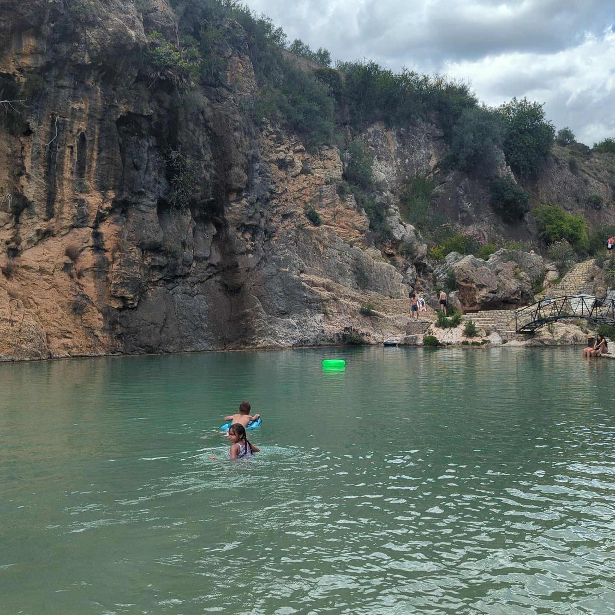
Yes, the area features several beautiful water bodies. The Albufera de Anna is a notable lake, and you can also find the Natural pool on the Sellent River in Bolbaite. The La Albufera de Anna – Albufera de Anna loop from Enguera route specifically takes you near this lake.
What is the best season for gravel biking in Bolbaite?
Given Bolbaite's Mediterranean climate, spring (April-May) and autumn (September-October) are generally the most pleasant seasons for gravel biking. Temperatures are milder, and the natural scenery is vibrant. Summer can be very hot, making early morning or late afternoon rides preferable, while winters are generally mild but can have cooler, wetter days.
Are there any routes that pass by historical sites or landmarks?
Yes, some routes connect natural areas with historical points of interest. For instance, the Montesa Castle – Enguera loop from La Umbría-La Plana offers a chance to see Montesa Castle, a significant historical landmark in the region.
What do other gravel bikers say about the trails in Bolbaite?
The gravel bike trails in Bolbaite are highly rated by the komoot community, with an average score of 3.7 stars from over 3 reviews. Riders often praise the challenging ascents, the extensive pine forests, and the rewarding panoramic views from the peaks.
How long do the gravel bike trails typically take to complete?
The duration varies significantly depending on the route's length and difficulty. Shorter, challenging routes like the Casa La Venta (Cañada Negra) – Fuente Loca loop from Navarrés, which is 26.9 miles, can take around 3 hours. Longer, more demanding routes, such as the 65.2-mile Mortirolo of Quesa – El Caroche Summit loop from Quesa, can take over 9 hours to complete.
Most popular attractions around Bolbaite

Get inspired with the komoot mobile app


Explore more
Browse the best Gravel rides in other regions.
