The best traffic-free bike rides around Arcos De Las Salinas
4.5
(4)
115
riders
16
rides
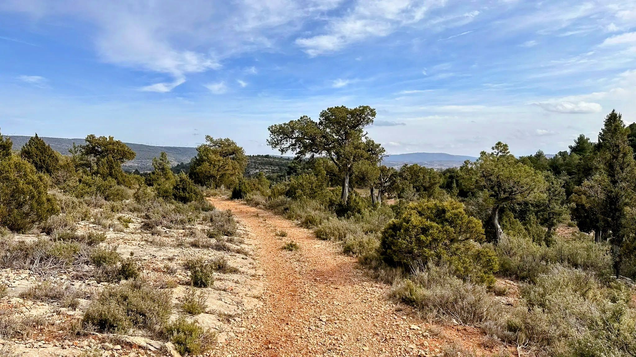
No traffic touring cycling routes around Arcos De Las Salinas traverse a region characterized by mountainous terrain, offering diverse landscapes for cyclists. The area features significant natural landmarks like Pico Javalambre, providing considerable altitude gains and scenic vistas. Cyclists encounter varied terrain, including both asphalted roads and unpaved sections, winding through forests, alongside rivers, and past unique rock formations. The landscape also includes young pine forests, pastures, and scrubland, enhancing the touring experience.
Best no traffic touring cycling routes around…
Last updated: July 2, 2026
2
riders
33.0km
03:39
960m
960m
Hard bike ride. Very good fitness required. Some segments of this route may be unpaved and difficult to ride.
40.3km
04:04
1,140m
1,130m
Hard bike ride. Very good fitness required. Mostly paved surfaces. Suitable for all skill levels.

Sign up for free
5.0
(1)
13
riders
91.3km
08:15
2,160m
2,160m
Hard bike ride. Very good fitness required. Mostly paved surfaces. Suitable for all skill levels.
5.0
(1)
7
riders
33.2km
03:46
1,040m
1,030m
Hard bike ride. Very good fitness required. Mostly paved surfaces. Suitable for all skill levels.
4
riders
35.4km
03:19
920m
920m
Hard bike ride. Very good fitness required. Mostly paved surfaces. Suitable for all skill levels.
Get access to more routes and recommendations from other explorers.
Sign up for free
Already have an account?
Our route recommendations are based on thousands of hikes, rides, and runs completed by other people on komoot.
Start today with a free account
Your next adventure awaits.
Login or Signup




Tips from the Community


La Puebla de Valverde is a Spanish municipality and a small fortified town with 465 inhabitants (as of 2024). The town is located approximately 20 km southeast of Teruel, south of the Escandón Pass. The road from Teruel to the Mediterranean coast originally ran through the town, but now bypasses it. At La Puebla de Valverde, the road to Mora de Rubielos turns off. The town is situated on a broad, elongated hill facing west-east. The city walls have been preserved. The town was founded as part of the Reconquista in the 13th century and was first mentioned in 1265. It was located on the Camino Real to Valencia and served to protect the southern border of Aragon against the then still Muslim Kingdom of Valencia.
1
0

The Rabadá and Navarro refuge is located in the heights of the Javalambre mountain range, very close to the ski resort. It has a capacity of 74 beds and offers blankets, heating, hot showers, food service and a bar.
1
0

Close to the Javalambre Peak and ski slopes.
1
0

great climb to a beautiful viewpoint summit.
1
0

Located at an altitude of 1,715 meters, this refuge is accessible from La Puebla de San Miguel or Camarena de la Sierra. The refuge is a simple stone hut with basic amenities such as a small fireplace and a nearby fountain called Fuente del Pozo. It is an ideal place for hikers looking to rest for the night while exploring the Sierra de Javalambre.🚴🚶♀️🚵🌄
4
0

Always cold and abundant water, at 1,500 m above sea level. According to a local who was drinking water there 44 years ago, it is so called because the coldness of its waters caused some indigestion to the hot farmers who quenched their thirst there.
1
0
Frequently Asked Questions
How many no-traffic touring cycling routes are available around Arcos de las Salinas?
There are over 10 dedicated no-traffic touring cycling routes around Arcos de las Salinas. These routes are designed to offer quiet, scenic rides away from busy roads, focusing on the region's natural beauty.
What is the typical difficulty level for touring cycling routes in this region?
The majority of touring cycling routes in Arcos de las Salinas are considered difficult, with significant elevation gains due to the mountainous terrain. For example, routes like the Empty Mountains - circular by Javalambre involve substantial climbing. There is also one moderate route available for those seeking a slightly less strenuous challenge.
Are there any circular no-traffic touring cycling routes?
Yes, several routes are circular, allowing you to start and end in the same location. Notable examples include the Empty Mountains - circular by Javalambre and the Empty Mountains - circular through the Puebla de San Miguel Natural Park, which offer extensive loops through varied landscapes.
What kind of terrain can I expect on these no-traffic routes?
You can expect a diverse range of terrain, from asphalted roads to unpaved sections. Routes often traverse through mountainous areas, young pine forests, pastures, abandoned terraces, and scrubland. The region's natural features include rivers, streams, and unique rock formations, providing a varied backdrop for your ride.
What attractions or natural features can I see along the no-traffic touring cycling routes?
Many routes offer stunning views and pass by significant natural and man-made attractions. You might encounter Pico Javalambre, the Javalambre Astrophysical Observatory (Pico del Buitre), or the beautiful Amanaderos of Riodeva. The region is also known for its clear skies, making the observatories a unique highlight.
Is Arcos de las Salinas suitable for family-friendly no-traffic cycling?
Given that the majority of routes are rated as difficult with significant elevation, Arcos de las Salinas is generally more suited for experienced touring cyclists. There are no easy routes listed, and only one moderate option, which might still be challenging for younger children or beginner families.
What is the best time of year for touring cycling in Arcos de las Salinas?
The best time for touring cycling is typically during spring and autumn when temperatures are milder. Summer can be very warm, especially on exposed sections, while winter can bring snow and colder conditions, particularly at higher elevations like Pico Javalambre, which is home to a ski station.
Are there places to eat or stay near the no-traffic cycling routes?
Yes, Arcos de las Salinas and surrounding villages offer various amenities for cyclists. You can find accommodation options such as hotels, hostels, and rural lodgings, as well as bars, restaurants, and shops to refuel and rest during your tour. Some routes also have picnic and camping areas.
What do other touring cyclists enjoy most about cycling in Arcos de las Salinas?
The area is highly rated by the komoot community, with an average score of 4.5 stars. Reviewers often praise the challenging climbs, the breathtaking panoramic views from summits like Pico Javalambre, and the quiet, unspoiled nature of the routes, which truly offer a 'no-traffic' experience.
Can I access these routes using public transport or are there parking facilities?
While specific public transport links directly to trailheads might be limited, Arcos de las Salinas itself has some public transport connections. For those arriving by car, parking facilities are generally available in the main towns and villages, allowing you to start your tour conveniently. Some routes, like those near Matahombres, also have designated picnic and camping areas that may offer parking.
Are there any routes that offer views of waterfalls or unique rock formations?
Yes, the region's diverse natural heritage includes both waterfalls and distinctive rock formations. The Amanaderos of Riodeva is a notable waterfall that can be incorporated into tours, such as the The Amanaderos of Riodeva – Fuente de Matahombres loop from Riodeva. You will also encounter various 'roquedo' (rock formations) throughout the mountainous landscapes.
Most popular attractions around Arcos De Las Salinas

Get inspired with the komoot mobile app


Explore more
Browse the best Cycling routes in other regions.
