The best walks and hikes around Arcos De Las Salinas
4.4
(11)
153
hikers
37
hikes
Hiking around Arcos De Las Salinas offers diverse landscapes, characterized by mountainous terrain with prominent peaks such as Pico del Buitre and Pico Javalambre. The region features valleys like the Arcos River valley, which includes lush greenery and a flowing river. Dense pine forests are common, through which many hiking trails meander, alongside various barrancos (ravines).
Best hiking trails around Arcos De Las Salinas
- The most popular hiking route is Pico del Buitre Circular Trail, a 12.5 miles (20.1 km) trail that takes 6 hours 47 minutes to complete. This difficult route involves a significant ascent to Pico del Buitre, offering expansive panoramic views.
- Another top favourite among local hikers is Javalambre – circular from Javalambre Station via Rabadá y Navarro Refuge, a moderate 5.7 miles (9.2 km) path. This trail offers demanding ascents rewarded with spectacular mountain views of the surrounding sierra.
- Local hikers also love the The Forest of Las Blancas — Circular from Puebla de San Miguel, a 5.2 miles (8.4 km) trail leading through dense pine forests, often completed in about 2 hours 45 minutes.
- Hiking around Arcos De Las Salinas is defined by mountainous terrain, dense pine forests, and river valleys. The network offers options for different ability levels, from easy walks to challenging mountain ascents.
- The routes in Arcos De Las Salinas are highly rated by the komoot community with an average score of 4.4 stars from over 10 reviews. More than 160 hikers have used komoot to explore Arcos De Las Salinas's varied terrain.
Last updated: July 7, 2026
5.0
(1)
4
hikers
8.40km
02:45
390m
390m
Moderate hike. Good fitness required. Easily-accessible paths. Suitable for all skill levels.
3
hikers
9.18km
03:14
510m
510m
Moderate hike. Good fitness required. Easily-accessible paths. Suitable for all skill levels.

Sign up for free
4
hikers
20.1km
06:47
970m
970m
Hike the difficult 12.5-mile Picón del Buitre circular route from Arcos de las Salinas, gaining 3198 feet to the Astrophysical Observatory.
5.0
(2)
2
hikers
6.23km
01:43
100m
100m
Easy hike. Great for any fitness level. Easily-accessible paths. Suitable for all skill levels.
3.0
(1)
16
hikers
Hard hike. Very good fitness required. Easily-accessible paths. Suitable for all skill levels.
Get access to more routes and recommendations from other explorers.
Sign up for free
Already have an account?
Our route recommendations are based on thousands of hikes, rides, and runs completed by other people on komoot.
Start today with a free account
Your next adventure awaits.
Login or Signup
Popular around Arcos De Las Salinas
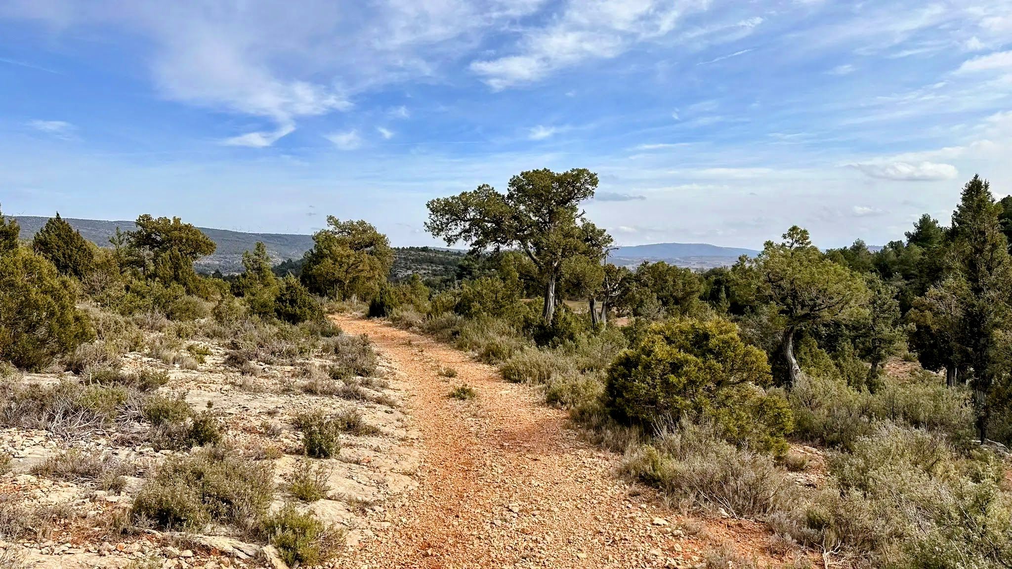
Between junipers and ravines - The Livestock Routes of the Serranía del Turia (GR 37)

MontañasVacías official — bikepacking across the Spanish Lapland
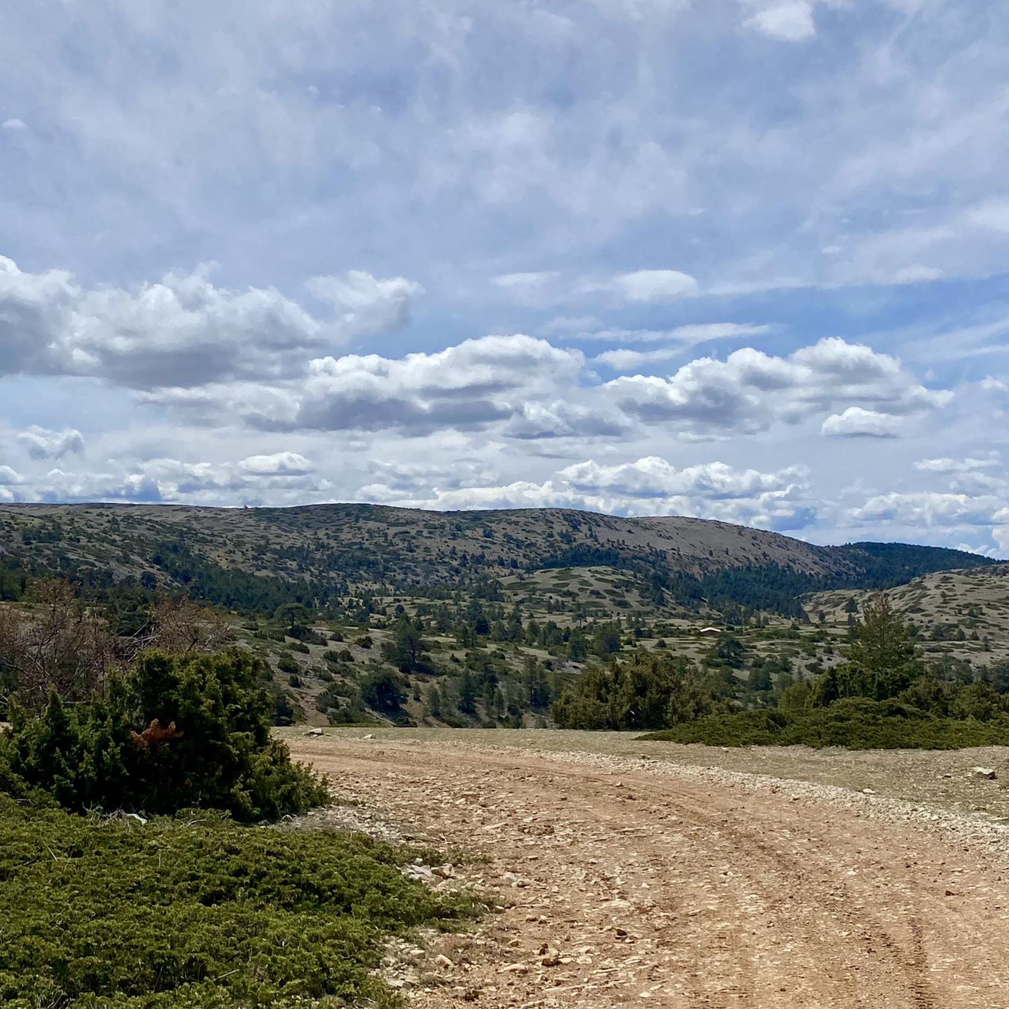
Cycling around Arcos De Las Salinas
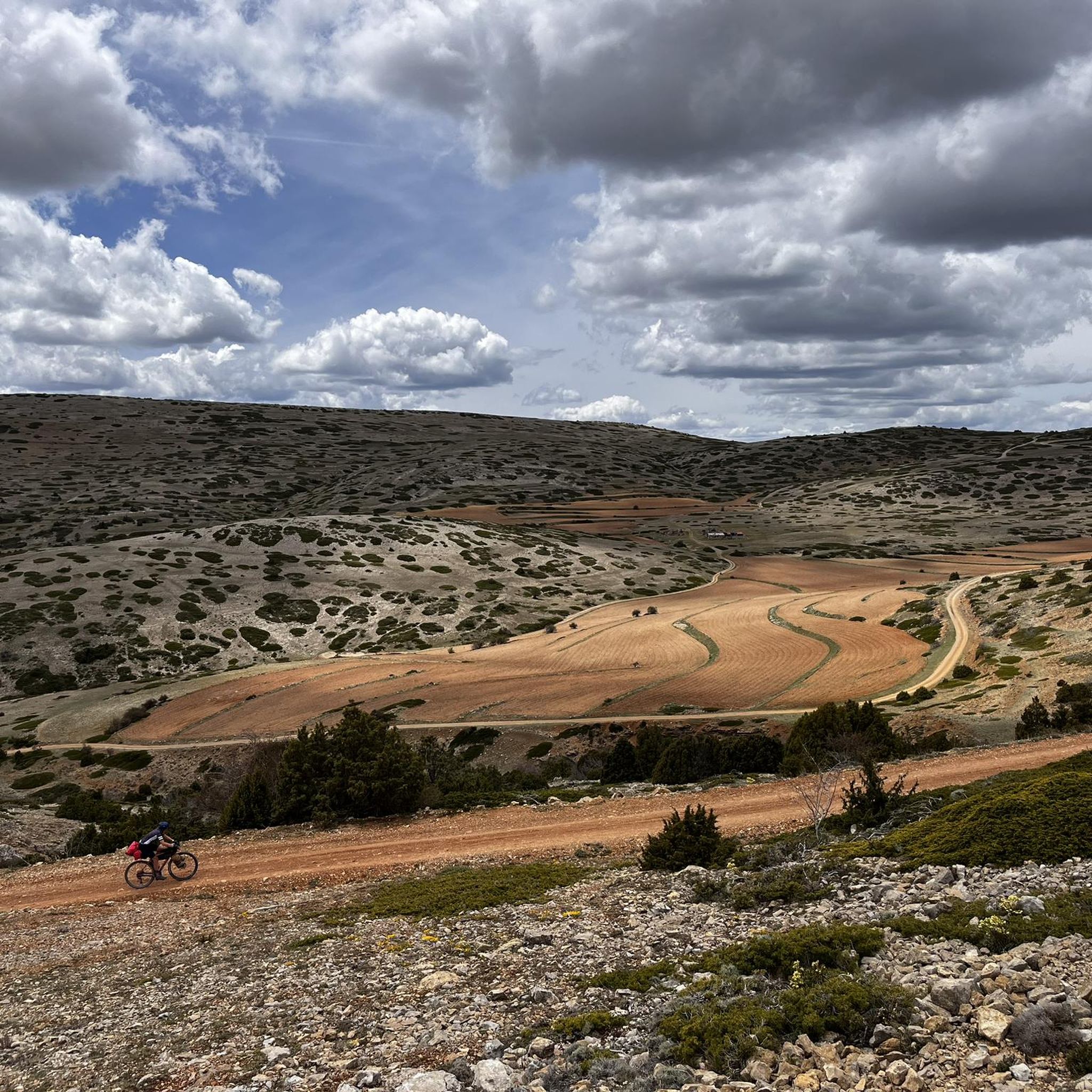
Road Cycling Routes around Arcos De Las Salinas
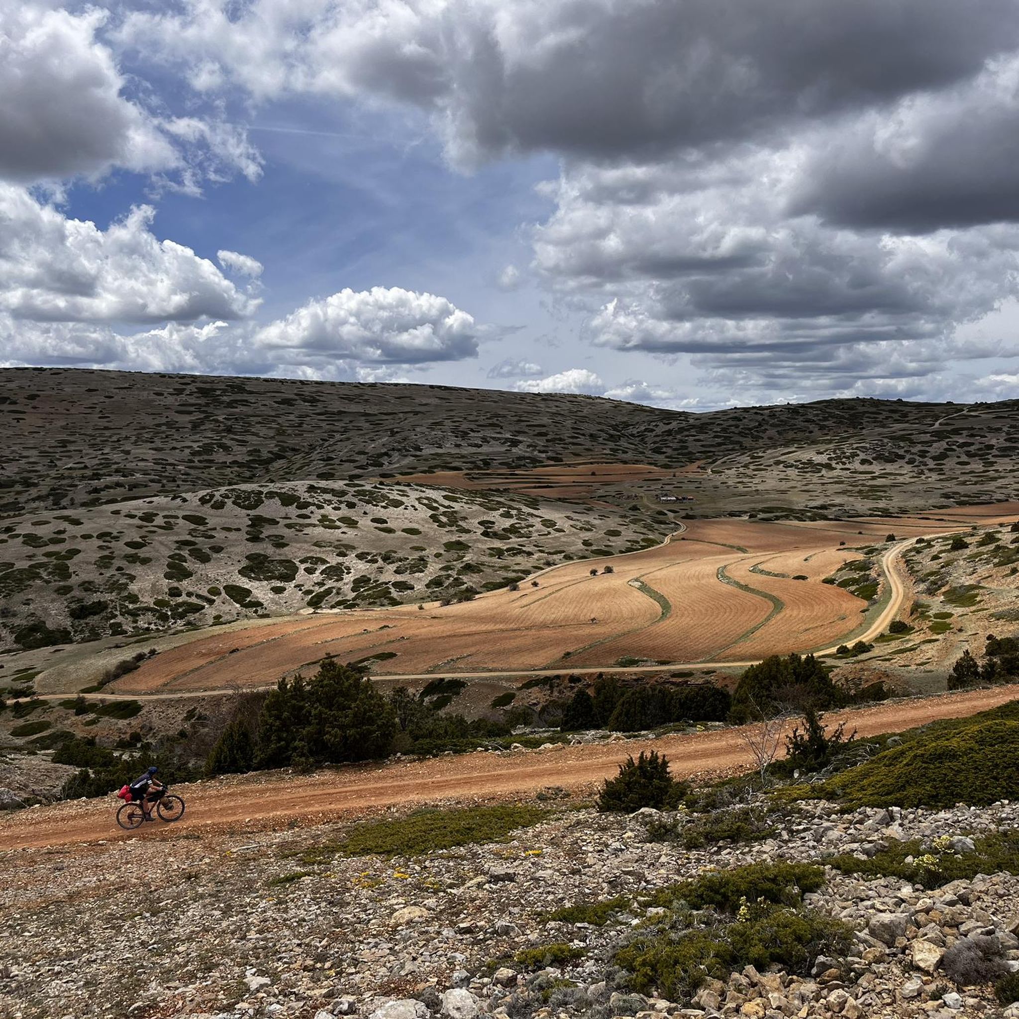
Running Trails around Arcos De Las Salinas
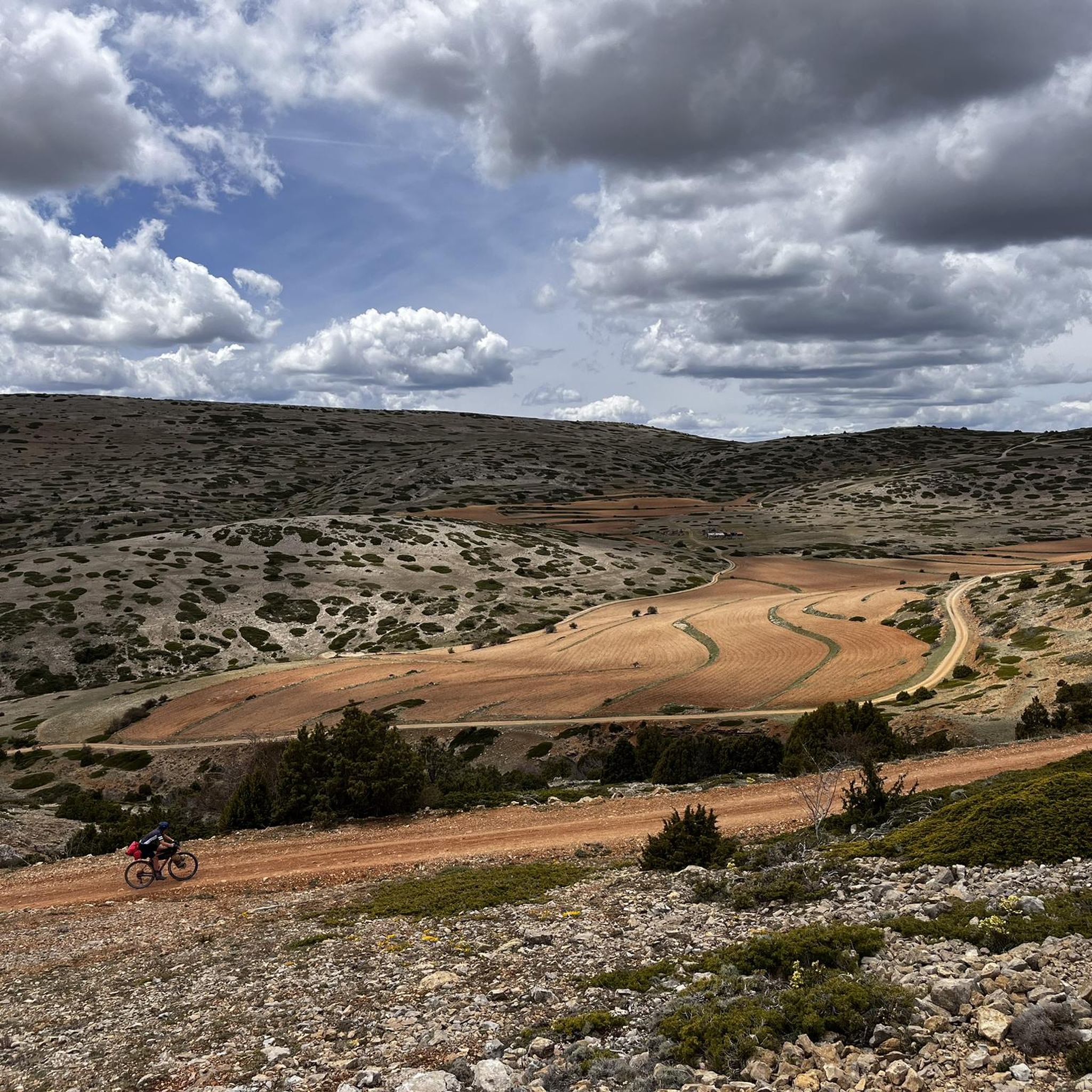
MTB Trails around Arcos De Las Salinas


Tips from the Community

The Rabadá and Navarro refuge is located in the heights of the Javalambre mountain range, very close to the ski resort. It has a capacity of 74 beds and offers blankets, heating, hot showers, food service and a bar.
1
0

Located at an altitude of 1,715 meters, this refuge is accessible from La Puebla de San Miguel or Camarena de la Sierra. The refuge is a simple stone hut with basic amenities such as a small fireplace and a nearby fountain called Fuente del Pozo. It is an ideal place for hikers looking to rest for the night while exploring the Sierra de Javalambre.🚴🚶♀️🚵🌄
4
0

a really gorgeous place - perfect for an overnight stay
3
0

The summit is 2019 meters high. The path is demanding, but it is worth the effort. The panoramic views of the surrounding mountains are like something out of a movie.
2
0

Minimalistic shelter, enough to protect you from the weather. Keep in mind to bring enough water since there is no spring nearby.
3
0

The final section of the climb to Alto de las Barracas (1,838 m) is not cyclable but it is easy to climb pushing the bicycle. The trail markings pass through the vertex and continue in the direction of Pino Vicente. White and yellow signs are painted on the limestone rocks and there are also stone milestones marking the way.
0
0

We are at Pico Javalambre at an altitude of 2,019 meters, considered a sacred mountain by many nature lovers and/or Turolenses. It is the highest peak of the mountain range that bears his name, it is considered by the majority of Teruel residents to be the roof of their province, although the true roof of Teruel is the top of Peñarroya. If we have the opportunity to climb here when there is no snow, we will be able to appreciate the so-called "leopard skin" caused by the vegetation on the entire surface of the massif, a work of art of nature!
2
0
Frequently Asked Questions
How many hiking trails are available in Arcos De Las Salinas?
There are over 35 hiking trails in and around Arcos De Las Salinas, offering a diverse range of experiences from easy walks to challenging mountain ascents. The komoot community has explored these routes over 160 times.
What kind of landscapes and terrain will I encounter while hiking in Arcos De Las Salinas?
Hikers in Arcos De Las Salinas will experience varied terrain, including mountainous areas with prominent peaks like Pico Javalambre, lush river valleys such as the Arcos River valley, and dense pine forests. You'll also find barrancos (ravines) and open fields, providing a rich and diverse outdoor experience.
Are there any circular hiking routes in the area?
Yes, Arcos De Las Salinas offers several circular routes. A notable one is the Pico del Buitre Circular Trail, which is a challenging 20.1 km route with significant ascent. Another popular option is the Javalambre – circular from Javalambre Station via Rabadá y Navarro Refuge, a moderate 9.2 km trail offering spectacular mountain views.
Are there any easy or family-friendly hikes in Arcos De Las Salinas?
Yes, there are 7 easy trails suitable for families or those looking for a more relaxed walk. For example, the Torrijas - circular route on the Cholesterol Route is an easy 6.2 km path with minimal elevation change, perfect for a leisurely outing.
What natural attractions or landmarks can I see along the hiking trails?
The region boasts several natural highlights. You can visit the impressive Pico Javalambre and Alto de las Barracas or Cerro Calderón 1838m for panoramic views. The The Amanaderos of Riodeva offers a beautiful waterfall, and the Dino Route of Aras de los Olmos is a unique natural monument.
Are there any historical or cultural sites to explore near the hiking routes?
Absolutely. The Javalambre Astrophysical Observatory (Pico del Buitre) is a significant modern landmark. Historically, the Reales Salinas de Arcos (Royal Salt Pans) are a Bien de Interés Cultural, featuring the 18th-century Ermita de la Virgen de los Dolores and the Iglesia de la Inmaculada Concepción within its complex.
What is the best time of year to go hiking in Arcos De Las Salinas?
The best time to hike in Arcos De Las Salinas generally depends on your preferred activity. Spring and autumn offer pleasant temperatures for most trails. Summer can be warm, especially at lower elevations, while winter provides opportunities for snow hiking in higher mountainous areas like Pico Javalambre, though conditions can be challenging.
Is Arcos De Las Salinas suitable for dog-friendly hikes?
Many trails in Arcos De Las Salinas are suitable for dogs, allowing you to explore the diverse landscapes with your canine companion. It's always recommended to keep dogs on a leash, especially in areas with wildlife or livestock, and to follow local regulations regarding pet access.
What do other hikers enjoy most about hiking in Arcos De Las Salinas?
The area is highly rated by the komoot community, with an average score of 4.4 stars from over 10 reviews. Reviewers often praise the region's diverse terrain, from challenging mountain ascents to tranquil river walks, and the stunning panoramic views from peaks like Pico del Buitre and Pico Javalambre.
Are there any long-distance hiking paths that pass through Arcos De Las Salinas?
Yes, Arcos De Las Salinas is part of the GR-10, a significant long-distance trekking route. This path connects to various other hiking and mountain biking trails, offering opportunities for extended journeys through the region's beautiful landscapes.
Where can I find dense pine forests for hiking?
Dense pine forests are a characteristic feature of the region. Many trails meander through these forests, such as The Forest of Las Blancas — Circular from Puebla de San Miguel, offering shaded and scenic routes.
Are there challenging routes for experienced hikers?
Yes, Arcos De Las Salinas offers 10 difficult routes for experienced hikers. The Pico del Buitre Circular Trail, for instance, is a demanding 20.1 km route with significant elevation gain, providing a rewarding challenge and expansive panoramic views.
Most popular routes around Arcos De Las Salinas
Most popular attractions around Arcos De Las Salinas

Get inspired with the komoot mobile app


Explore more
Browse the best Hikes in other regions.
