The best traffic-free bike rides around Malpica De Tajo
32
riders
8
rides
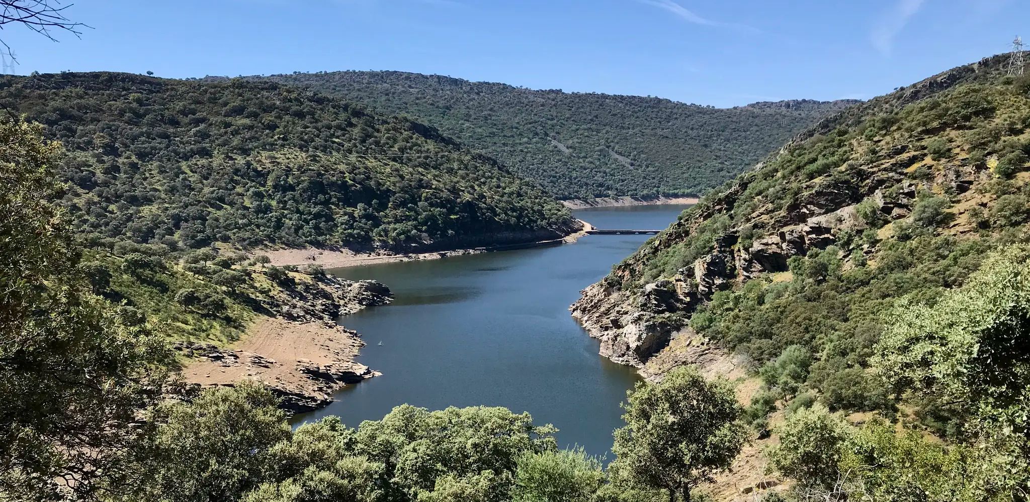
No traffic touring cycling routes around Malpica De Tajo traverse a landscape shaped by the Tajo River, offering diverse natural features. The region is characterized by extensive olive groves, irrigated fields, and cornfields, providing varied scenery for cyclists. Lush riparian vegetation lines the riverbanks, forming part of a Special Protection Area for birds and riverine forest. This area in the province of Toledo features a mix of flat sections along the river and gentle ascents through agricultural lands.
Best no…
Last updated: July 2, 2026
5
riders
59.4km
04:45
740m
740m
Hard bike ride. Very good fitness required. Mostly paved surfaces. Suitable for all skill levels.
3
riders
20.9km
01:39
150m
140m
Easy bike ride. Great for any fitness level. Mostly paved surfaces. Suitable for all skill levels.

Sign up for free
4
riders
49.6km
03:53
460m
460m
Hard bike ride. Very good fitness required. Mostly paved surfaces. Suitable for all skill levels.
4
riders
55.2km
04:20
430m
430m
Moderate bike ride. Good fitness required. Mostly paved surfaces. Suitable for all skill levels.
3
riders
Moderate bike ride. Good fitness required. Mostly paved surfaces. Suitable for all skill levels.
Get access to more routes and recommendations from other explorers.
Sign up for free
Already have an account?
Our route recommendations are based on thousands of hikes, rides, and runs completed by other people on komoot.
Start today with a free account
Your next adventure awaits.
Login or Signup
Popular around Malpica De Tajo
Other adventures around Malpica De Tajo

Tips from the Community

Surrounding Real de San Vicente lies a magnificent pastureland where you can enjoy the holm oaks, oak trees, and other vegetation. If you walk quietly, you might be lucky enough to spot roe deer, foxes, deer, and other native fauna.
0
0
El Real de San Vicente is located at the foot of the mountain range from which it takes its name, in a prime setting for outdoor activities. Its location is associated with military settlements in the 11th and 12th centuries. Remains of its millennia-long occupation are preserved in the village.
0
0

La Portiña is a small reservoir located north of Talavera de la Reina on the Portiña stream and next to the natural surroundings of the Berrocal mountain range.
1
0

It's worth seeing, especially in spring, when the stream is usually full of water and there's a small waterfall.
0
1
The new Talavera de la Reina cable-stayed bridge is an engineering prodigy, it is a world record in the type of cable-stayed bridges with a single mast in high-resistance prestressed concrete, with the highest inclined pylon in Europe. Its 152 stays and 192 meters make it the second highest cable-stayed bridge in Spain and the second in Europe. It is a display of national and international architecture.
3
0
It extends along the eastern bank of the Tagus River and is the second most populated municipality in the province and the fourth in Castilla-La Mancha. Among its monuments are the Basilica of Our Lady of the Prado, which houses what is today the patron saint of the city. It was called Queen of the Hermitages by Philip II, it is also called the Sistine Chapel of ceramics, because this colorful art shows here all its splendor from the 16th century to the present day. The style of its construction is a combination of Renaissance and Baroque, although it has undergone various restorations over the centuries. It was elevated to the dignity of Basilica in 1989 by Pope John Paul II. In the Church of Santa María La Mayor (La Colegial) you can admire its pure Gothic cloister, which was built around the year 1469. Its floor plan is rectangular, made up of three longitudinal naves and without a transept. In the years 1704 and 1705 the two upper sections of the Tower were added.
9
0

The Church of St. Mary Magdalene in Garciotum is a 15th-century Gothic-Renaissance church. You'll probably notice that the tower is in a different style; it dates back to the 17th century.
1
0
From here, paseo, MTB or gravel
0
0
Frequently Asked Questions
How many no-traffic touring cycling routes are available around Malpica De Tajo?
There are 8 dedicated no-traffic touring cycling routes around Malpica De Tajo. These routes offer a mix of difficulties, with 1 easy, 4 moderate, and 3 difficult options to explore the region's natural beauty.
What kind of terrain can I expect on no-traffic touring cycling routes in Malpica De Tajo?
The no-traffic routes in Malpica De Tajo primarily follow the 'Camino Natural del Tajo', offering varied terrain. You'll cycle through extensive olive groves, irrigated fields, and cornfields, often alongside the Tajo River with lush riparian vegetation. Some sections, like those on the El Real de San Vicente – Puente de los Molinos loop from Montearagón, involve more significant elevation changes, while easier routes like the Bike loop from Huerta del Cotanillo are flatter.
Are there any family-friendly no-traffic cycling routes in Malpica De Tajo?
Yes, there is an easy no-traffic touring cycling route suitable for families: the Bike loop from Huerta del Cotanillo. This route covers 20.9 km with minimal elevation gain, making it a pleasant option for a family outing. The riverside paths along the Tajo are generally calm and offer beautiful scenery away from vehicle traffic.
What natural features or landmarks can I see along these no-traffic routes?
Cycling along the Tajo River, you'll encounter the 'Islas de Malpica de Tajo', a Special Protection Area for birds (ZEPA) and riverine forest (ZEC), part of the Natura 2000 network. Keep an eye out for diverse aquatic birds, otters, and Mediterranean turtles. The routes also offer views of impressive Manchego landscapes, including olive groves and cornfields. A significant landmark is the historic Malpica Castle, visible from the riverbank, especially when entering the town via the bridge.
Are there any circular no-traffic touring cycling routes available?
Yes, several no-traffic touring cycling routes are circular. For example, the El Real de San Vicente – Puente de los Molinos loop from Montearagón is a challenging 59.3 km loop. Another option is the Bike loop from Los Clérigos, a difficult 48.9 km circular route.
What is the best time of year to go touring cycling in Malpica De Tajo?
The best time to go touring cycling in Malpica De Tajo is typically during spring (April-May) and autumn (September-October). During these seasons, the weather is milder and more pleasant for cycling, avoiding the intense heat of summer and the cooler, potentially wetter conditions of winter. The natural landscapes are also particularly vibrant during these times.
Can I find places to eat or stay along the no-traffic cycling routes?
While the routes themselves are designed to be traffic-free, Malpica de Tajo and nearby towns offer amenities. You can find local cafes, pubs, and accommodation options in Malpica de Tajo itself. Planning your route to pass through these towns will allow for convenient stops for refreshments and rest.
Are there any advanced or challenging no-traffic touring routes?
Yes, there are several challenging no-traffic touring routes for experienced cyclists. The El Real de San Vicente – Puente de los Molinos loop from Montearagón is a difficult 59.3 km route with significant elevation gain. Another demanding option is the Castilla-La Mancha Bridge – Old Alberche Bridge loop from La Pueblanueva, covering 49.5 km with considerable climbing.
Is public transport available to access these no-traffic cycling routes?
Malpica de Tajo is accessible by road, and while direct public transport links specifically for cyclists might be limited, regional bus services connect Malpica de Tajo to larger towns like Talavera de la Reina and Toledo. It's advisable to check local bus schedules and policies regarding bicycle transport if you plan to use public transport to reach the starting points of the routes.
Where can I park my car when starting a no-traffic touring cycling route in Malpica De Tajo?
Malpica de Tajo, being a smaller town, generally offers street parking. When starting a route, look for available parking in the town center or near the access points to the Camino Natural del Tajo. It's usually straightforward to find a spot, especially outside of peak tourist seasons.
What kind of wildlife might I encounter on the no-traffic routes along the Tajo River?
The 'Islas de Malpica de Tajo' and the riverine areas are part of a Natura 2000 network, making them rich in wildlife. Cyclists might spot various aquatic birds such as the golden plover, egret, imperial heron, shoveler, and black-winged stilt. There's also a chance to see otters, Mediterranean turtles, and Iberian newts, especially during quieter times of day.
Most popular routes around Malpica De Tajo
Most popular attractions around Malpica De Tajo

Get inspired with the komoot mobile app


Explore more
Browse the best Cycling routes in other regions.
