The best walks and hikes around Malpica De Tajo
5.0
(1)
5
hikers
4
hikes
Hiking around Malpica De Tajo offers access to diverse riverine landscapes and low mountain terrain in the province of Toledo. The region is characterized by its intimate connection with the Tagus River, featuring lush riparian forests and the Islas de Malpica de Tajo, a designated Special Protection Area for Birds (ZEC-ZEPA). These natural features provide varied environments for outdoor exploration, including paths along the riverbanks and through the surrounding countryside.
Best hiking trails around Malpica De Tajo
- The most popular…
Last updated: June 27, 2026
5.0
(1)
1
hikers
16.7km
04:28
200m
200m
Moderate hike. Good fitness required. Easily-accessible paths. Suitable for all skill levels.
1
hikers
19.0km
04:55
110m
110m
Moderate hike. Good fitness required. Easily-accessible paths. Suitable for all skill levels.

Sign up for free
Moderate hike. Good fitness required. Easily-accessible paths. Suitable for all skill levels.
2
hikers
8.31km
02:12
80m
80m
Moderate hike. Good fitness required. Easily-accessible paths. Suitable for all skill levels.
1
hikers
10.6km
02:51
130m
130m
Moderate hike. Good fitness required. Easily-accessible paths. Suitable for all skill levels.
Our route recommendations are based on thousands of hikes, rides, and runs completed by other people on komoot.
Start today with a free account
Your next adventure awaits.
Login or Signup
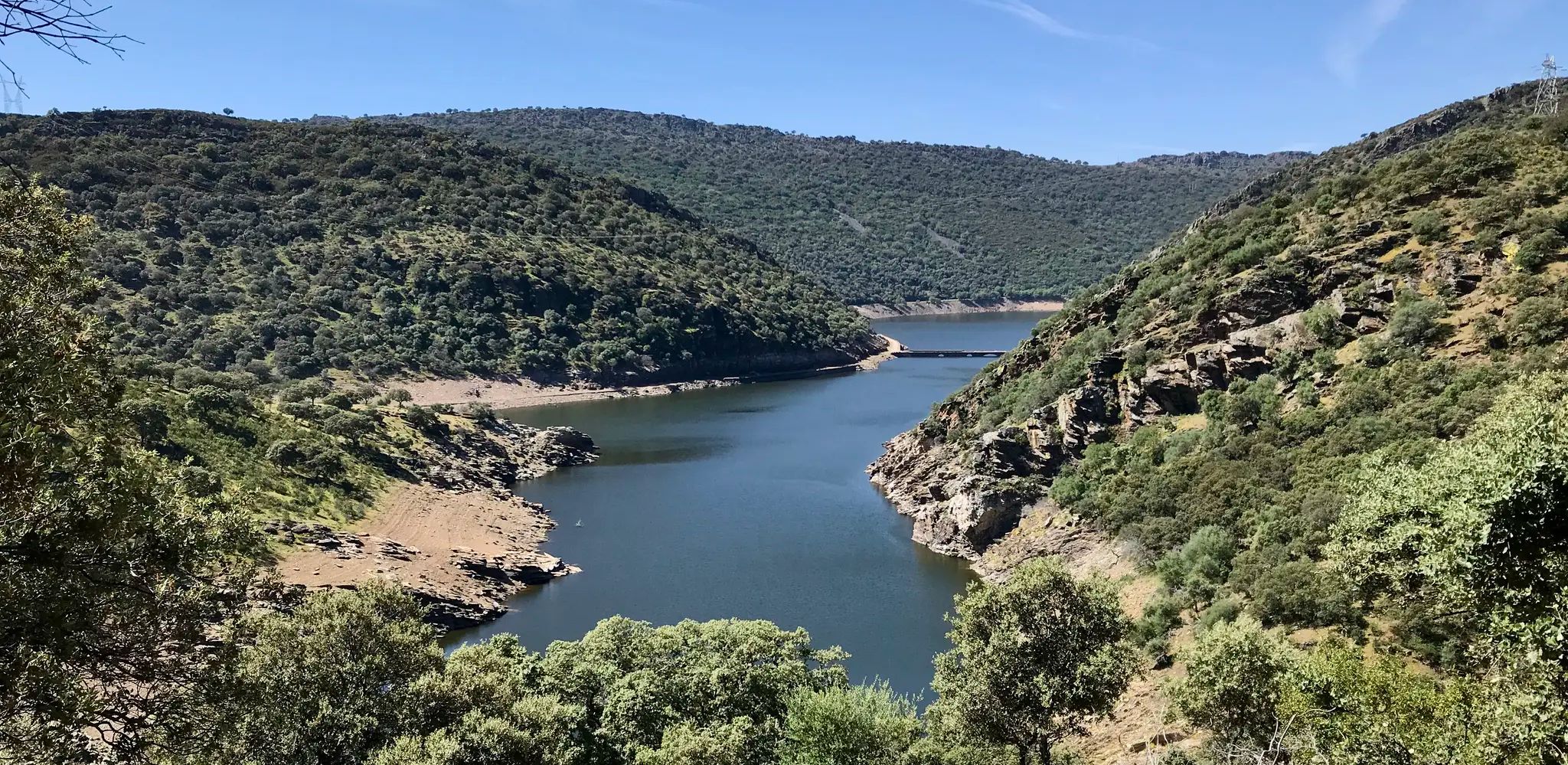
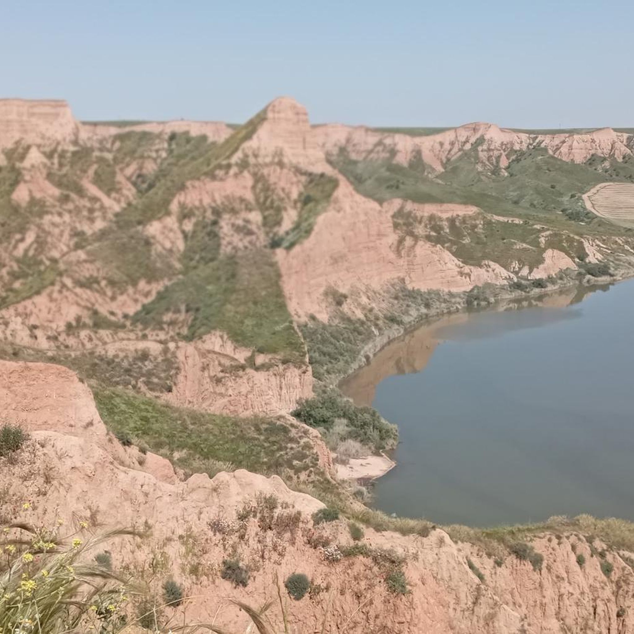
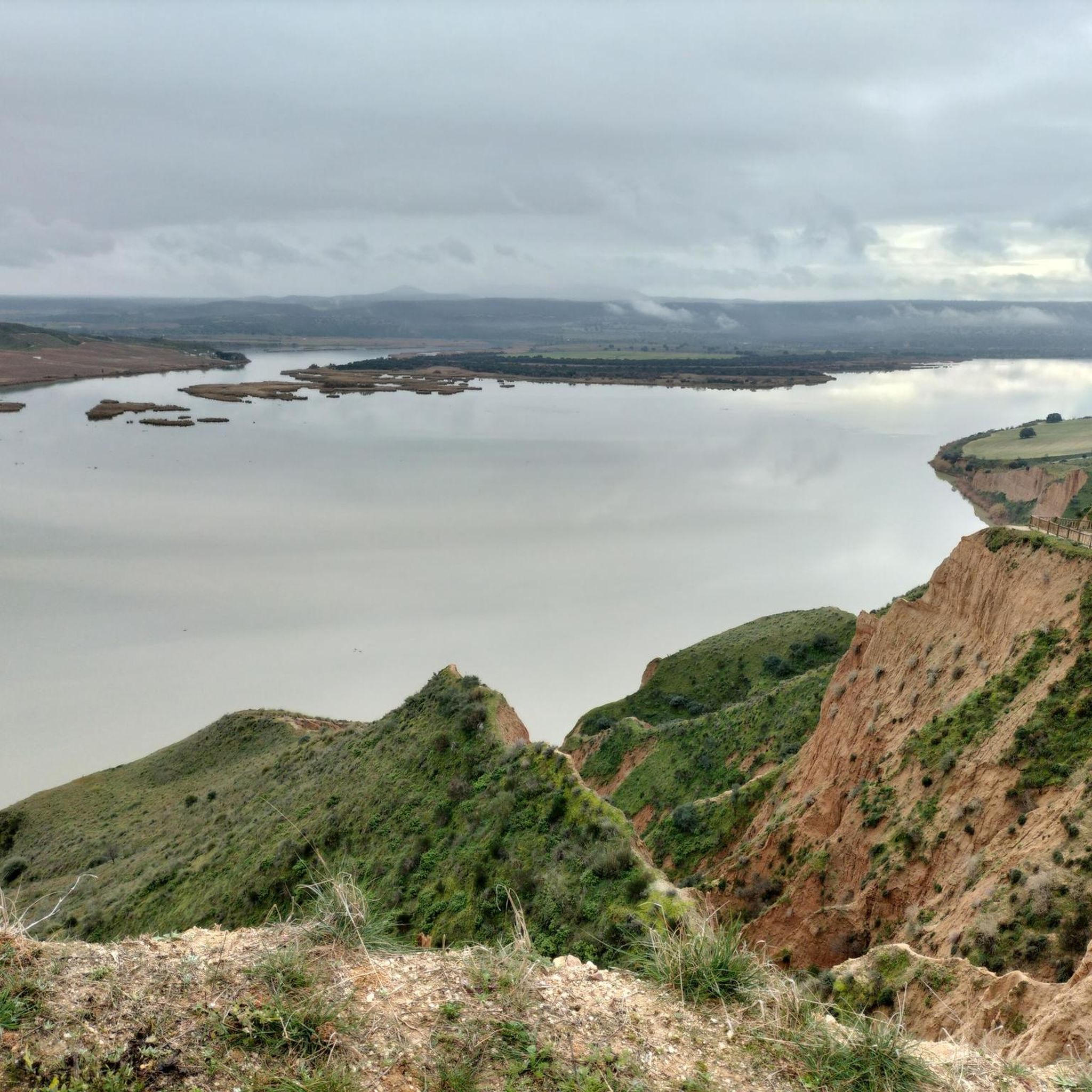
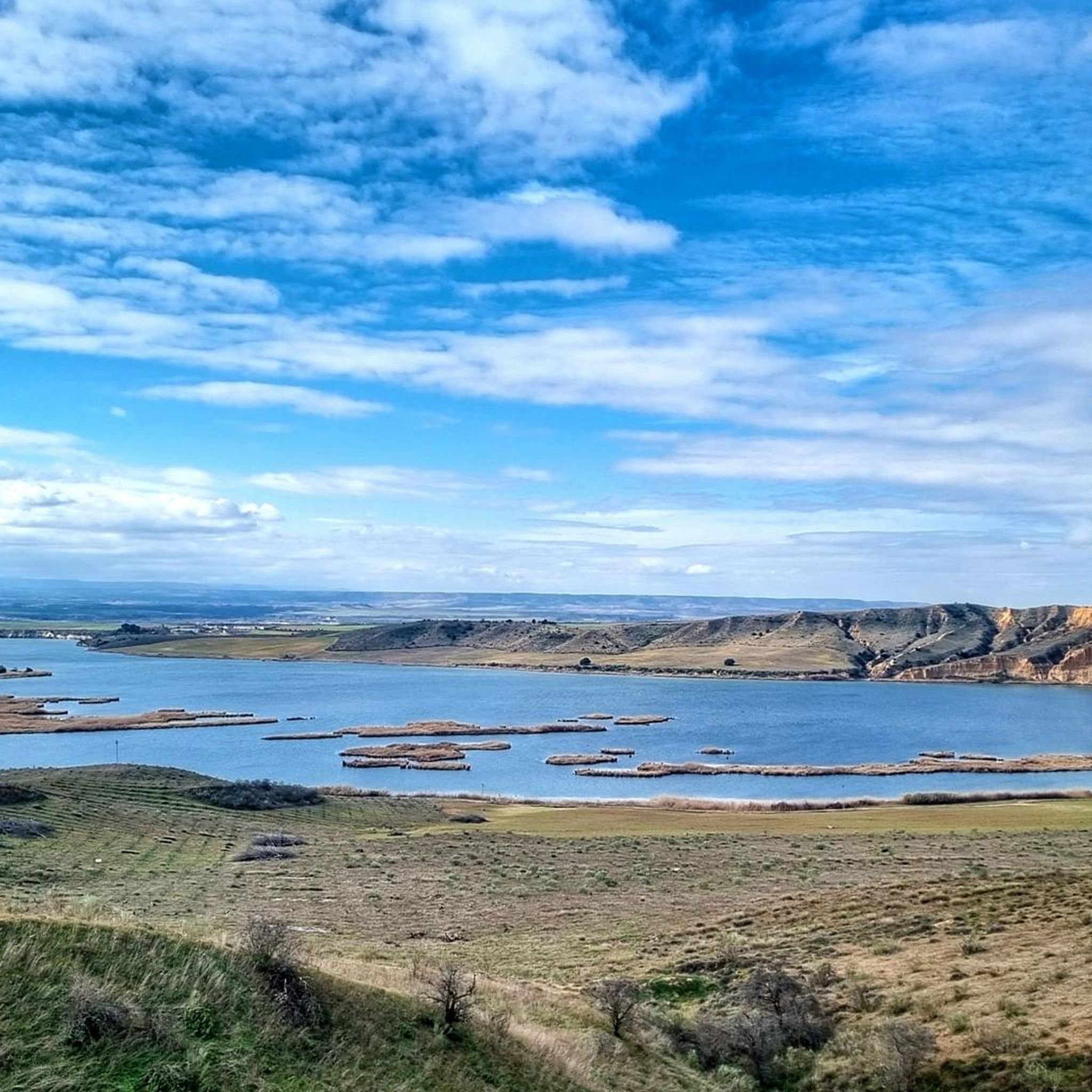
Other adventures around Malpica De Tajo

Tips from the Community

The old boatman's house, from the times when the boatman was an important person, since he allowed farmers and horses, vehicles, etc. to cross the river, before the construction of the bridge. Today it has become a recreational area in the beautiful surroundings of the Tagus River.
0
0
Views of the small Carpio de Tajo reservoir, connected to the Castrejon Canal. It is a popular fishing area.
0
1
Among the monuments of the town, the parish church of San Bartolomé and the town hall stand out. We can also see a powder magazine from the Civil War, which is a military construction, which was also used as an air raid shelter.
2
0
This section of the PR-TO 35 trail passes along the banks of the Sangrera River. We can enjoy the richness of the vegetation and the company of waterfowl.
2
0

The path from La Rinconada to the Ruidero bridge follows the course of the Torcón river and allows you to reach the castle of Montalbán, a fairly long route that can be shortened while allowing you to enjoy this beautiful landscape.
2
0
Frequently Asked Questions
What kind of natural landscapes can I expect to see while hiking in Malpica de Tajo?
Hiking in Malpica de Tajo offers diverse riverine landscapes and low mountain terrain. The region is intimately connected with the Tagus River, featuring lush riparian forests along its banks and the unique Islas de Malpica de Tajo. You'll find tranquil paths along the river and varied environments through the surrounding countryside.
What wildlife might I encounter on the trails in Malpica de Tajo?
The Islas de Malpica de Tajo and the Tagus River form a Special Protection Area for Birds (ZEC-ZEPA). Hikers might spot various aquatic bird species like the golden plover, ruff, little egret, and imperial heron. Beyond birds, the area is also home to otters, European pond turtles, and Iberian newts.
Are there any long-distance trails in the Malpica de Tajo area?
Yes, the region is part of the extensive Camino Natural del Tajo (GR-113). This long-distance trail allows hikers to explore the vast riverine landscapes and low mountain terrain that characterize the area, offering a more extended outdoor experience.
Are there any historical landmarks or points of interest along the hiking routes?
Absolutely. A prominent landmark is the imposing Malpica Castle, dating back to the 10th century. It's uniquely situated directly on the banks of the Tagus River, providing a stunning view for hikers, especially from the river or the bridge at the town's entrance. While privately owned, its exterior is a significant historical sight.
Can I find circular hiking routes in Malpica de Tajo?
Yes, there are several circular routes available. For example, the Embalse del Carpio y la Casa del barquero — circular desde El Carpio de Tajo is a popular option that leads through riverine landscapes and near the Embalse del Carpio. Another is the Valle del río Sangrera (PR-TO 35) — circular desde San Bartolomé de las Abiertas.
What is the general difficulty level of hiking trails in Malpica de Tajo?
The hiking trails in Malpica de Tajo are generally considered to be of moderate difficulty. There are currently 4 moderate routes listed, offering accessible options for most hikers without being overly strenuous.
Are the hiking trails in Malpica de Tajo suitable for families?
Yes, many of the trails along the Tagus River, such as the Paseo junto al Tajo, are well-suited for families. These paths are often tranquil and offer opportunities to observe local flora and fauna in a safe environment. While specific 'easy' routes aren't highlighted, the moderate trails can be enjoyed by families with some hiking experience.
Can I bring my dog on the hiking trails in Malpica de Tajo?
Malpica de Tajo's natural environment, particularly along the Tagus River and its riparian forests, is generally welcoming for dogs. It's always recommended to keep your dog on a leash, especially in areas designated for wildlife protection like the ZEC-ZEPA, to ensure the safety of both your pet and local wildlife.
What is the best time of year to go hiking in Malpica de Tajo?
The spring and autumn months are generally the most pleasant for hiking in Malpica de Tajo. The weather is milder, and the natural landscapes are vibrant. Summer can be quite hot, making early morning or late afternoon hikes preferable, while winter offers a different, often tranquil, experience with cooler temperatures.
Where can I park when visiting the hiking trails in Malpica de Tajo?
Parking is typically available in and around the town of Malpica de Tajo, especially near access points to the river paths or the main village. For specific trailheads, it's advisable to check local signage or maps for designated parking areas, particularly when starting a route from a smaller village like El Carpio de Tajo or San Bartolomé de las Abiertas.
What do other hikers say about the trails in Malpica de Tajo?
The hiking routes in Malpica de Tajo are highly rated by the komoot community, with an average score of 5.0 stars from over 1 review. More than 5 hikers have used komoot to explore the varied terrain, often praising the serene riverine environments and the connection with nature.
How many hiking trails are available in Malpica de Tajo?
There are currently 4 hiking trails available in Malpica de Tajo, all of which are rated as moderate difficulty. These routes offer diverse experiences, primarily focusing on the Tagus River and its surrounding landscapes.
Most popular routes around Malpica De Tajo
Most popular attractions around Malpica De Tajo

Get inspired with the komoot mobile app


Explore more
Browse the best Hikes in other regions.
