The best hikes from bus stations around Padstow
4.7
(1973)
18,891
hikers
26
hikes
Bus station hiking trails around Padstow offer access to Cornwall's diverse coastal and estuarial landscapes. The region is characterized by rugged cliffs, expansive Atlantic views, and the tranquil Camel Estuary. Hikers encounter a mix of sandy beaches, secluded coves, and unique geological formations. This area provides varied terrain from gentle estuary paths to more challenging coastal treks.
Best bus station hiking trails around Padstow
- The most popular bus station hiking route is Trevose Head & Constantine Bay loop from Harlyn…
Last updated: November 1, 2026
4.6
(43)
346
hikers
8.99km
02:26
120m
120m
Embark on the Trevose Head & Constantine Bay loop from Harlyn, a moderate hiking experience spanning 5.6 miles (9.0 km) with an elevation gain of 386 feet (118 metres), typically…
4.8
(36)
302
hikers
15.9km
04:18
210m
210m
Moderate hike. Good fitness required. Easily walkable paths.

4.8
(25)
209
hikers
11.9km
03:14
170m
170m
Moderate hike. Good fitness required. Easily walkable paths.
4.9
(21)
209
hikers
13.3km
03:38
190m
190m
Moderate hike. Good fitness required. Easily walkable paths.
4.5
(6)
197
hikers
5.27km
01:24
60m
60m
Easy hike. Easily walkable paths.
Get access to more routes and recommendations from other explorers.
Already have an account?
Our route recommendations are based on thousands of hikes, rides, and runs completed by other people on komoot.
Start today with a free account
Your next adventure awaits.
Other adventures around Padstow


Tips from the Community

The South West Coast Path is Britain's longest and arguably most iconic national trail. Stretching an impressive total length of over a thousand kilometres, this iconic route meanders along the rugged coastlines of Somerset, Devon, Cornwall, and Dorset. Originally, the path was formed by the coastguard, who patrolled the cliffs day and night in search of smugglers. Today, the route takes walkers along a continuous alternation of sheer granite cliffs, deep coves, golden sandy beaches, and idyllic fishing villages. Walking the South West Coast Path is a sporting and physical challenge, as the constant ascents and descents along the cliff edges mean you cover a huge amount of elevation gain over the entire length. However, it rewards you at every point with breathtaking panoramas of the Atlantic Ocean, encounters with seabirds and seals, and a unique glimpse into the region's rich maritime and industrial past.
0
0
The view of the Camel Estuary is one of the most beautiful river and coastal landscapes in North Cornwall. From the cliffs and surrounding walking paths, you have a magnificent view down onto the wide estuary where the River Camel flows into the Atlantic Ocean. The changing tide constantly transforms the panorama from a vast, azure expanse of water to an idyllic landscape full of golden sandbanks, including the infamous The Doom Bar. Around the estuary, you will see green hills, sailboats bobbing on the water, and the picturesque silhouettes of villages such as Padstow and Rock. It is a fantastic place to get some fresh air, spot waterfowl, and enjoy the soothing English coastal scenery.
0
0
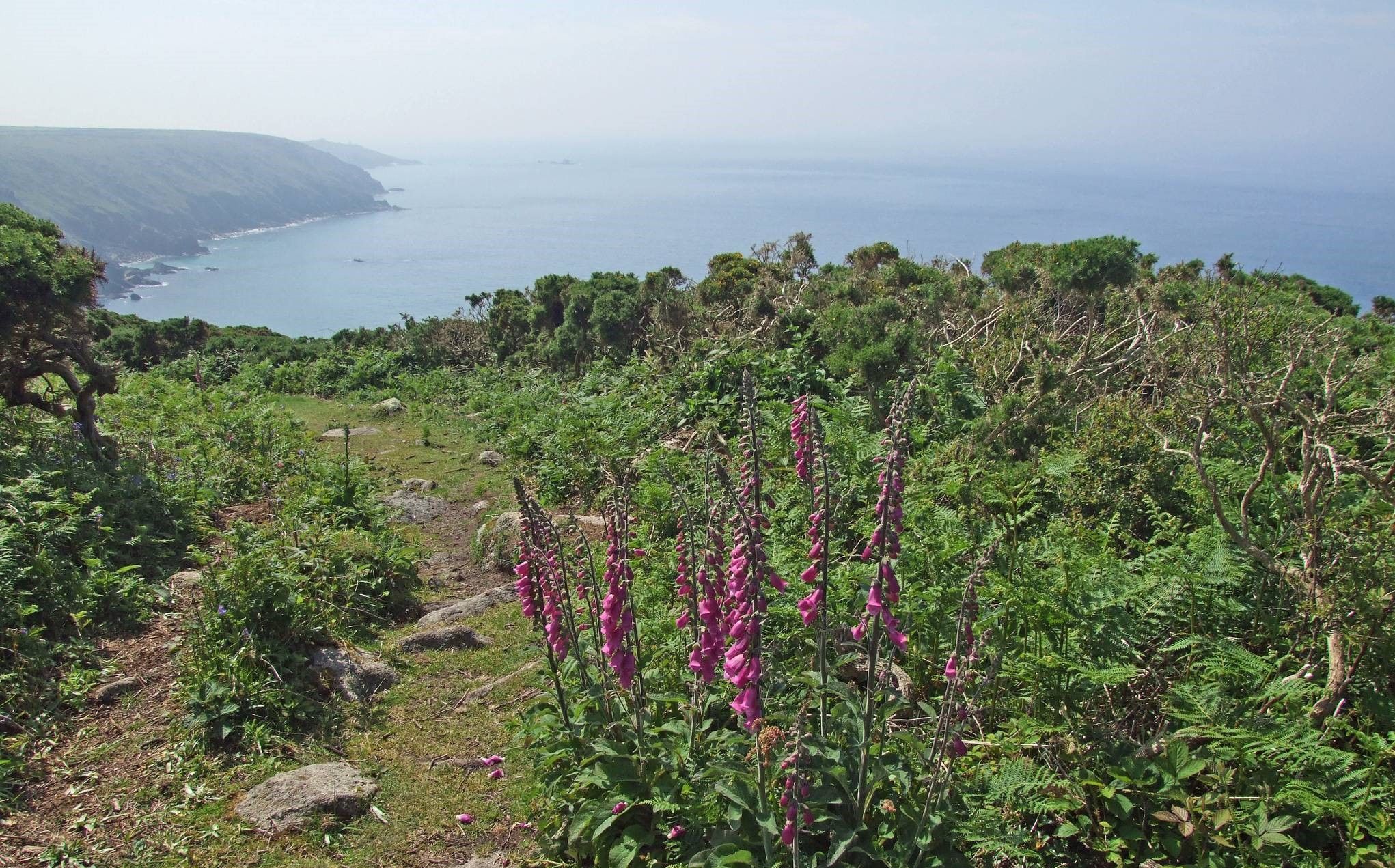
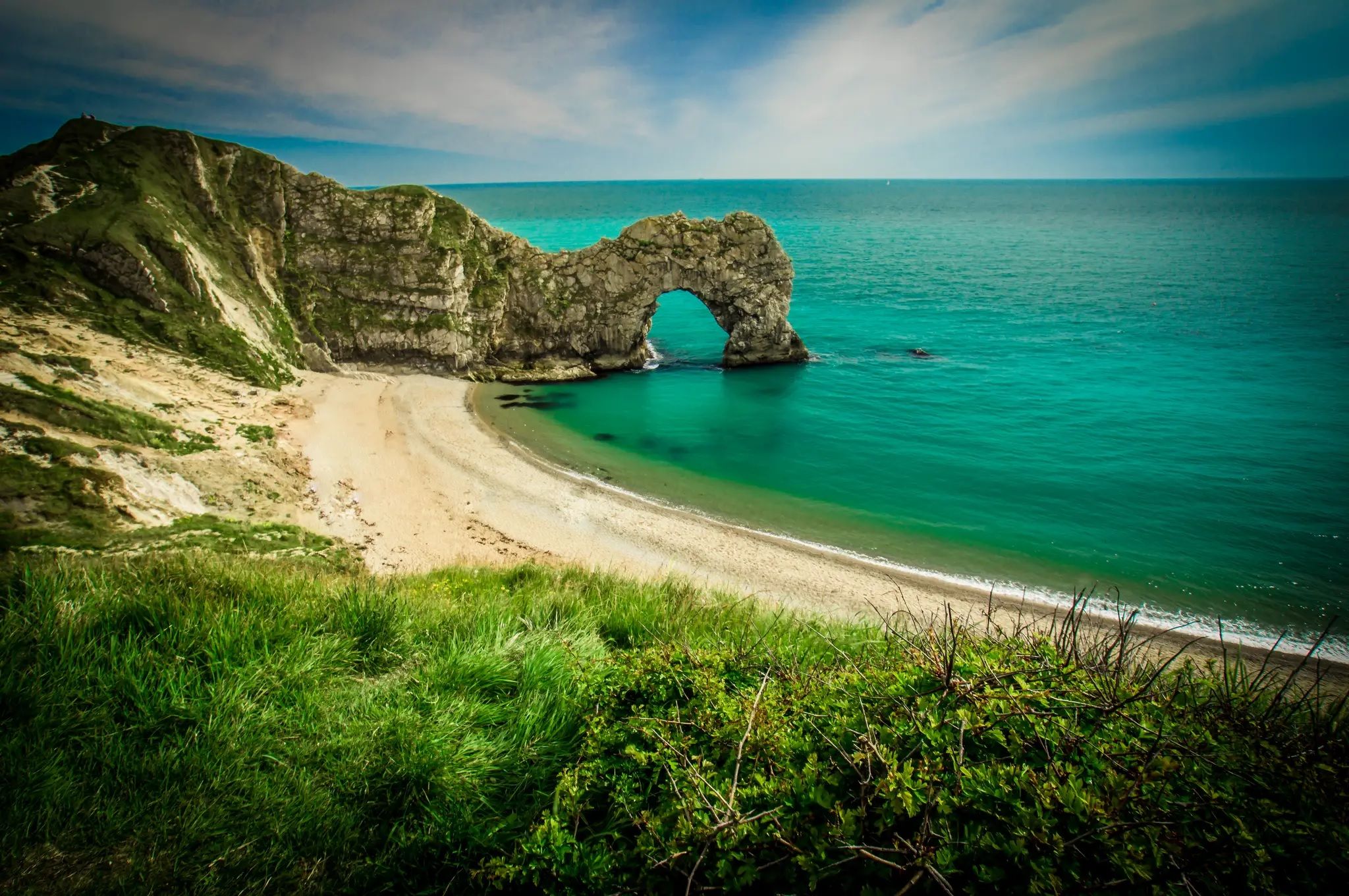
The rugged coastal cliffs of Cornwall are among the most spectacular and impressive natural landscapes in Great Britain. The granite and slate rocks, meters high and rising directly from the Atlantic Ocean, are constantly battered by wild waves and powerful sea winds. Walking along the famous South West Coast Path, you will discover a succession of dramatic cliffs, deep coves, hidden smugglers' bays, and remnants of historic tin mines balancing above the water. From the cliff paths, you can enjoy breathtaking panoramic views, often encounter seabirds and seals, and experience the raw, pure power of the English coastal nature.
0
0
Stepper Point Daymark Tower is a striking, stone-built 1830s lighthouse that towers high above the cliffs at the northern end of Stepper Point, near Padstow in Cornwall. The round lighthouse, over nine metres high, was originally built to safely guide and warn ships into the mouth of the River Camel and Padstow harbour, alerting them to the infamous and dangerous sandbank, The Doom Bar. Today, the tower is a beloved and photogenic landmark for walkers on the iconic South West Coast Path. From the cliffs surrounding the tower, you can enjoy spectacular panoramic views across the Atlantic Ocean, the rugged north Cornwall coastline, and the inner reaches of the Camel Estuary.
0
0


Get away from the hustle and bustle of Padstow and enjoy the paths and views along the coast
0
0
Frequently Asked Questions
How many bus station hiking trails are available around Padstow?
There are over 25 hiking trails around Padstow that are easily accessible from bus stations. These routes cater to various skill levels, from easy strolls to more challenging coastal treks.
Are there easy bus station hikes suitable for beginners or families in Padstow?
Yes, approximately half of the bus station accessible routes around Padstow are rated as easy, making them ideal for beginners or families. While specific routes aren't detailed here, the tranquil Camel Estuary area, accessible by bus, offers many gentle walking opportunities. The Trevose Head & Constantine Bay loop from Harlyn is a moderate option that offers stunning coastal views without extreme difficulty.
What are some popular circular bus station hikes near Padstow?
Many of the bus-accessible routes in Padstow are circular, allowing you to return to your starting point. A popular choice is the Stepper Point Daymark Tower loop from Padstow, which offers breathtaking views of the Camel Estuary and the Atlantic Ocean. Another option is the Padstow Harbour – Stepper Point Daymark Tower loop, also starting from Padstow.
What can I see along the bus station hiking trails around Padstow?
The trails offer a wealth of natural beauty and interesting landmarks. You can expect dramatic cliffs, sandy beaches, and panoramic views of the Atlantic. Notable sights include the iconic Stepper Point Daymark Tower, the picturesque Padstow Harbour, and the stunning Trevone Bay. The region is also known for its diverse birdlife and geological formations.
Are the bus station hikes in Padstow dog-friendly?
Many trails around Padstow are dog-friendly, especially those along the South West Coast Path and inland routes. However, it's always recommended to keep dogs on a lead, particularly near cliff edges, livestock, and during nesting seasons for ground-nesting birds. Some beaches may have seasonal restrictions for dogs, so check local signage.
What is the best time of year for bus station hikes in Padstow?
Spring and summer are particularly beautiful, with wildflowers blooming and generally milder weather, though they can be busier. Autumn offers stunning coastal colours and fewer crowds. Winter hikes can be dramatic and invigorating, but be prepared for potentially strong winds and rain, especially along the exposed coastline. Always check local weather forecasts before heading out.
Are there any amenities like cafes or pubs along these bus-accessible routes?
Padstow itself is well-equipped with cafes, pubs, and restaurants, many of which are conveniently located near the main bus stops. Along the routes, especially in villages like Harlyn Bay or near popular beaches, you'll often find smaller cafes or kiosks. It's advisable to carry water and snacks, especially on longer stretches of the South West Coast Path where amenities might be sparse.
What do other hikers enjoy most about hiking in Padstow?
The hiking trails around Padstow are highly rated by the komoot community, with an average score of 4.7 stars. Reviewers often praise the breathtaking coastal views, the dramatic cliffs, and the variety of landscapes, from tranquil estuaries to sandy coves. The accessibility of these stunning routes via public transport is also frequently highlighted as a major benefit.
Can I find wildlife while hiking from bus stations in Padstow?
Absolutely! The diverse habitats around Padstow are rich in wildlife. Along the coast, you might spot seabirds, grey seals, and even dolphins in the waters. The Camel Estuary is a haven for birdwatchers, with species like herons and egrets. Inland routes can offer glimpses of otters, kingfishers, and various woodland creatures.
How long do bus station walks near Padstow typically take?
The duration of these walks varies significantly. Shorter, easy routes can be completed in 1-2 hours, while moderate coastal paths like the Stepper Point Daymark Tower loop can take 4-5 hours. More challenging or longer routes, such as the Stepper Point Daymark Tower – Constantine Bay Beach loop, might require a full day of hiking, around 7-8 hours. Always check the estimated duration for specific routes on komoot.
Most popular routes around Padstow
Most popular attractions around Padstow

Get inspired with the komoot mobile app


Explore more
Browse the best Hikes in other regions.
