The best traffic-free bike rides around Youlgreave
5.0
(1)
73
riders
10
rides
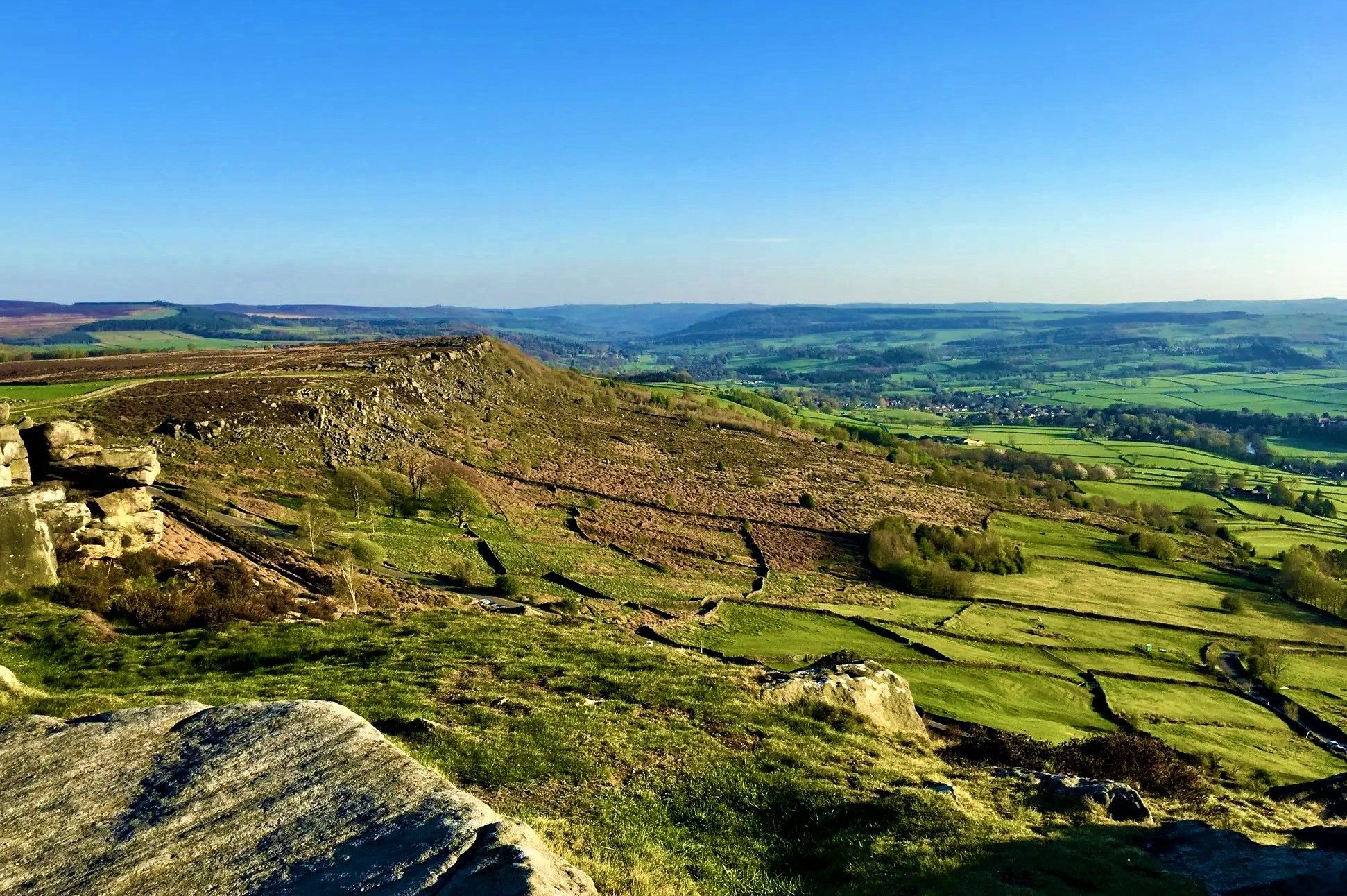
No traffic touring cycling routes around Youlgreave navigate a landscape characterized by diverse terrain, including limestone dales, riverside paths, and heather moorland. The area is situated between the River Bradford and River Lathkill, offering scenic routes with varied surfaces from paved roads to unpaved segments. Cyclists can expect a mix of steep hills, particularly on back roads, and flatter sections along converted railway lines. The region also features woodlands and rocky hillsides, contributing to its varied cycling environment.
Best no…
Last updated: October 4, 2026
5.0
(1)
16
riders
52.6km
03:38
880m
870m
Hard bike ride. Very good fitness required. Mostly paved surfaces. Suitable for all skill levels.
4
riders
26.6km
01:44
340m
340m
Moderate bike ride. Good fitness required. Mostly paved surfaces. Suitable for all skill levels.

5
riders
9.99km
00:45
230m
230m
Moderate bike ride. Good fitness required. Mostly paved surfaces. Suitable for all skill levels.
5
riders
18.3km
01:13
230m
230m
Moderate bike ride. Good fitness required. Mostly paved surfaces. Suitable for all skill levels.
4
riders
Moderate bike ride. Good fitness required. Mostly paved surfaces. Suitable for all skill levels.
Get access to more routes and recommendations from other explorers.
Already have an account?
Our route recommendations are based on thousands of hikes, rides, and runs completed by other people on komoot.
Start today with a free account
Your next adventure awaits.

Other adventures around Youlgreave

Tips from the Community


Stunning views over the surrounding countryside from the High Peak Trail
0
0
Great views here where the trails cross and just up the trail is a cafe with toilets if you fancy a break
0
0
A nice little visitor centre
1
0
Small town in the national park with visitor centre
1
0

Helpful guys at the bike place, fixed up our Tandem very nicely!
0
0

Frequently Asked Questions
What kind of terrain can I expect on no-traffic touring cycling routes near Youlgreave?
The routes around Youlgreave offer a diverse cycling experience. You'll find a mix of mostly paved surfaces, ideal for a smooth ride, alongside unpaved segments and gravel paths that add a bit more adventure. The region is known for its stunning limestone dales and former railway lines like the Tissington Trail, which provide relatively flat, traffic-free sections. However, be prepared for significant elevation changes and steep hills, especially on the quieter back roads of Derbyshire.
Are there any challenging no-traffic cycling routes around Youlgreave?
Yes, for those seeking a challenge, there are routes with considerable elevation gain and varied terrain. For example, the Bradbourne Brook Ford – Tissington Village loop from Youlgreave is a difficult route covering over 52 km with nearly 900 meters of ascent. These routes often include unpaved sections and steep climbs, requiring good fitness.
Are there easy, beginner-friendly no-traffic touring routes available?
While many routes are moderate, some are more accessible. The region's converted railway lines, such as parts of the Tissington Trail, offer gentler, traffic-free rides. Look for routes with lower elevation gain and shorter distances if you're a beginner or prefer a more relaxed pace. The Youlgrave Village Center – Moor Lane Quiet Lane loop from Youlgreave is a moderate option that is just over 10 km with manageable elevation.
How long are the no-traffic touring cycling routes around Youlgreave?
The no-traffic touring cycling routes vary significantly in length. You can find shorter loops, such as the Fountain View Bakery loop from Youlgreave, which is about 10 km. Longer routes, like the Bradbourne Brook Ford – Tissington Village loop from Youlgreave, can extend to over 50 km, offering full-day adventures.
Are the no-traffic cycling routes around Youlgreave suitable for families?
Yes, many of the no-traffic routes, particularly those utilizing former railway lines like sections of the Tissington Trail, are excellent for families. These trails are generally flatter and wider, providing a safe and enjoyable environment away from vehicle traffic. Always check the route's difficulty and terrain description to ensure it matches your family's cycling abilities.
What are some scenic viewpoints or landmarks I can see along these routes?
The Youlgreave area is rich in natural beauty and historical sites. Along your rides, you might encounter stunning limestone dales, riverside paths, and expansive moorland views. Notable viewpoints and landmarks in the wider region include the impressive Headstone Viaduct, Monsal Dale, and the historical Fin Cop Hillfort. The village of Youlgreave itself boasts historical buildings and the River Bradford, known for its wild swimming spot.
Are there circular no-traffic bike routes available?
Yes, many of the no-traffic touring cycling routes around Youlgreave are designed as circular loops, allowing you to start and end in the same location. This is convenient for those who drive to the area. Examples include the Istrian Kazun Stone Shelter – Parsley Hay Café loop from Youlgreave and the Tissington Trail Summit – Istrian Kazun Stone Shelter loop from Youlgreave.
What do other touring cyclists enjoy most about touring cycling in Youlgreave?
The area is highly rated by the komoot community, with an average score of 5.0 stars. Reviewers often praise the region's ability to offer truly traffic-free experiences, the stunning natural landscapes of the Peak District, and the variety of terrain that caters to different skill levels. The combination of quiet lanes, converted railway trails, and picturesque villages makes for a memorable touring cycling adventure.
Are there cafes or pubs along the no-traffic cycling routes near Youlgreave?
Yes, the routes often pass through or near charming villages where you can find cafes and traditional pubs. These establishments provide excellent opportunities for refreshments and breaks. For instance, the Istrian Kazun Stone Shelter – Parsley Hay Café loop from Youlgreave includes a stop at Parsley Hay Café, and the Fountain View Bakery loop from Youlgreave suggests a visit to a local bakery.
When is the best time of year to visit Youlgreave for no-traffic touring cycling?
The Peak District offers beautiful cycling conditions throughout much of the year. Spring and autumn provide pleasant temperatures and vibrant scenery, with fewer crowds than the peak summer months. Summer is also popular, but trails can be busier. Winter cycling is possible, but be prepared for colder weather, potentially icy conditions on higher ground, and shorter daylight hours. Always check local weather forecasts before heading out.
Is parking available for accessing these no-traffic bike trails?
Yes, Youlgreave and surrounding villages typically offer parking facilities, often near trailheads or village centers. Many of the routes are designed as loops, making it convenient to park your vehicle and start your ride directly from the village. It's advisable to check specific parking options for your chosen starting point before your trip, especially during peak season.
Most popular routes around Youlgreave
Most popular attractions around Youlgreave

Get inspired with the komoot mobile app


Explore more
Browse the best Cycling routes in other regions.
