Easy hikes and walks around Youlgreave
4.6
(13784)
72,102
hikers
51
hikes
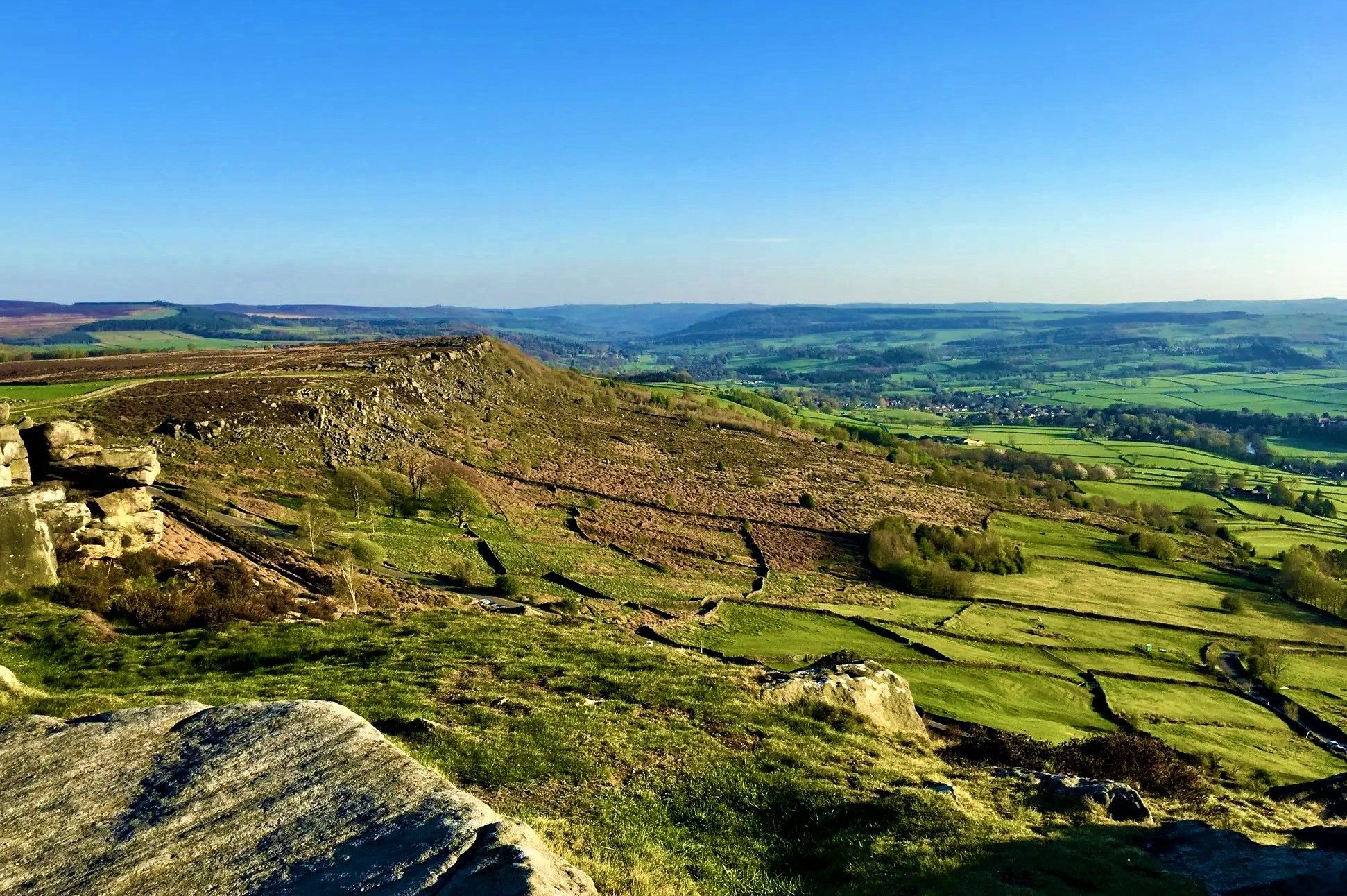
Easy hiking trails around Youlgreave are set within the Peak District National Park, characterized by its limestone landscapes, scenic dales, and flowing rivers. The region features prominent natural elements such as Lathkill Dale and Bradford Dale, where the Rivers Lathkill and Bradford carve through valleys. These areas offer a network of paths suitable for various easy walks, often following riverside routes or traversing gentle hills.
Best easy hiking trails around Youlgreave
- The most popular easy hiking route is Youlgreave village…
Last updated: October 4, 2026
4.6
(9)
64
hikers
4.91km
01:21
80m
80m
Easy hike. Great for any fitness level. Easily-accessible paths. Suitable for all skill levels.
5.0
(2)
12
hikers
3.05km
00:50
50m
50m
Easy hike. Great for any fitness level. Easily-accessible paths. Suitable for all skill levels.

4.0
(1)
7
hikers
5.89km
01:41
140m
130m
Easy hike. Great for any fitness level. Easily-accessible paths. Suitable for all skill levels.
4.5
(2)
15
hikers
6.73km
01:52
130m
130m
Easy hike. Great for any fitness level. Easily-accessible paths. Suitable for all skill levels.
5.0
(2)
9
hikers
6.09km
01:40
90m
90m
Easy hike. Great for any fitness level. Easily-accessible paths. Suitable for all skill levels.
Get access to more routes and recommendations from other explorers.
Already have an account?
Our route recommendations are based on thousands of hikes, rides, and runs completed by other people on komoot.
Other adventures around Youlgreave

Tips from the Community

One of the 17 Sites of Meaning around Middleton. There is a poem engraved onto the stone of the old clapper bridge.
0
0

Small craggy tunnel, don't know how far this goes into the rock, I assume it's an exploration shaft from the Lead Mining industrial past.
2
0


The Memorial erected in Youlgreave to the memory of the crew of a Wellington Bomber (RAF No BJ 652) that crashed at Smerrill on 21 January 1944. The plaque was erected in August 1995, on the fiftieth anniversary of the end of the Second World War. Listed on the plaque are the names and ages of the six RAAF crew who died: Flight Sergeant (Flt Sgt) W. T. Barnes, Flt Sgt F. P. Deshon, Flt Sgt L. G. Edmonds, Flying Officer (FO) K. J. Perrett, Flt Sgt J. Kydd and Sergeant (Sgt) T. D. Murton. All men were posted to No 27 Operational Training Unit RAF. https://www.militaryimages.net/media/wellington-bomber-r-a-f-no-bj-652.74912/
1
0

This picturesque, winding woodland path is packed with vibrant flowers and towering trees. It’s particularly stunning in spring when the flowers are in full bloom.
1
0

Sheep Dip inscription In late May or June - The farmers brought their sheep - To wash their fleeces - In this deep pool - Burbling, bumbling, bleating - The waters bleat like a flock of sheep it dipped - Dip your ghosts into this hard, cold merky place - Hear their bleat in the water's rush to escape - The foam like wool pulsates - Damp leaves nothing behind but the trees' readiness
1
0

Frequently Asked Questions
How many easy hiking trails are available around Youlgreave?
Youlgreave offers a wide selection of easy hiking trails, with over 25 routes specifically categorized as easy. These trails are perfect for exploring the scenic limestone landscapes and river valleys of the Peak District.
What makes Youlgreave a good place for easy hiking?
Youlgreave is ideal for easy hiking due to its gentle terrain, well-maintained paths, and picturesque scenery. The area features stunning limestone dales like Lathkill Dale and Bradford Dale, with crystal-clear rivers and diverse natural features, making for enjoyable and accessible walks.
Are there easy walks suitable for families with children?
Yes, many easy trails around Youlgreave are family-friendly. The riverside paths along the River Bradford are particularly popular for leisurely strolls and picnics. The River Bradford also features designated wild swimming areas, approximately 70cm deep, which are a hit with families looking for a refreshing dip.
Can I bring my dog on these easy trails?
Most easy trails around Youlgreave are dog-friendly, offering plenty of opportunities for your canine companion to enjoy the outdoors. However, please keep dogs under control, especially near livestock, and be mindful of local signage regarding leads in certain areas or during specific times of the year.
What natural features can I expect to see on easy hikes?
Easy hikes in Youlgreave showcase dramatic limestone gorges, towering cliffs, and the beautiful Rivers Lathkill and Bradford. You'll encounter diverse flora and fauna, and potentially spot features like the Twelve Weirs along the River Lathkill. The area's geology also means you might see interesting rock formations.
Are there any interesting landmarks or attractions near the easy trails?
Yes, Youlgreave's central location provides access to several interesting landmarks. You can explore nearby caves, or visit impressive viewpoints such as High Tor and Giddy Edge. For those interested in history, the magnificent historic estates of Haddon Hall and Chatsworth are also a short drive away.
Are there easy circular walks available from Youlgreave?
Yes, Youlgreave is an excellent starting point for several easy circular walks. Popular options include the Youlgreave village – River Lathkill — Twelve Weirs loop from Youlgreave, which is 3.6 miles long, and the shorter Youlgreave village – River Lathkill loop from Youlgreave at 2.5 miles.
What do other hikers enjoy most about hiking in Youlgreave?
The easy hiking trails around Youlgreave are highly rated by the komoot community, with an average score of 4.6 stars from over 1400 reviews. Hikers frequently praise the stunning riverside scenery, the tranquility of the dales, and the accessibility of the paths, making it a favorite for relaxed and enjoyable walks.
Are there any easy trails that follow the River Lathkill?
Absolutely. The River Lathkill is a highlight of the area, and several easy trails follow its course. A popular choice is the River Lathkill – Youlgreave village loop from Youlgreave, a 1.9-mile trail that takes you through the beautiful Lathkill Dale, often completed in about 50 minutes.
What is the best time of year for easy walks in Youlgreave?
Youlgreave offers enjoyable easy walks year-round. Spring brings wildflowers to the dales, summer provides pleasant temperatures for riverside strolls and wild swimming, while autumn showcases beautiful foliage. Even in winter, the trails can be picturesque, though some paths might be muddy, so appropriate footwear is always recommended.
Can I find refreshments or pubs near the easy trails?
Youlgreave village itself has amenities including pubs and shops, making it a convenient base for your hikes. Many easy trails start and end in or near the village, allowing you to easily access refreshments before or after your walk.
Are there any easy trails that offer views of Youlgreave village?
Yes, some easy trails provide lovely views of Youlgreave village nestled within the landscape. For instance, the Youlgreave village – River Lathkill loop from Youlgreave offers scenic views of both the village and the winding River Lathkill.
Most popular routes around Youlgreave
Most popular attractions around Youlgreave

Get inspired with the komoot mobile app


Explore more
Browse the best Hikes in other regions.
