The best hikes from bus stations around Purbeck
4.6
(3090)
32,710
hikers
202
hikes
Bus station hiking trails around Purbeck offer access to a diverse landscape on the Dorset coast. The region is characterized by its dramatic Jurassic Coastline, featuring limestone cliffs, coves, and iconic rock formations. Inland, the Purbeck Hills form a prominent chalk ridge, providing elevated views, while extensive heathlands and woodlands contribute to the varied terrain. These natural features create a range of hiking environments, from coastal paths to ridgeway trails.
Best bus station hiking trails around Purbeck
- The most popular bus station hiking route is Kimmeridge Bay and Clavell Tower loop from Kingston — Dorset, a 9.5 miles (15.3 km) trail that takes 4 hours 16 minutes to complete. This moderate route offers views of the coastline and the historic Clavell Tower.
- Another top favourite among local hikers is Purbeck Ridgeway, a moderate 9.4 miles (15.1 km) path. This trail follows the chalk ridge, providing panoramic vistas across the peninsula.
- Local hikers also love the Poole Harbour Trails 4, a 4.3 miles (6.9 km) trail leading through coastal areas, often completed in about 1 hour 45 minutes.
- Hiking around Purbeck is defined by its coastal paths, chalk ridges, and heathlands. The network of routes offers options for different ability levels, from easy strolls to more challenging ascents.
- The routes in Purbeck are highly rated by the komoot community with an average score of 4.6 stars from more than 2,700 reviews. More than 32,000 hikers have used komoot to explore Purbeck's varied terrain.
Last updated: June 30, 2026
4.9
(71)
439
hikers
15.3km
04:16
280m
280m
Embark on a moderate 9.5-mile (15.3 km) hike around Kimmeridge Bay and Clavell Tower, offering dramatic coastal views and varied terrain. This route involves 906 feet (276 metres) of elevation gain and typically takes about 4 hours and 16 minutes to complete. You will traverse natural paths, asphalt, gravel, and unpaved sections, including some steep ascents and descents, especially along the South West Coast Path. Look out for the iconic Clavell Tower, a Grade II listed folly perched dramatically above Kimmeridge Bay, providing a stunning visual landmark. From high points like Swyre Head, you can enjoy panoramic vistas of the Jurassic Coast, including Corfe Castle and the Isle of Portland. The trail also winds through woodlands and pastures, offering a diverse walking experience.
Before you set out, be aware that some sections can be narrow and rough, requiring good fitness and sure-footedness. The trail is accessible for much of its length, but prepare for the
4.9
(16)
187
hikers
15.1km
04:15
290m
310m
Moderate hike. Good fitness required. Mostly accessible paths. Sure-footedness required.

Sign up for free
4.3
(30)
144
hikers
6.88km
01:45
20m
20m
Embark on Poole Harbour Trails 4, an easy hike that guides you through a pleasant mix of riverside paths and open heathland. This route spans 4.3 miles (6.9 km) with a gentle elevation gain of just 61 feet (18 metres), making it a straightforward option for a relaxing outing. You can expect to complete the journey in about 1 hour and 44 minutes, enjoying views of the River Frome and the rich wildlife of the Purbeck Heaths as you go.
When planning your visit, remember that the trail is generally accessible and suitable for many walkers, with no stiles to navigate. While key junctions are waymarked, it's a good idea to carry a map or leaflet for extra guidance. For details on parking or public transport options to the trailhead, you should check local information specific to Wareham before you set out.
This trail offers a chance to explore the Purbeck Heaths National Nature Reserve, an area known for its diverse birds and marine life. A particular highlight is the View of the Wetlands, providing a scenic backdrop to your hike. You can also discover Wareham's historic Saxon Walls, a well-preserved ancient earthwork, adding a touch of history to your outdoor adventure.
4.9
(7)
37
hikers
18.7km
05:01
230m
230m
Hike the difficult 11.6-mile Old Harry Rocks and Ballard Down Circular Trail for stunning Jurassic Coast views and iconic chalk formations.
4.7
(97)
512
hikers
13.2km
03:49
310m
310m
Moderate hike. Good fitness required. Easily-accessible paths. Suitable for all skill levels.
Get access to more routes and recommendations from other explorers.
Sign up for free
Already have an account?
Our route recommendations are based on thousands of hikes, rides, and runs completed by other people on komoot.
Start today with a free account
Your next adventure awaits.
Login or Signup
Popular around Purbeck

Hikes from bus stations around West Lulworth

Hikes from bus stations around Swanage
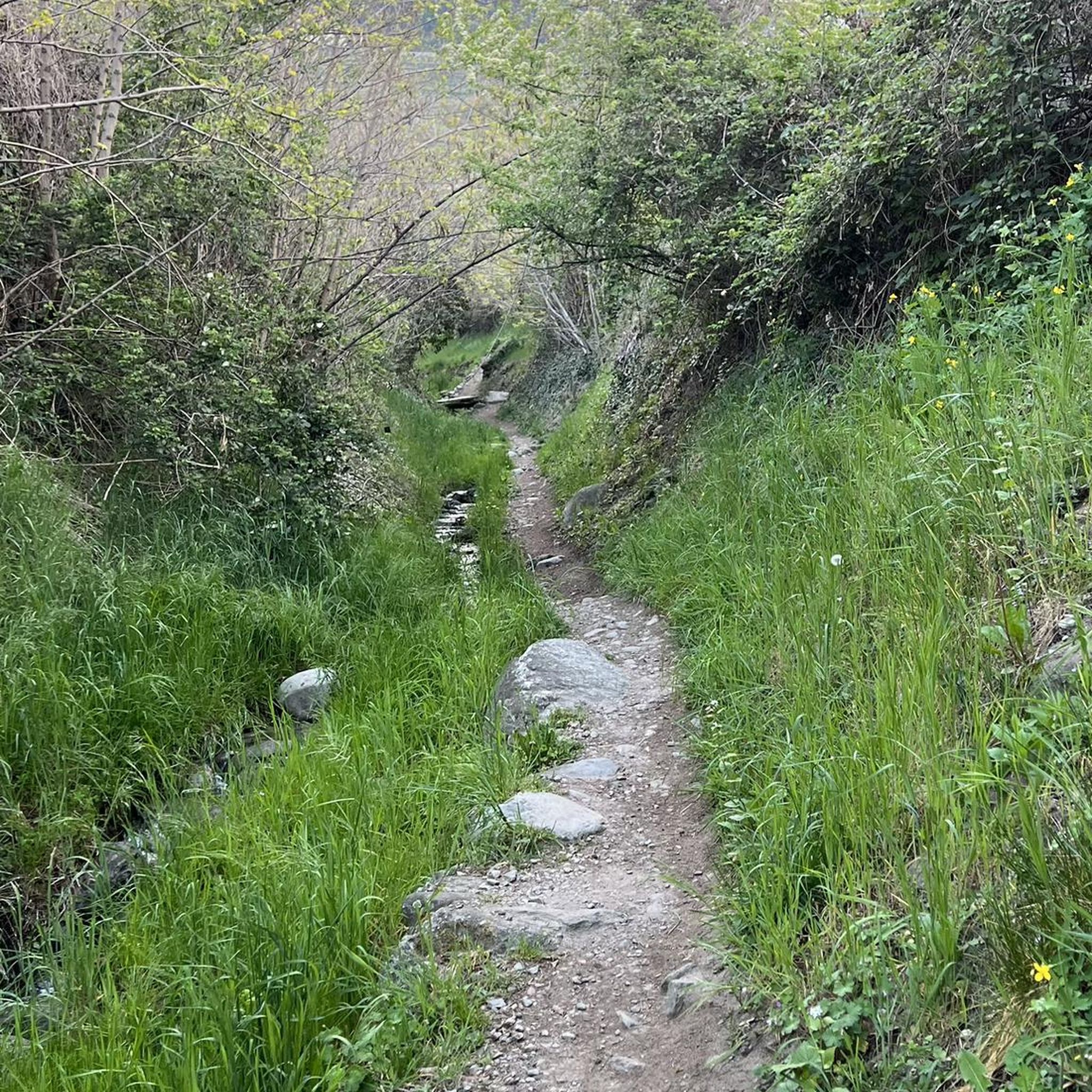
Hikes from bus stations around Corfe Castle
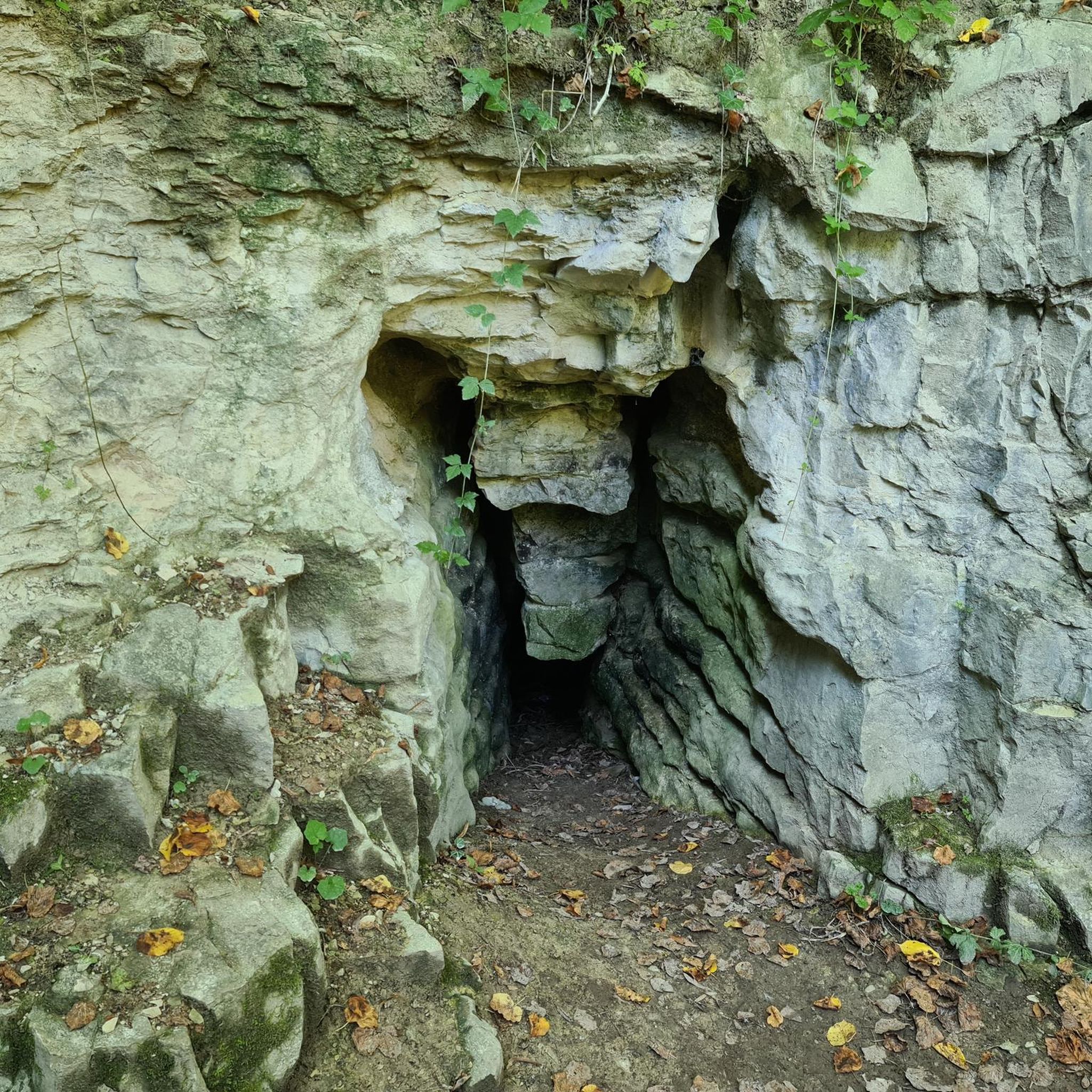
Hikes from bus stations in Stoborough Heath National Nature Reserve
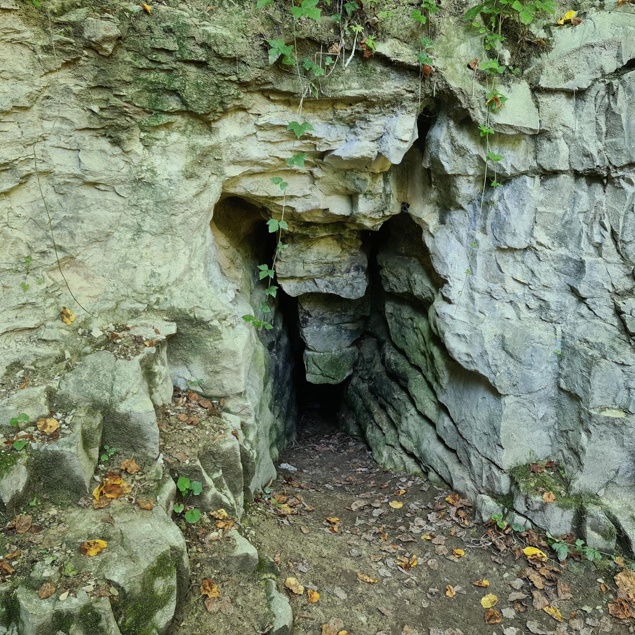
Hikes from bus stations in Hartland Moor National Nature Reserve

Hikes from bus stations in Studland And Godlingston Heath National Nature Reserve

Hikes from bus stations in Durlston National Nature Reserve

Hikes from bus stations in Holton Heath National Nature Reserve
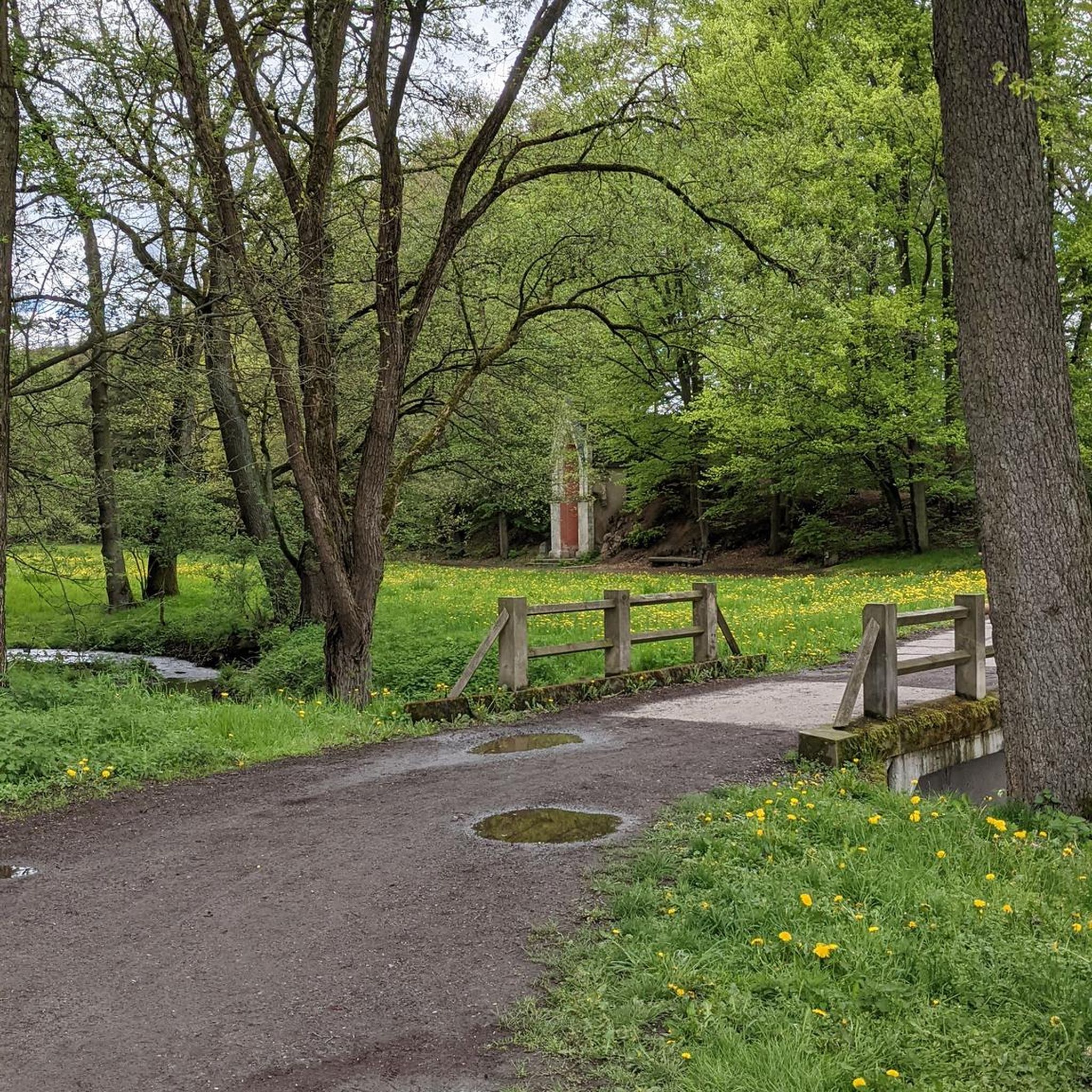
Hikes from bus stations around Wareham Forest
Hikes from bus stations in Morden Bog National Nature Reserve
Other adventures around Purbeck


Tips from the Community

Durdle Door is a natural limestone arch on the south coast of England in the county of Dorset. It is located on the famous Jurassic Coast, which is a UNESCO World Heritage Site. The rock arch was formed over millions of years by erosion: waves and weather wore away the softer rock, shaping the characteristic arch-like opening in the limestone.
1
0
From the coastal path, there are beautiful views of Man O’ War Beach. The small bay, framed by cliffs, is located right next to Durdle Door and impresses with its clear water and striking rock formations. Particularly from the higher sections of the path, there are impressive panoramic views of the coastal landscape.
2
0
The coastal path from Lulworth Cove to Durdle Door is one of the most beautiful sections of the Jurassic Coast. Again and again, impressive views of the sea, the white cliffs, and the spectacular coastal landscape open up. However, the path is not level: it goes uphill and downhill several times, so some fitness is required. The effort, however, is richly rewarded – with magnificent panoramic views of the picturesque bay of Lulworth Cove and the famous rock arch of Durdle Door. This way, every climb is quickly forgotten.
1
0

The "Why" Behind the Hill Burt didn't just put it there because it looked nice. He dedicated it to his uncle and mentor, John Mowlem (another massive figure in Swanage history). But there was a practical side, too: A Landmark: It served as a waypoint for ships navigating the tricky waters around Old Harry Rocks. The View: Burt was obsessed with showing off the beauty of his hometown. By placing it on the ridge, he essentially gave people a reason to climb the hill and look down at the town he was helping to build. The Great Disappearing Act (WWII) If you look closely at the obelisk today, it looks remarkably "clean." That’s because the one you see now is a reconstruction. During World War II, the original stone obelisk was considered a "navigational hazard." The British military was worried that German pilots would use the tall, white stone pillar as a landmark to help them find their bearings for bombing raids on nearby Bournemouth or Poole. So, in 1941, they knocked it down. For decades, it lay in pieces in the grass. It wasn't until 1973 that the Encombe Estate and local residents gathered the resources to rebuild it (using a mix of the original stone and some fresh Purbeck masonry) to celebrate "Plant a Tree in '73"—though ironic, as there isn't a tree in sight on that windy ridge!
0
0
If you’ve been hiking those ridges, that lone stone pillar standing guard over Swanage has likely caught your eye. It’s officially known as the Ballard Down Obelisk (or the Burt Memorial), and the story behind it is a classic tale of Victorian pride, a bit of eccentricity, and some very literal "re-gifting." The "Stolen" Monument The obelisk wasn't originally built for the Purbeck Hills. It actually started its life in London. In the mid-1800s, it served as a monument to a man named James Thompson, standing near the entrance to the Vauxhall Bridge. However, when the bridge was being rebuilt in the late 19th century, the obelisk became an "obstruction" and was destined for the scrap heap. Enter George Burt: The Man Who Moved London Swanage looks the way it does today largely because of George Burt, a local businessman who ran a massive masonry firm in London. He had a habit of taking "architectural leftovers" from London and shipping them back to Swanage as ballast on his empty stone boats. When he saw the obelisk was going to be demolished in 1892, he stepped in. He didn't just save it; he dismantled it, shipped it down the coast, and hauled it all the way to the top of Ballard Down.
0
0
If the view from Studland Hill is a grand "reveal," the view from Rollington Hill is more of a slow, scenic immersion into the Purbeck countryside. While Studland Hill (part of the Nine Barrow Down ridge) looks at Swanage from the north/northeast, Rollington Hill sits a bit further west, closer to Corfe Castle. From here, you’re looking down the "barrel" of the valley toward the sea.
0
0
The Bay: You’ll see the curve of Swanage Bay, dotted with colorful buoys and the occasional fishing boat or yacht making its way toward the pier. The Steam Train: If you time it right, you’ll see a literal plume of white steam puffing across the valley. The Swanage Railway runs right through the landscape below, looking like a high-end model railway set from this height. Peveril Point: To the far left of the town, the land juts out into the sea. You can often see the "white water" where the tides churn around the ledge—it’s a great reminder of how powerful the coast is, even when it looks peaceful from your perch. The Isle of Wight: On a crisp day, look straight out past the cliffs. You’ll see the Needles rising out of the water like jagged white teeth in the distance.
0
0
On June 15, 1945. A RAF Liberator JT985 flying to India crashed into a ridge in the Purbeck Hills shortly after takeoff from RAF Holmsley South, killing all 27 occupants (24 passengers, 3 crew) on board. The cause was likely the pilot flying too low in poor visibility.
1
0
Frequently Asked Questions
How many bus-accessible hiking trails are there in Purbeck?
Purbeck offers a wide selection of bus-accessible hiking trails. You can explore over 200 routes that start conveniently near bus stops, making it easy to discover the region's diverse landscapes without a car.
What is the general difficulty level of bus-accessible hikes in Purbeck?
The bus-accessible trails in Purbeck cater to various fitness levels. You'll find approximately 80 easy routes, over 100 moderate trails, and around 20 more difficult options for experienced hikers. This variety ensures there's a suitable hike for everyone.
What do other hikers say about the bus-accessible trails in Purbeck?
The komoot community highly rates the hiking experience in Purbeck, with an average score of 4.6 stars. Hikers frequently praise the stunning coastal views, the dramatic geological features, and the convenience of accessing trails via public transport.
Are there circular routes available from bus stops in Purbeck?
Yes, many bus-accessible routes in Purbeck are circular, allowing you to start and end your hike at the same bus stop. For example, the Kimmeridge Bay and Clavell Tower loop from Kingston offers a scenic circular journey.
What natural landmarks can I see on bus-accessible hikes in Purbeck?
Purbeck's bus-accessible trails offer access to incredible natural landmarks. You can hike to iconic formations like Durdle Door, the famous limestone arch, or the dramatic chalk stacks of Old Harry Rocks. Many routes also pass by the picturesque Lulworth Cove and the unique Stair Hole rock arches.
Are there historical sites or castles accessible via bus-friendly hikes in Purbeck?
Absolutely. Several bus-friendly hikes lead to significant historical sites. You can explore the dramatic ruins of Corfe Castle, perched on a hilltop, or visit Lulworth Castle. The region's ancient quarries, like Dancing Ledge and Winspit, also offer fascinating historical insights.
Can I find viewpoints with panoramic views on these trails?
Yes, Purbeck is renowned for its panoramic viewpoints. The Purbeck Hills offer extensive vistas across the countryside, including Poole Harbour and the Isle of Wight. Trails like the Old Harry Rocks and Ballard Down Circular Trail provide breathtaking coastal and inland views.
Are there family-friendly bus-accessible hiking trails in Purbeck?
Purbeck has many family-friendly options accessible by bus. Easy routes, often shorter and with less elevation gain, are ideal for families. For example, Poole Harbour Trails 4 is an easy hike suitable for a family outing.
Are dog-friendly routes available from bus stops in Purbeck?
Many trails in Purbeck are dog-friendly, allowing you to enjoy the stunning scenery with your canine companion. Always check local signage for specific restrictions, especially in nature reserves or near livestock, and keep dogs on a lead where required.
What kind of terrain can I expect on bus-accessible hikes in Purbeck?
You can expect a diverse range of terrain on Purbeck's bus-accessible hikes. This includes rugged cliff-top paths along the Jurassic Coast, chalk grasslands in the Purbeck Hills, sandy heathlands, and shaded woodland trails. Some routes may involve significant ascents and descents, particularly along the coast.
Can I spot wildlife on bus-accessible trails in Purbeck?
Purbeck is a haven for wildlife, and many bus-accessible trails pass through important habitats. The extensive heathlands are home to rare reptiles and numerous bird species. Coastal paths offer opportunities to spot seabirds, and if you're lucky, marine life. Durlston Country Park, accessible by bus, is particularly known for its rich array of wildlife.
What are some longer, more challenging bus-accessible routes for experienced hikers?
For experienced hikers seeking a challenge, Purbeck offers several longer and more demanding bus-accessible routes. The Purbeck Ridgeway provides a substantial hike with significant elevation changes and panoramic views. Another challenging option is the Old Harry Rocks and Ballard Down Circular Trail, which covers a considerable distance and includes varied terrain.
Most popular routes around Purbeck
Most popular attractions around Purbeck

Get inspired with the komoot mobile app


Didn’t find what you were looking for?
Check out more Hikes throughout Purbeck below and find the perfect route in your destination.
Explore more
Browse the best Hikes in other regions.
